Rattlesnake Flats Trail – Badger Trail – Bluff Trail Loop in Montaña de Oro State Park
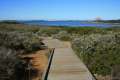
Completely resurfaced to be wheelchair-friendly, the Bluff Trail in Montaña de Oro State Park is one of the most pleasant coastal trails in California. Once you have hiked the Bluff Trail, you will probably want to see it again (and again and again). Revisit the Bluff Trail and get just a bit more elevation by creating a loop with Bluff Trail, Badger Trail, and Rattlesnake Flats Trail. Rattlesnake Flats Trail is single track that cuts through brush just inland from the Pacific Ocean. Badger Trail runs down a low ridge that extends into the bluff area, presenting a nice perspective over the coast. The loop is 1 2/3 miles long with 150 feet of elevation change and plenty of opportunities to hike even farther.
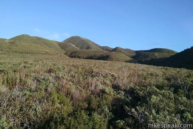
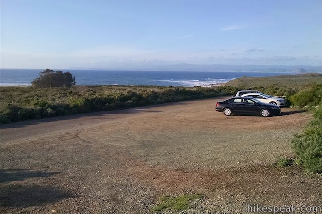
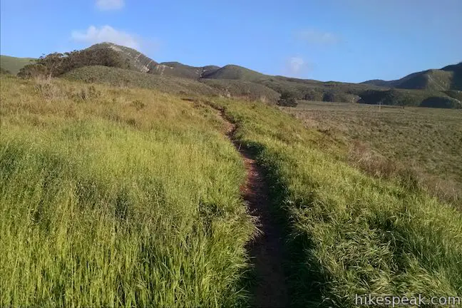
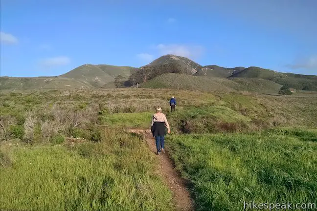
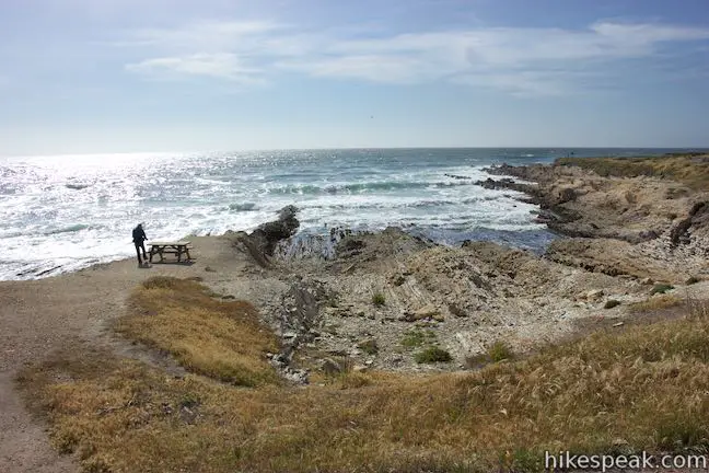
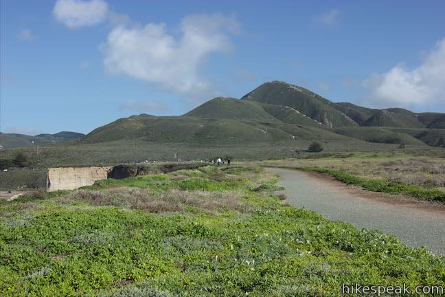
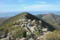
Badger Trail meets Bluff Trail next to Quarry Cove, near the mid-point of the Bluff Trail and 0.9 miles from the north end. If you start the hike on Bluff Trail and then hike up Badger Trail, you will end up with your back to the ocean. Avoid this scenario by saving Bluff Trail for the end of the loop. Hiking the loop in a clockwise direction, your first assignment is to walk a tenth of a mile up Valencia Peak Trail. This trail begins from the inland side of Pecho Valley Road across from to the north end of the Bluff Trail and shares the same trailhead parking area. Head up the trail to Valencia Peak, a picturesque summit that you will see rising to the east with a pyramid-shaped mountaintop above a ridge that stretches to the north that the trail uses to get up the mountain.
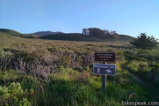
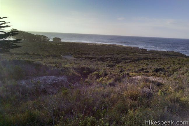
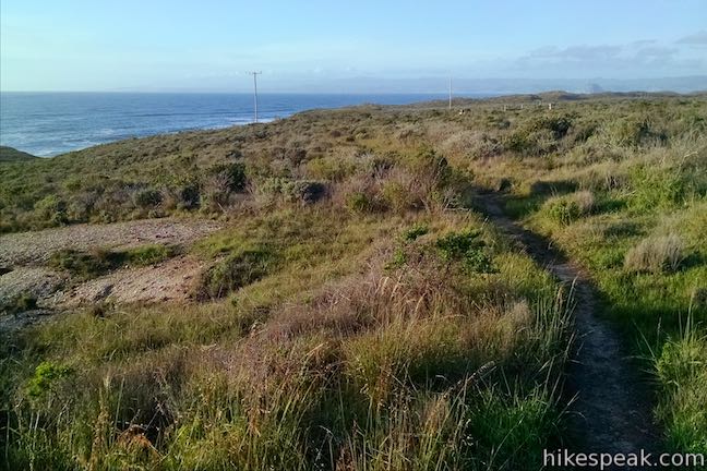
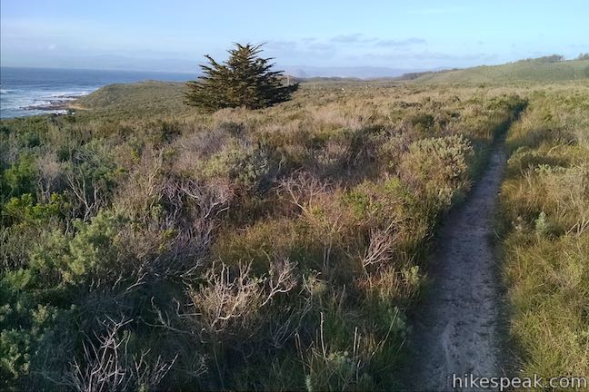
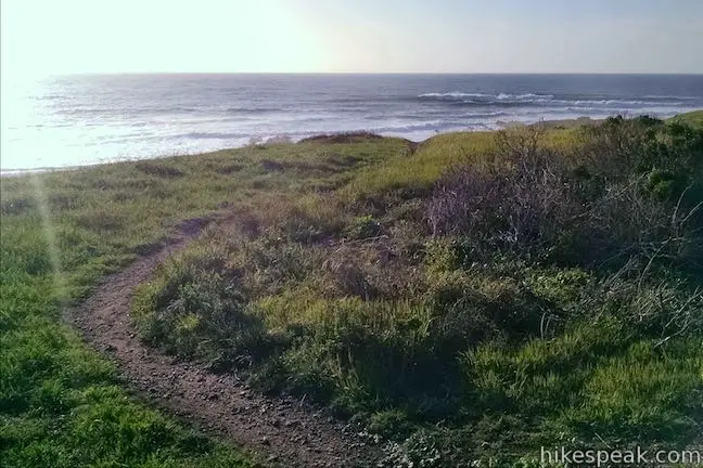
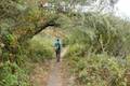
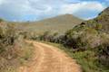
After a tenth of a mile, turn right at the first signed junction onto Rattlesnake Flats Trail. This single track heads south for a third of a mile to meet Badger Trail at a crossing of Pecho Valley Road. Hike south through sagebrush with views of Valencia Peak to your left and the ocean beyond the bluffs to your right. Also, be sure to watch out for poison oak along Rattlesnake Flats Trail.
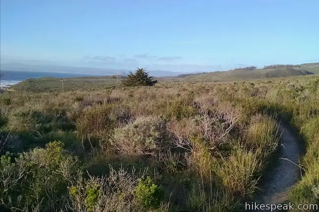
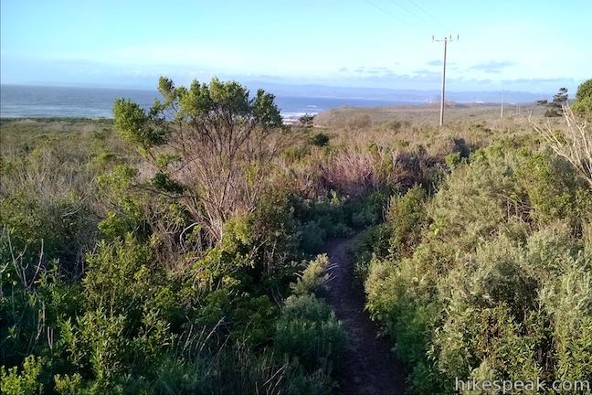
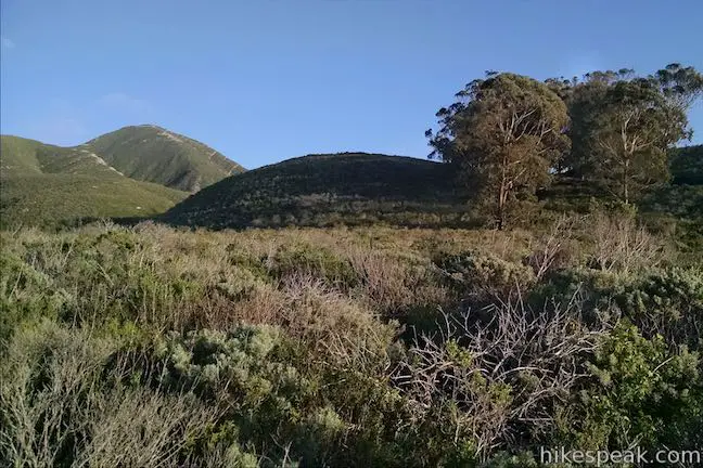
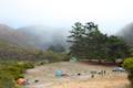
Drop across the bottom of a shallow gulch after 0.2 miles. Slip through a thicket and ascend the gradual slope ahead. A ridge covered by a small grove of eucalyptus trees will stand out in front of you. Within the trees you can spot the toilet at the site of Badger Flat Camp, one of the environmental campsites in Montaña de Oro State Park.
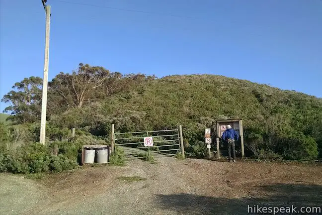
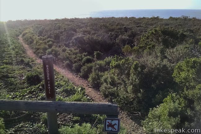
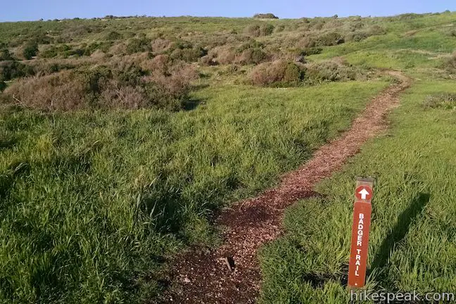
Rattlesnake Flats Trail ends at a junction with the trail up to the campsite. If you want to see the camp, turn left and hike 1/8 of a mile up the hill. Otherwise, turn right and go around a gate next to an information kiosk about the campsite. Walk across Pecho Valley Road where parking is available, providing another starting point for the hike. Just across the road, a sign for Badger Trail marks a single track heading west. As an alternative to Badger Trail, you could walk a short distance south along the road to find a wide, well formed trail leading down to Bluff Trail. However, this trail has lesser coastal views than Badger Trail.
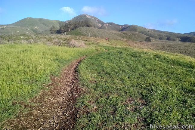
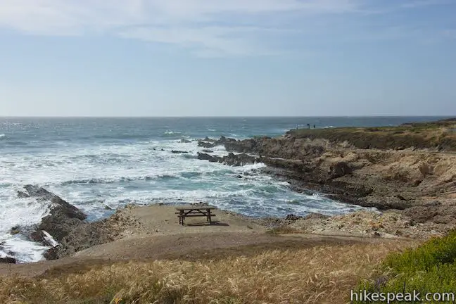
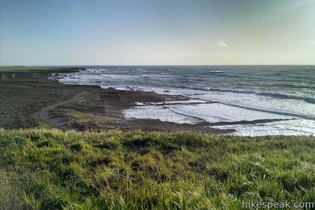
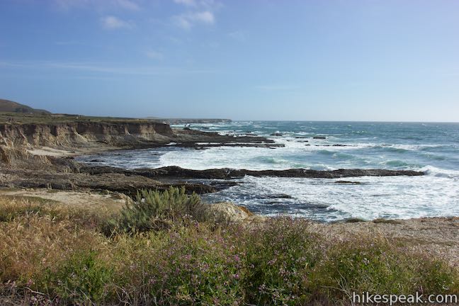
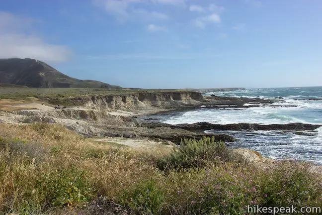
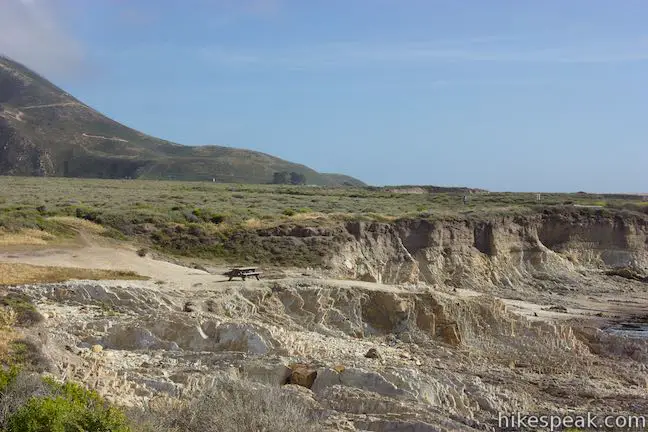
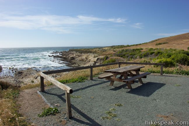
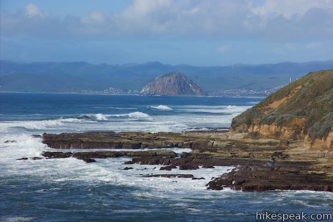
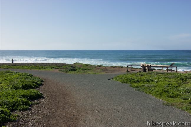
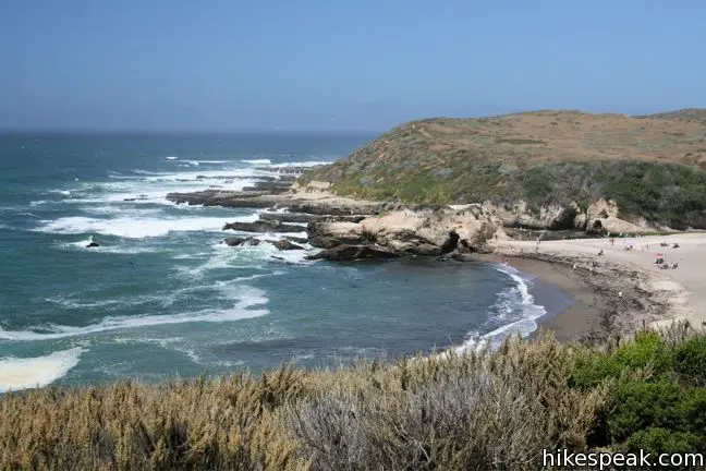
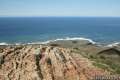
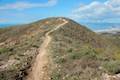
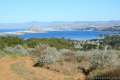
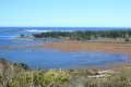
Badger Trail connects with Bluff Trail after 0.3 miles. The first 0.2 miles are fairly level, gradually sloping down a grassy ridge. The terrain drops away to your left and offers open views south down the coast. Below you, Bluff Trail passes Quarry Cove, where a couple picnic tables are set up by the ocean. Bluff Tail stretches south past a jagged coastline where waves roll up and meet rocky points and few sandy coves. Past Coon Creek Bay, another coastal bluff (that can be explored on Point Buchon Trail) stretches south as far as you can see. A tower at Disney Lookout pops out above this southern bluff.
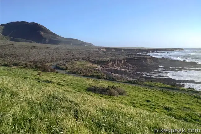
Badger Trail becomes steeper as it tips down the end of a ridge. Take in views of the ocean up and down the coast. At the bottom of Badger Trail, you’ll hit a T-junction with Bluff Trail. To the left, this trail reaches Quarry Cove in a tenth of a mile and comes to the end of the trail after 1.2 miles, reaching Coon Creek Trailhead Parking Area where Point Buchon Trail and Coon Creek Trail begin.
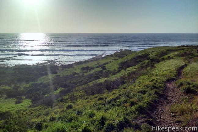
Turn right at the end of Badger Trail to hike 0.9 miles along the coast back to the trailhead. The trail goes gradually uphill and then curves to the right along a ravine (lower down from the same one you crossed on Rattlesnake Flats Trail. Turn left to cross a metal bridge over the ravine or continue straight on an express trail back to the trailhead that misses the coast.
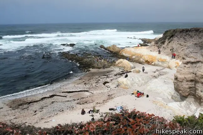
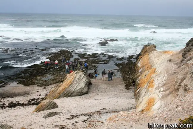
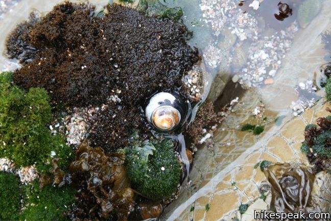
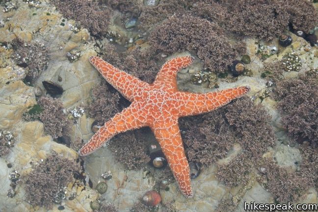
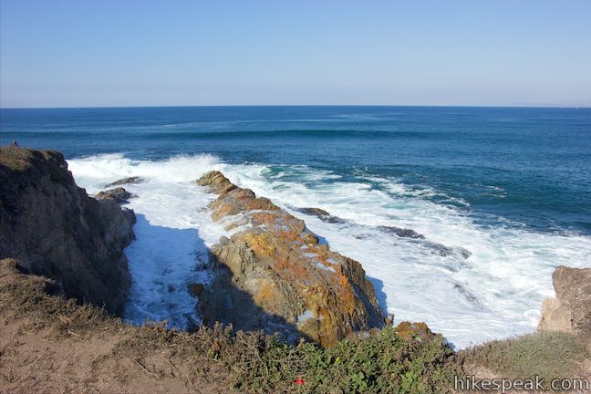
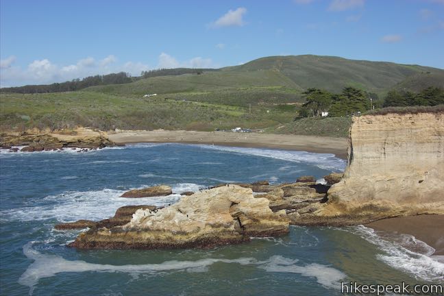
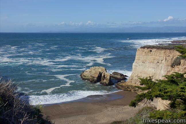
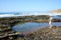
Across the bridge, turn left and follow the trail toward the ocean. On the left, a spur leads down to Corallina Cove, a beach and tide pool at the bottom of the ravine. Take a staircase down to the sand and walk out on the rocks of a time pool full of interesting coastal creatures like sea anemone, hermit crabs, and starfish.

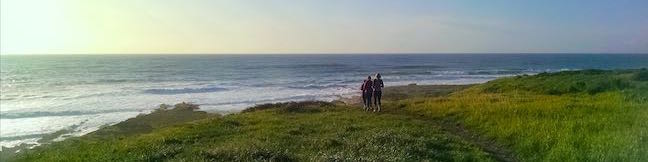
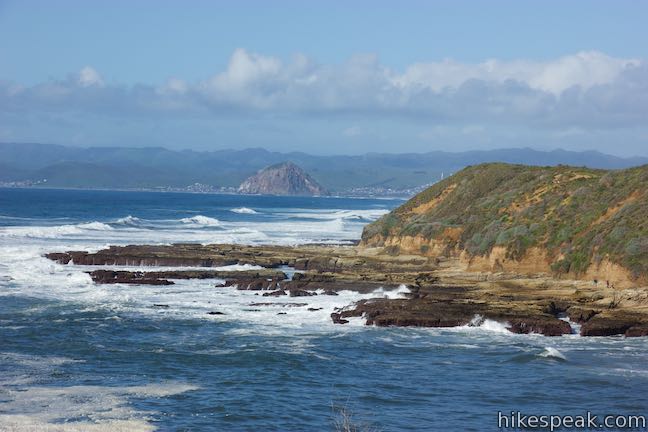
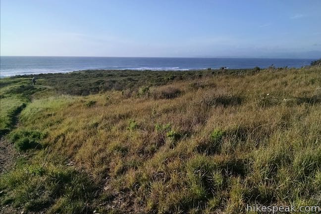
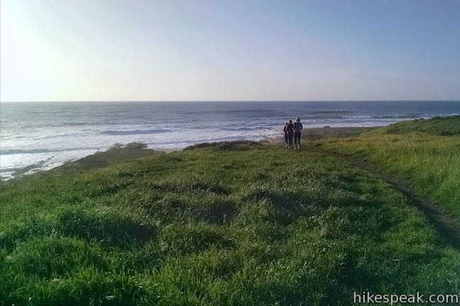
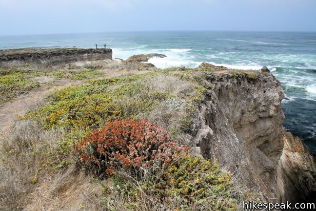
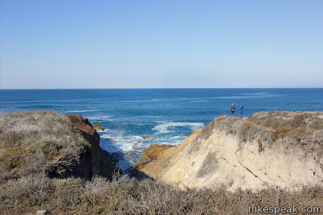
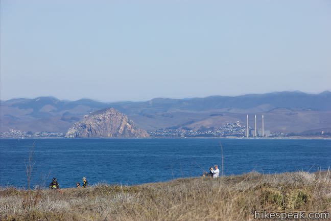
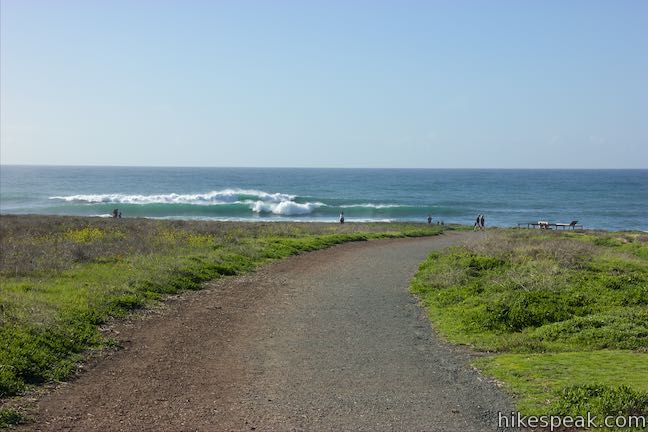
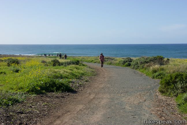
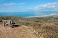
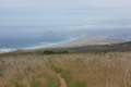
Go back up to Bluff Trail to complete the last half-mile of the hike. Aim north along the coast, passing a serrated shoreline with several wave-cut points and troughs. Come to a viewpoint where the trail turns to the right and heads inland. A panel at the viewpoint has information about coastal birds. Look north across Spooner’s Cove (the beach by the ranch house is to your right) and gaze up the dramatic coastline toward Morro Rock, a triangle of dacite rising above the bay.
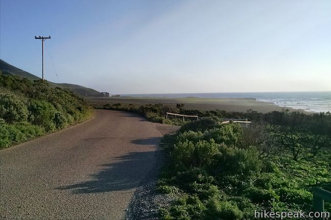
Follow the last leg of the Bluff Trail inland. Bear right near the end to dip across a shallow, cross a bridge, and return to the trailhead. You will finish right across from the start of Valencia Peak Trail where the 1 2/3 mile loop began. Though it might not be as scenic as just hiking Bluff Trail on its own, this loop does offer new perspectives of the beautiful oceanfront in Montaña de Oro State Park. Bikes are allowed on Bluff Trail, but are prohibited on the other trails on this loop. Dogs are not allowed.
Directions to the Trailhead
- From San Luis Obispo, exit Highway 101 at Los Osos Valley Road and drive a total of fifteen miles northwest toward Montaña de Oro State Park.
- After 11.2 miles Los Osos Valley Road becomes Pecho Valley Road and turns sharply to the south.
- Continue the final 3.8 miles, entering Montaña de Oro State Park and passing through a eucalyptus grove before reaching the parking area just past the visitor center.
- The trailhead for Valencia Peak Trail is on the left side of the road and the trailhead for Bluff Trail is on the right.
Trailhead Location
Trailhead address: Pecho Valley Road, Montaña de Oro State Park, Los Osos, CA 93402
Trailhead coordinates: 35.272858, -120.888755 (35° 16′ 22.28″N 120° 53′ 19.51″W)
View Montaña de Oro State Park in a larger map
Or view a regional map of surrounding Central Coast trails and campgrounds.


 | Bluff Trail This hike of around three miles tours tide pools, beaches, and impressive cliffs along the picturesque coast of Montaña de Oro State Park. |
 | Valencia Peak Trail This 4.5-mile hike summits a 1,347-foot peak with stunning views over Montaña de Oro. |
 | Coon Creek Trail This 5-mile out and back hike ventures up a coastal canyon at the south end of Montaña de Oro State Park. |
 | Point Buchon Trail This 1 1/3 to 6.8-mile hike explores the beautiful coastline south of Montaña de Oro State Park. |
 | Oats Peak Trail This scenic 10.8-mile hike ventures into Montaña de Oro State Park to a panoramic summit. |
 | Reservoir Flats Trail This 2-mile loop delivers fine ocean and canyon views as it explores the bottom of Islay Creek Canyon in Montaña de Oro State Park. |
 | Islay Creek Trail This easy 6-mile round trip hike follows a wide trail up a coastal canyon flanked by thousand-foot peaks, passing a small waterfall to reach an abandoned barn. |
 | Hazard Peak Trail This 6-mile round trip hike ascends coastal ridges to a 1,076-foot summit with panoramic views that include a dynamic perspective of Morro Bay. |
 | Hazard Peak - Islay Creek Loop This 9.2 mile loop continues beyond Hazard Peak deeper into Montana de Oro before circling back on Islay Creek Trail. |
 | South Dune Trail – Bloody Nose Trail – Hiedra Trail – Hazard Peak Trail Loop This 2 2/3-mile loop combines four trails through dunes and eucalyptus trees to lovely coastal views. |
 | Dune Trail to Hazard Canyon Reef This one-mile hike in Montaña de Oro State Park descends an oceanfront ravine to a rocky shoreline graced with engaging tide pools. |
 | Morro Dunes Ecological Reserve This 2.6-mile loop serves up panoramic views over Morro Bay as it ascends 800 feet from Los Osos to Montaña de Oro State Park. |
 | Elfin Forest Natural Reserve This easy 1-mile loop on a boardwalk explores a pygmy forest on the edge of Morro Bay. |
 | Cerro Cabrillo This tough 2.5-mile hike summits the highest mountain in Morro Bay State Park, a 911-foot member of the Nine Sisters. |
 | Portola Point This 2-mile loop explores a short hill just east of Morro Estuary in Morro Bay State Park. |
 | More hikes in San Luis Obispo Explore other trails around San Luis Obispo including Morro Bay State Park and the Morros. |
 | Islay Creek Campground This 50-site campground is located at the heart of Montaña de Oro State Park in Islay Creek Canyon, and is a great base camp for treks in the park. |
- Bluff Trail in California's Coastal Parks: A Day Hiker's Guide by John McKinney (opens in a new tab)
- Bluff Trail on californiacoastaltrail.com (opens in a new tab)
- Montaña de Oro State Park on summitpost.org (opens in a new tab)
- Montaña de Oro State Park on wikipedia.org (opens in a new tab)
- The official website for Montaña de Oro State Park (opens in a new tab)
Common Questions about Rattlesnake Flats Trail – Badger Trail – Bluff Trail Loop in Montaña de Oro State Park
- Is the trail open?
- Yes. You should expect to find that Rattlesnake Flats Trail – Badger Trail – Bluff Trail Loop is open. There are no recent reports of trail closures. If you discover that the trail is closed, please help your fellow hikers by reporting a closure.
- Is this trail free to access?
- Yes, Rattlesnake Flats Trail – Badger Trail – Bluff Trail Loop is free to access. No entrance fee, pass, or permit is required. If you discover that access rules have changed, please provide feedback on your experience.
- How much time does this hike take?
- It takes approximately 45 minutes to hike Rattlesnake Flats Trail – Badger Trail – Bluff Trail Loop. Individual hiking times vary. Add extra time for breaks and taking in the views.
- How long is this hike?
- The hike to Rattlesnake Flats Trail – Badger Trail – Bluff Trail Loop is a 1.65 mile loop with 150 feet of elevation change.
- Are dogs allowed on this trail?
- No, dogs are likely not allowed on Rattlesnake Flats Trail – Badger Trail – Bluff Trail Loop. The trail is primarily open to hikers.
- Is Rattlesnake Flats Trail – Badger Trail – Bluff Trail Loop good for kids?
- Yes, this hike is likely suitable for children. It is relatively short (1.65 miles) with manageable elevation gain.
- Are there ocean views on this hike?
- Yes, Rattlesnake Flats Trail – Badger Trail – Bluff Trail Loop offers views of the ocean.
- Where is the trailhead located?
- The trailhead for Rattlesnake Flats Trail – Badger Trail – Bluff Trail Loop is located in Los Osos, CA.
Trailhead Address:
Pecho Valley Road
Los Osos, CA 93402
Trailhead Coordinates:
35.272858, -120.888755 - What are the driving directions to the start of the hike?
To get to the trailhead: From San Luis Obispo, exit Highway 101 at Los Osos Valley Road and drive a total of fifteen miles northwest toward Montaña de Oro State Park. After 11.2 miles Los Osos Valley Road becomes Pecho Valley Road and turns sharply to the south. Continue the final 3.8 miles, entering Montaña de Oro State Park and passing through a eucalyptus grove before reaching the parking area just past the visitor center. The trailhead for Valencia Peak Trail is on the left side of the road and the trailhead for Bluff Trail is on the right.
View custom Google Maps directions from your current location.
- Are there other trails near Rattlesnake Flats Trail – Badger Trail – Bluff Trail Loop?
- Yes, you can find other nearby hikes using the Hikespeak Hike Finder Map.

Go the extra miles...
Submit a rating of this hike to go with your comment. Contribute to the average trail rating.