Hikes in Glacier National Park
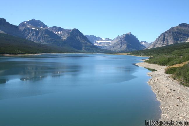
Glacier National Park is the Crown Jewel of the Continent! The 1,600-square mile park preserves a stunning wilderness area including the northernmost section of the Continental Divide in the United States of America. These jagged peaks are adorned with majestic glaciers. Seasonal snowmelt creates thundering waterfalls, nourishes lush pine forests, and fills mesmerizing turquoise lakes. Glacier National Park is doubtless one of the most scenic parts of the country and a great place to hike. Additionally, over a thousand campsites for overnight stays are spread among 13 campgrounds in Glacier National Park.
Highlights of Glacier National Park


Glacier National Park
Going-to-the-Sun Road is the principal roadway through the park, crossing the Continental Divide at Logan Pass. Going-to-the-Sun Road hosts many of the trailheads for day hikes in the park. In addition to your own vehicle, a free park shuttle travels across Going-to-the-Sun Road, making it easy to explore this picturesque roadway.
Canada’s Waterton Lakes National Park is Just across the border from Glacier. Together they form Waterton-Glacier International Peace Park, a world heritage site. For a great hike just north of the border, check out Crypt Lake Trail, which is consistently ranked as one of the best, if not the very best, hikes in the Canadian Rocky Mountains.
Glacier National Park is bear country, so be bear aware when hiking in Glacier National Park. Between May and October the entrance fee for Glacier National Park is $30 (for a seven day pass). In the winter months that price is reduced to $20.
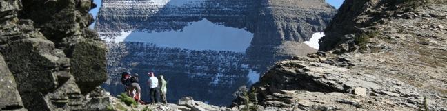
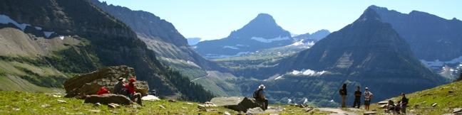
Glacier National Park Hiking
This collection of trails in Glacier National Park, lists the hikes roughly from north to south. The table may also be sorted alphabetically or by distance to help you pick your next hike in Glacier. There is also a search feature, which can be used to quickly isolate the hike you are looking for. Each trail links to its own report complete with photos, maps, directions, and all the other information needed to locate and enjoy these hikes. An interactive map below the table shows the location of each hike.
| Trail | Description | Distance | Location |
|---|---|---|---|
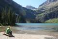 100 100 | Grinnell Lake Trail This long but level partial loop passes a triplet of beautiful turquoise glacier-fed lakes in the Many Glacier region of the park. | 7.5 miles 100 - 300 feet | 48.79536, -113.65726 |
 300 300 | Highline Trail This stunning trail along the Continental Divide offers many hiking options, like an amazing 13.5-mile through-hike that takes in the exceptional view from Glacier Overlook. | 7 - 15.2 miles 400+ feet | 48.696343, -113.7176 |
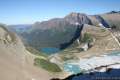 330 330 | Garden Wall Trail to Glacier Overlook This extension off Highline Trail climbs the Continental Divide to extraordinary views over Grinnell Glacier and a trio of subalpine lakes. | 2 miles 1,000 feet | 48.762639, -113.743372 |
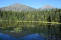 400 400 | Johns Lake Loop This loop visits a small lake in a mossy fores and then follows McDonald Creek past McDonald Falls to return to the trailhead. | 2 miles 225 feet | 48.63334, -113.862285 |
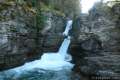 700 700 | Saint Mary Falls and Virginia Falls This out and back hike visits two waterfalls in the forest above Saint Mary Lake on the east side of Glacier National Park. | 3 miles 250 feet | 48.674307, -113.60872 |
Or explore hikes around Glacier National Park on the Hike Finder Map