Hikes in California

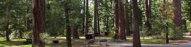
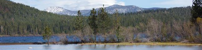
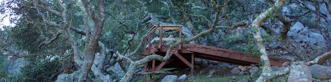
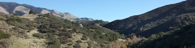
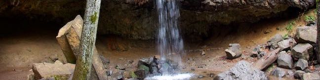
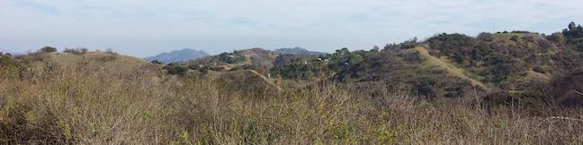
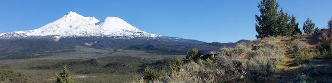
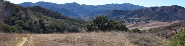
California is blessed with a variety of beautiful landscapes. You can stroll along beautiful coastlines, summit 14,000-foot peaks, or hike up desert canyons. California has so much to offer!

Hikespeak has write-ups for over 450 hikes in California (including over 175 Los Angeles area hikes). California also has campgrounds and other outdoor attractions that you can learn about on hikespeak.com. California trails have been organized into a few hiking regions. Pick a region from the map below to see a page with a list of trails in that area that can be searched and sorted. These lists offer links to individual write-ups packed with photos, GPS maps, directions, and other useful details. Hiking in California is a wonderful thing!

California Hiking Regions

Hiking in California

Want to visit one of California’s national parks? Jump straight to Joshua Tree, Death Valley, Kings Canyon, Pinnacles, Sequoia, or Yosemite.

Interested in other states? See where else hikespeak has been by switching over to the US page.

Not sure where you want to hike? Check out the latest trail reports below.

hikespeak
Fallen Leaf Campground in Lake Tahoe Basin National Forest Lands
While Lake Tahoe's deep blue waters are the region's biggest draw for summertime visitors, the under-the-radar Fallen Leaf Lake is a jewel in its own right. Fallen Leaf Campground is a great basecamp for exploring both lakes, thanks to its central location about 1/4 mile from the north end of Fallen Leaf Lake and a mile from the south end of Lake Tahoe. ...Read more.
By: Published: September 11, 2024 Last updated: April 17, 2026
Moraine Trail to Fallen Leaf Lake in Lake Tahoe Basin National Forest Lands
What's better than hiking by a lovely creek - maybe hiking by a lovely lake. You can do both on Moraine Trail, visiting Fallen Leaf Lake and Taylor Creek in the Lake Tahoe Basin National Forest Lands near South Lake Tahoe. This easy and level loop is 1.1 miles long, including a short side trail to Fallen Leaf Lake Dam. The mountain-cradled Fallen Leaf Lake is located just south of Lake Tahoe. ...Read more.
Distance: 1.1 miles · Elevation change: 35 feet
By: Published: July 26, 2023 Last updated: April 18, 2026
Way of the Mono Trail in Sierra National Forest
Interpretive trails are usually good places to appreciate the finer features of a forest, but they tend to lack grand vistas. This is not the case with Way of the Mono Trail, which rises to a splendid view over Bass Lake, a beauty in the Sierra Nevada Mountains south of Yosemite National Park. Way of the Mono Trail is a 0.6-mile loop with 140 feet of elevation change. ...Read more.
Distance: 0.6 miles · Elevation change: 140 feet
By: Published: June 30, 2021 Last updated: April 12, 2026
“Social Distancing” hikes around Los Angeles
Most trails around Los Angeles have now closed. You are about to read an unusual post for a hiking website, written during the coronavirus pandemic. Hikespeak.com is in no way qualified to offer medical advice. If the government issues any rules or guidelines that contradict something written here, ignore hikespeak and follow the recommendations of government and medical professionals. ...Read more.
By: Published: March 17, 2020 Last updated: April 8, 2026
Lemon Grove & “M” Trails Loop on Cerro San Luis in San Luis Obispo
The mountain named Cerro San Luis is one of the top places to hike in San Luis Obispo, and its trailhead is actually in walking distance from downtown SLO. If you're drawn to the large white “M” on the side of the mountain, you're in luck! Not only is the “M” reachable as an extension of the hike to the summit, but thanks to trail created in 2017, hikers can touch the “M” at the top of a loop. ...Read more.
Tagged with · Free Trails · Morros
Distance: 2.4 miles · Elevation change: 560 feet
By: Published: April 2, 2019 Last updated: April 18, 2026
Creek Bypass Trail Loop in Reservoir Canyon Natural Reserve
During the late teens of the 22nd century, San Luis Obispo has developed Reservoir Canyon Natural Reserve into a versatile hiking destination, with upgraded trails and features. Reservoir Canyon Trail and Summit Trail deliver great half-day hikes. However, a shorter option exists that packs Reservoir Canyon into a one-mile experience with 150 feet of elevation change. ...Read more.
Distance: 1 mile · Elevation change: 150 feet
By: Published: February 12, 2019 Last updated: April 18, 2026
Hedge Creek Falls in Dunsmuir
Hedge Creek Falls is a 35-foot waterfall pouring over a basalt overhang into a wooded ravine above the Sacramento River south of Mount Shasta. A short trail leads to the waterfall from a trailhead right beside an Interstate 5 offramp in Dunsmuir, so this waterfall hike makes a great break from highway travel. The fun trail actually passes behind the waterfall, going underneath the overhang, and continues down to a Sacramento River Overlook, resulting in a never-a-dull-moment 0. ...Read more.
Distance: 0.6 miles · Elevation change: 130 feet
By: Published: February 4, 2019 Last updated: December 5, 2025
Longridge Park in Sherman Oaks
The Santa Monica Mountains have significant parks with great hiking getaways. Often overlooked are smaller undeveloped pockets within the mountains that offer quick escapes from the stresses of Los Angeles. Longridge Park in Sherman Oaks is the latter, a 50-acre park with a 0.2-mile long use-trail. Longridge Trail has ridge-top views throughout its short run, like perspectives north across the San Fernando Valley and east toward the Griffith Park end of the range. ...Read more.
Distance: 0.4 miles · Elevation change: 75 feet
By: Published: January 14, 2019 Last updated: April 8, 2026
Haystack Trail in Klamath National Forest & Mount Shasta
The Haystack is a diminutive volcanic dome with great views of the enormous, snowy mass of Mount Shasta. Haystack Trail presents a 2.55-mile lollipop loop hike that tours the Haystack's summit plateau, boasting broad views in all directions that include Mount Shasta, the Klamath Mountains, and Shasta Valley. This high desert hike passes through juniper and sage that get embellished by spring wildflowers like lupines and Indian paintbrush. ...Read more.
Distance: 2.55 miles · Elevation change: 375 feet
By: Published: March 7, 2018 Last updated: December 5, 2025
Las Virgenes View Trail in the Santa Monica Mountains
Las Virgenes View Park preserves nearly 700 acres of the Santa Monica Mountains adjacent to Malibu Creek State Park. The park has one established trail, Las Virgenes View Trail, which rises to a panorama-boasting ridge. The trail traverses grasslands and oak woodlands near Las Virgenes Road and then runs up a canyon to a ridge where it forms a small loop with mountain views in all directions. ...Read more.
Distance: 4.95 miles · Elevation change: 520 feet
By: Published: March 2, 2018 Last updated: April 18, 2026