Hikes on the Palos Verdes Peninsula
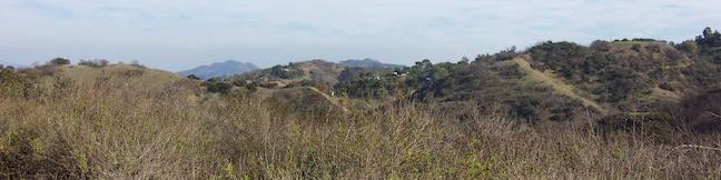
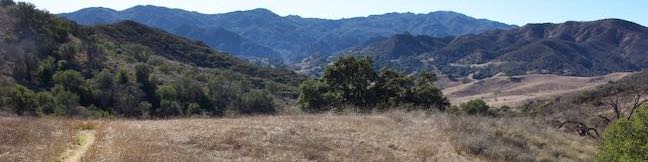
From a distance, this picturesque peninsula in the southwest corner of Los Angeles County can appear like an island, hovering above the haze of Santa Monica Bay. The peninsula feels far away too, with rugged bluffs that look more like the Central Coast than waterfront typically found around Los Angeles. Parks and reserves throughout Palos Verdes create pockets of green spaces that are prefect for short day hikes. Take a quick trip to a far away place.
Highlights of Palos Verdes Peninsula


Hiking Palos Verdes Peninsula
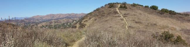
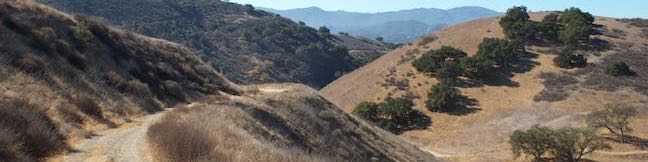
This collection of trails on the Palos Verdes Peninsula lists the hikes from north to south. The table may also be sorted alphabetically or by distance to help you pick your next hike. Each trail links to its own report complete with photos, GPS maps, elevation profile, directions, and all the other information needed to locate and enjoy these hikes. An interactive map is also included.
| Trail | Description | Distance | Location |
|---|---|---|---|
 900 900 | Lunada Canyon Trail This short trail explores an overgrown canyon between two residential ridges inland of Lunada Bay. | 1-1.9 miles 200 - 550 feet | 33.7684, -118.411 |
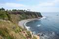 910 910 | Seascape Trail This level family-friendly hike explores scenic coastal bluffs north of the historic Vicente Point Lighthouse on Palos Verdes Peninsula. | 1.5 miles 40 feet | 33.74718, -118.4118 |
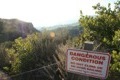
 915 915 | Portuguese Bend Reserve This double loop explores the scenic coastal hillsides and canyons in Portuguese Bend Reserve on the Palos Verdes Peninsula and can easily be shortened to 3 miles round trip by omitting the lower loop. | 5.15 miles 975 feet | 33.75765, -118.3673 |
 920 920 | Quarry Loop This short loop in Forrestal Nature Reserve delivers lots of ocean views as it circles an old bowl-shaped quarry. | 1.25 miles 325 feet | 33.737639, -118.347464 |
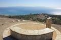
 925 925 | Deane Dana Friendship Park This loop circles a park with panoramic ocean views over the south end of the Palos Verdes Peninsula. | 1.1 miles 200 feet | 33.731209, -118.319147 |
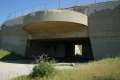 930 930 | White Point Nature Preserve This loop on Palos Verdes Peninsula explores an open space containing a military bunker built to defend the west coast during World War II. | 1 to 2.5 miles 150 feet | 33.716086, -118.31516 |