Anza Loop Trail
in the Santa Monica Mountains
In a rolling, grassy stretch of the Santa Monica Mountains near the 101 Freeway, Anza Loop Trail plots a course through history. Pause along the trail to study panels and plaques about the past – or just breeze through the loop and enjoy the present sights and sounds.
Like Anza-Borrego Desert State Park, Anza Loop Trail takes its name from Juan Bautista de Anza who led an expedition up California, solidifying a route that is now known as El Camino Real. In 1776, while history was being made on the east coast, the Spanish were creating land routes between their settlements on the west coast. To cross between the San Fernando Valley and the Conejo Valley, Anza led a large party through the hills along Anza Loop Trail. The 101 Freeway now built to the north follows the route that Anza helped establish.
Hiking Anza Loop Trail is like picking a glass of wine. Not white or red, but stem-less or stemmed. Starting from Juan Bautista de Anza West Trailhead off Las Virgenes Road creates a circuit with a stem that is 4.5 miles round trip with 535 feet of elevation change. Juan Bautista de Anza East Trailhead on Calabasas Road removes the stem for a 3.8-mile round trip loop with a 510 feet of elevation between its low and high points.
Directions for both trailheads are provided, beginning with the route from the west trailhead.
Anza Loop Trail from Las Virgenes Road
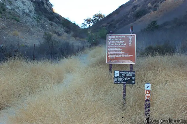
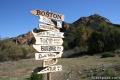
Departing from Juan Bautista de Anza West Trailhead delivers a lollipop loop that kicks off with a short ascent to the start of the circuit. A cluster of panels provide a lot of optional reading to review before you set out. One panel explains that Anza was not the first European to take this route:
On the morning of the 15th of January 1770, the expedition led by Don Gaspar de Portola set out from a place just south of present day Westlake Village and traveled through this valley of their way to what is now Encino in the San Fernando Valley. Portola’s expedition was the first to pass through this area as the Spanish developed a land route connecting Mexico to the San Francisco Bay. Their purpose was to establish a lifeline that would secure their outposts in Alta California against Russian attempts to create colonies of their own as far south as the San Francisco Bay.
Of course, Native Americans had been using this route between the valleys for centuries to travel for trade and resources. The Spanish made footpaths into roads.
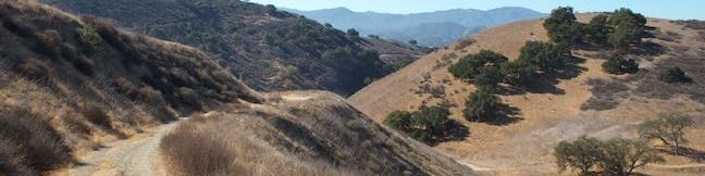
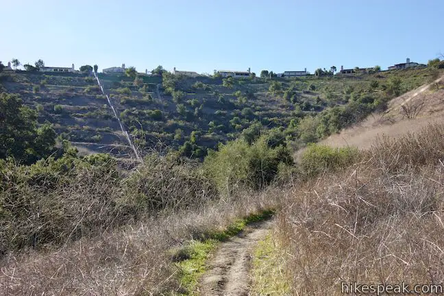
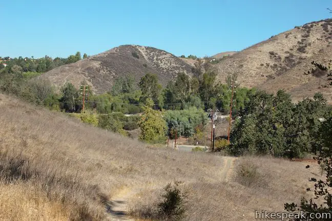
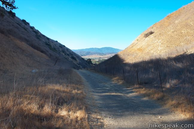
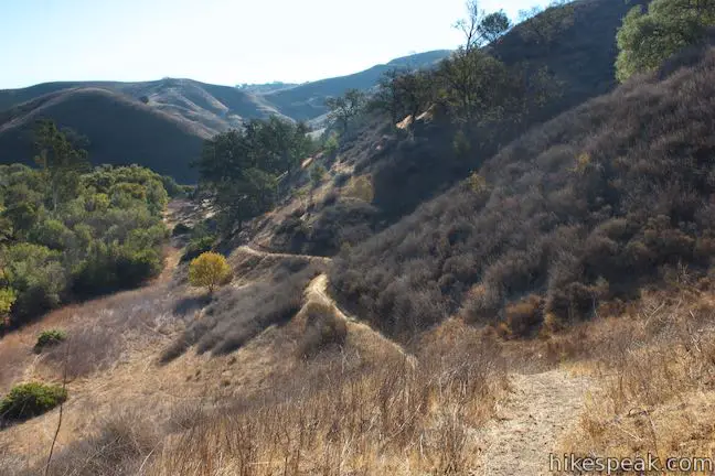
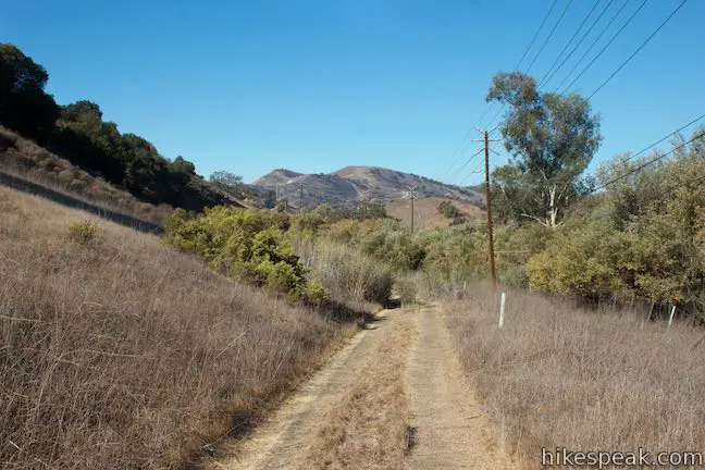
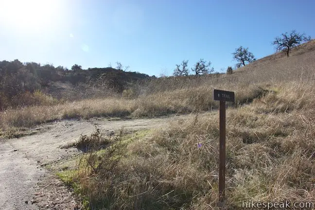
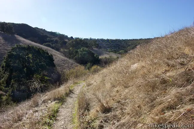
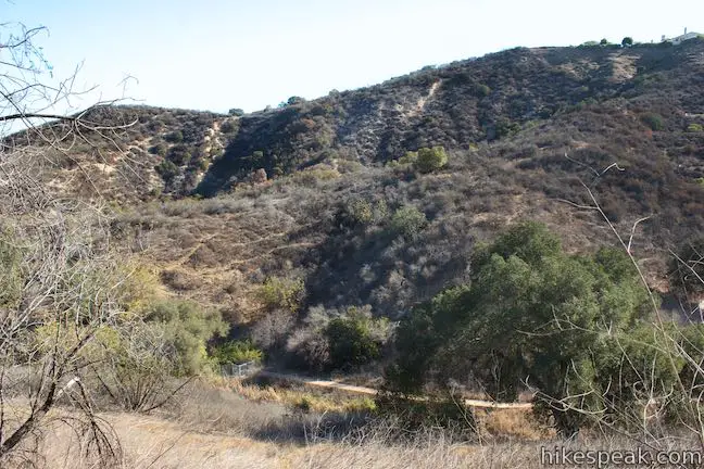
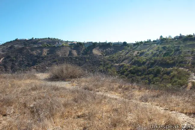
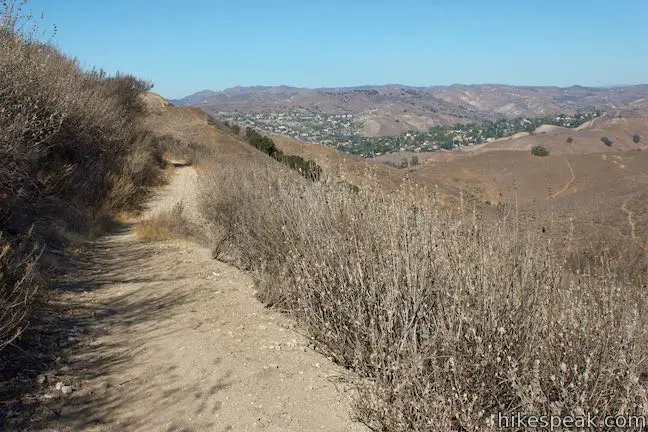
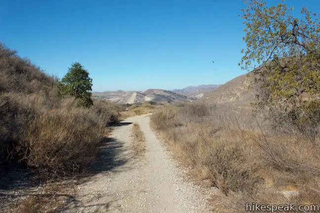
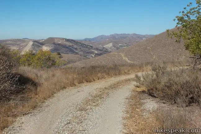
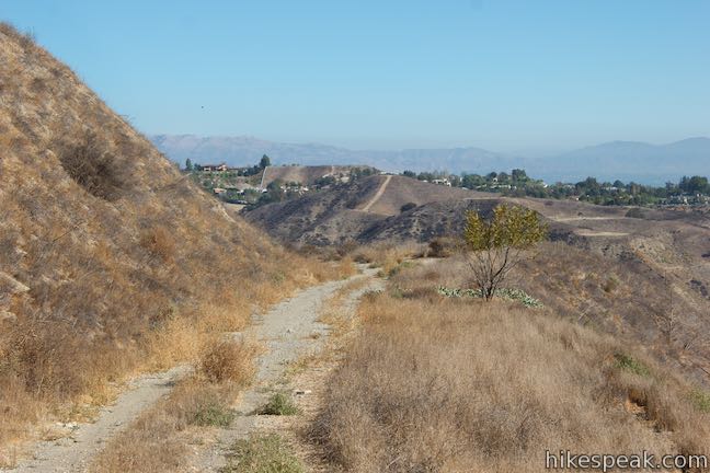
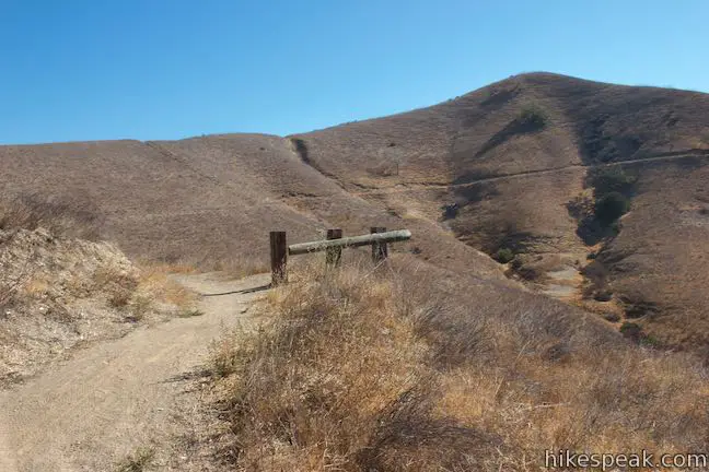
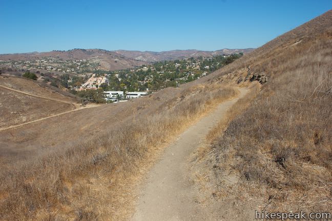
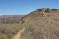
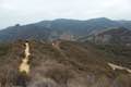
Set out east up a wide dirt trail that heads up a gap between two grass-covered ridges. A sign notes that you are entering Santa Monica Mountains Conservancy Zone Parkland and lists the distance to Anza Loop Trail at 0.3 miles. March up the trail, rising to nice over-the-shoulder views toward Agoura Hills framed by the grassy ridges.
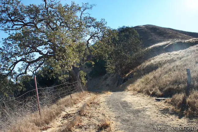
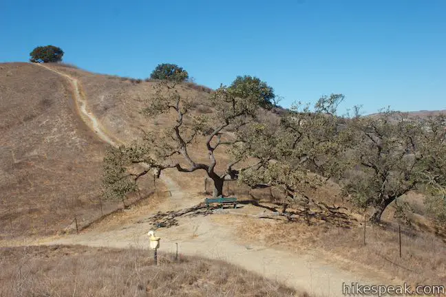
As the trail crests, pass a bench below an oak tree, where you can pause for a sit (the path to the left of the bench is not part of the loop but appears to lead to a nice perch). Just ahead, meet the junction where the loop begins. To the right, a single track branch of Anza Loop Trail rises up a grassy slope. You could certainly take this path, but the directions offered here tackle the loop in a clockwise direction (this way, you’ll get to finish the loop with nice views toward Ladyface Peak). Stay to the left through the junction, proceeding on the wide dirt trail, which curves to the left and eases off the side of the ridge through a few more oaks.
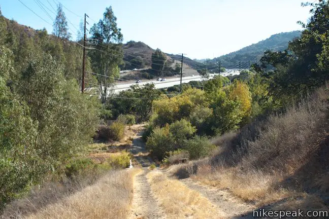
Less than a tenth of a mile past the junction, pass a plaque and a vista looking out over the 101 Freeway. It’s time to get the “freeway-adjacent” part of the loop out of the way… Press on.
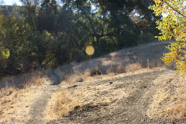
In another tenth of a mile (and half a mile from the start), don’t follow the road when it twists to the left. Instead, proceed straight and go down a single track (to avoid covering some extra distance). At the bottom of the slope, bear right as the two paths come back together. Proceed across a grassy oak-dotted landscape for another tenth of a mile to a plaque entitled, “On the Trail with Anza,” describing the history you are hiking through:
In 1775, Juan Bautista de Anza was give permission by the Viceroy of New Spain to found a mission and presidio at the port of San Francisco. He enlisted soldiers with families from the area around Culiacan and other small communities on the west coast of what is now Mexico and headed north to the Mexico – California frontier. In October of that year, Anza’s expedition set out from Tubac in Sonora (now southern Arizona) to follow the trail Anza explored two years earlier.
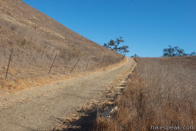
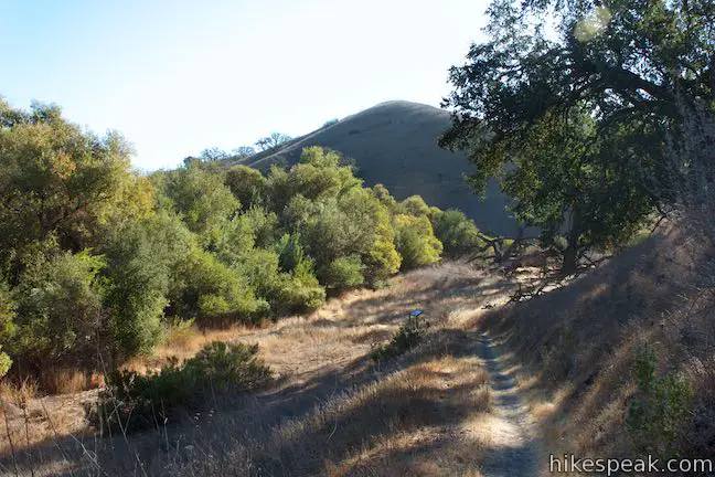
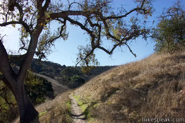
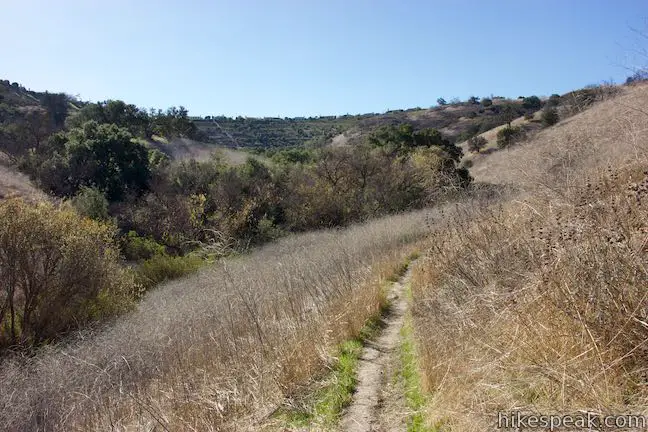
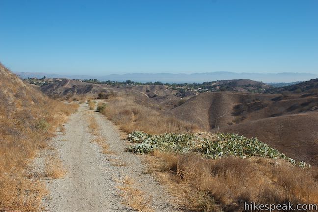
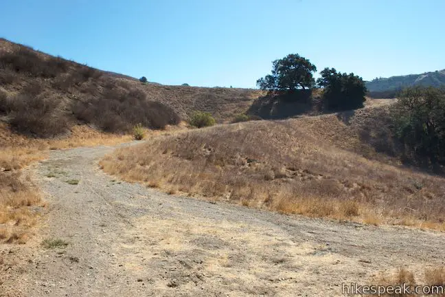
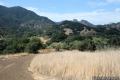
Proceed across a relatively level stretch of the trail, going through grasses beside an oak grove. About a third of a mile after the panel describing Anza’s expedition, the trail makes an abrupt left turn and cuts across a draw in the terrain. Rise up to a double-track trail and turn right. The first mile of the hike is complete.
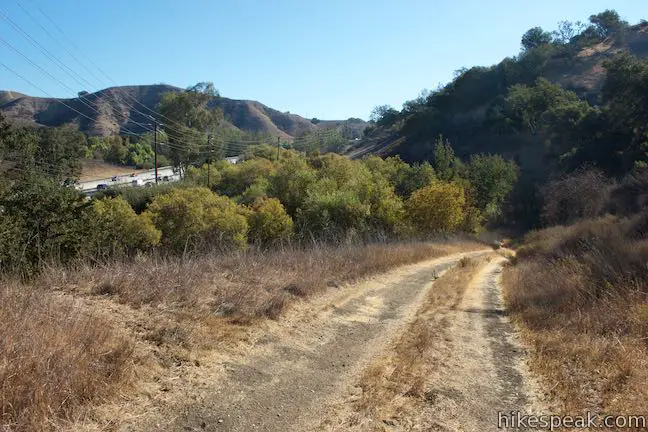
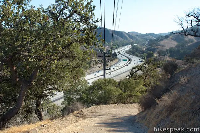
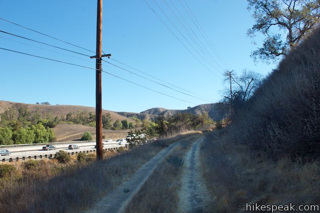
Rush your way through the next stretch of the trail, which is far closer to the freeway than any hiking trail should be. Come to a plaque honoring the site where Anza’s large expedition made camp on the 73rd night of the journey from Tubac (Arizona) to San Francisco.
Near this spot on February 22, 1776, Juan Bautista de Anza and his expedition of approximately 200 colonists, and 100 soldiers, cowboys, and muleteers and about 1,000 head of livestock, camped on their way to settle what is now San Francisco.
An expedition of that size could definitely cut a lasting trail across the land. Anza’s expedition included the earliest Spanish families to settle in Alta California.
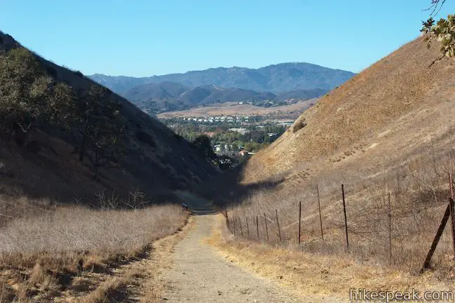
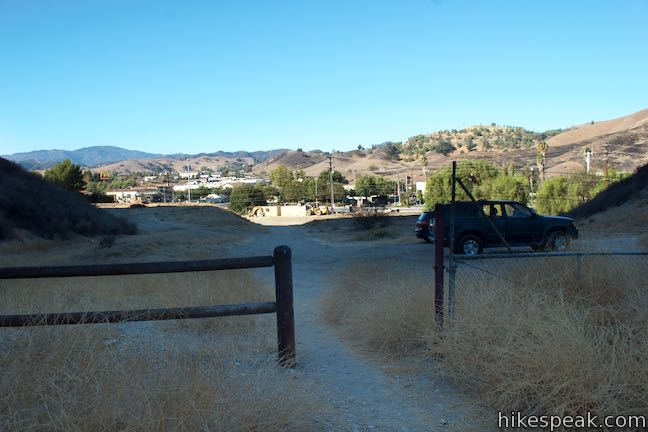
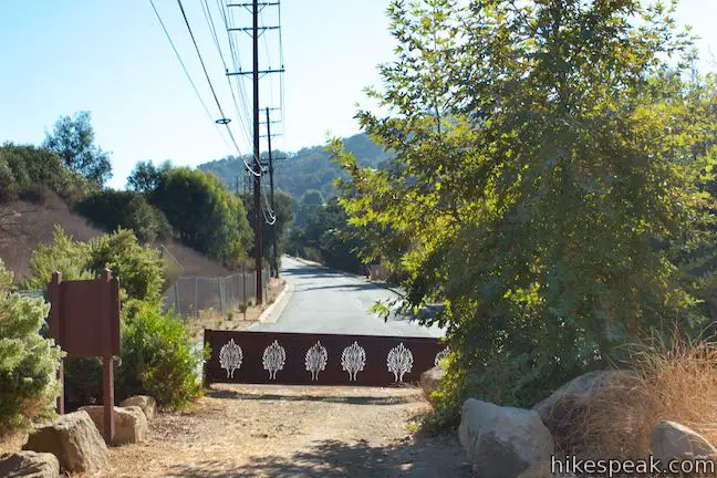
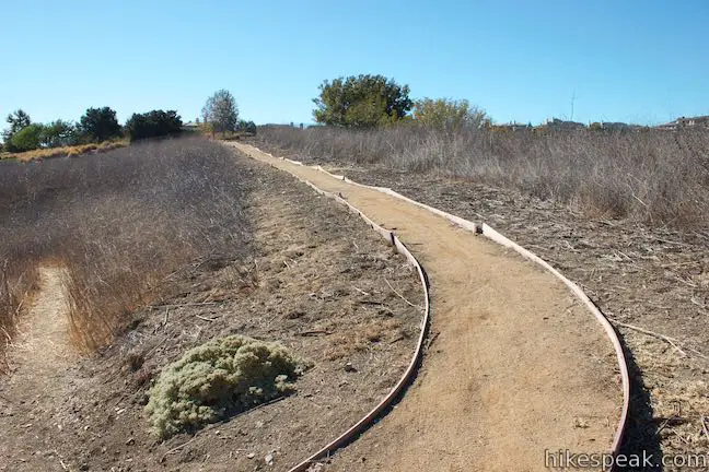
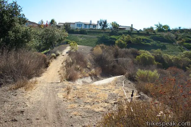
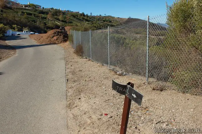
Walk another 250 feet up the trail and come to Juan Bautista de Anza East Trailhead at the end of Calabasas Road, 1.45 miles from the west trailhead. To continue with the loop, walk up the right shoulder, where you may pass some parked cars. Just past mileage marker 0.06, find a paved trail dropping off the south side of the road. A metal chain crosses this paved trail as it plunges to a gully. A sign to the right reads, “Anza Loop Trail (3.7 mi round trip).”
Follow this short stretch of introductory pavement as it dips across the gully and curves to the left. Rise to the end of the pavement, just 0.05 miles from Calabasas Road. Take the dirt single-track parting to the right, next to a sign for Anza Loop Trail with a not-so-helpful directional arrow.

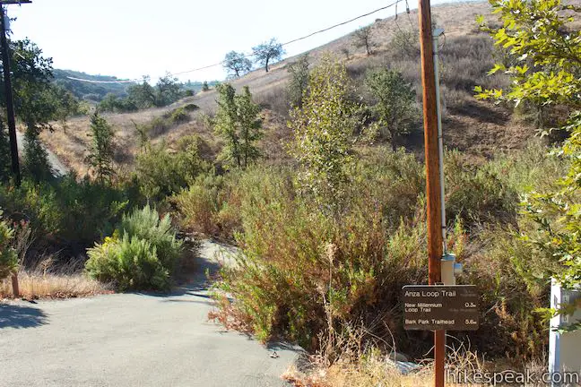
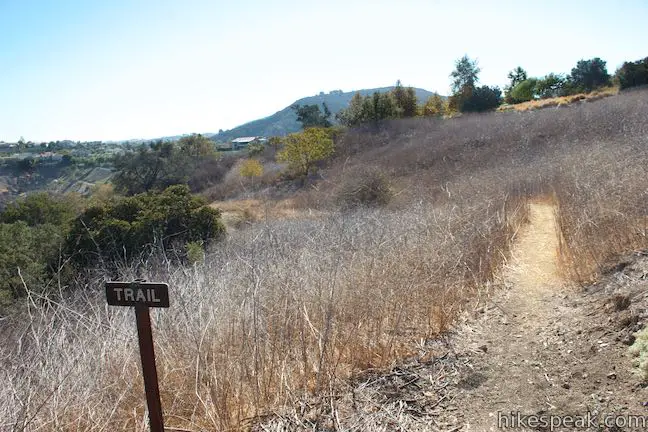
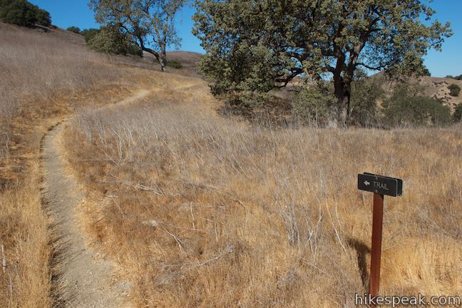
Venture south up the single-track trail, which goes gradually uphill across a grassland that slopes from right to left. Pass a solitary oak and make your way up to a second confusingly-marked junction, 0.2 miles from the start. At this split in the trail, one branch drops to the left toward trees gathered in the drainage below. This is New Millennium Loop Trail. Bear right instead and proceed up Anza Loop Trail.
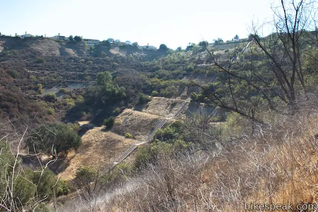
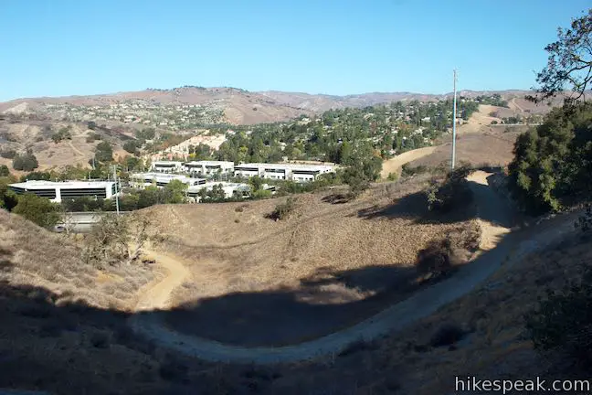
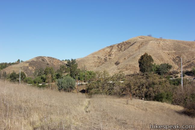
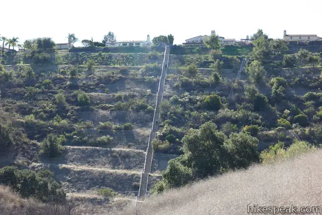
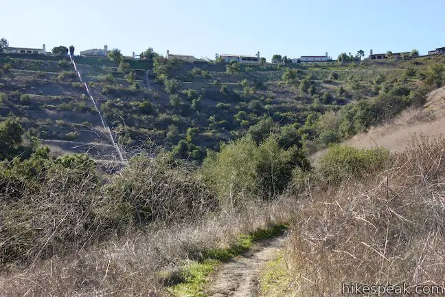
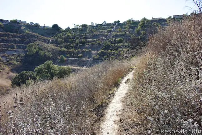
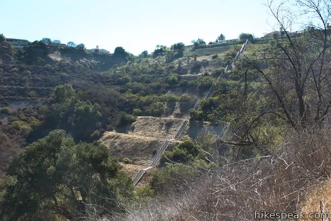
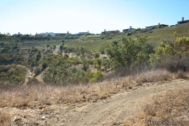
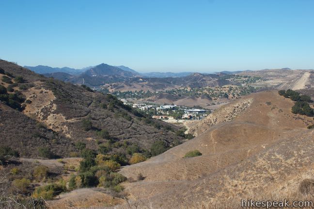
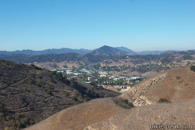
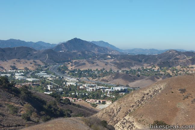
The trail weaves through creases in the grassy ridges, offering perspectives back toward the 101 Freeway and the hills beyond. Ahead of you, a long, concrete staircase comes into view, cutting down the center of a manicured bowl that is topped by a row of houses in a neighborhood above. These Calabasas Stairs are a target for those looking for outdoor workouts.
Wrap around a depression in the terrain and ascend a slope to the right of the staircase. Come to an unmarked split, half a mile from Calabasas Road, where a path on the left drops to the base of the Calabasas Stairs. If you feel like interrupting your hike with a stair workout, by all means turn left. (Going down the path to the bottom of the stairs, up to the top of the stairs, back down the steps, and back up to Anza Loop Trail adds 0.4 miles to this hike.) If you’re not compelled to visit the long concrete steps, tackle that elevation on a dirt trail instead and stay to the right up Anza Loop Trail.
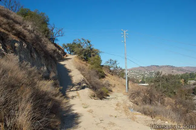
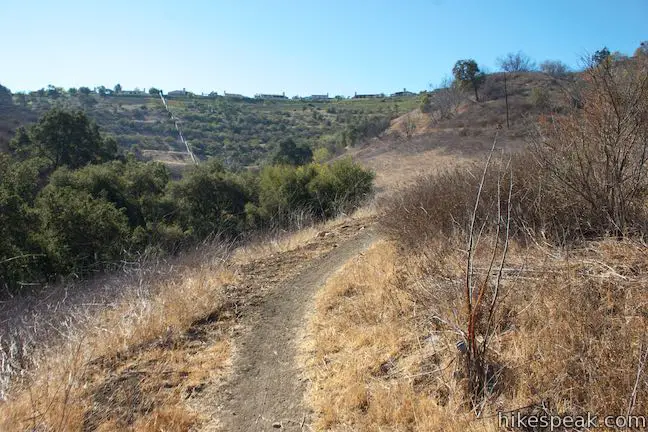
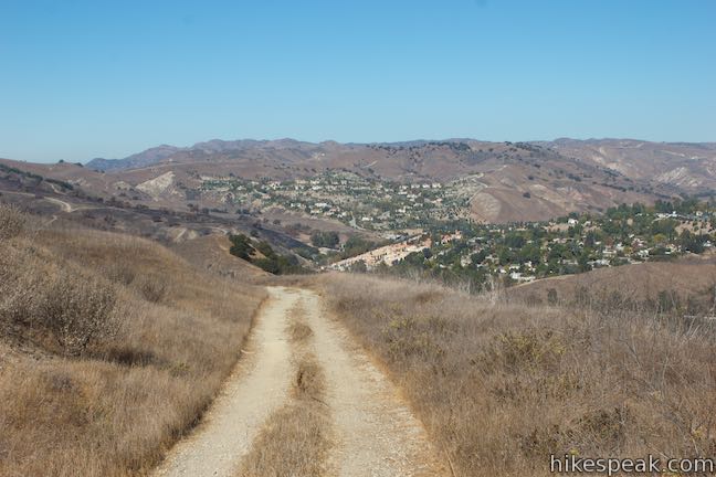
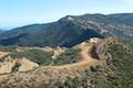
Another 250 feet up the trail, a sharp switchback to the right leads away from views of the Calabasas Stairs. Continue through several more switchbacks on the longest ascent of the hike. As the views expand, look northeast toward the Simi Hills, Santa Susana Mountains and the west end of the San Fernando Valley. When the trail levels out, 2.45 miles from the start, go across a ridge, passing a trail on the left that rises to the end of a road in the neighborhood above.
Drop across a small, pleasant ravine, briefly losing sight of the neighborhood before rising to a service road on the edge of the development. Bear right on this paved road. Fortunately, the pavement ends after 100 yards. When it does, continue straight onto a wide unpaved trail. Now 2.75 miles of the hike are behind you. In another eighth of a mile, you’ll stray from the neighborhood and be welcomed into wild, grassy hills.
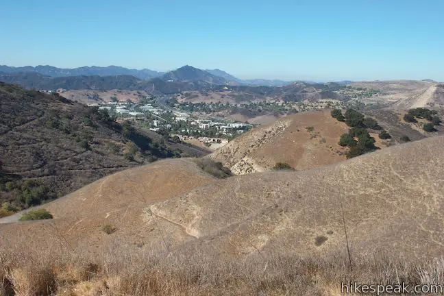
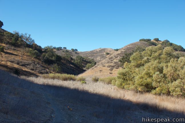
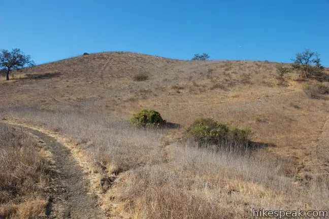
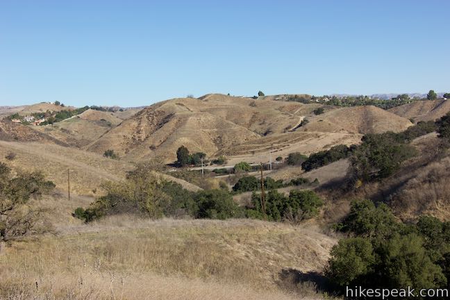
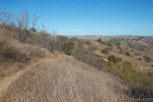
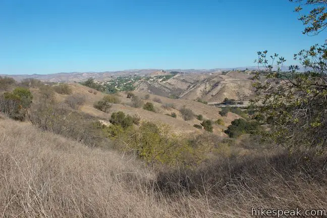
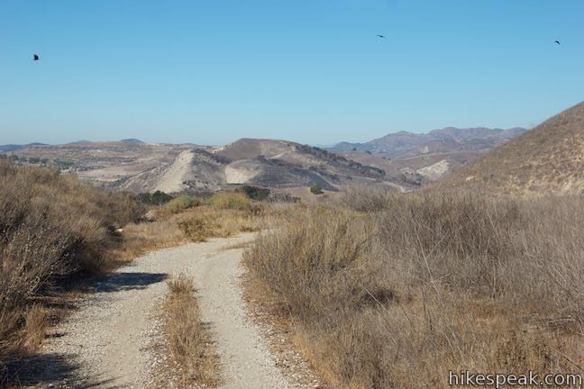
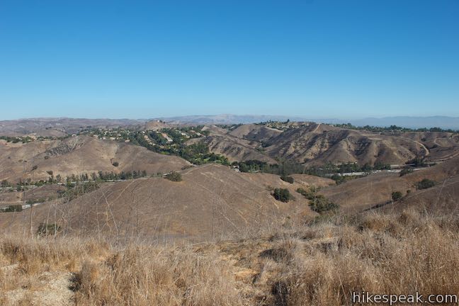
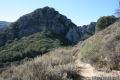
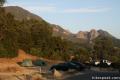
Traveling away from the housing development, the trail remains level for a stretch, offering some big views from the highest parts of the loop at over 1,300 feet of elevation. To reward the completion of the first 3 miles of the hike, enjoy excellent perspectives west toward Ladyface Peak and other members of the Santa Monica Mountains. The community of Lost Hills is cradled below.
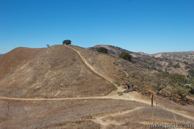
Tipping downhill, the trail makes its way around a grassy ridge. Come to a marked junction where a single track parts to the left. Stay to the right down the wide trail. In another 0.15 miles, come around a bend to the left with another marked junction. This time turn right up the single-track trail, leaving the wider trail.
Pass between a few oaks to ease across a ridge. As the trail plunges down the other side, the views open up looking out over the grassy ridges where the hike began. Drop through some tight switchbacks to meet the wide trail. Having hiked the full loop, bear left to make your way back to Juan Buatista de Anza West Trailhead to complete the 4.5-mile hike.
The turn-by-turn directions for Anza Loop Trail from Juan Bautista de Anza West Trailhead are:
- Hike east from the trailhead off Las Virgenes Road (0 miles)
- Stay to the left at the start of the loop (0.3 miles)
- Stay to the right as another dirt road joins the trail (0.4 miles)
- As the wide trail twists to the left, hike straight onto a single-track trail (0.5 miles)
- Down the slope, bear right as the trails reunite (0.52 miles)
- Pass a panel describing Anza’s expedition (0.62 miles)
- Go around a draw in the terrain, come up to a jeep road, and turn right (1 mile)
- Pass another plaque for Anza’s camping location (1.4 miles)
- Reach Juan Bautista de Anza East Trailhead and walk up Calabasas Road (1.45 miles)
- Turn right off Calabasas Road onto a paved trail (1.55 miles)
- Cross a dip, rise to the end of the pavement, and turn right up a single track (1.6 miles)
- Come to a marked split and bear right (1.75 miles)
- Pass a path on the left descending to the Calabasas Stairs (2.05 miles)
- Stay to the right past a neighborhood connector trail (2.45 miles)
- Rise to a paved road and bear right (2.7 miles)
- Cross the end of the pavement and proceed onto a wide trail (2.75 miles)
- Stay to the right down the wide trail (3.65 miles)
- Leave the wide trail and turn right up a single-track trail (3.8 miles)
- Come down to the initial wide trail, close the loop, and turn left (4.2 miles)
- Return to Juan Buatista de Anza West Trailhead (4.5 miles)
Anza Loop Trail from Calabasas Road
For the shorter version of this hike, start from Juan Bautista de Anza East Trailhead on Calabasas Road. Walk up from the end of the road to find the southbound start of the loop. Hike past the Calabasas Stairs and the neighborhood above. Then explore the grassy ridges on the west side of the loop. After putting in 2.65 miles of hiking, hit the junction near Juan Bautista de Anza West Trailhead. At that point, just turn right (away from the bench) and follow Anza Loop Trail for 1.15 miles back to Calabasas Road.
The turn-by-turn directions for Anza Loop Trail from Juan Bautista de Anza East Trailhead are:
- Start near the end of Calabasas Road, by mile marker 0.06, and take the paved trail south across a dip (0 miles)
- When the pavement rises to the left and comes to an end, turn right up a single-track trail (0.05 miles)
- Come to a marked split and bear right (0.2 miles)
- Pass a path on the left descending to the Calabasas Stairs (0.5 miles)
- Stay to the right past a neighborhood connector trail (0.9 miles)
- Rise to a paved road and bear right (1.15 miles)
- Cross the end of the pavement and proceed onto a wide trail (1.2 miles)
- Enjoy views of Ladyface Peak and stay to the right down the wide trail (2.1 miles)
- Leave the wide trail and turn right up a single-track trail (2.25 miles)
- Come down to a wide trail and turn right, away from Juan Buatista de Anza West Trailhead (2.65 miles)
- Stay to the right as a wide road joins the trail (2.75 miles)
- As the wide trail twists to the left, hike straight onto a single-track trail (2.95 miles)
- Down the slope, bear right as the trails reunite (2.97 miles)
- Pass a panel describing Anza’s expedition (3.07 miles)
- Go around a draw in the terrain, come up to a jeep road, and turn right (3.35 miles)
- Pass another plaque for Anza’s camping location (3.75 miles)
- Reach Juan Bautista de Anza East Trailhead at the end of Calabasas Road, about a tenth of a mile down from the start of the loop (3.8 miles)
Anza Loop Trail is dog-friendly, but bikes are not allowed. Parts of Anza Loop Trail overlap the longer New Millennium Loop Trail. No permit is required for this hike in Santa Monica Mountains Conservancy Zone Parkland. Parking at both trailheads is free, so get out and enjoy!
Woolsey Fire Update (December 2018): Areas of Anza Loop Trail were burned by the November 2018 Woolsey Fire, with damage visible from the 101 Freeway. Las Virgenes View Park has reopened. Check the MRCA website for current visitor information for this parkland, managed by the Mountains Recreation and Conservation Authority.
To get to Juan Bautista de Anza East Trailhead: From Los Angeles and the San Fernando Valley, go west on the 101 Freeway North to exit 30 for Calabasas Parkway. At the end of the offramp, bear left onto Ventura Boulevard. Make an immediate left onto Parkway Calabasas. Cross over the freeway and turn right on Calabasas Road. Drive 1.5 miles down this road to the trailhead on the left, just before the end of the road. Halfway down Calabasas Road, you’ll need to bear left past Mureau Road to stay committed to Calabasas Road.
Coming from the Conejo Valley, go east on the 101 Freeway South to exit 30 for Calabasas Parkway. Bear left at the end of the offramp onto Calabasas Road. Drive 1.2 miles west on Calabasas Road to the trailhead.
2021 update: Readers report that new parking restrictions may be posted on Calabasas Road.
Trailhead address: Calabasas Road, Calabasas, CA 91302
Trailhead coordinates: 34.1499, -118.6769 (34° 08′ 59.6″N 118° 40′ 36.8″W)
Directions to the Trailhead
Juan Bautista de Anza West Trailhead:
- From the San Fernando Valley, travel west on the 101 Freeway North to exit 32 for Las Virgenes Road.
- At the end of the offramp, turn left and cross over the freeway, heading south.
- Drive a quarter mile to the first intersection, which has a traffic light.
- Turn left up a paved road in front of the Mobile gas station.
- Some parking is available here.
- The pavement ends after less than a tenth of a mile as the road splits.
- Turn right up the dirt road that leads east, away from Las Virgenes Road.
- Drive up to the trailhead where additional parking is available.
- Coming from the Conejo Valley, travel east on the 101 Freeway South to exit 32 for Las Virgenes Road.
- At the end of the offramp, drive straight across Las Virgenes Road up a paved trail to the left of the gas station.
- When the pavement ends, bear right at the split to go east up a short dirt road to the trailhead.
Taking mass transit?
- A bus stop used by LA Metro Bus 161 and LADOT Transit Commuter Express 423 is located on the west side of Las Virgenes Road right next to the trailhead.
- It doesn't get much more convenient than that!.
Trailhead Location
Trailhead address: Juan Bautista de Anza West Trailhead, 4813 Las Virgenes Road, Calabasas, CA 91302
Trailhead coordinates: 34.14655, -118.6963 (34° 08′ 47.6″N 118° 41′ 46.7″W)
View Santa Monica Mountains in a larger map
Or view a regional map of surrounding Los Angeles trails and campgrounds.


 | Calabasas Stairs This hike to a long flight of stairs off Anza Loop Trail is 1.4 miles round trip (add 0.2 miles for each extra trip up and down the steps). |
 | Heartbreak Hill Trail This 2.1-mile round trip hike offers a condensed workout, shooting up a ridge to a panoramic crest above Agoura Hills in the Santa Monica Mountains. |
 | Calabasas Peak via Calabasas - Cold Creek Trail This 4.5-mile round trip hike starts up a scenic single track formerly know as the Secret Trail and ascends 750 feet to the summit of Calabasas Peak. |
 | Calabasas Peak from Old Topanga Canyon Road This 4.2-mile hike on Calabasas Peak Motorway approaches Calabasas Peak from the northeast, providing big views over Topanga and other parts of the Santa Monica Mountains. |
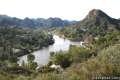
 | Grassland Trail to Crags Road and Rock Pool This easy 3-mile hike enters Malibu Creek State Park on South Grassland Trail, then forms a loop around Crags Road to visit Rock Pool, a popular park retreat. |
 | M*A*S*H Set This hike visits the site where the exteriors of the television show MASH were filmed, a 4.75-mile trek from the park entrance. |
 | Talepop Loop This 4.75-mile hike climbs 500 feet over a scenic mountain between Liberty Canyon and Las Virgenes Canyon. |
 | Phantom Trail This 4.8-mile round trip hike crosses a panoramic ridge on the north side of Malibu Creek State Park. |
 | Cistern, Lookout, and Cage Creek Trails This team of single tracks make a scenic descent to Century Lake in Malibu Creek State Park, providing a short loop or longer hikes to other destinations. |
 | Lake Vista Trail This 4.1-mile hike beginning from Cistern Trail crosses the west end of Malibu Creek State Park and climbs to a scenic view over Malibu Lake. |
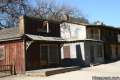 | Paramount Ranch This segment of the Santa Monica Mountains National Recreation Area includes Western Town, an outdoor set cast as frontier towns in TV and film since the 1950s. There are also several miles of hiking trails to explore. |
 | More trails in the Santa Monica Mountains Explore other destinations in the range. |
 | Malibu Creek State Park The year-round campground has 63 sites with picnic tables, fire rings, flush toilets, coin showers, and a dump station. |
Common Questions about Anza Loop Trail in the Santa Monica Mountains
- Is the trail open?
- Yes. You should expect to find that Anza Loop Trail is open. There are no recent reports of trail closures. If you discover that the trail is closed, please help your fellow hikers by reporting a closure.
- Is this trail free to access?
- Yes, Anza Loop Trail is free to access. No entrance fee, pass, or permit is required. If you discover that access rules have changed, please provide feedback on your experience.
- How much time does this hike take?
- It takes approximately 2 hours 15 minutes to hike Anza Loop Trail. Individual hiking times vary. Add extra time for breaks and taking in the views.
- How long is this hike?
- The hike to Anza Loop Trail is a 4.5 mile loop with 535 feet of elevation change.
- Are dogs allowed on this trail?
- Yes, dogs are allowed on Anza Loop Trail. The trail is open to hikers, dogs.
- What mountain range is this trail in?
- Anza Loop Trail is located in the Santa Monica Mountains.
- Where is the trailhead located?
- The trailhead for Anza Loop Trail is located in Calabasas, CA.
Trailhead Address:
4813 Las Virgenes Road
Calabasas, CA 91302
Trailhead Coordinates:
34.14655, -118.6963 - What are the driving directions to the start of the hike?
To get to the trailhead: Juan Bautista de Anza West Trailhead: From the San Fernando Valley, travel west on the 101 Freeway North to exit 32 for Las Virgenes Road. At the end of the offramp, turn left and cross over the freeway, heading south. Drive a quarter mile to the first intersection, which has a traffic light. Turn left up a paved road in front of the Mobile gas station. Some parking is available here. The pavement ends after less than a tenth of a mile as the road splits. Turn right up the dirt road that leads east, away from Las Virgenes Road. Drive up to the trailhead where additional parking is available.
Coming from the Conejo Valley, travel east on the 101 Freeway South to exit 32 for Las Virgenes Road. At the end of the offramp, drive straight across Las Virgenes Road up a paved trail to the left of the gas station. When the pavement ends, bear right at the split to go east up a short dirt road to the trailhead.
Taking mass transit? A bus stop used by LA Metro Bus 161 and LADOT Transit Commuter Express 423 is located on the west side of Las Virgenes Road right next to the trailhead. It doesn't get much more convenient than that!
View custom Google Maps directions from your current location.
- Are there other trails near Anza Loop Trail?
- Yes, you can find other nearby hikes using the Hikespeak Hike Finder Map.

Go the extra miles...
Submit a rating of this hike to go with your comment. Contribute to the average trail rating.