Phantom Trail
in Malibu Creek State Park

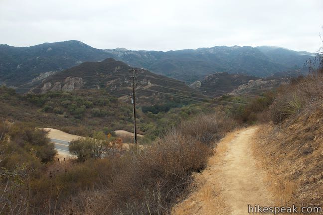
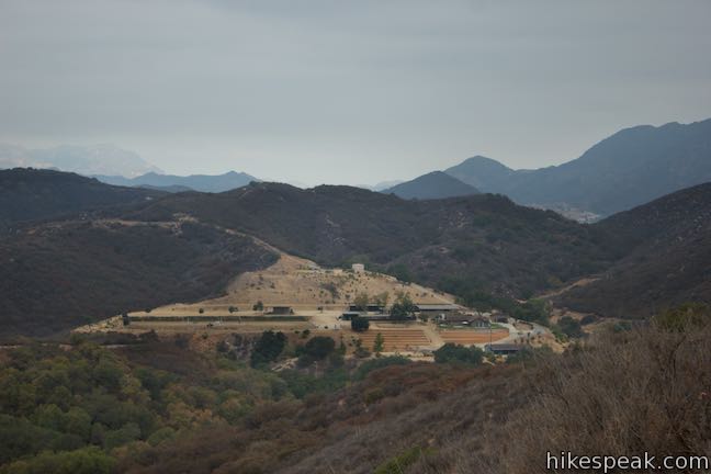
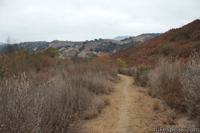
The beautiful Santa Monica Mountains can be a busy place to hike. One trail you can take to feel like a ghost (not see any other hikers) is Phantom Trail. Located on the north side of Malibu Creek State Park, this scarcely visited single track is not as popular as neighboring trails, but you’ll be dumbfounded as to why when Phantom Trail provides early panoramas over the rest of the picturesque park.
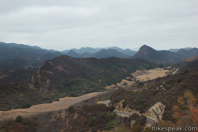
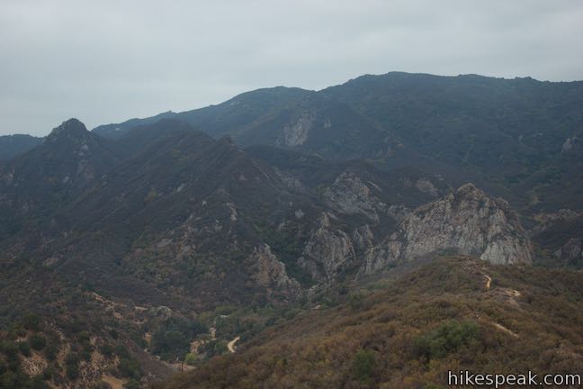
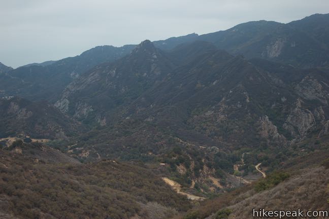
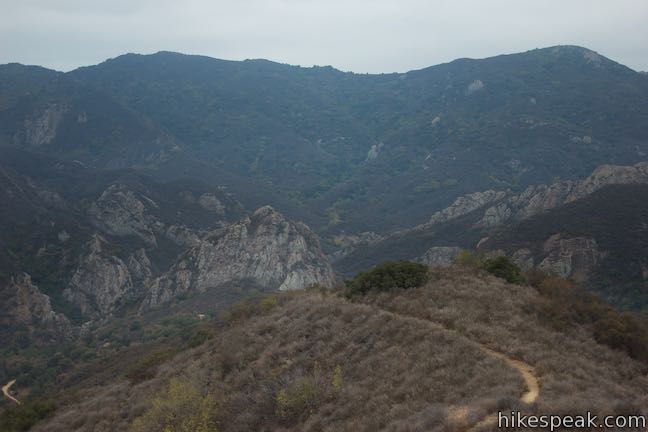
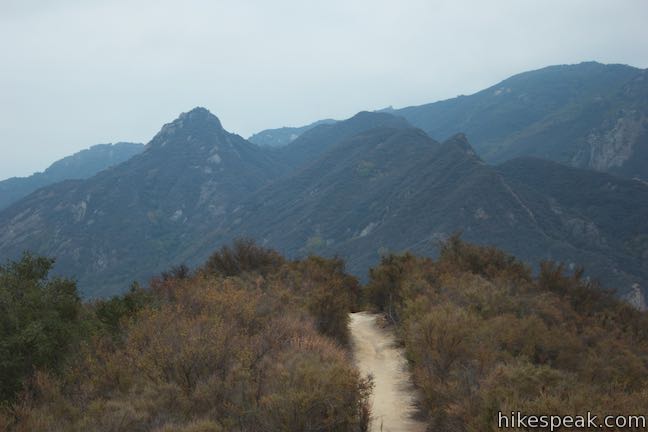
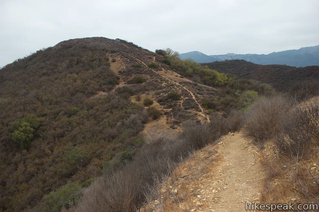
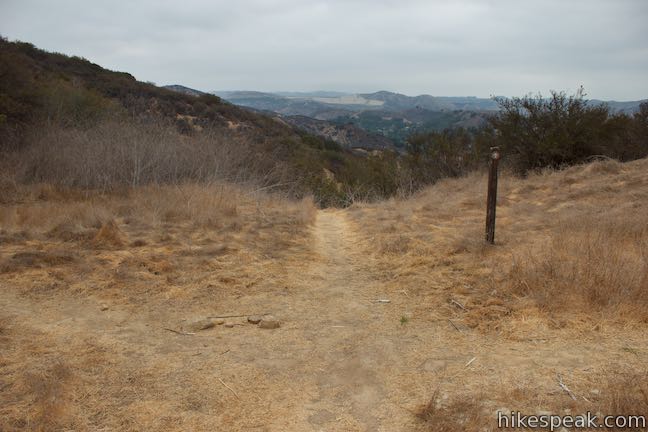
Phantom Trail leaves Mulholland Highway and ascends a ridge with dramatic views of Malibu Creek State Park’s famous rock formation, the Goat Buttes, as well as a full sweep of surrounding peaks. The trail follows a ridge before dropping to Liberty Canyon Fire Road after 2.4 miles.
The full distance for this hike on Phantom Trail is 4.8 miles round trip with 725 feet of elevation between its high and low points. This is made up of a 450-foot ascent and a 725-foot decent on the way out and a 725-foot ascent and 450-descent on the hike back. In total, the trek could be viewed as having 1,175 feet of elevation gain. If this double-up, double-down itinerary doesn’t appeal to you, simply turn around early for a roughly 1.5-mile trek with 450 feet of elevation change that still delivers the hike’s greatest views.
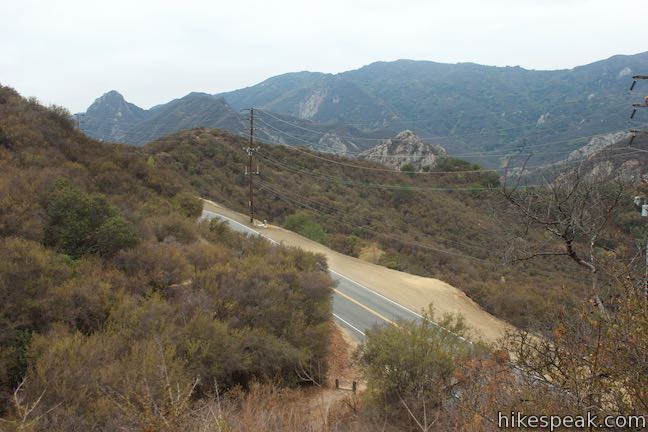
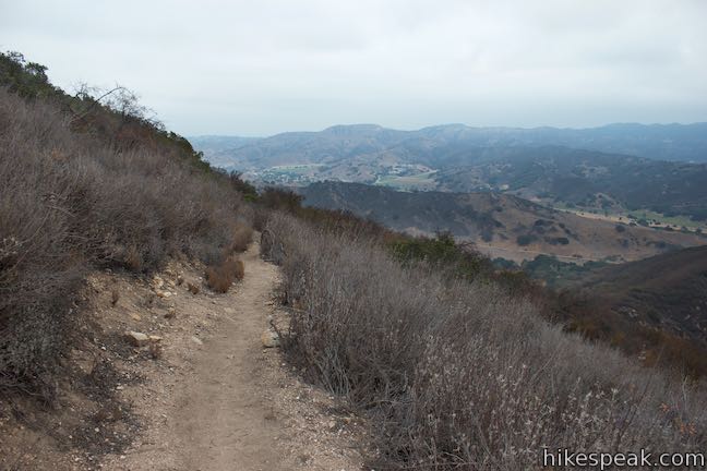
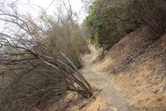
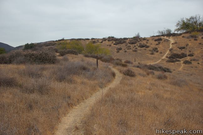
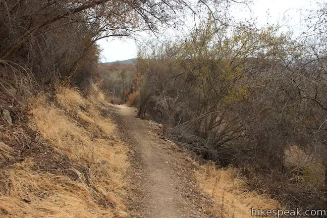
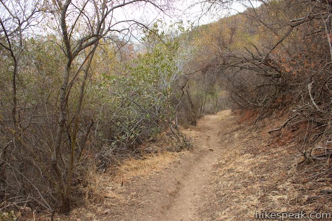
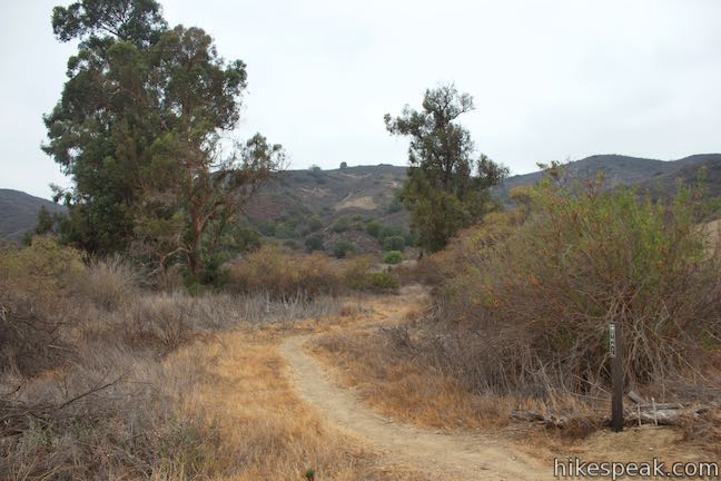
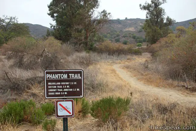
One reason Phantom Trail gets a small draw is that the trailhead is hard to spot. The not-so-flashy trailhead is located on the north side of Mulholland Highway, 125 yards from the start of Cistern Trail. A pair of small markers make the trail easy enough to locate if you are looking (but even easier to drive right past if you aren’t). Begin up Phantom Trail, which twists and turns up early switchbacks to mount the ridge.
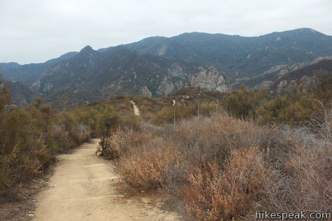
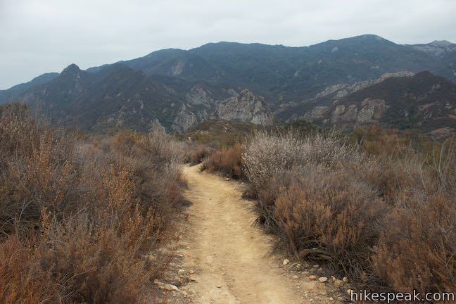
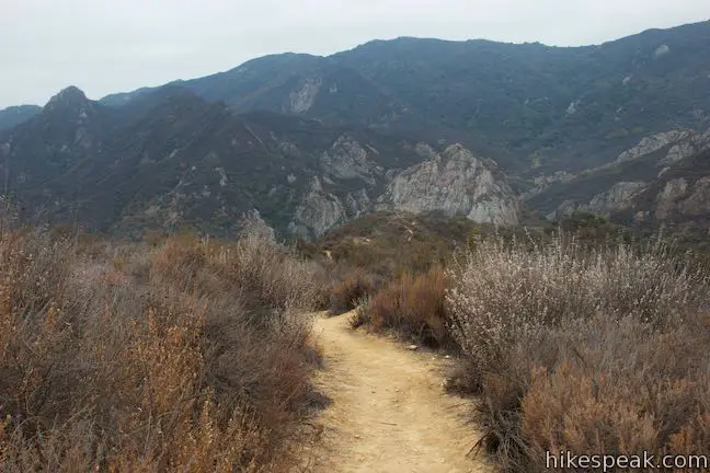
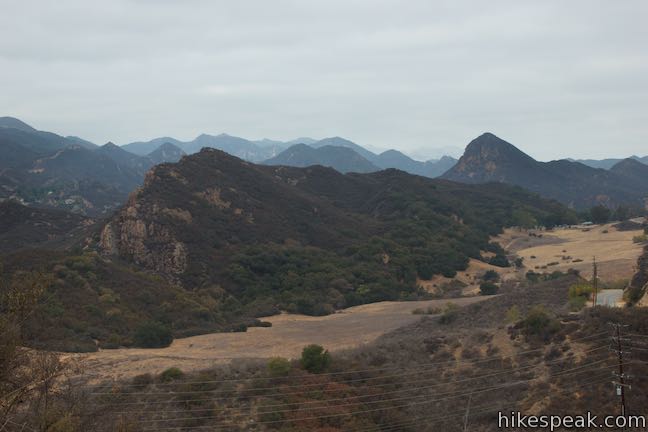
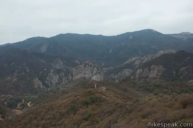
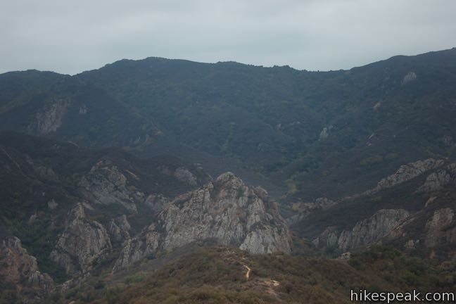
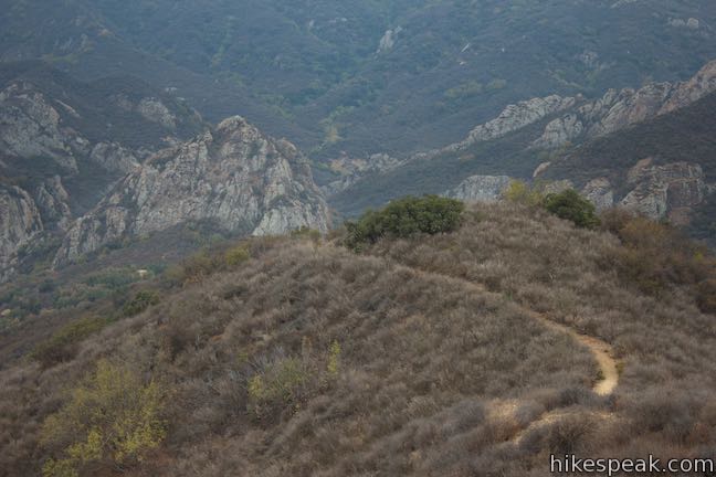
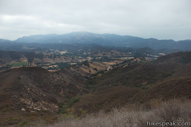
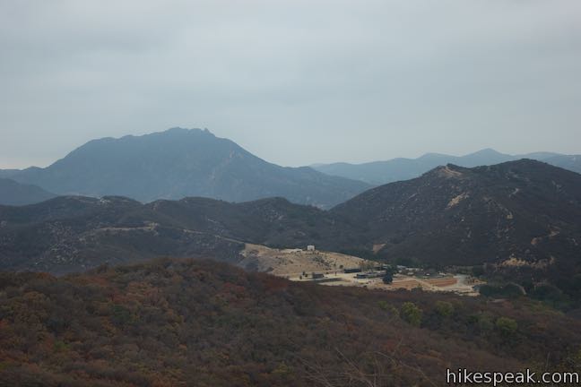
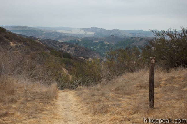
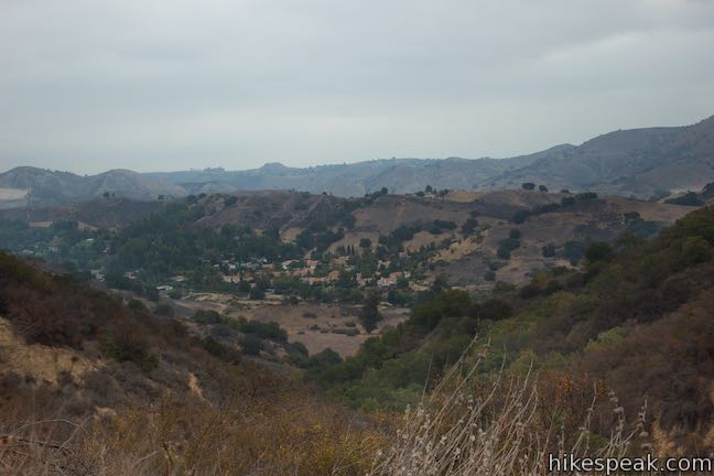
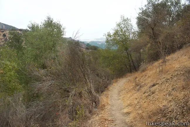
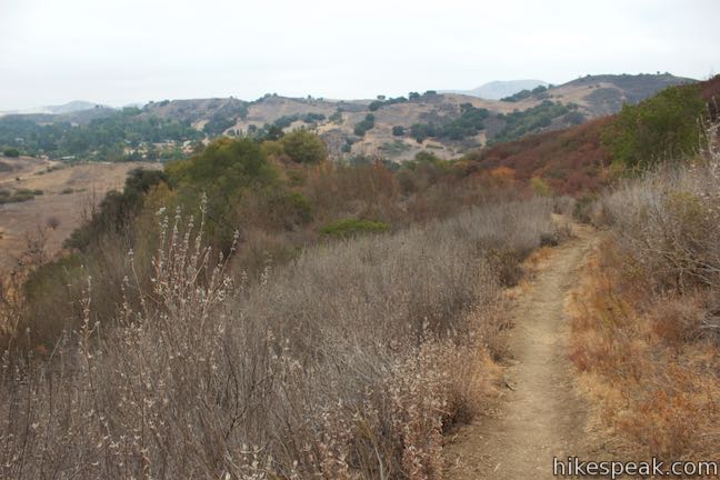
After a quarter mile, Phantom Trail comes into alignment with Cistern Trail, which goes down a shorter ridge to the south. Phantom Trail curves to the left and heads up the ridge in the opposite direction. Over the next half-mile, the best views will be behind you (a bonus for the hike down). Look over your shoulder to see the Goat Buttes, a rise of awe-inspiring rock formations at the heart of Malibu Creek State Park. An imposing 2,000-foot tall ridge of higher mountains, including Castro Peak and McAuley Peak, form a wall behind the Goat Buttes.
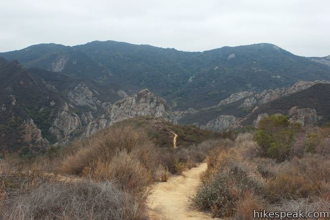
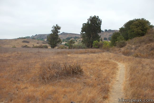
To the southwest, a meadow (that is crossed by Yearling Trail) is backed by an uplifted ridge that takes on the shape of a wave from this perspective. Sugarloaf Peak rises to a dramatic point just beyond the edge of this ridge.
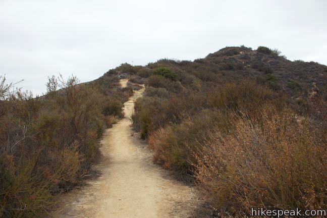
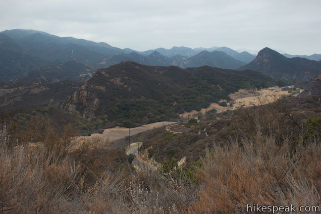
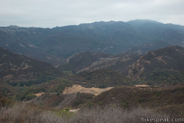
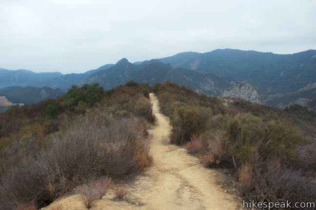
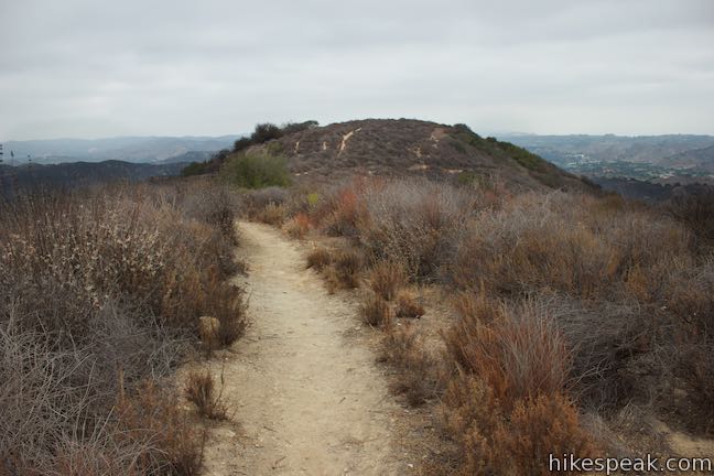
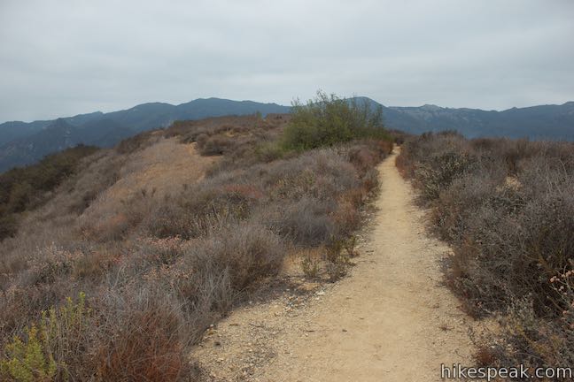
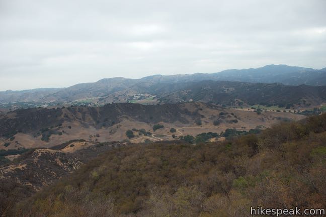
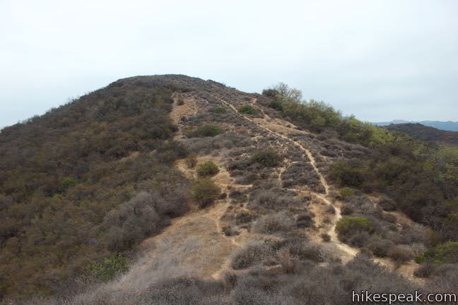
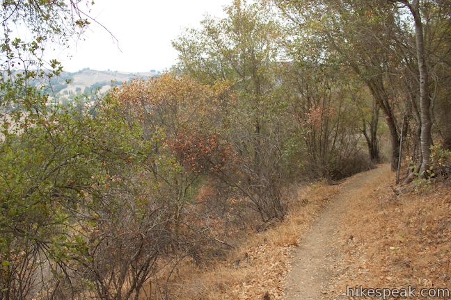
Push up Phantom Trail across the bumpy spine of a ridge draped in sagebrush. To your right, views extend across Liberty Canyon and the short ridge explored by Talepop Loop. Saddle Peak rises to the southeast and there are other mountains in any direction you look.
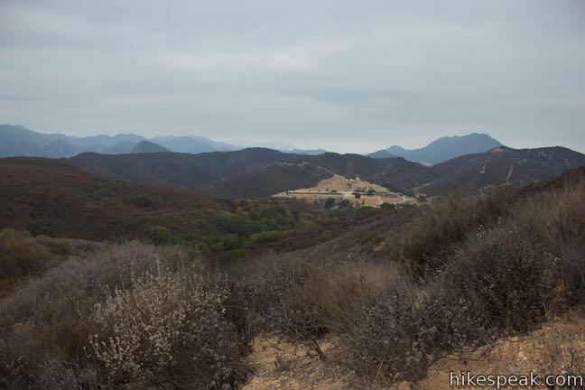
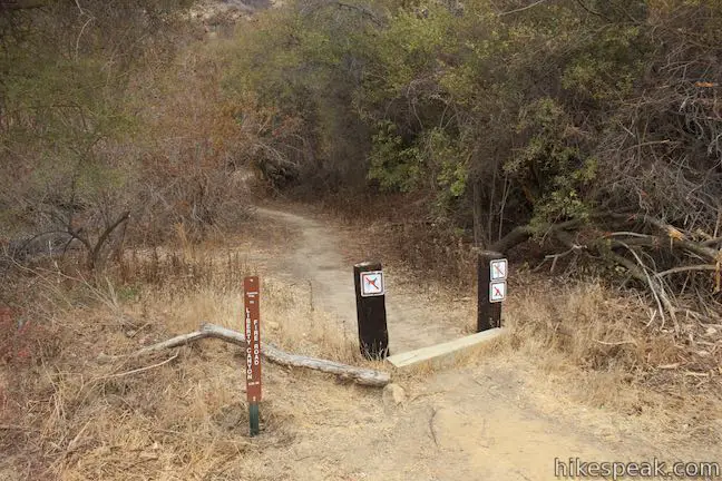
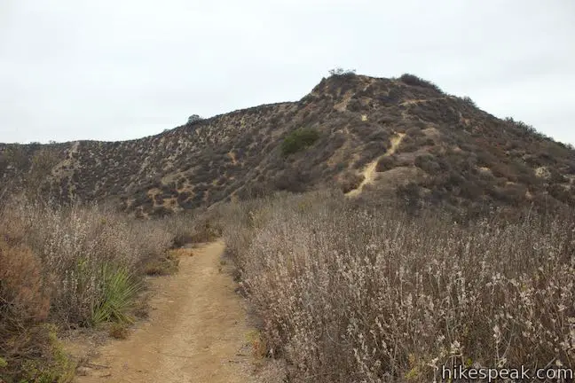
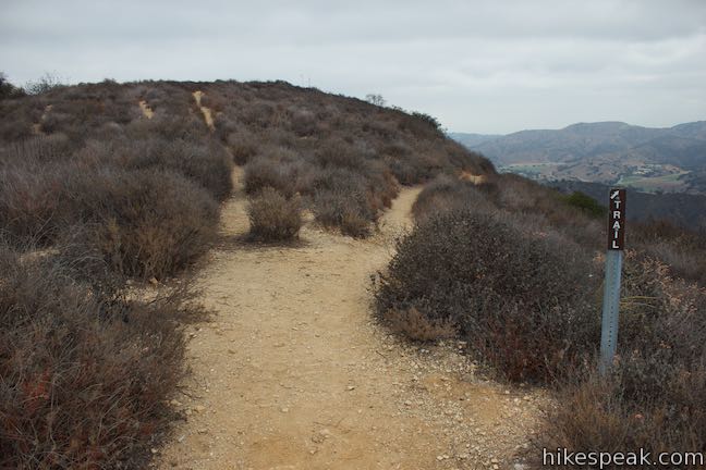
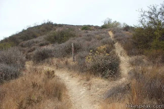
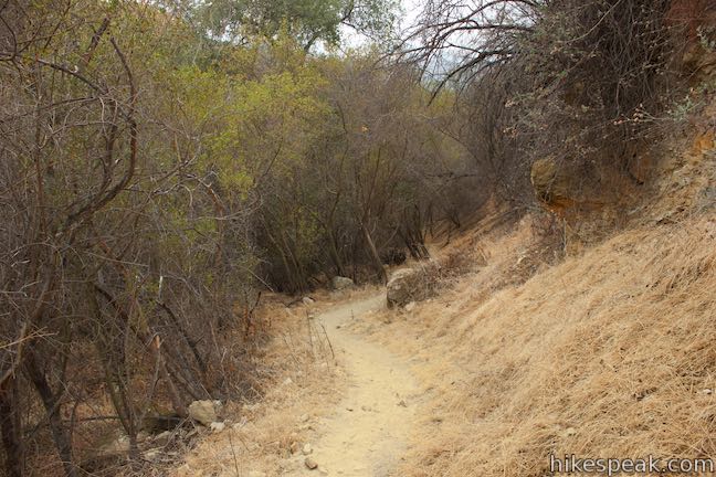
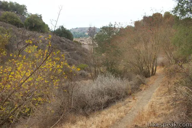
After 0.7 miles and a 430-foot ascent, the trail passes a geological survey marker. From here, the trail levels out and leaves behind the over-the-shoulder views of Malibu Creek State Park. Cross a dip in the ridge and come to a marked split with a ridgeline firebreak. This is the first of a few instances where Phantom Trail strays from the top of the ridge, avoiding crests that are crossed by a firebreak path. Bear right at the first marked split to continue on Phantom Trail.
- For a bit of extra exercise, you could add a variation to this trek by hiking back across the firebreak instead of following the trail
- Those who want a shorter hike with less elevation change can turn around before the firebreak split
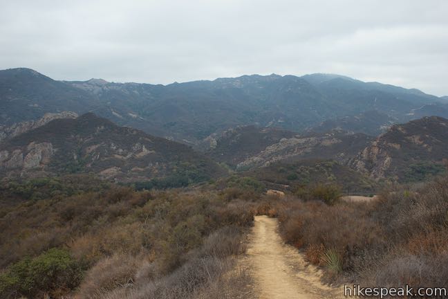
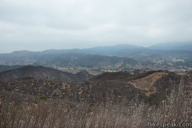
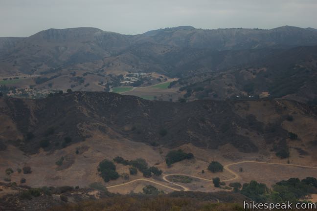
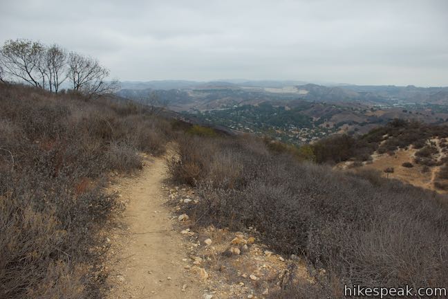
Pass along the east side of the ridge, exploring more views over Liberty Canyon in Agoura Hills. When Phantom Trail and the firebreak path briefly reconnect, make two slight right turns to proceed on Phantom Trail along the east side of the ridge.
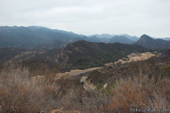
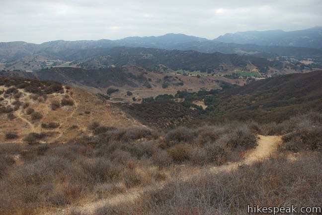
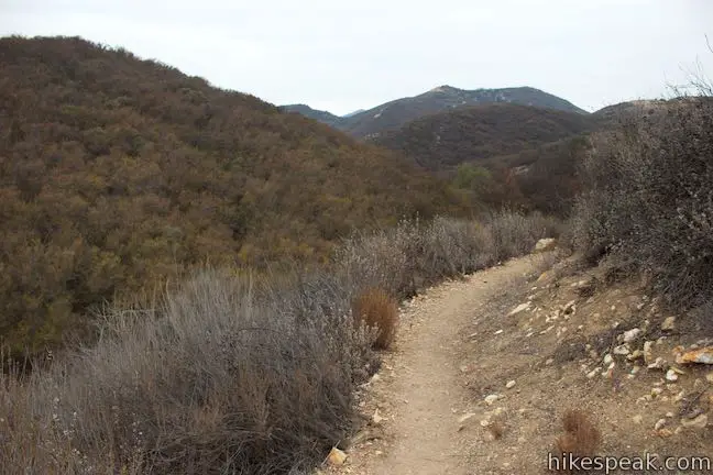
After Phantom Trail comes back to a ridge saddle and is rejoined by the firebreak path, you will do something different this time. At 1 1/3 miles from the start, the trail turns left and drops off the west side of the ridge. Over the next quarter mile, the trail descends across a side canyon draped in chaparral. Views straight ahead feature a ranch that is backed by Ladyface Peak.
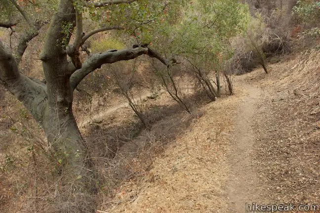
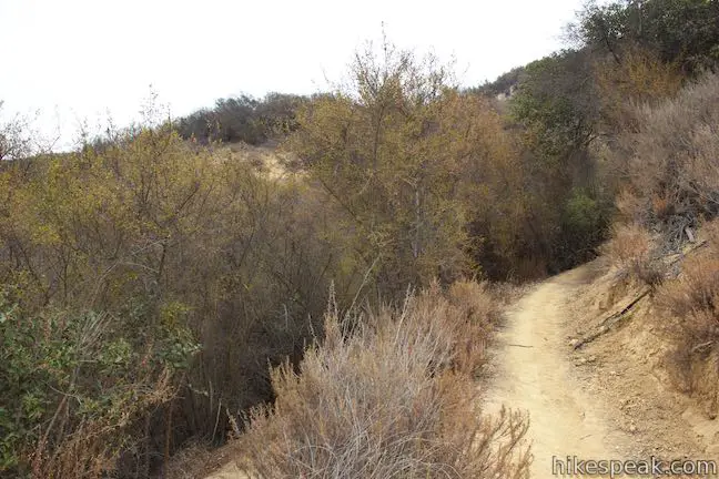
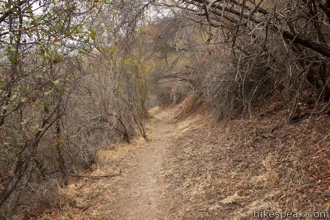
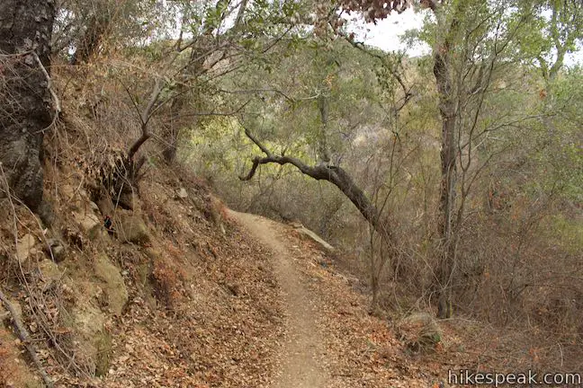
Phantom Trail swings up to a saddle on the ridgeline at an intersection with the firebreak path. To the left, Liberty Ridge Trail (also known as Heartbreak Ridge Trail) extends north toward Heartbreak Hill Trail. Proceed straight through this junction to hike the final 0.8 junction-free miles on Phantom Trail down to Liberty Canyon Fire Road. This last third of the trail is different from the previous, ditching big views for a more intimate experience passing through oaks and tall brush in a wooded canyon.
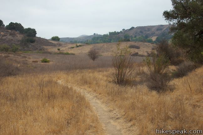
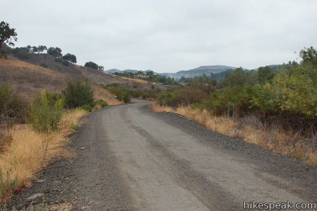
As you descend off the ridge, the trail tapers out and crosses a grassy meadow. Phantom Trail comes to an end when it meets Liberty Canyon Fire Road, an unpaved extension off Liberty Canyon Road.
A sign here puts the distance back to Mulholland Drive at 2.8 miles. The sign at Mulholland Drive gave a distance of 2.25 miles to Liberty Canyon Fire Road. Although it might feel longer hiking back… Phantom Trail is 2.4 miles long in both directions.
Extension Opportunity: For those who feel compelled to lengthen and loop-ify this hike, it is possible to convert Phantom Trail into a roughly 7.5-mile circuit. Walk north up the road at the end of Phantom Trail to quickly reach a connector trail heading east to a longer trail off the end of Liberty Canyon Road (also called Liberty Canyon Fire Road). Follow this trail south, passing Talepop Loop to join North Grassland Trail. Crossing Mulholland Highway, hikers can follow South Grassland Trail to Crags Road and High Road. Travel west and then ascend Lookout Trail and Cistern Trail to return to Mulholland Highway near the start of Phantom Trail. For those attempting this Phantom Trail Loop, it is probably best to hike in the opposite direction so that you can travel downhill on Phantom Trail and Cistern Trail for head-on views of the Goat Buttes.
The basic directions for Phantom Trail are:
- Begin up Phantom Trail from Mulholland Highway (0.0 miles)
- Pass a geological survey marker (0.7 miles)
- Bear right at the first firebreak split (0.85 miles)
- Stay to the right as the firebreak rejoins the trail (1.08 miles)
- Bear right again at another firebreak departure (1.1 miles)
- Stay to the right again as the firebreak merges back with the trail (1.32 miles)
- Make an immediate left turn to follow the trail off the ridge (1.33 miles)
- Go straight through a junction across a saddle on the ridge (1.6 miles)
- Come to the end of Phantom Trail on Liberty Canyon Fire Road and turn around (2.4 miles)
- Go straight through the junction over the ridge saddle (3.2 miles)
- Come up on the ridge again and bear right (3.47 miles)
- Make an immediate left to part with the firebreak (3.48 miles)
- Stay to the left when the firebreak rejoins the trail (3.7 miles)
- Turn left to stay on Phantom Trail through the last firebreak split (3.72 miles)
- Stay to the left as the firebreak rejoins Phantom Trail (3.95 miles)
- Return to the trailhead on Mulholland Highway (4.8 miles)
Dogs and bikes are not allowed on Phantom Trail. No permit is needed to enjoy this hike in Malibu Creek State Park. Parking at the trailhead is free, so get out and enjoy!
Woolsey Fire Update: Phantom Trail and most of Malibu Creek State Park have reopened following the November 2018 Woolsey Fire, which caused major damage to the park. Check the Malibu Creek State Park page for more information.
Directions to the Trailhead
- Take Las Virgenes/Malibu Canyon Road to the intersection with Mulholland Highway, 6.3 miles from the coast and 3.3 miles from the 101 Freeway in Lost Hills.
- Head west on Mulholland Highway for 1.8 miles to the marked start of Phantom Trail.
- Park in the turnout off the south side of the road across from the trailhead.
- Coming from the other direction, the trailhead for Phantom Trail is 1.3 miles from Cornell Road on Mulholland Highway.
Trailhead Location
Trailhead address: 27839 Mulholland Highway, Agoura Hills, CA 91301
Trailhead coordinates: 34.10625, -118.7323 (34° 06′ 22.5″N 118° 43′ 56.3″W)
View Santa Monica Mountains in a larger map
Or view a regional map of surrounding Los Angeles trails and campgrounds.


 | Cistern, Lookout, and Cage Creek Trails This team of single tracks make a scenic descent to Century Lake in Malibu Creek State Park, providing a short loop or longer hikes to other destinations. |
 | Lake Vista Trail This 4.1-mile hike beginning from Cistern Trail crosses the west end of Malibu Creek State Park and climbs to a scenic view over Malibu Lake. |
 | Grassland Trail to Crags Road and Rock Pool This easy 3-mile hike enters Malibu Creek State Park on South Grassland Trail, then forms a loop around Crags Road to visit Rock Pool, a popular park retreat. |
 | M*A*S*H Set This hike visits the site where the exteriors of the television show MASH were filmed, a 4.75-mile trek from the park entrance. |
 | Lost Cabin Trail This 1.5-mile round trip extension to the MASH set hike dead-ends in a mountain canyon at the site of a now nonexistent cabin. |
 | Talepop Loop This 4.75-mile hike climbs 500 feet over a scenic mountain between Liberty Canyon and Las Virgenes Canyon. |
 | Malibu Creek Traverse This adventure hike explores the C-shaped gorge between Rock Pool and Century Lake in Malibu Creek State Park. |
 | Paramount Ranch This segment of the Santa Monica Mountains National Recreation Area includes Western Town, an outdoor set cast as frontier towns in TV and film since the 1950s. There are also several miles of hiking trails to explore. |
 | Heartbreak Hill Trail This 2.1-mile round trip hike offers a condensed workout, shooting up a ridge to a panoramic crest above Agoura Hills in the Santa Monica Mountains. |
 | Mesa Peak from Corral Canyon Road This 6.5-mile hike travels along a ridge adorned with sandstone outcroppings to approach a peak with ocean views over Malibu. Shorten the outing to 5.35 miles round trip by stopping at a crest above Mesa Peak with a prominent boulder. |
 | Mesa Peak from Malibu Canyon Road (Piuma Trailhead) This 6.5-mile round trip hike ascends 1,375 feet up the Backbone Trail from Malibu Creek State Park to a subtle summit with substantial ocean views. |
 | More trails in the Santa Monica Mountains Explore other destinations in the range. |
 | Malibu Creek State Park The year-round campground has 63 sites with picnic tables, fire rings, flush toilets, coin showers, and a dump station. |
- Phantom Trail on trails.lacounty.gov (opens in a new tab)
- Phantom Trail Loop in Local Multi-Use Trails by Kelly Murphy (opens in a new tab)
- Phantom Trail on alltrails.com (opens in a new tab)
- Malibu Creek State Park trails on venturacountytrails.com (opens in a new tab)
- Malibu Creek State Park on summitpost.org (opens in a new tab)
- The official website for Malibu Creek State Park (opens in a new tab)
Common Questions about Phantom Trail in Malibu Creek State Park
- Is the trail open?
- Yes. You should expect to find that Phantom Trail is open. There are no recent reports of trail closures. If you discover that the trail is closed, please help your fellow hikers by reporting a closure.
- Is this trail free to access?
- Yes, Phantom Trail is free to access. No entrance fee, pass, or permit is required. If you discover that access rules have changed, please provide feedback on your experience.
- How much time does this hike take?
- It takes approximately 2 hours 45 minutes to hike Phantom Trail. Individual hiking times vary. Add extra time for breaks and taking in the views.
- How long is this hike?
- The hike to Phantom Trail is a 4.8 mile out and back with 1175 feet of elevation change.
- Are dogs allowed on this trail?
- No, dogs are likely not allowed on Phantom Trail. The trail is primarily open to hikers.
- What mountain range is this trail in?
- Phantom Trail is located in the Santa Monica Mountains.
- Where is the trailhead located?
- The trailhead for Phantom Trail is located in Agoura Hills, CA.
Trailhead Address:
27839 Mulholland Highway
Agoura Hills, CA 91301
Trailhead Coordinates:
34.10625, -118.7323 - What are the driving directions to the start of the hike?
To get to the trailhead: Take Las Virgenes/Malibu Canyon Road to the intersection with Mulholland Highway, 6.3 miles from the coast and 3.3 miles from the 101 Freeway in Lost Hills. Head west on Mulholland Highway for 1.8 miles to the marked start of Phantom Trail. Park in the turnout off the south side of the road across from the trailhead. Coming from the other direction, the trailhead for Phantom Trail is 1.3 miles from Cornell Road on Mulholland Highway.
View custom Google Maps directions from your current location.
- Are there other trails near Phantom Trail?
- Yes, you can find other nearby hikes using the Hikespeak Hike Finder Map.

Nice trail. Want to help others…Park on Liberty Canyon road NOT in neighborhoods.
Got towed – ne reception water or car