Portland
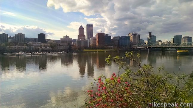
The Portland Metropolitan Area has a population of over 2 million people. For fans of the outdoors, Portland is a great base camp, with the coast, high mountains, and Columbia River Gorge just short drives away. Great hikes can also be found right in Portland.
Portland is located in Multnomah County on Oregon’s northern border. The city straddles the Willamette River near its confluence with Columbia River. Across that river is Vancouver, Washington.
The Tualatin Mountains run along the west side of Portland and include Forest Park and other green spaces packed with hiking and biking trails. Buttes, or extinct volcanoes, are spread around the Portland area offering additional hiking destinations.

Hiking Portland
This collection of trails in Portland lists hikes from north to south. The table may also be sorted alphabetically or by distance to help you pick your next hike. Each trail links to its own report complete with photos, GPS maps, elevation profiles, directions, and all the other information needed to locate and enjoy these hikes. Below the table is an interactive map showing the location of each hike.
| Trail | Description | Distance | Location |
|---|---|---|---|
 175 175 | Dogwood Trail - Alder Trail Loop This hike combines five trails (Keil Trail, Dogwood Trail, Leif Erikson Drive, Alder Trail, and Wildwood Trail) to form a lovely woodland loop in Forest Park. | 2.8 miles 410 | 45.5403, -122.7368 |
 178 178 | Wild Cherry Trail – Dogwood Trail Loop This Forest Park hike plots a nice, short, woodland escape by easing down Wild Cherry Trail to Leif Erikson Drive and rising back up Dogwood Trail. | 2.5 miles 515 feet | 45.53826, -122.73406 |
 180 180 | Wild Cherry Trail – Alder Trail Loop This circuit (a combination of two shorter loops) explores more of woodland beauty in Forest Park. | 3.5 miles 510 feet | 45.53826, -122.73406 |
 285 285 | Holman Lane – Wildwood Trail – Birch Trail Loop This hike combines three trails in Forest Park for a refreshing woodland walk. | 2.7 miles 425 feet | 45.5336, -122.7332 |
 290 290 | Lower Macleay Trail to Stone House This hike starts by following Balch Creek to fern-covered ruins and can finish with a loop that exits Forest Park and passes through the Willamette Heights Neighborhood in Northwest Portland. | 2 miles 400 feet | 45.53585, -122.7125 |
 295 295 | Lower Macleay Park to Pittock Mansion This Forest Park hike takes Lower Macleay Trail to the Stone House ruins and ascends Wildwood Trail to Pittock Mansion, bagging a big view over Portland. | 5.4 miles 850 feet | 45.53585, -122.7125 |
 300 300 | Cornell Road to Pittock Mansion This partial loop on Wildwood Trail and Upper Macleay Trail goes up a wooded hillside in Forest Park to Pittock Mansion, a landmark with panoramic views over Portland. | 2.5 miles 435 feet | 45.5269, -122.7265 |
 305 305 | Marquam Nature Park This hike goes through peaceful forest in a less visited pocket of Portland's West Hills. | 1.3 - 4.25 miles 225 - 500 feet | 45.50276, -122.6916 |
 306 306 | George Himes Trail This short lollipop loop ascends into Portland's West Hills for a woodland walk with a view of Mount Hood. | 1.5 miles 400 feet | 45.49825, -122.8392 |
 308 308 | Tualatin Hills Nature Park This hike on Vine Maple Trail, Old Wagon Trail, and Oak Trail loops through forests and wetlands in a pocket of wilderness on the west side of Beaverton. | 2.1 miles 30 feet | 45.49825, -122.8392 |
 310 310 | Powell Butte This lollipop loop combines Mountain View Trail and Summit Lane to explore the top of Powell Butte and its big views from Southeast Portland. | 2.15 miles 165 feet | 45.49036, -122.49726 |
 312 312 | Scouters Mountain Nature Park This short loop explores a forested mountain east of Portland, rising to a shelter and a viewpoint facing Mount Hood. | 1.2 miles 180 feet | 45.4468, -122.5078 |
 315 315 | Old Main Trail - Red Fox Trail - Cedar Trail - Middle Creek Trail - Maple Ridge Trail Loop This 5-trail circuit in the middle of Tryon Creek State Natural Area goes through rolling woodland and across 3 bridges. | 2 miles 150 feet | 45.4411, -122.6759 |
 320 320 | Trillium Trail This short nature trail in Tryon Creek State Natural Area is packed with plant-identifying panels as well as benches and viewing platforms. | 0.37 miles 15 feet | 45.4411, -122.6759 |
 324 324 | Camassia Natural Area This easy loop tours wildflower-packed meadows and surrounding forests in a blossoming West Linn preserve. | 0.8 miles 70 feet | 45.3592, -122.6182 |
 325 325 | Canemah Bluff Nature Park This hike explores wildflower fields and forests on a perch above the Willamette River near Oregon City. | 1.7 miles 165 feet | 45.3449, -122.6256 |
 340 340 | Round Lake Loop & Pothole Falls This circuit wraps around a soothing lake with a side trail to cubbyhole cascades - in Camas, Washington. | 1.6 miles 200 feet | 45.60395, -122.4070 |
Or explore hikes around Portland on the Hike Finder Map.


