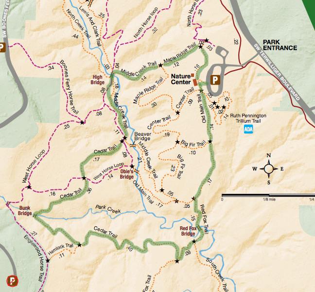
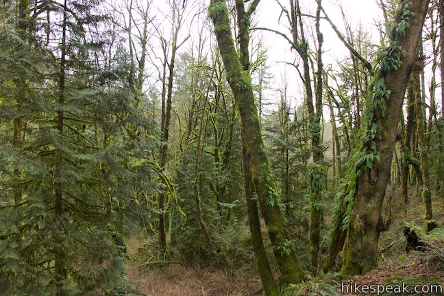
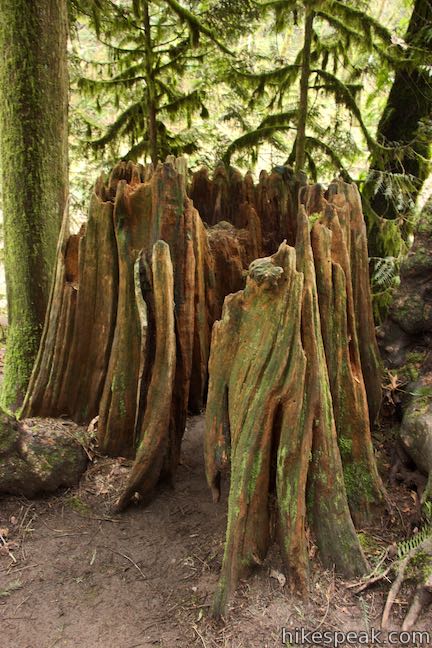
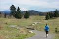
Located just five miles from downtown Portland, Tryon Creek State Natural Area preserves 658-acres of lush second-growth forest made up of mossy red cedars and Douglas firs. Many miles of trail and 8 bridges allow visitors to explore the Tryon Creek Watershed. At first glance, the web of trails on the park map is overwhelming, but it actually allows for numerous easy to moderate outings. West Horse Loop Trail and North Horse Loop Trail are designed for equine traffic, so you may wish to avoid those if you’re on foot. For a 2-mile hike crossing three bridges and 150 feet of rolling elevation change, combine Old Main Trail, Red Fox Trail, Cedar Trail, Middle Creek Trail, and Maple Ridge Trail on a well marked loop.
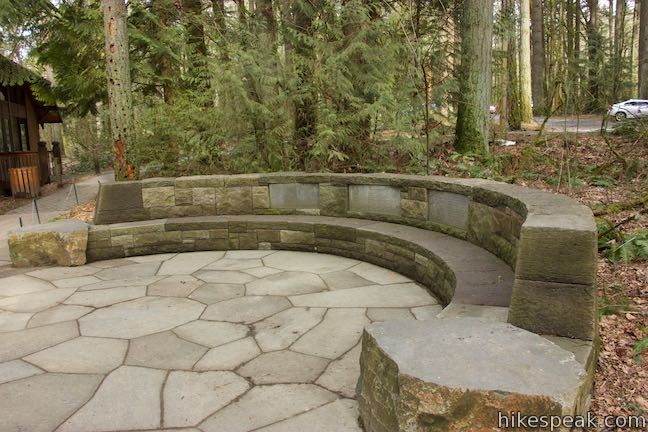
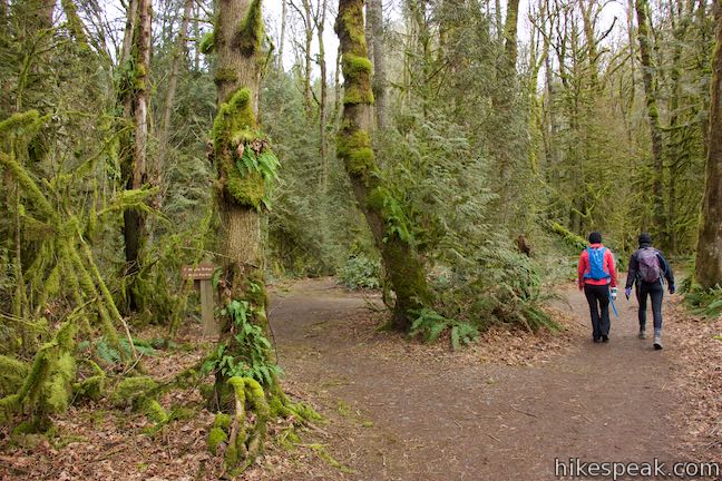
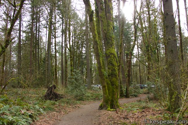
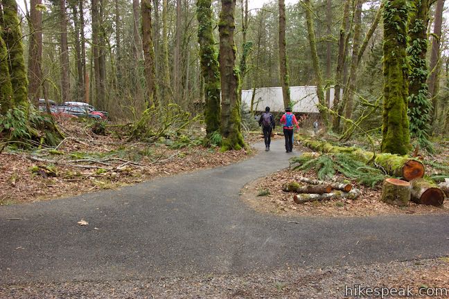
Start at Tryon Creek Nature Center by the park’s main entrance and parking area. The nature center has park maps and information about plants and animals in the park.
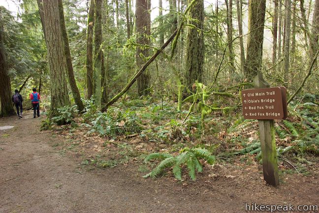
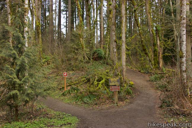
To hike this loop in a clockwise direction, set out down Old Main Trail from a trailhead on the south side of the nature center. Three trails leave from a stone seating area by the parking lot. Center Trail heads west while Trillium Trail and Old Main Trail both go south. Trillium Trail is a paved nature trail that offers its own short hike.
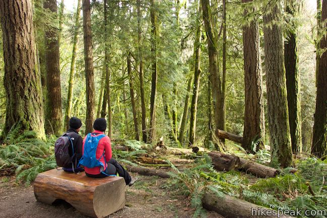
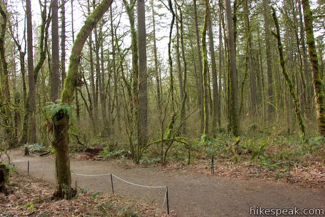
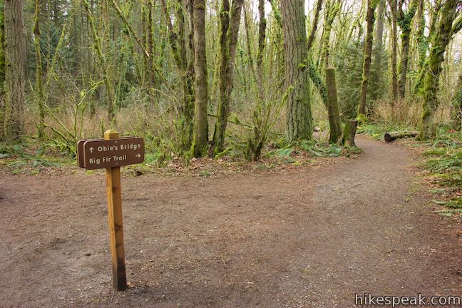
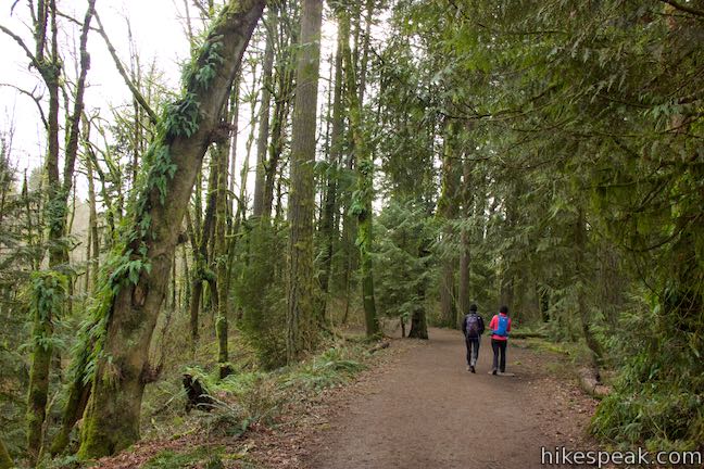
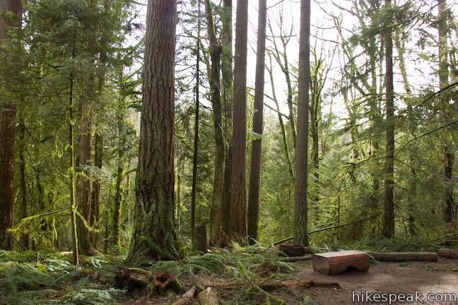
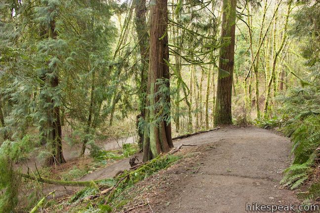
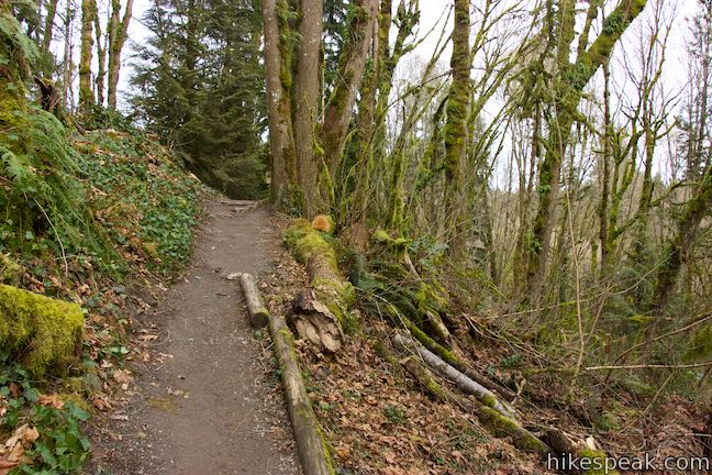
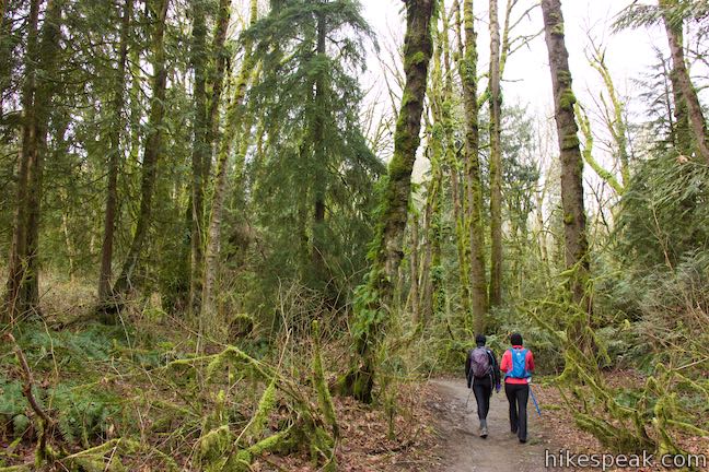
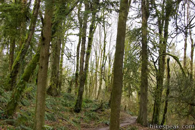
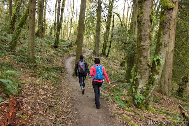
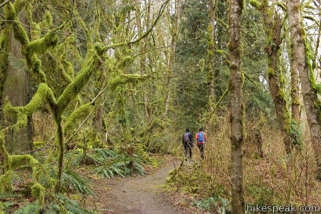
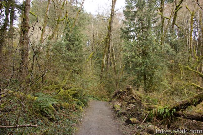
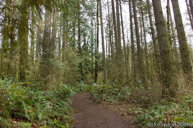
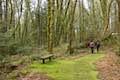
March south down Old Main Trail, a wide, level trail through a forest of tall trees. When Big Fir Trail branches off to the right, remain on Old Main Trail. Not long after the junction, and about 300 yards from the trailhead, a bench carved out of one large piece of wood is positioned just off the left side of the trail and provides a nice rest stop and a perspective into the forest.
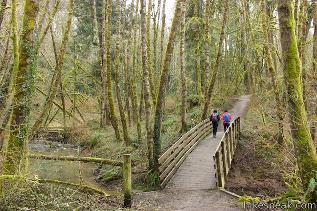
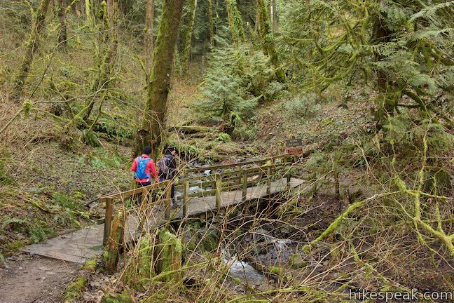
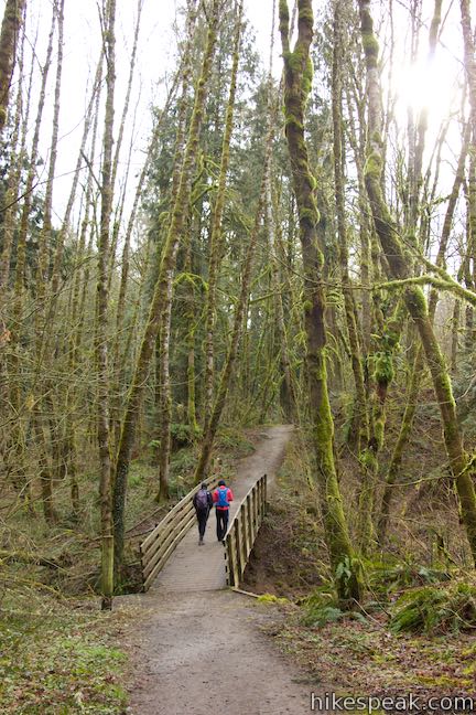
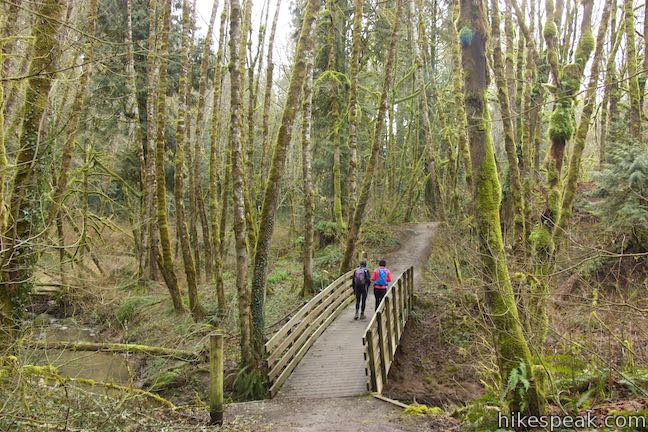
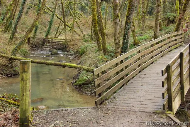
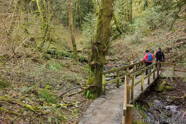
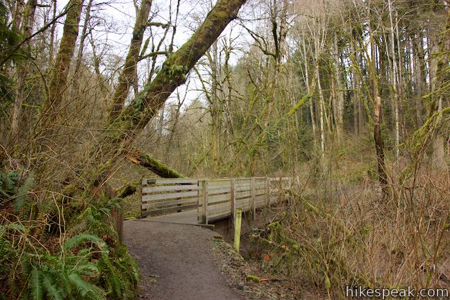
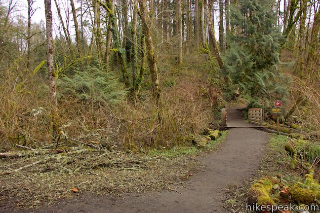
When Old Main Trail comes to a second junction, turn left down Red Fox Trail. Descend switchbacks as the terrain slopes down to Tryon Creek. Cross the creek on Red Fox Bridge, 0.4 miles from the start of the hike, pausing at least long enough to listen to the water.
On the other side, Red Fox Trail rises to a junction with South Creek Trail, which follows Tryon Creek down to Iron Mountain Trail. Stay to the right to continue the loop. Red Fox Trail rises away from Tryon Creek and comes to a junction with Cedar Trail, 0.55 miles from the start.
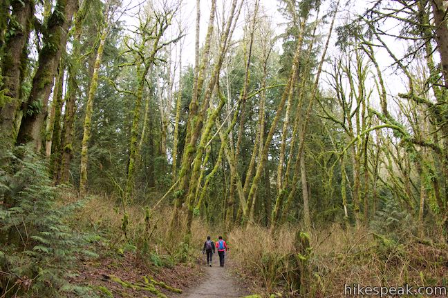
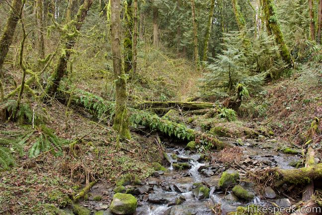
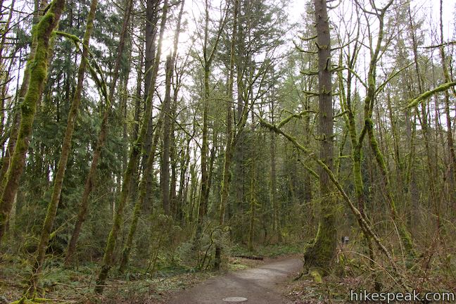
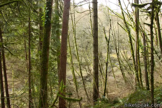
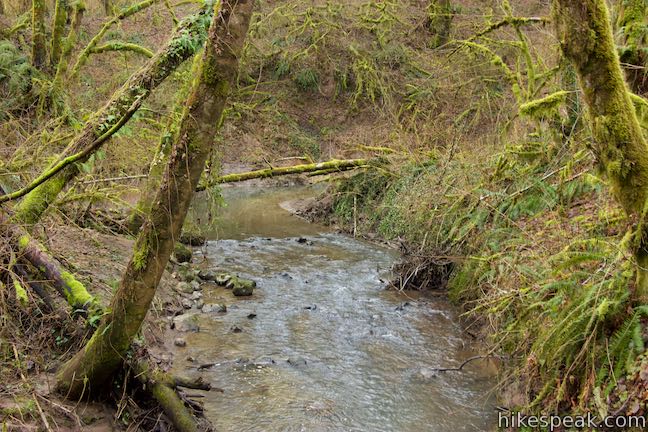
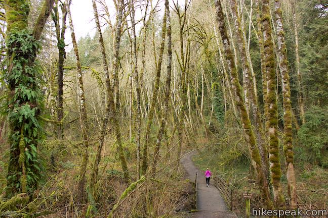
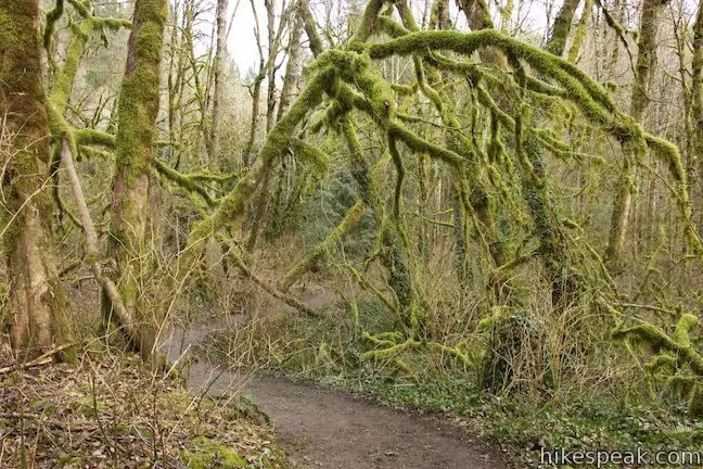
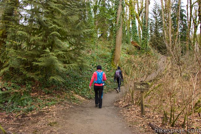
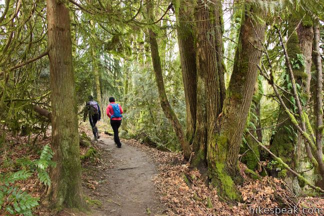
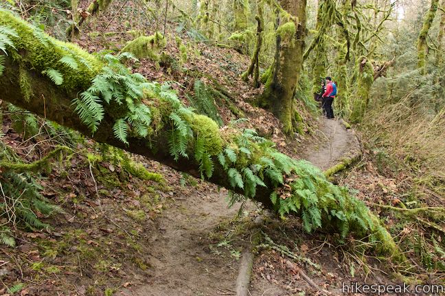
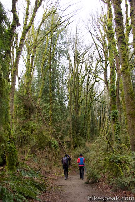
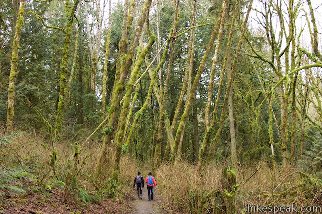
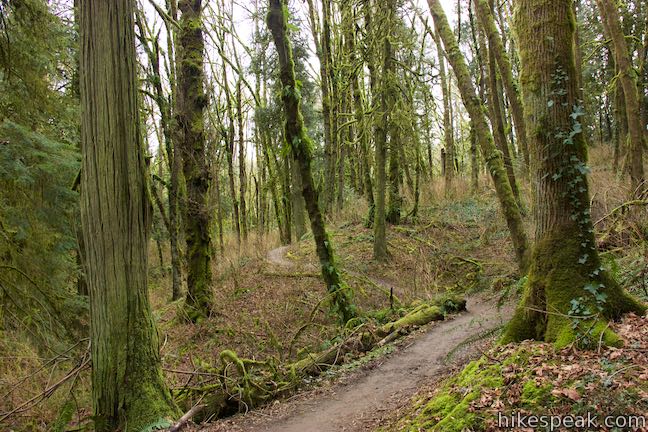
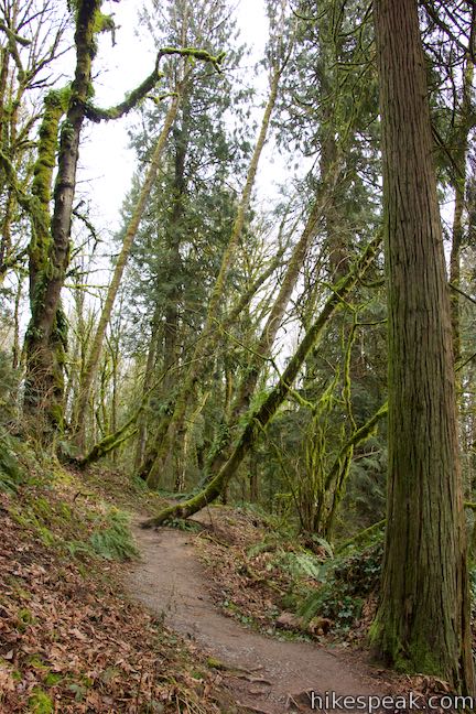
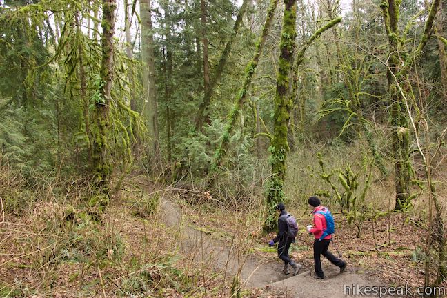
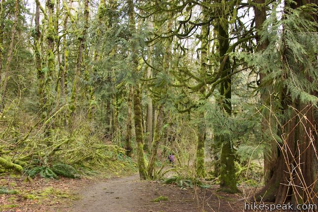
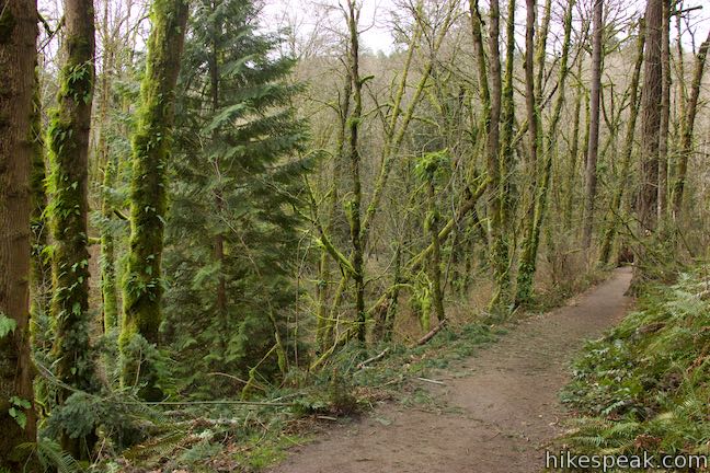
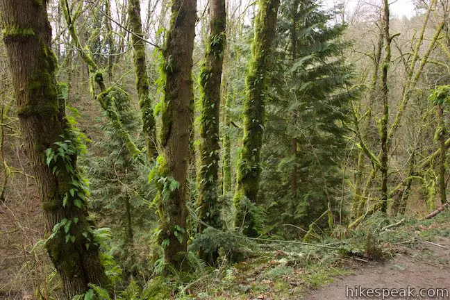
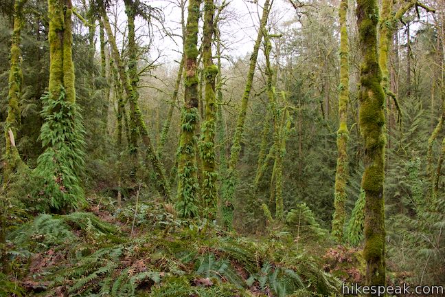
Sticking with Red Fox Trail would lead you to a trailhead on Boca Ratan Drive, so turn right up Cedar Trail instead. Hike on Cedar Trail for the next 0.9 miles, traveling through red cedars growing above Tryon Creek. Ferns and Oregon grapes cover the ground, along with far too much English ivy. Moss clings to tree branches like the sleeves of a green sweater.
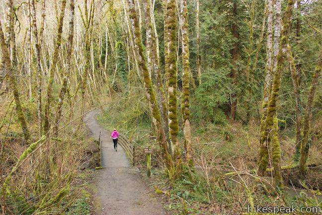
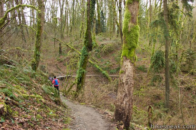
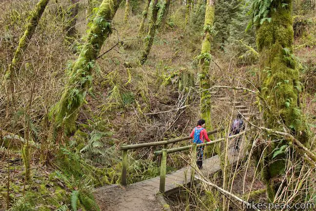
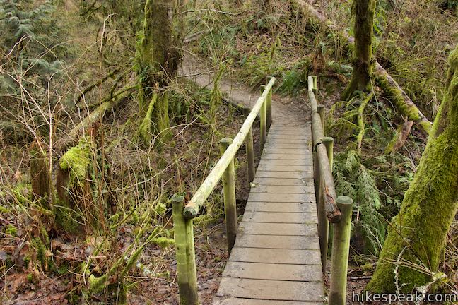
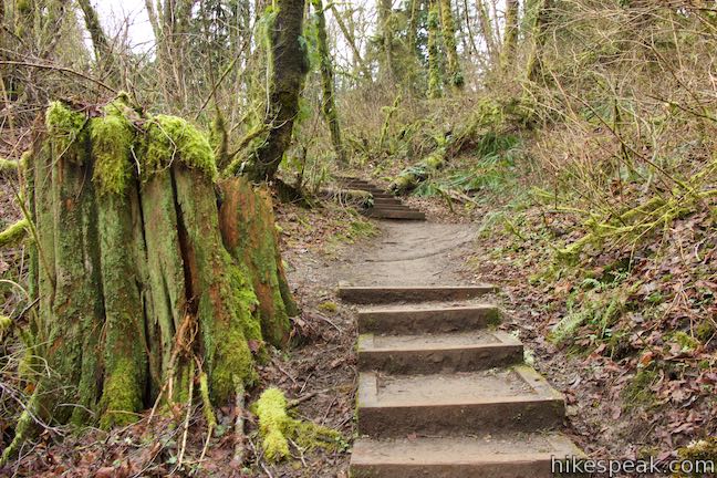
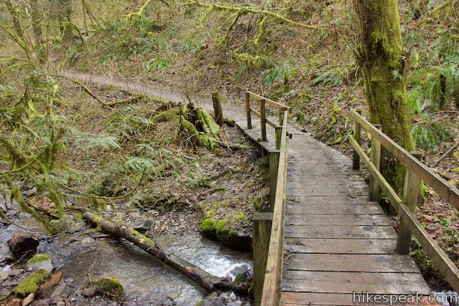
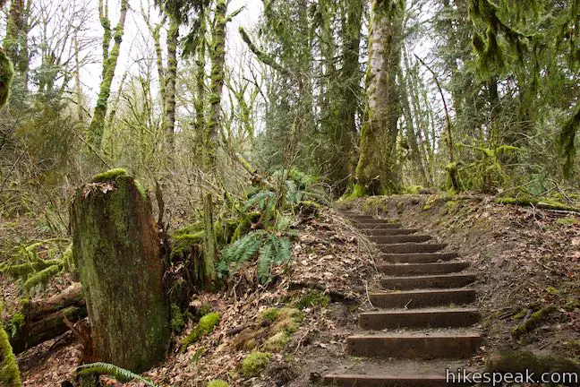
After 0.2 miles on Cedar Trail, you will cross a small stream that has a wooden bridge with hand railings. This is not one of the park’s named bridges seen on the trail map. Across the bridge, a flight of wooden steps leads up a steep but fleeting ascent.
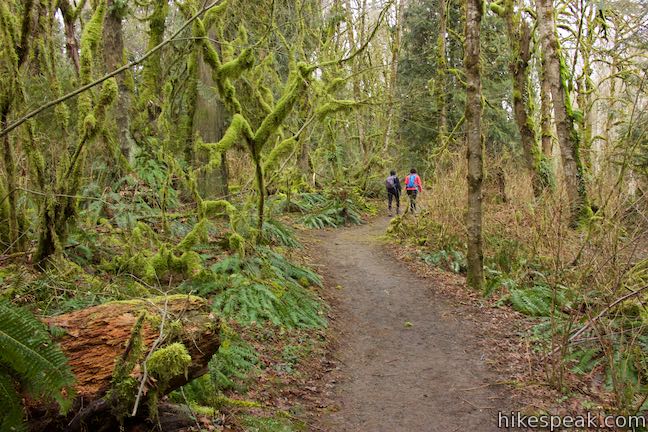
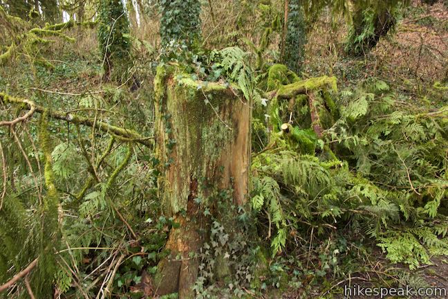
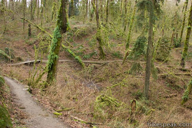
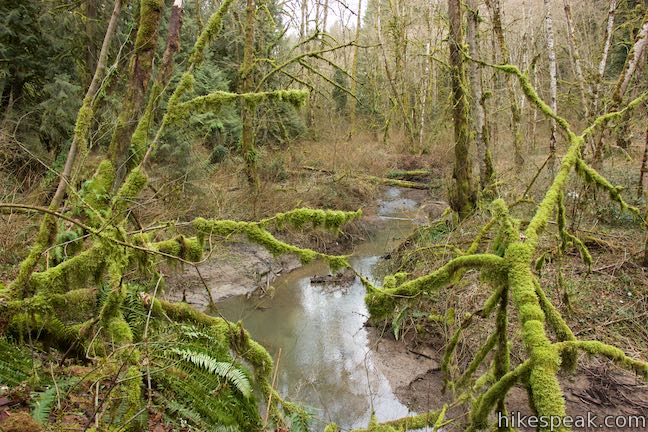
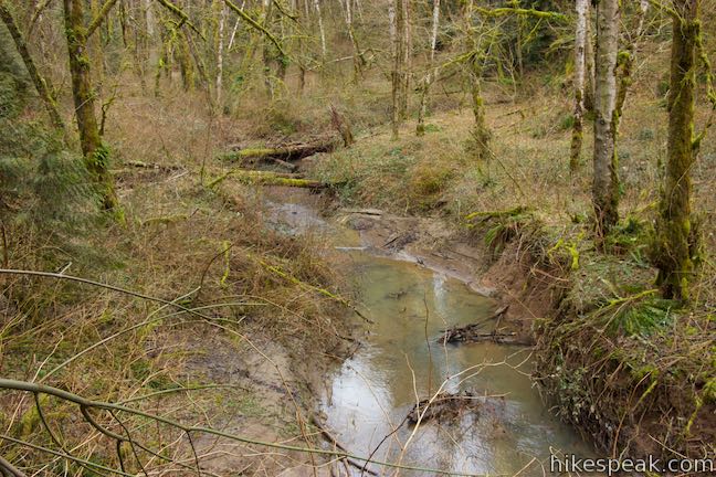
Find moss, lichens, and ferns growing up the trees in this particularly lush section of forest. Bear right to stay on Cedar Trail as it passes Hemlock Trail. Cedar Trail weaves down to Bunk Bridge, 1.1 miles into the hike. As you cross Park Creek, a fork off Tryon Creek leads up a stream of lightly tumbling water while this piece of Park Creek probably isn’t steep enough to be called a cascade, it is nice nevertheless.
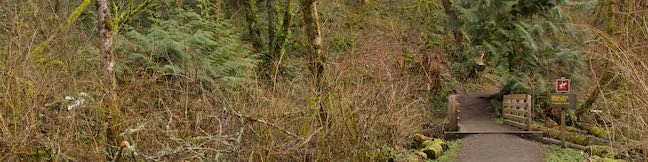
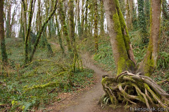
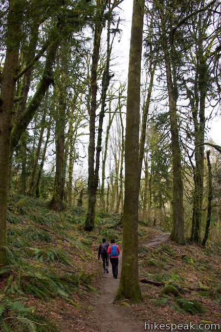
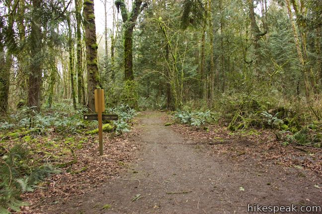
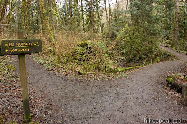
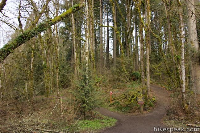
Proceed up Cedar Trail through two intersections with West Horse Loop Trail, 1.28 and 1.45 miles from the start. As you cross West Horse Loop Trail for the second time, you will spot another junction where Cedar Trail comes to an end. At this T-junction, turn left onto Middle Creek Trail to continue with the loop. If you turned right instead, you could quickly check out Beaver Bridge and make your way back to Old Main Trail and the Nature Center.
Turn left to hike north up Middle Creek Trail. Tryon Creek slips through the forest to your right, flowing in and out of view. While you are on Middle Creek Trail for about 1/3 of a mile, your trail will briefly overlap West Horse Loop Trail as you approach High Bridge.
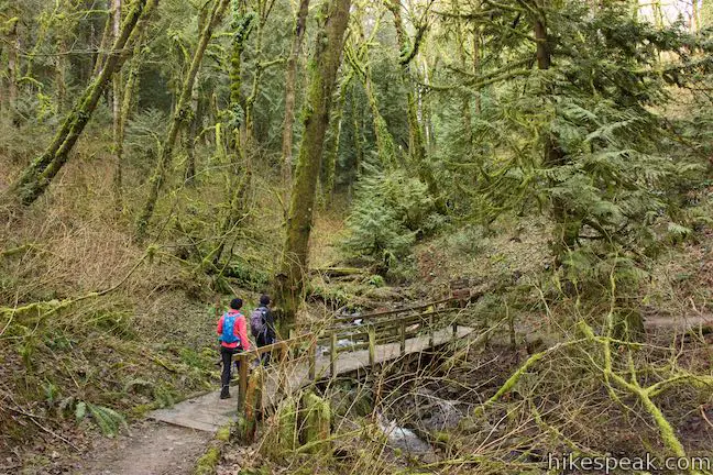
When Middle Creek Trail meets West Horse Loop Trail, turn right, following a sign for High Bridge. Walk across the loop’s third and final named bridge, 1.65 miles from the start. Appreciate Tryon Creek one last time. Across the bridge, Lewis and Clark Trail and North Horse Loop Trail part to the left. Skip these, unless you wish to extend things into the north end of the park, and bear right to stay on Middle Creek Trail.
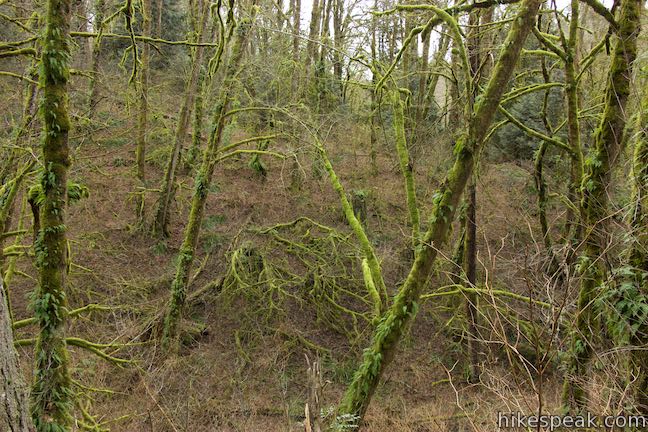
Middle Creek Trail rises up a ridge away from Tryon Creek. Overlook a drainage in the terrain to the south as you approach the loop’s final trail. Middle Creek Trail comes to an end at a junction with Maple Ridge Trail. The branch of Maple Ridge Trail to the right runs down to Center Trail for a slightly longer route back to the nature center. Turn left up Maple Ridge Trail for a more direct return route.
Maple Ridge Trail heads east from Middle Creek Trail to a junction with a connector trail to North Horse Loop Trail. Bear right through the junction and hike south toward the parking area, which will come into view through the trees. Maple Ridge Trail ends by a trail kiosk and a paved path to the nature center. With the 2-mile loop complete, you can walk 50 yards down to the nature center or return to your vehicle.
The basic directions for Two-Mile Loop are:
- Leave the nature center and hike south down Old Main Trail (0 miles)
- Stay to the left past Big Fir Trail (0.14 miles)
- Turn left down Red Fox Trail (0.31 miles)
- Cross Red Fox Bridge (0.4 miles)
- Stay to the right on Red Fox Trail past South Creek Trail (0.46 miles)
- Turn right up Cedar Trail (0.55 miles)
- Stay to the right on Cedar Trail past Hemlock Trail (0.92 miles)
- Cross Bunk Bridge (1.1 miles)
- Go through one intersection with West Horse Loop Trail (1.28 miles)
- Go through a second intersection with West Horse Loop Trail (1.45 miles)
- Reach the end of Cedar Trail and turn left up Middle Creek Trail (1.46 miles)
- Turn right toward High Bridge when Middle Creek Trail joins West Horse Loop Trail (1.62 miles)
- Cross High Bridge and past two trails on the left to proceed up Middle Creek Trail (1.65 miles)
- Reach the end of Middle Creek Trail and turn left onto Maple Ridge Trail (1.8 miles)
- Stay to the right past a connector to North Horse Loop Trail (1.93 miles)
- Hit pavement at the end of Maple Ridge Trail and head to the parking area or nature center (2 miles)
Each junction along the loop is marked with clear signs. Leashed dogs are welcome on these trails in Tryon Creek State Natural Area, but bikes are not allowed. No permit is needed to hike in Tryon Creek State Natural Area and parking at the trailhead is free, so no Oregon State Park’s pass is required.
Directions to the Trailhead
- From Portland, take Interstate 5 south to exit 297 for Terwilliger Boulevard.
- At the end of the ramp, you will merge onto SW Barbur Boulevard and come to an intersection with SW Terwilliger Boulevard.
- Turn right, drive 2.4 miles down SW Terwilliger Boulevard, and turn right into the main entrance for Tryon Creek State Natural Area.
- Find parking in the lots in front of the nature center.
Trailhead Location
Trailhead address: 11321 SW Terwilliger Boulevard, Portland, OR 97219
Trailhead coordinates: 45.4411, -122.6759 (45° 26′ 27.95″N 122° 40′ 33.23″W)
View Tryon Creek State Natural Area in a larger map
Or view a regional map of surrounding Oregon trails and campgrounds.


 | Trillium Trail in Tryon Creek State Natural Area This short nature trail is packed with plant-identifying panels as well as benches and viewing platforms. |
 | George Himes Trail This short lollipop loop ascends into Portland's West Hills for a woodland walk with a view of Mount Hood. |
 | Marquam Nature Park Hike through peaceful forest in a pocket of Portland's West Hills on a 1.3, 3, or 4.25-mile loop. |
 | Lower Macleay Trail to Stone House This 1.8 to 2-mile hike starts by following Balch Creek to fern-covered ruins and can finish with a loop that exits Forest Park and passes through the Willamette Heights Neighborhood in Northwest Portland. |
 | Lower Macleay Park to Pittock Mansion This 5.4-mile hike in Forest Park takes Lower Macleay Trail to the Stone House ruins and ascends Wildwood Trail to Pittock Mansion, bagging a big view over Portland. |
 | Cornell Road to Pittock Mansion This 2.5-mile hike on Wildwood Trail and Upper Macleay Trail in Forest Park goes up a wooded hillside to Pittock Mansion, a landmark with panoramic views over Portland. |
 | Holman Lane – Wildwood Trail – Birch Trail Loop This 2.7-mile loop combines three trails in Forest Park for a refreshing woodland walk. |
 | Tualatin Hills Nature Park This 2.1-mile hike on Vine Maple Trail, Old Wagon Trail, and Oak Trail loops through forests and wetlands in a pocket of wilderness on the west side of Beaverton. |
 | Powell Butte This 2.15-mile lollipop loop combines Mountain View Trail and Summit Lane to explore the top of Powell Butte and its big views from Southeast Portland. |
 | Trails in Oregon Explore more hikes in Oregon outside Greater Portland. |
- A similar loop in Tryon Creek State Natural Area on outdoorproject.com (opens in a new tab)
- A larger loop in Tryon Creek State Natural Area on oregonhikers.org (opens in a new tab)
- Tryon Creek State Natural Area on wikipedia.org (opens in a new tab)
- The official website for friends of Tryon Creek (opens in a new tab)
- The official trail map for Tryon Creek State Natural Area (opens in a new tab)
- The official website for Tryon Creek State Natural Area (opens in a new tab)
Common Questions about Two-Mile Loop in Tryon Creek State Natural Area
- Is the trail open?
- Yes. You should expect to find that Two-Mile Loop in Tryon Creek State Natural Area is open. There are no recent reports of trail closures. If you discover that the trail is closed, please help your fellow hikers by reporting a closure.
- Is this trail free to access?
- Yes, Two-Mile Loop in Tryon Creek State Natural Area is free to access. No entrance fee, pass, or permit is required. If you discover that access rules have changed, please provide feedback on your experience.
- How much time does this hike take?
- It takes approximately 1 hour to hike Two-Mile Loop in Tryon Creek State Natural Area. Individual hiking times vary. Add extra time for breaks and taking in the views.
- How long is this hike?
- The hike to Two-Mile Loop in Tryon Creek State Natural Area is a 2 mile loop with 150 feet of elevation change.
- Are dogs allowed on this trail?
- Yes, dogs are allowed on Two-Mile Loop in Tryon Creek State Natural Area. The trail is open to hikers, dogs.
- Is Two-Mile Loop in Tryon Creek State Natural Area good for kids?
- Yes, this hike is likely suitable for children. It is relatively short (2 miles) with manageable elevation gain.
- Where is the trailhead located?
- The trailhead for Two-Mile Loop in Tryon Creek State Natural Area is located in Portland, Oregon.
Trailhead Address:
11321 SW Terwilliger Boulevard
Portland, Oregon 97219
Trailhead Coordinates:
45.4411, -122.6759 - What are the driving directions to the start of the hike?
To get to the trailhead: From Portland, take Interstate 5 south to exit 297 for Terwilliger Boulevard. At the end of the ramp, you will merge onto SW Barbur Boulevard and come to an intersection with SW Terwilliger Boulevard. Turn right, drive 2.4 miles down SW Terwilliger Boulevard, and turn right into the main entrance for Tryon Creek State Natural Area. Find parking in the lots in front of the nature center.
View custom Google Maps directions from your current location.
- Are there other trails near Two-Mile Loop in Tryon Creek State Natural Area?
- Yes, you can find other nearby hikes using the Hikespeak Hike Finder Map.

Go the extra miles...
Submit a rating of this hike to go with your comment. Contribute to the average trail rating.