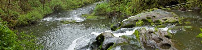
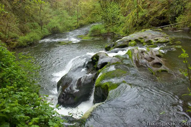
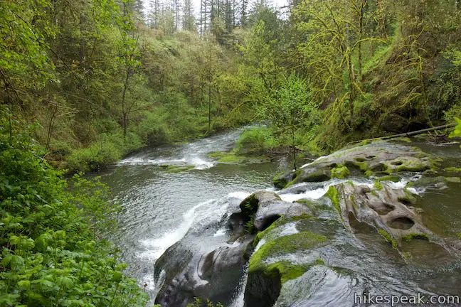
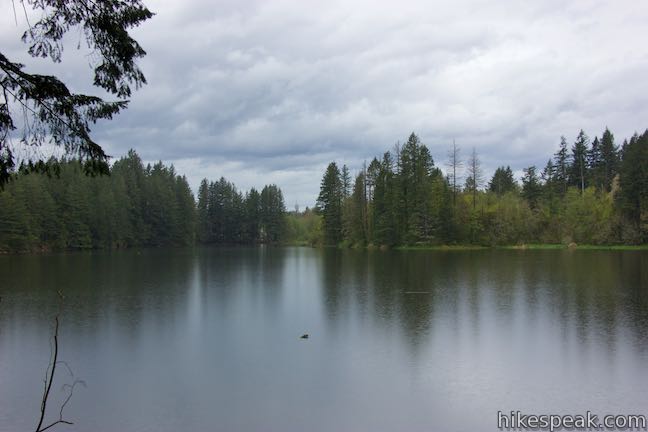
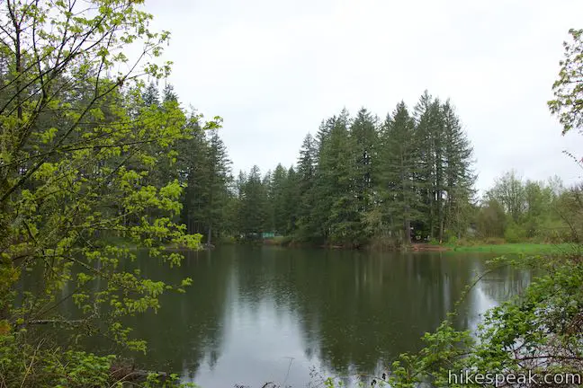
Potholes aren’t always bad. The creatively carved-out bedrock at Pothole Falls adds to the allure of the cascades. Pothole Falls is just a stone’s throw from Round Lake, a 26-acre body in Lacamas Lake Regional Park in Camas, Washington. Round Lake Loop Trail offers a relaxing nature trail through lake-edge forest. Circle Round Lake and check out Pothole Falls on a 1.6-mile outing with 200 feet of elevation change. Alternatively, you could skip Pothole Falls for a 1.45-mile loop or visit the falls and turn around there for a 1.1-mile out and back hike with less elevation change.
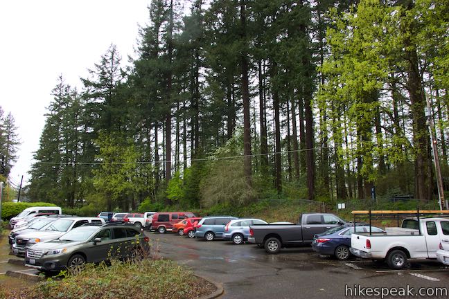
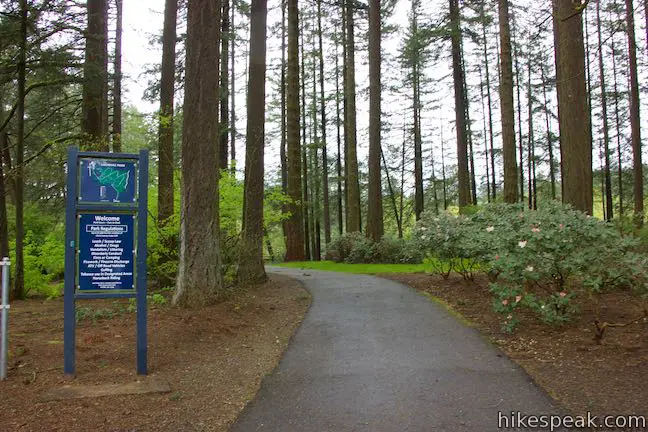
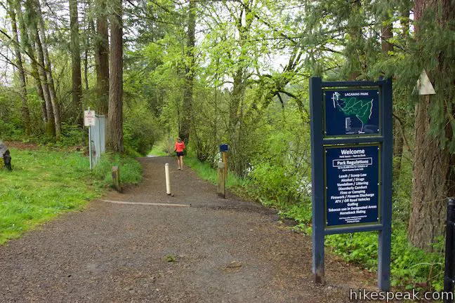
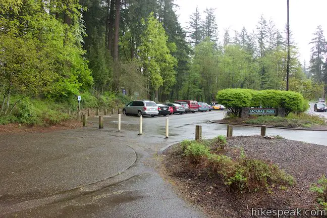
The hike begins from a parking area for Lacamas Lake Regional Park (a.k.a. Lacamas Park) along NE Everett Street. If the main lot is full, you can park in an overflow lot, that is just around the corner and also located along the loop (so starting there won’t extend the distance of the hike).
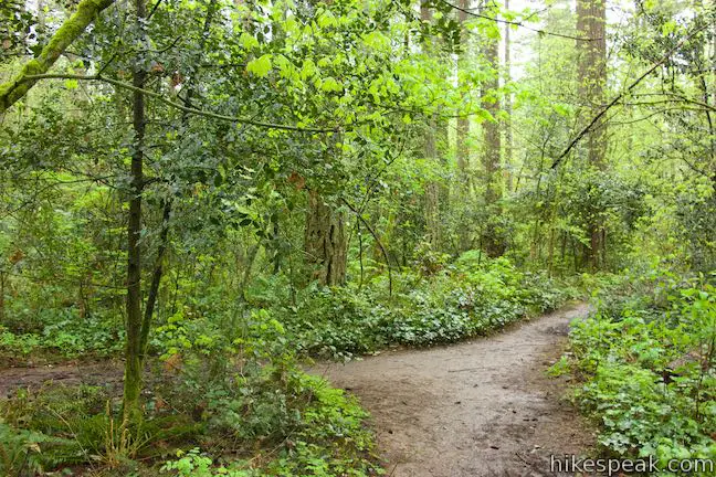
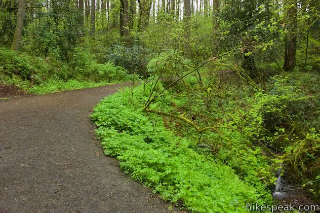
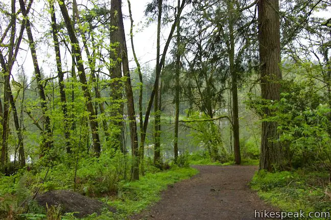
Leave the parking area and walk east through the forest along a short channel flowing between Lacamas Lake and Round Lake. Shaded picnic tables and grills are situated along the wide trail, and you’ll probably spot people fishing from the shore.
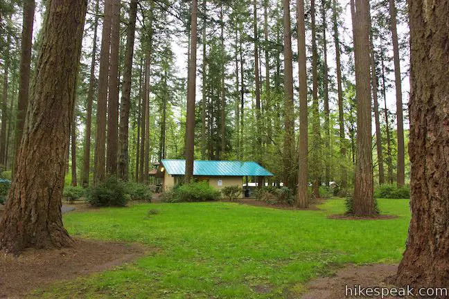
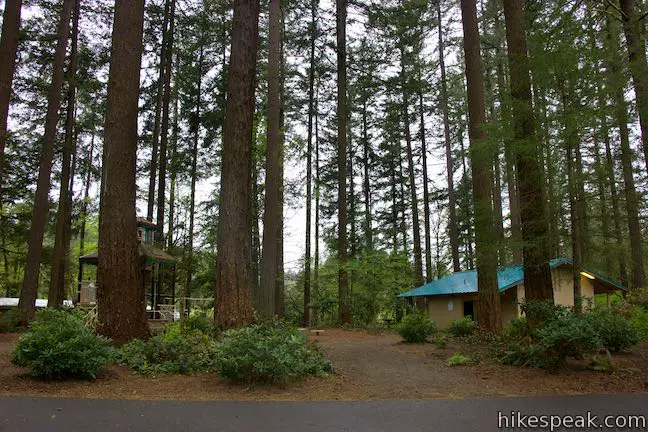
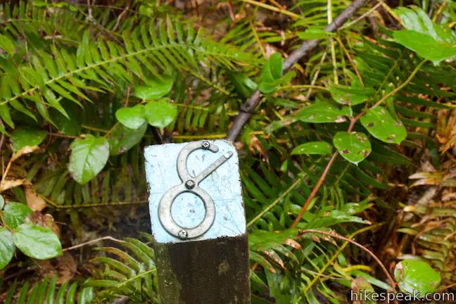
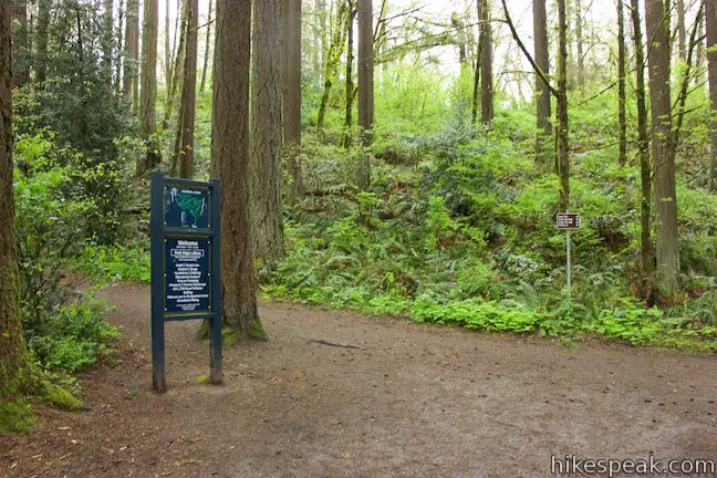
After a tenth of a mile on a paved trail, come to a kiosk, located near a playground and bathrooms where the hike truly begins. The kiosk provides a load of information about the history and ecology of Camas Lake. You may also find a trail guide for Round Lake Loop with sixteen entries corresponding with numbered posts along the way.

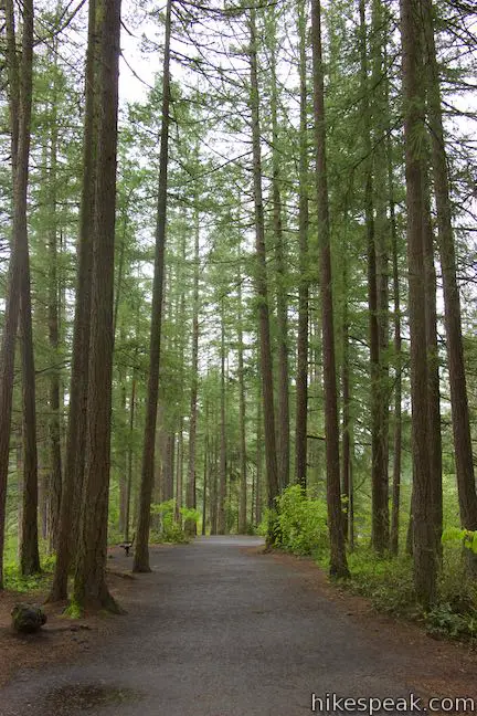
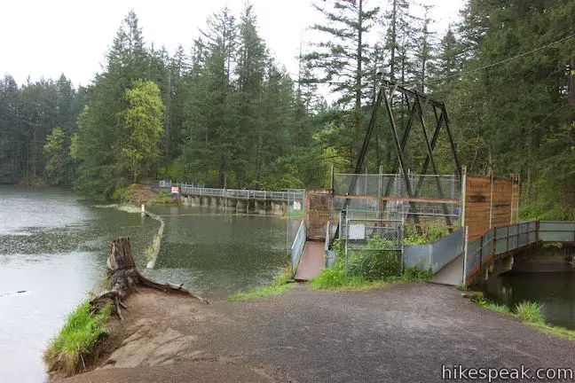
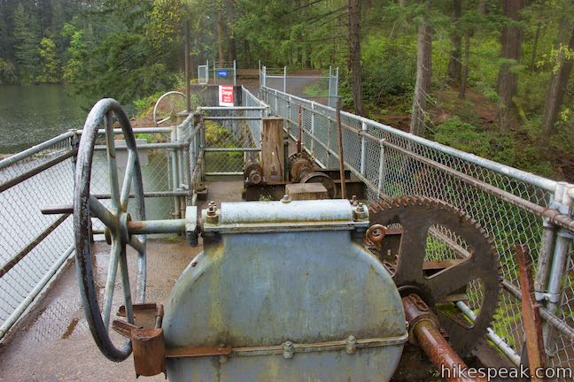
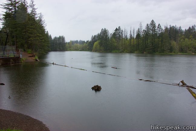
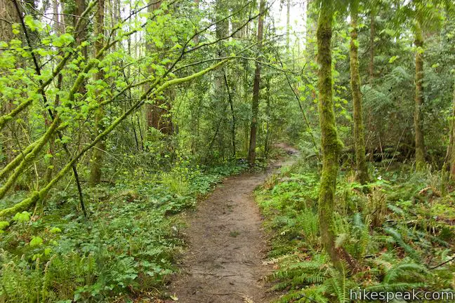
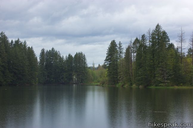
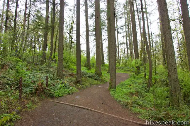
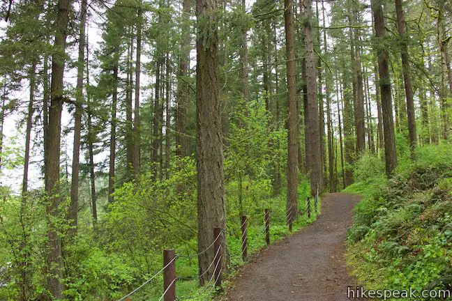
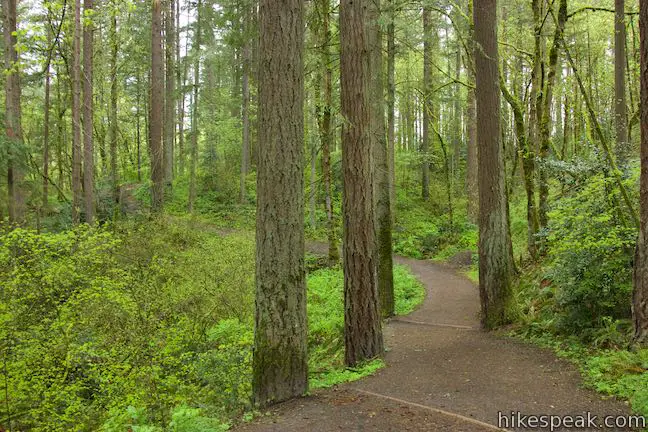
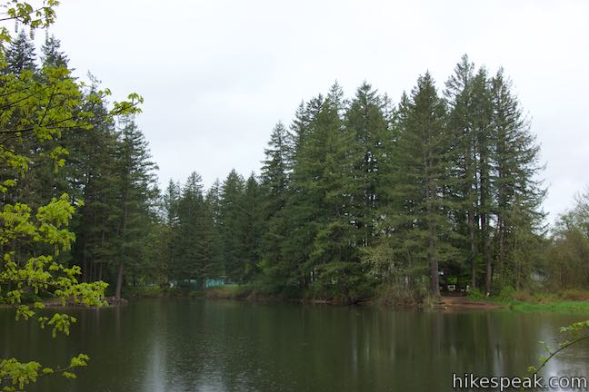
Proceed on the gravel trail through a forest of tall conifers, admiring the lake to your left. A marshy area lies to the right, making the trail feel like it is crossing a forest land bridge. The trail exits the trees to offer a view of a dam and fish screen on Round Lake. A panel along the trail describes the fish screens:
The rotary fish screen was installed at the request of the Washington State Department of Game. The purpose was to prevent fish from leaving the lake and entering the mill ditch that was the main source of process water for the paper mill in those days. The “Fish wheel” serves the same purpose today, protecting and enhancing the lake as a habitat.

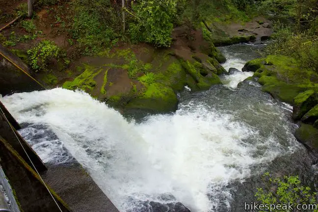
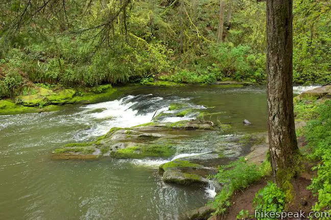
The trail proceeds alongside the fish screens and comes to a trail junction, 1/3 of a mile from the start. Turn left to continue Round Lake Loop, pausing to read a sign describing the area’s dams (like the one you are about to cross). The panel offers a history of the dams:
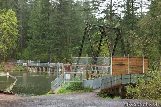
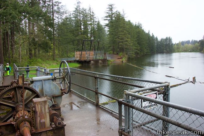
The dams were constructed in 1883 to utilize the water from the Camas Mill operations. The original design was of earthen construction reinforced with wood. In 1923, they were upgrade to the wooden structures pictured here. They were later replaced around 1935 with the concrete structure you see today.
The dam’s construction raised the level of the lake by twelve feet and created a nice spillway that you can look over from the top of the dam.
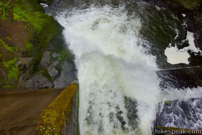
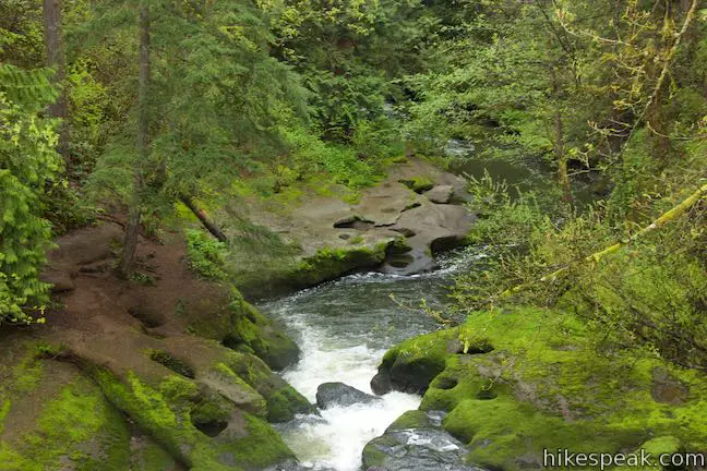
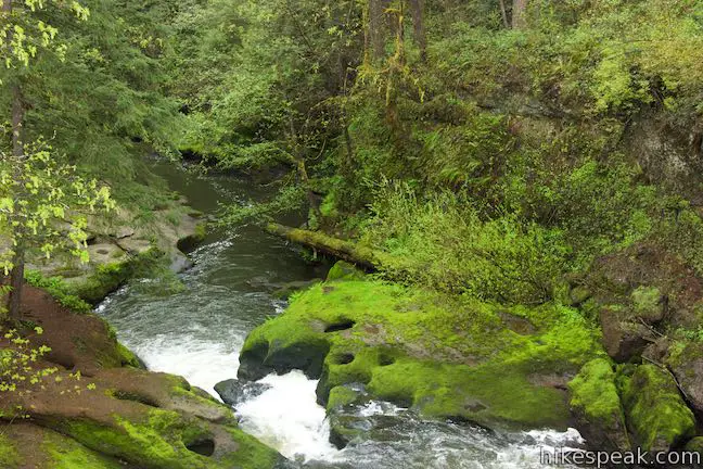
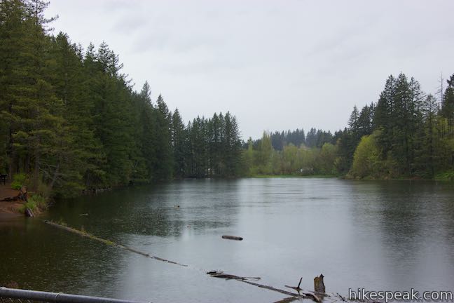
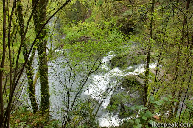
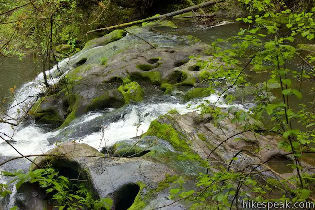
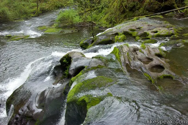
Follow the trail across the dam on Round Lake. Near the center of the dam, you’ll find hand-operated gate valves that regulate the surface level of the lake. If the valves are open, look down the spillway of the dam where water rushes toward the creek below. Along the rocky banks of the creek, you may spot a few “potholes” like those seen at the waterfall downstream.
The dam also offers the loop’s best tree-branch-free views across Round Lake, wrapped in a verdant display of conifers.
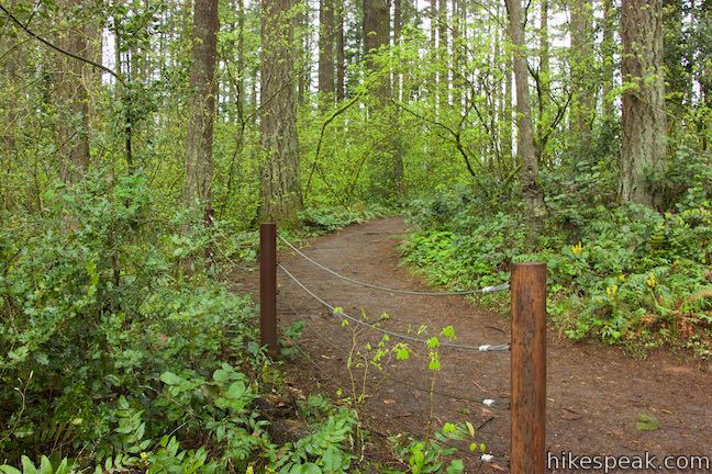
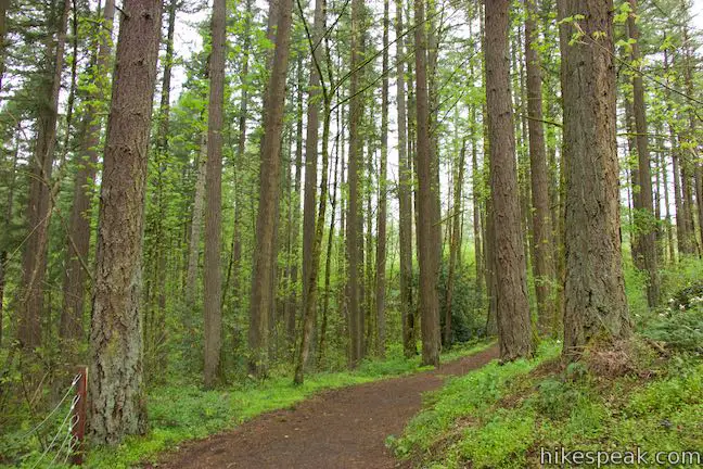
The trail picks back up on the far side of dam. After passing marker #8 (and a lesson about the forest canopy in the trail guide), spot a path breaking off to the right. This is the first of two chances to leave the loop to visit Pothole Falls.
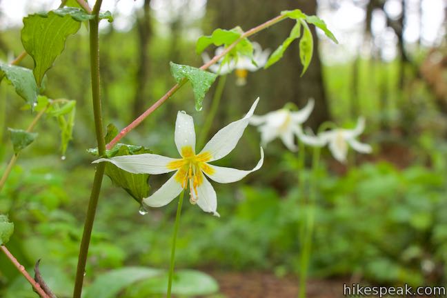
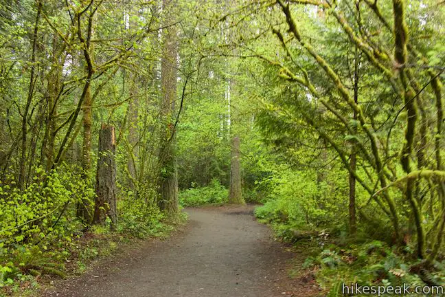
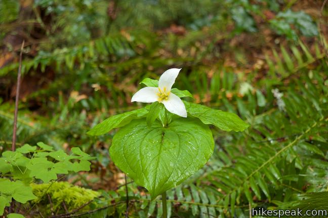
Less than half a mile from the start of the hike, turn right down a path through the forest to Pothole Falls. Walk through ferns and trillium for 150 yards to a fenced-off perch at the edge of the ravine framing Pothole Falls. (Along the way, you’ll pass another path joining from the left that you can use when it is time to return to Round Lake Loop).
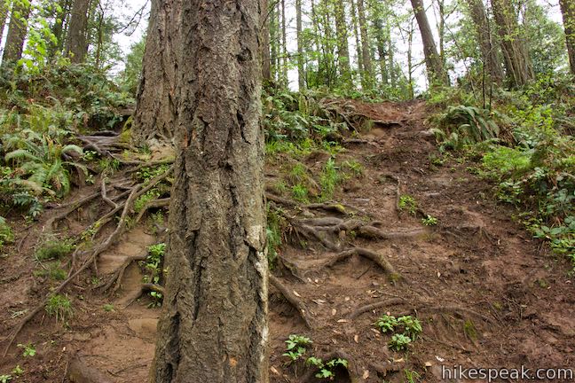
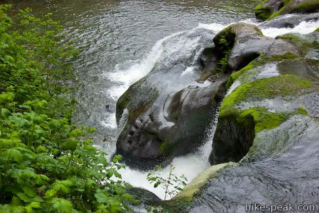
From Pothole Falls Viewpoint, it can be hard to get a clear look at the waterfall through the dense foliage. A gap in the fence presents a steep route down the bank to the creek. The path down uses roots for steps and is badly eroded. The park could install a safer path down to the creek that lessened the damage to the environment.
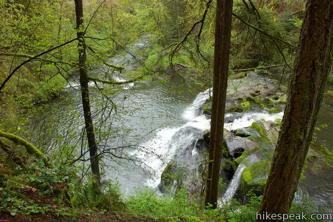
If you venture down the steep path, you’ll come to the bank of Lacamas Creek just upstream from the waterfalls lumpy, fanned-out drop – approximately 15 feet tall and three times as wide. Pothole Falls is a broad cascade with unusual terraces. Potholes are carved into rock all around the waterfall. These crevices in the bedrock resemble Native American grinding holes, but were formed naturally by fast moving water that carried hard rocks capable of grinding out the softer Troutdale Formation.
Leave the Camas Potholes and climb back up to the viewpoint and trail. You might try walking a bit farther down the trail to see if you can find a head-on view of Pothole Falls. When you’re finished, backtrack to the north and bear right at the split to return to Round Lake Loop. Just after the single-track path rejoins the wider trail, you will come to a marked multi-point junction. Take the wide trail on the left to continue around lake.
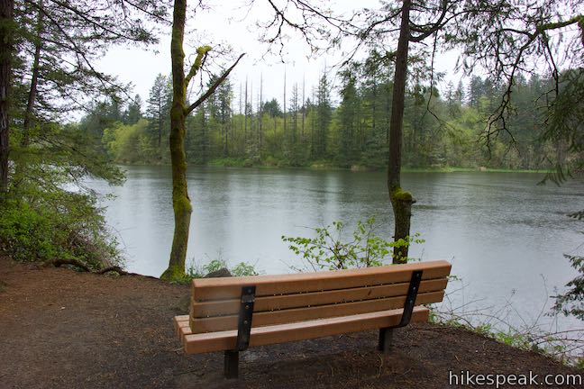
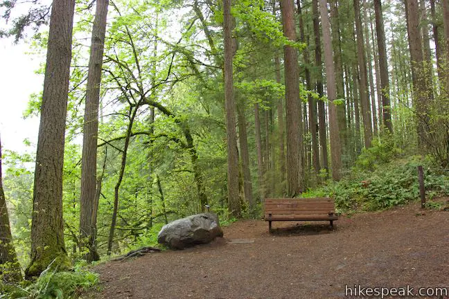
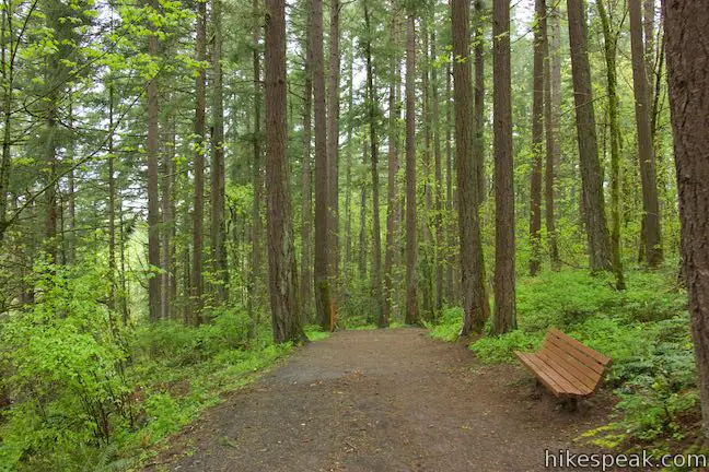
Round Lake Loop is level for a stretch, providing nice lake views to your left. You will quickly come to another junction, 0.7 miles from the start of the hike. Turn left again to ascend switchbacks up a hillside bordering the lake. The next stretch of trail provides most of the loop’s elevation change. Come up to a bench at a bend, with a loftier view of Round Lake. A path proceeding straight ahead might be usable to trim the climb off the lake circuit. To stick with Round Lake Loop Trail, follow it through a curve that rises back to the right.
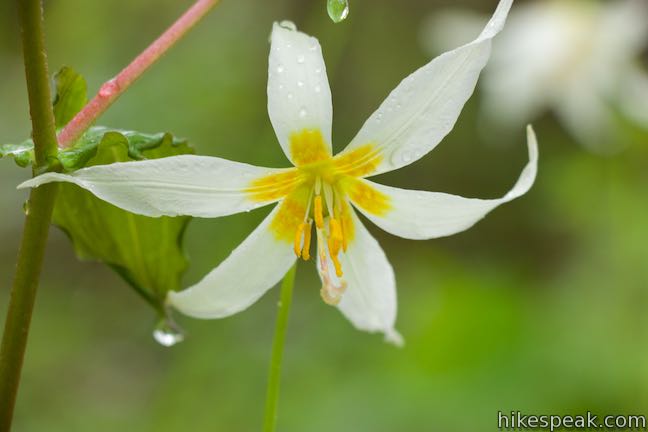
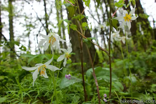
Reach another junction near the high point of the loop by the Camas Lily Fields. Bear left to cross rolling terrain that leads back down to the lake. Along the side of the trail you may spot Camas Lilies in summer months that add beautiful splashes of purple, white, and yellow to the forest floor.
After crossing a dip, Round Lake Loop Trail crosses another rise and then descends past a trickling creek. The trail curves to the left alongside the babbler and angles back down to Round Lake.
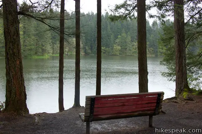
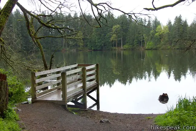
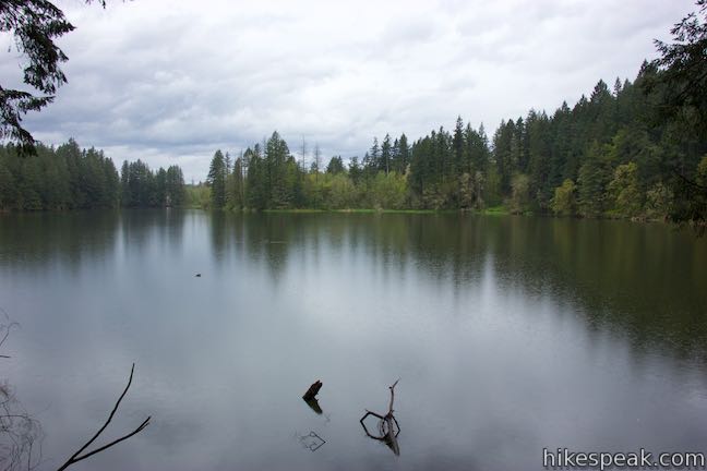
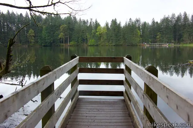
Approach the shoreline and step out onto a dock that extends into the lake. Enjoy broad lake views with the knowledge that the elevation change will be minimal over the final 0.45 miles. An entry in the trail guide explains that you might notice different colors in the lake water depending on when you visit:
Seasonal changes in the appearance of the lake can be seen from this viewing platform. During the wet season, the lake water is cloudy with fine suspended sediment that originated from erosion in the watershed. During the dry season, the greenish color of the lake is from millions of microscopic algae feeding on the rich nutrients in the water.

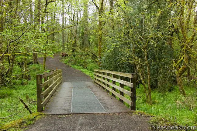
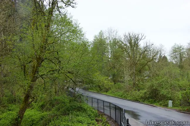
Leave the dock and continue up the trail, which crosses a bridge over a boggy wetland. Things dry out again as you cross through woods on the north side of the lake. After 1.4 miles of hiking (or 1.25 miles if you skipped Pothole Falls), come to the end of Round Lake Loop Trail. When the wide gravel trail runs into a sidewalk, turn left and ease down along the left side of NE 35th Avenue, passing the overflow parking area on the opposite side of the road. When you hit the intersection with NE Everett Street, turn left one last time.
Finish things off by crossing a channel between Lacamas Lake and Round Lake. Lacamas Lake is to your right and is over 10 times larger than Round Lake, covering 296 acres. Across the channel, you will return to the main trailhead parking area, having completed the 1.6-mile Round Lake Loop with Pothole Falls.
This hike presents lovely lake and forest surroundings. What are the drawbacks: the stretch of sidewalk required to complete the loop, the overly-obscured perspective of Pothole Falls from the viewpoint, and the bad erosion on the path down to the side of the waterfall. Bikes and dogs are welcome. No permit is needed to hike Round Lake Loop and parking at Lacamas Lake Regional Park is free, so get out and enjoy!
Directions to the Trailhead
- Coming from Portland, take Interstate 84 to I-205 and drive north for 5 miles into the state of Washington.
- Leave Interstate 205, following signs for Camas, and take exit 37 onto Washington 14.
- Drive east on Washington 14 for 5.5 to exit 12 for Camas.
- The offramp feeds into NW 6th Ave, which you will take for one mile.
- Turn left onto Division Street.
- Drive up to NE 17th Ave and turn right.
- At the end of the street, turn left on NE Everett Street.
- Drive another 3/4 of a mile to the trailhead parking area, which is on the left, just before the channel between Lacamas Lake and Round Lake.
Trailhead Location
Trailhead address: 3344 NE Everett Street, Camas, WA 98607
Trailhead coordinates: 45.60395, -122.4070 (45° 36′ 14.2″N 122° 24′ 25.2″W)
View Lacamas Lake Regional Park in a larger map
Or view a regional map of surrounding Washington trails and campgrounds.


 | Hamilton Mountain The beautiful 7.75-mile lollipop loop visits bombastic waterfalls and panoramic cliffs on the Washington side of the Columbia River Gorge in Beacon Rock State Park. |
 | Beacon Rock Trail This 1.6-mile hike follows an impressively engineered trail packed with switchbacks that scale a monolith along the Columbia River. |
 | June Lake This 2.6-mile hike visits a small lake and a waterfall on the southern slopes of Mount Saint Helens. |
 | Lava Canyon Trail This 1.25-mile loop explores a colorful canyon re-carved by the 1980 eruption of Mount Saint Helens. |
 | Ape Cave This adventurous underground hike in Mount Saint Helens National Volcanic Monument travels through one of the longest lava tubes in the world. |
 | Trail of Two Forests This short nature trail in Mount Saint Helens National Volcanic Monument tours a landscaped that was transformed by a molten lava flow. For extra fun, crawl through a 50-foot long lava tube beneath the trail. |
 | More trails in Washington Explore other hikes in the Evergreen State, including Mount Rainier National Park and Mount Saint Helens National Volcanic Monument. |
- Round Lake Nature Trail Guide (opens in a new tab)
- The official website for Lacamas Lake Regional Park (opens in a new tab)
- The official trail map for Lacamas Lake Regional Park (opens in a new tab)
- Round Lake Loop onoregonhikers.org (opens in a new tab)
- Pothole Falls on waterfallsnorthwest.com (opens in a new tab)
- Camas Potholes on wikipedia.org (opens in a new tab)
Common Questions about Round Lake Loop & Pothole Falls in Lacamas Lake Regional Park
- Is the trail open?
- Yes. You should expect to find that Round Lake Loop & Pothole Falls is open. There are no recent reports of trail closures. If you discover that the trail is closed, please help your fellow hikers by reporting a closure.
- Is this trail free to access?
- Yes, Round Lake Loop & Pothole Falls is free to access. No entrance fee, pass, or permit is required. If you discover that access rules have changed, please provide feedback on your experience.
- How much time does this hike take?
- It takes approximately 45 minutes to hike Round Lake Loop & Pothole Falls. Individual hiking times vary. Add extra time for breaks and taking in the views.
- How long is this hike?
- The hike to Round Lake Loop & Pothole Falls is a 1.6 mile loop with 200 feet of elevation change.
- Are dogs allowed on this trail?
- Yes, dogs are allowed on Round Lake Loop & Pothole Falls. The trail is open to hikers, dogs, bikes.
- Is Round Lake Loop & Pothole Falls good for kids?
- Yes, this hike is likely suitable for children. It is relatively short (1.6 miles) with manageable elevation gain.
- Will I see a waterfall on this hike?
- Yes, Round Lake Loop & Pothole Falls features a waterfall.
- Is there a lake on this hike?
- Yes, Round Lake Loop & Pothole Falls visits a lake.
- Where is the trailhead located?
- The trailhead for Round Lake Loop & Pothole Falls is located in Camas, Washington.
Trailhead Address:
3344 NE Everett Street
Camas, Washington 98607
Trailhead Coordinates:
45.60395, -122.4070 - What are the driving directions to the start of the hike?
To get to the trailhead: Coming from Portland, take Interstate 84 to I-205 and drive north for 5 miles into the state of Washington. Leave Interstate 205, following signs for Camas, and take exit 37 onto Washington 14. Drive east on Washington 14 for 5.5 to exit 12 for Camas. The offramp feeds into NW 6th Ave, which you will take for one mile. Turn left onto Division Street. Drive up to NE 17th Ave and turn right. At the end of the street, turn left on NE Everett Street. Drive another 3/4 of a mile to the trailhead parking area, which is on the left, just before the channel between Lacamas Lake and Round Lake.
View custom Google Maps directions from your current location.
- Are there other trails near Round Lake Loop & Pothole Falls?
- Yes, you can find other nearby hikes using the Hikespeak Hike Finder Map.

Go the extra miles...
Submit a rating of this hike to go with your comment. Contribute to the average trail rating.