Viewridge Trail and Summer Hill Ranch Road in Summit Valley Edmund D. Edelman Park in the Santa Monica Mountains
Viewridge Trail doesn’t look like much at first glance – a one-mile long single track connecting two roads. However, there is a loop beyond the end of Viewridge Trail that reaches an overlook on sandstone outcroppings with panoramic views over Topanga and the middle of the Santa Monica Mountains. This addition elevates Viewridge Trail, and the trail it reaches called Summer Hill Ranch Road, into a very worthy hike in Summit Valley Edmund D. Edelman Park. The hike from Viewridge Trail to Canyon Overlook is three miles round trip with 225 feet of rolling elevation change in Upper Topanga Canyon.
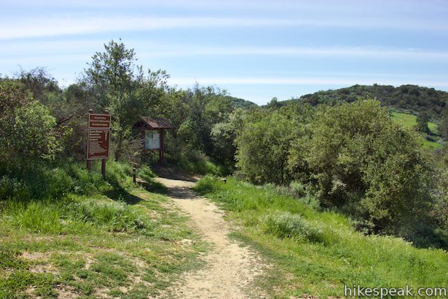
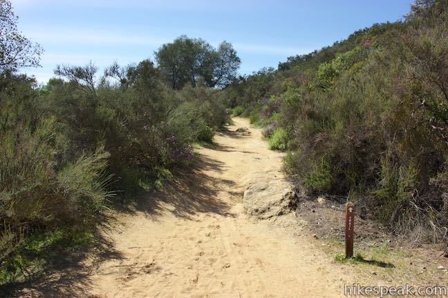
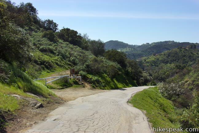
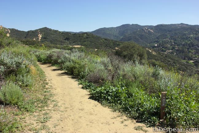
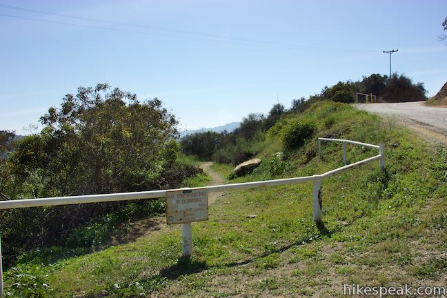
Start from Viewridge Trailhead at the end of Viewridge Road, half a mile from Topanga Canyon Boulevard between Topanga and Woodland Hills. This trailhead is 1.2 miles from the main trailhead for Summit Valley Edmund D. Edelman Park, where other hikes begin. On the south side of the road, you’ll spot a sign and a kiosk at the top of Viewridge Trail, which is also called Santa Maria Canyon Trail. Just before the big park sign, a path breaks off to the left. While Viewridge Trail descends gradually along the side of a ridge, this path climbs to the top of the ridge and makes a steep descent to rejoin Viewridge Trail. This route is a third of a mile long, and can be used as an alternative to replace the first 0.2 miles of Viewridge Trail.
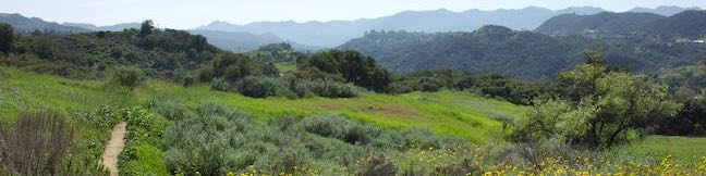
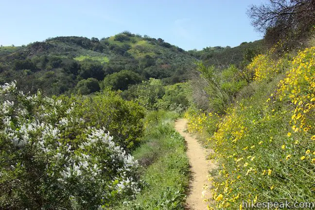
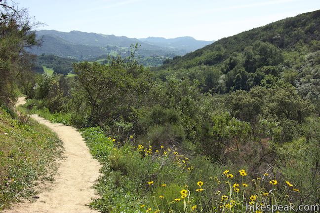
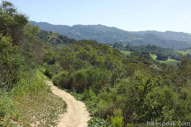
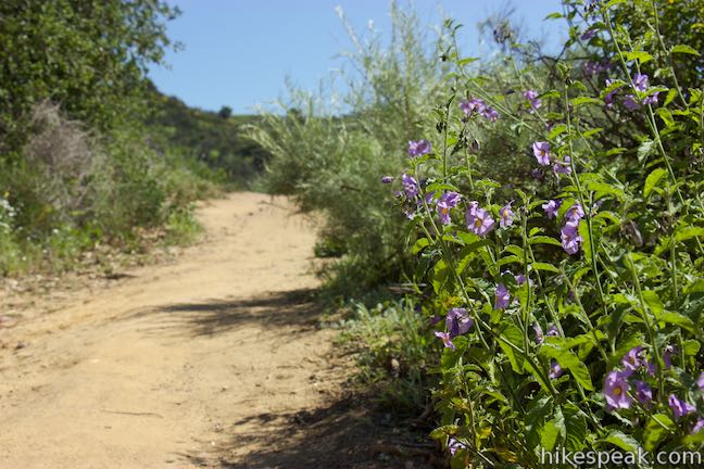
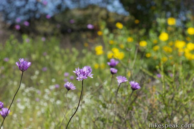
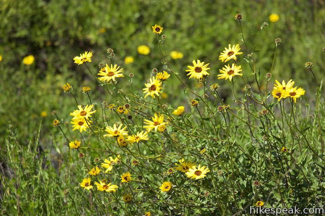
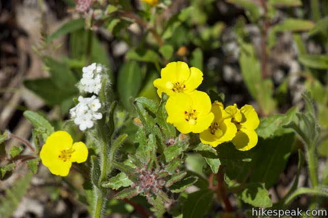
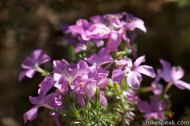
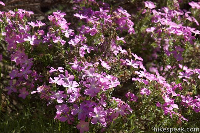
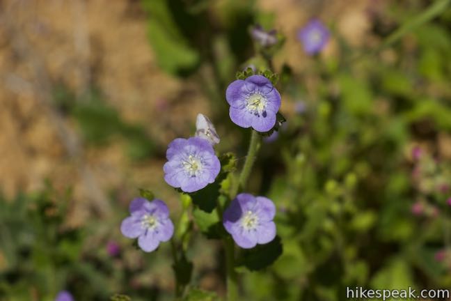
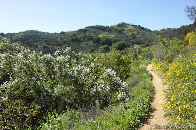
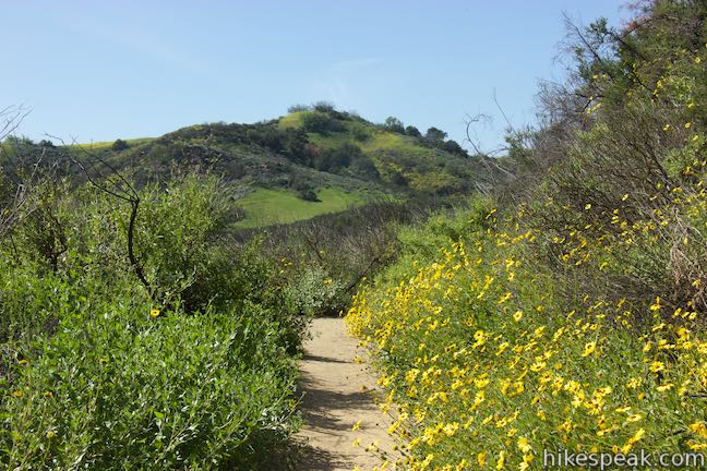
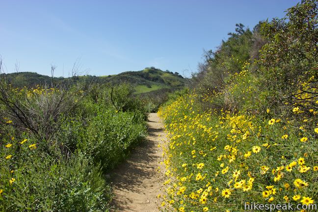
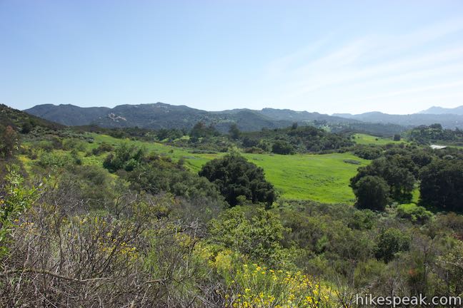
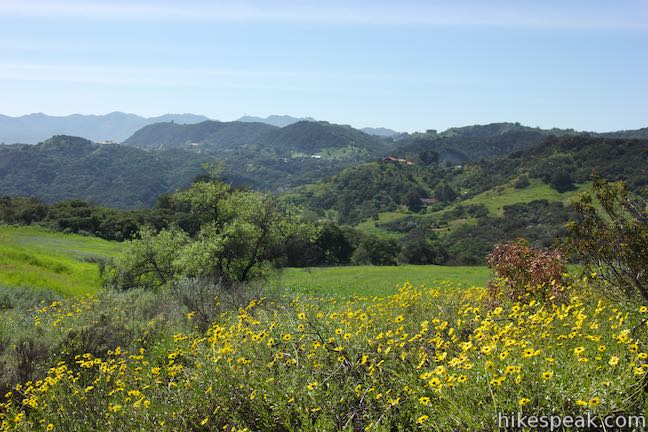
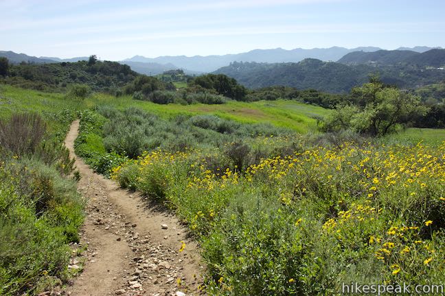
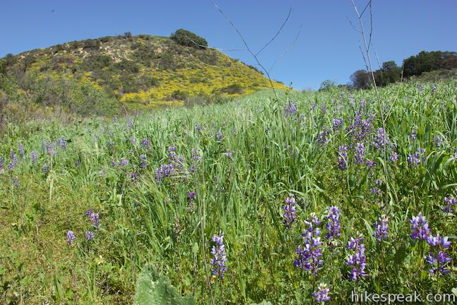
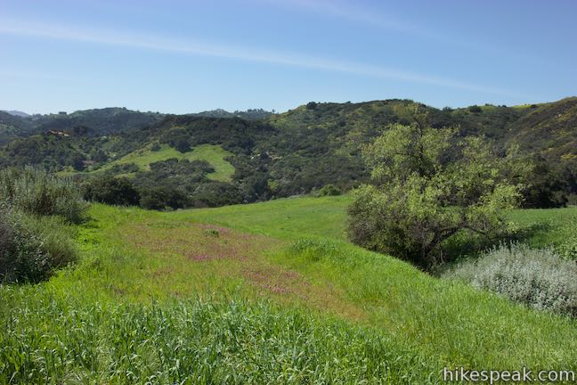
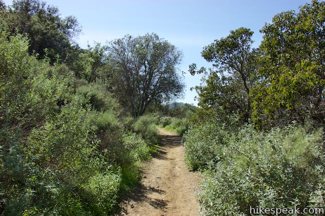
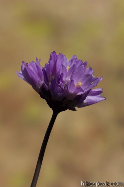
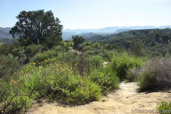
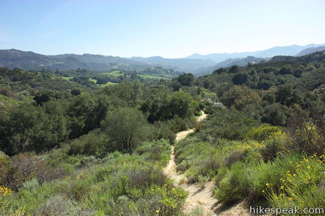
Set out down Viewridge Trail, traveling down the east side of a wooded canyon. In early spring, the trail is framed by the bright yellow of bush sunflowers. At 0.2 miles from the start, bear right through an unmarked junction with the path coming down over the top of the ridge. The trail continues downhill toward an oak grove. Bear left past a footpath that drops into the canyon and come alongside some large oak trees. The trail dips across a creekbed and heads uphill to a crest with nice views down the canyon toward Topanga. During the spring wildflower bloom, this sunny crest is burst of colors where purple nightshade, blue dicks, prickly phlox, and bush sunflowers flourish.

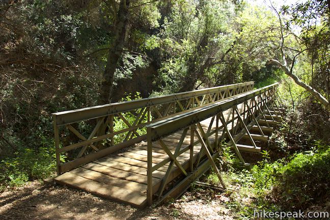
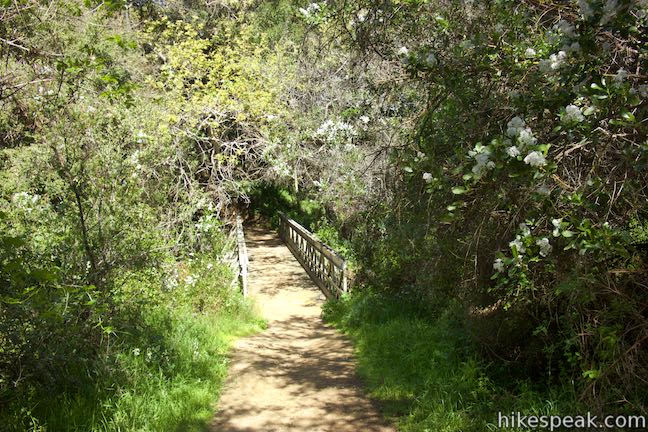
Descending again, the trail comes to a sharp right bend, 0.45 miles from the start. A sign directs you to turn right as another path breaks off to the left. Viewridge Trail ventures through more chaparral to return to a dense grove of oaks. At the back of this grove, just over half a mile from the start, the trail crosses a ravine on a wood and metal bridge that was added in 2000.
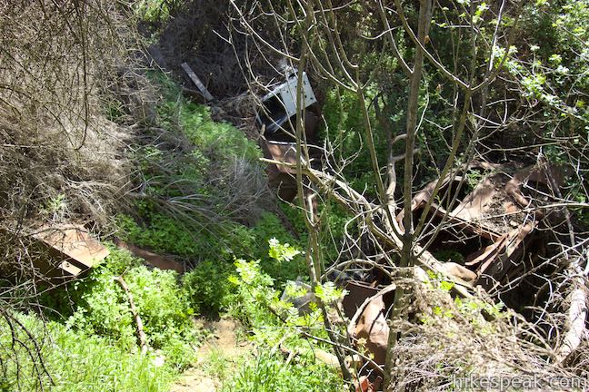
As you ascend from the bridge and the trail curves to the left, look below the trail on the right to see a rusting old car and some other discarded metal. It’s hard to picture, but this route was once wide enough for vehicles.
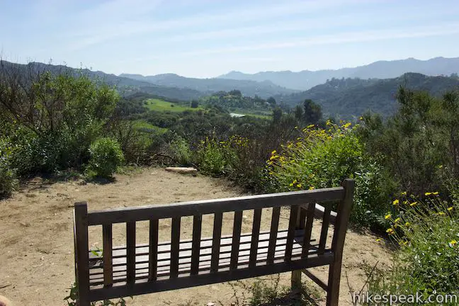
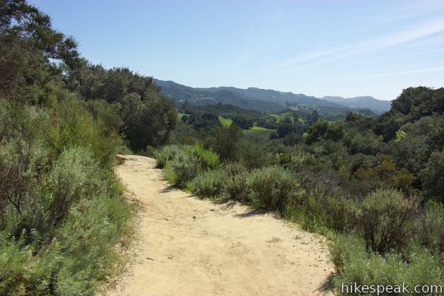
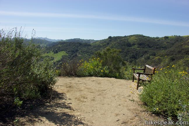
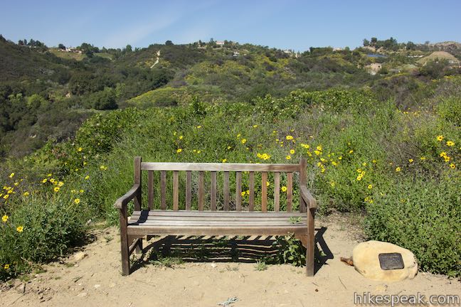
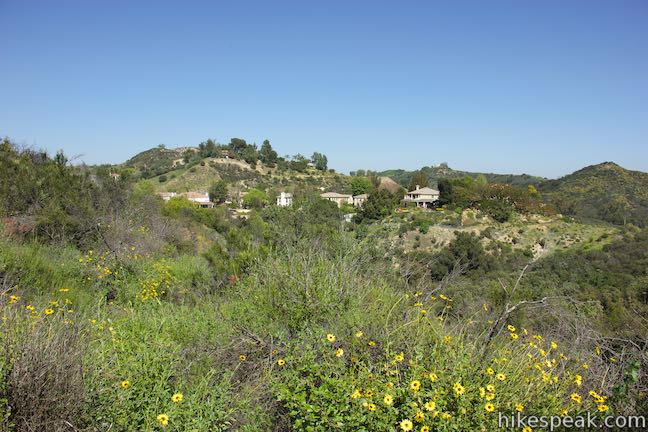
After 0.75 miles, Viewridge Trail comes to another scenic crest where a short path on the right leads out to a viewpoint. Have a seat on a well-placed bench and look down toward Topanga and the surrounding mountains. Turn around and you can look back up the canyon that the trail has traveled down so far.
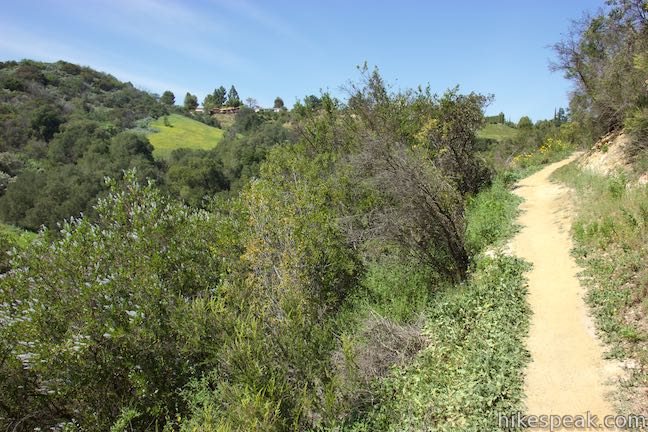
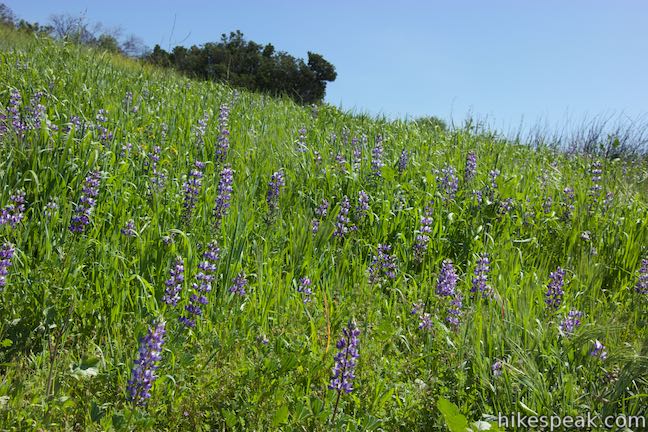
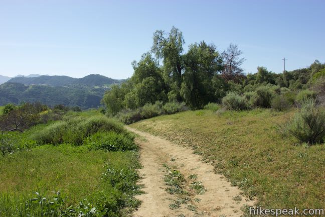
Moving on, Viewridge Trail descends through more chaparral, including bush sunflowers and chamise. The trail curves south, passing a large tree to venture down a grassy slope. Lupines bloom among the grasses in early spring over this last stretch of Viewridge Trail.
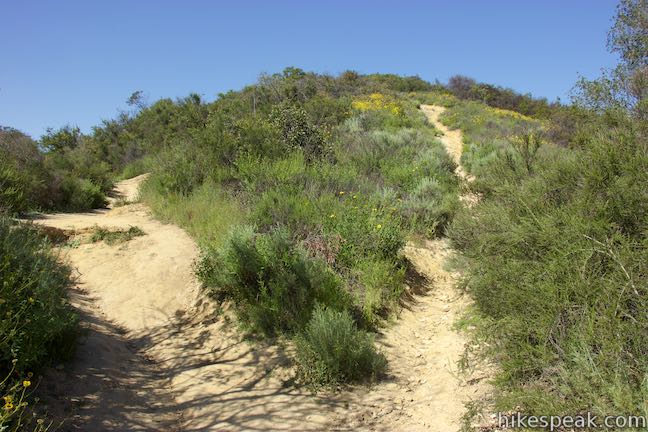
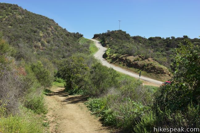
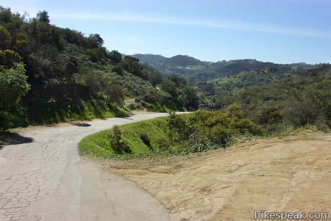
At 1 mile from the start, Viewridge Trail terminates at Santa Maria Road. But wait, the hike doesn’t have to end here! Turn right down the paved road and come to the start of Summer Hill Ranch Road, a dirt trail on the left. Head up this trail, which wraps around a hill to reach a fantastic overlook before returning to Santa Maria Road, 0.2 miles to the east.
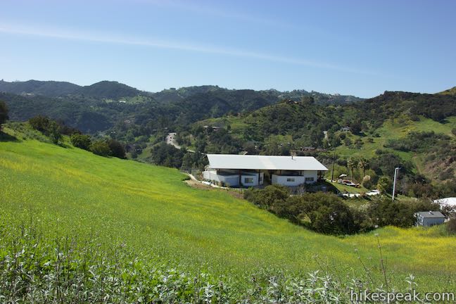
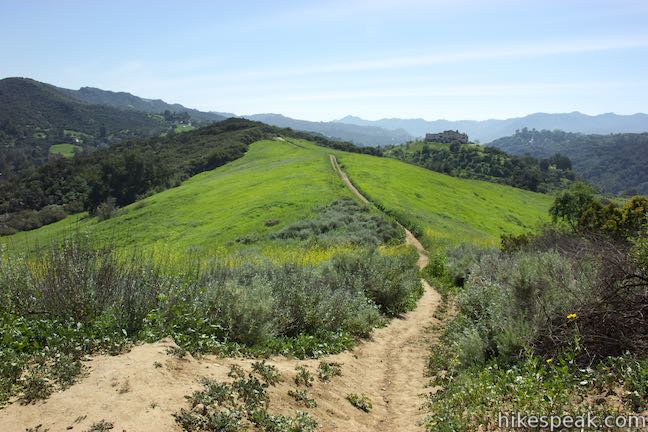
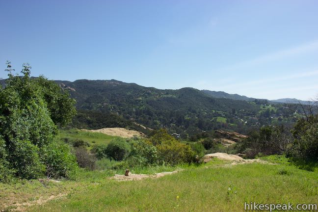
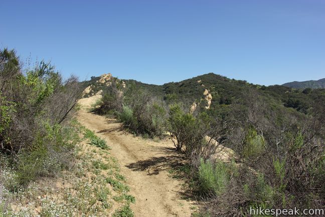
As Summer Hill Ranch Road gets underway, you can look to the right over a barn on the hillside below. As the trail progresses, there are broader views looking south toward Topanga. After 0.2 miles, a path breaks off the trail to the right, heading down a ridge to the south. While this path looks very tempting, it is not the route to Canyon Overlook. Stay to the left on Summer Hill Ranch Road, which quickly comes to the spur paths that lead down to Canyon Overlook.
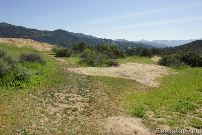
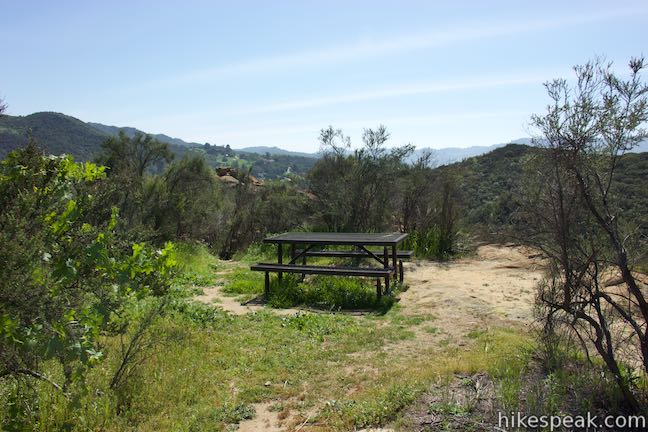
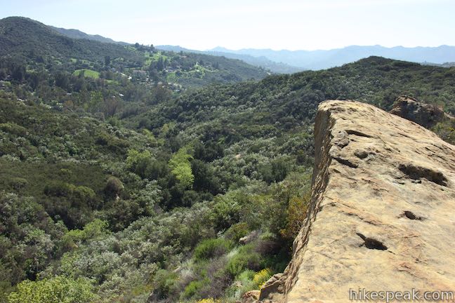
At a quarter mile from the beginning of Summer Hill Ranch Road and 1.3 miles from the start of the hike, descend any of a few paths going down to the right toward Canyon Overlook where there is a picnic table and some inviting-looking outcroppings on a landing below the trail.

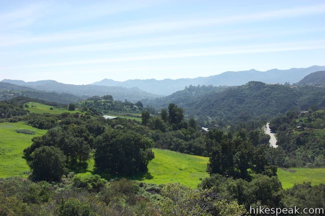
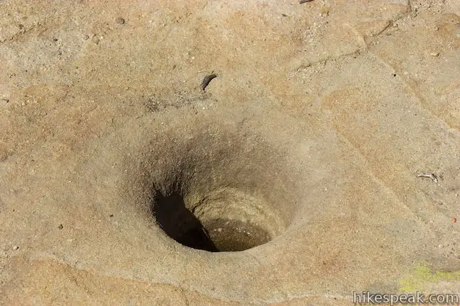
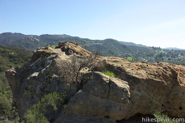
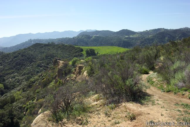
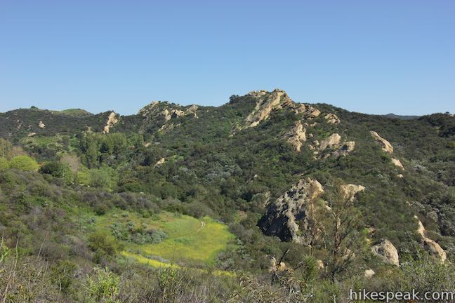
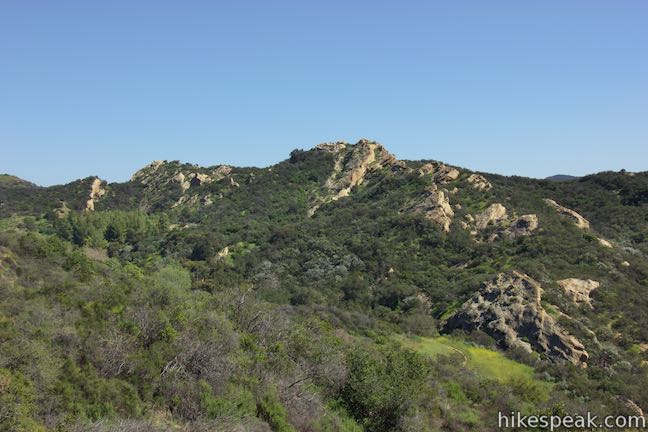
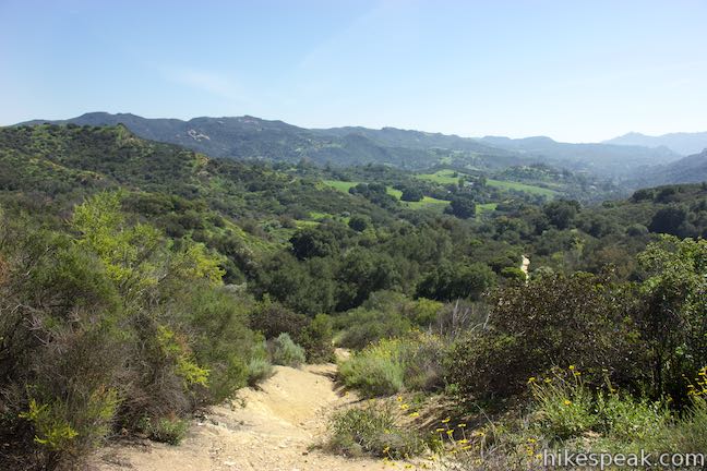
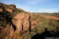
As you walk toward the picnic table, look down and you may spot what appears to be a mortero, an old Native American grinding hole carved into the bedrock. A cluster of boulders just south of the picnic table look primed for climbing. For easier access to the area’s views, bear left at the picnic table and walk up onto a line of sandstone. While the rock looks unassuming from this side and you can easily walk right up onto it, there is a sheer drop on the other side of the sandstone fin. Enjoy sweeping, unobstructed views from Canyon Overlook.
Look south down the canyon toward Topanga. The mountains in Topanga State Park are visible to the southeast and the tower on the summit near Topanga Lookout can be seen to the southwest. It is an impressive view over this part of the Santa Monica Mountains.
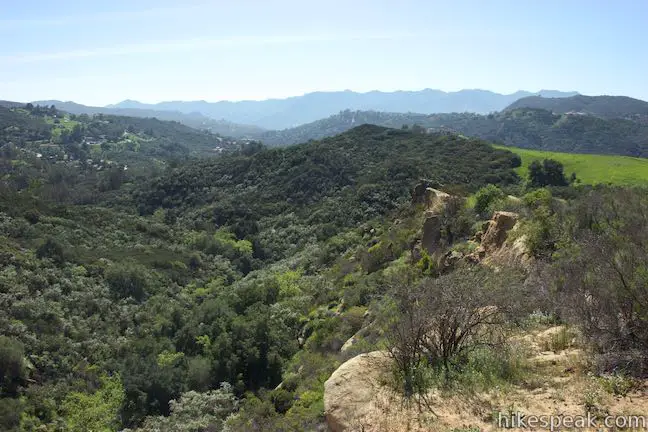
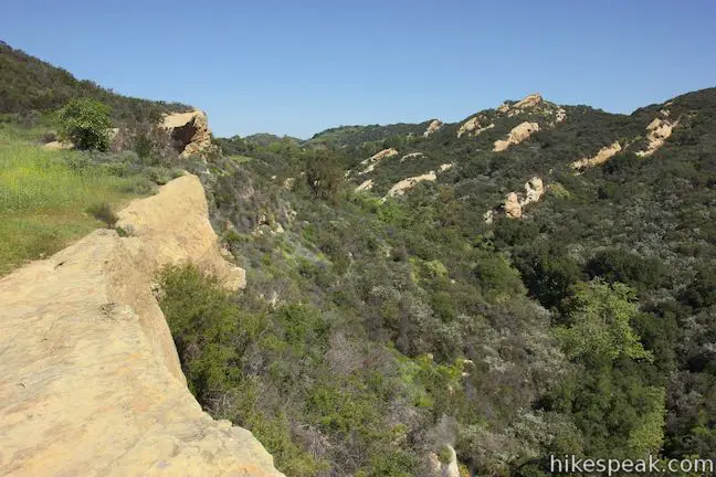
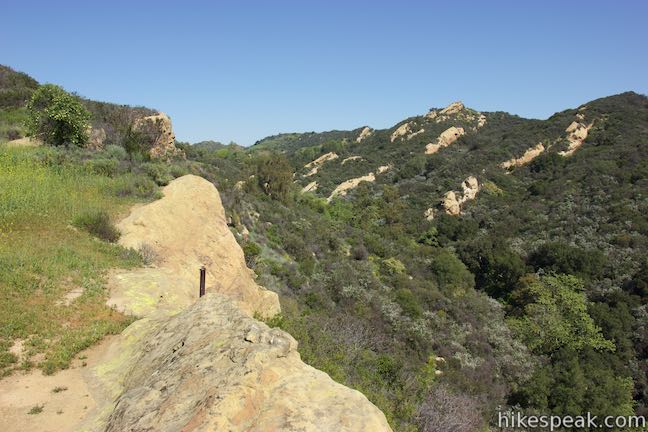
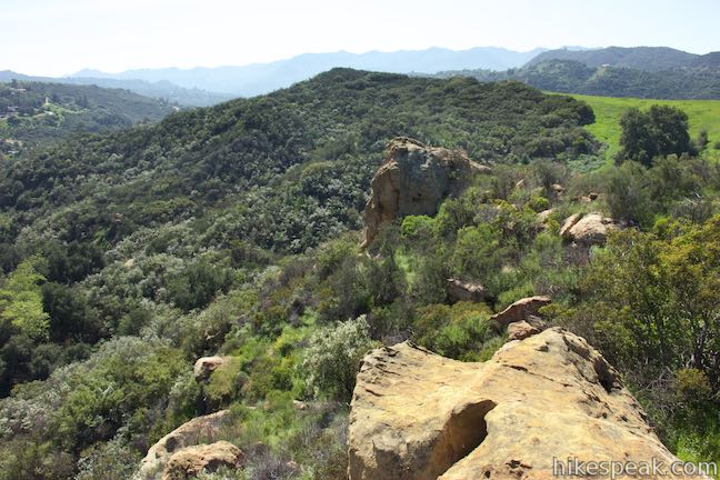
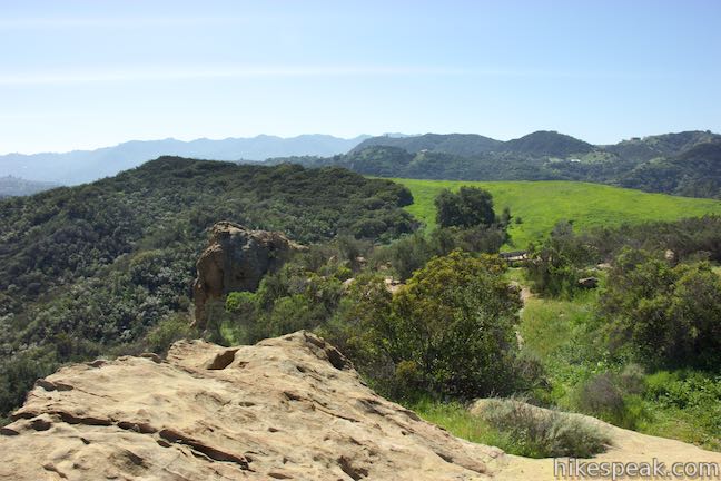
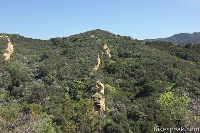
Look uphill from the overlook and spot another perch along the same line of sandstone. You can take a few paths to get up there or walk back to Summer Hill Ranch Road to find a level trail out to the higher overlook. As you take in a great perspective over the lip of Canyon Overlook and enjoy broader views down the canyon to the south, your eyes will also be drawn to interesting rock formations across the small canyon from the overlook.
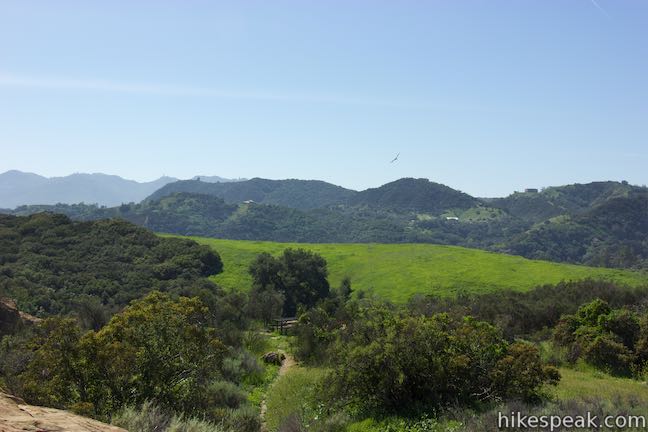
From the higher overlook, a path heads north and drops into the canyon to the east. This path could be fun to explore if you have extra time. Otherwise, return to Summer Hill Ranch Road and continue with the loop. Hike a hundred yards up the trail, pass a path on the right and another on the left to venture up to Santa Maria Road. Depending on how much exploring you do at Canyon Overlook, you will reach the end of Summer Hill Ranch Road at around 1.85 miles from the start of the hike. Bear left and hike up over a rise on Santa Maria Road.
On the other side of the hill, you will spot the bottom of Viewridge Trail. Return to the trail at 2 miles from the start, after completing a 1-mile loop over Santa Maria Road, Summer Hill Ranch Road, and the paths to Canyon Overlook. Hike back up Viewridge Trail to complete this 3-mile lollipop loop hike.
No permit is required to hike on Viewridge Trail or Summer Hill Ranch Road. Unlike the main trailhead for Summit Valley Edmund D. Edelman Park, there is no fee to park at Viewridge Trailhead. Dogs, bikes, and horses are all allowed on Viewridge Trail and Summer Hill Ranch Road, so get out and enjoy!
Directions to the Trailhead
- Take Topanga Canyon Boulevard (Route 27) to Viewridge Road, which is on the east side of Topanga Canyon Boulevard, 3.5 miles south of the 101 Freeway and 9 miles from Pacific Coast Highway.
- Drive up Viewridge Road for 0.5 miles to the end of the road.
- The start of the trail is on the right, across from Summit Pointe Estates.
- Roadside parking is plentiful.
Trailhead Location
Trailhead address: Viewridge Road, Topanga Canyon, CA 90290
Trailhead coordinates: 34.133, -118.59172 (34° 07′ 58.80″N 118° 35′ 30.19″W)
You may also view a regional map of surrounding Los Angeles trails and campgrounds.


Alternate starting route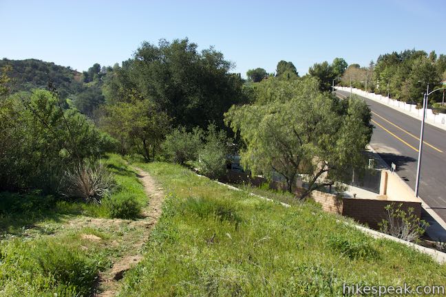
 | Summit Valley Edmund D. Edelman Park This park's main area offers a relatively easy 1.65-mile loop and a slightly tougher 2-mile loop that ascends to Summit to Summit Motorway and provides loftier views over Summit Valley in Upper Topanga Canyon. |
 | Vanalden Cave This 0.6-mile round trip hike visits a unique sandstone cave that you can stand inside and above. The hike can be extended to 1.55 miles round trip to visit a nearby vista point with a panoramic perspective of the Santa Monica Mountains. |
 | Eagle Rock from Trippet Ranch This 4.5-mile loop takes Musch Trail and Eagle Springs Fire Road to visit an exceptional sandstone summit in Topanga State Park. |
 | Parker Mesa Overlook from Trippet Ranch This 6.7-mile round trip hike heads up to an incredibly scenic overlook from Topanga State Park's main trailhead. |
 | Hondo Canyon This section of the Backbone Trail crosses fields of grains and forests of bays, climbing 1,550 feet over 3.8 miles to a small ocean view. Extend the hike to Topanga Lookout for an incredible perspective over the Santa Monica Mountains. |
 | Red Rock Canyon The trails in the beautifully sculpted Red Rock Canyon are 2.5 and 5.2 miles in length. |
 | More trails in the Santa Monica Mountains Explore other destinations in the range. |
- Viewridge Trail (Santa Maria Canyon Trail) on trails.lacounty.gov (opens in a new tab)
- A video of Viewridge Trail by the Mountains Recreation and Conservation Authority on youtube.com (opens in a new tab)
- The official directions and trail map for Summit Valley Edmund D. Edelman Park (opens in a new tab)
- The official MRCA webpage for Summit Valley Edmund D. Edelman Park (opens in a new tab)
- Summit Valley Edmund D. Edelman Park on mtbproject.com (opens in a new tab)
Common Questions about Viewridge Trail and Summer Hill Ranch Road in Summit Valley Edmund D. Edelman Park in the Santa Monica Mountains
- Is the trail open?
- Yes. You should expect to find that Viewridge Trail to Canyon Overlook is open. There are no recent reports of trail closures. If you discover that the trail is closed, please help your fellow hikers by reporting a closure.
- Is this trail free to access?
- Yes, Viewridge Trail to Canyon Overlook is free to access. No entrance fee, pass, or permit is required. If you discover that access rules have changed, please provide feedback on your experience.
- How much time does this hike take?
- It takes approximately 1 hour 15 minutes to hike Viewridge Trail to Canyon Overlook. Individual hiking times vary. Add extra time for breaks and taking in the views.
- How long is this hike?
- The hike to Viewridge Trail to Canyon Overlook is a 3 mile lollipop loop with 225 feet of elevation change.
- Are dogs allowed on this trail?
- Yes, dogs are allowed on Viewridge Trail to Canyon Overlook. The trail is open to hikers, bikes, dogs, horses.
- What mountain range is this trail in?
- Viewridge Trail to Canyon Overlook is located in the Santa Monica Mountains.
- Where is the trailhead located?
- The trailhead for Viewridge Trail to Canyon Overlook is located in Topanga, CA.
Trailhead Address:
Viewridge Road
Topanga, CA 90290
Trailhead Coordinates:
34.133, -118.59172 - What are the driving directions to the start of the hike?
To get to the trailhead: Take Topanga Canyon Boulevard (Route 27) to Viewridge Road, which is on the east side of Topanga Canyon Boulevard, 3.5 miles south of the 101 Freeway and 9 miles from Pacific Coast Highway. Drive up Viewridge Road for 0.5 miles to the end of the road. The start of the trail is on the right, across from Summit Pointe Estates. Roadside parking is plentiful.
View custom Google Maps directions from your current location.
- Are there other trails near Viewridge Trail to Canyon Overlook?
- Yes, you can find other nearby hikes using the Hikespeak Hike Finder Map.

Go the extra miles...
Submit a rating of this hike to go with your comment. Contribute to the average trail rating.