While it is one of the more inland hikes in Morro Bay State Park, the loop formed by connecting Chumash Trail, Crespi Trail, and Hutash Trail delivers ample coastal views as it leads to a lovely grove of coast live oaks. This lollipop loop covers 2.9 miles with 420 feet of elevation change. Hutash Trail can be trimmed from the circuit to lower the round trip distance to 2.55 miles and reduce the total elevation change to 280 feet.
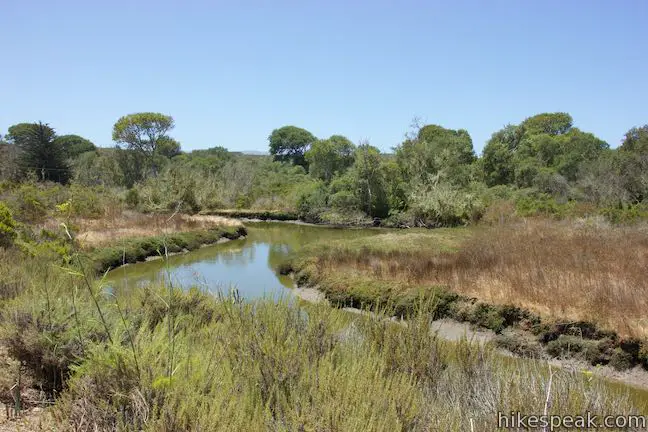
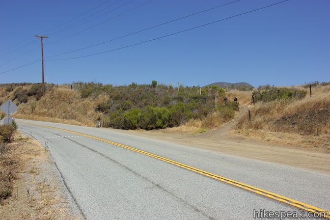
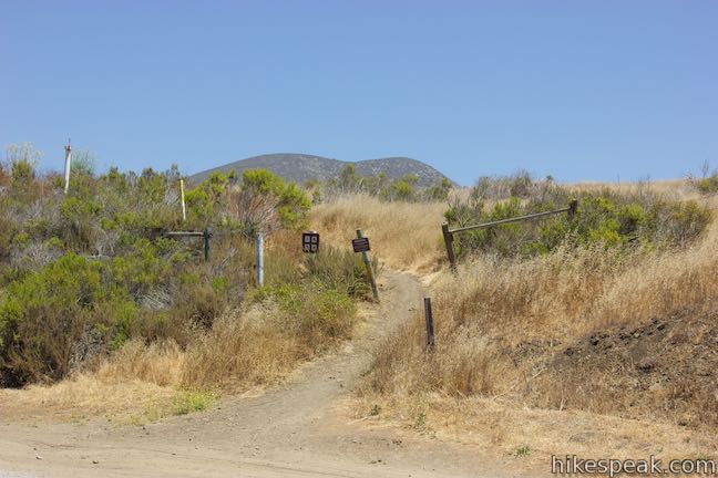
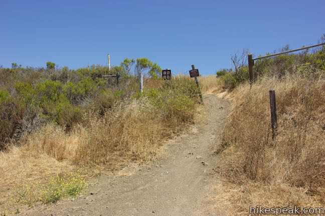
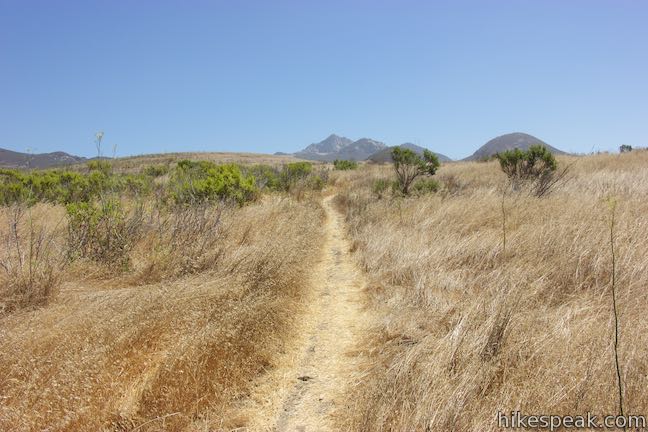
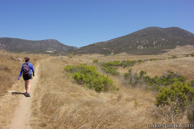
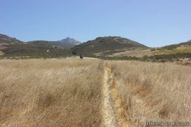
Begin from a dirt turnout on Turri Road, half a mile inland from South Bay Drive and just across from the meandering waters of Los Osos Creek. Spot a sign for Chumash Trail and march up an embankment into Morro Bay State Park. The trail levels out as you make your way north across a grass field. After less than a hundred yards, you will come to an unmarked split. A shortcut path parts to the right that can be used to trim off part of Chumash Trail and the opening of Crespi Trail. Continue straight on Chumash Trail to stick with the main route.
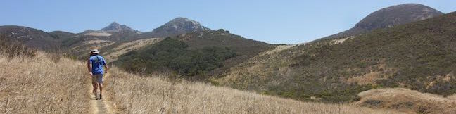
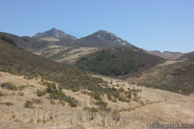
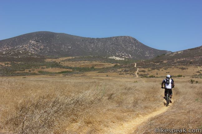
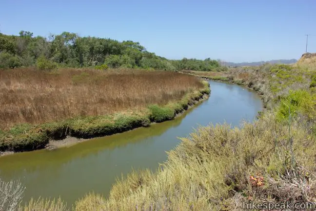
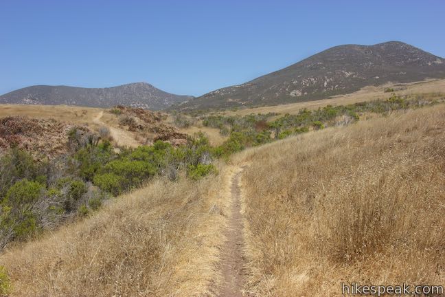
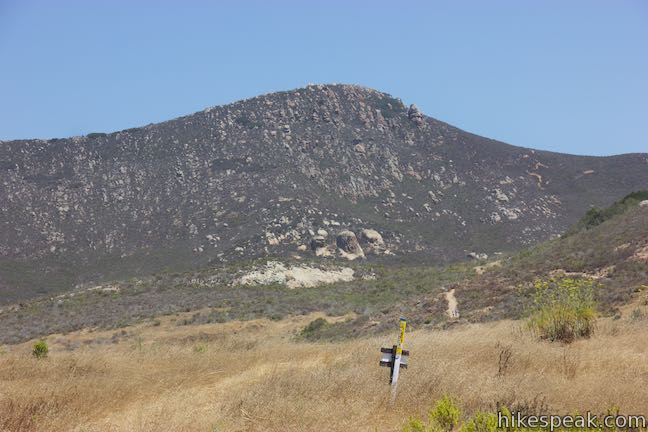
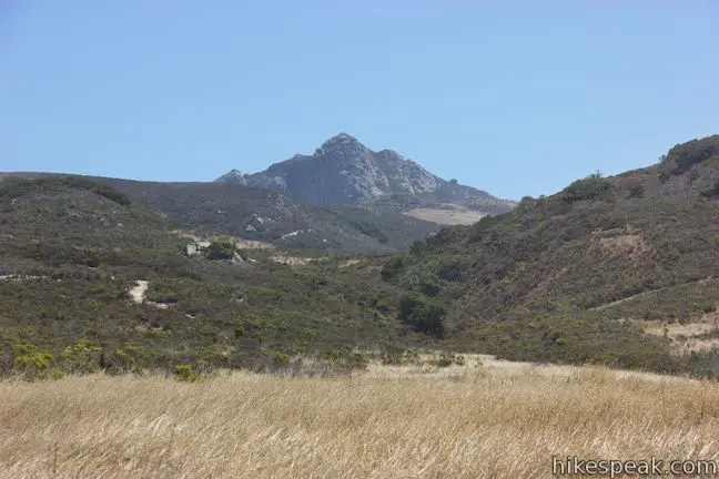
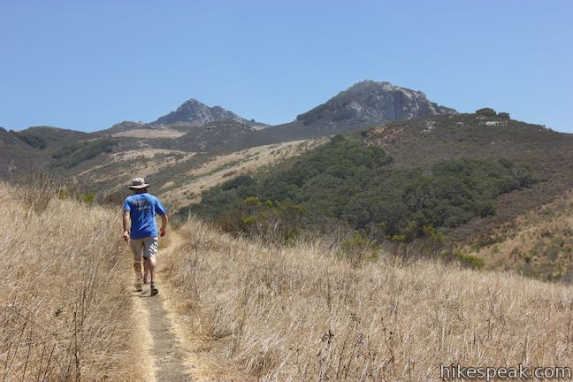
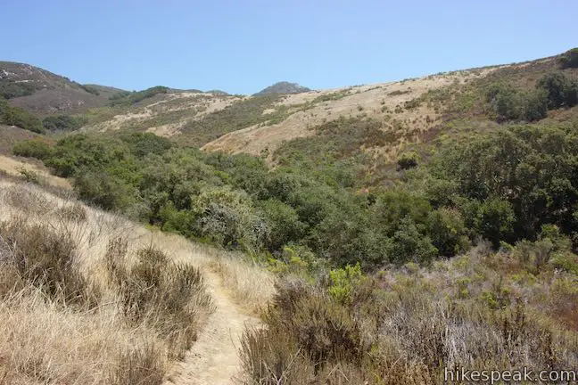
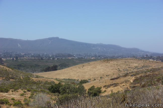
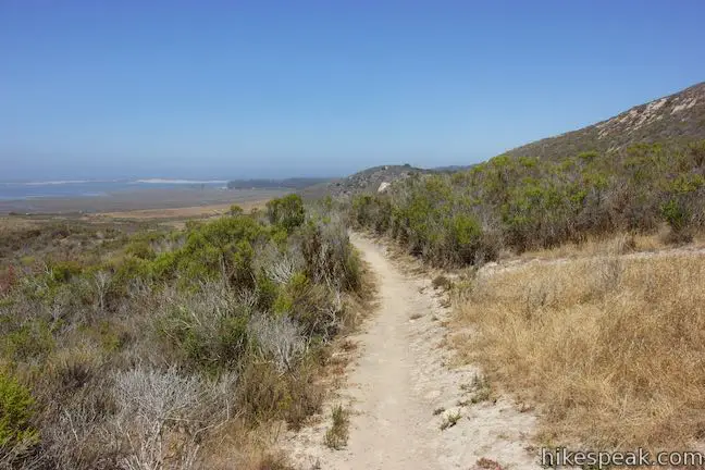
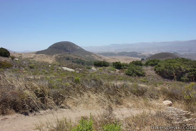
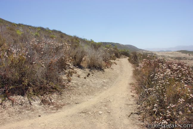
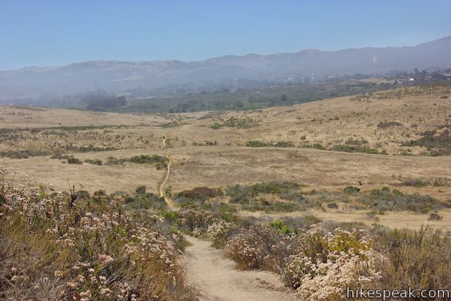
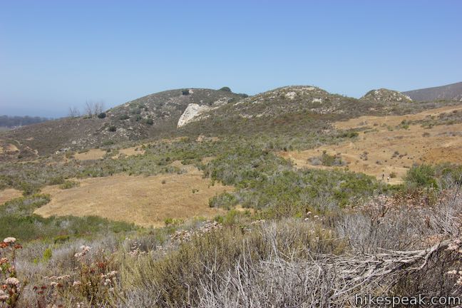
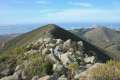
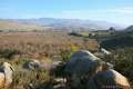
To your left, you’ll find a perspective down Los Osos Creek toward South Bay Drive. In front of you rises Cerro Carrillo, with slopes punctuated by large boulders like Tiki Rock. The trail makes its way through brush and dips across a gully before returning to open grassland.
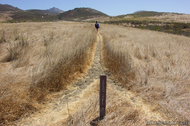
You will have hiked less than half a mile when you come to a marked junction where the loop begins. In order to face the bay views on the second half of the loop, do yourself a favor and turn right on Crespi Trail. Tackle the circuit in a counterclockwise direction and set out east toward the oak grove.
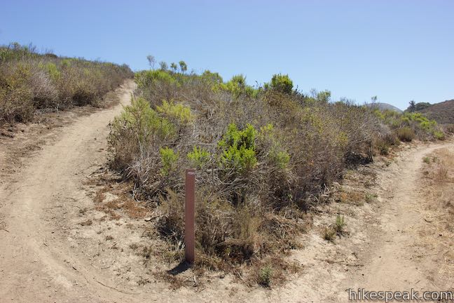
After just a tenth of a mile on Crespi Trail, you will come to a split with no trail signs. Bypass Trail branches off to the left and omits the oak grove. Bear right to remain on Crespi Trail. A short distance after that, proceed straight through a junction with the other end of the shortcut path that you passed near the start of Chumash Trail.
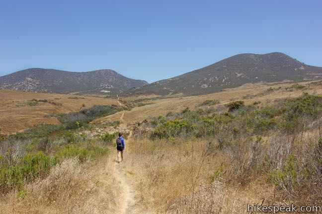
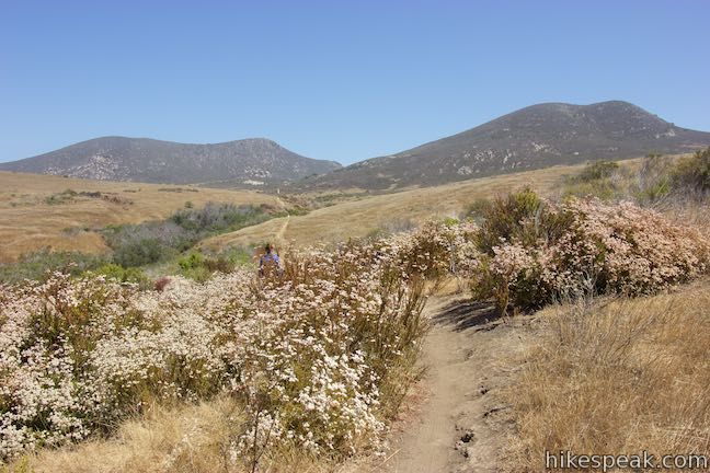
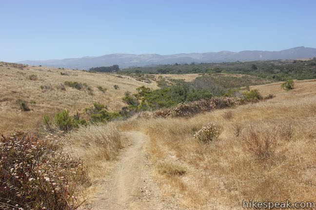
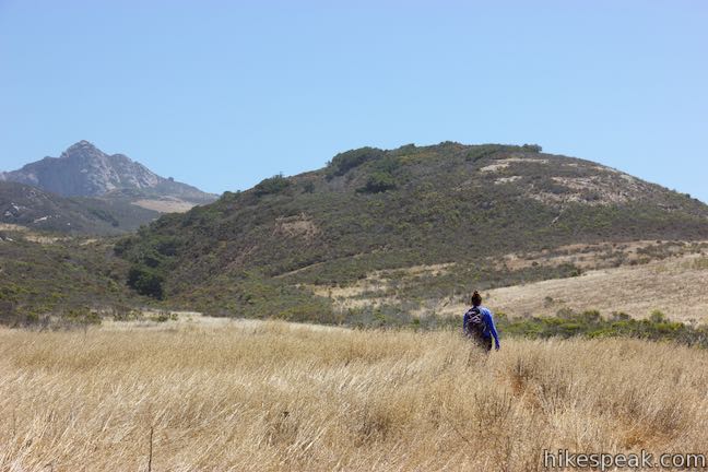
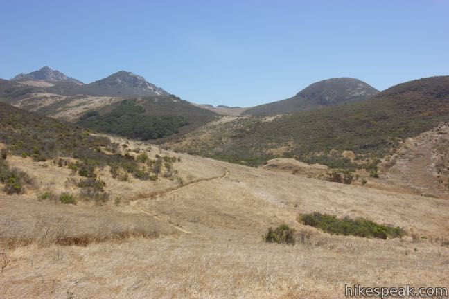
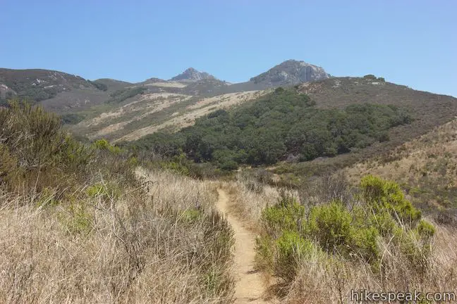
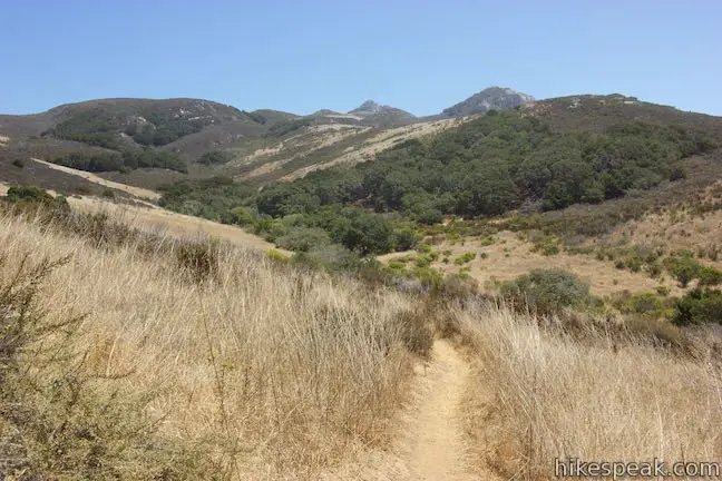
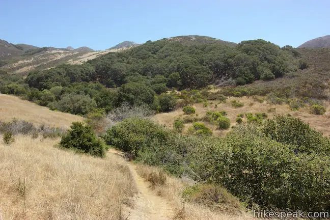
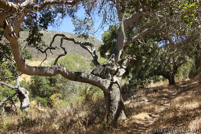
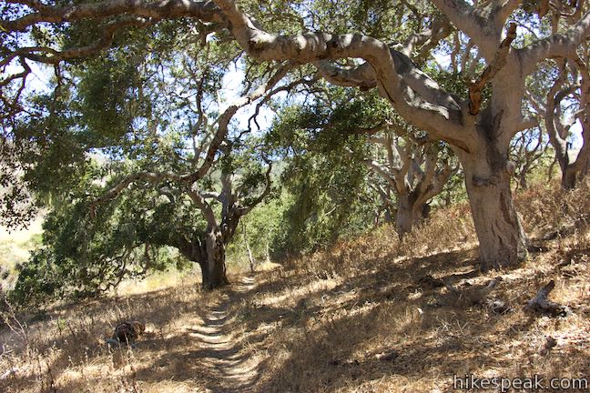
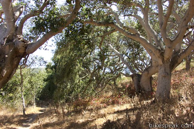
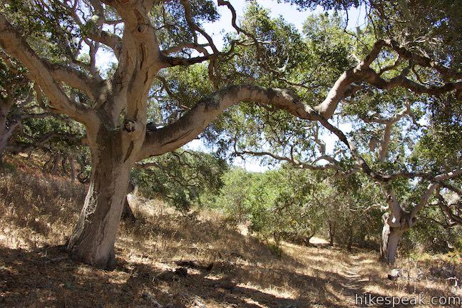
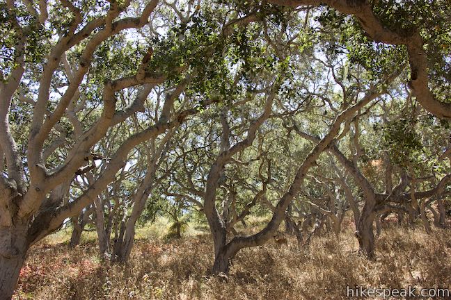
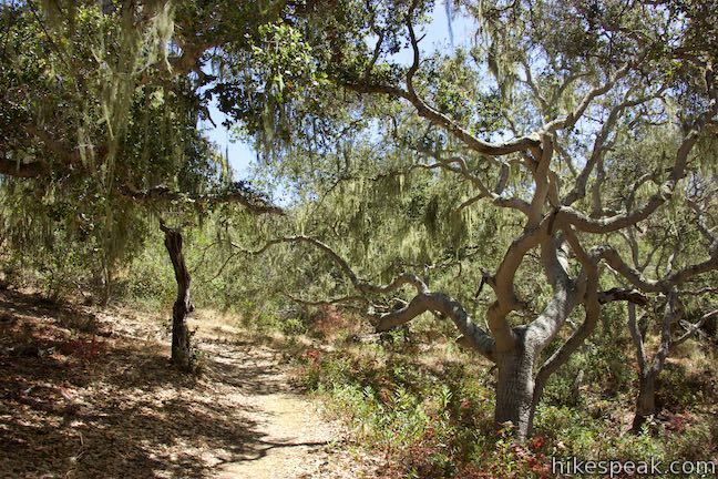
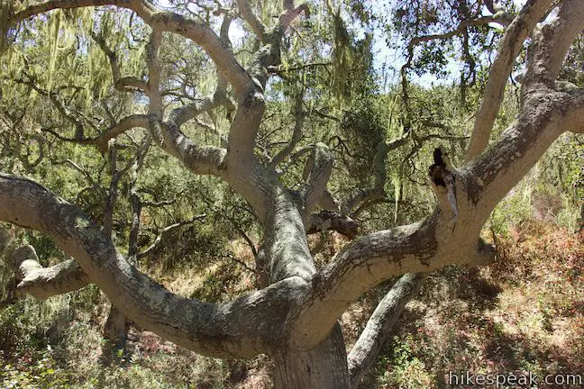
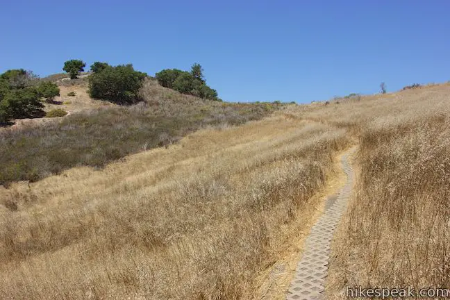
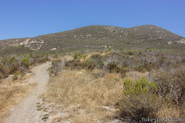
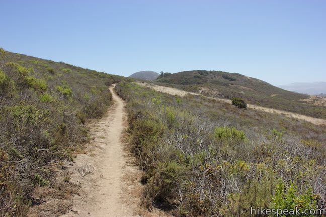
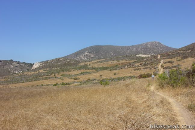
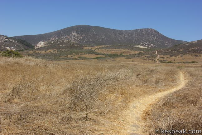
Admire Hollister Peak as you make your way east across rolling grassland. Below the ridges in front of the peak, you’ll spot an oak grove. After a couple gentle rises, the trail turns downhill. Cross the bottom of a valley and slip into the oak grove, a mile from the trailhead. Pass through pools of sunlight that penetrate the canopy of massive oaks. This tucked-away grove appears to receive few visitors and is a true highlight of the hike.
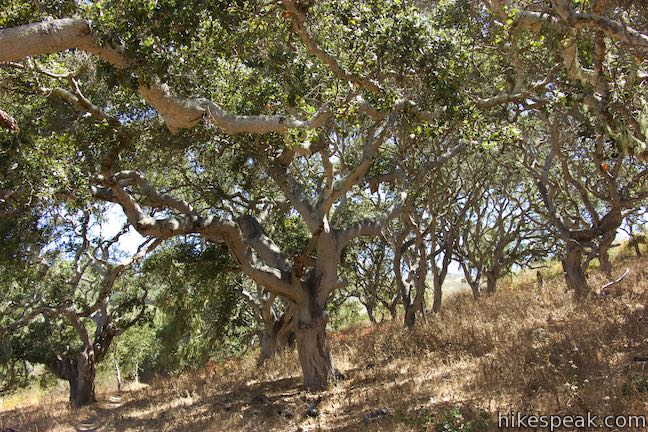
Relax in the shade of this tranquil retreat and then proceed across a dry creek bed. Follow the trail through a sharp bend to the left that leads to the exit of the oak grove.
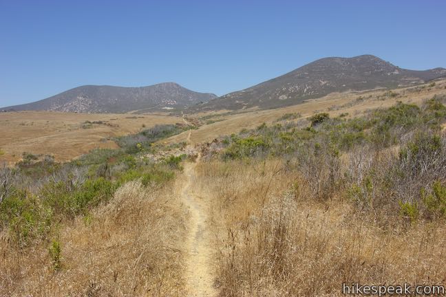
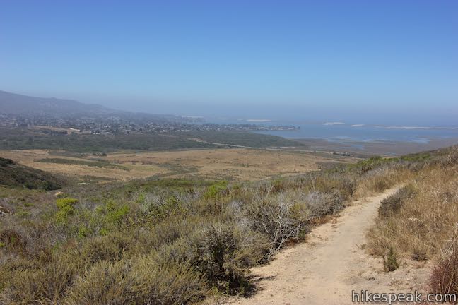
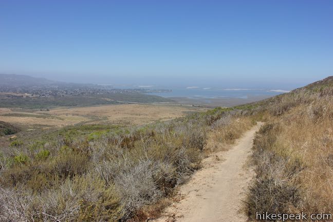
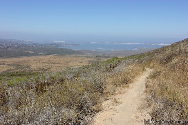
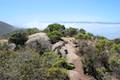
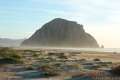
Crespi Trail heads west now, gradually ascending a grassy slope above the trail you took into the grove. At the top of this slope, the trail crosses over a notch in the terrain. Reaching the other side, you will discover delightful views west toward Morro Bay. Morro Rock will be visible rising over the north side of the bay.
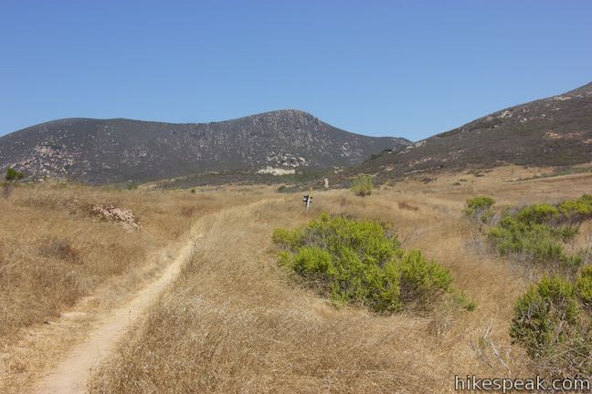
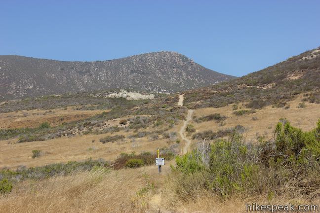
Slip through sagebrush as the trail turning downhill and weaves around a draw in the terrain. Come to an important unmarked junction, 1.43 miles from the start of the hike. Hutash Trail ascends to the right, rising to higher ground with the loop’s best bay views. Hutash Trail reconnects with Crespi Trail after gaining 152 feet and descending 192 feet over 0.54 miles, replacing an easier 0.19-mile long section of Crespi Trail.
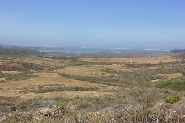
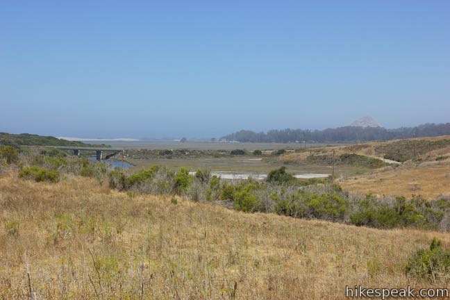
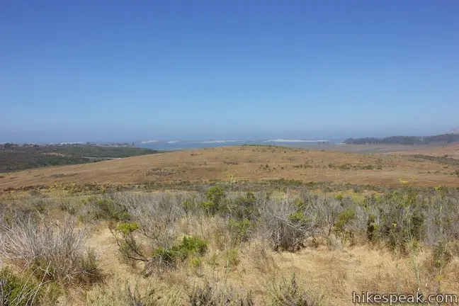
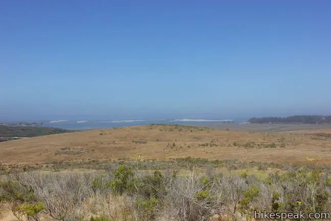
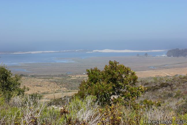
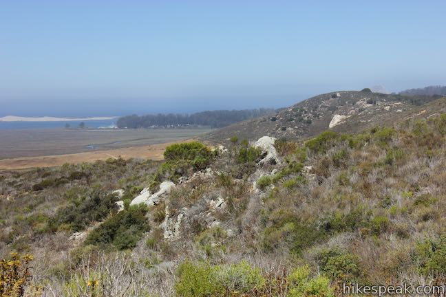
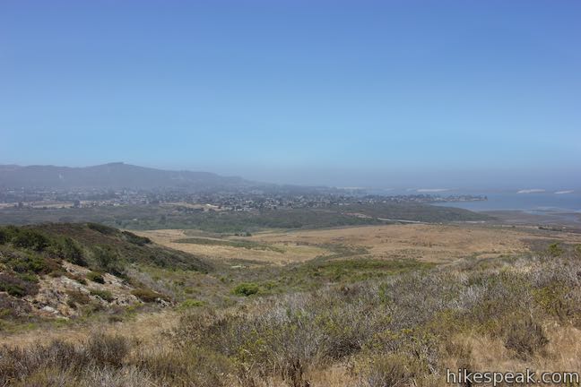
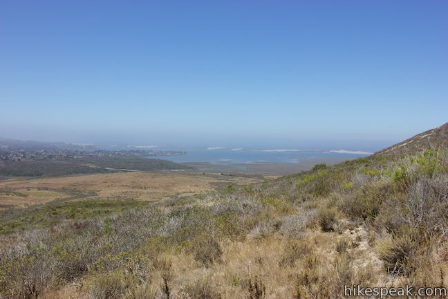
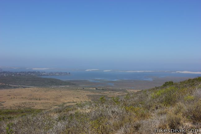
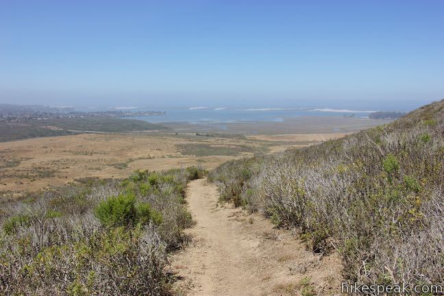
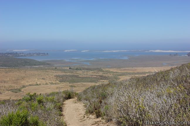
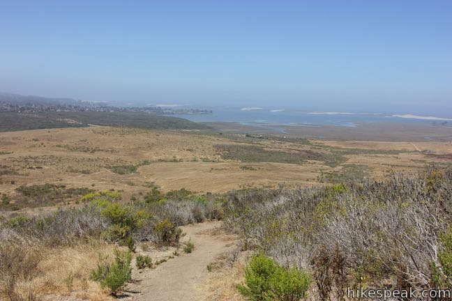
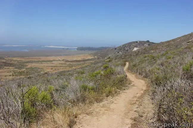
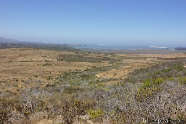
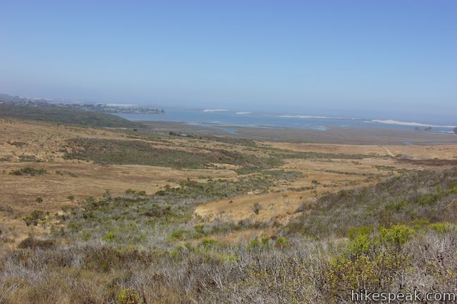
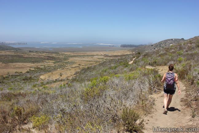
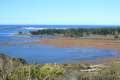
Turn right up Hutash Trail and make your way farther up the slopes of a hill on Park Ridge. Cross a 437-foot high point and weave downhill again. Enjoy the broadest views out over the tidal estuary of Morro Bay and south toward the town of Los Osos, which is backed by the mountains of Montaña de Oro State Park.
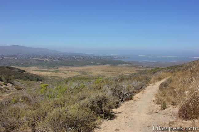
Take the second half of Hutash Trail back down to Crespi Trail. Turn right and hike west to a 4-way intersection. You will be facing the back of Portola Hill (which provides its own views over Morro Bay). Look to your right to admire Tiki Rock on Cerro Cabrillo and then turn left to hike south down Chumash Trail.
Chumash Trail goes quickly downhill and crosses a dip with bay views on your right. Make your way across gentle grassland and pass through the initial junction with Crespi Trail. Close the loop and proceed straight on Chumash Trail to return to Turri Road and complete the 2.9-mile hike.
The basic directions for this hike are:
- Hike up Chumash Trail from Turri Road (0 miles)
- Turn right onto Crespi Trail (0.45 miles)
- Bear right to stay on Crespi Trail through a split with Bypass Trail (0.55 miles)
- Pass through an oak grove at the east end of the loop (1.05 miles)
- Bear right up Hutash Trail or continue straight on Crespi Trail (1.43 miles)
- Return to Crespi Trail and turn right (1.97 miles)
- Turn left down Chumash Trail (2.15 miles)
- Hike back to Turri Road, passing the other end of Crespi Road (2.9 miles)
Bikes are welcome on these trails in Morro Bay State Park, but dogs are not. For other nearby hikes, consider Black Hill, Cerro Cabrillo, Portola Point, Turtle Rock, or the Elfin Forest. No permit is required for this hike and parking at the trailhead is free, so get out and enjoy!
Directions to the Trailhead
- From Highway 1 in Morro Bay, take exit 277, following signs for Los Osos and Baywood Park.
- Drive south on South Bay Boulevard for 2 miles to an intersection with Turri Road.
- Turn left and drive half a mile.
- Park in a dirt turnout on the left side of the road where Chumash Trail begins.
- From Los Osos, drive north on South Bay Boulevard for 1.9 miles to Turri Road.
- Turn right and drive half a mile to the trailhead parking on the left.
- From Highway 101 south of San Luis Obispo, take exit 200A onto Los Osos Valley Road and drive 6.8 miles west.
- Turn right onto Turri Road and drive 4.1 miles to the dirt turnout.
- The turnout is on the right.
- Park and find the start of Chumash Trail.
Trailhead Location
Trailhead address: 1674 Turri Road, San Luis Obispo, CA 93405
Trailhead coordinates: 35.3315, -120.81645 (35° 19′ 53.39″N 120° 48′ 59.22″W)
View Morro Bay State Park in a larger map
Or view a regional map of surrounding Central Coast trails and campgrounds.


 | Portola Point This 2-mile loop explores a short hill just east of Morro Estuary in Morro Bay State Park. |
 | Cerro Cabrillo This tough 2.5-mile hike summits the highest mountain in Morro Bay State Park, a 911-foot member of the Nine Sisters. |
 | Turtle Rock This easy 2.1-mile hike reaches a short rise between Black Hill and Cerro Cabrillo in Morro Bay State Park. |
 | Black Hill This short 0.6-mile out and back hike ascends 175 feet to the summit of Black Hill, which presents 360-degree views over Morro Bay. |
 | Morro Rock via Morro Strand Trail This level one to 3.5-mile round trip hike starts from Cloisters Park and crosses Morro Strand State Beach to reach Morro Rock. |
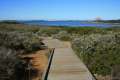 | Elfin Forest Natural Reserve This easy 1-mile loop on a boardwalk explores a pygmy forest on the edge of Morro Bay. |
 | More hikes in San Luis Obispo Explore other trails around San Luis Obispo including Montaña de Oro State Park and the Morros. |
Common Questions about Chumash Trail – Crespi Trail – Hutash Trail Loop in Morro Bay State Park
- Is the trail open?
- Yes. You should expect to find that Chumash Trail - Crespi Trail - Hutash Trail Loop is open. There are no recent reports of trail closures. If you discover that the trail is closed, please help your fellow hikers by reporting a closure.
- Is this trail free to access?
- Yes, Chumash Trail - Crespi Trail - Hutash Trail Loop is free to access. No entrance fee, pass, or permit is required. If you discover that access rules have changed, please provide feedback on your experience.
- How much time does this hike take?
- It takes approximately 1 hour 30 minutes to hike Chumash Trail - Crespi Trail - Hutash Trail Loop. Individual hiking times vary. Add extra time for breaks and taking in the views.
- How long is this hike?
- The hike to Chumash Trail - Crespi Trail - Hutash Trail Loop is a 2.9 mile lollipop loop with 420 feet of elevation change.
- Are dogs allowed on this trail?
- No, dogs are likely not allowed on Chumash Trail - Crespi Trail - Hutash Trail Loop. The trail is primarily open to hikers, bikes.
- Are there ocean views on this hike?
- Yes, Chumash Trail - Crespi Trail - Hutash Trail Loop offers views of the ocean.
- Where is the trailhead located?
- The trailhead for Chumash Trail - Crespi Trail - Hutash Trail Loop is located in San Luis Obispo, CA.
Trailhead Address:
1674 Turri Road
San Luis Obispo, CA 93405
Trailhead Coordinates:
35.3315, -120.81645 - What are the driving directions to the start of the hike?
To get to the trailhead: From Highway 1 in Morro Bay, take exit 277, following signs for Los Osos and Baywood Park. Drive south on South Bay Boulevard for 2 miles to an intersection with Turri Road. Turn left and drive half a mile. Park in a dirt turnout on the left side of the road where Chumash Trail begins.
From Los Osos, drive north on South Bay Boulevard for 1.9 miles to Turri Road. Turn right and drive half a mile to the trailhead parking on the left.
From Highway 101 south of San Luis Obispo, take exit 200A onto Los Osos Valley Road and drive 6.8 miles west. Turn right onto Turri Road and drive 4.1 miles to the dirt turnout. The turnout is on the right. Park and find the start of Chumash Trail.
View custom Google Maps directions from your current location.
- Are there other trails near Chumash Trail - Crespi Trail - Hutash Trail Loop?
- Yes, you can find other nearby hikes using the Hikespeak Hike Finder Map.

Go the extra miles...
Submit a rating of this hike to go with your comment. Contribute to the average trail rating.