Hikes in Pinnacles National Park
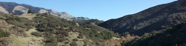
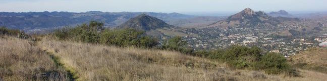
Pinnacles National Park (known as Pinnacles National Monument until 2013) is located in the Salinas Valley east of the 101 Freeway near the cities of Salinas, Soledad, and King City. The over 26,000-acre park protects a distinct pocket of inland mountains that is not connected to the larger Santa Lucia Range to the west. This isolated park packs surprising beauty, with peaks formed by volcanoes along the San Andreas Fault that are distinct from the surrounding landscape.
Most of Pinnacles National Park is located in San Benito County, but a small section at the south end drifts into Monterey County. Roads enter Pinnacles National Park from the east and west, but no road travels through the park. This leaves the heart of the park accessible only to hikers.
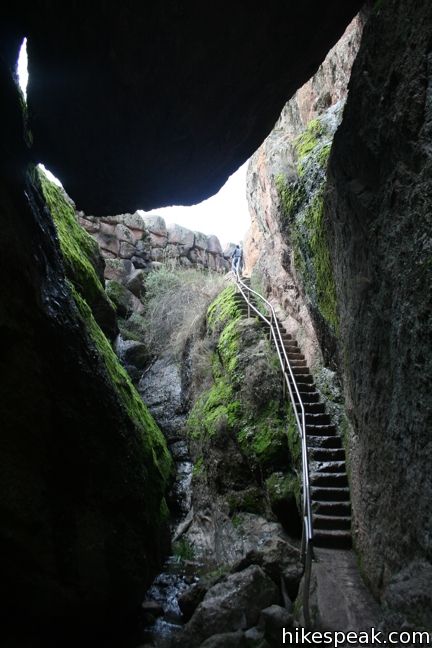
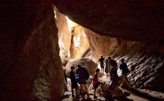
- Explore talus caves on both sides of the park, surrounded by unique rock formations
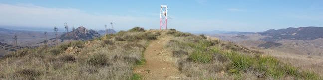
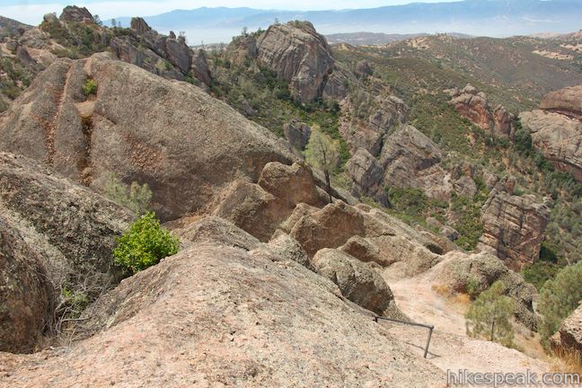
- In the middle of the park, hike across the High Peaks on a boldly engineered trail over a jagged 2,500-foot ridge
High Peaks Trail and the trails trough the caves are favorites for California hikers. One campground in Pinnacles National Park services those staying overnight.
Hiking in Pinnacles National Park
This selection of hikes in Pinnacles National Park – with links to complete write-ups – includes the average rating compiled by users of hikespeak.com (although the creator of hikespeak feels that each of these ratings deserve to be higher). Find your favorite hike in Pinnacles and share a comment or a rating!


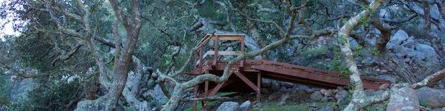
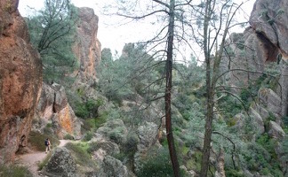
 This 2 to 2.4-mile hike starting from Chaparral Trailhead on the west side of Pinnacles National Park ventures down Balconies Trail past impressive rock formations and through a fun talus cave.
Trailhead address: Highway 146, Pinnacles National Park, Paicines, CA 95043
US
Trailhead coordinates: 36.491654, -121.20937 (36° 29′ 29.95″N 121° 12′ 33.73″W)
Park Headquarters: (831)389-4486
Entrance Passess: $0 – $100
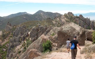 This extensive 9-mile loop ventures between the east and west sides of Pinnacles National Park, crossing through the High Peaks and Balconies Cave.
Trailhead address: Chalone Creek Road (Highway 146), Pinnacles National Park, Paicines, CA 95043
US
Trailhead coordinates: 36.495027, -121.173052 (36° 29′ 42.09″N 121° 10′ 22.98″W)
Park Headquarters: (831)389-4486
Entrance Passess: $0 – $100
 This 5.3 to 6-mile loop crosses the roof of Pinnacles National Park on an incredible journey.
Trailhead address: Pinnacles National Park, Paicines, CA 95043
US
Trailhead coordinates: 36.4785, -121.1838 (36° 28′ 42.6″N 121° 11′ 02″W)
Park Headquarters: (831)389-4486
Entrance Passess: $0 – $100
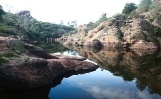 This 1.5-mile hike passes through a talus cave to reach a reservoir on the east side of Pinnacles National Park.
Trailhead address: Pinnacles National Park, Paicines, CA 95043
US
Trailhead coordinates: 36.4785, -121.1838 (36° 28′ 42.6″N 121° 11′ 02″W)
Park Headquarters: (831)389-4486
Entrance Passess: $0 – $100
Camping in Pinnacles National Park
Pinnacles National Park has one campground with tent, RV, and group sites in an oak woodland on the east side of the park.
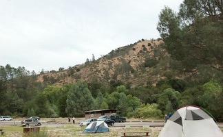
Campground address: 5000 Highway 146, Pinnacles National Park, Paicines, CA 95043
Campground coordinates: 36.493220, -121.146349 (36° 29′ 35.59″N 121° 08′ 46.85″W)