McMenemy Overlook Trail
in the Los Padres National Forest
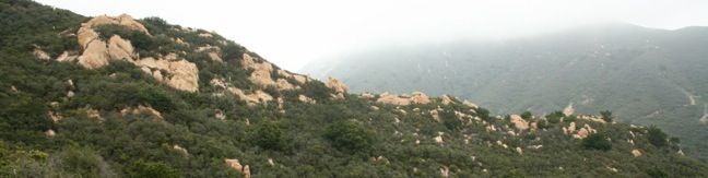
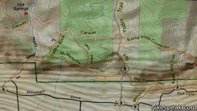
This 3.7-mile hike combines four trails (San Ysidro Canyon Trail, McMenemy Trail, Girard Trail, and Edison Catway Fire Road) to form a loop through the mountains behind Montecito, California. The trails ascend 1,000 feet, providing good exercise and views.
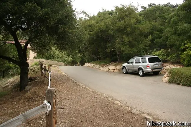
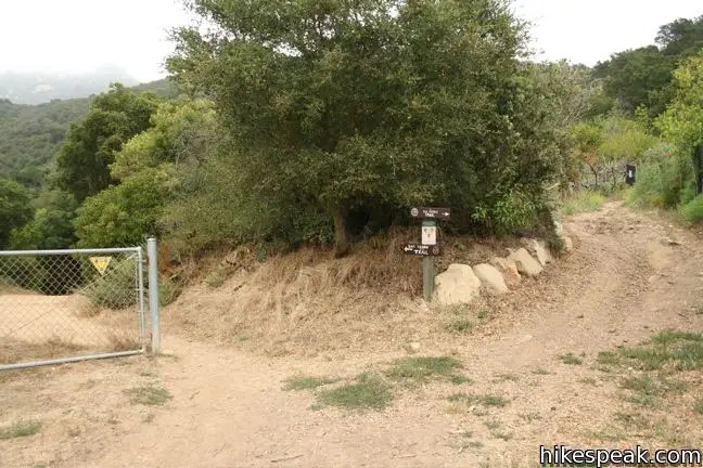
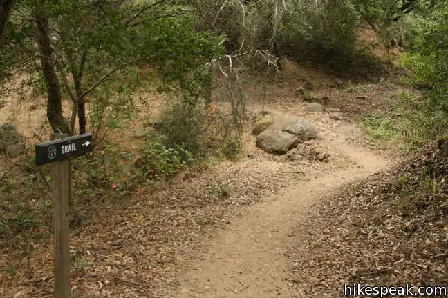
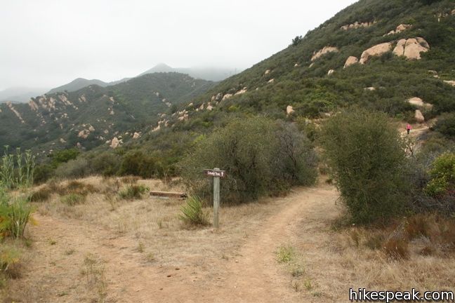
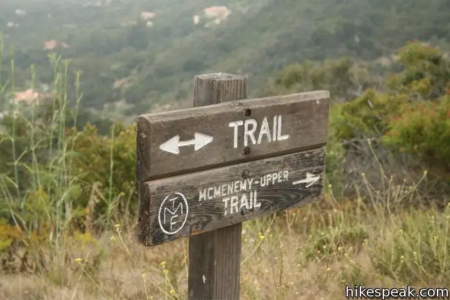
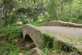
From San Ysidro Trailhead, begin hiking inland on the wide trail that passes through a neighborhood before reaching Los Padres National Forest. After 0.2 miles, the trail runs into a paved street. Turn left here and follow the trail along the road past a few homes. After entering the forest, you will come to a junction half a mile from the start. This is the beginning of the loop portion of the hike, which is best experienced in a clockwise direction, insuring a gradual ascent and a swift descent. Turn left, following a sign labeled McMenemy Lower – Trail.
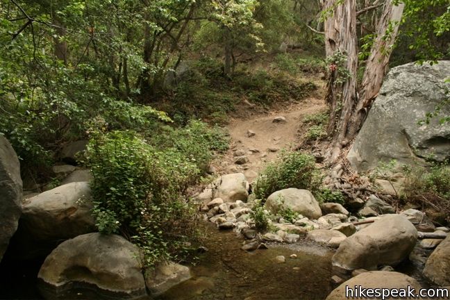
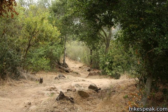
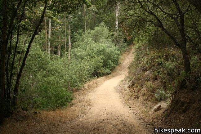
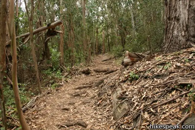
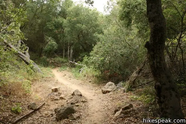
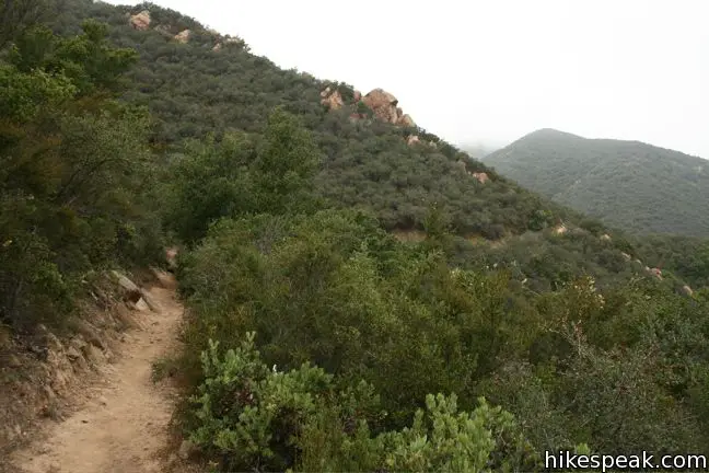
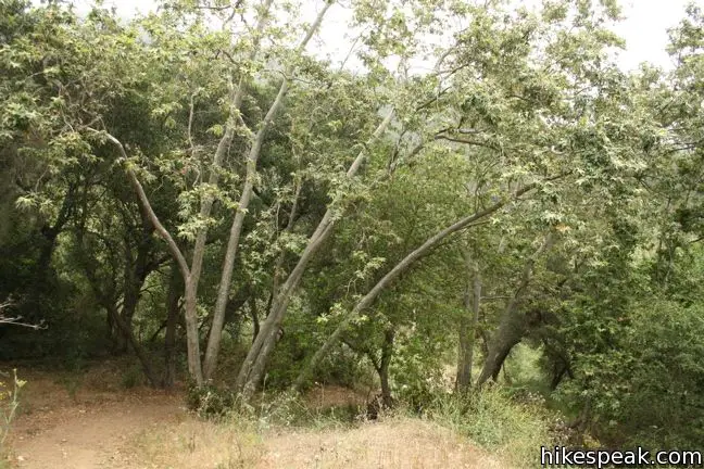
Follow the single-track McMenemy Trail across San Ysidro Creek and through a forest of Eucalyptus trees. The trail passes through the forest and climbs a grassy mountainside, ascending 450 feet over 0.9 miles.
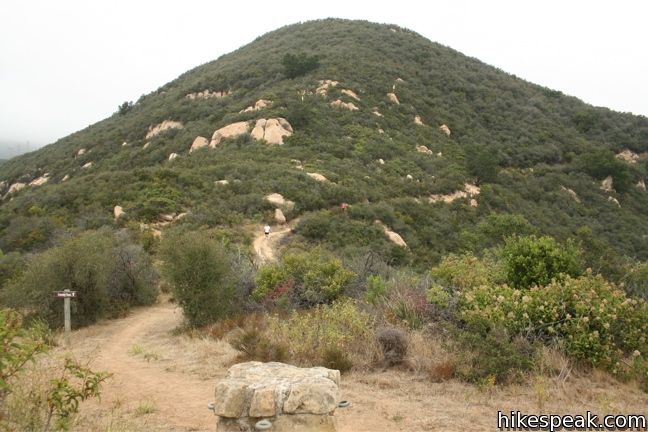
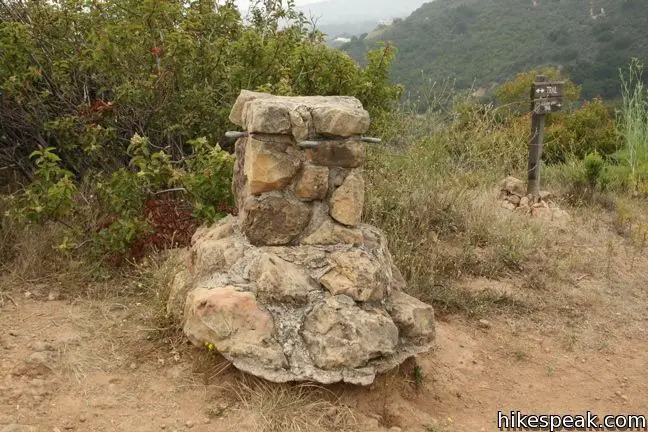
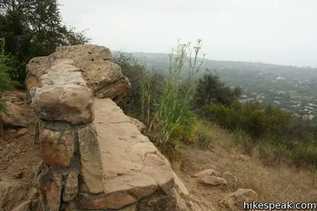
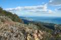
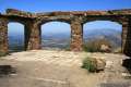
After several switchbacks, arrive at a junction with Girard Trail alongside a stone hitching post and a grand stone bench. This bench is dedicated to Colonel McMenemy and offers a fine view over Montecito and the Pacific Ocean. One could turn around right here for a satisfying 2.8-mile out and back with 650 feet of elevation gain.
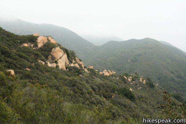
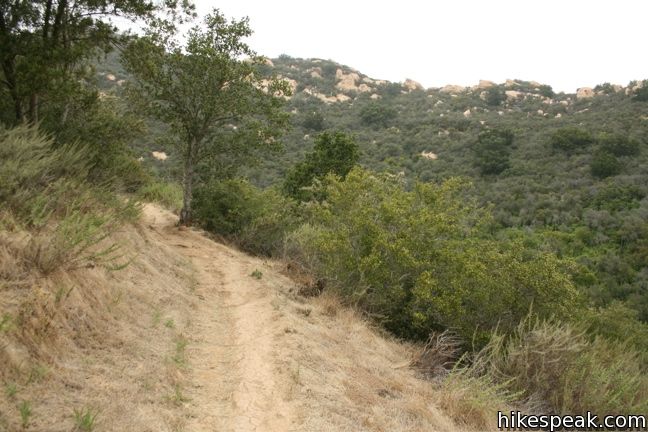
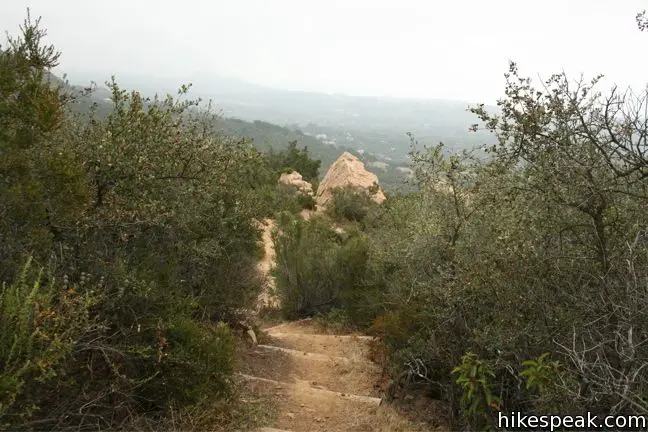
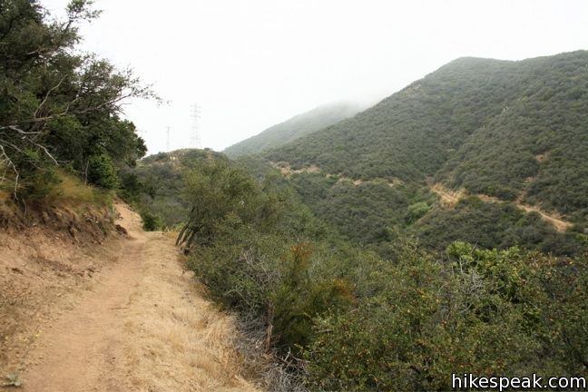
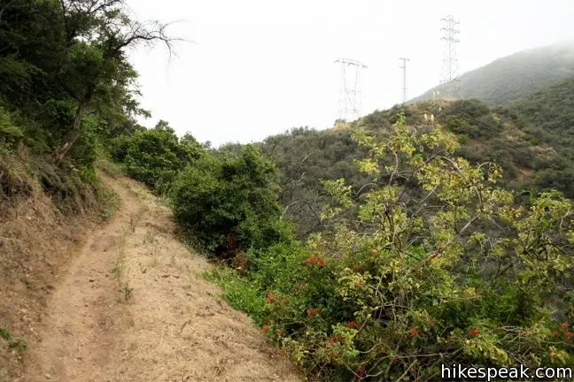
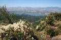
Beyond the bench, McMenemy Trail continues to the west toward Hot Springs Canyon. However, to continue with the loop, make a right on Girard Trail, which heads farther into the mountains, wrapping around the upper slopes of San Ysidro Canyon. You will ascend another 350 feet over 0.55 miles to reach Edison Catway, a fire road that descends to San Ysidro Canyon Trail. Just 1/8 of a mile into Girard Trail, there is a short spur path to a picturesque overlook on the side of the canyon.
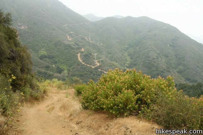
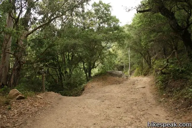
Girard Trail ends below a string of high power electric lines, reaching a high point of 1,450 feet. Make another right on the dirt road and begin the steep descent back into the canyon. It is 1.2 miles from here to the junction with McMenemy Trail.
When you reach the bottom of the canyon, turn right and take San Ysidro Canyon Trail back to the trailhead. Dogs and mountain bikes are welcome. No fee or permit requires to hike this 3.7-mile loop, so get out and enjoy! For a hike a little farther down San Ysidro Creek, check out Ennisbrook Trail in San Ysidro Creek Preserve.
Directions to the Trailhead
- From Los Angeles, take the 101 North for 90 mile.
- When you reach Montecito (just east of Santa Barbara), take exit 92 onto Sheffield Drive.
- Head north on Sheffield drive for 1.3 miles.
- Turn left on East Valley road.
- After one mile turn right on Park Lane.
- After 0.4 miles turn left onto East Mountain Drive.
- Take that for a quarter mile to the trailhead at road's end.
- There is parking on the side of the road.
Trailhead Location
Trailhead address: 1800 East Mountain Drive, Montecito, CA 93108
Trailhead coordinates: 34.446008, -119.622303 (34° 26′ 45.62″N 119° 37′ 20.29″W)
View Santa Ynez Mountains in a larger map
Or view a regional map of surrounding Central Coast trails and campgrounds.


 | Ennisbrook Trail This easy 1.85-mile lollipop loop crosses charming stone bridges over San Ysidro Creek to explore a lush oak forest that is flooded by nasturtiums in the spring. |
 | Montecito Peak This 7.1-mile partial loop climbs to a panoramic summit in Los Padres National Forest overlooking Montecito and Santa Barbara. |
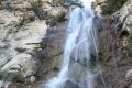 | Tangerine Falls This 2.5-mile hike visits a beautiful waterfall on the edge of Los Padres National Forest near Santa Barbara. |
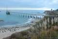 | Carpinteria Bluffs Trail to Carpinteria Seal Sanctuary Overlook This 1 to 2-mile hike goes from Carpinteria Bluffs Nature Preserve to a viewing area above a harbor seal rookery, offering beach access and beautiful oceanfront hiking. |
 | Lizard's Mouth This half-mile hike offers amazing views over Santa Barbara and the Pacific while visiting a unique rock formation. |
 | Gaviota Wind Caves This 2.5-mile hike just off Highway 101 visits wind-carved caves in Gaviota State Park with great ocean views. |
 | Knapp's Castle This easy 0.8-mile hike visits the scenic ruins of an estate home built atop the mountains behind Santa Barbara. |
 | Tequepis Trail This invigorating 8.4-mile round trip hike offers views of Lake Cachuma as it climbs the Santa Ynez mountains to views of Santa Barbara and the Pacific. |
 | More Central Coast Hikes Explore other destinations along the California coast between Ventura and Monterey, including trails in Los Padres National Forest. |
Common Questions about McMenemy Overlook Trail in the Los Padres National Forest
- Is the trail open?
- Yes. You should expect to find that McMenemy Overlook Trail is open. There are no recent reports of trail closures. If you discover that the trail is closed, please help your fellow hikers by reporting a closure.
- Is this trail free to access?
- Yes, McMenemy Overlook Trail is free to access. No entrance fee, pass, or permit is required. If you discover that access rules have changed, please provide feedback on your experience.
- How much time does this hike take?
- It takes approximately 2 hours 15 minutes to hike McMenemy Overlook Trail. Individual hiking times vary. Add extra time for breaks and taking in the views.
- How long is this hike?
- The hike to McMenemy Overlook Trail is a 3.7 mile loop with 1000 feet of elevation change.
- Are dogs allowed on this trail?
- Yes, dogs are allowed on McMenemy Overlook Trail. The trail is open to hikers, bikes, dogs.
- Are there ocean views on this hike?
- Yes, McMenemy Overlook Trail offers views of the ocean.
- What mountain range is this trail in?
- McMenemy Overlook Trail is located in the Santa Ynez Mountains.
- Where is the trailhead located?
- The trailhead for McMenemy Overlook Trail is located in Montecito, CA.
Trailhead Address:
1800 East Mountain Drive
Montecito, CA 93108
Trailhead Coordinates:
34.446008, -119.622303 - What are the driving directions to the start of the hike?
To get to the trailhead: From Los Angeles, take the 101 North for 90 mile. When you reach Montecito (just east of Santa Barbara), take exit 92 onto Sheffield Drive. Head north on Sheffield drive for 1.3 miles. Turn left on East Valley road. After one mile turn right on Park Lane. After 0.4 miles turn left onto East Mountain Drive. Take that for a quarter mile to the trailhead at road's end. There is parking on the side of the road.
View custom Google Maps directions from your current location.
- Are there other trails near McMenemy Overlook Trail?
- Yes, you can find other nearby hikes using the Hikespeak Hike Finder Map.

7 Comments on McMenemy Overlook Trail in the Los Padres National Forest
What hikers are saying:
✨ Generated summary of user commentsHikers appreciate the scenic route that leads to a stone bench and provides a sense of connection to the local landscape. Isbel recalls encountering wildlife like tarantulas and rattlesnakes while exploring the area, adding a touch of wildness to the experience. This trail serves as a nostalgic escape for those returning to the Santa Barbara foothills to rediscover familiar paths.
“This is my fav SB hike.” Jump to comment ↓
This set of instruction on this hike were wonderful. I appreciate the time it took the person who created it and I definitely appreciate it. Thanks!
Excellent description of the trail. I hiked the first section today and I can’t wait to do the whole loop.
This is my fav SB hike. The breakdown on this page is 100% accurate!
Great hike. My wife and I enjoyed it on our 22nd anniversry. At what elevation is the stone bench?
The elevation at the bench is around 1,050 feet. Glad you enjoyed the hike!
This is amazing work you did here. My wife and I have just moved back to California after being gone for twelve years. We used to hike all of the SB foothills trails but we have forgotten a lot of the trail details. Your page was the perfect refresher for Mcmenemy. We’re heading out tomorrow. Thank you very much!
When I was in my teens we lived in Montecito and I had a horse. I rode this trail at least 100x. Saw a tarantula once, my horse sensed a rattlesnake once (she was a Mustang and always dodged snakes) – rode the trail all the way to my friend’s house at the Hot Springs. This brought back so many wonderful memories. Thank you.