Culp Valley Loop to Culp Valley Overlook and Peña Springs in Anza-Borrego Desert State Park
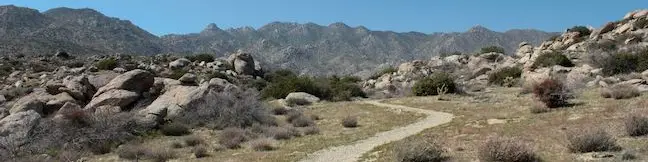
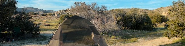
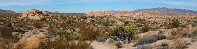
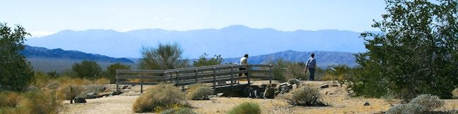
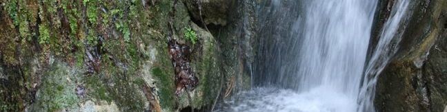
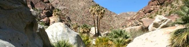
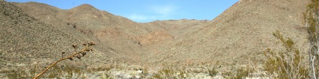
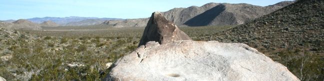
If you like mountain views without a mountainous amount of effort, set out on Culp Valley Loop. This 2.2-mile hike with 200 feet of elevation change begins from Culp Valley Primitive Campground in the San Ysidro Mountains west of Borrego Springs. The campground is just off Montezuma Highway, the main road into the park from the west, making Culp Valley Loop a convenient first stop for Anza-Borrego Desert State Park visitors coming from Los Angeles, San Diego, or somewhere in between. ...Read more.
Distance: 2.2 miles · Elevation change: 200 feet
By: Published: April 6, 2013 Last updated: April 8, 2026
Culp Valley Primitive Campground in Anza-Borrego Desert State Park
Culp Valley is a primitive campground in the San Ysidro Mountains west of Borrego Springs. At 3,375 feet above sea level, the campground a cradled by peaks. Here's what Culp Valley Primitive Campground doesn't have: water, picnics tables, fire rings, and charcoal grills. Here is what the campground does have: vault toilets and ground to put a tent on. ...Read more.
By: Published: April 6, 2013 Last updated: April 11, 2026
Crown Prince Lookout in Joshua Tree National Park
Joshua Tree National Park has a lot of interesting history, like old gold mines and Native America sites. Crown Prince Lookout highlights another period of the park's history, when a warning station for World War II airplanes was located atop a granite formation near today's overlook. The lookout and a second nearby viewpoint can be reached via an easy 3. ...Read more.
Tagged with · National Parks · Off Trail
Distance: 3.25 miles · Elevation change: 50 feet
By: Published: February 21, 2013 Last updated: December 5, 2025
Ryan Ranch in Joshua Tree National Park
Despite the harshness of the desert environment, some people actually made a home in what is now Joshua Tree National Park. Miners, Jepp and Tom Ryan built a large house next to Ryan Mountain in 1898. Over a hundred years later, much of their old adobe structure still stands and can be easily visited today. Two routes lead to the ruins of Ryan Ranch. ...Read more.
Tagged with · National Parks · Ruins
Distance: 1.2 miles · Elevation change: 85 feet
By: Published: February 20, 2013 Last updated: December 7, 2025
Bajada Trail in Joshua Tree National Park
Bajada All-Access Nature Trail is located on the southeast side of Joshua Tree National Park between the 10 Freeway and the Cottonwood Visitor Center. The hike, which you could do in flip-flops or tennis shoes, is a 0.3-mile loop with about 5 feet of elevation change. If that wears you out, there are three benches along the way where you can pause to admire the vegetation and scenery. ...Read more.
Tagged with · National Parks · Nature Trails
Distance: 0.3 miles · Elevation change: 5 feet
By: Published: February 19, 2013 Last updated: December 5, 2025
Hellhole Canyon Trail to Maidenhair Falls in Anza-Borrego Desert State Park
Hellhole Canyon is backed up against the San Ysidro Mountains just southwest of the Anza-Borrego Desert State Park Visitor Center in Borrego Springs. The ominously named canyon is home to Maidenhair Falls, a seasonal 20-foot waterfall that makes a refreshing hiking destination on a hot day in the California desert. If you are visiting the park in early spring, or any time rains bring water to Hellhole Canyon, Maidenhair Falls should be on your itinerary. ...Read more.
Distance: 5.5 miles · Elevation change: 1000 feet
By: Published: April 6, 2011 Last updated: April 9, 2026
Borrego Palm Canyon Trail in Anza-Borrego Desert State Park
Borrego Palm Canyon is a wide trench descending west to east down the San Ysidro Mountains just west of Borrego Springs. The creation of Anza-Borrego Desert State Park began in the 1930s with the protection of this palm-filled canyon. The popularity of the trail exploring Borrego Palm Canyon has endured, even as the park has expanded to protect a thousand square miles of southeastern California. ...Read more.
Distance: 3.25 miles · Elevation change: 450 feet
By: Published: April 5, 2011 Last updated: April 8, 2026
Rainbow Canyon Trail in Anza-Borrego Desert State Park
For an exciting 2.2-mile hike on an undeveloped trail through a colorful canyon, make your way to Rainbow Canyon, located south of Blair Valley in Anza-Borrego Desert State Park. A bit of scrambling is required on this hike, to climb several sloped dry falls within the canyon. This hike has 300 feet of elevation gain between the trailhead and the turnaround point, with plenty to see along the way. ...Read more.
Distance: 2.2 miles · Elevation change: 300 feet
By: Published: April 3, 2011 Last updated: April 7, 2026
Pictograph Trail in Anza-Borrego Desert State Park
Pictograph Trail provides a 1.8-mile out and back hike to an elephant-sized canvas, otherwise known as a boulder, that was used by Kumeyaay Indian painters who lived in the Anza-Borrego Desert over two thousand years ago. From the trailhead, hike east up a shallow draw in the ridgeline, gaining 190 feet over 0.55 miles. Behind you, there is a grand view over Little Blair Valley and Granite Mountain to the west. ...Read more.
Distance: 1.8 miles · Elevation change: 190 feet
By: Published: April 2, 2011 Last updated: April 9, 2026
Morteros Trail in Anza-Borrego Desert State Park
This short gradual 0.6-mile round trip hike ascends to an area of Anza-Borrego Desert State Park that was once inhabited by Kumeyaay Indians. The Kumeyaay left behind morteros, grinding bowls carved into large boulders along the trail. These Native Americans used the circular morteros over 2,000 years ago to grind local nuts and seeds into meal. From the well-marked trailhead above Blair Valley, begin hiking southwest toward a gap in the hillside. ...Read more.
Distance: 0.6 miles · Elevation change: 40 feet
By: Published: April 1, 2011 Last updated: April 9, 2026