Culp Valley Loop to Culp Valley Overlook and Peña Springs in Anza-Borrego Desert State Park
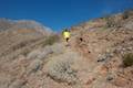
If you like mountain views without a mountainous amount of effort, set out on Culp Valley Loop. This 2.2-mile hike with 200 feet of elevation change begins from Culp Valley Primitive Campground in the San Ysidro Mountains west of Borrego Springs. The campground is just off Montezuma Highway, the main road into the park from the west, making Culp Valley Loop a convenient first stop for Anza-Borrego Desert State Park visitors coming from Los Angeles, San Diego, or somewhere in between.
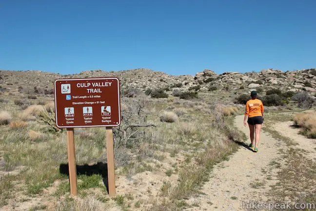
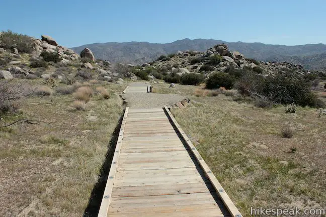
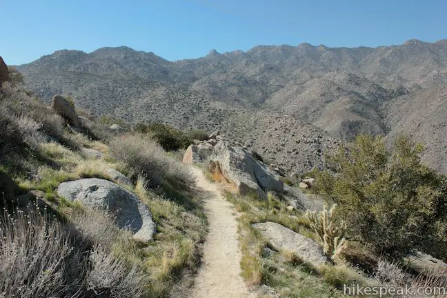
The loop starts up Culp Valley Trail, a half-mile long wheelchair-friendly trail to Culp Valley Overlook. This expansive viewpoint above Hellhole Canyon is at a junction with California Riding and Hiking Trail, a long trail that can be used to hike a short distance to Peña Springs, a small but essential desert water source, and the second stop on this double destination loop.
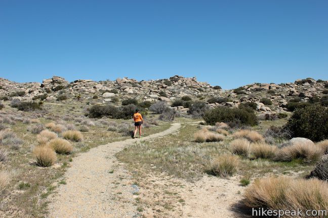
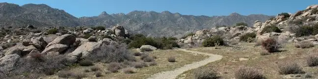
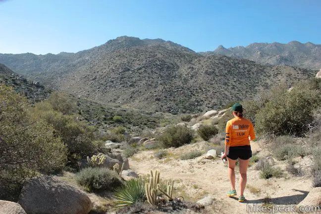
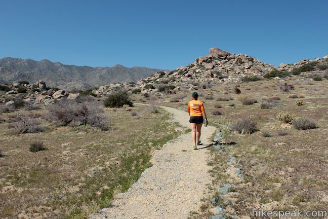
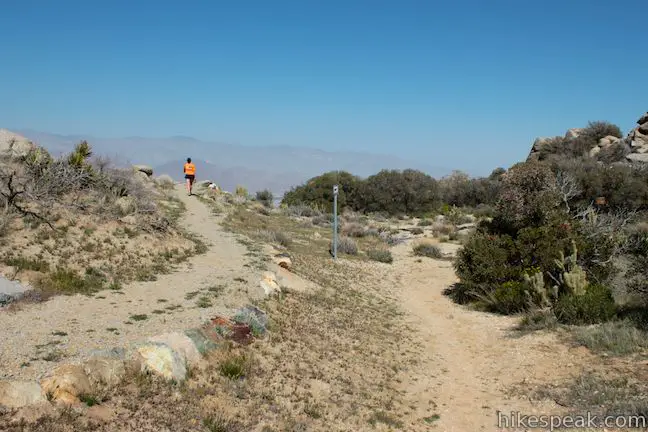
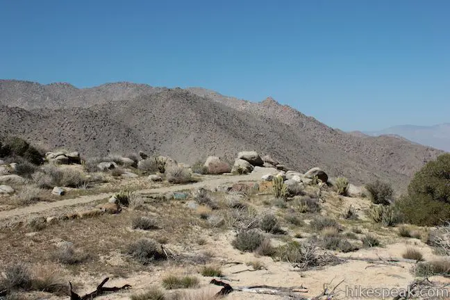
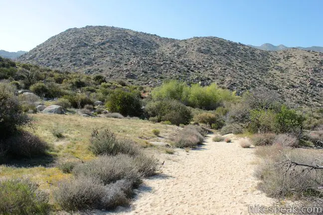
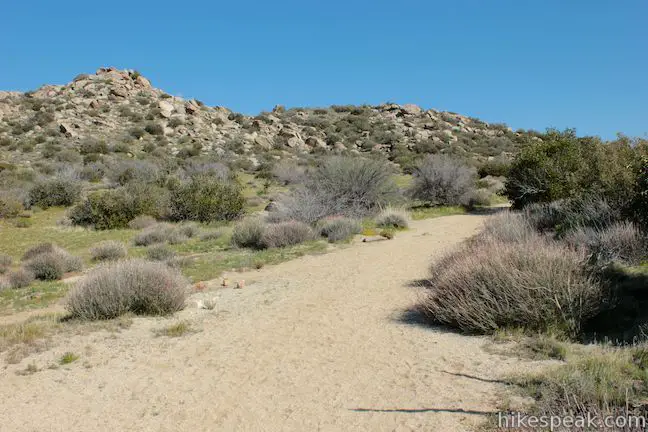
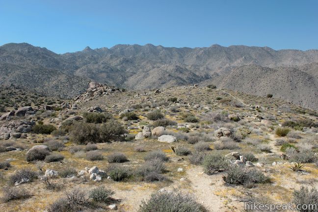
Begin from Culp Valley Primitive Campground at 3,350 feet above sea level where you will find a large sign marking the start of Culp Valley Trail north of the vault toilets. Hike up this gradual well-graded trail. After about 0.2 miles there will be a spur trail on the right out to a vista point. Look southeast down a rocky gap in the mountains toward Pinyon Ridge.
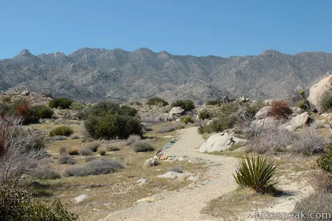
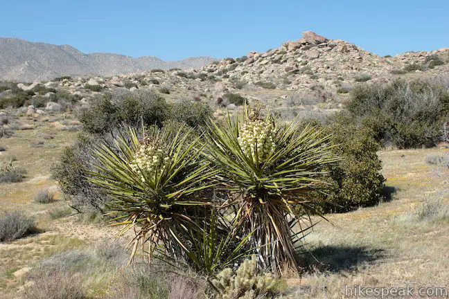
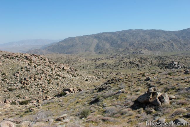
Grab the early vista and continue up Culp Valley Trail. Straight ahead there are views of the 6,147-foot San Ysidro Mountain, The Thimble, and an interesting line of jagged summits in the San Ysidro Mountains.
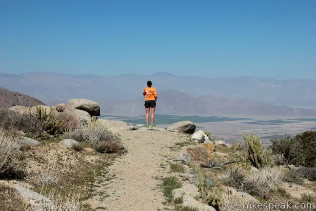
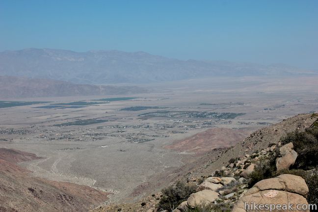
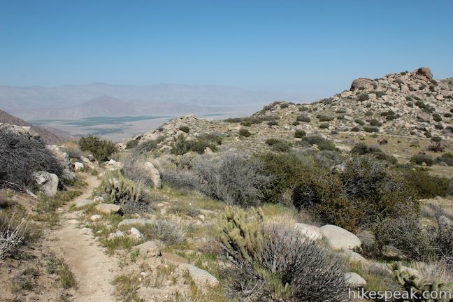
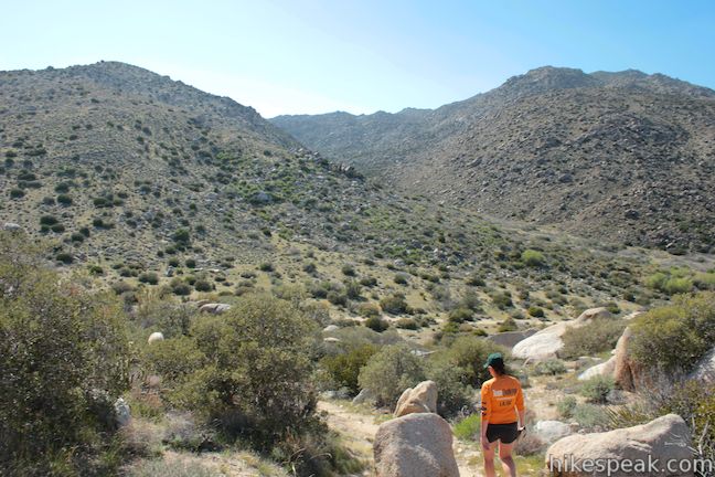
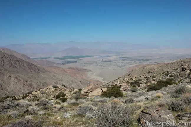
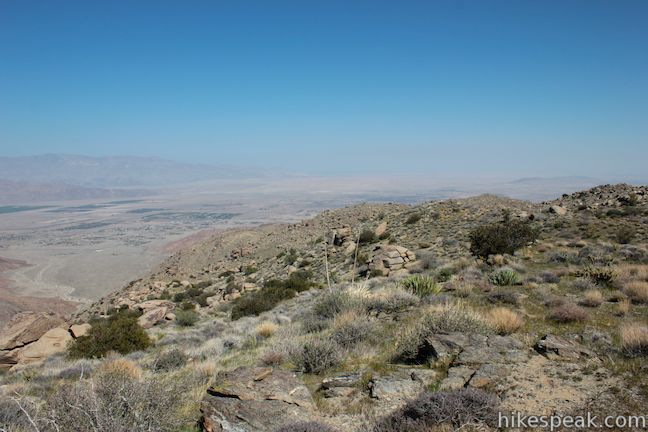
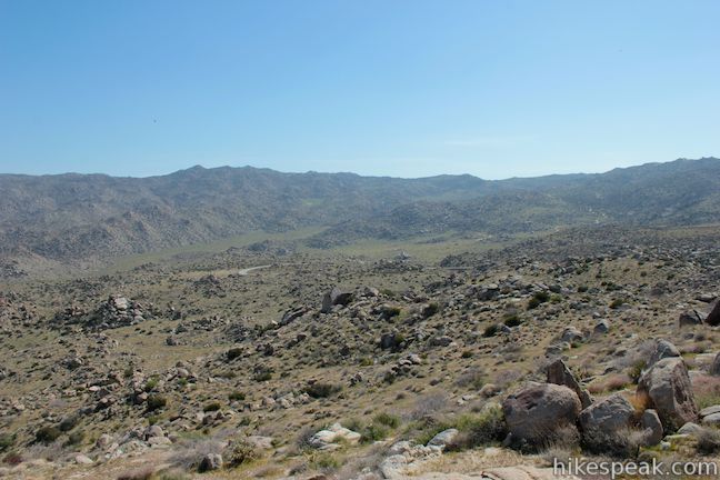
After half a mile (in which 125 feet are gained) you will reach a junction with California Riding and Hiking Trail. Peña Springs is to the left, but before you turn that way, continue across California Riding and Hiking Trail, angling to the right to reach Culp Valley Overlook. The vast viewpoint sits on a ridge above Hellhole Canyon, a long deep trench in the San Ysidro Mountains. Looking down the canyon you will see the trail to Maidenhair Falls in Hellhole Canyon. Beyond the mouth of the canyon is the city of Borrego Springs in Borrego Valley, nearly 3,000 feet below. It’s a big view!
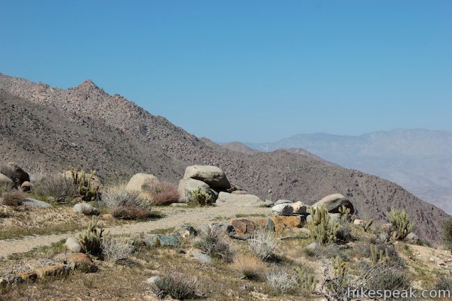

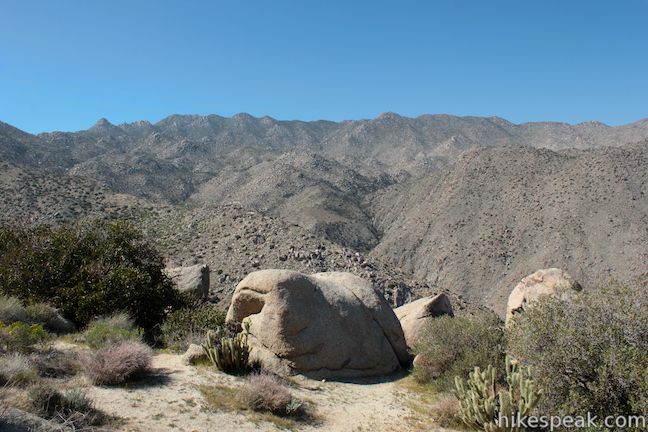
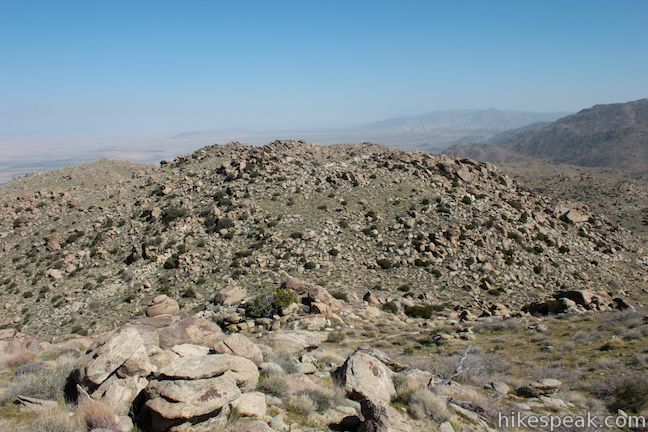
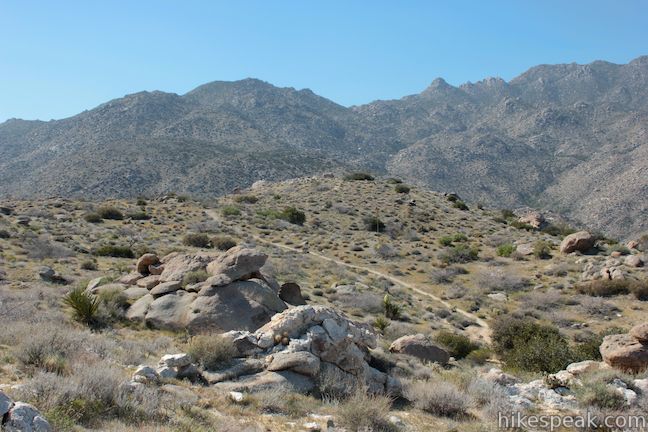
If you were to head farther east on California Riding and Hiking Trail, it would eventually drop down along Hellhole Canyon to Borrego Springs. For a short addition to Culp Valley Loop you can venture a quarter mile east on California Riding and Hiking Trail and step off trail to explore a cluster of rock piles topping the ridge with panoramic views. This will add about half a mile to the hike.
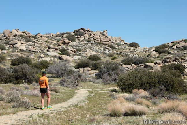
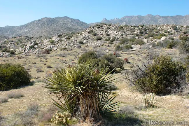
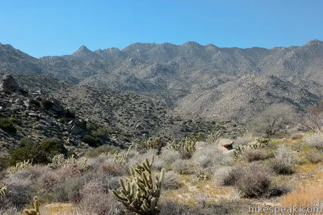
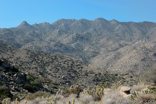
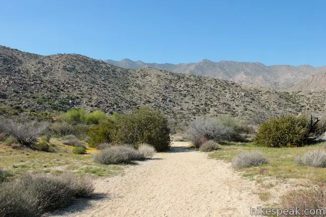
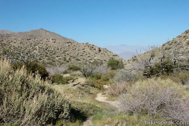
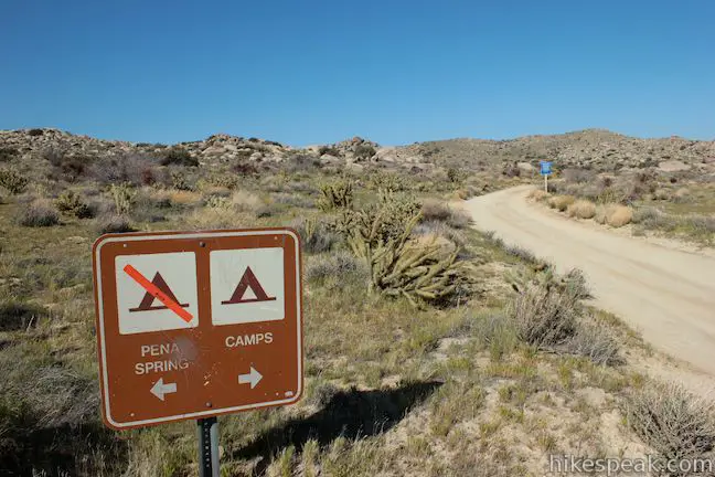
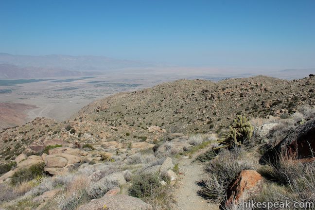
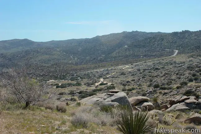
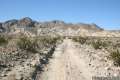
To continue Culp Valley Loop, head west from Culp Valley Overlook on California Riding and Hiking Trail. The hike, which is no longer wheelchair-friendly, takes a more rugged course along the rocky ridge. Cholla cacti, agave, and banana yucca line the trail, giving you full-on desert immersion as you enjoy views of the San Ysidro Mountains. California Riding and Hiking Trail turns downhill and comes to a junction with a dirt road after 0.45 miles. This is the trail to Peña Springs.
Leave California Riding and Hiking Trail and turn right, hiking gradually downhill to the springs.
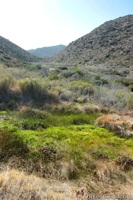
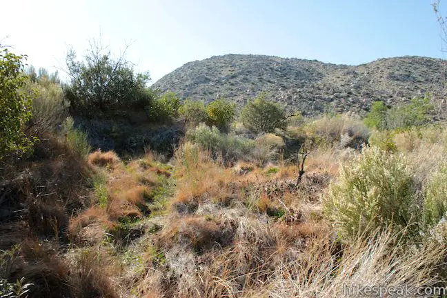
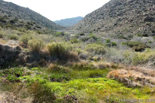
Look for green brush and trees surrounding the springs, a quarter mile down the road on the left. Don’t expect to see much water. Peña Springs is small. You will find a thicket and happily growing grasses, something illusive in this desert park. You will probably hear birds singing too, another unusual desert experience. The trail extends beyond Peña Springs, but you should turn around here to continue the loop.
After exploring Peña Springs, hike back toward California Riding and Hiking Trail. Pass it and continue another tenth of a mile to a trailhead for Peña Springs. There is a dirt parking area here and a sign for Peña Springs. This is an alternate starting point for the loop, and the place to park if you are only interested in a shorter 0.7-mile out and back hike to Peña Springs.
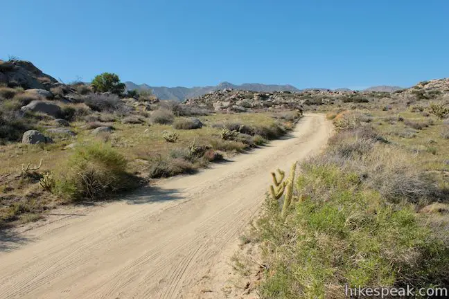
Continue down the dirt road (open to vehicles) to loop back to the other trailhead. After 0.3 miles you will reach an intersection in the road. Turn left following the sign for the campground (this is the road you drove in on to reach the trailhead). Hike 0.2 miles back to the trailhead for Culp Valley Trail, completing the loop.
The minimum distance for this loop is 2.2 miles with 200 feet of elevation gain and it can be extended to 2.7 miles or more with 300 feet of elevation gain or more by hiking farther up California Riding and Hiking Trail. No fee or permit is required to hike Culp Valley Loop. Culp Valley Primitive Campground is a great place to camp (if you don’t mind sacrificing a few of the usual amenities) and is also free. No dogs or mountain bikes allowed. For another good nearby hike, check out Tubb Canyon Trail.
Directions to the Trailhead
- From Christmas Circle in Borrego Springs, drive 1.3 miles west on Palm Canyon Road.
- Turn left on Montezuma Valley Road (Route S22), which is 0.4 miles before the park visitor center.
- Drive southwest on Montezuma Valley Road for 8.2 miles and turn right (north) on a dirt road into Culp Valley Primitive Campground.
- Drive up the well-maintained dirt road and bear right at the intersection with the road to Peña Springs (unless you want to start the loop there).
- Proceed 0.2 miles to the camping area and angle left to reach the start of Culp Valley Trail.
- The vault toilets will be to the right at the lower south end of the campground.
- From outside the west side of the park, take Route 79 to Warner Springs and continue south on Route 79 for 3.5 miles.
- Turn left (east) on San Felipe Road and proceed 4.7 miles to Montezuma Valley Road.
- Turn left and drive 9.2 miles on Montezuma Valley Road to Culp Valley Primitive Campground on the left.
Trailhead Location
Trailhead address: Montezuma Valley Road, Anza-Borrego Desert State Park, Ranchita, CA 92066
Trailhead coordinates: 33.2241, -116.454725 (33° 13′ 26.75″N 116° 27′ 17.00″W)
View Anza-Borrego Desert State Park in a larger map
Or view a regional map of surrounding California Desert trails and campgrounds.


The extension on California Riding and Hiking Trail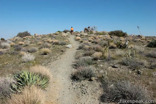

 | Tubb Canyon Trail This 1.5-mile hike follows a footpath across Tubb Canyon to Big Spring in a desert canyon below Pinyon Ridge. |
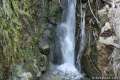 | Hellhole Canyon Trail to Maidenhair Falls This 5.5-mile hike visits a 20-foot waterfall in a canyon near Borrego Springs, making it the perfect place to cool off on a hot day in the California Desert. |
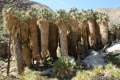 | Borrego Palms Canyon Trail This 3.25-mile loop visits a popular palm tree oasis in a canyon west of Borrego Springs. |
 | Panoramic Overlook Trail The 1-mile round trip hike ascends a ridge on the south side of Borrego Palm Canyon to sweeping views of the San Ysidro Mountains and Borrego Valley. |
 | Calcite Mine Trail This 4.25-mile trek climbs 600 feet to a historic mine site, exploring exciting narrows along the way. |
 | The Slot This short hike descends through a narrow canyon beneath a natural rock span that is among the most photographed landmarks in Anza-Borrego Desert State Park. |
 | Hikes in the California Desert Explore more trails in Death Valley National Park, Joshua Tree National Park, Anza-Borrego Desert State Park, and Mojave National Preserve. |
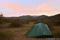
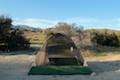 | Culp Valley This primitive campground is cradled by the San Ysidro Mountains west of Borrego Valley and is the highest elevation campground in Anza-Borrego Desert State Park. |
 | Anza-Borrego Desert Campgrounds There are four developed campgrounds, eight primitive campgrounds, and extensive roadside camping to accommodate your visit to California's largest state park. |
 | Anza-Borrego Desert State Park Wildflowers The desert bloom brings bursts of color to barrel cactus, beavertail cactus, ocotillo, and more. |
Common Questions about Culp Valley Loop to Culp Valley Overlook and Peña Springs in Anza-Borrego Desert State Park
- Is the trail open?
- Yes. You should expect to find that Culp Valley Loop is open. There are no recent reports of trail closures. If you discover that the trail is closed, please help your fellow hikers by reporting a closure.
- Is this trail free to access?
- Yes, Culp Valley Loop is free to access. No entrance fee, pass, or permit is required. If you discover that access rules have changed, please provide feedback on your experience.
- How much time does this hike take?
- It takes approximately 1 hour to hike Culp Valley Loop. Individual hiking times vary. Add extra time for breaks and taking in the views.
- How long is this hike?
- The hike to Culp Valley Loop is a 2.2 mile loop with 200 feet of elevation change.
- Are dogs allowed on this trail?
- No, dogs are likely not allowed on Culp Valley Loop. The trail is primarily open to hikers.
- Is this trail wheelchair accessible?
- Yes, Culp Valley Loop is designated as wheelchair-friendly.
- Where is the trailhead located?
- The trailhead for Culp Valley Loop is located in Ranchita, CA.
Trailhead Address:
Montezuma Valley Road
Ranchita, CA 92066
Trailhead Coordinates:
33.2241, -116.454725 - What are the driving directions to the start of the hike?
To get to the trailhead: From Christmas Circle in Borrego Springs, drive 1.3 miles west on Palm Canyon Road. Turn left on Montezuma Valley Road (Route S22), which is 0.4 miles before the park visitor center. Drive southwest on Montezuma Valley Road for 8.2 miles and turn right (north) on a dirt road into Culp Valley Primitive Campground. Drive up the well-maintained dirt road and bear right at the intersection with the road to Peña Springs (unless you want to start the loop there). Proceed 0.2 miles to the camping area and angle left to reach the start of Culp Valley Trail. The vault toilets will be to the right at the lower south end of the campground.
From outside the west side of the park, take Route 79 to Warner Springs and continue south on Route 79 for 3.5 miles. Turn left (east) on San Felipe Road and proceed 4.7 miles to Montezuma Valley Road. Turn left and drive 9.2 miles on Montezuma Valley Road to Culp Valley Primitive Campground on the left.
View custom Google Maps directions from your current location.
- Are there other trails near Culp Valley Loop?
- Yes, you can find other nearby hikes using the Hikespeak Hike Finder Map.

[…] We took a few different hikes throughout our trip, each absolutely stunning! I took pics on two of them (the third was a rather steep, rocky hike to the top of one of the hills near camp…camera stayed behind lol). For hike 1, we took the Culp Valley Trail. […]