Oak Creek Canyon Loop Trail
in Los Robles Open Space
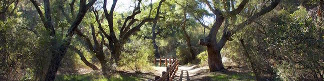
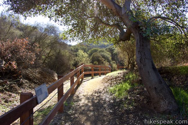
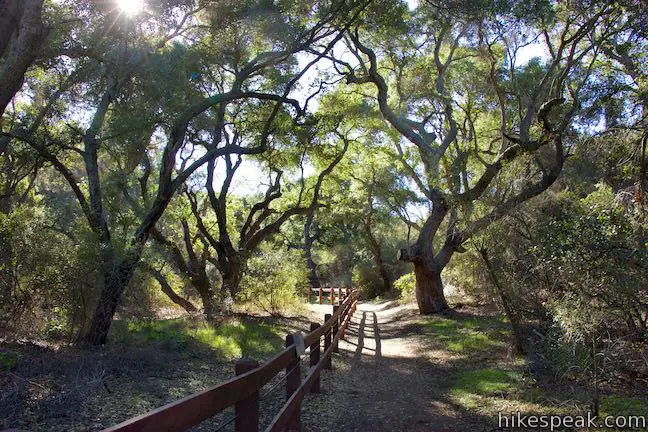
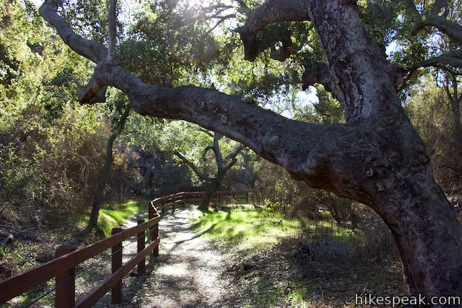
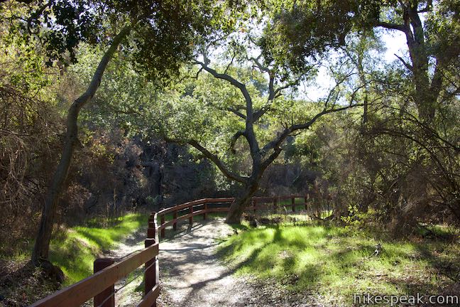
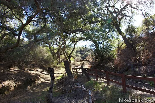
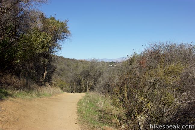
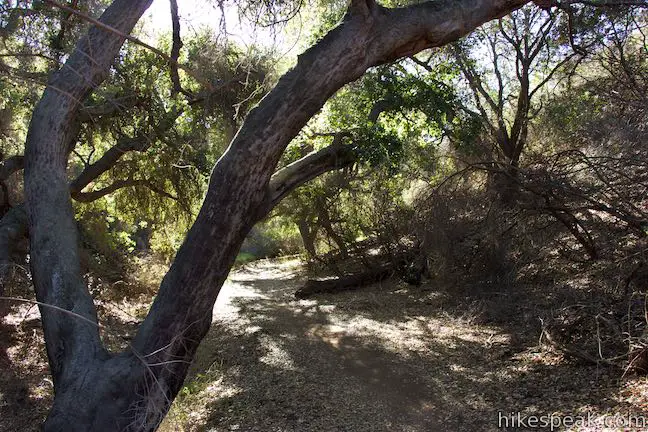
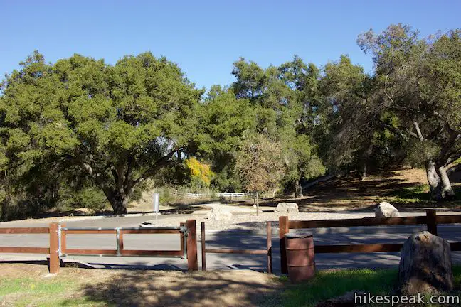
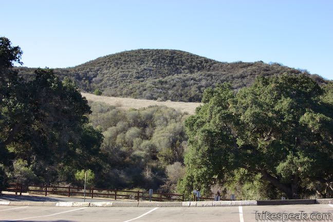
Oak Creek Canyon Trail is a rather special trail in Los Robles Open Space that is designed for the blind as well as the sighted. The all-access nature trail has a dozen and a half signs in English and Braille. While blind hikers will probably want to turn around at the end of the guide fence, for a 0.55 mile hike with 50 feet of elevation change, others may continue on to a loop trail for a 0.8-mile outing with 100 feet of elevation change. The all access trail is shaded by a canopy of oaks, while the loop trail spends more time in chaparral. The trails form a U-shape that is connected by hiking a tenth of a mile on Greenmeadow Avenue. For a longer outing, link to West Los Robles Trail and ascend to Angel Vista.
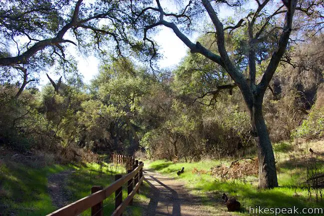
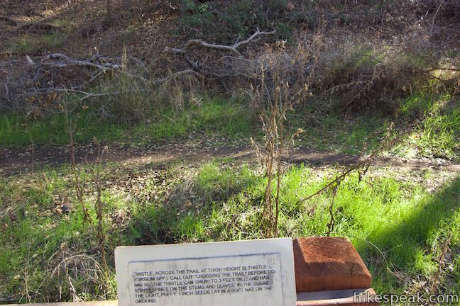
The first section of Oak Creek Canyon Loop Trail is open to equestrians, bicyclists, hikers, wheelchair users, blind, and disabled users. Those on bikes or horses should stay on the left side of a fence that runs up the center of the trail. Everyone else should use the right side. The fence has a guide cable that blind hikers can use to stay on course. Indicators along the guide provide alerts for interpretive signs and gaps in the fence. The signs encourage visitors to touch and smell surrounding plants, expanding the experience for non-blind hikers too.
Begin up the trail past the first sign, which warns you not to touch any of the poison oak that can grow along the outsides of the trail. The second sign is more appealing, describing the oak woodland that you have walked into:
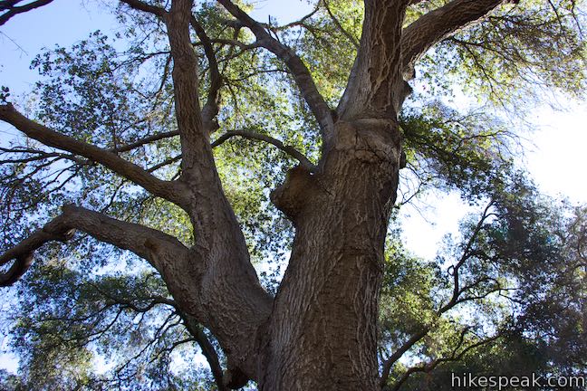
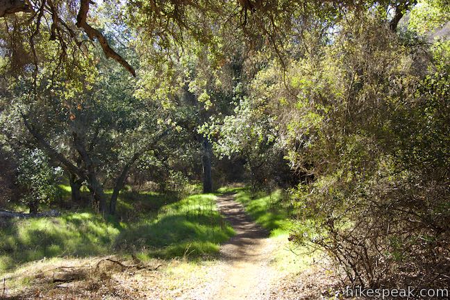
You are now entering a southern oak woodland, dominated by the coast live oak. This is one of the most important natural landscapes in California, providing shelter and food to a wide variety of birds, over 60 species of mammals, and over 5,000 species of insects. Listen for the many songs and sounds of the wildlife that inhabit the southern oak woodland. Notice the smells, the shade, and the cool temperatures characteristic of the oak woodland. These cool woodlands provide an ideal environment for deer, rabbits, raccoons, opossums, coyotes, and other mammals.
You’ll pass a couple more signs in the early going of the trail, highlighting oak trees along the trail. These trees are estimated to be at least 100 years old. Touch oak trunks to feel the rough bark, which like the coast live oak’s small leaves, are an adaptation to reduce moisture loss during droughts. When the trail passes a fallen oak, hikers are encouraged to touch the soft, decaying wood, which is much different than the bark on standing oaks.
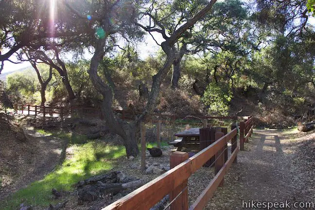
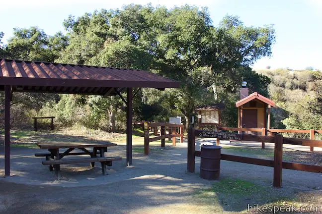
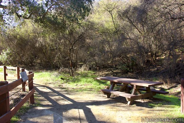
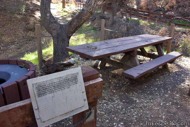
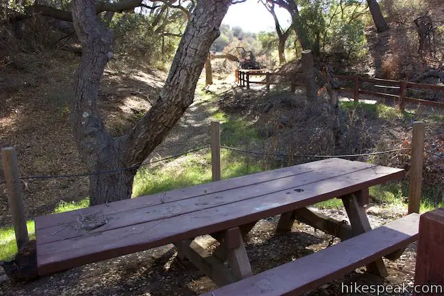
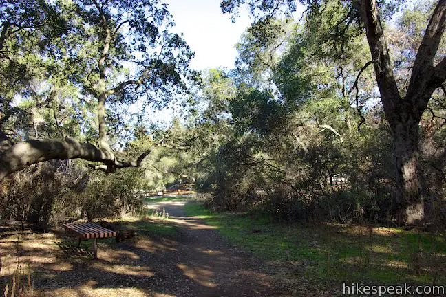
After 1/8 of a mile of hiking, arrive at the first of three rest areas along the trail. These are spots where you can sit down and take a break. The first rest area has a picnic table positioned below a sunny opening in the canopy of oak trees. A sign highlights a bush of black sage near the picnic table. Touching this plant creates a lovely smell.
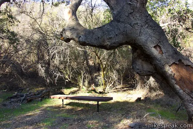
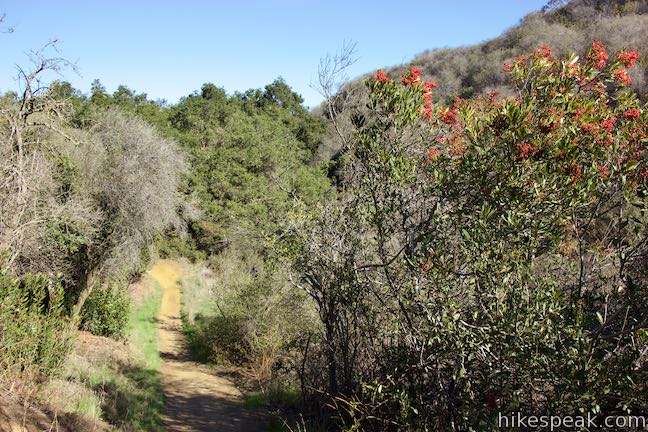
Leave the first rest area and continue up the oak woodland past four more signs, describing a few other plants in the forest: sugar bush, wild cucumber, and elderberry trees. The second rest area has a wooden bench where you can pause to listen to the forest.
Proceed up Oak Creek Canyon Trail past a couple more signs, reaching the third rest area just under a quarter mile from the start. Have a seat at a picnic table in the middle of the trail. Two creeks come together at this spot, creating a pocket of cool, moist air during the winter wet season.
As the trail draws to an end, it exits the oak woodland and enters a new landscape:
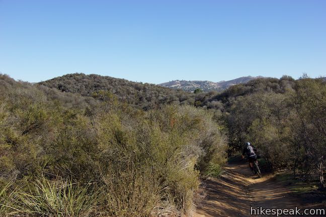
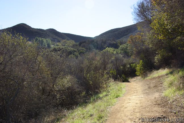
You are about to leave the oak woodland and enter the chaparral environment. The chaparral is very different from the oak woodlands. It is dominated by shrubs and small trees, 3 to 10 feet in height adapted to a hot, dry, environment with little rainfall and poor soils. Notice the lack of an overhead canopy as in the oak woodland and how sounds are muffled by the thick vegetation. Despite the lack of large trees, the chaparral is home to many birds and mammals, including hawks, vultures, coyotes, and deer.
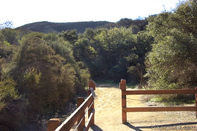
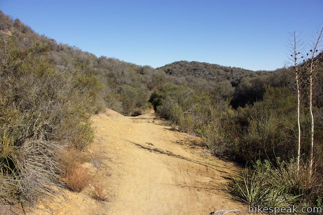
Bask in the sun as you proceed up the trail, passing scrub oak and chamise to come to the end of the access trail. The guide cable for blind hikers terminates here. Turn back around for a 0.55-mile out-and back outing or proceed up the trail to hike the loop.
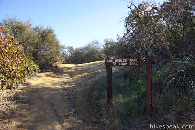
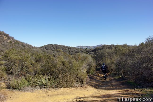
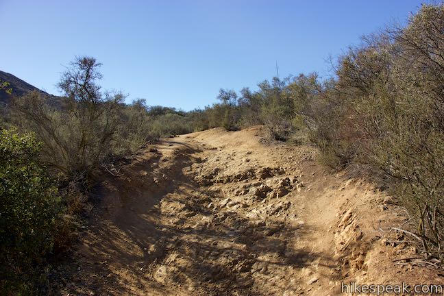
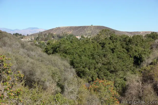
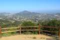
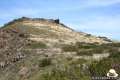
Follow a dirt rut up a slope covered in chaparral. Oak Creek Canyon Loop Trail comes to the trail’s only junction, 0.35 miles from the start. A connector trail to the right ventures a short distance to a junction with West Los Robles Trail. If you turned right at that junction, you could hike 3.5 miles up West Los Robles Trail to Angel Vista. Just walking 100 feet up the connector trail will give you a broader view of the Santa Monica Mountains above.
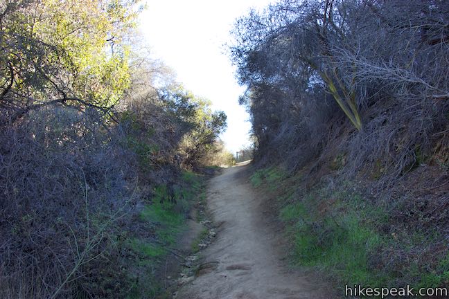
Bear left past the junction to continue on Oak Creek Canyon Loop Trail, which crests and turns downhill. Enter a canyon parallel to the one you hiked and descend to the north. The chaparral continues for the next quarter mile. Look down the canyon toward Thousand Oaks or gaze back over your should toward the mountains.

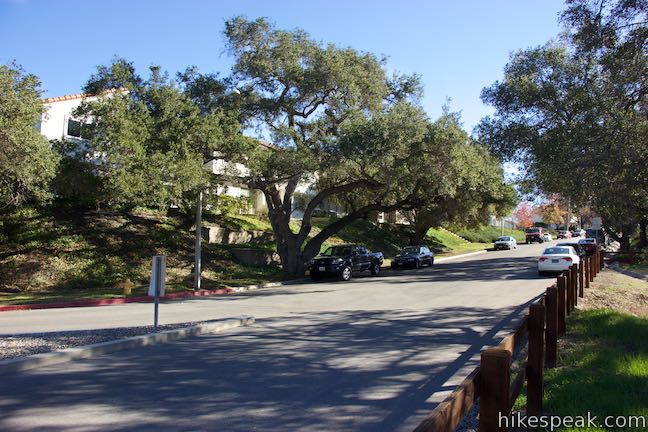
Drop into a grove of oaks and stroll a tenth of a mile through shade down to Greenmeadow Avenue, the road you drove up to reach the trailhead. Turn left and walk up on the side of the road for a tenth of a mile up a hill back to the parking area by the trailhead. Unfortunately, the road does not have a sidewalk, so be alert for passing vehicles.
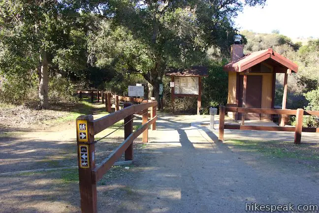
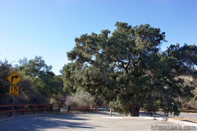
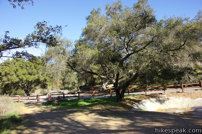
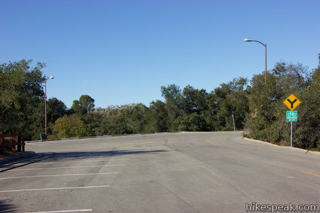
Oak Creek Canyon Trail is open to all, including mountain bikers and hikers with leashed dogs. No permit is required for this hike. Parking at the trailhead is free as Los Robles Open Space does not charge a visitor fee. The trailhead has a map and bathrooms.
Directions to the Trailhead
- Take the 101 Freeway to Thousand Oaks to exit 44 for Moorpark Road.
- Drive south for half a mile to Greenmeadow Avenue and turn right.
- Drive half a mile to the trailhead parking.
- The trail begins on the left on the outside of a bend in the road.
- An entry point for horses and bikes will be first coming from the east.
- On the west side of the bend is disabled parking that offers a guide cable for the blind.
Trailhead Location
Trailhead address: 307 Greenmeadow Avenue, Thousand Oaks, CA 91361
Trailhead coordinates: 34.1753, -118.8856 (34° 10′ 31.08″N 118° 53′ 08.15″W)
You may also view a regional map of surrounding Los Angeles trails and campgrounds.


 | West Los Robles Trail to Angel Vista This 7.6-mile round trip hike climbs 800 feet to an overlook on the north side of the Santa Monica Mountains above Thousand Oaks. |
 | Rosewood Trail to Angel Vista This 4-mile round trip hike is the most direct route to Angel Vista, a panoramic viewpoint in the Santa Monica Mountains overlooking the Conejo Valley. |
 | Tarantula Hill This 1-mile round trip hike follows a paved trail to the top of a small, round hill in Thousand Oaks with views across the Conejo Valley into the surrounding mountains. |
 | Paradise Falls This 40-foot waterfall is located within Wildwood Park in Thousand Oaks and is reachable via several trails. |
 | Lizard Rock To add extra mileage and views to a visit to Paradise Falls in Thousand Oaks, consider placing Lizard Rock on your itinerary. |
 | More trails in Los Angeles Explore other hiking destinations around Los Angeles. |
- Oak Creek Canyon Trail on cosf.org (opens in a new tab)
- Los Robles Trail System in Thousand Oaks on conejovalleyguide.com (opens in a new tab)
- Los Robles Trail West Area (including Oak Creek Canyon Trail) on venturacountytrails.org (opens in a new tab)
- Oak Creek Canyon Trail on alltrails.com (opens in a new tab)
- A map and description of Los Robles Trail on conejo-openspace.org (opens in a new tab)
- The official website for Los Robles Opens Space Foundation (opens in a new tab)
Common Questions about Oak Creek Canyon Loop Trail in Los Robles Open Space
- Is the trail open?
- Yes. You should expect to find that Oak Creek Canyon Trail is open. There are no recent reports of trail closures. If you discover that the trail is closed, please help your fellow hikers by reporting a closure.
- Is this trail free to access?
- Yes, Oak Creek Canyon Trail is free to access. No entrance fee, pass, or permit is required. If you discover that access rules have changed, please provide feedback on your experience.
- How much time does this hike take?
- It takes approximately 15 minutes to hike Oak Creek Canyon Trail. Individual hiking times vary. Add extra time for breaks and taking in the views.
- How long is this hike?
- The hike to Oak Creek Canyon Trail is a 0.8 mile loop with 100 feet of elevation change.
- Are dogs allowed on this trail?
- Yes, dogs are allowed on Oak Creek Canyon Trail. The trail is open to hikers, dogs, bikes.
- Is Oak Creek Canyon Trail good for kids?
- Yes, this hike is likely suitable for children. It is relatively short (0.8 miles) with manageable elevation gain.
- What mountain range is this trail in?
- Oak Creek Canyon Trail is located in the Santa Monica Mountains.
- Where is the trailhead located?
- The trailhead for Oak Creek Canyon Trail is located in Thousand Oaks, CA.
Trailhead Address:
307 Greenmeadow Avenue
Thousand Oaks, CA 91361
Trailhead Coordinates:
34.1753, -118.8856 - What are the driving directions to the start of the hike?
To get to the trailhead: Take the 101 Freeway to Thousand Oaks to exit 44 for Moorpark Road. Drive south for half a mile to Greenmeadow Avenue and turn right. Drive half a mile to the trailhead parking. The trail begins on the left on the outside of a bend in the road. An entry point for horses and bikes will be first coming from the east. On the west side of the bend is disabled parking that offers a guide cable for the blind.
View custom Google Maps directions from your current location.
- Are there other trails near Oak Creek Canyon Trail?
- Yes, you can find other nearby hikes using the Hikespeak Hike Finder Map.

Go the extra miles...
Submit a rating of this hike to go with your comment. Contribute to the average trail rating.