Minaret Falls Trail in Ansel Adams Wilderness and Devils Postpile National Monument
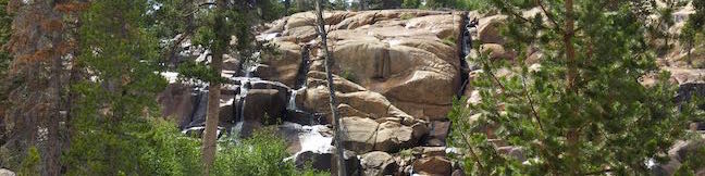
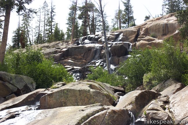
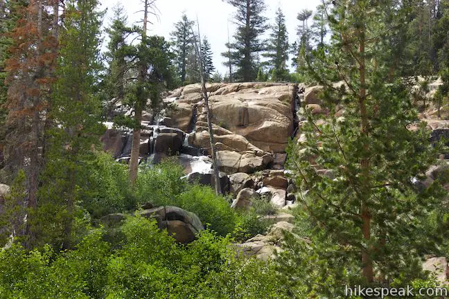
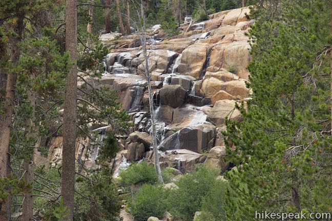
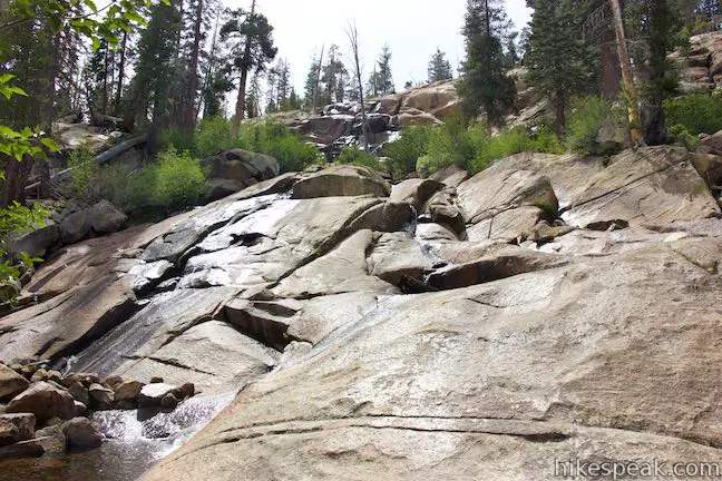
Minaret Falls is a tumbling waterfall in the Eastern Sierra near Mammoth Lakes. The waterfall plunges a slope above Pacific Crest Trail in the Ansel Adams Wilderness of Inyo National Forest. Starting from the main trailhead in Devils Postpile National Monument, it’s a 3-mile round trip hike to Minaret Falls (with the option to link this trail with hikes to Devils Postpile and Rainbow Falls). The waterfall cascades some 200 feet and can impress when water volumes are high, but definitely diminishes when water levels are low. The pleasant hike to the falls crosses through pine forests and is 3 miles round trip with 125 feet of elevation change.
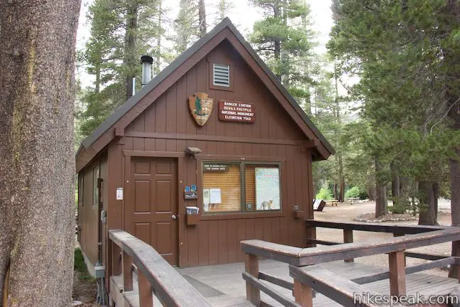
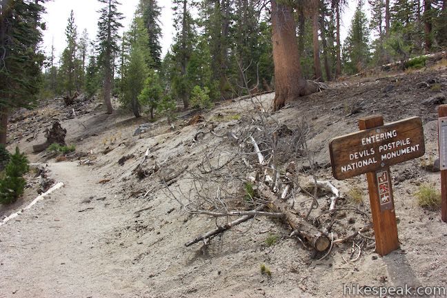
Begin from the end of the road to Devils Postpile National Monument near Mammoth Lakes where you’ll find a ranger station, a campground, and a trail entering the 800-acre park wrapped by national forest. The Devils Postpile Formation is less than half a mile away and a side trail off the monument’s main trail connects to Pacific Crest Trail to reach Minaret Falls.
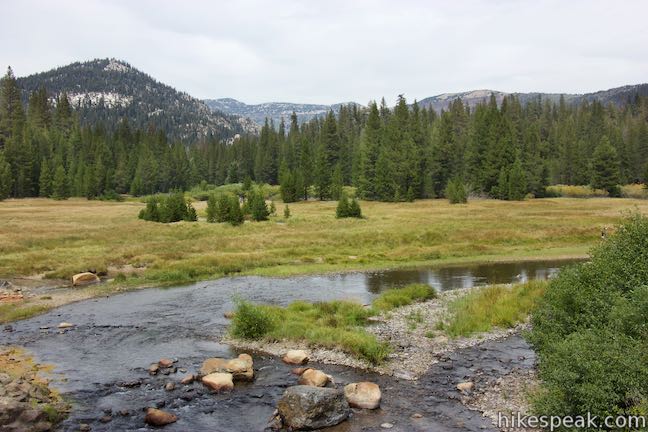
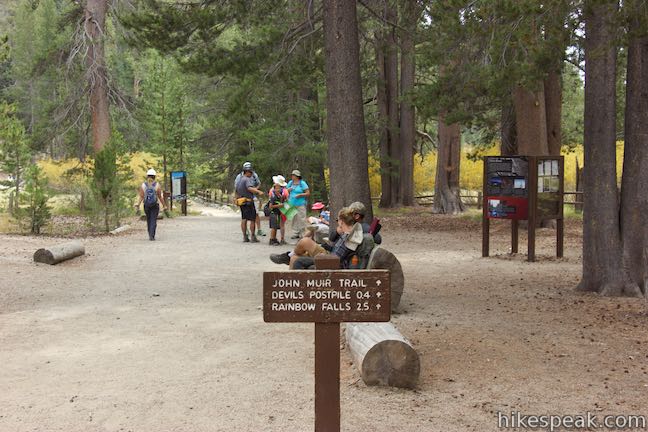
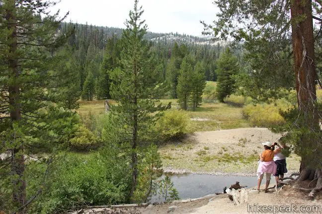
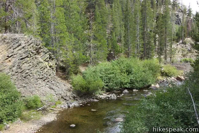
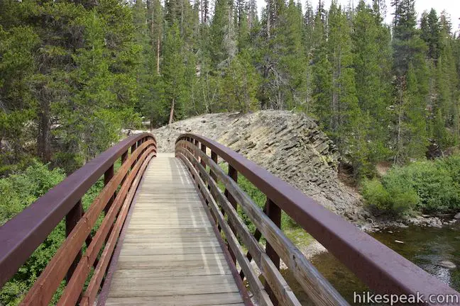
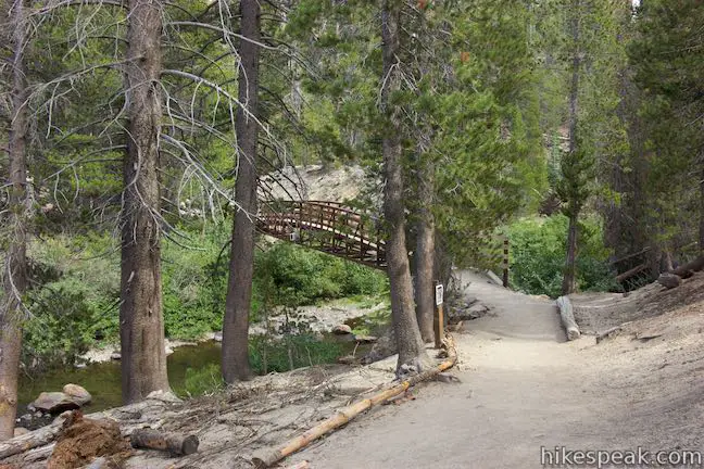
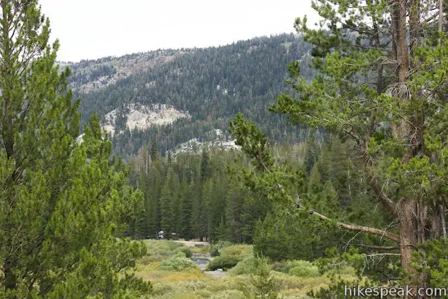
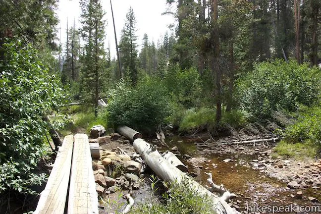
Take the only trail leaving the trailhead and hike along the edge of a forest bordering Soda Springs Meadow, a grassy area along the winding waters of Middle Fork San Joaquin River. The lovely meadow is backed by pine forests on all sides. After a quarter mile on the dirt trail, come to a split. The trail to Devils Postpile and Rainbow Falls proceeds to the left. Turn right to hike toward Minaret Falls. Shuffle up to a second junction where a trail on the left connects back to the other route (forming a triangle-shaped junction) and bear right over a bridge spanning the Middle Fork San Joaquin River. Just upstream and across the river, you’ll spot Soda Springs, where cold water bubbles to the surface of shallow pools right along the river. Look up across the lovely meadow or downstream as the river passes through a narrower opening between ridges.
On the opposite side of the bridge, a spur on the right leads down to the spring. Pass a basalt formation on the left that resembles a miniature postpile.
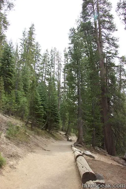
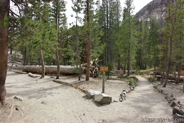
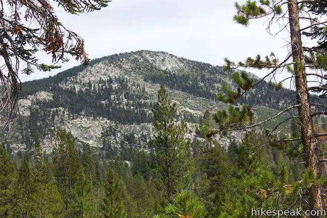
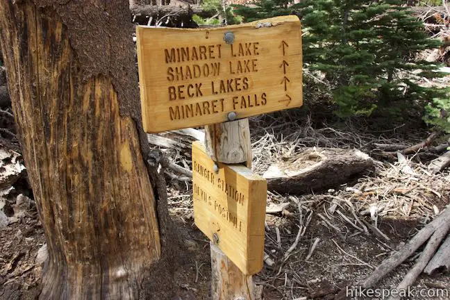
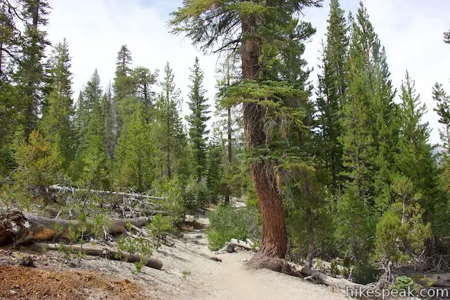
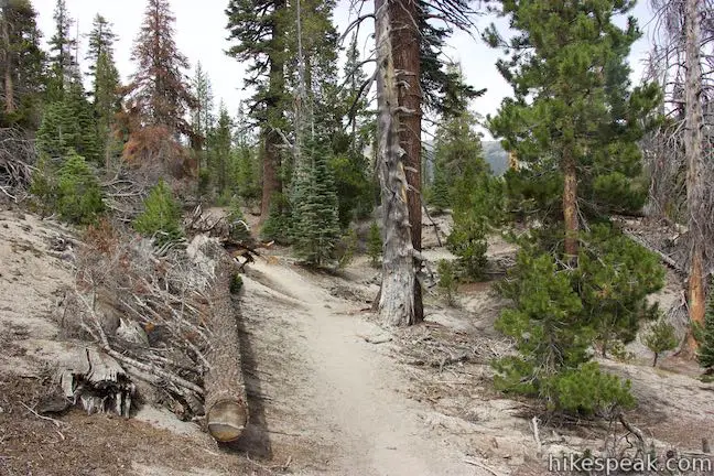
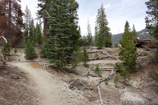
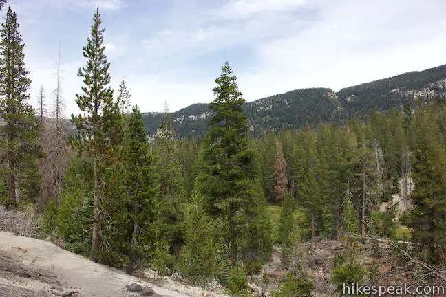
Come to another junction, 0.35 miles from the start, and turn right, following an arrow for Minaret Falls. To the left, King Creek Trail goes southeast toward Fern Lake. Minaret Falls Trail heads north now along the east side of a valley that surrounds Middle Fork San Joaquin River. Walk through a pine forest with views to your right over meadows along the river. Peaks on the ridge across the valley pop up above the forest.
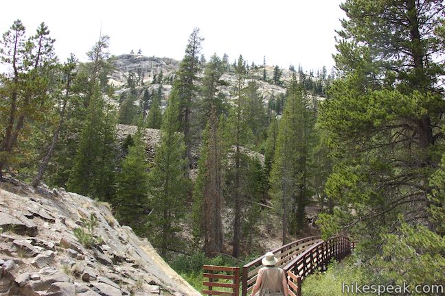
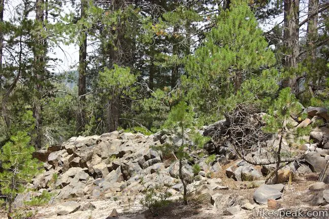
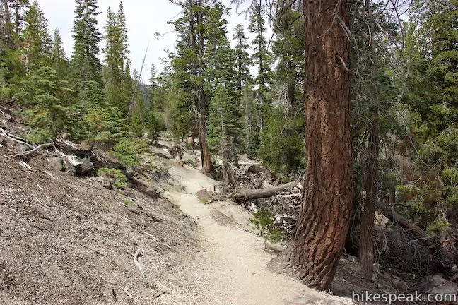
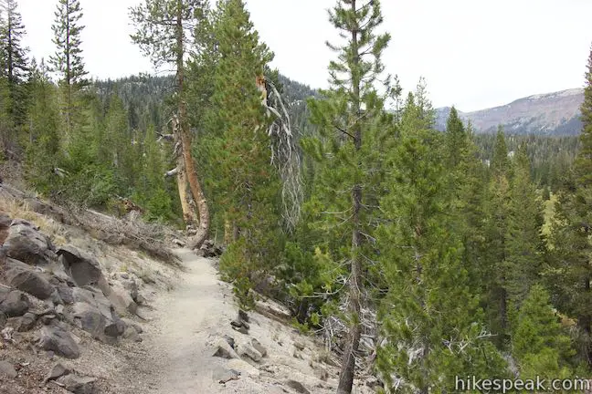
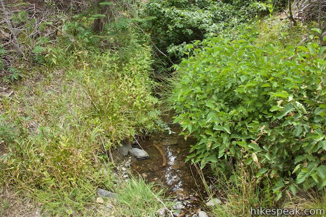
A third right turn comes at 0.85 miles from the start, when Minaret Falls Trail meets Pacific Crest Trail and John Muir Trail. Bear right onto PCT, following the arrow for Minaret Falls. After a tenth of a mile on PCT, you will pass the boundary of Devils Postpile National Monument and enter Inyo National Forest. Continue across rolling terrain, crossing a small stream after another 0.2 miles. Minaret Falls is located on a larger stream, 0.3 miles farther up the trail.
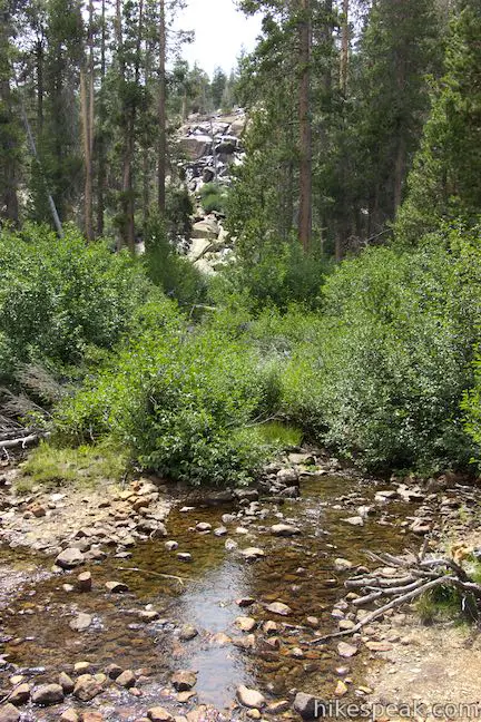
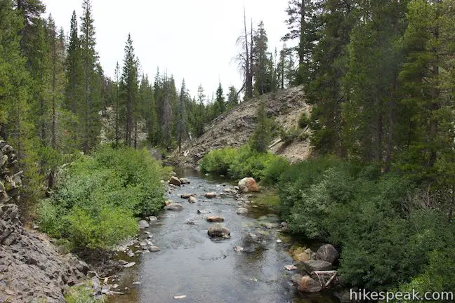
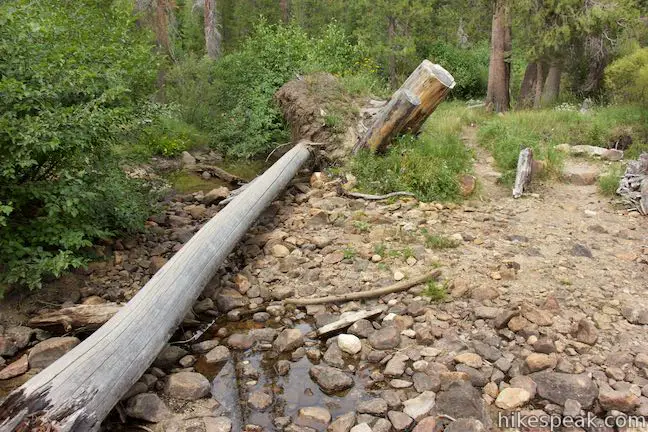
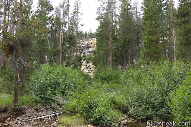
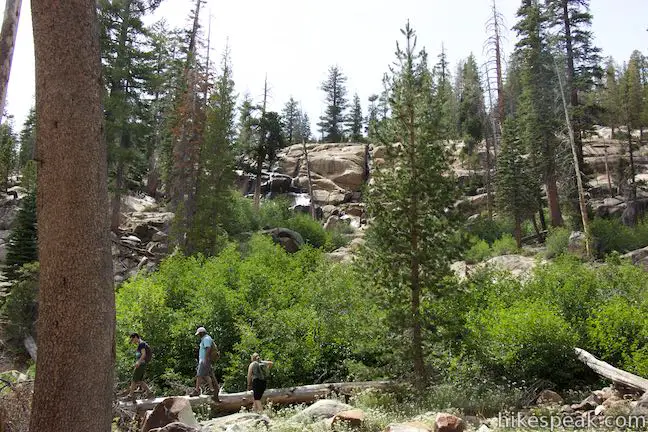
You will hear Minaret Falls and spot cascading water through the trees on the left side of the trail. After 0.6 miles on PCT (1.45 miles from the start), come to a log crossing over Minaret Creek. Walk out onto the log to get an upstream view of Minaret Falls.
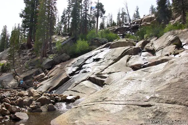
Unless you’re continuing north on PCT toward Canada, backtrack about 200 feet and find a path off the trail that goes to the base of Minaret Falls. Venture up to the bottom of the waterfall and take it in. When water flow is low, Minaret Falls becomes an under performing cascade of sliding water. When there is more water, Minaret Falls can grow to a thundering surge tumbling down a 200-foot granite slope.
When you’re finished admiring the waterfalls, walk back to Pacific Crest Trail, turn right and head back the way you came. Make a left turn at every junction to return to the start and complete this 3-mile hike. If you like, bear right on the trail to Devils Postpile and hike a tenth of a mile to that star rock formation. From there, you can explore more of the monument or return to the start. Dogs are allowed on this hike on leashes. Bikes are no allowed. A fee is required to visit Devils Postpile National Monument.
Directions to the Trailhead
- Take Route 395 to Route 203 and drive 3.6 miles to Mammoth Lakes.
- Turn right onto Minaret Road toward Mammoth Mountain.
- Reach the ski resort after another 4 miles.
- Those who are visiting the park for the day (not staying overnight at the campground) should park here and take the shuttle to Devils Postpile National Monument (fees apply).
- If you choose to drive to the monument, go another 1.4 miles past the ski resort to Minaret Vista Entrance Station where a 10 dollar fee is charged for each vehicle entering in the valley below.
- Drive 6.7 miles toward Reds Meadow.
- Turn right, following signs for Devils Postpile National Monument and drive the final 0.3 miles to Devils Postpile.
- You will come to a loop with parking at the end of the road.
- The ranger station is straight ahead, the campground is on the right, and the trail into Devils Postpile is to the left.
- The shuttle will drop hikers off outside the ranger station next to the trailhead.
Trailhead Location
Trailhead address: Minaret Summit Road, Mammoth Lakes, CA 93546
Trailhead coordinates: 37.6299, -119.0847 (37° 37′ 47.63″N 119° 05′ 04.91″W)
You may also view a regional map of surrounding Sierra Nevada trails and campgrounds.


 | Devils Postpile This 1 to 1.35-mile hike visits the columnar basalt cliff that Devils Postpile National Monument is named after, with top-down and bottom-up views of the impressive formation. The hike can be extended to include Rainbow Falls at the south end of the monument. |
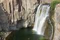 | Rainbow Falls This hike of 5.1 miles or more passes the Devils Postpile Formation to reach an attractive 101-foot waterfall with rainbows in its mist. |
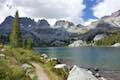
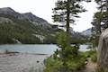 | Shadow Lake This 8.5-mile hike crosses a picturesque canyon and passes a plunging cascade to visit a mountain lake in the Ansel Adams Wilderness of Inyo National Forest near Mammoth Lakes. |
 | Ediza Lake This hike of around 15 miles round trip ventures above Shadow Lake along a creek to a beautiful lake below Mount Ritter and Banner Peak in the Ansel Adams Wilderness of Inyo National Forest near Mammoth Lakes. Ediza Lake is an excellent destination for backpackers. |
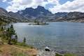 | Garnet Lake This beautiful lake along John Muir Trail is 8.55 miles from the trailhead at Agnew Meadows, making it an ideal lake to visit on a backpacking loop. |
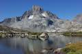
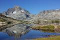 | Thousand Island Lake This exceptional lake is a true gem of the Sierra and is 8.75 miles from the trailhead at Agnew Meadows via High Trail, a section of Pacific Crest Trail, making it a great destination for an overnight trek. |
 | Ediza Lake - Thousand Island Lake Loop This multi-day backpacking loop of around 25 miles incorporates sections of John Muir Trail and Pacific Crest Trail to visit a series of stunning Sierra lakes in the Ansel Adams Wilderness of Inyo National Forest. |
 | More trails in the Sierra Nevada Mountains Explore other destinations in Ansel Adams Wilderness and the rest of the range. |
 | Devils Postpile National Monument Campground This 21-site first-come first-serve campground provides camping in a pine forest next the Middle Fork San Joaquin River near the trailhead for Devils Postpile National Monument. |
Common Questions about Minaret Falls Trail in Ansel Adams Wilderness and Devils Postpile National Monument
- Is the trail open?
- Yes. You should expect to find that Hike to Minaret Falls is open. There are no recent reports of trail closures. If you discover that the trail is closed, please help your fellow hikers by reporting a closure.
- Do I need a permit for this hike?
- Yes. Access fee.
- How much time does this hike take?
- It takes approximately 1 hour 15 minutes to hike Hike to Minaret Falls. Individual hiking times vary. Add extra time for breaks and taking in the views.
- How long is this hike?
- The hike to Hike to Minaret Falls is a 3 mile out and back with 125 feet of elevation change.
- Are dogs allowed on this trail?
- Yes, dogs are allowed on Hike to Minaret Falls. The trail is open to hikers, dogs.
- Will I see a waterfall on this hike?
- Yes, Hike to Minaret Falls features a waterfall.
- Where is the trailhead located?
- The trailhead for Hike to Minaret Falls is located in Mammoth Lakes, CA.
Trailhead Address:
Minaret Summit Road
Mammoth Lakes, CA 93546
Trailhead Coordinates:
37.6299, -119.0847 - What are the driving directions to the start of the hike?
To get to the trailhead: Take Route 395 to Route 203 and drive 3.6 miles to Mammoth Lakes. Turn right onto Minaret Road toward Mammoth Mountain. Reach the ski resort after another 4 miles. Those who are visiting the park for the day (not staying overnight at the campground) should park here and take the shuttle to Devils Postpile National Monument (fees apply). If you choose to drive to the monument, go another 1.4 miles past the ski resort to Minaret Vista Entrance Station where a 10 dollar fee is charged for each vehicle entering in the valley below. Drive 6.7 miles toward Reds Meadow. Turn right, following signs for Devils Postpile National Monument and drive the final 0.3 miles to Devils Postpile. You will come to a loop with parking at the end of the road. The ranger station is straight ahead, the campground is on the right, and the trail into Devils Postpile is to the left. The shuttle will drop hikers off outside the ranger station next to the trailhead.
View custom Google Maps directions from your current location.
- Are there other trails near Hike to Minaret Falls?
- Yes, you can find other nearby hikes using the Hikespeak Hike Finder Map.

Just came back from Minaret Falls campground yesterday, August, 2018, and the falls are flowing and thunderous. The falls are the first thing you hear when you wake up in the morning. It is warm in the afternoons and cold at night. A bit smoky in the early AM because of back burning, but doable.