May Lake is a high elevation lake off Tioga Road in Yosemite National Park north of Yosemite Valley. This 2.4-mile hike with 475 feet of elevation gain is a perfect outing for summer and early fall when the road and trail are free of snow.
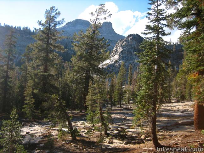
Stroll along a wide trail through a lovely pine forest. As you near the lake, gradually ascend a granite floor with sparser tree cover.
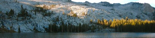
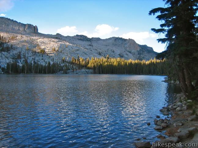
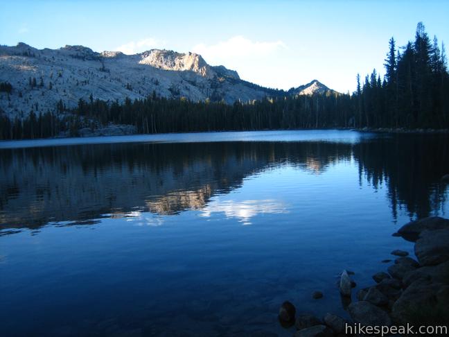
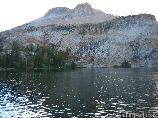
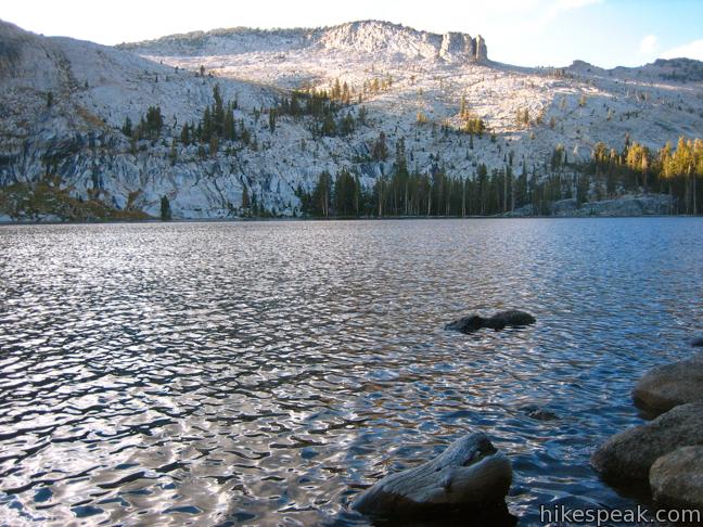
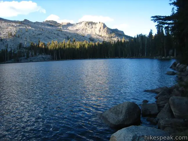
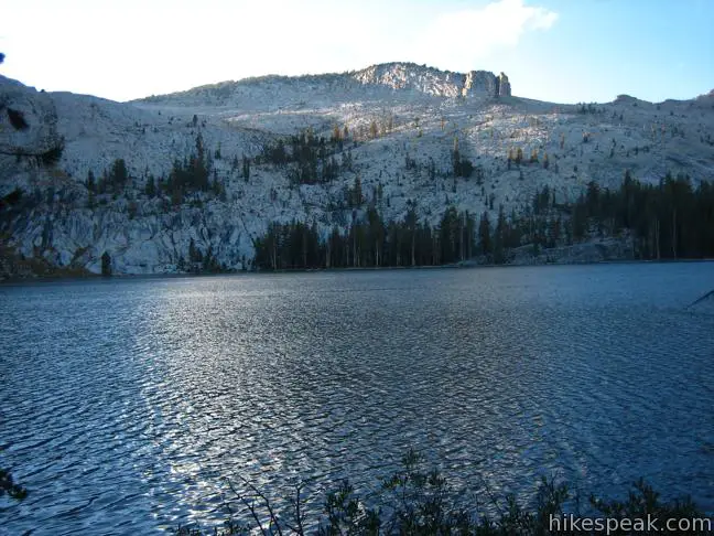
When you arrive at the edge of the mountain-cradled May Lake, you should feel immediately at peace. Take a stroll along the water’s edge or dip your toes in the shallows. The calm of May Lake is irresistible. Across the reflective waters is Mount Hoffman, a broad 10,850-foot summit. A Sierra Club Trail Camp is located at the end of the trail for those lucky enough to spend a night at the lake.
The hike back is brisk, making May Lake a perfect sunset hike, especially for those staying at nearby campgrounds on Tioga Road. Even on busy holiday weekends when Yosemite Valley fills with visitors, there is solitude to be found on the short hike to May Lake.
A rugged footpath leaves the north side of the lake and heads up Mount Hoffman, gaining 1,500 feet over two miles (along with sweeping Yosemite views). There may also be an ascent path from the south end of the lake near the Sierra Club Camp.
To get to the trailhead: From Yosemite Valley, drive west on Route 140 for seven long windy miles. Turn right on route 120, Tioga Road, and proceed 26.5 miles to May Lake. Turn north on May Lake Road and drive 1.7 miles to the trailhead at road’s end. Both May Lake and Tioga Road close seasonally. From the east, May Lake Road is four miles past Tenaya Lake.
Trailhead address: May Lake Road, Yosemite National Park, CA 95389
Trailhead coordinates: 37.832633, -119.491181 (37° 49′ 57.47″N 119° 29′ 28.25″W)
You may also view a regional map of surrounding Sierra Nevada trails and campgrounds.


 | Hetch Hetchy Reservoir and Wapama Falls This 5-mile hike tours a flooded valley to a thundering waterfall in the northwest corner of Yosemite National Park. |
 | Mirror Lake This 2 to 2.8-mile hike visits a reflective pool on the east end of Yosemite Valley. |
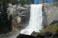
 | Lower Yosemite Fall Trail This 1.2-mile hike delivers visitors to the base of the tallest waterfall in North America. The experience is not to be missed. |
 | Bridalveil Fall Trail This easy paved half-mile trail visits the base of a 620-foot single-drop waterfall on the south side of Yosemite Valley. |
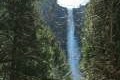
 | The Mist Trail to Vernal Fall and Nevada Fall This 1.8 to 6.1-mile hike takes an exciting course past two of Yosemite's prize waterfalls. |
 | Half Dome This epic 16-mile hike climbs 4,800 feet on one of Yosemite's most popular and most challenging trails. |
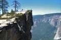 | Taft Point Trail This 2-mile round trip hike visits an overlook on the south wall of Yosemite Valley with fascinating rock fissures carved into the exposed granite. |
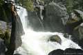 | Chilnualna Falls Trail This 8-mile round trip hike ascends 2,200 feet past a raucous string of cascades to the top of a waterfall alongside Wawona Dome. |
 | Mariposa Grove of Giant Sequoias This 1.6-mile hike (or longer) visits the biggest trees in Yosemite. |
 | More trails in the Sierra Nevada Mountains Explore other destinations in Yosemite National Park and the rest of the range. |
 | Yosemite National Park Campgrounds There are 13 campgrounds with over 1,600 total sites spread throughout the park to facilitate your visit. |

Can you catch a shuttle to the May Lake trailhead? If not, how far is it from Olmstead?
Shuttles aren’t running at all in 2021, but even if they were, they don’t go to the May Lake trailhead. It’s on a segment of the old Tioga Road dating from before the current highway was blasted through to Olmsted Point. When the Tuolumne shuttle bus IS running, you can tell the driver you want the trail to May Lake. Don’t get off the bus at Olmsted. The bus stop is on the south side of the road about halfway between Olmsted Pt and Tenaya Lake. Cross the road and walk up the old Tioga Road to the May Lake parking lot. Can’t remember how far it is exactly… A mile? Maybe a little more? Look on your map.
Where is the nearest lodging to May Lake?
I don’t know when you wrote this — a date would be really helpful — but as of 7/9/21, a Yosemite backcountry ranger confirmed that swimming is definitely permitted in May Lake. I can’t think of any Yosemite lakes where swimming is banned except Hetch Hetchy.
We were at May Lake yesterday (10/7/2022) There are (at least) three signs on the lake shore saying “No swimming. Domestic Water Supply.” We were quite disappointed, as we hiked there specifically to take a dip. Do they only apply to the section of lakefront by the High Sierra Camp? I don’t know.
There’s a High Sierra Camp right at the lake. It’s fantastically expensive, when it’s open (which it isn’t in 2021). The nearest vehicle-accessible lodging is tent cabins at Tuolumne Meadows Lodge. If you want a place where you don’t have to stumble down a trail in the night to reach a toilet, the nearest place is Tioga Pass Resort (if it’s open) or the town of Lee Vining on Highway 395 (which always has places open).