Gaviota Pass Overlook Loop
in Gaviota State Park
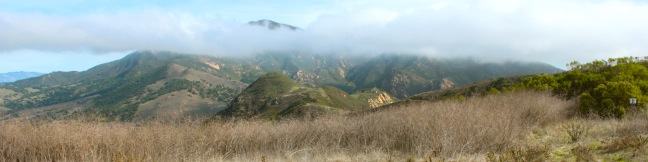
Gaviota State Park preserves 2,787 oceanfront acres in the rugged and beautiful Santa Ynez Mountains west of Santa Barbara. If the park was not sliced down the middle by Highway 101, it would surely be one of the most popular state parks on the Central Coast. The presence of the freeway certainly cuts down on crowds, enabling hikers to enjoy the largely untainted scenery in relative solitude. From a freeway-convenient trailhead on the northwest end of the Park, embark on a 6.5-mile loop that rises 650 feet en route to Gaviota Pass Overlook, a perch at the narrow tip of a breathtaking ridge that presents soaring mountain views and a panorama that includes the Pacific Ocean.
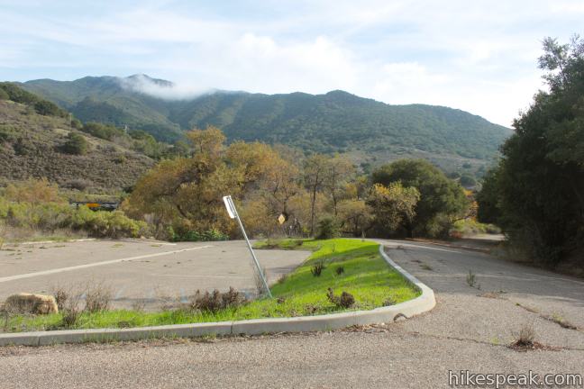
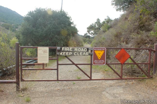
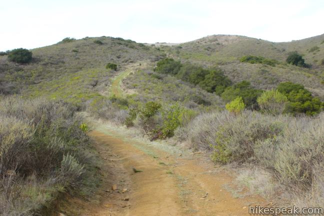
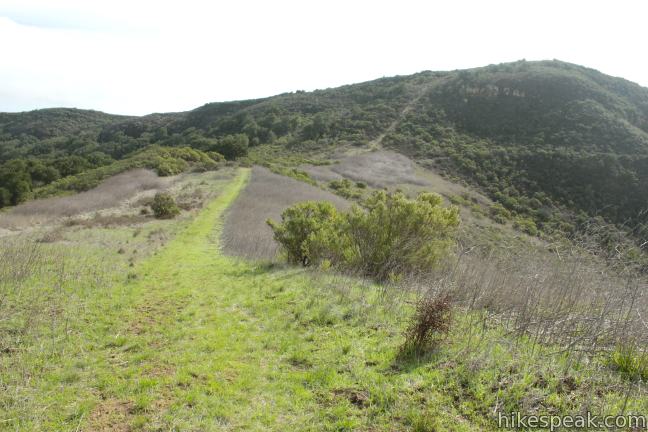
Start from a parking area just off Highway 101 on San Julian Road near the Vista de las Cruces School in Las Cruces. Walk less than a quarter mile from the parking lot to the gate at the end of the road where the trail begins. Aside from this paved commencement, all but the final leg of the loop are on wide grassy dirt trails, making for a group-friendly hike.
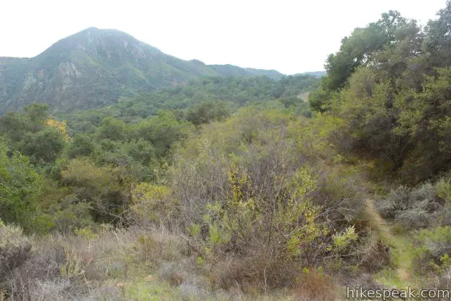
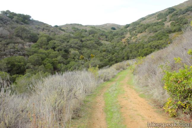
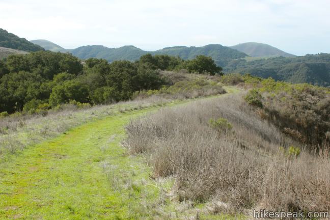
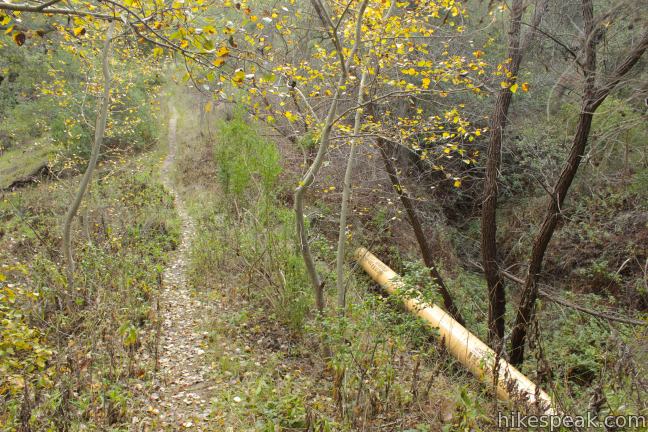
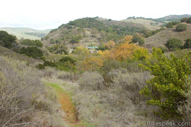
Beyond the gate, Las Cruces Trail continues south, parallel to the freeway toward grassy slopes running along Gaviota Pass. A tenth of a mile past the gate, meet an easy-to-overlook single track breaking off to the left. This is Ortega Trail, which will be your route back at the end of the loop. For now, stick with Las Cruces Trail as it bends westward away from the freeway and gains elevation. Just under half a mile from the start, pass a small structure and a sign marking a gas pipeline. The loop will intersect several of these pipelines in Gaviota State Park.
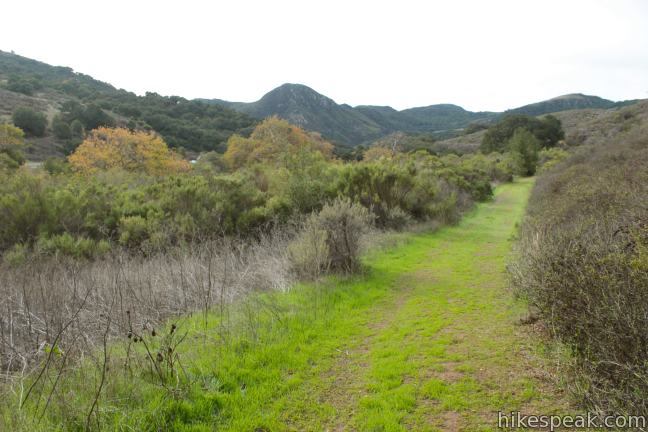
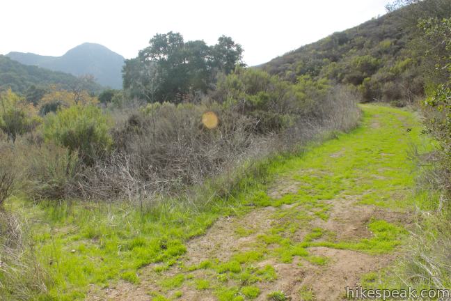
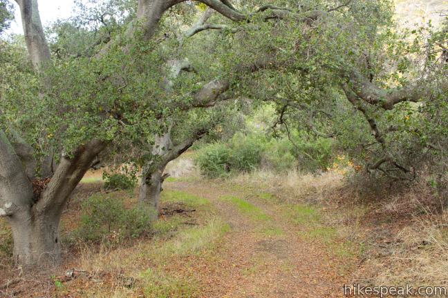
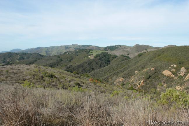
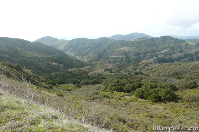
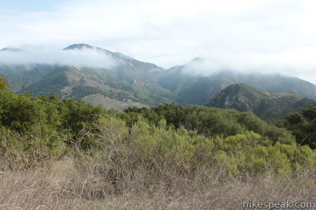
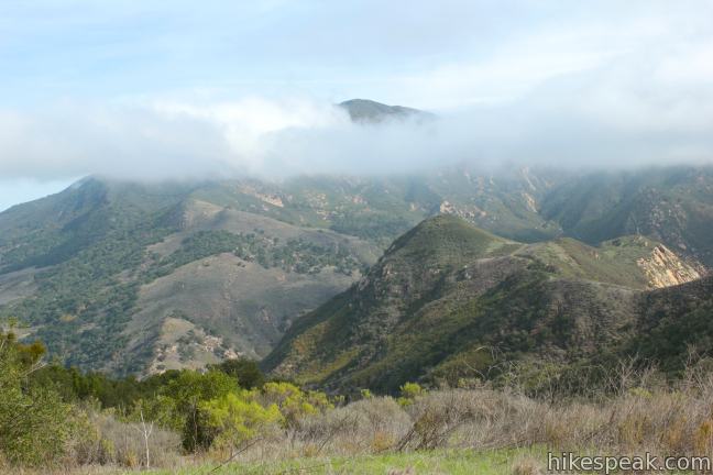
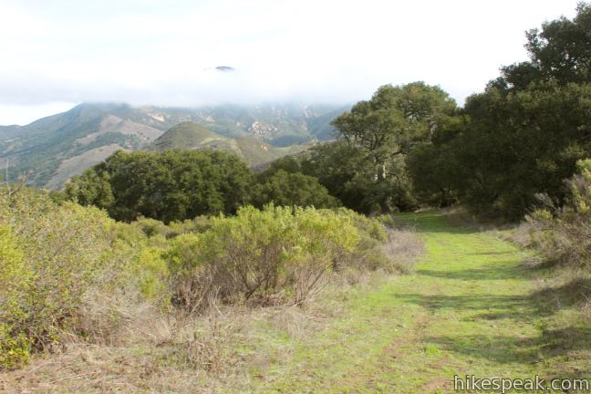
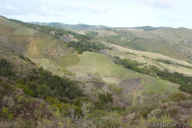
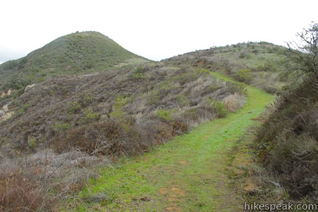
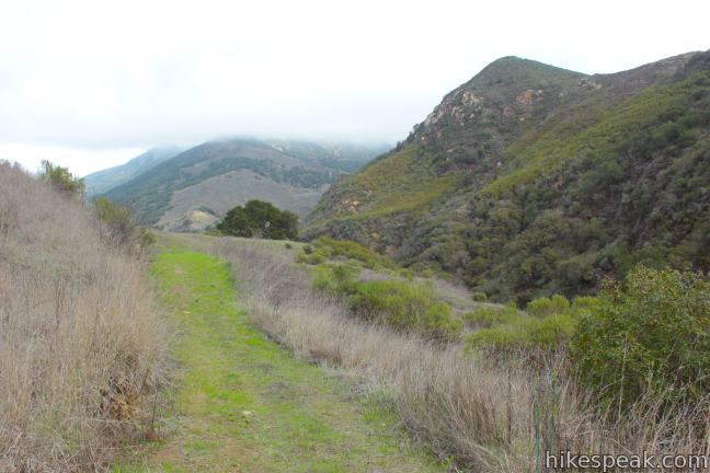
Continue up the wide dirt trail into a draw in the mountainside where you will pass through a grove of large live oaks. After rounding the back of the draw, you will rise up to a level sage-covered landing on a low ridge. Here you will have an excellent perspective of the mountains on the east side of the park, most notably the 2,458-foot Gaviota Peak.
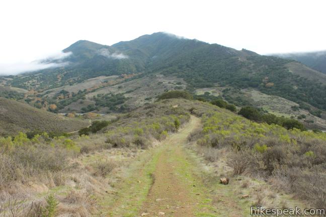
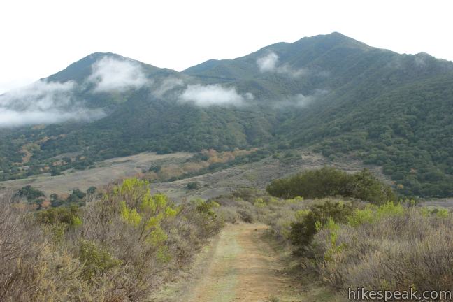
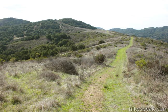
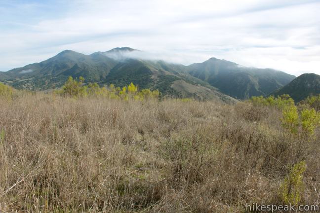
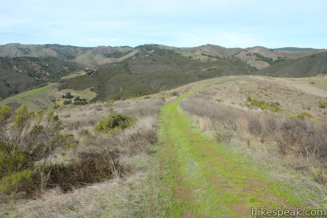
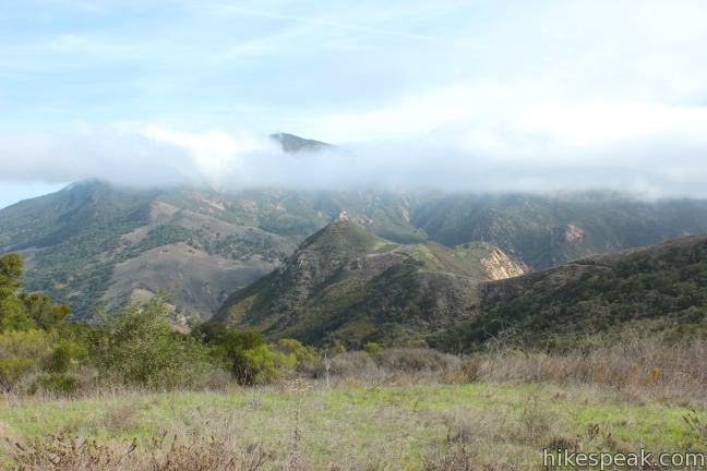
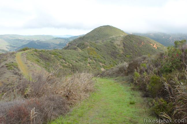
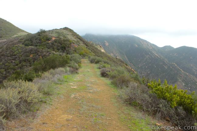
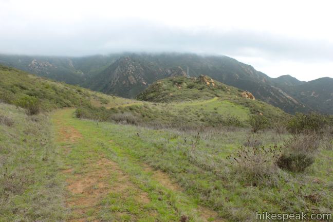
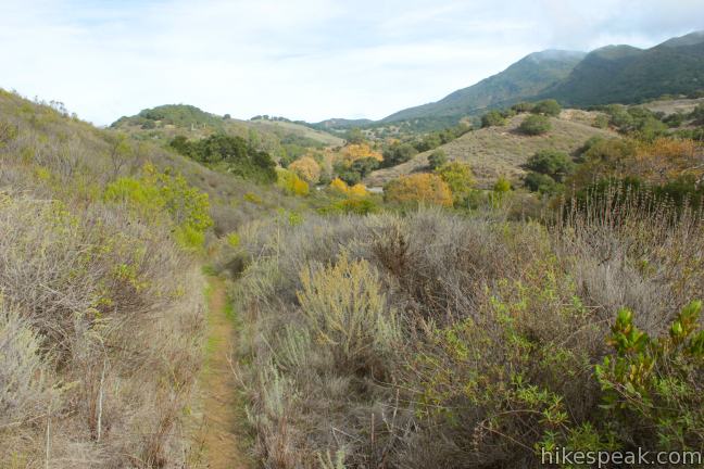
The toughest stretch of the hike lies ahead as the trail gains 300 feet over the next 0.4 miles. At the top of the climb, you will hit an unmarked junction with Hollister Trail, 1.5 miles from the start. Catch your breath and turn left up the wide grassy road. The big climb is over and you can now enjoy spectacular views as you amble along this rolling ridge trail, which crosses the highest point of the loop at 950 feet above sea level.
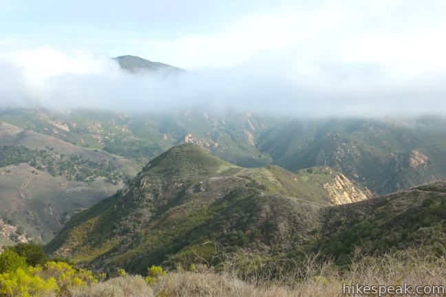
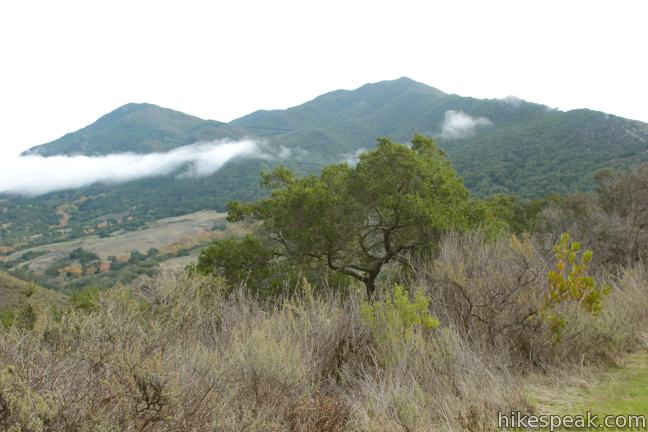
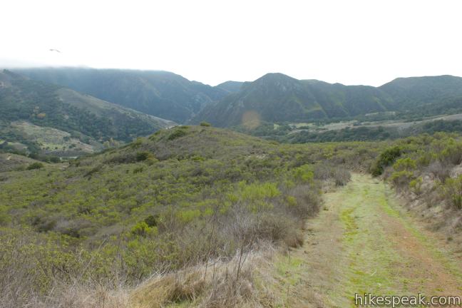
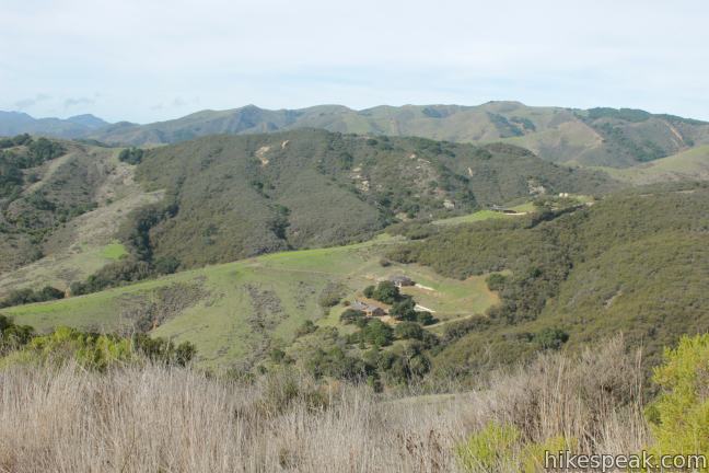
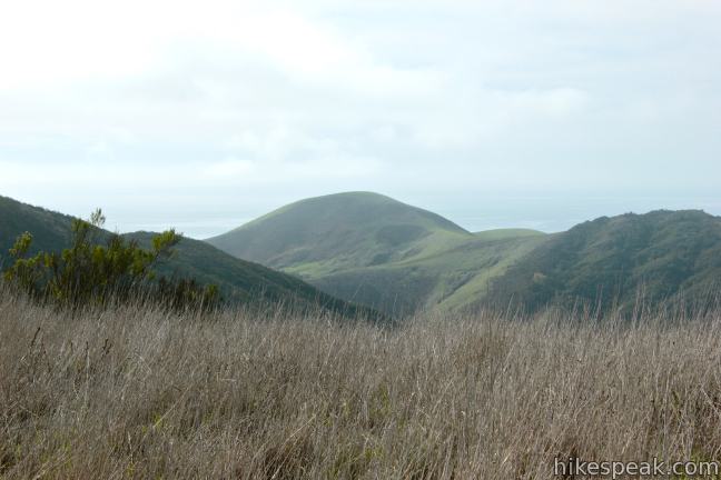
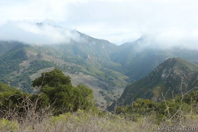
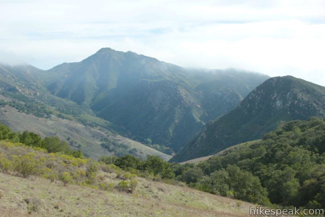
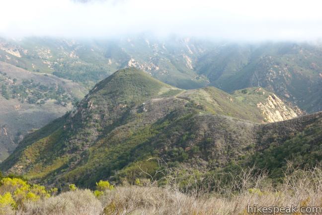
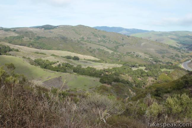
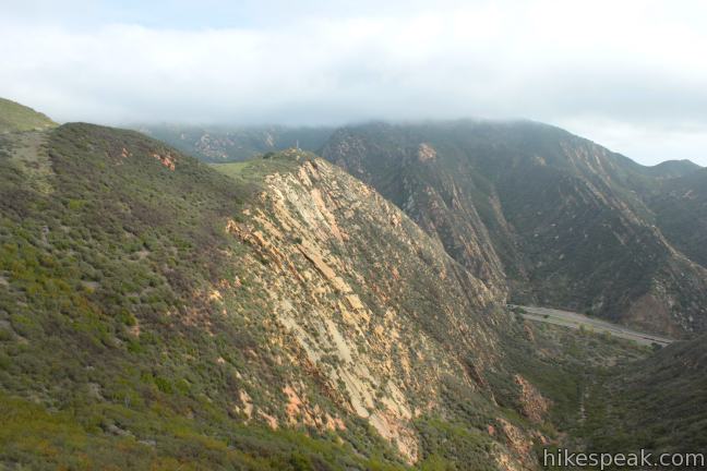
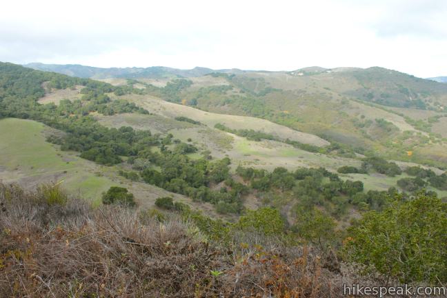
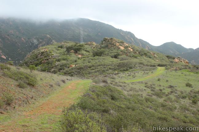
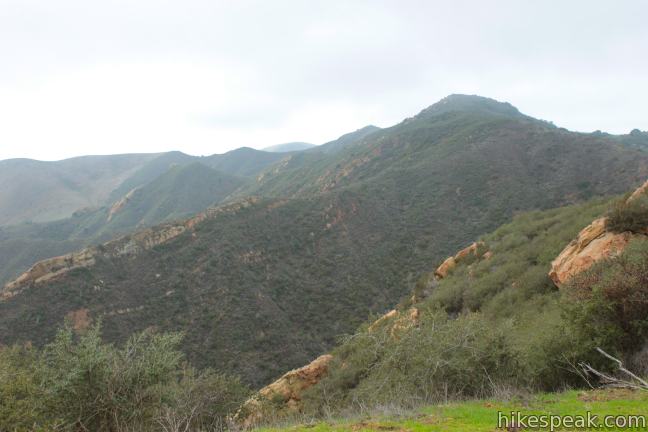
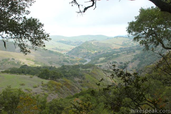
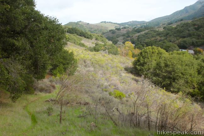
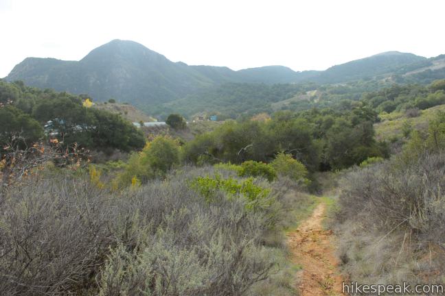
A new view opens up to the west over a sylvan coastal canyon, Cañada de Agua Caliente. Beyond that lies the rolling green hills at the west end of the Santa Ynez Mountain Range and the shimmering waters of the Pacific Ocean. Not to be forgotten is the view to the west, where Gaviota Peak looms large. As you continue along Hollister Trail, you will come into perfect alignment with the rugged canyon south of Gaviota Peak (which can be explored via Trespass Trail). The trail to Gaviota Pass Overlook becomes visible as well, crossing a stunning green ridge beneath Gaviota Peak that is buttressed by steep orange sandstone walls. Enjoy interchanging views to the east and west as you progress up the scenic trail.
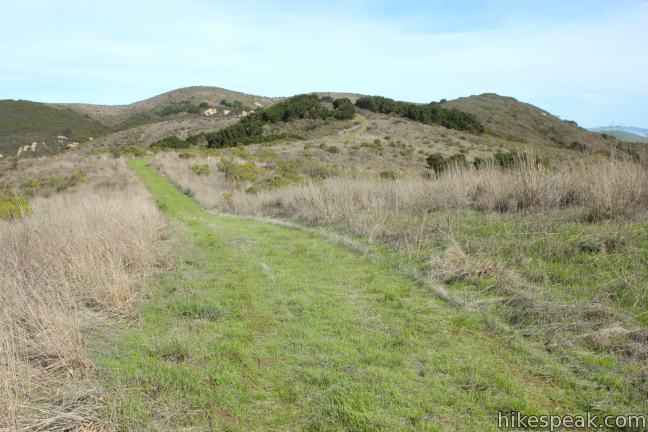
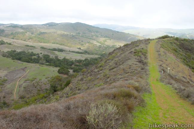
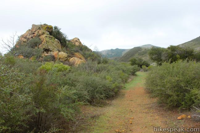
After 1.3 miles on Hollister Trail, you will pass a narrow path breaking off to the right, following the gas line higher up the ridge. Stay to the left on the wide trail as it suddenly descends from the ridge into an oak-lined ravine. After dropping close to 200 feet in 0.2 miles, the trail levels out and comes to an unmarked junction with Overlook Fire Road, 3 miles from the start. The route you will take back to the trailhead is to the left, but first turn right setting your aim for Gaviota Pass Overlook.
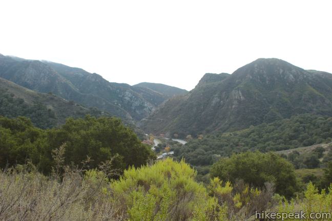
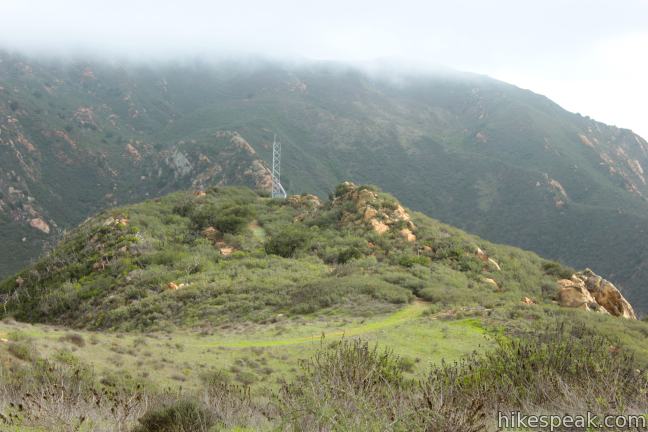
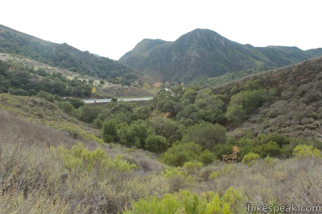
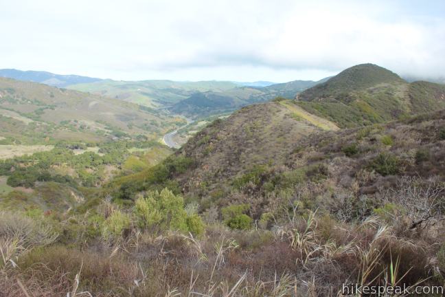
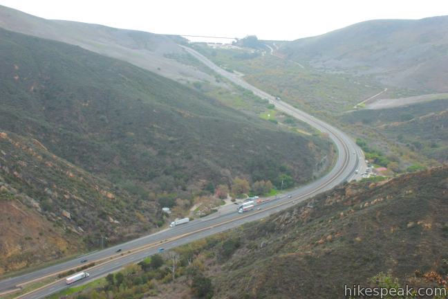
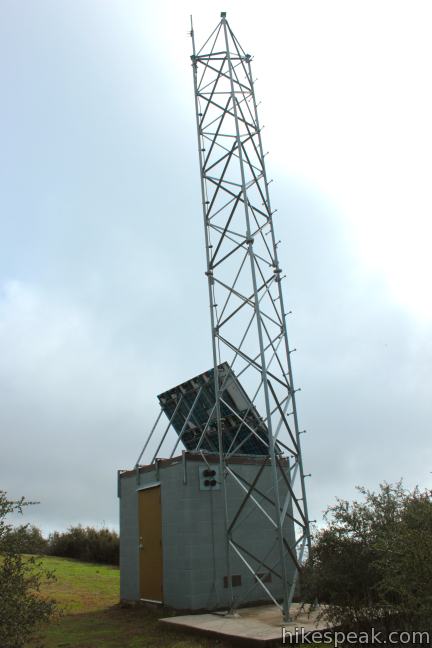
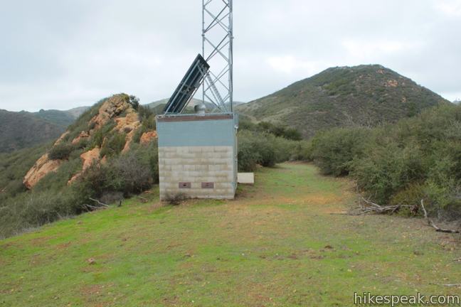
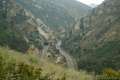
Leaving the junction, the trail rises steeply through more oaks, causing you to wonder why the previous trail sent you so far downhill. Fear not, the trail quickly tapers and eventually descends toward the ridge where you will spot Gaviota Pass Overlook, a 827-foot vista point marked by a radio tower and a small building on a jutting ridge that soars above Gaviota Pass. It is 3/4 of a mile from the junction to Gaviota Pass Overlook.
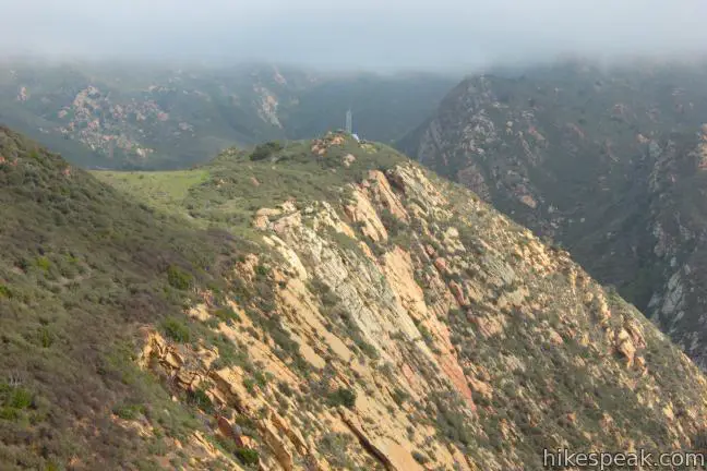
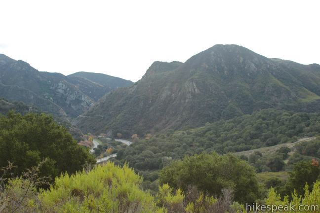
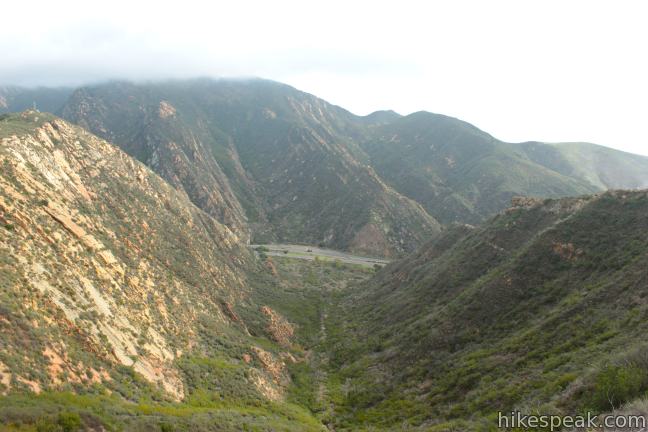
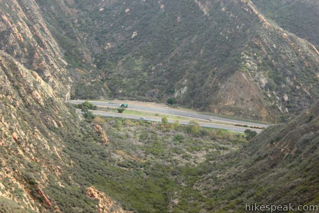
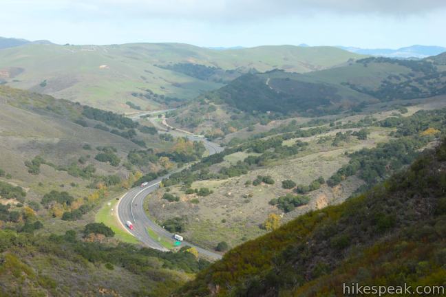
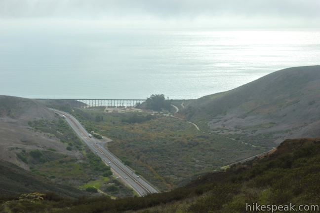
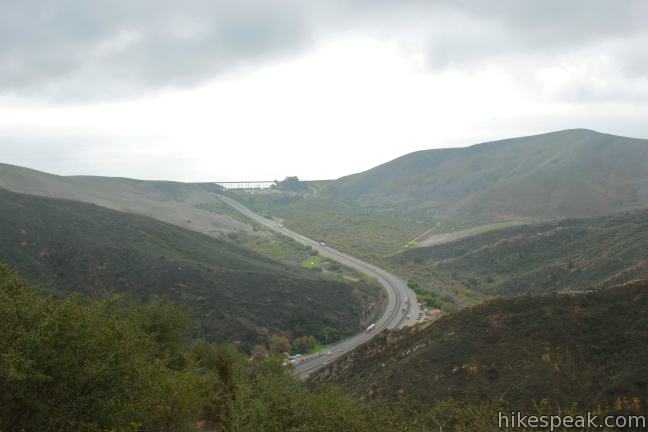
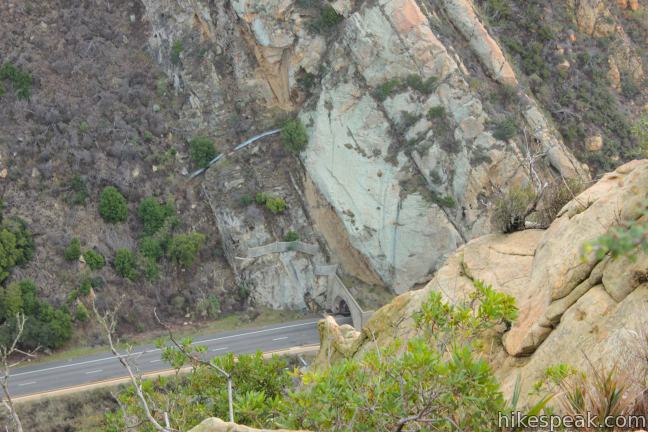
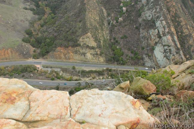
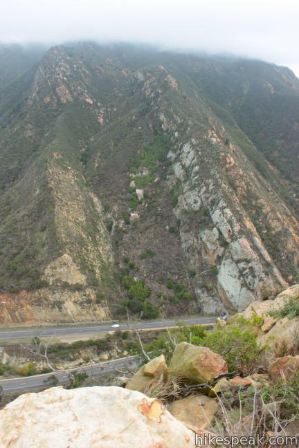
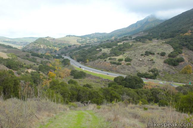
The trail crosses a dip in the dramatic narrow ridge. Look down the rocky slope to the south where you can spot the entrance of the Gaviota Tunnel, the adjacent highway rest area, and the Gaviota State Park Campground nestled up against the Pacific Ocean. Beyond the dip in the ridge, take in a striking view north up Highway 101 as it weaves down Gaviota Pass like a river of concrete flowing out of the Santa Ynez Valley.
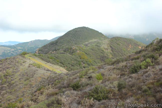
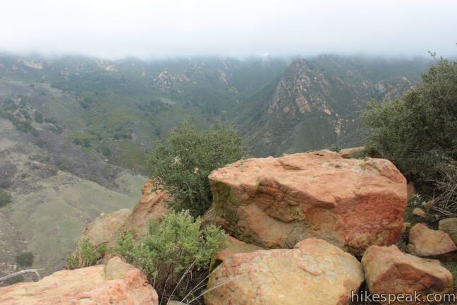
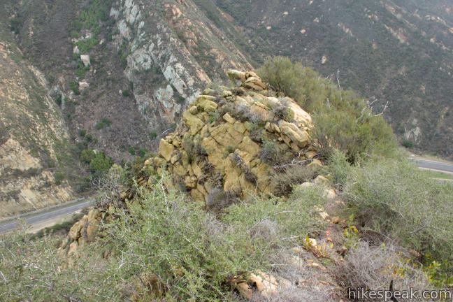
The trail ends at Gaviota Pass Overlook (3.75 miles from the start) where there is a small clearing next to the radio tower. Look up toward Gaviota Peak and down across the coast. A path to the left leads to an outcropping of rocks where you can look down the sheer mountainside over a nearly vertical drop to the north side of the Gaviota Tunnel, 750 feet below.
There is another path straight ahead of the radio tower that ventures farther down the narrowing (and harrowing) rocky ridge. The views here are extraordinary, looking south toward the pacific, but the terrain becomes quite daunting and steep.
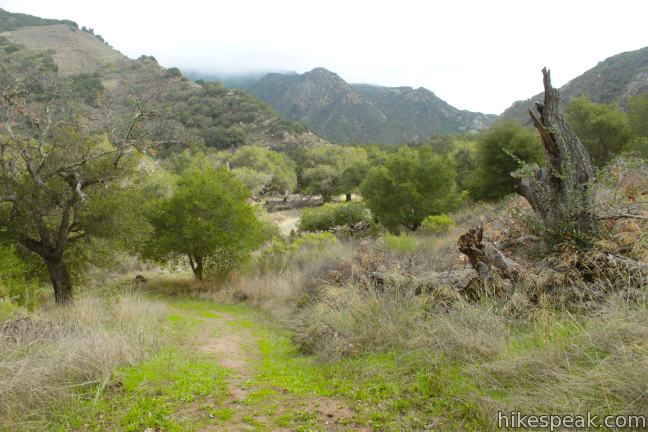
After taking in the breathtaking views, it is time to head back. Retrace your steps back to the previous junction and stay to the right, continuing down Overlook Fire Road. The trail passes through more grand oaks leading to sagebrush and toyon-covered slopes nearer Highway 101.
As you get close to the motorway, be on the lookout for an unmarked single track breaking off to the left. Ortega Trail comes one miles from the previous junction (5.5 miles from the start), just before Overlook Fire Road drops all the way down to the freeway and Gaviota Creek.
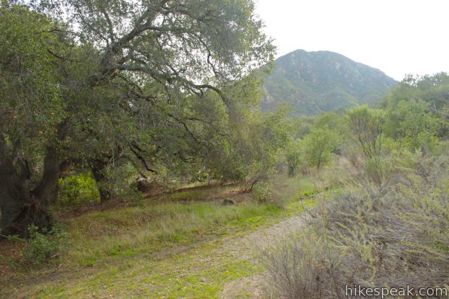
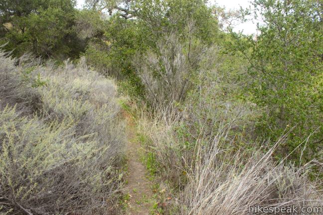
Turn left on Ortega Trail and enjoy a new hiking experience on a narrow and overgrown, but easy to follow path. Ortega Trail aims north following a gas pipeline on a rolling course through trees and brush. After 2/3 of a mile of single track, you will pop out on Las Cruses Trail. Turn right, hike a tenth of a mile to the end of the trail and continue up the paved road to your vehicle.
This loop to Gaviota Pass Overlook is 6.5 miles round trip. You could shorten the hike by a mile by converting it into an out and back hike on Ortega Trail and Overlook Fire Road, but that would remove some of the hike’s best views. Dogs are not allowed on trails in Gaviota State Park, but mountain bikes are allowed on this loop. No permit is required to hike to Gaviota Pass Overlook and it is free to park at the trailhead, so get out and enjoy!
Directions to the Trailhead
- From Santa Barbara, travel west for 30 miles on Highway 101 to exit 132 for California One north toward Lompoc and the Vandenberg AFB.
- The exit is 8 miles south of Buellton.
- Head west on Highway One for 2/3 of a mile and turn left on San Julian Road.
- Proceed 0.6 miles to the trailhead parking area, which will be on the left.
Trailhead Location
Trailhead address: San Julian Road, Gaviota State Park, Gaviota, CA 93117
Trailhead coordinates: 34.507693, -120.227949 (34° 30′ 27.69″N 120° 13′ 40.61″W)
View Gaviota State Park in a larger map
Or view a regional map of surrounding Central Coast trails and campgrounds.

 | Gaviota Wind Caves This 2.5-mile hike just off Highway 101 visits wind-carved caves in Gaviota State Park with great ocean views. |
 | Gaviota Peak This 6.5-mile loop mounts a 2,458-foot summit two miles from the Pacific and then descends Trespass Trail to explore the wilds of the Santa Ynez Mountains. |
 | Gaviota Hot Springs This short hike visits a warm hot springs along the trail to Gaviota Peak in Gaviota State Park. |
 | Tunnel View and Trespass Trails Loop This 2.6-mile loop steals a view over Highway 101 and the Gaviota Tunnel. |
 | Nojoqui Falls This short 0.65-mile hike visits an 80-foot tall fern-lined waterfall. |
 | More Central Coast Hikes Explore other destinations along the California coast between Ventura and Monterey, including trails in Los Padres National Forest. |
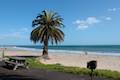
 | Gaviota State Park Campground With 39 sites situated right next to the beach and proximity to many hiking trails, this coastal campground has a lot of appeal. |
 | Refugio State Beach Campground This 67-site campground is a great oceanfront camping destination along the coast west of Santa Barbara, just three miles from El Capitán State Beach. |
 | El Capitán State Beach Campground This 132-site campground offers oceanfront camping along the coast west of Santa Barbara, just three miles from Refugio State Beach. |
Common Questions about Gaviota Pass Overlook Loop in Gaviota State Park
- Is the trail open?
- Yes. You should expect to find that Gaviota Pass Overlook Loop is open. There are no recent reports of trail closures. If you discover that the trail is closed, please help your fellow hikers by reporting a closure.
- Is this trail free to access?
- Yes, Gaviota Pass Overlook Loop is free to access. No entrance fee, pass, or permit is required. If you discover that access rules have changed, please provide feedback on your experience.
- How much time does this hike take?
- It takes approximately 3 hours 15 minutes to hike Gaviota Pass Overlook Loop. Individual hiking times vary. Add extra time for breaks and taking in the views.
- How long is this hike?
- The hike to Gaviota Pass Overlook Loop is a 6.5 mile loop with 650 feet of elevation change.
- Are dogs allowed on this trail?
- No, dogs are likely not allowed on Gaviota Pass Overlook Loop. The trail is primarily open to hikers, bikes.
- Are there ocean views on this hike?
- Yes, Gaviota Pass Overlook Loop offers views of the ocean.
- What mountain range is this trail in?
- Gaviota Pass Overlook Loop is located in the Santa Ynez Mountains.
- Where is the trailhead located?
- The trailhead for Gaviota Pass Overlook Loop is located in Gaviota, CA.
Trailhead Address:
San Julian Road
Gaviota, CA 93117
Trailhead Coordinates:
34.507693, -120.227949 - What are the driving directions to the start of the hike?
To get to the trailhead: From Santa Barbara, travel west for 30 miles on Highway 101 to exit 132 for California One north toward Lompoc and the Vandenberg AFB. The exit is 8 miles south of Buellton. Head west on Highway One for 2/3 of a mile and turn left on San Julian Road. Proceed 0.6 miles to the trailhead parking area, which will be on the left.
View custom Google Maps directions from your current location.
- Are there other trails near Gaviota Pass Overlook Loop?
- Yes, you can find other nearby hikes using the Hikespeak Hike Finder Map.

Great hike. Completed the loop in about 2.5 hours this morning. The view from the towers looking straight down to the freeway is breathtaking.
Dogs not allowed.