Corbin Canyon Park
in the Santa Monica Mountains
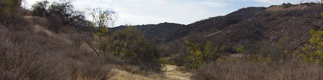
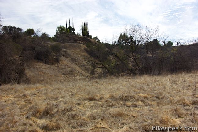
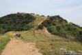
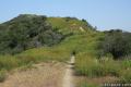
Corbin Canyon Park is a less visited pocket of Topange State Park in the Santa Monica Mountains. The 328-acre parcel stretches into the mountains from neighborhoods in Tarzana and Woodland Hills, presenting a small offering of trails that are isolated from longer routes through the Santa Monica Mountains. Corbin Canyon hosts trails for a pleasant and manageable 2.05-mile partial loop with 150 feet of elevation change, exploring the grasses and oaks along the bottom of the canyon. That distance can be easily trimmed to half a mile for an even shorter loop through the park.
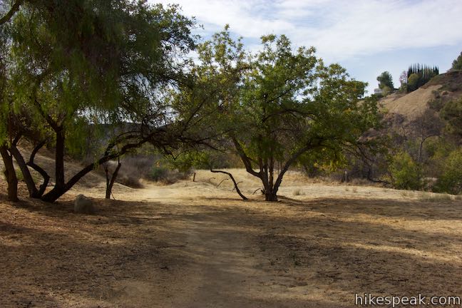
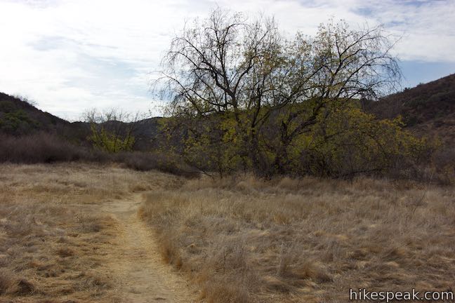
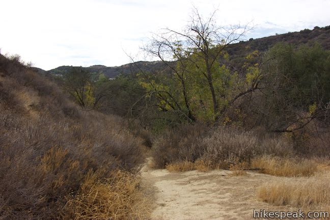
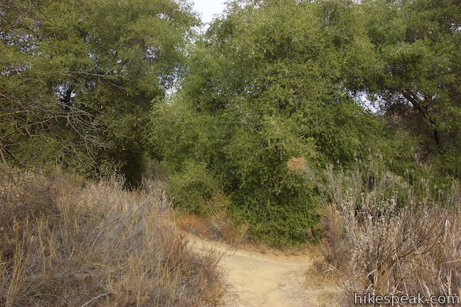
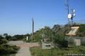
Corbin Canyon Park can be accessed from trailheads at ends of Corbin Avenue and Queen Victoria Road, two neighboring streets in Tarzana and Woodland Hills. The loop described here begins from Corbin Avenue, but could easily be adjusted if you prefer to start from Queen Victoria Road. Set out from the end of Corbin Avenue on a dirt single track through a grassland dotted with oaks. You will immediately pass a plaque on the left that recounts how Corbin Canyon’s acreage was acquired in 2001 by Santa Monica Mountains Conservancy and transferred to California State Parks in 2002. After its acquisition, Corbin Canyon became part of Topanga State Park.
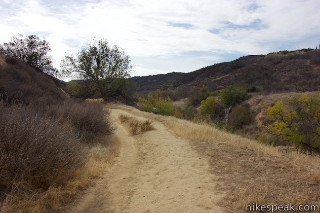
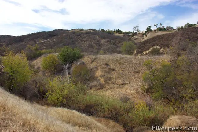
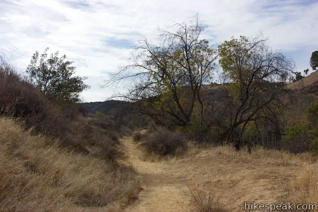
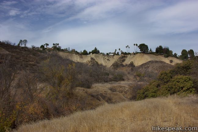
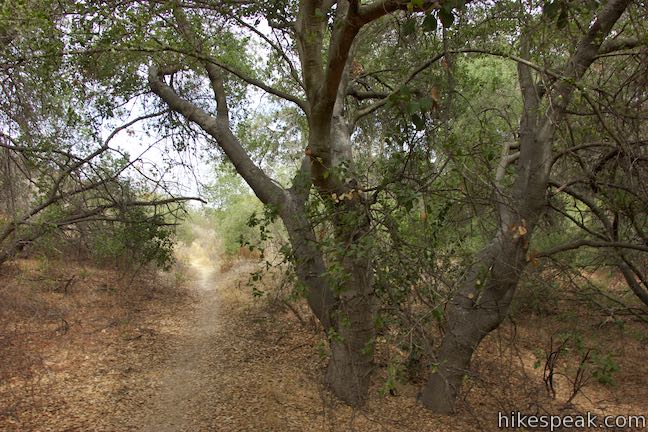
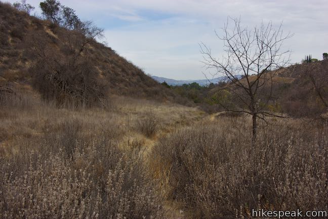
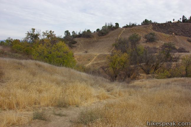
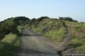
Hiking past the plaque, you will notice that the park trails are slightly under developed with no markers. Still, you should be able to stay on course for the hike described here. Proceed south along the east side of the canyon. A few houses will be visible on the ridges that frame the canyon, but otherwise, you’ve escaped into a pocket of nature.
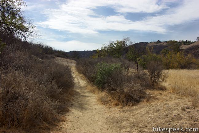
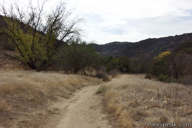
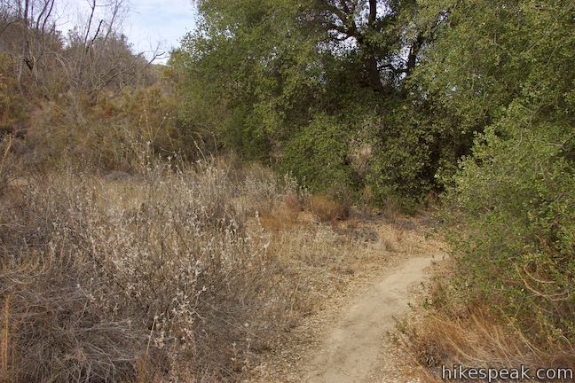
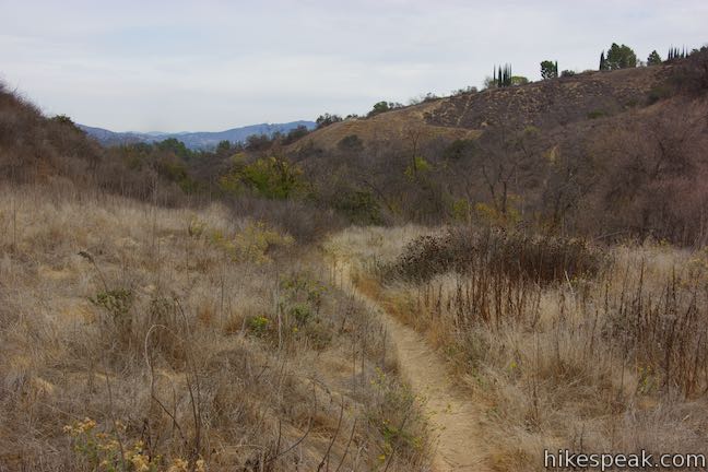
After a quarter mile, come to an intersection with footpaths crossing the trail. The path on the right rises toward Ellenita Avenue, liking up with other footpaths that crisscross the park. The trail on the right drops across the bottom of the canyon and meets a trail on the west side of the canyon. You will use this connector to form the loop described here. For now, stick with the main trail and continue hiking south into the canyon.
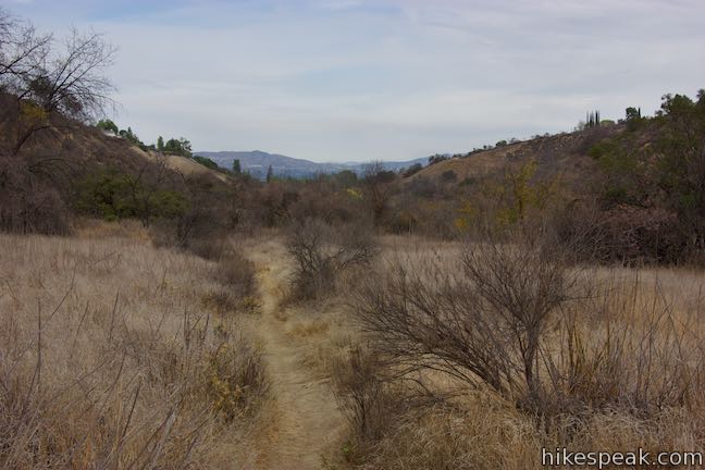
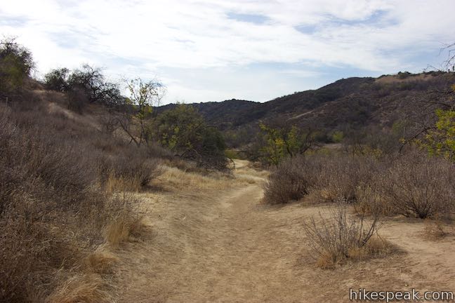
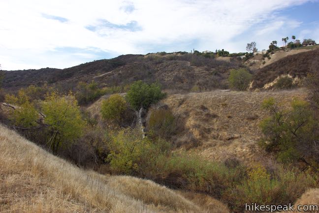
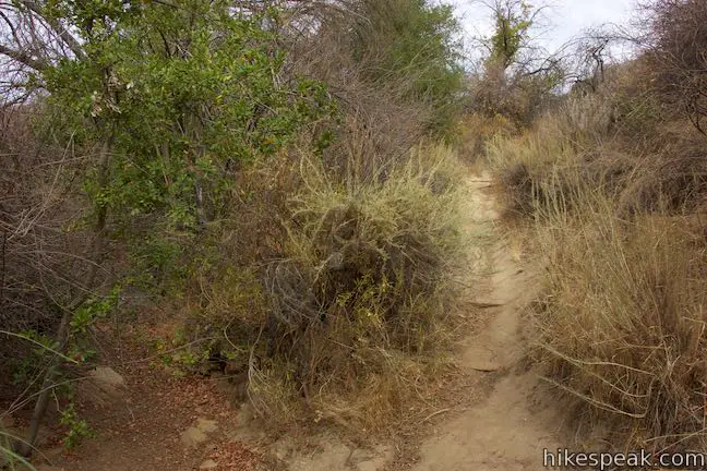
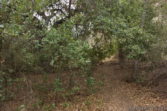
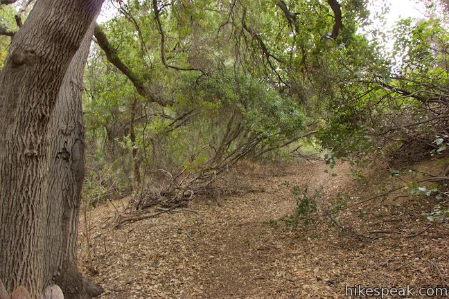
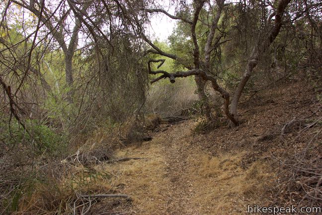
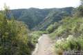
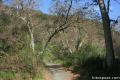
Corbin Canyon Trail continues south through grasses and oaks. Eventually, the trail dips across the creek bed running down Corbin Canyon. Step up the other side and pass through an archway of branches from the surrounding oak trees.
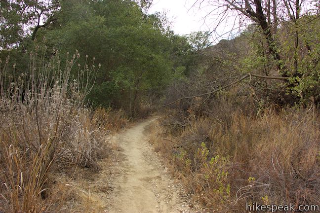
Reach a junction, 3/4 of a mile from the start, where two trails come together like the top of a Y. This is a merger of the trails along the east and west sides of Corbin Canyon. To form a loop, you’ll head back along the trail to the right, exploring the west side of the canyon. This route extends the return distance by 0.05 miles.
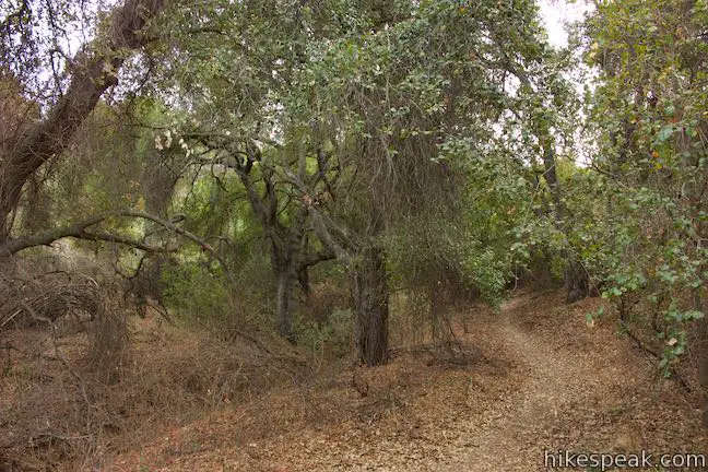
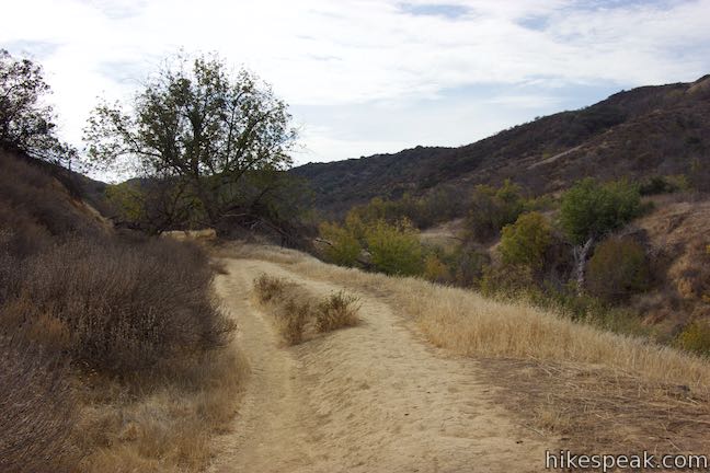
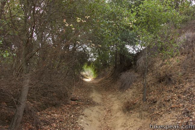
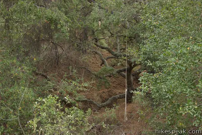
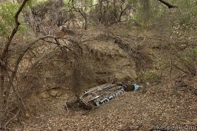
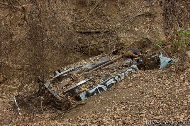
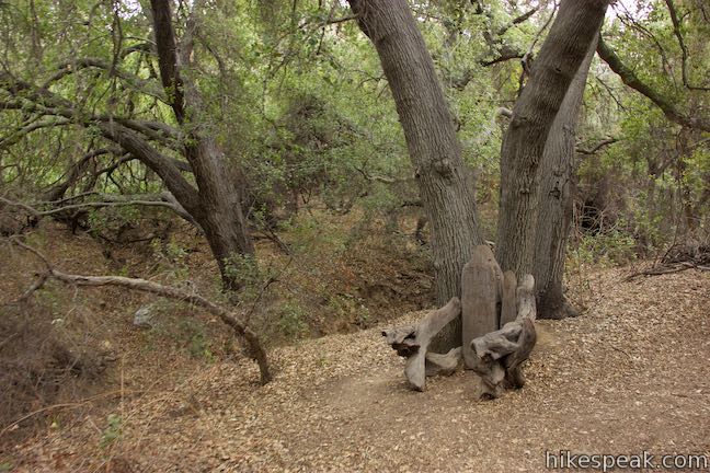
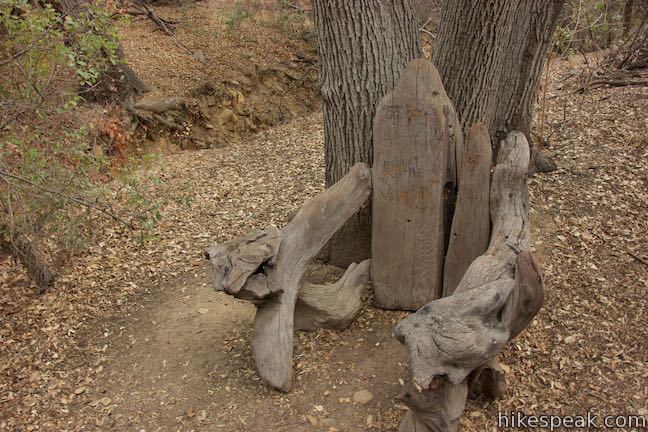
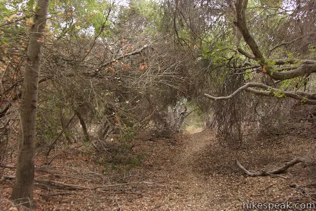
Turn left to venture farther up Corbin Canyon. The trail ahead is not as easy to follow, passing through shadowy oaks that may feel more spooky than serene. Shortly after the junction, pass a trail on the right that rises up to Winnetka Ridge Trail. Continue straight up Corbin Canyon Trail, passing along the right side of the creek bed in the bottom of the canyon, which is shouldered by oaks. A few footpaths drop across the canyon and you will pass rope swings tied to the branches of a large oak. Farther up the trail, you’ll discover a rusted, crunched, and graffiti-covered car sitting in the bottom of the canyon.
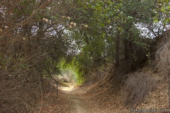
Proceeding beyond that, the trail gets more confusing. It splits and converges around a tree. A tenth of a mile after that, you’ll enter a heavily shaded area where the trail runs into a slope. A faint path ascends to the right, producing a rugged route for further exploration. Staying to the left, another path dead-ends at a wall of vegetation at the back of the canyon. With no clear path to proceed on, this seems like a good place to turn around.
Hike a quarter mile back to the Y-shaped junction. You could bear right to retrace your steps for 0.75 miles back to the trailhead at the end of Corbin Avenue. To add a loop to the hike that only extend things by 0.05 miles, bear left at the junction.
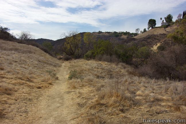
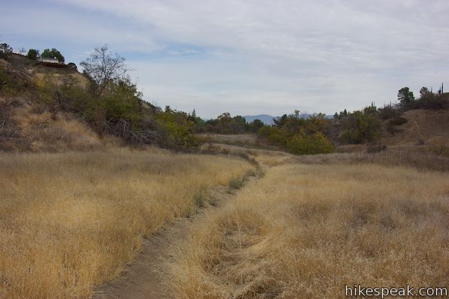
Hike north along the trail on the west side of the canyon, which cuts through sagebrush and grasses below Winnetka Ridge. Houses on Winnetka Avenue will be visible above. If the scenery looks familiar, that’s because you are directly across from the trail you hiked in on. A shallow trench running down the bottom of the canyon separates the two trails.
At 0.45 miles from the Y-shaped junction you will come to another important junction. Straight ahead, the trail you are on continues north toward Queen Victoria Road, providing access to this loop from that alternate trailhead. To get back to the street you started from, turn right on a connector trail back to the main branch of Corbin Canyon Trail.
Turn right on the connector trail, which makes a roller coaster-like dip across the bottom of the canyon and up the other side. After a shirt climb, you’ll hit a junction with the trail you hiked in on. Turn left and proceed a quarter mile back to Corbin Avenue to conclude this 2.05-mile hike with 150 feet of elevation change.
Dogs and bikes seem to be permitted on the trails in Corbin Canyon (although this may change with additional integration into Topanga State Park). No permit is required to visit the park and the street parking is free, so get out and enjoy!
Directions to the Trailhead
- Take the 101 Freeway to the exit 25 for Winnetka Avenue, which is 6 miles west of I-405.
- Drive south on Winneta Avenue for 0.7 miles and turn left onto Wells Drive.
- Go half a mile and turn right down Corbin Avenue.
- After 0.4 miles, come to a major bend to the left and turn right to stay on Corbin Avenue.
- Drive another 0.2 miles to the end of the road where the hike begins.
- Find on-street parking.
Trailhead Location
Trailhead address: 4000 Corbin Avenue, Tarzana, CA 91356
Trailhead coordinates: 34.1567, -118.56495 (34° 09′ 24.12″N 118° 33′ 53.81″W)
You may also view a regional map of surrounding Los Angeles trails and campgrounds.


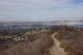 | Winnetka Ridge Trail This 1.5-mile hike just east of Corbin Canyon ventures up a ridge into the Santa Monica Mountains from the end of Winnetka Avenue. |
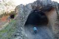 | Vanalden Cave This 0.6-mile round trip hike visits a unique sandstone cave that you can stand inside and above. The hike can be extended to 1.55 miles round trip to visit a nearby vista point with a panoramic perspective of the Santa Monica Mountains. |
 | Hub Junction from Reseda Boulevard This 5.3 to 5.45-mile hike from the edge of the San Fernando Valley goes through Topanga State Park to a scenic junction at the crossroads of the Eastern Santa Monica Mountains. Extend the trek to 6.85 miles round trip by summiting Temescal Peak or to 7.95 miles round trip by taking a loop to Eagle Rock. |
 | Caballero Canyon Trail This 3.4-mile round trip hike ascends a canyon on the north side of the Santa Monica Mountains with views over the San Fernando Valley. |
 | San Vicente Mountain from Mulholland Drive This 2-mile hike approaches the peak from the east and offers views to the north and south en route to the old Nike Missile site. |
 | Westridge Trail to San Vicente Mountain This 7.4-mile hike travels a scenic ridge between a Brentwood neighborhood and a summit that was once used as a Nike Missile site. |
 | Mandeville Canyon to San Vicente Mountain Loop This 5-mile hike incorporating a few trails, taking a DWP road up to Westridge to visit San Vicente Mountain, before crossing Mulholland Drive and Canyonback Ridge to return to Mandeville Canyon via Hollyhock Fire Road. |
 | Upper Canyonback Trail This 3 mile hike descends Canyonback Ridge from Mulholland Drive to the Mountain Gate Country Club Estates. |
 | Sullivan Canyon This 8.5-mile round trip hike follows a wide trail up the center of a sycamore-filled canyon. |
 | Sullivan Ridge A prominent lone-standing Live Oak along Sullivan Ridge makes a natural turnaround point and a 7.5 to 8.3 mile round trip hike. |
 | Murphy Ranch This 3.85-mile loop descending from Sullivan Ridge Fire Road into Rustic Canyon, where hikers can visit abandoned buildings that had unusual occupants. |
 | Getty View Park This 3-mile out and back hike crosses East Sepulveda Fire Road (Casiano Fire Road) on a ridge east of the 405 Freeway that offers light traffic and plentiful views of the Getty Museum and Santa Monica Bay. |
 | More trails in the Santa Monica Mountains Explore other destinations in the range. |
Common Questions about Corbin Canyon Park in the Santa Monica Mountains
- Is the trail open?
- Yes. You should expect to find that Corbin Canyon Park is open. There are no recent reports of trail closures. If you discover that the trail is closed, please help your fellow hikers by reporting a closure.
- Is this trail free to access?
- Yes, Corbin Canyon Park is free to access. No entrance fee, pass, or permit is required. If you discover that access rules have changed, please provide feedback on your experience.
- How much time does this hike take?
- It takes approximately 1 hour to hike Corbin Canyon Park. Individual hiking times vary. Add extra time for breaks and taking in the views.
- How long is this hike?
- The hike to Corbin Canyon Park is a 2.05 mile partial loop with 150 feet of elevation change.
- Are dogs allowed on this trail?
- Yes, dogs are allowed on Corbin Canyon Park. The trail is open to hikers, dogs, bikes.
- What mountain range is this trail in?
- Corbin Canyon Park is located in the Santa Monica Mountains.
- Where is the trailhead located?
- The trailhead for Corbin Canyon Park is located in Tarzana, CA.
Trailhead Address:
4000 Corbin Avenue
Tarzana, CA 91356
Trailhead Coordinates:
34.1567, -118.56495 - What are the driving directions to the start of the hike?
To get to the trailhead: Take the 101 Freeway to the exit 25 for Winnetka Avenue, which is 6 miles west of I-405. Drive south on Winneta Avenue for 0.7 miles and turn left onto Wells Drive. Go half a mile and turn right down Corbin Avenue. After 0.4 miles, come to a major bend to the left and turn right to stay on Corbin Avenue. Drive another 0.2 miles to the end of the road where the hike begins. Find on-street parking.
View custom Google Maps directions from your current location.
- Are there other trails near Corbin Canyon Park?
- Yes, you can find other nearby hikes using the Hikespeak Hike Finder Map.

We went on this hike this morning. It was a pleasant experience: thank you for the clear directions. I swear by this website by the way!
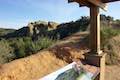
I just want to add that there is a lovely man-made “throne” made out of wood right next to the dead car.
It was especially nice to be able to park and walk and meet very few people, a nice quiet Sunday morning hike.
I just love hiking this park. The trails were great. What other parks do you think would be a good hike? Thank you so much.
Was a nice walk. Didn’t find it spooky at all! What’s the story behind the car?