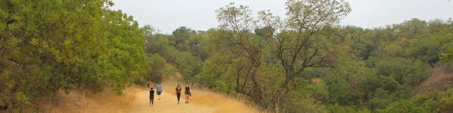
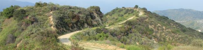
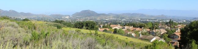
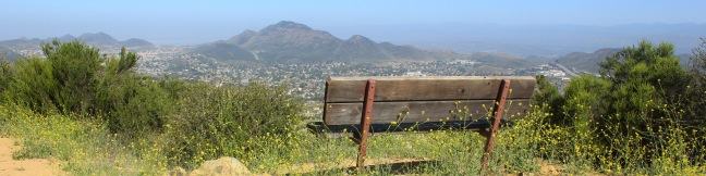
Hikes in the Verdugo Mountains

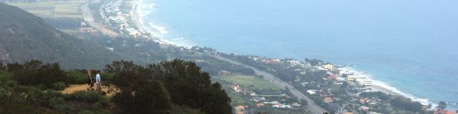
The Verdugos are a small mountain range (with big views) located on the northeast end of the San Fernando Valley, separated from the larger San Gabriel Mountains by Tujunga Valley. Verdugo Peak is the highest point in the range at 3,126 feet. Trailheads at the base of the Verdugo Mountains in the cities of Burbank and Glendale (and other points around the mountain range) offer convenient starting points for rewarding and challenging suburban hikes. ... Read more.
Fryman Canyon Loop in the Santa Monica Mountains
What to go for a hike but don't have time to leave Los Angeles? If you live near the Hollywood Hills or Studio City, Fryman Canyon may be the perfect place to get an hour of outdoor exercise. The 3-mile loop on Betty B. Dearing Trail passes through Wilacre Park in Lower Fryman Canyon and Coldwater Canyon Park, dishing out just 450 feet of elevation gain. ...Read more.
Distance: 3 miles · Elevation change: 450 feet
By: Published: July 9, 2012 Last updated: April 20, 2026
Beaudry Motorway Loop to Tongva Peak in the Verdugo Mountains
On the east end of the Verdugo Mountains between Glendale and Burbank, there is a scenic 6.15-mile loop on wide dirt service roads. North and South Beaudry Motorways circle past Tongva Peak and Mount Thom, which rise above the micro-range's eastern ridges. The high point of the loop, and a highlight of the hike, is a scenic overlook on the 2,656-foot summit of Tongva Peak. ...Read more.
Distance: 6.15 miles · Elevation change: 1475 feet
By: Published: June 18, 2012 Last updated: December 6, 2025
Angel Vista via Rosewood Trail in the Santa Monica Mountains
The boldly named Angel Vista is one of the top viewpoints in the Santa Monica Mountains, a coastal range running between Los Angeles and Ventura. Angel Vista soars over Thousand Oaks, presenting panoramic views of the west end of the range, which includes the Boney Mountains, the rocky crown of Santa Monicas. A few trails lead to the vista point, including the 7. ...Read more.
Distance: 4 miles · Elevation change: 850 feet
By: Published: June 2, 2012 Last updated: April 17, 2026
Angel Vista via West Los Robles Trail in the Santa Monica Mountains
Los Robles Trail in Thousand Oaks crosses a chaparral-covered mountainside leading to Angel Vista, one of the premier overlooks on the north side of the Santa Monica Mountains. There are a few routes to the viewpoint, including this 7.6-mile round trip hike up the east end of West Los Robles Trail. The hike charts a steady course along a mountain slope, gaining 800 feet to reach the vista above the Conejo Valley. ...Read more.
Distance: 7.6 miles · Elevation change: 800 feet
By: Published: June 1, 2012 Last updated: April 17, 2026
Charmlee Wilderness Park in Malibu
Charmlee Wilderness Park is perched on a bluff overlooking Malibu's alluring coast. Operated by the Mountains Recreation and Conservation Authority (previously the city of Malibu), this 590-acre park has eight miles of interwoven trails, making it easy to build your own hike between two to four miles, easy to moderate. In spring, Charmlee puts on a champion's display of wildflowers. ...Read more.
Distance: 3.25 miles · Elevation change: 260 feet
By: Published: May 4, 2012 Last updated: December 5, 2025