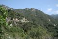
Spruce Grove Camp
in the San Gabriel Mountains
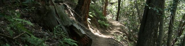
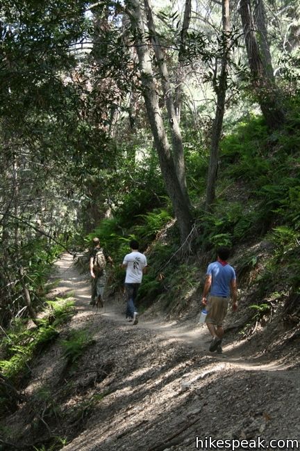
If the short hike to Sturtevant Falls leaves you yearning for more, get more by continuing up Santa Anita Canyon to Spruce Grove Camp. Beyond the falls, the trail takes on a greater feeling of wilderness immersion. This section of Gabrielino Trail gets less foot traffic, making it a great retreat for those times when you need to feel far from LA.
To get to Spruce Grove Camp, start from the trailhead at Chantry Flats, descend to Roberts Camp and follow the directions up Gabrielino Trail to Sturtevant Falls.
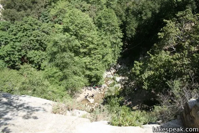
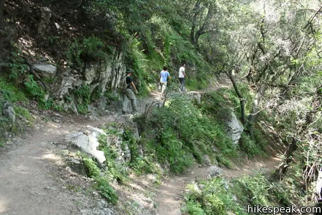
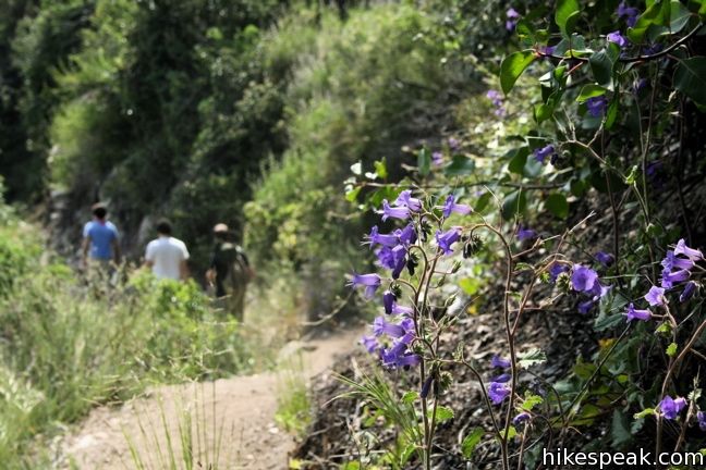
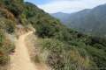
Three quarters of a mile from Roberts Camp and half a mile below the waterfall, Gabrielino Trail splits off to the left. There is an upper and lower trail to choose from. The “lower” trail is longer and duller, designed for those on horseback who miss out on the scenic stream-side path. Take the upper (top-of-falls) trail as it climbs the ridge just above Sturtevant. Here you can look down at the waterfall spectators below.
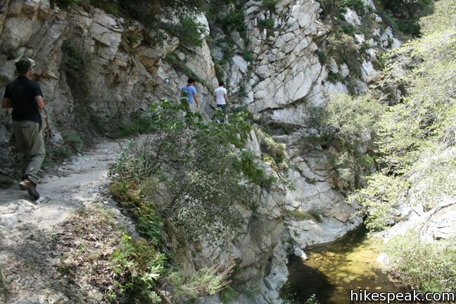
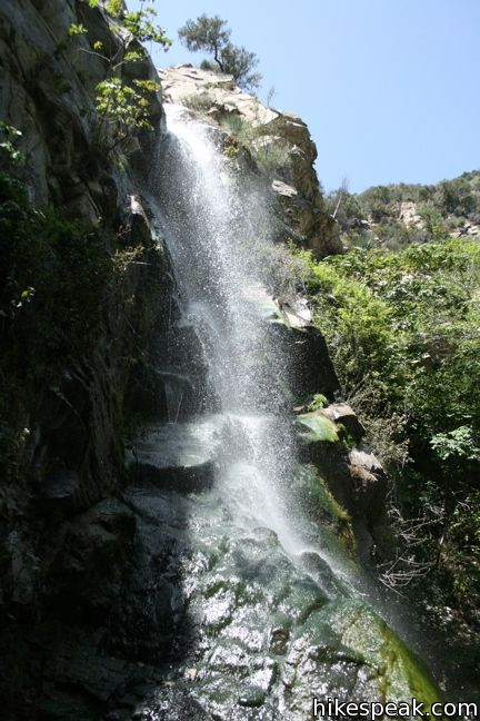
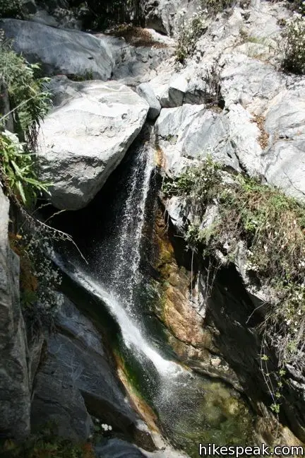
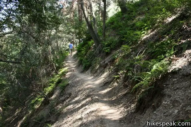
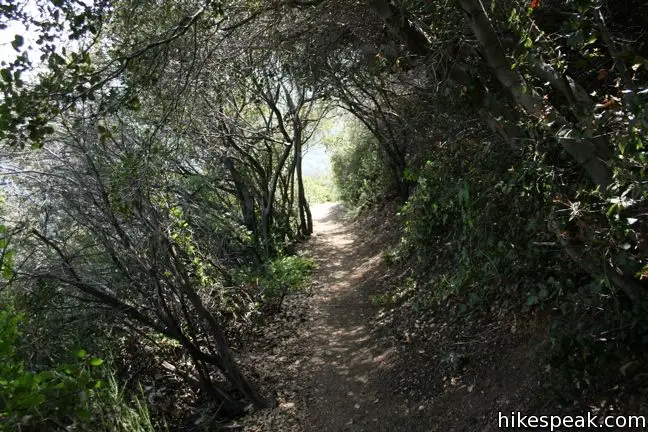
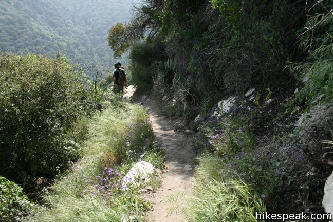
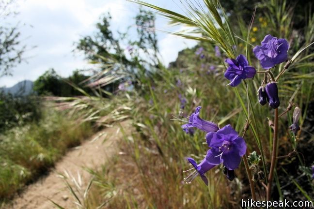
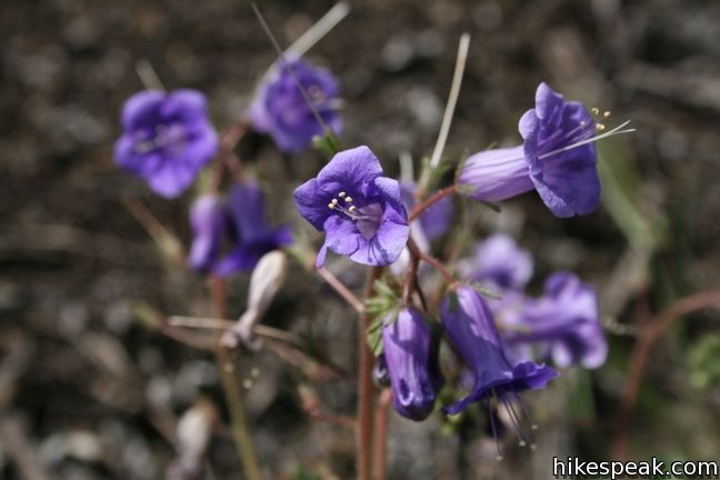
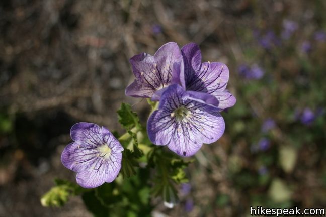
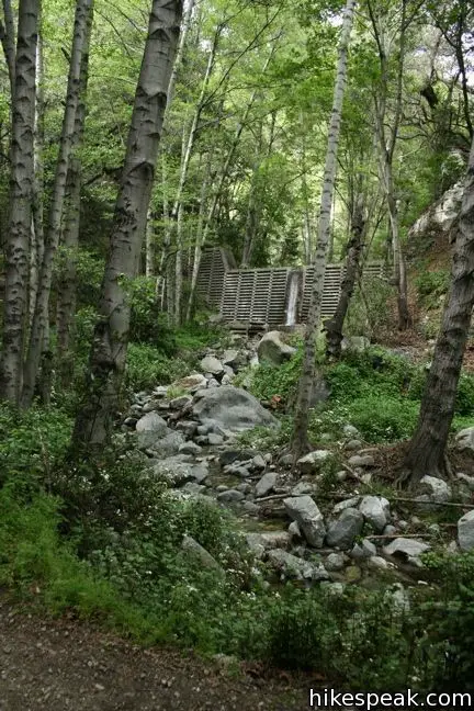
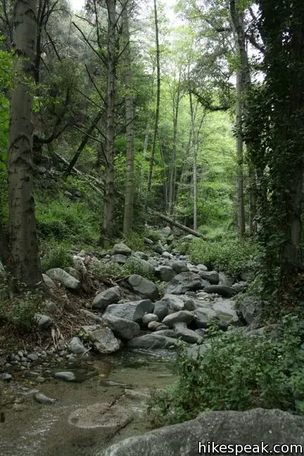
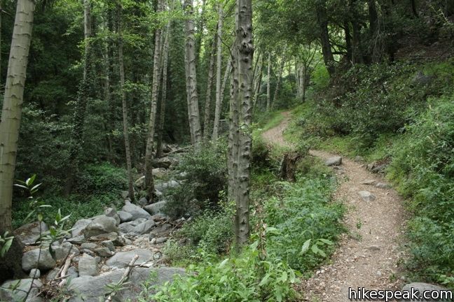
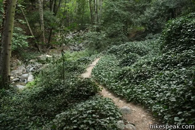
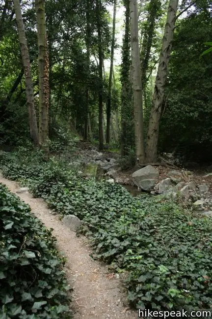
Rejoin the stream above Sturtevant Falls as it passes through a narrow gorge. Gabrielino Trail is carved into the rock here as it passes pristine pools. Ahead, the canyon widens and you enter a lush woodland. The banks of the creek are dressed with ivy and ferns. Tall conifers provide comforting shade.
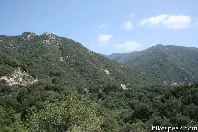
While the trail to Sturtevant Falls is fairly flat and gentle, this stretch of canyon requires some real hiking. Spruce Grove lies a thousand feet higher than Sturtevant Falls, and you will feel that increase along the trail.
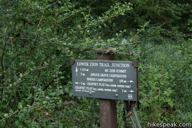
Gabrielino Trail progresses up the right bank of the creek, coming to a marker pointing to the left. Cross the creek here and hike up the west wall of the canyon.
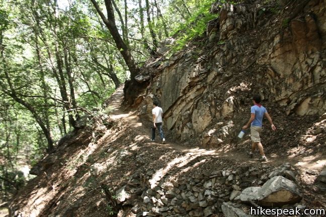
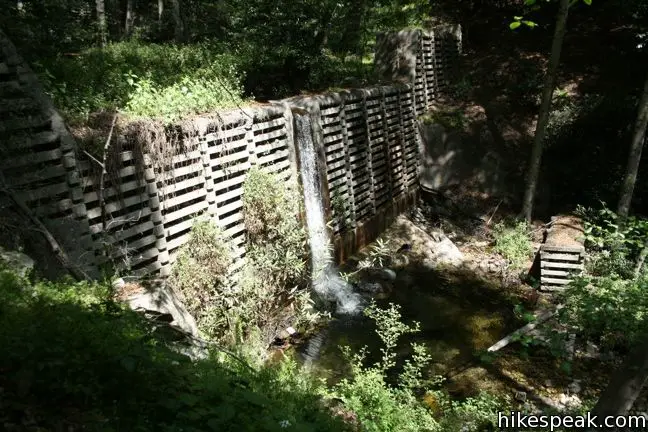
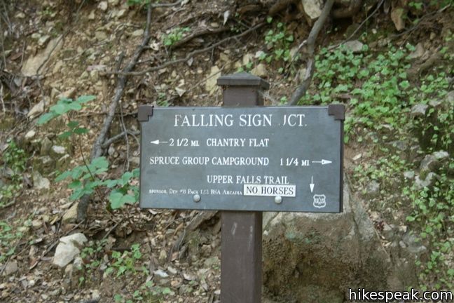
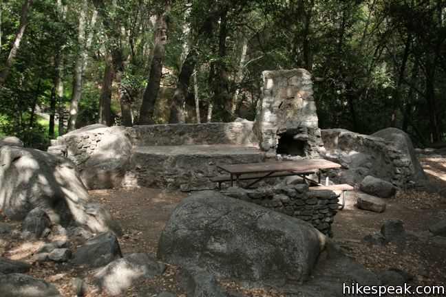
Arrive at Falling Sign Junction. Take the right toward Spruce Grove. The sounds of the creek return as you approach Cascade Picnic Area, where you will find one picnic table.
Press on 3/4 of a mile farther to Spruce Grove Camp. The trail continues up the creek through the woodsy canyon, offering fresh air and a “now this is nature” feeling.
Spruce Grove Camp
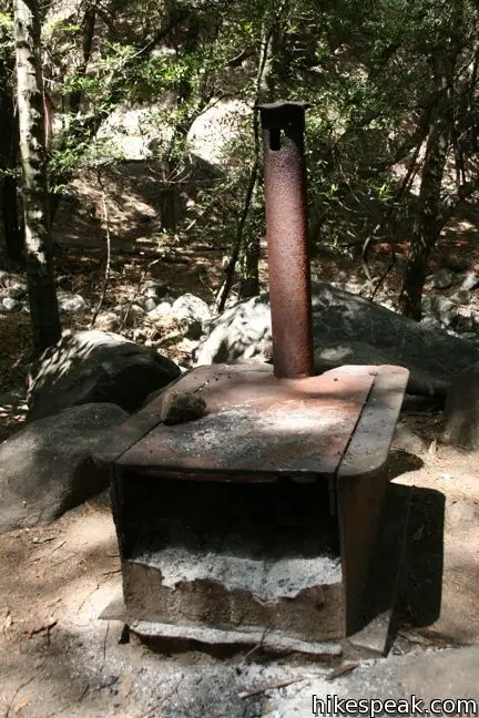
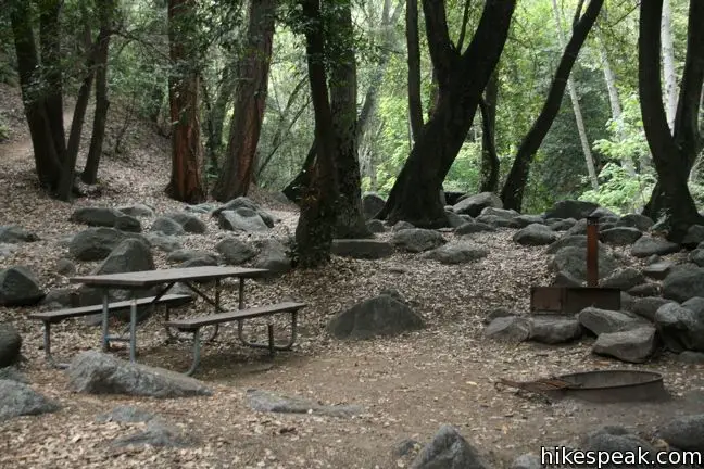
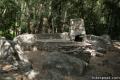
Spruce Grove Trail Camp has seven campsites, available on a first-come first-serve basis (no reservations) for no fee (free of charge). The trail camp has picnic tables, fire pits and even vault toilets.
Spruce Grove Trail Camp is a great spot to have a picnic and either head back to Chantry Flats or press on deeper into the San Gabriel Mountains. Return the way you came for a 7.5-mile round trip trek. For just two miles more, you can cross over Mount Zion to Hoegees Camp and follow Winter Creek down to Roberts Camp to complete the Santa Anita Canyon Loop.
Dogs are welcome on leashes. A National Forest Adventure Pass is required for vehicles parked at Chantry Flats Trailhead. No permit is needed to hike to Spruce Grove Camp, so get out and enjoy!
Directions to the Trailhead
- Take the 210 Freeway to Arcadia, east of Pasadena.
- Use exit 32 for Santa Anita Avenue and head north at the end of the offramp.
- Drive 5 miles up Santa Anita Avenue, going into the mountains.
- The road ends at Chantry Flats.
Trailhead Location
Trailhead address: Chantry Flats Road, Angeles National Forest, Arcadia, CA 91006
Trailhead coordinates: 34.1955, -118.0225 (34° 11′ 43.8″N 118° 01′ 21″W)
View Santa Anita Canyon in a larger map
Or view a regional map of surrounding Los Angeles trails and campgrounds.
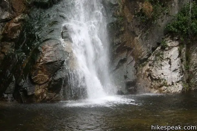
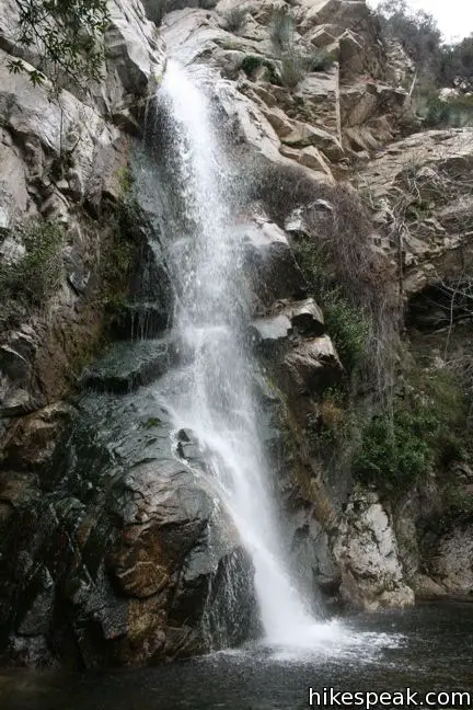
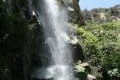
Sturtevant Falls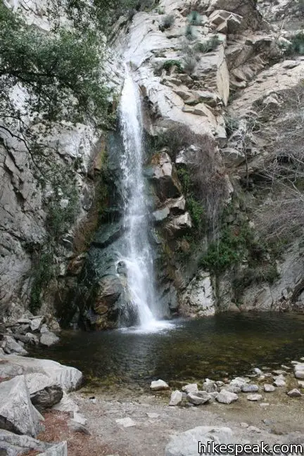

Gabrielino Trail to Spruce Grove Camp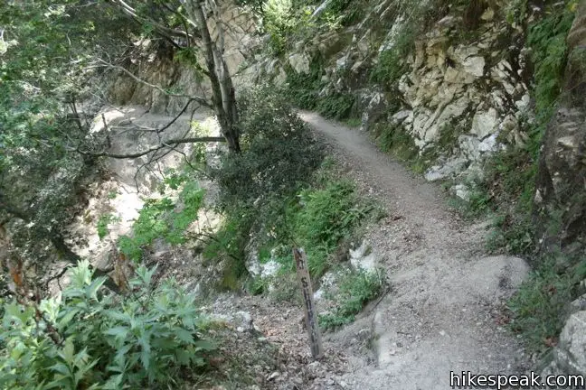

Upper Zion Trail from Spruce Grove Camp to Mount Zion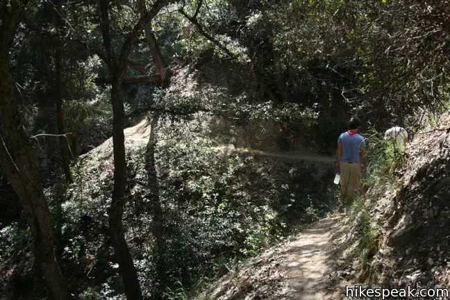
Lower Zion Trail from Hoegees Camp to Mount Zion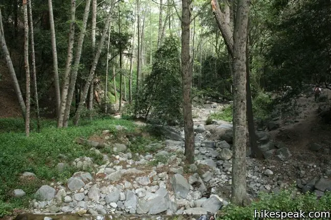


Winter Creek Trail to Hoegees Camp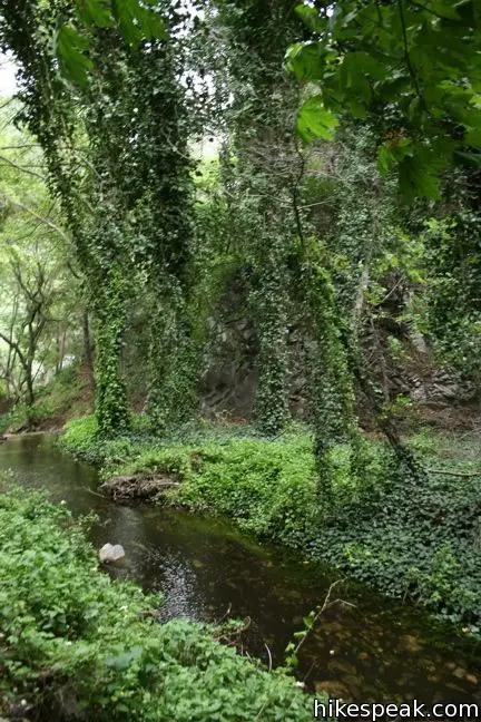


 | Sturtevant Falls This 3.3-mile hike visits a 60-foot waterfall and a lush cottage-lined canyon. |
 | Hoegees Camp This 4.25-mile hike follows Lower Winter Creek Trail through a beautiful wooded canyon to a backcountry campground with fourteen first-come first-serve sites. |
 | Hermit Falls This 2.5-mile heads down canyon away from Sturtevant Falls toward a 30-foot waterfall. The lush canyon and the babbling creek are quite calming. |
 | Upper Zion Trail The trail from Spruce Grove Camp up Mount Zion is 1.5 miles long. |
 | Santa Anita Canyon Loop This 9.5-mile loop visits two peaceful creeks in sylvan canyons, passing a 60-foot waterfall and plenty of beautiful wilderness. |
 | Upper Winter Creek Trail This 2.75-mile long trail can be used to extend Santa Anita Canyon Loop or create a 4.85-mile loop with Lower Winter Creek Trail. |
 | More trails in the San Gabriel Mountains Explore other destinations in the range. |
Common Questions about Spruce Grove Camp in the San Gabriel Mountains
- Is the trail open?
- Yes. You should expect to find that Santa Anita Canyon Loop is open. There are no recent reports of trail closures. If you discover that the trail is closed, please help your fellow hikers by reporting a closure.
- Do I need a permit for this hike?
- Yes. National Forest Adventure Pass.
- How much time does this hike take?
- It takes approximately 4 hours 15 minutes to hike Santa Anita Canyon Loop. Individual hiking times vary. Add extra time for breaks and taking in the views.
- How long is this hike?
- The hike to Santa Anita Canyon Loop is a 8 mile out and back with 1300 feet of elevation change.
- Are dogs allowed on this trail?
- Yes, dogs are allowed on Santa Anita Canyon Loop. The trail is open to hikers, dogs, bikes, horses.
- What mountain range is this trail in?
- Santa Anita Canyon Loop is located in the San Gabriel Mountains.
- Where is the trailhead located?
- The trailhead for Santa Anita Canyon Loop is located in Arcadia, CA.
Trailhead Address:
Chantry Flats Road
Arcadia, CA 91006
Trailhead Coordinates:
34.1955, -118.0225 - What are the driving directions to the start of the hike?
To get to the trailhead: Take the 210 Freeway to Arcadia, east of Pasadena. Use exit 32 for Santa Anita Avenue and head north at the end of the offramp. Drive 5 miles up Santa Anita Avenue, going into the mountains. The road ends at Chantry Flats.
View custom Google Maps directions from your current location.
- Are there other trails near Santa Anita Canyon Loop?
- Yes, you can find other nearby hikes using the Hikespeak Hike Finder Map.

Go the extra miles...
Submit a rating of this hike to go with your comment. Contribute to the average trail rating.