Santa Anita Canyon Loop
in the San Gabriel Mountains
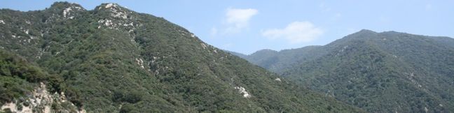
See the best that Santa Anita Canyon has to offer. Visit Hoegees Camp, Mount Zion, and Sturtevant Falls on one hike leaving Chantry Flats in the San Gabriel Mountains. In John W. Robinson’s excellent guide book, Trails of the Angeles, Santa Anita Canyon Loop is described as:
One of the best [loop hikes] in the San Gabriels.
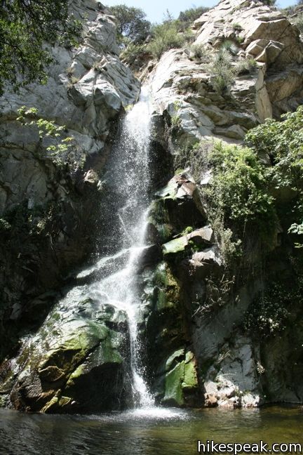
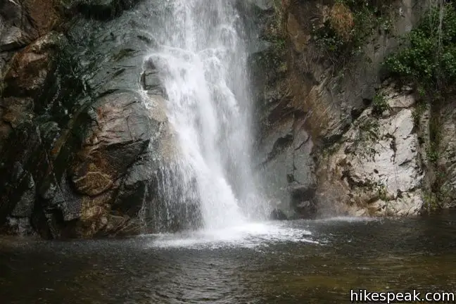
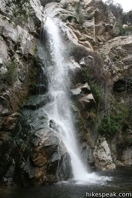
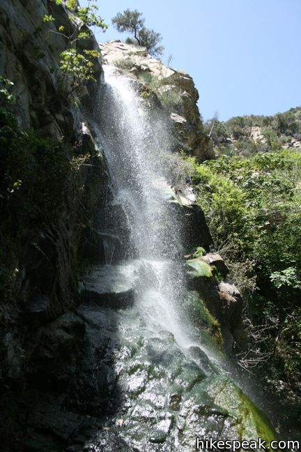
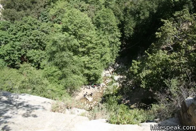
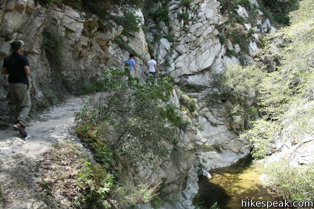
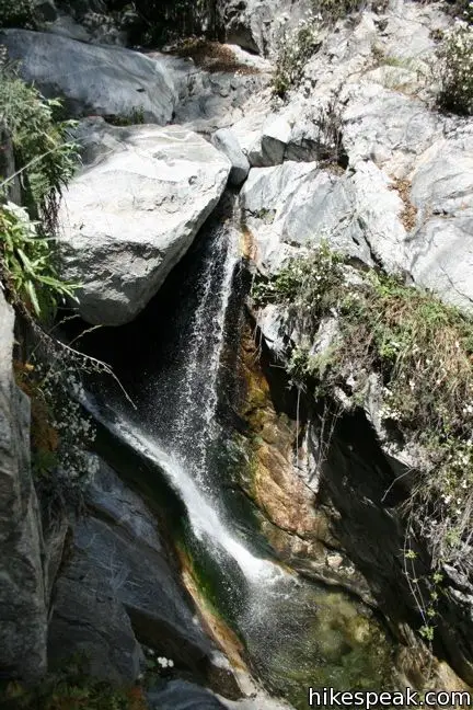
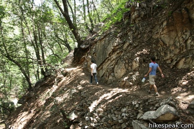
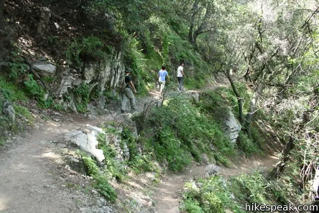
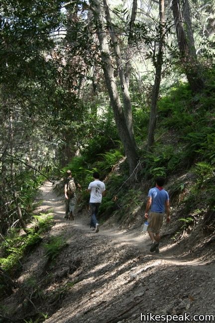
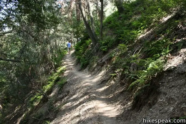
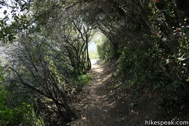
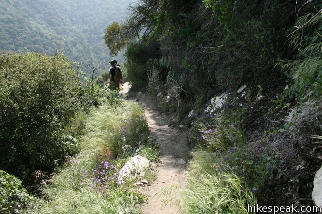
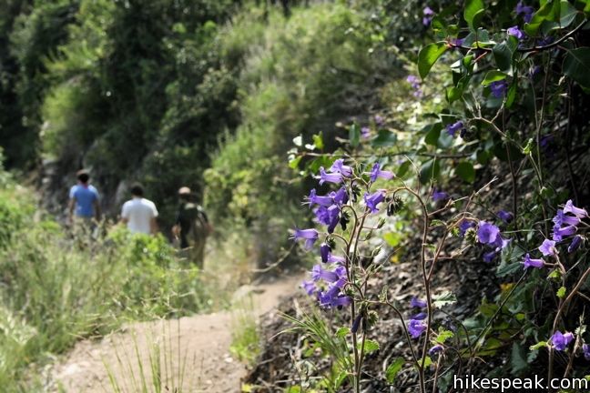
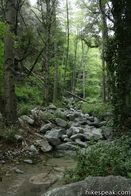
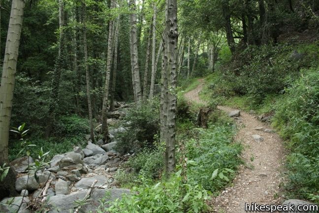
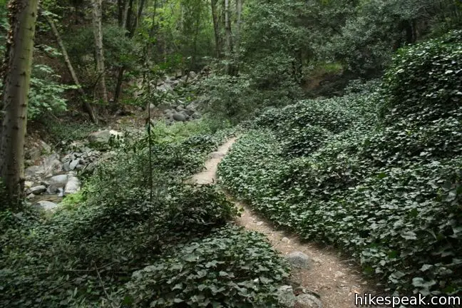
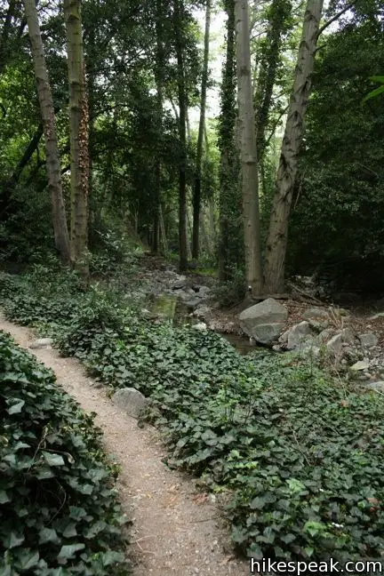
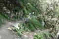
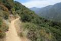
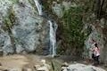
It’s hard to argue with that distinction. At 9.5 miles in length, Santa Anita Canyon Loop will take some time, but it is completely enjoyable. The sixty-foot Sturtevant Falls is the main attraction, but the trail runs along such fine wooded canyon streams that the entire loop delivers nature to enjoy.
The only negative comes in the last half-mile. To enter the loop, you descend a paved road from the parking lot at Chantry Flats down to Roberts Camp. At the end of the hike, you return up this very same road. It can feel quite steep after nine miles of hiking (and it’s paved). Aside from that, the hike is comprised of pleasant groves and streams and offers a great escape from Los Angeles.
This loop can be completed in either direction, depending on whether you would like to see Sturtevant Waterfall toward the beginning or the end of your hike. On hot summer days, it may be better to start in the direction of Sturtevant Falls so that the steep hiking is done in the shade leading up the Spruce Camp, rather than in the sun, hiking up the south face of Mount Zion.
The details of this loop hike leaving Chantry Flats have been divided into five legs (which can be visited separately as well). The reports for each section provide more information.
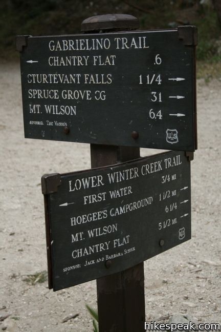
- Gabrielino Trail to Sturtevant Falls
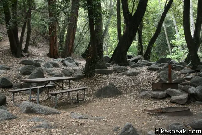
- Gabrielino Trail to Spruce Grove Camp
- Upper Zion Trail between Spruce Grove and Mount Zion
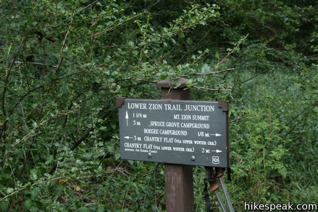
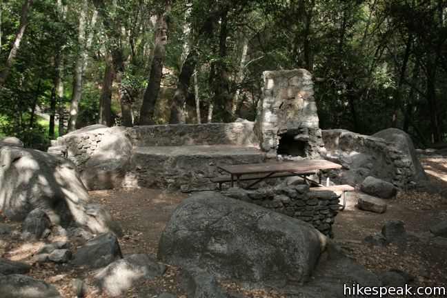
- Lower Zion Trail between Hoegees Camp and Mount Zion
- Lower Winter Creek Trail to Hoegees Camp
The basic directions for the Santa Anita Canyon loop are:
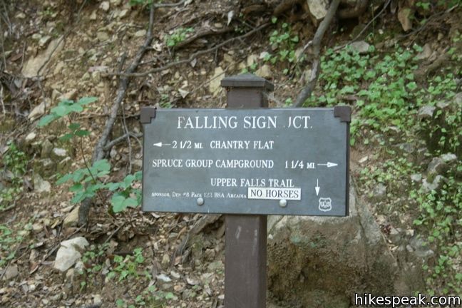
- Take the Gabrielino Trail from Chantry Flats, past Roberts Camp to the Upper Trail over Sturtevant Falls
- Turn right at Falling Sign and hike past Cascade Picnic Area, and Spruce Grove
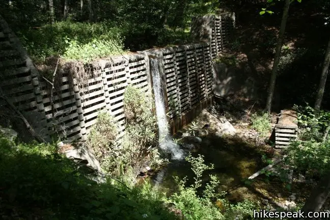
- Turn left and cross a cement dam to connect to Upper Zion Trail
- Take Upper Zion Trail to the summit
- Descend Lower Zion Trail
- Turn down Lower Winter Creek Trail past Hoegees Camp to Roberts Camp
- Return to Chantry Flats
Or in reverse:
- Descend from Chantry Flats to Roberts Camp
- Turn left on Lower Winter Creek Trail
- Past Hoegees Camp and turn right on Lower Zion Trail
- Take Lower Zion Trail up to the summit
- Descend Upper Zion Trail
- Make two rights to join the Gabrielino Trail below Sturtevant Camp
- Pass Spruce Grove and Cascade Picnic Area
- Make a left at Falling Sign
- Pass Sturtevant Falls and Roberts Camp and return to Chantry Flats.
If you are feeling up for Santa Anita Canyon Loop, it is a great excursion into Angeles National Forest. As a variation, you may replace Lower Winter Creek Trail with Upper Winter Creek Trail. To do so, turn right at the bottom of Lower Zion Trail, and climb up the side of Santa Anita Canyon, extending the total distance of the loop to ten miles while halving the amount of pavement hiked.
Dogs are welcome on leashes. A National Forest Adventure Pass is required for vehicles park at the Chantry Flats Trailhead. No permit is needed to hike Santa Anita Canyon Loop, so get out and enjoy!
Directions to the Trailhead
- Take the 210 Freeway to Arcadia, east of Pasadena.
- Use exit 32 for Santa Anita Avenue and head north at the end of the offramp.
- Drive 5 miles up Santa Anita Avenue, going into the mountains.
- The road ends at Chantry Flats.
Trailhead Location
Trailhead address: Chantry Flats Road, Angeles National Forest, Arcadia, CA 91006
Trailhead coordinates: 34.1955, -118.0225 (34° 11′ 43.8″N 118° 01′ 21″W)
View Santa Anita Canyon in a larger map
Or view a regional map of surrounding Los Angeles trails and campgrounds.
Sturtevant Falls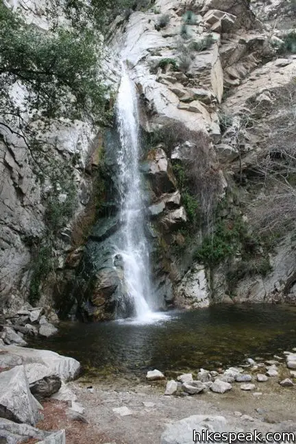

Gabrielino Trail to Spruce Grove Camp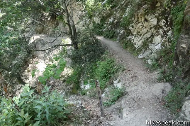

Upper Zion Trail from Spruce Grove Camp to Mount Zion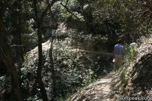
Lower Zion Trail from Hoegees Camp to Mount Zion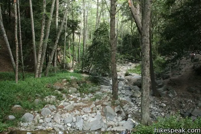


Winter Creek Trail to Hoegees Camp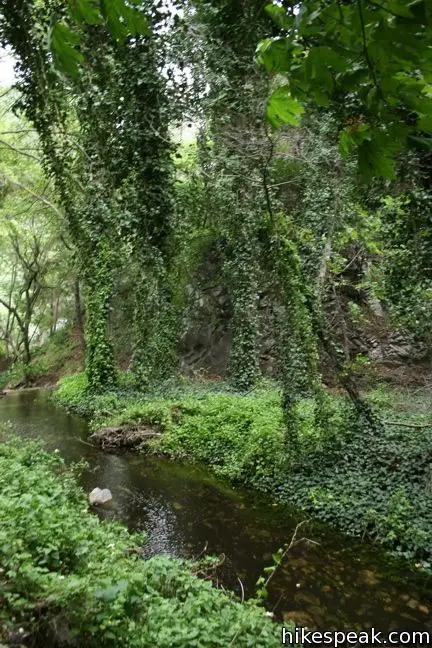


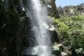 | Sturtevant Falls This 3.3-mile hike visits a 60-foot waterfall and a lush cottage-lined canyon. |
 | Spruce Grove Camp This 8-mile in-and-out or 9.5-mile loop takes hikers beyond Sturtevant Falls to a backcountry campground with seven first-come first-serve sites. |
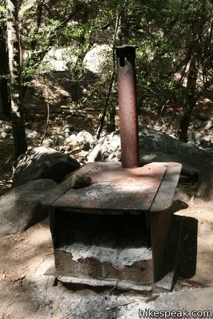
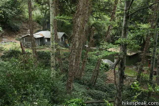
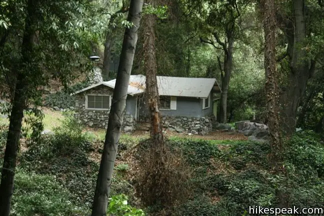
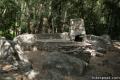 | Hoegees Camp This 4.25-mile hike follows Lower Winter Creek Trail through a beautiful wooded canyon to a backcountry campground with fourteen first-come first-serve sites. |
 | Lower Zion Trail The trail from Hoegees Camp up Mount Zion is 1.5 miles long. |
 | Upper Zion Trail The trail from Spruce Grove Camp up Mount Zion is 1.5 miles long. |
 | Hermit Falls This 2.5-mile heads down canyon away from Sturtevant Falls toward a 30-foot waterfall. The lush canyon and the babbling creek are quite calming. |
 | Upper Winter Creek Trail This 2.75-mile long trail can be used to extend Santa Anita Canyon Loop or create a 4.85-mile loop with Lower Winter Creek Trail. |
 | Monrovia Falls This 1.6-mile to 3-mile hike in Monrovia Canyon Park follows an enchanting canyon up to the base of the 30-foot waterfall. |
 | More trails in the San Gabriel Mountains Explore other destinations in the range. |
- Santa Anita Canyon Loop in Trails of the Angeles by John Robinson (opens in a new tab)
- Santa Anita Canyon Loop on modernhiker.com (opens in a new tab)
- A trail map and brochure of Santa Anita Canyon courtesy of the Angeles National Forest (opens in a new tab)
- The official website of the Angeles National Forest (opens in a new tab)
Common Questions about Santa Anita Canyon Loop in the San Gabriel Mountains
- Is the trail open?
- Yes. You should expect to find that Santa Anita Canyon Loop is open. There are no recent reports of trail closures. If you discover that the trail is closed, please help your fellow hikers by reporting a closure.
- Do I need a permit for this hike?
- Yes. National Forest Adventure Pass.
- How much time does this hike take?
- It takes approximately 5 hours to hike Santa Anita Canyon Loop. Individual hiking times vary. Add extra time for breaks and taking in the views.
- How long is this hike?
- The hike to Santa Anita Canyon Loop is a 9.5 mile loop with 1800 feet of elevation change.
- Are dogs allowed on this trail?
- Yes, dogs are allowed on Santa Anita Canyon Loop. The trail is open to hikers, dogs, bikes.
- Is Santa Anita Canyon Loop a difficult hike?
- This hike should be considered strenuous. Hikers should be prepared for a workout covering 9.5 miles and 1800 feet of climbing.
- Will I see a waterfall on this hike?
- Yes, Santa Anita Canyon Loop features a waterfall.
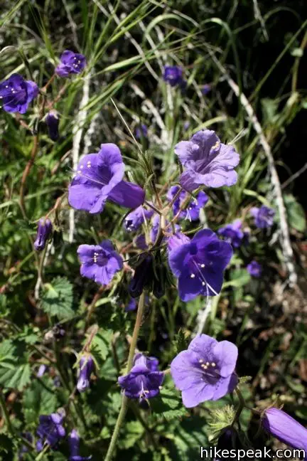
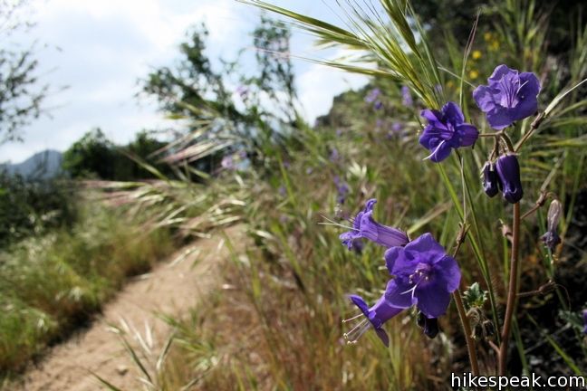
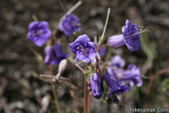
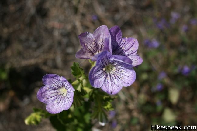
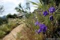
- Is this a good hike for wildflowers?
- Yes, Santa Anita Canyon Loop is known for its seasonal wildflower displays.
- What mountain range is this trail in?
- Santa Anita Canyon Loop is located in the San Gabriel Mountains.
- Where is the trailhead located?
- The trailhead for Santa Anita Canyon Loop is located in Arcadia, CA.
Trailhead Address:
Chantry Flats Road
Arcadia, CA 91006
Trailhead Coordinates:
34.1955, -118.0225 - What are the driving directions to the start of the hike?
To get to the trailhead: Take the 210 Freeway to Arcadia, east of Pasadena. Use exit 32 for Santa Anita Avenue and head north at the end of the offramp. Drive 5 miles up Santa Anita Avenue, going into the mountains. The road ends at Chantry Flats.
View custom Google Maps directions from your current location.
- Are there other trails near Santa Anita Canyon Loop?
- Yes, you can find other nearby hikes using the Hikespeak Hike Finder Map.

12 Comments on Santa Anita Canyon Loop in the San Gabriel Mountains
What hikers are saying:
✨ Generated summary of user commentsThis trail offers a serene escape into lush ravines that feel worlds away from the city. Alida warns that bears are active in the area, so keep dogs leashed and stay alert. Choosing the Upper Winter Creek Trail provides a more scenic, shaded return and avoids the steep asphalt climb back to the parking lot.
“the rest of the loop is some of the most serene and beautiful trail hiking in Southern California.” Jump to comment ↓
To avoid returning through the boring and steep-uphill Roberts Camp to Chantry Flat section I suggest taking the Upper Winter Creek Trail at Hoegee’s Camp & Lower Zion junction and return to Chantry Flat.
I agree with Karl, taking the Upper Winter Creek Trail is the better option. For me, this was the best part of the hike, through some beautiful ravines and away from the crowds.
Hiked this trail with my dog yesterday. It was great. This is the best trail I’ve hiked so far.
One of the best hikes in LA…. a few notes:
– if going on the weekend, parking and crowds are ridiculous, so go early.
– don’t be discouraged by the crowds (on weekends) and continue on to SG Camp; the crowds practically disappear after this first leg.
– that junction towards SG Camp is easy to miss. If you hit Fiddler’s Crossing (you’ll see a sign), you’ve gone too far.
– the rest of the loop is some of the most serene and beautiful trail hiking in Southern California.
– as mentioned by others, choose the Upper Winter Creek Trail option.
This is a great hike, wasn’t to crowded when I went yesterday but I was able to go on a weekday. I saw to very large deer just above the trail during the hike.
I would take the first set of directions listed above and not the “reverse” directions and as others have suggested choose the Upper Winter Creek Trail at Hoegee’s camp.
Hello,
How much are the parking passes? Also, is there going to be a place to buy food or drinks or should I just buy them before heading to the trail?
I recommend taking this loop San Gabrielino Trail first if you are doing the entire loop. (e.g. At Roberts Camp, stay “right”. To go to Hoegee’s, and Lower Wintry Creek trail, you go left at Roberts Camp (at the bottom of the asphalt road, just after crossing Wintry Creek by road or bridge.) Going towards Sturtevant Falls first, has you hiking up hill in the SHADE. On the way back (after having semi-submitted at Mt. Zion), you have a choice. You descend 2/3 of the way, and then can either make the left turn onto Lower Wintry Creek trail (to Hoegees Camp), which is quite beautiful, or if you are tired, you can stay on the Upper Wintry Creek trail (straight ahead (right), instead of left), and head directly back to Chantry flat. If you go the beautiful way (via Hoegees Camp), you have to pay for it with a 1/2 mile ascent at the end (the same way you came in originally) up the asphalt trail. If you stay on Upper Wintry Creek instead, it is drier, hotter (far less shade), still relatively pretty, but you do NOT have to climb back up the last 1/2 mile trail, as Upper Wintry Creek stays higher on the hill, and feeds directly back to Chantry flat without an additional climb.
I followed the suggestion to take upper winter creek trail and it was pretty good, and we ran into a 4-5 feet long snake there
Anyway this trail is great and is one of the most beautiful trails I’ve ever hiked in SoCal.
Went yesterday. Great hike. Be forewarned bears in the area are no longer in hibernation. Saw one as we drive up into the chantry falls parking area. Don’t let your little one run ahead. Keep you dogs leashed.
Can you rent camp off the trail?
Is the trail open again?
Is the trail open?