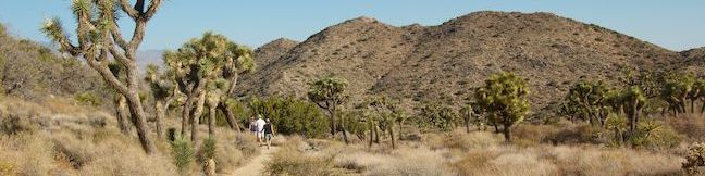
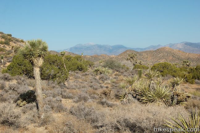
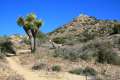
While many national park nature trails are short, level, and informative, High View Nature Trail offers a bit more for hikers, 325 feet of elevation gain on a 1 1/3-mile loop. The trail ascends a desert ridge with views over Yucca Valley and toward Southern California’s tallest peak, San Gorgonio Mountain, in the mountains to the west. The loop starts near Black Rock Campground on the west side of Joshua Tree National Park, making it one of the easiest trails to reach for travelers coming from Los Angeles.
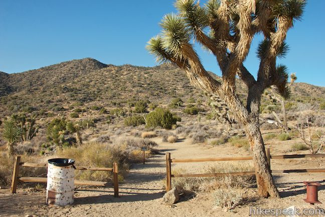
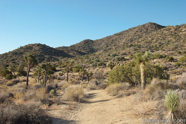
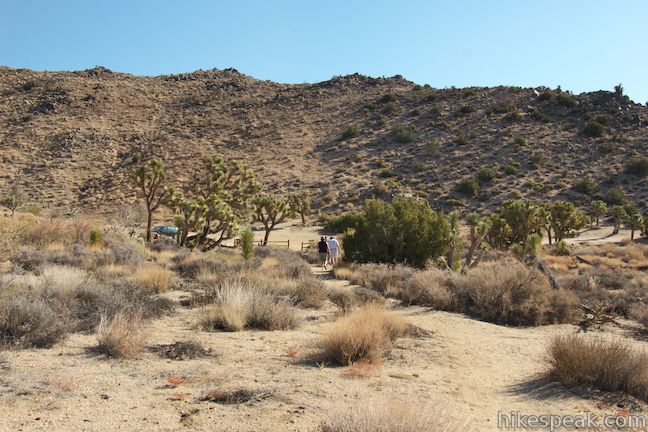
To make the most of High View Nature Trail, stop by the Black Rock Visitor Center and pick up a trail guide with information on the area’s plants, corresponding with twenty-one numbered markers along the trail. Drive to a dirt parking area at the end of South Park Road and set out up the trail to the left through the wooden fence.
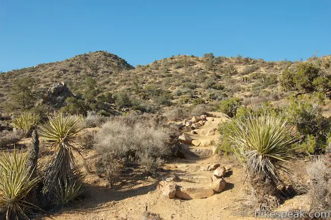
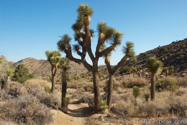
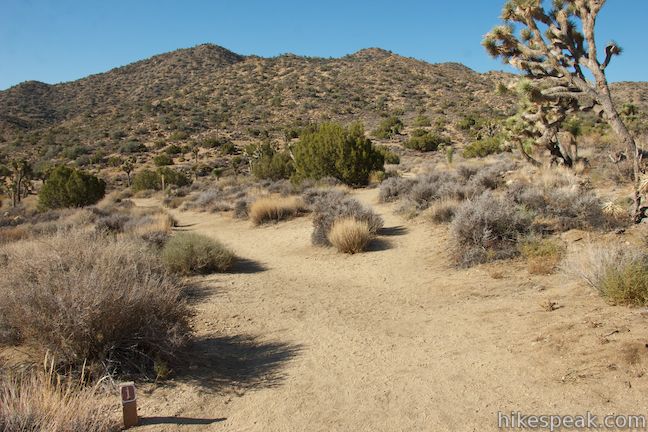
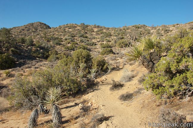
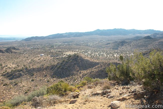
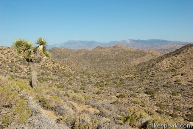
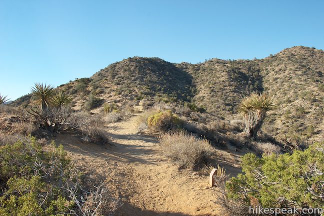
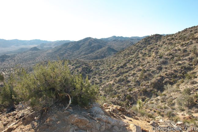
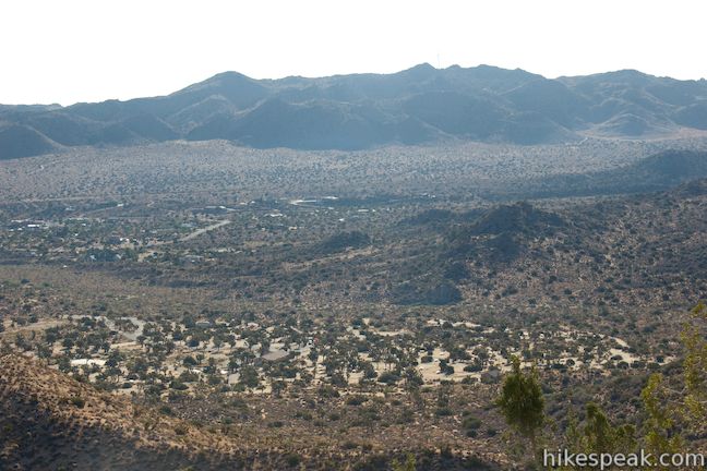
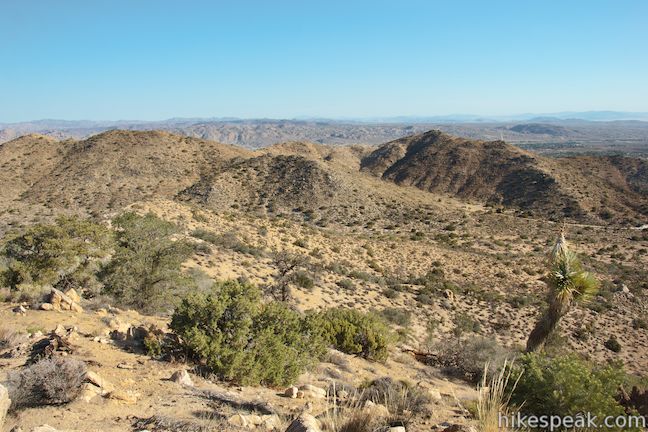
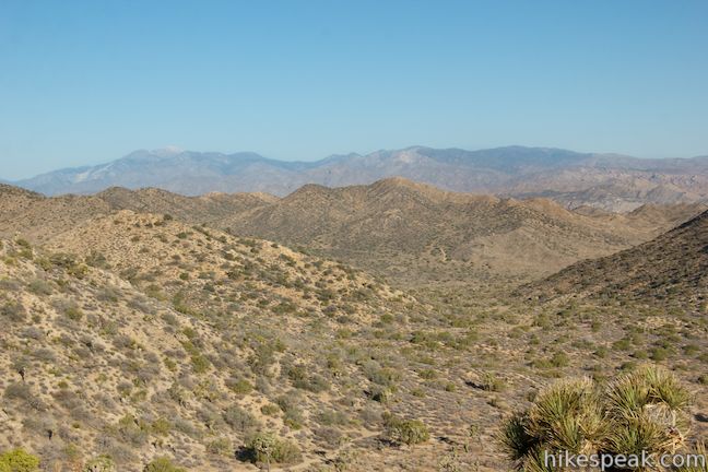
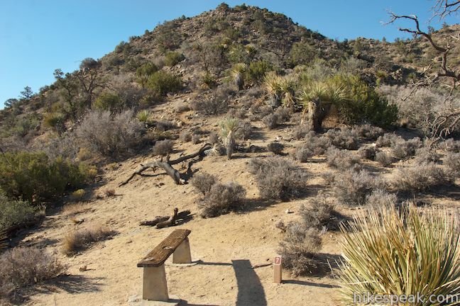
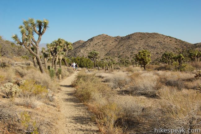
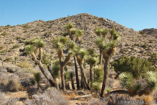
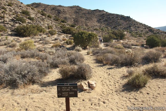
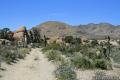
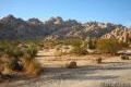
After about fifty feet, High View Nature Trail will split at the start of the loop. Stay to the left to follow the loop in a clockwise direction. In another hundred yards, you will come to an intersection with West Side Loop Trail. Cross it and bear right past a path that breaks off toward Black Rock Campground. High View Nature Trail will begin ascending a desert ridge. Stone steps are built into the sandy track to help you zig-zag uphill through cactus, yucca, and Joshua trees. As you make your way up the ridge, gaze east over Black Rock Canyon and north over the city of Yucca Valley just outside Joshua Tree National Park.
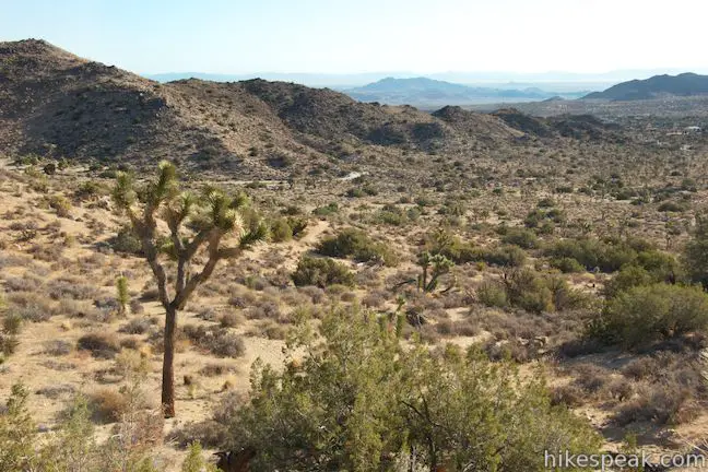
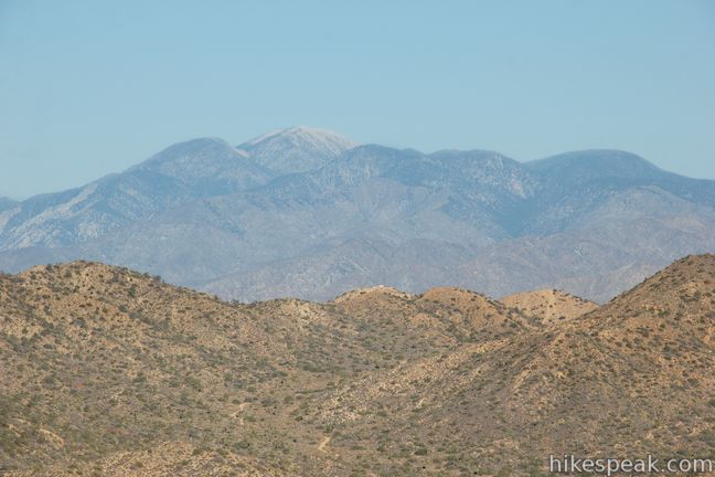
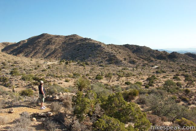
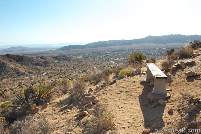
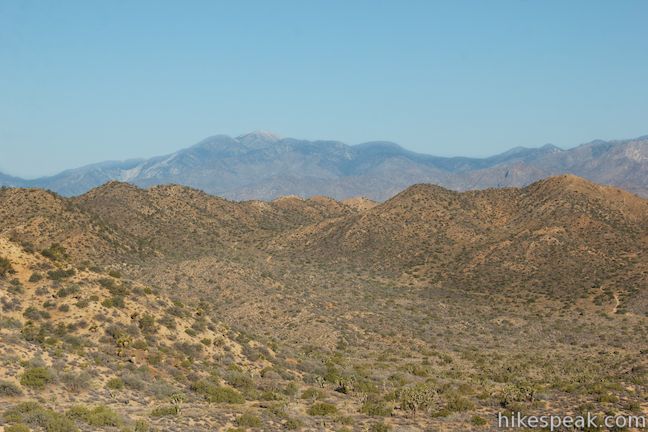
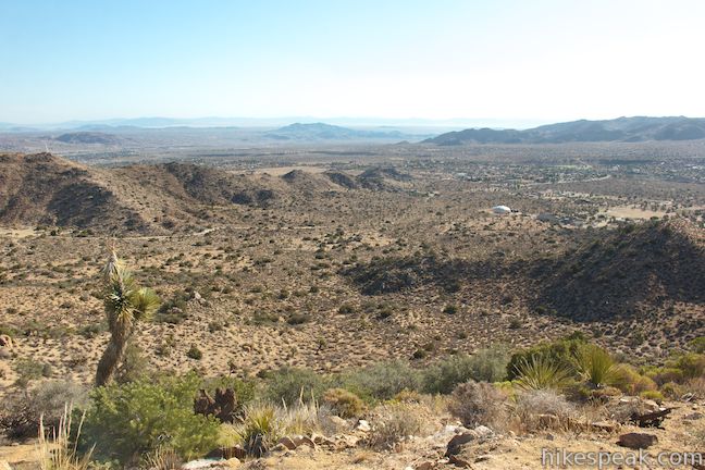
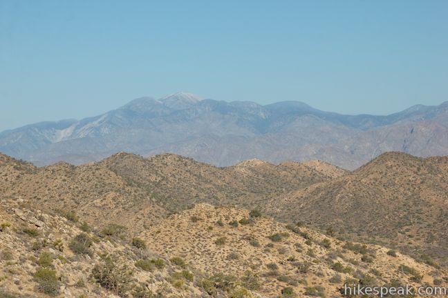
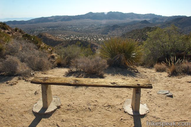
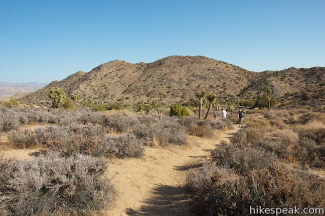
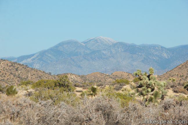
At 0.45 miles from the start, you will round the north end of the ridge and come to the first of five benches along the loop. Have a seat to take in the views to the northeast along with new views toward San Gorgonio Mountain, rising above the rest of the San Bernardino Mountains to the west. This bald 11,500-foot summit is capped with snow for much of the year.
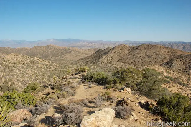
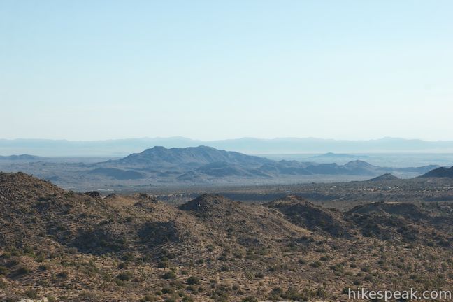
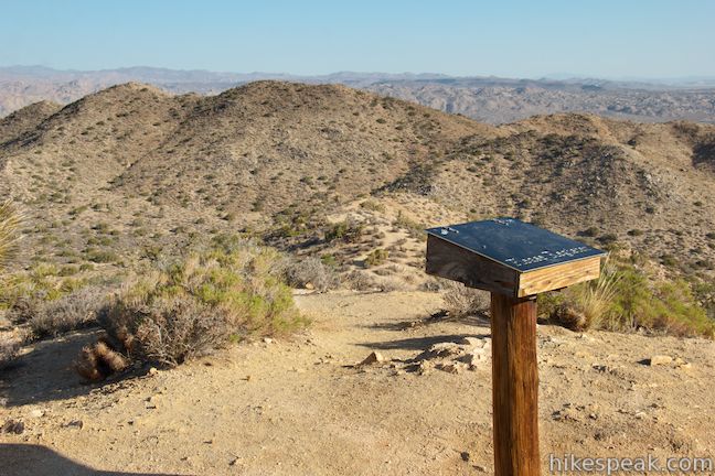
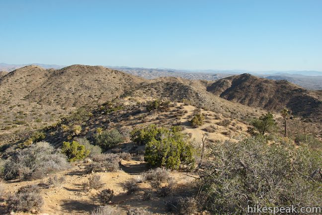
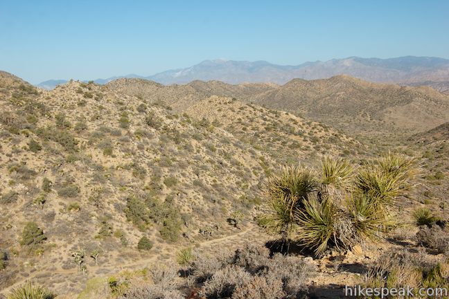
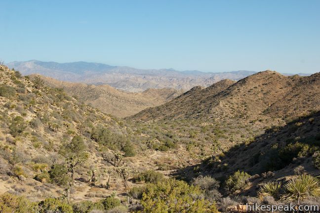
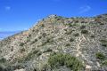
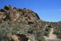
The trail proceeds south up the ridge, climbing to the high point of the loop, 0.6 miles from the start, where a trail register allows you to sign in after bagging the ridge crest. A path ventures off to the left out to the top of the rocky crest where the views look east over Black Rock Canyon and west toward the San Bernardino Mountains.
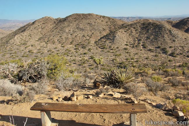
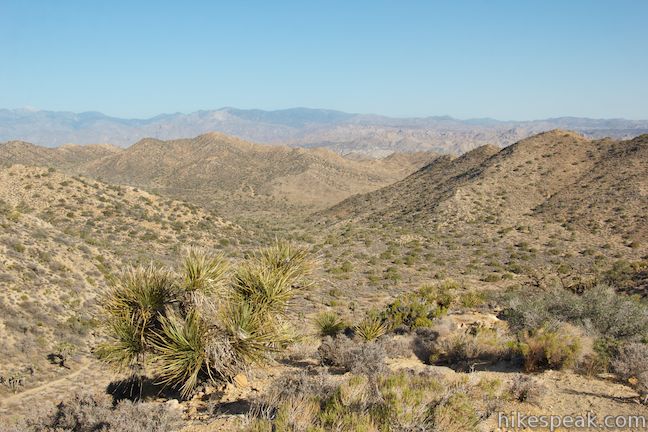
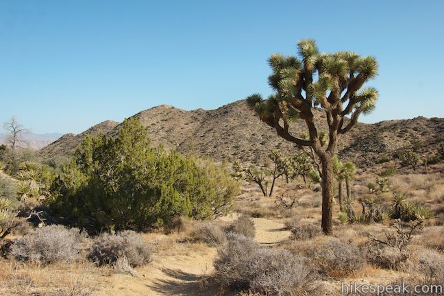
Beyond the register, the trail drops to a saddle in the ridgeline below a taller mountain to the south. A bench on the left looks east over Black Rock Campground as the trail turns right and descends into the canyon to the west.
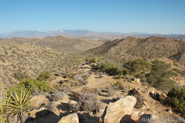
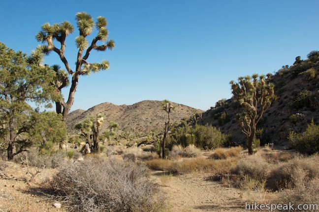
High View Nature Trail drops off the ridge to the top of a slope framed by ridges. Continue down the trail, which will loop back parallel to the ridge you hiked up. The trail passes through Joshua trees, alongside several numbered markers and a pair of benches where you can relax and take in the desert surroundings.
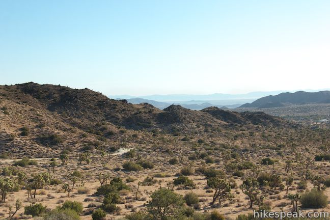
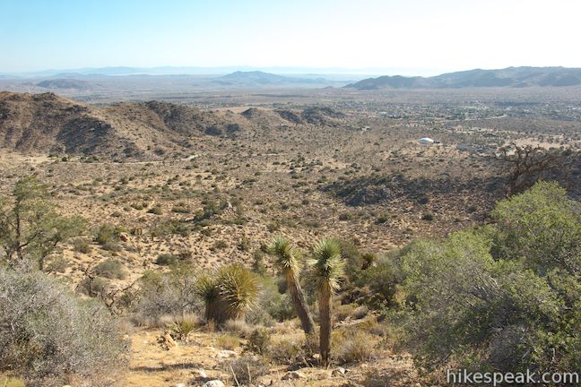
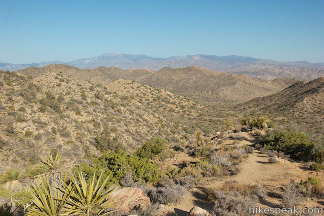
The trail will reach the bottom of the canyon and curve to the right to head back toward the parking lot. Over your left shoulder, you’ll get your final views of San Gorgonio Mountain beyond the desert ridges to the west. Cross through an intersection with West Side Loop Trail and hike another tenth of a mile to finish the loop.
High View Nature Trail is an informative nature trail with some elevation gain and panoramic view. The five benches along the loop allow you to linger as you learn about desert plants. Dogs, bikes, and horses are not allowed on High View Nature Trail. While located within Joshua Tree National Park, you won’t actually need to pay a park entrance fee to reach the trailhead. No permit is required to hike High View Nature Trail, so get out and enjoy!
Directions to the Trailhead
- From Route 62 in the city of Yucca Valley, turn south on Joshua Lane (5.8 miles west of the intersection with Park Boulevard).
- Drive 4.6 miles to the end of the road and turn right onto San Marino Drive.
- San Marino Drive curves to the left and becomes Black Rock Road.
- Go up this road for half a mile.
- Turn right up a dirt road just before the sign for Black Rock Campground on the median in the center of the road (or drive a bit farther to get the interpretive guide from the Black Rock Visitor Center).
- The turn onto South Park Road has a sign with arrows for the horse camp and the interagency fire station.
- Drive 0.7 miles to the South Park Parking Area at the end of the dirt road where the trail begins to the south.
Trailhead Location
Trailhead address: South Park Road, Joshua Tree National Park, Yucca Valley, CA 92284
Trailhead coordinates: 34.076169, -116.399369 (34° 04′ 34.20″N 116° 23′ 57.72″W)
View Joshua Tree National Park in a larger map
Or view a regional map of surrounding California Desert trails and campgrounds.


 | Warren Peak This 5.5-mile hike summits a peak with impressive views over the west side of Joshua Tree. |
 | Desert Queen Mine This 1.6-mile hike follows a level trail to an overlook before crossing a canyon to visits the ruins of one the most profitable gold mines in the California desert. |
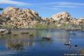 | Barker Dam This level 1.5-mile loop visits a small foreign-looking reservoir within the Wonderland of Rocks. |
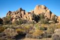 | Hidden Valley This one mile loop circles the interior of a small valley surrounded by tall rocks that serves as an excellent bouldering arena. |
 | Ryan Mountain This 3-mile hike offers summit views from the center of Joshua Tree National Park. |
 | Lucky Boy Vista This level 2.5-mile hike visits a modest overlook at the site of an old mine. |
 | Inspiration Peak This 1.2-mile hike leaves the crowds at Keys View for even grander views at a 5,550-foot summit that looks out on the Coachella Valley, the Salton Sea, Mount San Jacinto, and much of Joshua Tree National Park. |
 | Lost Horse Mine This 4-mile hike visits a well-preserved mine and mill. |
 | Fortynine Palms Oasis The 3-mile round trip hike visits a cool desert oasis. |
 | Indian Cove The 101-site campground is home to a 0.6-mile interpretive trail and endless bouldering and rock climbing opportunities. |
 | Mastodon Peak This 2.6-mile loop visits a 3,400-foot summit with panoramic views of southeastern Joshua Tree. |
 | Lost Palms Oasis This 7.2-mile hike visits a desert oasis nestled between mountains in the southeast corner of the park. |
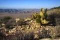
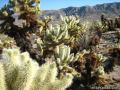 | Cholla Cactus Garden This quarter-mile loop allows visitors to stroll through an intense concentration of cholla cacti. |
 | Hikes in the California Desert Explore more trails in Death Valley National Park, Joshua Tree National Park, Anza-Borrego Desert State Park, and Mojave National Preserve. |
 | Joshua Tree Campgrounds Nine campgrounds with 500 total sites are spread throughout the park to facilitate your visit. |
 | Joshua Tree Wildflowers The desert in bloom is something any outdoor enthusiast in California should see. |
Common Questions about High View Nature Trail in Joshua Tree National Park
- Is the trail open?
- Yes. You should expect to find that High View Nature Trail is open. There are no recent reports of trail closures. If you discover that the trail is closed, please help your fellow hikers by reporting a closure.
- Is this trail free to access?
- Yes, High View Nature Trail is free to access. No entrance fee, pass, or permit is required. If you discover that access rules have changed, please provide feedback on your experience.
- How much time does this hike take?
- It takes approximately 45 minutes to hike High View Nature Trail. Individual hiking times vary. Add extra time for breaks and taking in the views.
- How long is this hike?
- The hike to High View Nature Trail is a 1.35 mile loop with 325 feet of elevation change.
- Are dogs allowed on this trail?
- No, dogs are likely not allowed on High View Nature Trail. The trail is primarily open to hikers.
- Is High View Nature Trail good for kids?
- Yes, this hike is likely suitable for children. It is relatively short (1.35 miles) with manageable elevation gain.
- Where is the trailhead located?
- The trailhead for High View Nature Trail is located in Yucca Valley, CA.
Trailhead Address:
South Park Road
Yucca Valley, CA 92284
Trailhead Coordinates:
34.076169, -116.399369 - What are the driving directions to the start of the hike?
To get to the trailhead: From Route 62 in the city of Yucca Valley, turn south on Joshua Lane (5.8 miles west of the intersection with Park Boulevard). Drive 4.6 miles to the end of the road and turn right onto San Marino Drive. San Marino Drive curves to the left and becomes Black Rock Road. Go up this road for half a mile. Turn right up a dirt road just before the sign for Black Rock Campground on the median in the center of the road (or drive a bit farther to get the interpretive guide from the Black Rock Visitor Center). The turn onto South Park Road has a sign with arrows for the horse camp and the interagency fire station. Drive 0.7 miles to the South Park Parking Area at the end of the dirt road where the trail begins to the south.
View custom Google Maps directions from your current location.
- Are there other trails near High View Nature Trail?
- Yes, you can find other nearby hikes using the Hikespeak Hike Finder Map.

I am a local and have hiked High View before it was in the park system. There is also a city of Y.V. Park called South Park with it’s trail head just across the parking lot from High View with another .8 mile hike and 325 ft. elevation gain. Each trail offers a steep incline going counterclockwise or a lower slope going clockwise, depending upon your mood. The Forest Service Firefighters uses High View as a training run, in full gear of course. Great quick cardio trail and those five park benches make for great a great step exercise platform too.
[…] rock-climbing type, go to the Black Rock Canyon area. Multiple hiking trails go from here, like the Hi-View Nature Trail. Try to spot some wildlife; mountain lions have been spotted in this […]