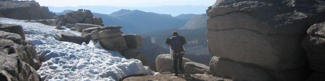
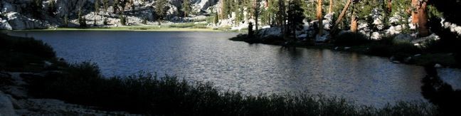
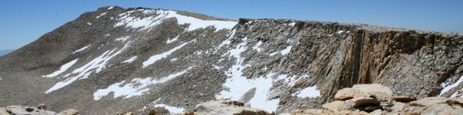
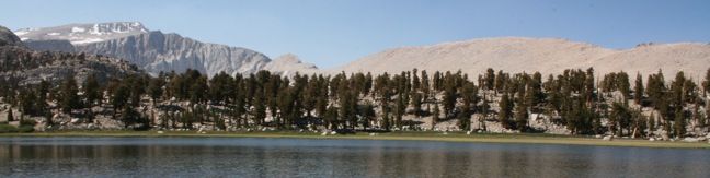
Hikes in Calaveras County

Made famous by one-time resident Mark Twain's short story, The Notorious Jumping Frog of Calaveras County, this one thousand square mile swath of the sierra foothills has a lot to offer to present day visitors. In addition to the famed jumping frog jubilee and a popular wine-tasting town, Calaveras County has several areas for hiking. Not far from Yosemite National Park on the west side of the Sierra Nevada Mountains, the sparely populated county is covered with rugged subalpine woodlands largely protected by Stanislaus National Forest. ... Read more.
Lower Soldier Lake to New Army Pass in Sequoia National Park
New Army Pass lies at the end of Cottonwood Lakes Trail, 7.5 miles from Horseshoe Meadow. The pass provides off-trail ascents to two nearby summits, Mount Langley and Cirque Peak. A trail down the northwest side of the pass ventures into Sequoia National Park with access to countless backcountry destinations including Lower Soldier Lake, Sky Blue Lake, and Mount Pickering. ...Read more.
Distance: 19.2 miles · Elevation change: 2300 feet
By: Published: October 12, 2010 Last updated: April 9, 2026
Lower Soldier Lake in Sequoia National Park
Lower Soldier Lake lies at 10,800 feet on the eastern edge of Sequoia National Park. This is a favored place for backpackers to bed down, and for good reason. A host of trails and off-trail targets make this a prime base camp. The nearest trailhead is Horseshoe Meadow in the Golden Trout Wilderness, which offers two routes to Lower Soldier Lake. About half a mile separates the start of the two trails so they can easily be combined to form a loop. ...Read more.
Distance: 19.2 miles · Elevation change: 2350 feet
By: Published: October 10, 2010 Last updated: December 5, 2025
Cirque Peak in the John Muir and Golden Trout Wildernesses
Cirque Peak can be reached from either Cottonwood Pass Trail or Cottonwood Lakes Trail. The mountain rises between the two, straddling the divide of the Golden Trout and John Muir Wildernesses. The summit boasts an excellent panorama with a good look at Mount Langley to the north, the Cottonwood Lakes to the east, and the sprawling Sierra to the west. ...Read more.
Distance: 19 miles · Elevation change: 2900 feet
By: Published: September 30, 2010 Last updated: December 9, 2025
Old Cottonwood Creek Trail to South Fork Lakes in the John Muir Wilderness
Old Cottonwood Creek Trail breaks from the popular Cottonwood Lakes Trail for a more secluded hike into Cottonwood Basin, visiting pristine meadows, alpine lakes, flowing creeks, and amber forests. The trail provides a lovely 8-mile day hike to South Fork Lake, with several options to extend to nearby lakes and peaks. Take Cottonwood Lakes Trail from Horseshoe Meadow as it runs downhill heading north through the Golden Trout Wilderness. ...Read more.
Distance: 9 miles · Elevation change: 1150 feet
By: Published: September 24, 2010 Last updated: April 9, 2026
Mount Langley in Sequoia National Park
Rising to 14,042 feet, Mount Langley is less than five hundred feet shorter than Mount Whitney but receives far fewer visitors. While the lottery to get a permit for Mount Whitney can be challenging and competitive, Mount Langley's hikers can easily get a free permit on the day of their hike. The summit provides expansive views, solitude, and a deep feeling of accomplishment. ...Read more.
Distance: 22 miles · Elevation change: 4000 feet
By: Published: September 21, 2010 Last updated: December 9, 2025