Hikes in Topanga State Park

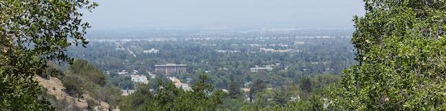
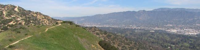
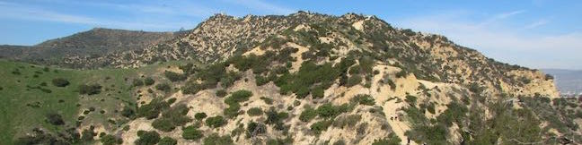
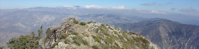
Topanga State Park preserves over 11,500 acres of the Santa Monica Mountains in a beautiful area north of the Pacific Palisades, east of Topanga Canyon, and south of Reseda (location map). The park is situated entirely within the Los Angeles city limits and is considered "the world's largest wildland within the boundaries of a major city." You certainly won't feel like you're in a city when you hike through Topanga State Park. ... Read more.
Dixie Canyon Park in the Santa Monica Mountains
Dixie Canyon Park preserves twenty tucked-away acres in the Santa Monica Mountains on the north side of the range west of Coldwater Canyon. The park can be accessed from Sherman Oaks for a micro hike that is 0.55 miles round trip with 175 feet of elevation change. This partial loop follows a dirt single track that is narrow and sometime overgrown, finding shade from walnut trees and coast live oaks as it passes through Dixie Canyon Park. ...Read more.
Distance: 0.55 miles · Elevation change: 175 feet
By: Published: August 2, 2016 Last updated: April 8, 2026
Glendale Peak in Griffith Park
Mount Hollywood and Mount Lee might get the bulk of the summit-bagging hikers in Griffith Park, but Glendale Peak is a fine target of its own, hosting grand views of downtown Los Angeles, the San Gabriel Valley, and the San Gabriel Mountains. The 1,190-foot peak pokes out above the southeast side of Griffith Park at the end of a ridge that runs down from Mount Hollywood. ...Read more.
Distance: 3.3 miles · Elevation change: 405 feet
By: Published: May 3, 2016 Last updated: April 8, 2026
Glendale Peak – Mount Hollywood Loop in Griffith Park
It is often said that two is better than one. Take a hike on Glendale Peak – Mount Hollywood Loop and you'll agree – two summits are better than one! Think of this Griffith Park hike like a meal with an appetizer and a main course. Glendale Peak is the appetizer, rising to 1,190 feet with tastier-than-expected views over southeast end of the park toward downtown Los Angeles and the San Gabriel Mountains. ...Read more.
Distance: 4.15 miles · Elevation change: 765 feet
By: Published: May 3, 2016 Last updated: December 5, 2025
Strawberry Peak Trail in the San Gabriel Mountains
Strawberry Peak holds the distinction of being the highest summit in the front range of the San Gabriel Mountains, besting nearby San Gabriel Peak by a just a yard. Measuring 6,164 feet tall, Strawberry Peak is taller than other surrounding mountains like Josephine Peak, Mount Lawlor, and Mount Wilson. A hike to the summit from Red Box Picnic Area on Angeles Crest Highway is 7. ...Read more.
Distance: 7.5 miles · Elevation change: 1510 feet
By: Published: March 23, 2016 Last updated: December 5, 2025
Strawberry Meadow (Strawbery Potrero) in the San Gabriel Mountains
Strawberry Meadow is an enticing area tucked away on the north side of Strawberry Peak below a massive granite cliff face. Walk into Strawberry Meadow and you might easily feel like you are somewhere in the Sierra Nevada Mountains, instead of hiking in the San Gabriel Mountains near Los Angeles. Find Strawberry Meadow next to a junction between Strawberry Peak Trail and Colby Canyon Trail, 4. ...Read more.
Distance: 11 miles · Elevation change: 1600 feet
By: Published: March 23, 2016 Last updated: April 10, 2026