Malibu Lagoon State Beach
in Malibu
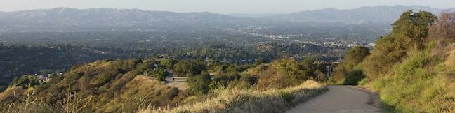
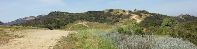
Los Angeles | Trails Trail Rating:
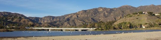
Recently restored Malibu Lagoon State Beach is a lovely place to walk around an estuary and stroll along the beach. Take a walking path to overlooks around shorebird-filled wetlands and connect to Surfrider Beach, a world famous point break where Malibu Creek meets the Pacific Ocean. Sinking your toes in the sand, you can make your way east to Malibu Pier. ...Read more.
By: Published: December 30, 2015 Last updated: October 8, 2024