Camping in Malibu Creek State Park
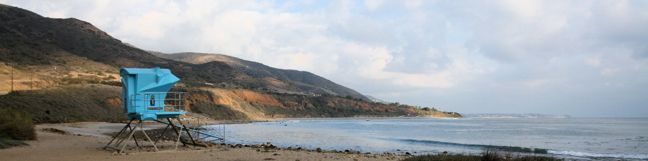
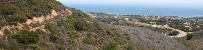
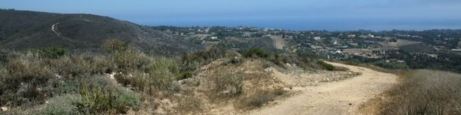
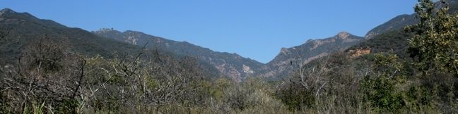
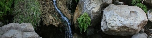
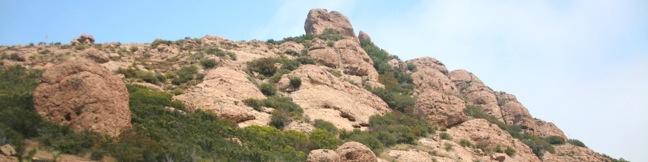
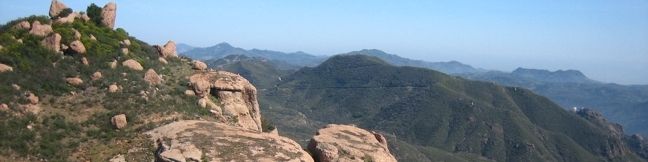
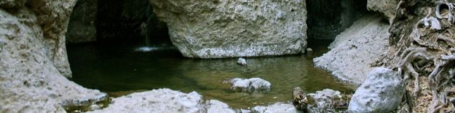
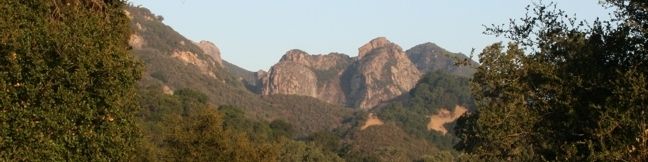
Malibu Creek State Park is a popular destination for campers and hikers who want to experience the beauty of Malibu's mountains and canyons. The 7,000-acre park boasts a good amount of trails, including the popular hike to the former set of MASH. Located just 35 miles from downtown Los Angeles, Malibu Creek State Park offers a quick getaway for residents eager for a night in the outdoors. ...Read more.
By: Published: January 14, 2010 Last updated: April 19, 2026
Camping in Leo Carrillo State Park
Leo Carrillo State Park boasts a large campground just across PCH from the park's 1.5 miles of beautiful waterfront. A path from the campground goes underneath PCH to allow easy access to the beach. Once there, campers can swim, surf, and walk along the shore, exploring numerous rock formations with sea caves and tide pools. The campground is made up of 135 sites, each with its own picnic table and fire ring. ...Read more.
By: Published: January 14, 2010 Last updated: April 19, 2026
Zuma Canyon Ocean View Trail – Canyon View Trail loop in the Santa Monica Mountains
The appeal of Ocean View and Canyon View Trails is self-evident. Both offer fine views of the Pacific Ocean and Zuma Canyon. Located on the opposite side of Zuma Canyon as Zuma Ridge Trail, Ocean View and Canyon View Trails combine to form a 3.1-mile loop with 750 feet of elevation gain. To complete the loop, leave from the Bonsall Trailhead and start up Zuma Canyon Trail. ...Read more.
Distance: 3.1 miles · Elevation change: 3.1 feet
By: Published: January 12, 2010 Last updated: April 9, 2026
Zuma Ridge Trail in the Santa Monica Mountains
Zuma Ridge Trail (also known as Zuma Ridge Motorway) is a wide dirt service road that weaves northwest up the ridge west of Zuma Canyon. The hike starts at the base of the flood plane, but quickly leaves the shrubby canyon for grassy mountain slopes. The views improve as the trail climbs, offering several great lookouts over Zuma Beach, Point Dune, Malibu High School, and the ocean beyond. ...Read more.
Distance: 5.4 miles · Elevation change: 1390 feet
By: Published: January 12, 2010 Last updated: December 6, 2025
Zuma Canyon Narrows – Zuma Ridge Loop in the Santa Monica Mountains
This demanding 8-mile loop includes two miles off-trail, trekking through a lush untamed canyon. Begin the loop on Zuma Canyon Trail. The sandy single track traverses a brushy open space, crossing and following a stony creek bed. After 1.4 miles, Zuma Canyon narrows and the trail dissolves. The true challenge begins! From the end of Zuma Canyon Trail, it is two miles to the next maintained path, an Edison Fire Road. ...Read more.
Distance: 8 miles · Elevation change: 1715 feet
By: Published: January 12, 2010 Last updated: April 9, 2026
Zuma Canyon Trail in the Santa Monica Mountains
This 2.8-mile hike leaves a coastal Malibu neighborhood to explore rustic Zuma Canyon. The sandy single track shoots north through a brushy open space, crossing and following a stony creek bed. Sporadic oaks and sycamores become more concentrated as the mouth of the canyon closes. Enjoy the increasing shade and lush canyon views. The easy trail climbs only 115 feet and has no steep sections. ...Read more.
Distance: 2.8 miles · Elevation change: 115 feet
By: Published: January 12, 2010 Last updated: December 5, 2025
Solstice Canyon in the Santa Monica Mountains
Solstice Canyon offers an easy no-fuss walk alongside a flowing creek in a wide canyon. The big attraction on this 2.6-mile round trip hike is a small waterfall next to interesting ruins. Solstice Canyon is a great venue for a picnic and a stroll. The wide trail is so level it can be walked in flip-flops, making this one of the most family-friendly hikes in the Santa Monica Mountains. ...Read more.
Distance: 2.6 miles · Elevation change: 300 feet
By: Published: January 11, 2010 Last updated: April 18, 2026
Tri Peaks in the Santa Monica Mountains
Want to add another peak to the Sandstone Peak-Mishe Mokwa loop? The side trail to Tri Peaks offers an additional 1.2 miles of rugged (but not too steep) hiking. The offshoot is far less maintained than the main loop and appears to get frequent visits from water runoff. Getting to Tri Peaks involves hiking up a trail that has devolved into a gully. ...Read more.
Distance: 1.2 miles · Elevation change: 1075 feet
By: Published: January 8, 2010 Last updated: December 5, 2025
Sandstone Peak in the Santa Monica Mountains
At 3,111 feet, Sandstone Peak is the tallest point in the Santa Monica Mountains. The summit can be reached via a 6.25-mile loop with 1,075 feet of elevation gain that (in addition to bragging rights) offers expansive views of the range. Head to Circle X Ranch in the Santa Monica Mountains, and start up the Backbone Trail toward Sandstone Peak. After a third of a mile, turn right, taking the connection to Mishe Mokwa Trail. ...Read more.
Distance: 6.25 miles · Elevation change: 1075 feet
By: Published: January 7, 2010 Last updated: April 13, 2026
The Grotto in the Santa Monica Mountains
Simply named The Grotto, this narrow bolder-filled canyon with small talus caves covering a creek in the mountains makes a fun destination for a short hike. From the Circle X Ranch Visitor Center in the Santa Monica Mountains National Recreation Area on the west side of Malibu, it is 3-mile round trip to the Grotto with 475 feet of elevation loss. The trail beneath Circle X Ranch and Exchange Peak From the main parking area for Circle X Ranch, walk down the access road to a small group campsite and pick up the single track trail to the Grotto, which descends into a verdant canyon. ...Read more.
Distance: 3 miles · Elevation change: 475 feet
By: Published: December 28, 2009 Last updated: May 19, 2026