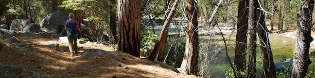
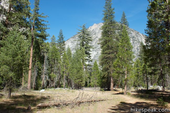
Kings Canyon is a rugged trench in the Sierra Nevada Mountains that is so remote it can only be accessed from one road. In such a landscape, where a pristine river slices down a canyon between sheer rock walls, you would not expect to find a long and level trail suitable for casual hikers, but that’s exactly what you will find on Kanawyer Loop Trail. This easy 5-mile trek with just 125 feet of elevation change follows trails on both sides of the South Fork of the Kings River between Road’s End and a Bailey bridge, exploring intimate cedar forests with scenic mountain backdrops for a rarely-this-easy hiking experience.
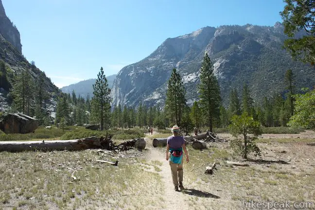
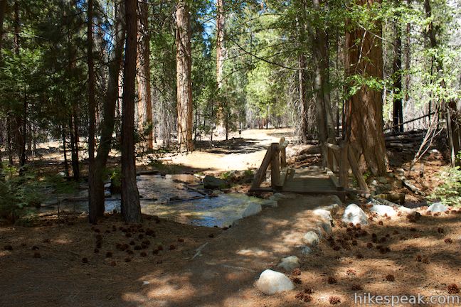
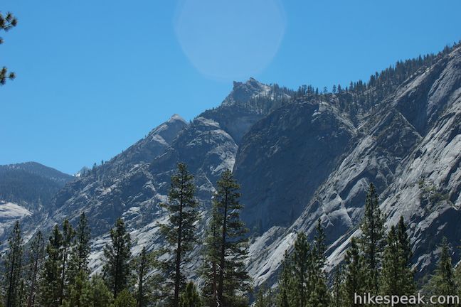
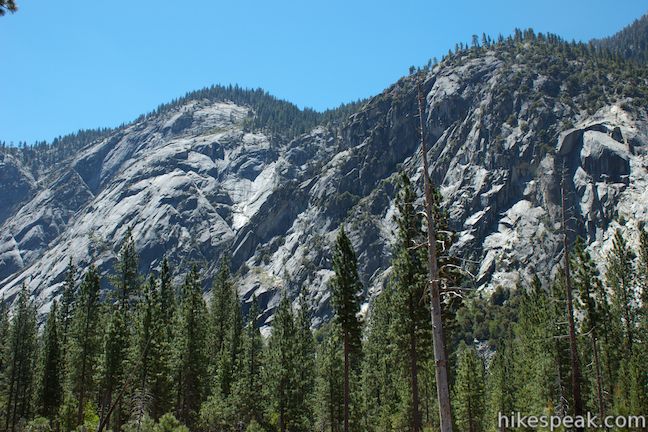
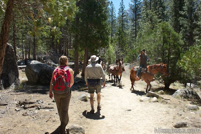
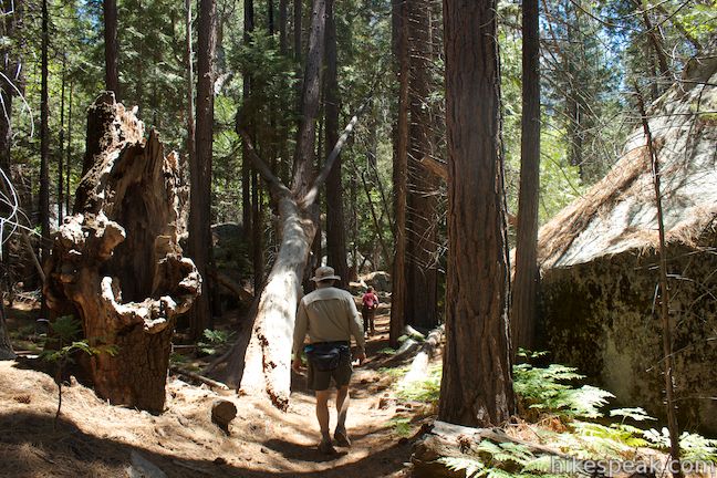
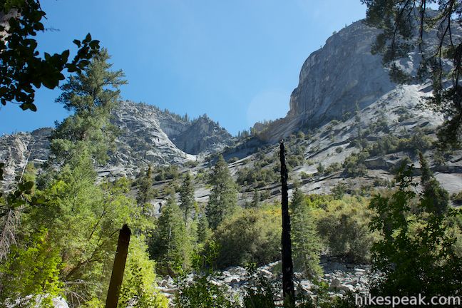
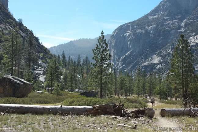
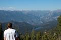
The trail starts at Road’s End, the terminus of the Generals Highway in the Cedar Grove Area of Kings Canyon National Park, next to a wooden building that serves as a backcountry permit office (no permit is needed for day hikers). Hike east following signs for Bubbs Creek, Mist Falls, and Paradise Valley. Almost immediately, the wide trail crosses a wooden footbridge over Copper Creek. The trees thin as you proceed to reveal larger views of the dramatic walls framing the canyon. Jagged bluffs on both sides of the river rise over two thousand feet above the canyon floor, making Kings Canyon feel like an enclosed oasis not unlike Yosemite Valley. To the southeast, you will spot an uniquely shaped summit, aptly named the Sphinx.
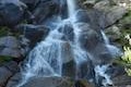
As you hike up the trail, the soil underfoot will become loose and sandy and your feet might slip a bit, so even through the trail is straight and level, it is not completely easy going during this first leg of the hike. At the end of the first mile, see if you can spot a faint seasonal waterfall tumbling down the granite wall on the south side of the canyon.
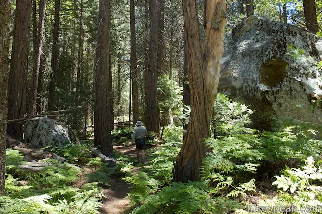
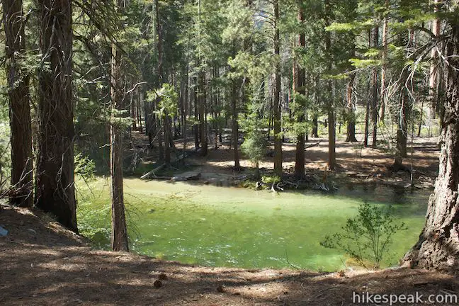
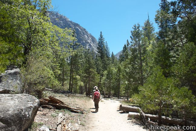
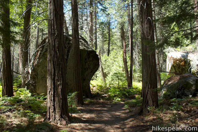
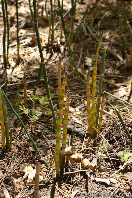
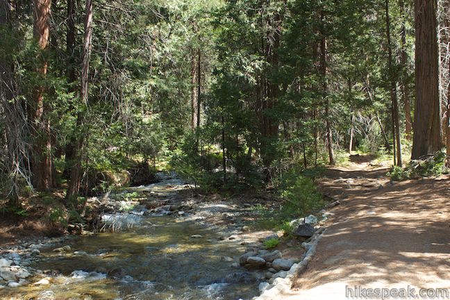
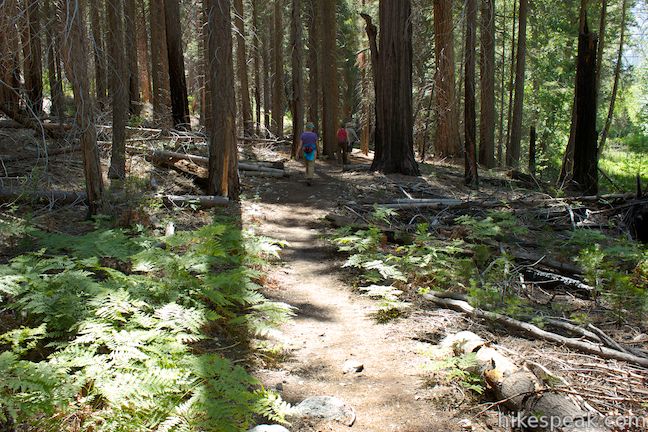
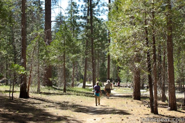
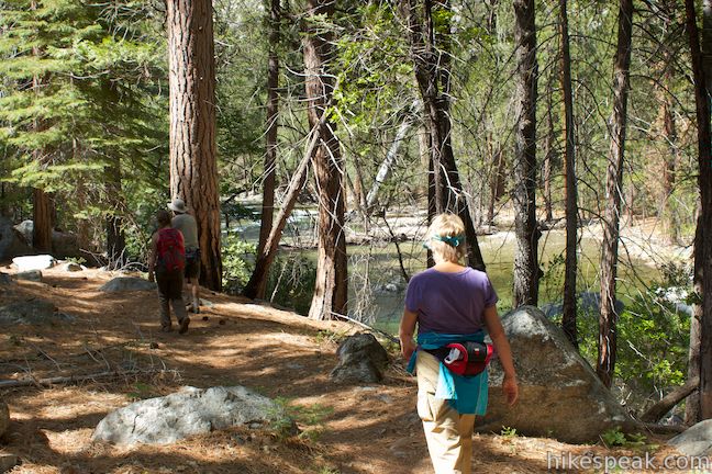
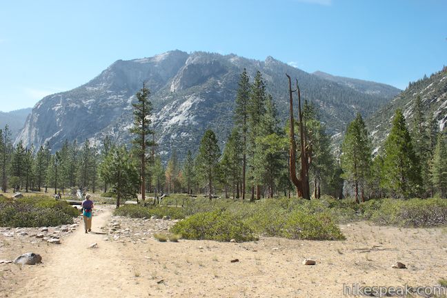
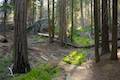
After 1.55 miles, the trail makes a sharp downward turn to the right, plunging into a dense forest before swinging back to the left to continue heading east through a lush riparian area closer to Kings River. The trail becomes more pleasant, with firm footing between beds of ferns and horsetails amidst the incense cedars.
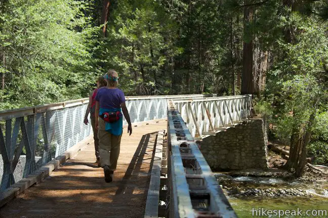
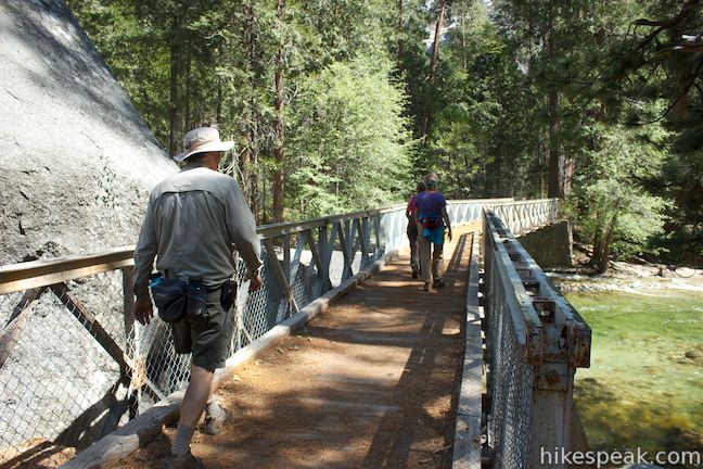
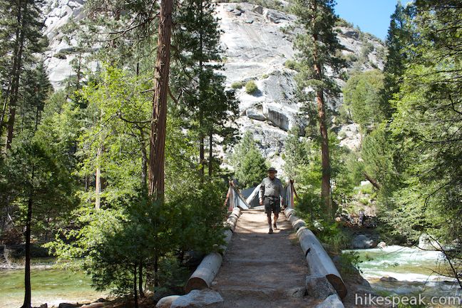
After two miles of easy striding, you will reach an important junction. Paradise Valley Trail breaks off to the left, continuing up the South Fork Kings River toward Mist Falls. Stay to the right to reach the Bailey bridge crossing the river just below the confluence with Bubbs Creek. This prefabricated bridge provides a sturdy steel span across a peaceful stretch of the South Fork. Enjoy views up and down the river as you make your way to the south bank, where the trail continues alongside Bubbs Creek.
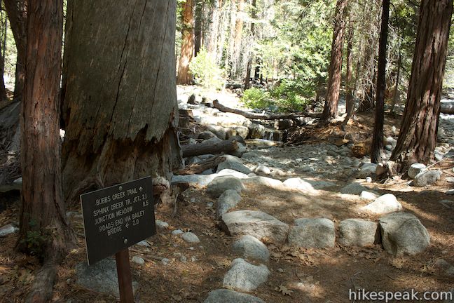
About a tenth of a mile from the Bailey bridge, you will come to another trail junction. Bubbs Creek Trail breaks off to the left, heading east up the pleasant creek higher into the backcountry of Kings Canyon National Park. To continue with the loop, turn right on Kanawyer Loop Trail, following signs for Road’s End and Zumwalt Meadow.
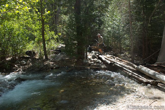
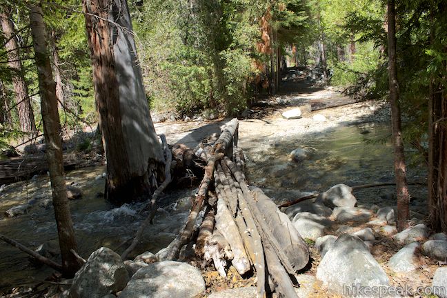
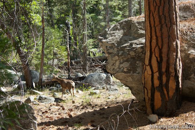
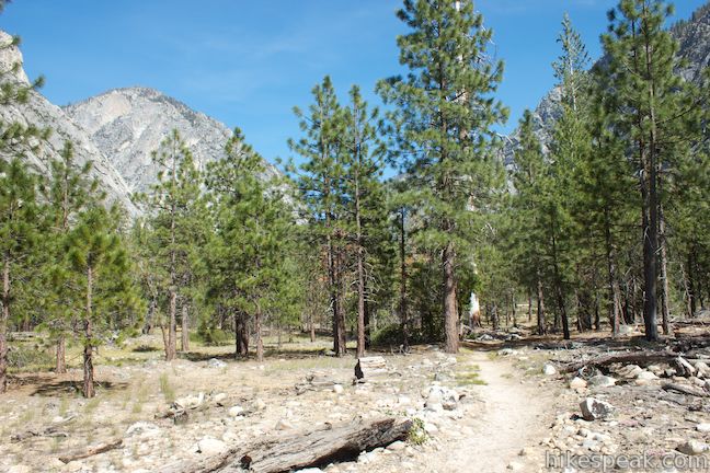
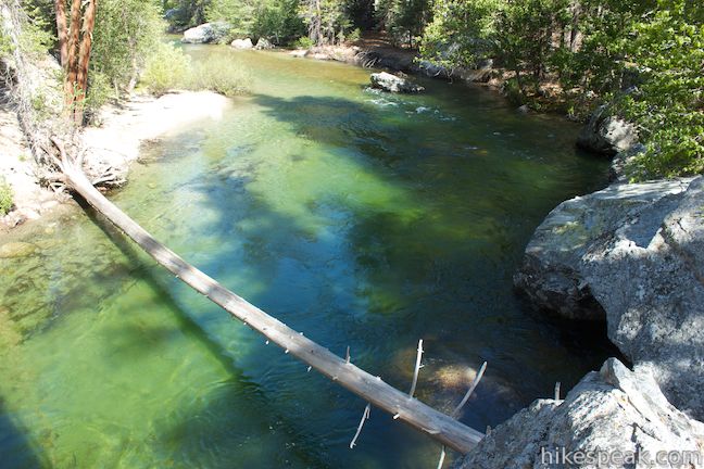
After just another tenth of a mile, you will reach a seasonal stream that has no bridge except for a collection of logs. Walk bravely to the other side and continue down the trail through a mixed forest of incense cedars, ponderosa pines, and white firs. As the dirt single track angles closer to the vertical canyon wall, look up through the trees to witness a small waterfall on Avalanche Creek cascading down the granite wall overhead. At 0.45 miles from the Bubbs Creek Trail Junction (2.6 miles from the start), rock hop across a couple branches of Avalanche Creek and continue through the sunny forest. The trail draws near the canyon wall before swinging back toward to the river.
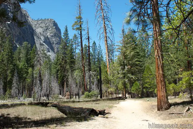
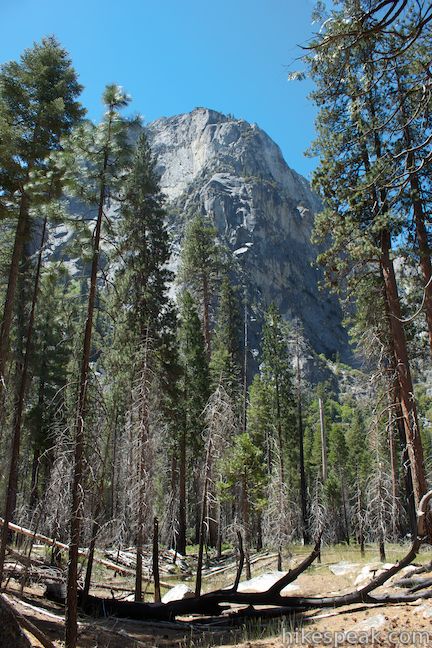
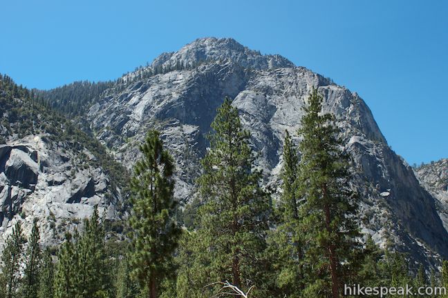
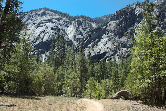
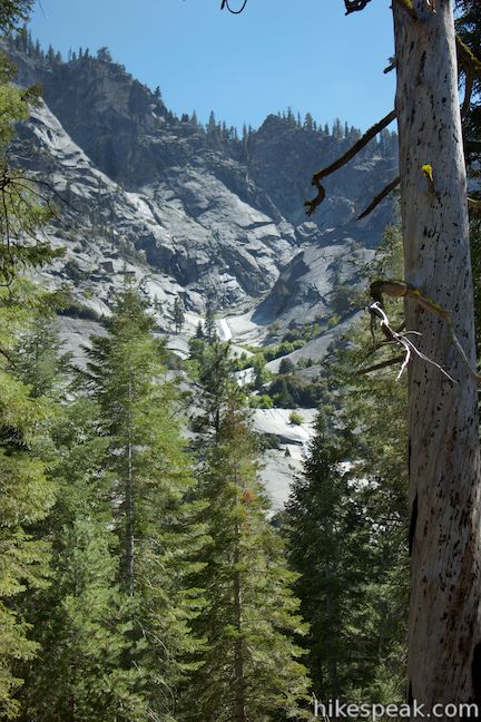
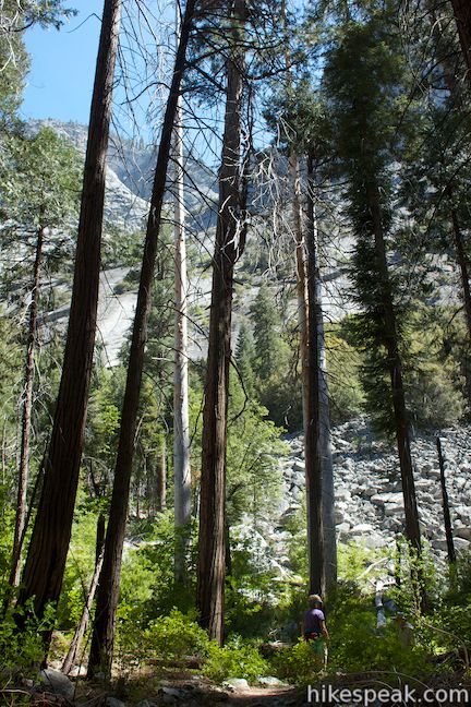
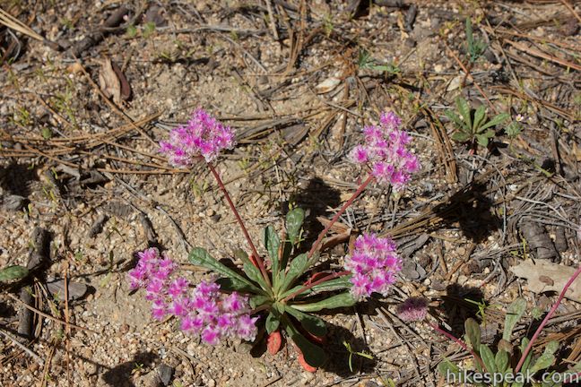
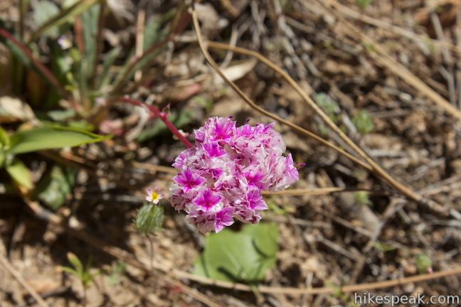
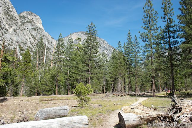
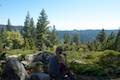
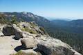
The trail then passes through several large openings in the forest, broken up by occasional black oaks and sections of pine forest. In the spring and summer, pussypaws and lupines bloom in these open meadows. Grasses and manzanitas are the dominant ground cover, exposing clear views of Kings Canyon. The Grand Sentinel towers above the south side of the canyon across from North Dome on the opposing granite wall. The trail keeps it on the level, allowing you to stroll peacefully along the canyon bottom as you enjoy this dramatic view.
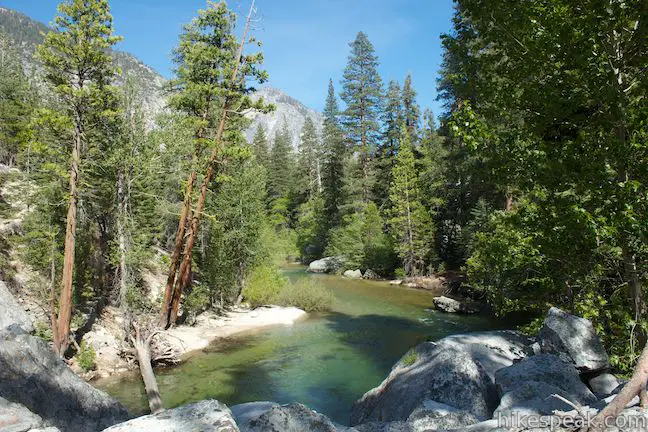
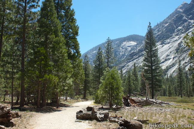
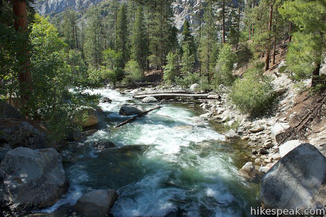
Around the three-mile mark, Kanawyer Loop Trail runs right alongside the South Fork Kings River, whose emerald green water simply adds to the serenity. Sugar pines provide shade along the river. These trees produce the longest pine cones of any conifer, so see how many you can find that are over a foot long.
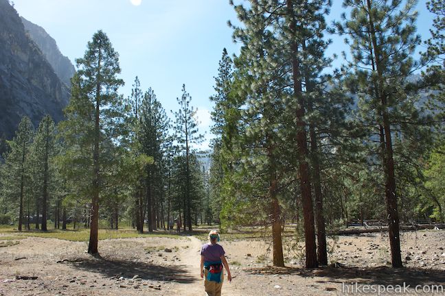
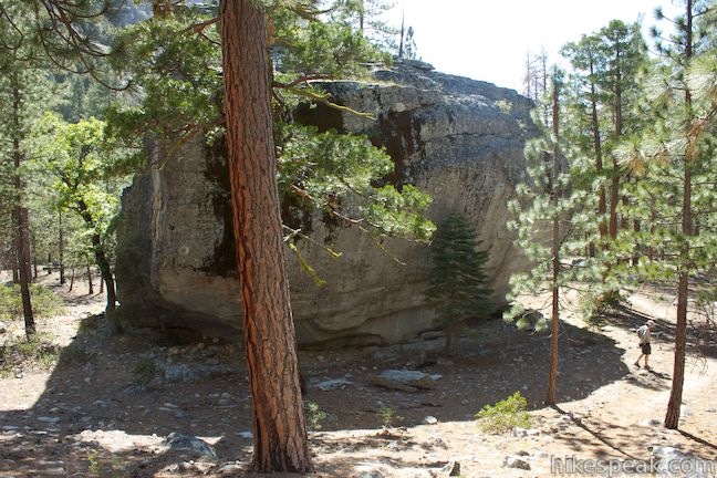
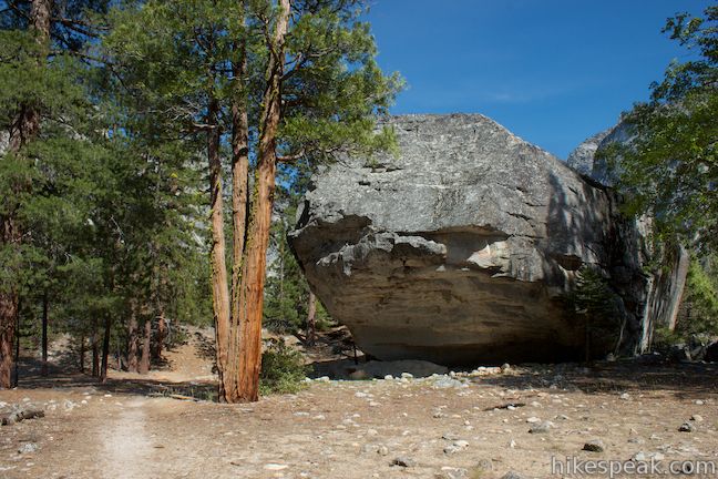
While crossing through another meadow dotted with pines, you will pass a huge isolated boulder on the left, 3.9 miles from the start, that is as big as a two-story house. The rock features some century old graffiti, having been tagged ‘W. B. 1912.’
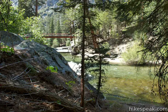
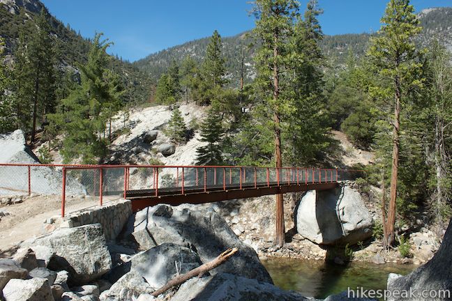
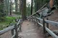
The dirt trail slips back into a forest along the river, and you will spot the parking area at Road’s End teasing you on the other side. Kanawyer Loop Trail goes well past the trailhead before reaching the bridge back across the river. Make a final push across a boulder field to reach a junction with River Trail at the start of the bridge.
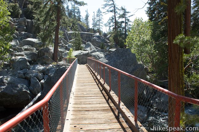
From this junction, 4.75 miles from the start, you could stray west on River Trail toward Zumwalt Meadow and Roaring River Falls. To continue on Kanawyer Loop Trail, turn right and cross the bridge suspended about twenty feet above the river. The bridge seems to span a mood change in the river. Upstream from the bridge, the river looks calm, vibrant, and inviting. Downstream, the river is filled with foreboding whitewater rapids.
On the other side of the bridge, follow the trail to the right to return to the parking area at Road’s End, completing the 5-mile loop.
Kanawyer Loop Trail is a rare find in a remote part of the Sierra, pairing extended easy hiking with great scenery. Dogs and mountain bikes are prohibited on trails in Kings Canyon National Park. A national park entrance fee is required to visit the park, but you will not need a permit to day hike in Kings Canyon, so get out and enjoy!
To get to the trailhead: From Fresno, drive east on Route 180. After some 50 miles, you will reach the Big Stump Entrance Station for Kings Canyon National Park. Proceed 1.7 miles to a three-way intersection. To the right, Route 198 heads south toward Sequoia National Park. Turn left to stay on Route 180. From here, it is another 35.8 miles to Road’s End. Along the way you will exit Kings Canyon National Park and cross through Sequoia National Forest before reentering Kings Canyon. Road’s End is 7.25 miles past the boundary between Sequoia National Forest and Kings Canyon National Park. At 6.5 miles before the end of the road, you will come to an intersection where Cedar Grove Road splits off to the left. Stay to the right on Generals Highway, temporarily crossing to the south side of the river to reach Road’s End.
Trailhead address: Generals Highway (California 180), Kings Canyon National Park, CA 93633
Trailhead coordinates: 36.794663, -118.582941 (36° 47′ 40.78″N 118° 34′ 58.58″W)
View Kanawyer Loop in a larger map
Or view Kings Canyon National Park in a larger map
Or view a regional map of surrounding Sierra Nevada trails and campgrounds.


 | Roaring River Falls This paved 0.3-mile round trip hike reaches a thundering little waterfall on a tributary of the Kings River in Kings Canyon National Park. |
 | Grizzly Falls This 0.1-mile round trip stroll at Grizzly Falls Picnic Area in Sequoia National Forest reaches the base of an 80-foot waterfall along the Generals Highway near the Cedar Grove Area of Kings Canyon National Park. |
 | North Boundary Trail This 3.55-mile hike starts on the trail between Grant Grove and Grant Village and passes the General Grant Tree to reach a 2.75-mile loop through the pine forest north of the Grant Grove. |
 | General Grant Tree Trail This 0-8 mile loop in the Grant Grove passes through a Fallen Monarch to reach the General Grant Tree, one of the world's largest sequoias. |
 | North Grove Trail This 2-mile loop explores a quiet grove of sequoias near the crowded Grant Grove and can combine with Dead Giant Loop Trail for 3.25-mile hike. |
 | Dead Giant Loop Trail This 2.25-mile loop passes a small meadow and a large dead sequoia to reach Sequoia Lake Overlook and can combine with nearby North Grove Trail for 3.25-mile hike. |
 | Grant Village to Grant Grove Trail This mile-long trail connects the visitor center at Grant Village with the parking lot at Grant Grove, passing through Azalea Campground to reach giant sequoias, including the General Grant Tree. |
 | Panoramic Point This 0.5-mile round trip hike reaches an exception overlook with views into Kings Canyon. |
 | Buena Vista Peak This 2-mile round trip hike ascends 420 feet to a granite summit with 360-degree views over the Redwood Mountain Sequoia Grove and Kings Canyon. |
 | Hart Tree and Fallen Goliath Loop This 8.3-mile loop on Hart Tree Trail and Redwood Creek Trail passes tranquil streams and interesting sequoias in the Redwood Mountain Grove in Kings Canyon National Park. |
 | More trails in the Sierra Nevada Mountains Explore other destinations in Kings Canyon National Park and the rest of the range. |
 | Sequoia and Kings Canyon National Parks Campgrounds There are 14 campgrounds with over 1,000 total sites spread throughout the parks to facilitate your visit. |
Hi- is this hike dog friendly? I saw on one site that Agnew Grove was not in the national park, but wasn’t sure if the whole trail was out of the parks..
Thanks!
Hi – Dogs are not allowed
Great easy hike. Lots of mosquitos by the creek and meadow, wear spray. Beautiful area.
What do you think about getting a big wheeled jogging stroller through the trail? We managed on big stump trail but want to know before we venture into such a commitment.
I think you would do OK with the jogging stroller on this one.
Can we camp anywhere on the trail ?
What’s the story of the Kanawyer Family and trail? I heard once that they were escorts in Kings Canyon.Ran mule teams and mined copper near the beginning of the trail.