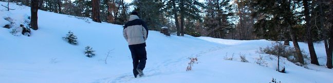
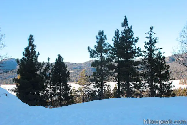
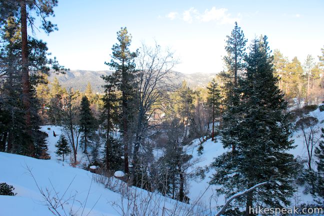
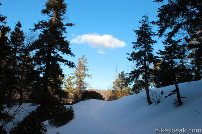
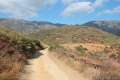
If you travel to Big Bear Lake in the San Bernardino Mountains, there’s a good chance you like the outdoors. Those looking for a short hike that’s quick to access from town should set out on Towne Trail. This 2 2/3-mile round trip hike ascends 200 feet on a gradual rolling course along the base of the mountains on the south side of Big Bear Lake. Discover periodic views north over the lake and the surrounding peaks as you enjoy this pleasant woodland hike between Snow Summit Mountain Resort and Forest Service Road 2N08, just above Knickerbacker Road.
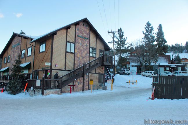
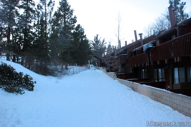
Once you get going on Towne Trail, it is easy to follow. To find the trailhead, leave the parking lot for Snow Summit Mountain Resort and walk up the road to the right of the building labeled Tyndall Haus.
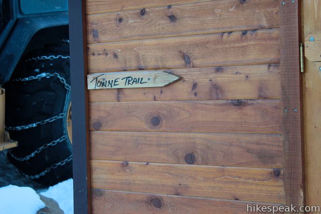
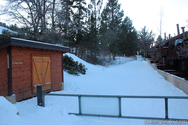
Find Towne Trail behind the row of condos on the right. A small trail sign on a shed marks the start of the trail. Turn right and begin up Towne Trail (if you hit the ski slopes, you went too far). Walk behind the condos for about a tenth of a mile and leave the development behind.
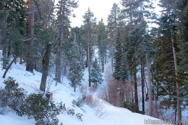
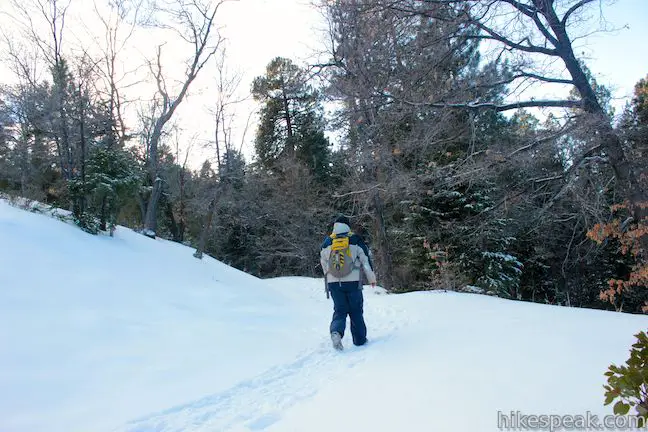
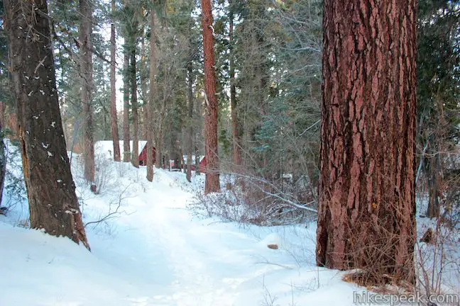
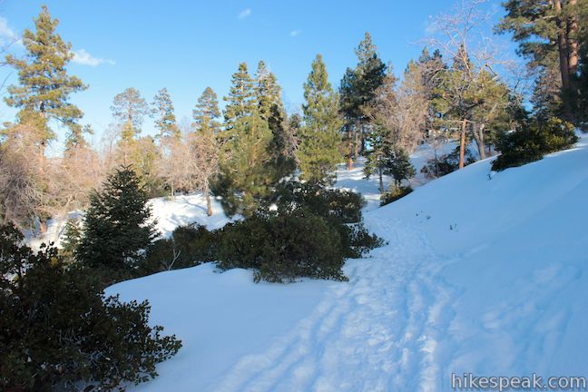
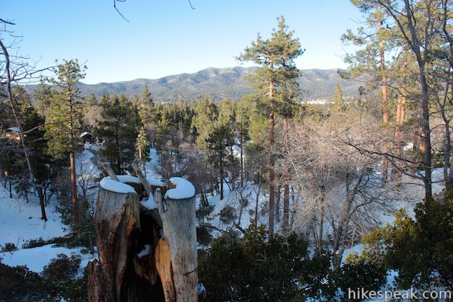
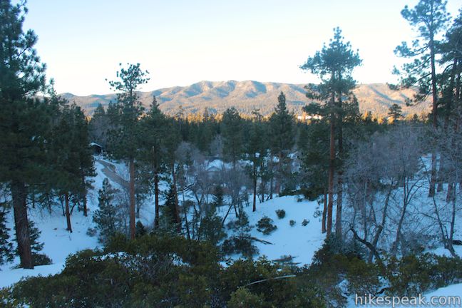
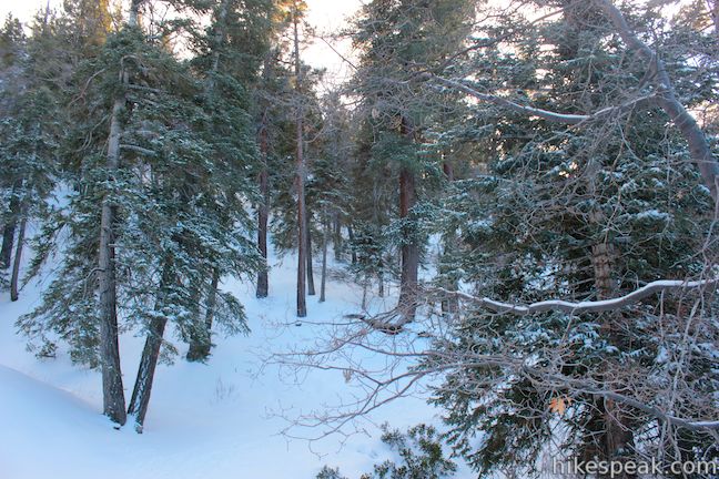
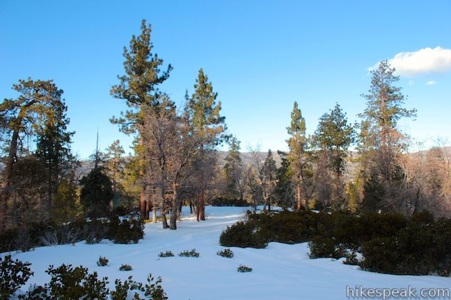
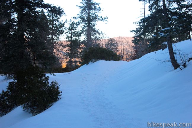
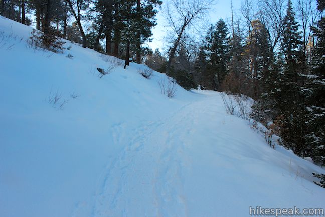
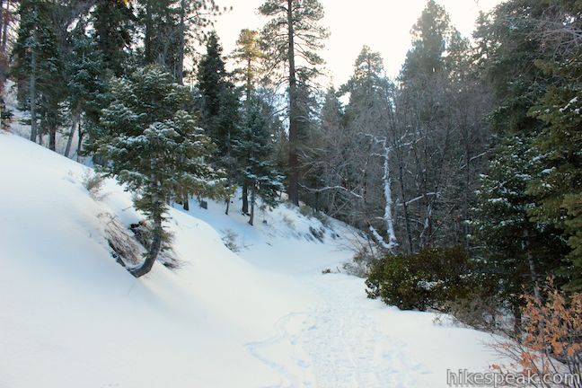
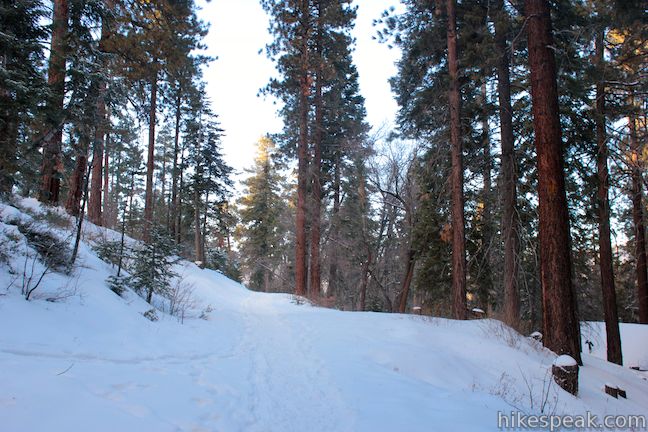
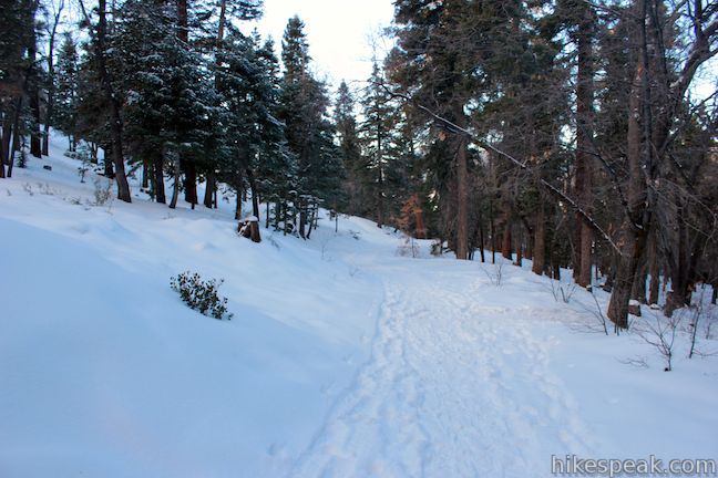
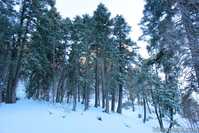
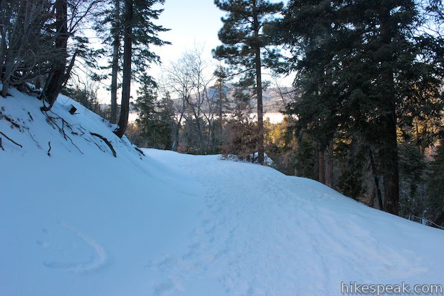
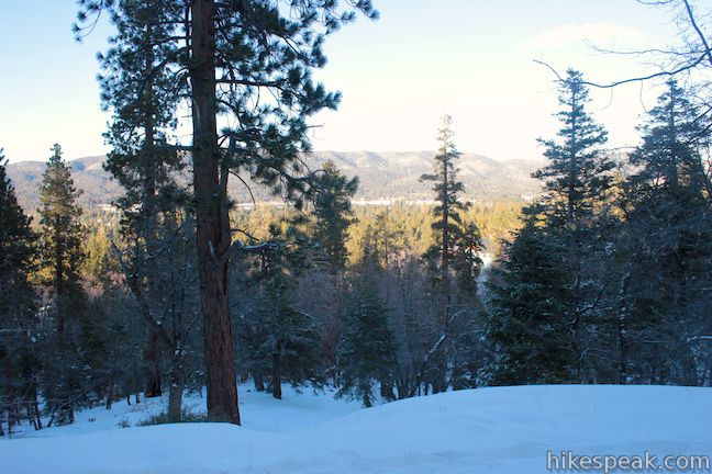
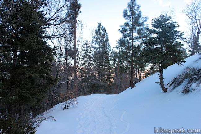
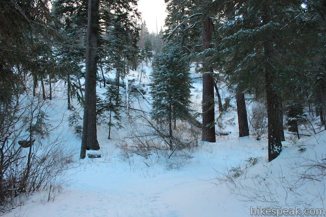
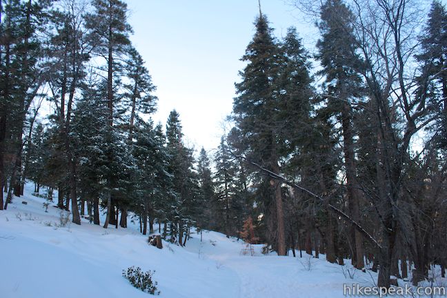
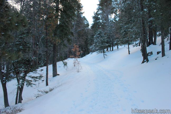
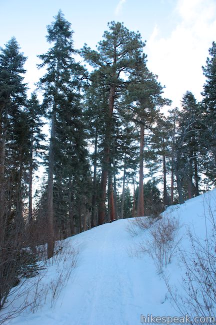
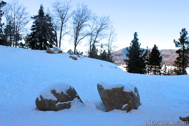
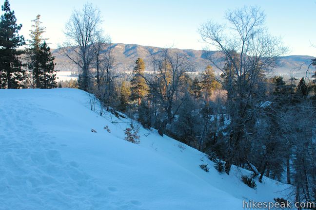
The trail enters San Bernardino National Forest and weaves over ridges and creases on the mountain slope. Several landings along the way provide opportunities to pause to admire the views through Jeffrey pines and black oaks toward Big Bear Lake. Dip across a seasonal stream, 2/3 of a mile from the start and continue west. Below the trail to the right, you will pass a handful of cabins on the outskirts of town(e).
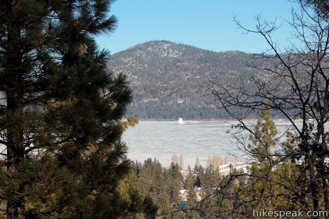
At it’s west end, Towne Trail meets Forest Service Road 2N08. From here, you get one of the hike’s best views of Big Bear Lake. The white form of the Big Bear Solar Observatory is visible on the north shore of the reservoir below Bertha Peak. After enjoying the view, head back the way you came.
If you feel like switching things up, the trail may also be reached from the west end. Drive up Knickerbocker Road to Forest Service Road 2N08, which will be on the left just past the Knickerbocker Mansion Inn. Note: Forest Service Road 2N08 closes to vehicle traffic in the winter when parking also becomes restricted on Knickerbocker Road. Go 0.3 miles up Forest Service Road 2N08 to Towne Trail, which you will find on the left at the outside of a horseshoe bend in the road. An obvious line of boulders blocks vehicles from driving down the trail.
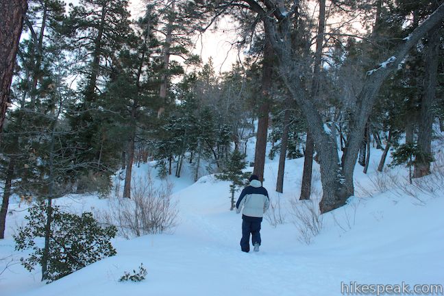
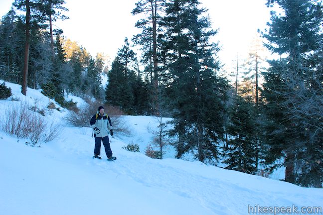
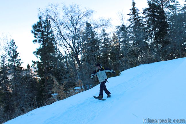
Big Bear’s winter season typically lasts between the third week of December and the third week of February. During that period, Towne Trail becomes a welcome course for cross country skiers and snowshoers, as well as hikers. When the snow is gone, mountain bikers can enjoy the trail too. No fee or permit is required to hike Towne Trail (unless you park your vehicle in the national forest along Forest Service Road 2N08, in which case a National Forest Adventure Pass is required). Dogs are welcome, so get out and enjoy!

Directions to the Trailhead
- From Big Bear Lake, take Route 18 (Big Bear Boulevard) to Summit Drive.
- The intersection has a traffic light.
- Drive south for 0.5 miles to the end of Summit Drive, turn right on Thrush Drive and park in the lot outside Snow Summit Mountain Resort.
Trailhead Location
Trailhead address: Thrush Drive & Forest Trail, San Bernardino National Forest, Big Bear Lake, CA 92315
Trailhead coordinates: 34.236792, -116.889687 (34° 14′ 12.45″N 116° 53′ 22.87″W)
View San Bernardino Mountains in a larger map
Or view a regional map of surrounding Southern California trails and campgrounds.
 | Heaps Peak Arboretum Take a short hike on Sequoia Trail and Footprint Trail to learn about the plants, animals, and natural history of the San Bernardino Mountains. |
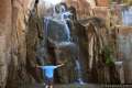
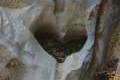 | Heart Rock This 1 to 1.4-mile round trip hike follows a mountain stream to an overlook of an amazing heart-shaped formation in the rock wall along Seeley Creek Falls. |
 | Marshall Peak This 3.25-mile round trip hike reaches a panoramic summit above the foothills of the San Bernardino Mountains. |
 | Canyon View Loop Trail This 3.75-mile loop in Whitewater Preserve crosses Whitewater River and incorporates a section of the Pacific Crest Trail to deliver big views up and down Whitewater Canyon on the east end of the San Bernardino Mountain. |
 | More hikes in Southern California Explore more trails in Orange, Riverside, San Bernardino, and San Diego counties. |
Common Questions about Towne Trail in Big Bear Lake
- Is the trail open?
- Yes. You should expect to find that Towne Trail is open. There are no recent reports of trail closures. If you discover that the trail is closed, please help your fellow hikers by reporting a closure.
- Is this trail free to access?
- Yes, Towne Trail is free to access. No entrance fee, pass, or permit is required. If you discover that access rules have changed, please provide feedback on your experience.
- How much time does this hike take?
- It takes approximately 1 hour 15 minutes to hike Towne Trail. Individual hiking times vary. Add extra time for breaks and taking in the views.
- How long is this hike?
- The hike to Towne Trail is a 2.66 mile out and back with 200 feet of elevation change.
- Are dogs allowed on this trail?
- Yes, dogs are allowed on Towne Trail. The trail is open to hikers, dogs, bikes.
- What mountain range is this trail in?
- Towne Trail is located in the San Bernardino Mountains.
- Where is the trailhead located?
- The trailhead for Towne Trail is located in Big Bear Lake, CA.
Trailhead Address:
Thrush Drive
Big Bear Lake, CA 92315
Trailhead Coordinates:
34.236792, -116.889687 - What are the driving directions to the start of the hike?
To get to the trailhead: From Big Bear Lake, take Route 18 (Big Bear Boulevard) to Summit Drive. The intersection has a traffic light. Drive south for 0.5 miles to the end of Summit Drive, turn right on Thrush Drive and park in the lot outside Snow Summit Mountain Resort.
View custom Google Maps directions from your current location.
- Are there other trails near Towne Trail?
- Yes, you can find other nearby hikes using the Hikespeak Hike Finder Map.

Is there snow on this trail right now in February 2015? When is there snow in this area generally (outside of the ski resorts)?