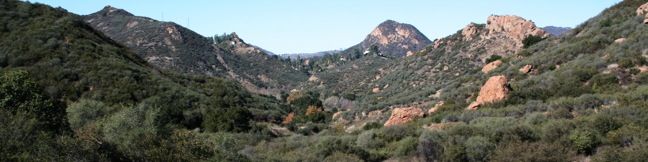
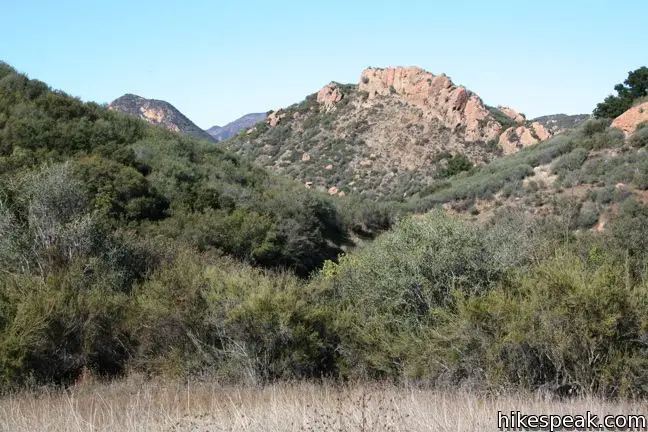
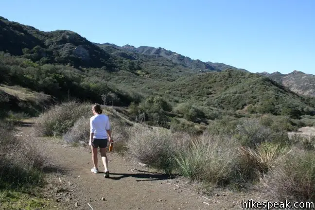
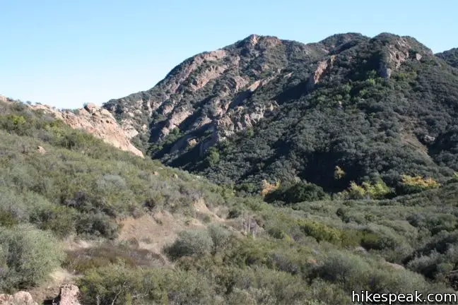
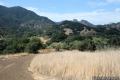
Lost Cabin Trail is a 0.75-mile long dead-end single track departing from Crags Road near the location where the MASH television show was filmed. The trail ends in a mountain canyon at an empty plot where a cabin once stood. Though there is no longer evidence of the cabin’s existence, the trek still offers hikers immersion into a remote section of Malibu Creek State Park behind the Goat Buttes. While the views are not so sensational as to attract a lot of hikers, Lost Cabin Trail provides a pleasant 1.5-mile extension to the MASH site hike for those looking to get a bit more out of their visit to the park.
Woolsey Fire Update: Lost Cabin Trail and most of Malibu Creek State Park have reopened following the November 2018 Woolsey Fire, which burned through the park. Check the Malibu Creek State Park page for more information.
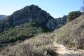
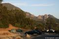
From Crags Road, a couple hundred feet east of the MASH site (and 2.35 miles from the park entrance), turn southwest on a narrow track labeled Lost Cabin Trail.
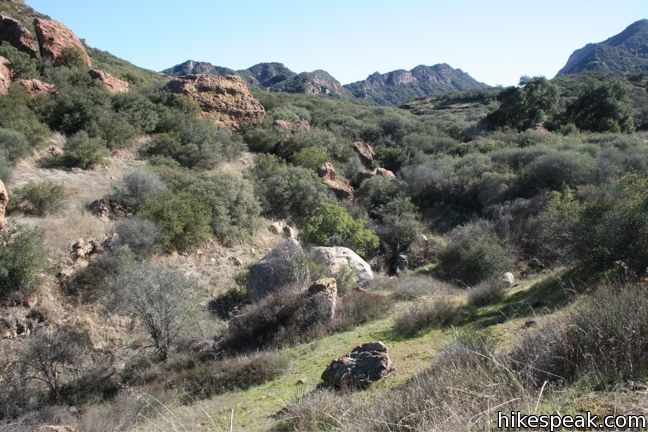
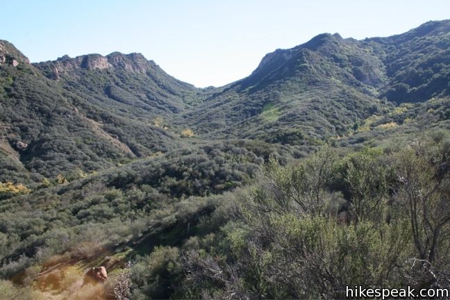
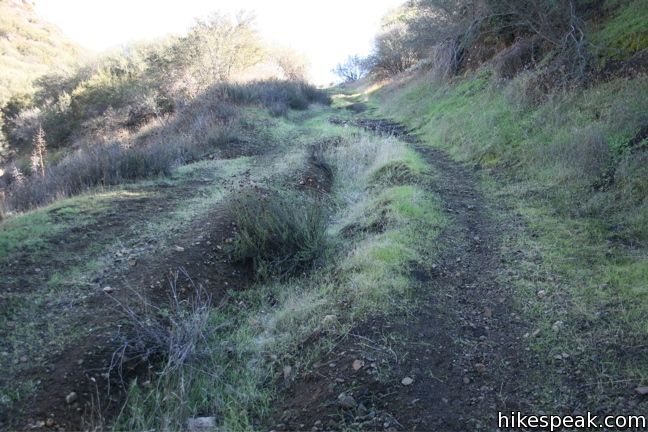
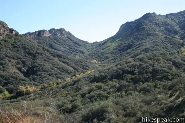
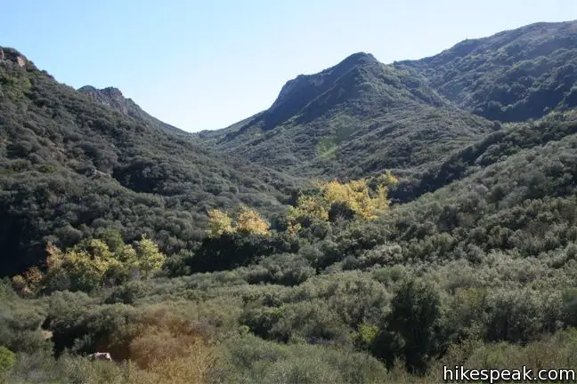
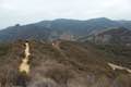
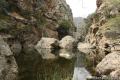
After a short distance, the trail ascends to a saddle in a low ridge with a nice view up and down the range. Lost Cabin Trail continues over the ridge into a fan-shaped mountain canyon. Descend the slope along the left side of the canyon, before crossing the creek bed, and coming to a sudden stop at the site of the Lost Cabin.
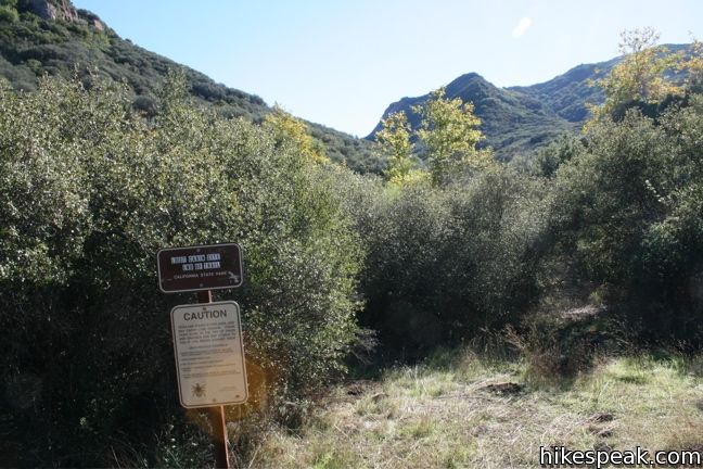
A sign is actually posted to declare that the trail is over, which is the only indication that you have arrived at the location of the now-vanished cabin. The trail becomes faint and harder to follow toward the end, and since the Lost Cabin site is so anticlimactic, if you decide to turn around early, you won’t be missing much.
This is a dead-end trail, with no junctions along the way. After reaching the Lost Cabin, return the way to came for a 1.5-mile extension with 190 feet of elevation between Crags Road and the high point of the trail.
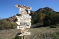
Getting to Lost Cabin Trail: Hike in to the former MASH set along Crags Road from any of the access points to Malibu Creek State Park, including South Grassland Trail, Cistern Trail, and the main park entrance.
Directions to the Trailhead
- The main entrance to Malibu Creek State Park is located on the west side of Las Virgenes/Malibu Canyon Road between the 101 and PCH, 6.1 miles from the coast (just south of Mulholland Highway).
- A $15 fee is charged for each vehicle parking inside the park.
- Parking is also available outside the park.
Trailhead Location
Trailhead address: 1925 Las Virgenes Road, Malibu Creek State Park, Calabasas, CA 91301
Trailhead coordinates: 34.0964, -118.71673 (34° 05′ 47″N 118° 43′ 00.2″W)
You may also view a regional map of surrounding Los Angeles trails and campgrounds.


 | M*A*S*H Set This hike visits the site where the exteriors of the television show MASH were filmed, a 4.75-mile trek from the park entrance. |
 | Cistern, Lookout, and Cage Creek Trails This team of single tracks make a scenic descent to Century Lake in Malibu Creek State Park, providing a short loop or longer hikes to other destinations. |
 | Lake Vista Trail This 4.1-mile hike crosses the west end of Malibu Creek State Park and climbs to a scenic view over Malibu Lake. |
 | Phantom Trail This 4.8-mile round trip hike crosses a panoramic ridge on the north side of Malibu Creek State Park. |
 | Grassland Trail to Crags Road and Rock Pool This easy 3-mile hike enters Malibu Creek State Park on South Grassland Trail, then forms a loop around Crags Road to visit Rock Pool, a popular park retreat. |
 | Talepop Loop This 4.75-mile hike climbs 500 feet over a scenic mountain between Liberty Canyon and Las Virgenes Canyon. |
 | Malibu Creek Traverse This adventure hike explores the C-shaped gorge between Rock Pool and Century Lake in Malibu Creek State Park. |
 | More trails in the Santa Monica Mountains Explore other destinations in the range. |
 | Malibu Creek State Park The year-round campground has 63 sites with picnic tables, fire rings, flush toilets, coin showers, and a dump station. |
Common Questions about Lost Cabin Trail in Malibu Creek State Park
- Is the trail open?
- Yes. You should expect to find that Lost Cabin Trail is open. There are no recent reports of trail closures. If you discover that the trail is closed, please help your fellow hikers by reporting a closure.
- Do I need a permit for this hike?
- Yes. State Park Day Use Fee.
- How much time does this hike take?
- It takes approximately 45 minutes to hike Lost Cabin Trail. Individual hiking times vary. Add extra time for breaks and taking in the views.
- How long is this hike?
- The hike to Lost Cabin Trail is a 1.5 mile extension with 190 feet of elevation change.
- Are dogs allowed on this trail?
- No, dogs are likely not allowed on Lost Cabin Trail. The trail is primarily open to hikers.
- Is Lost Cabin Trail good for kids?
- Yes, this hike is likely suitable for children. It is relatively short (1.5 miles) with manageable elevation gain.
- What mountain range is this trail in?
- Lost Cabin Trail is located in the Santa Monica Mountains.
- Where is the trailhead located?
- The trailhead for Lost Cabin Trail is located in Calabasas, CA.
Trailhead Address:
Crags Road
Calabasas, CA 91301
Trailhead Coordinates:
34.0964, -118.71673 - What are the driving directions to the start of the hike?
To get to the trailhead: The main entrance to Malibu Creek State Park is located on the west side of Las Virgenes/Malibu Canyon Road between the 101 and PCH, 6.1 miles from the coast (just south of Mulholland Highway). A $15 fee is charged for each vehicle parking inside the park. Parking is also available outside the park.
View custom Google Maps directions from your current location.
- Are there other trails near Lost Cabin Trail?
- Yes, you can find other nearby hikes using the Hikespeak Hike Finder Map.

How long will it take to hike the MASH trail? I would like to visit the trail in May 1st Week, is there a guided tour? pl let me know
Thx
In the late 40s early 50s, Ron and Nancy Reagan owned a ranch at mulholland hwy and Malibu lake, now one of the park facilities and parking lots ….
In that same time period they were both in a movie, which also had Nigel
Bruce, in which Reagan played a cynical Indiana Jones type character; in the
movie he and nancy rescue a group of asian children.
I have hiked the Lost Cabin trail, and believe scenes for the rescue were shot
there.
Lost Cabin Trail actually is a through trail. There is a now indistinct trail that leads down the canyon and eventually enters Malibu Creek. There is a fork at that point: to the left goes to the back side of Century Dam, to the right goes to the Rock Pool. In the 70s and 80s this trail was very evident, but not so much anymore. Last time I was on it we used machetes to clear overgrown brush.