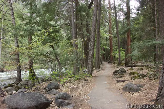
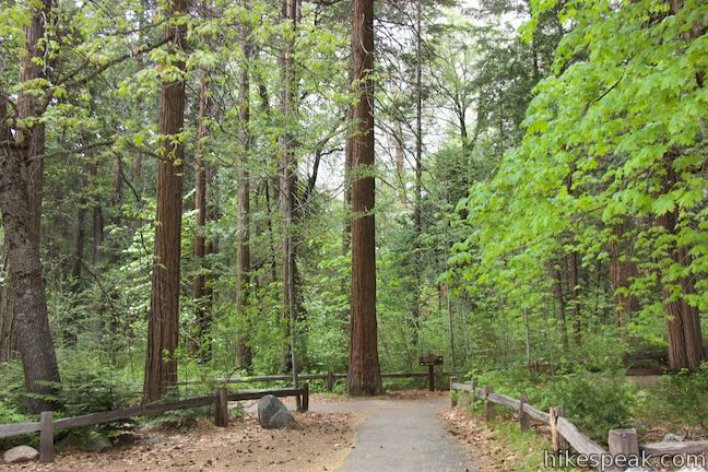
Near the amazing hiking trails in Yosemite Valley is the designed-to-be-delightful Happy Isles Trail. The easy 3/4 of a mile walk at Happy Isles explores a pair of small islands in the Merced River at the east end of Yosemite Valley. While the trail doesn’t feature a show-stopping attraction (like Lower Yosemite Fall Trail), the Happy Isles live up to their name – a pleasant and happy place to walk along the river.
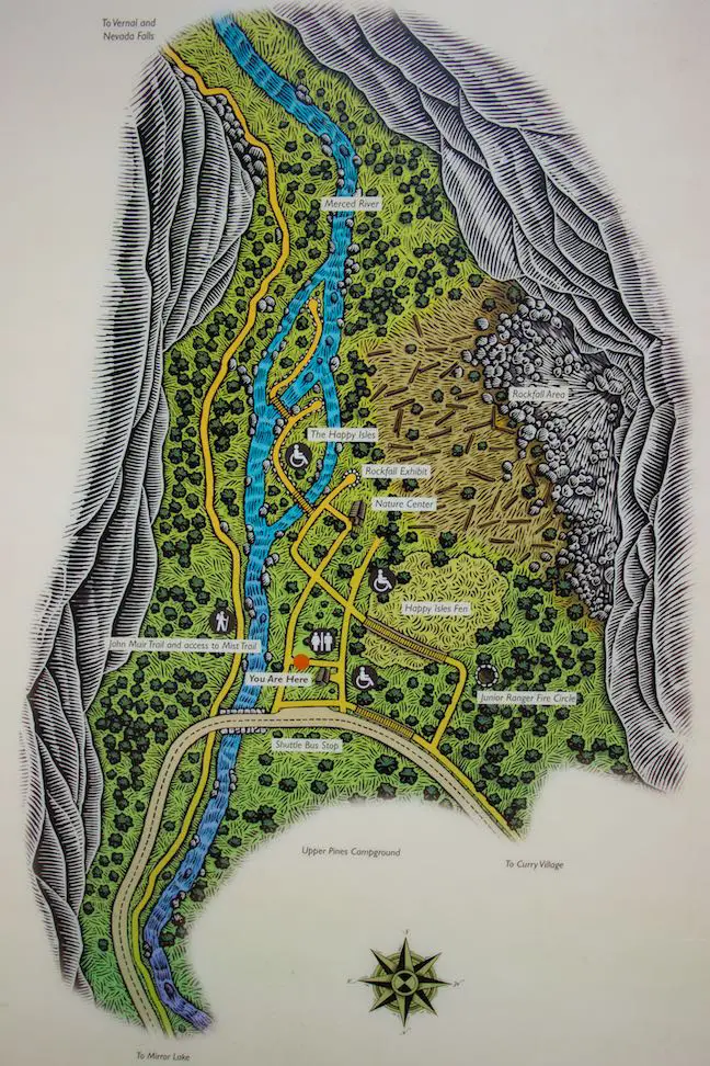
The level and easy hike through the Happy Isles begins from the Happy Isles Shuttle Stop. A kiosk by the shuttle stop provides a map of the Happy Isles as well as a quote from W.E. Dennison, the Guardian of Yosemite Valley from 1884 to 1887 who gave special attention to the small islands in the Merced River that you are about the explore:
I have named them the Happy Isles, for no one can visit them without for a while forgetting the grinding strife of his world to be happy.
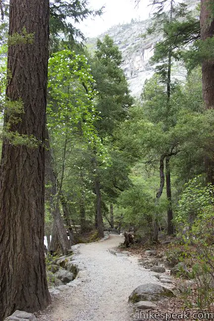
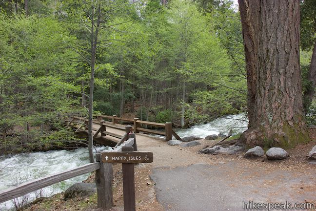
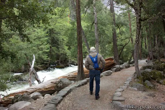
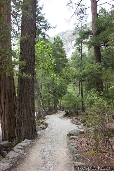
Happy Isles Shuttle Stop is also the start of John Muir Trail and hikes to Half Dome, and the Mist Trail to Nevada Fall and Vernal Fall. Hikers looking for the John Muir Trail head east from the shuttle stop and cross a bridge over the Merced River. To begin exploring the Happy Isles, head east initially as well (turning left as you face the kiosk at Happy Isles), but don’t cross the bridge with the road. Instead, turn up the trail heading up the river toward the Happy Isles. Make your way through the forest and south up a trail along the Merced River.
After 250 yards, come to a tiny building for the Happy Isles Stream Gage. In its window is a monitor displaying the current weather for this precise location. A panel explains that:
This gage station house holds equipment that measures, records, and transmits the height of the water surface (or stage) of the Merced River here at Happy Isles via a Geostationary Operational Environmental Satellite. All information is stored in the USGS National Water Information System database for public viewing. In addition, instruments for measuring weather conditions such as air temperature, precipitation, barometric pressure, and wind are installed in and on this building by the National Weather Service.
At this stream gage, a pressurized tube of air on the bottom of the river detects rises and falls in the level of the river, transmitting about 100 measurements per day.
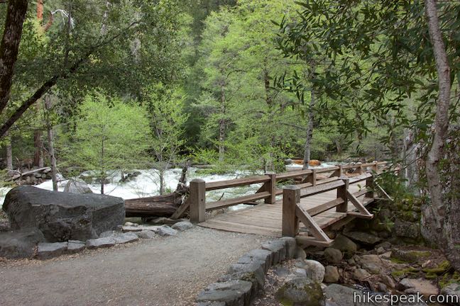
After checking the weather, proceed another 50 yards up the trail to a junction (0.17 miles from the start). Straight ahead, the trail continues toward Happy Isles Nature Center and a rockfall exhibit. For now, turn left, following a sign for the Happy Isles. The trail crosses a bridge over part of the Merced River out to the first of two islands.
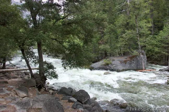
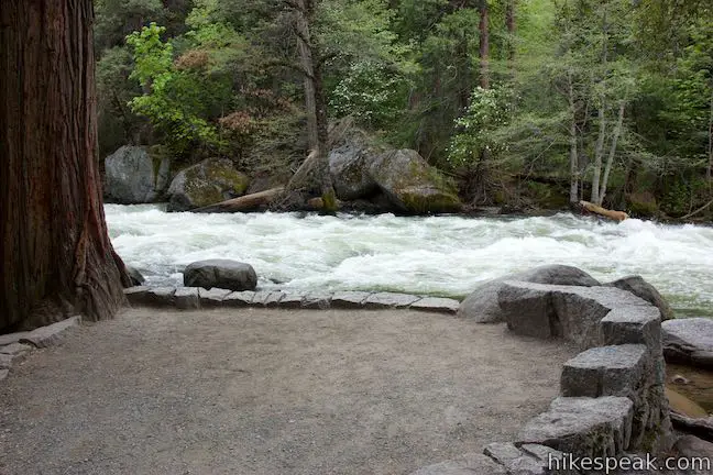
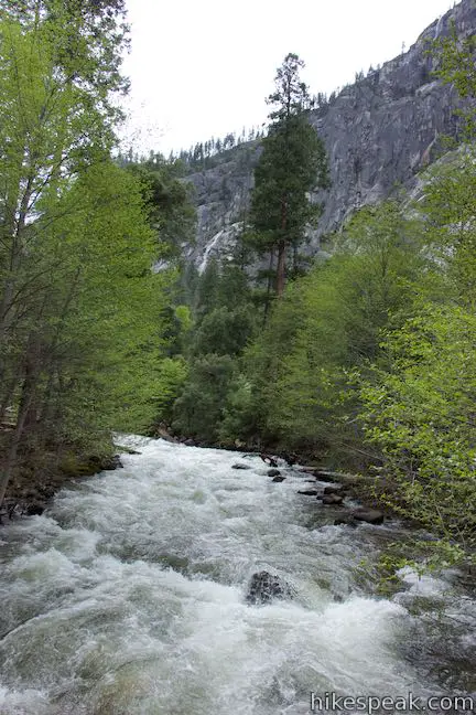
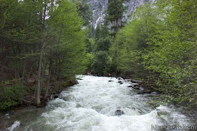
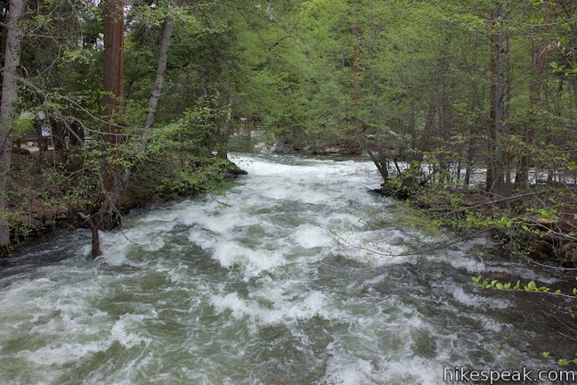
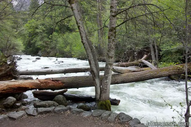
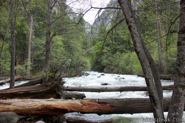
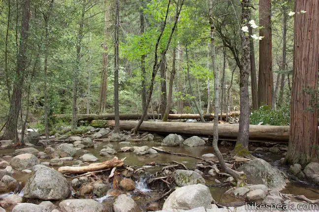
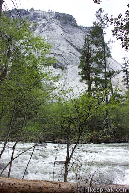
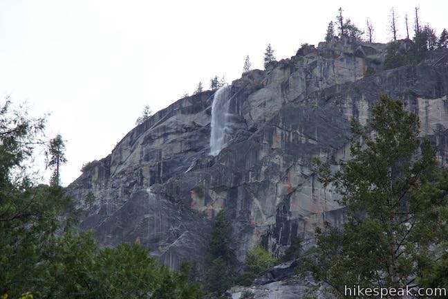
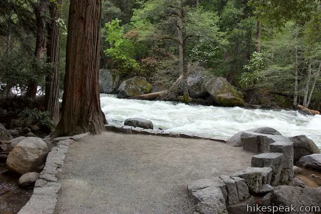
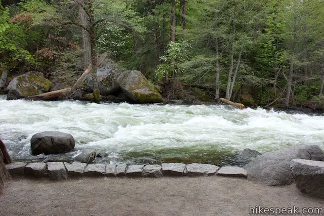
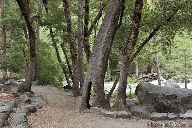
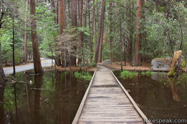
As you cross the bridge, gaze up and down the Merced River. If you’ve walked along the easy-going mellow river downstream (or floated by in a tube), you’ll find the Happy Isles stretch of the Merced to have a bit more of a downhill grade. The water tumbles over boulders, whispering hints about the waterfalls upriver. During the summer and fall, the river here is picturesque, tranquilly pouring over and around boulders. During the months of April and May, snowmelt typically causes the Merced River to swell and the river at Happy Isles rages with white water rapids.
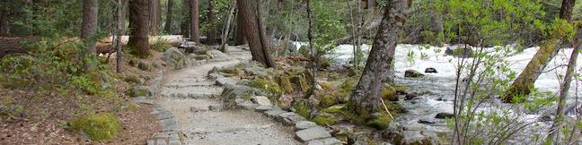
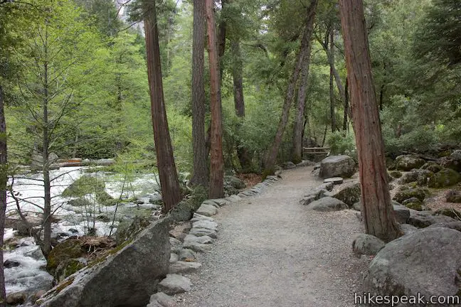
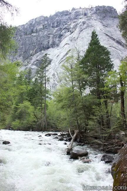
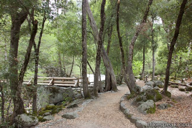
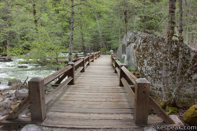
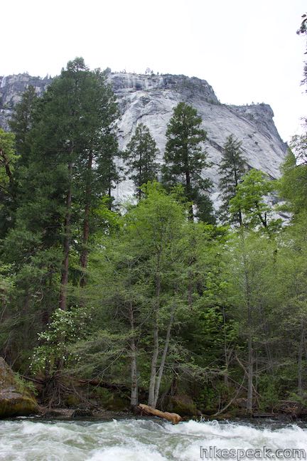
Ease your way onto the first island, a glorious patch of forest wrapped by the river. Boulders line the water, providing shelter for hearty trees to take root. Come to a junction in the middle of the first island. Proceed to the right first, up to a point at the south end of the island, a quarter mile from the start of the hike. Pause here to look up and across the river.
Backtrack to the junction and take the other fork, which crosses a bridge to the second island. Below the bridge is a smaller slice of the river, where the water courses around smooth boulders. In the middle of the bridge, pass a plaque honoring Steven Tyng Mather, which reads:
He laid the foundation of the national park service, defining and establishing the policies under which its areas shall be developed and conserved unimpaired for future generations. There will never come an end to the good that he has done.
Mr. Mather campaigned for the creation of a National Park Service. When the NPS was created, he became its first director. Mather served for twelve formative years, expanding the number of national parks and monuments, while establishing a system for bringing new parks into the fold.
As a side note, Mather spent his early professional career working for Pacific Coast Borax Company, where he is credited with the labeling of “20 Mule Team Borax” – a name that still has significance in Death Valley today.
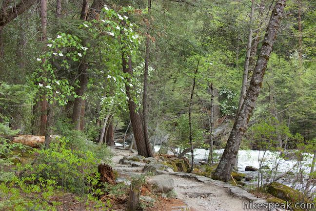
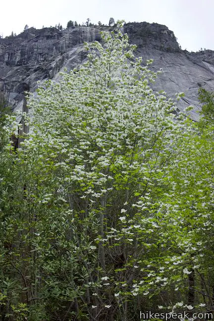
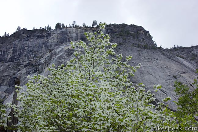
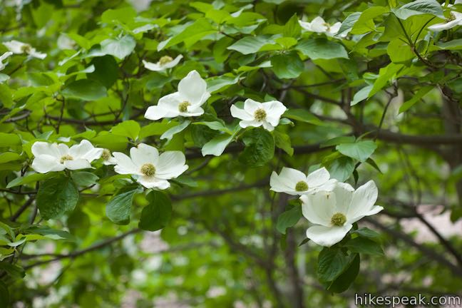
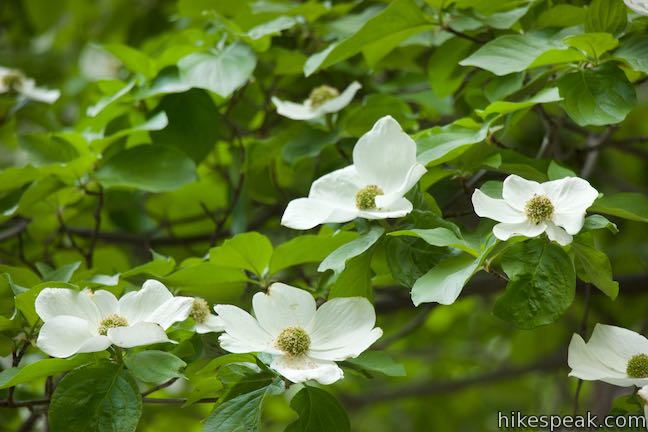
Across the bridge, venture up the second island in the center of the Merced River. Dogwood trees in this area look lovely during their spring blossom. Happy Isles Trail approaches the south end of the island and comes to an end at a viewpoint. Take in another perspective up the Merced and then backtrack down the trail. Make a right turn on the other island to get back to the off-river part of the trail.
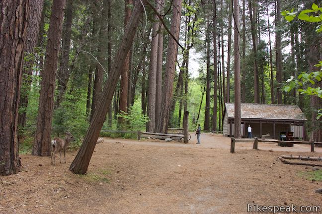
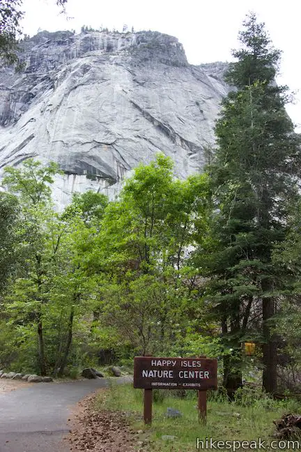
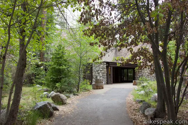
Turn left to visit the nature center and the rockfall exhibit, fifty yards up this trail. The nature center had been used as a fish hatchery, starting in 1926, but was remodeled and converted into a nature center in the 1950s. The nature center is open during the summer with limited hours. The family-friendly nature center has interactive displays about wildlife and natural history.
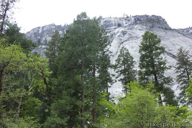
Outside the nature center, you’ll find an exhibit with four panels describe Yosemite’s geological history and a major rock fall. In July of 1996, a section of granite about 200 yards across and three stories tall fell from the cliffs above Happy Isles. The rock had a long way to fall, accelerating to a blistering speed before smashing into the valley floor:
On that evening, about 68,000 tons of rock slid down the upper cliff above, then proceeded to free fall 1,800 feet (550 m), hitting the cliff base at about 270 mph (435 kph). During the night smaller sections fell, depositing a total of 80,000 tons of rock.
The shape of Yosemite Valley evolves through periodic rock falls:
Rockfall contributes to the ongoing evolution of Yosemite Valley. Over the past 150 years, approximately 400 events have been documented throughout the valley. Evidence of rockfall can ben seen in talus (piles of rock) at the base of cliffs and in the freshly exposed white granite of cliff walls.
Yosemite Valley was also shaped by glaciers, as a panel explains:
More than a million years ago, global cooling led to the build-up of enough snow and ice in the mountains to form glaciers. Like colossal rivers of ice, these glaciers flowed down the slope of the Sierra, following ancient stream channels, including the Merced River. During glacial activity that ended about a million years ago, a glacier filled this area to the rim and reshaped the stream-cut Yosemite Valley.
Can you imagine Yosemite Valley during the glacier period, filled to the top of Half Dome by ice? When you’re ready to back away from the tall cliffs (probably as soon as you read about the rock fall), return down the trail. Pass through the junction by the bridge to get back to the trailhead shuttle stop.
The Happy Isles are a lovely place to wander and explore. If somehow you manage to become unhappy in Yosemite Valley, Happy Isles should lift your spirits. A bathroom is located next to the Happy Isles Shuttle Stop. The trail is partially paved and wheelchair friendly. Dogs and bikes are not allowed. Yosemite National Park charges an entrance fee, but no permit is needed to visit Happy Isles, so get out and enjoy!
Directions to the Trailhead
- Make your way into Yosemite Valley, parking where available near Yosemite Village or Curry Village.
- Take the free park shuttle to the Happy Isles Shuttle Stop.
Trailhead Location
Trailhead address: Happy Isle Loop Road, Yosemite National Park, CA 95389
Trailhead coordinates: 37.7324, -119.5598 (37° 43′ 56.6″N 119° 33′ 35.3″W)
View Yosemite National Park in a larger map
Or view a regional map of surrounding Sierra Nevada trails and campgrounds.


 | Mist Trail This 1.8 to 6.1-mile hike takes an exciting course past Vernal Fall and Nevada Fall, two of Yosemite's prize waterfalls. |
 | Half Dome This epic 16-mile hike climbs 4,800 feet on one of Yosemite's most popular and most challenging trails. |
 | Panorama Trail This nearly 10-mile long one-way hike travels from Glacier Point down to Yosemite Valley in the most scenic way possible, ending with the Mist Trail. |
 | Mirror Lake This 2 to 2.8-mile hike visits a reflective pool on the east end of Yosemite Valley. |
 | Lower Yosemite Fall Trail This 1.2-mile hike delivers visitors to the base of the tallest waterfall in North America. The experience is not to be missed. |
 | Yosemite Falls Trail This 3.5 to 7.1-mile hike rises from Yosemite Valley past Columbia Rock to unforgettable views of Upper Yosemite Fall. |
 | Bridalveil Fall Trail This easy paved half-mile trail visits the base of a 620-foot single-drop waterfall on the south side of Yosemite Valley. |
 | More trails in the Sierra Nevada Mountains Explore other destinations in Yosemite National Park and the rest of the range. |
 | Yosemite National Park Campgrounds Thirteen campgrounds with over 1,600 total sites are spread throughout the park to facilitate your visit, including Camp 4. |
 | Housekeeping Camp What's not a hotel and not a campground? Housekeeping Camp offers a different type of lodging in the middle of Yosemite Valley. |
- Happy Isles on wikipedia.org (opens in a new tab)
- Happy Isles on yosemitehikes.com (opens in a new tab)
- Happy Isles Nature Center on yosemite.com (opens in a new tab)
- Happy Isles Nature Center on goexplorenature.com (opens in a new tab)
- The official Yosemite National Park webpage with information about Happy Isles Nature Center (opens in a new tab)
- The official website of Yosemite National Park (opens in a new tab)
Common Questions about Happy Isles in Yosemite National Park
- Is the trail open?
- Yes. You should expect to find that Happy Isles Trail is open. There are no recent reports of trail closures. If you discover that the trail is closed, please help your fellow hikers by reporting a closure.
- Do I need a permit for this hike?
- Yes. National Park Entrance Fee.
- How much time does this hike take?
- It takes approximately 15 minutes to hike Happy Isles Trail. Individual hiking times vary. Add extra time for breaks and taking in the views.
- How long is this hike?
- The hike to Happy Isles Trail is a 0.75 mile out and back with spurs with 50 feet of elevation change.
- Are dogs allowed on this trail?
- No, dogs are likely not allowed on Happy Isles Trail. The trail is primarily open to hikers.
- Is Happy Isles Trail good for kids?
- Yes, this hike is likely suitable for children. It is relatively short (0.75 miles) with manageable elevation gain.
- Is this trail wheelchair accessible?
- Yes, Happy Isles Trail is designated as wheelchair-friendly.
- Where is the trailhead located?
- The trailhead for Happy Isles Trail is located in Yosemite National Park, CA.
Trailhead Address:
Happy Isle Loop Road
Yosemite National Park, CA 95389
Trailhead Coordinates:
37.7324, -119.5598 - What are the driving directions to the start of the hike?
To get to the trailhead: Make your way into Yosemite Valley, parking where available near Yosemite Village or Curry Village. Take the free park shuttle to the Happy Isles Shuttle Stop.
View custom Google Maps directions from your current location.
- Are there other trails near Happy Isles Trail?
- Yes, you can find other nearby hikes using the Hikespeak Hike Finder Map.

Go the extra miles...
Submit a rating of this hike to go with your comment. Contribute to the average trail rating.