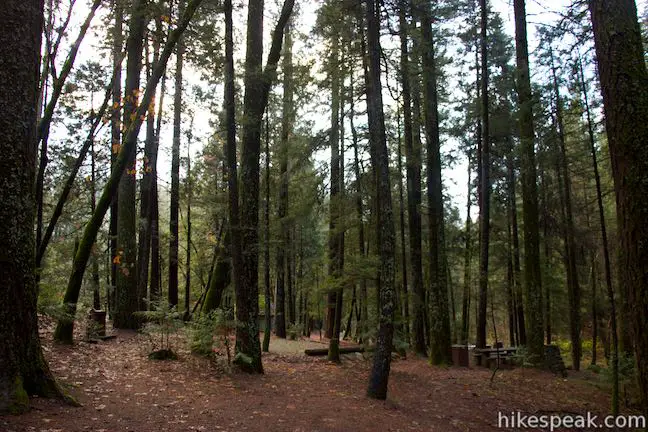
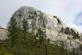
Castle Crags State Park covers nearly 4,000 acres of evergreen forests and rugged granite peaks. The park borders Castle Crags Wilderness, an area of Shasta-Trinity National Forest, which further expands the area that visitors can explore. When one day simply isn’t enough, there is camping available at Castle Crags State Park. The park has year-round camping, with 76 developed campsites that may be reserved in advance during summer months. The Northern California park is easy to reach, located just off Interstate 5 between Redding and Mount Shasta.
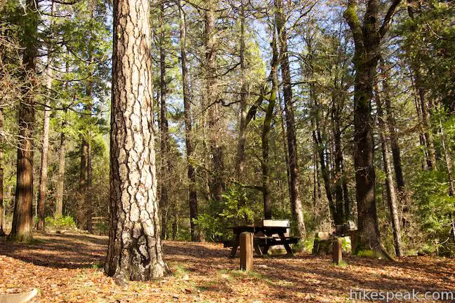
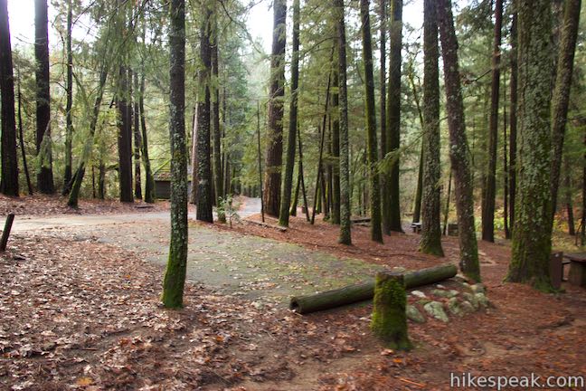
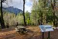
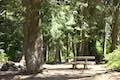
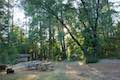
The main camping area at Castle Crags State Park has 64 sites spread out over three loops. The lower loop has sites in wooden area along a stream, and there are sites along the road leading to the loop that are in a field. The little loop has a few sites set aside for backpackers on the Pacific Crest Trail, which passes through the park. The upper loop has even more sites set farther up the hillside. The upper loop can be closed in the winter months, outside of peak season. In addition to the main campground, there is also a 12-site Riverside Campground, located in a separate area of the park along the Sacramento River on the south side of I-5.
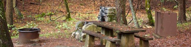
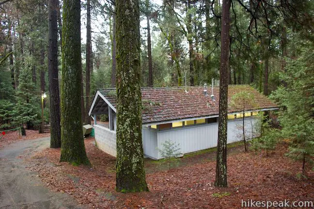
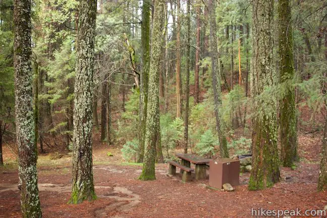
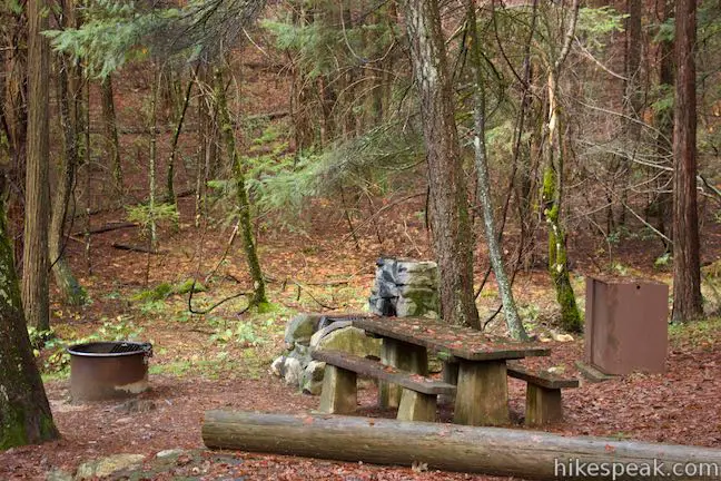
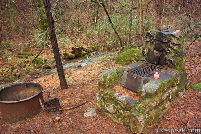
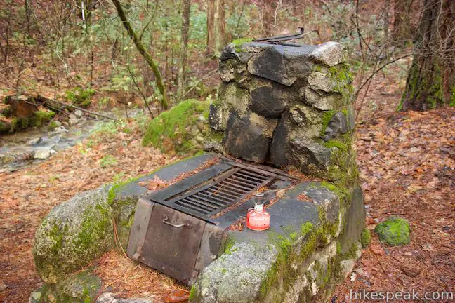
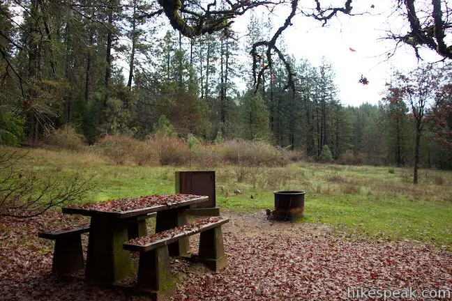
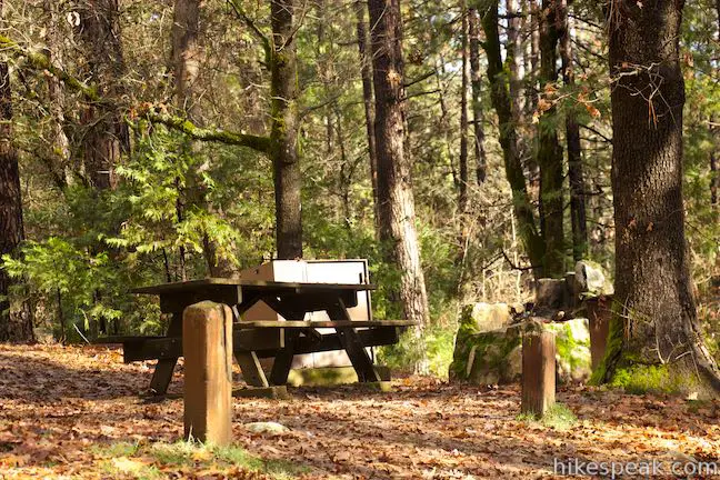
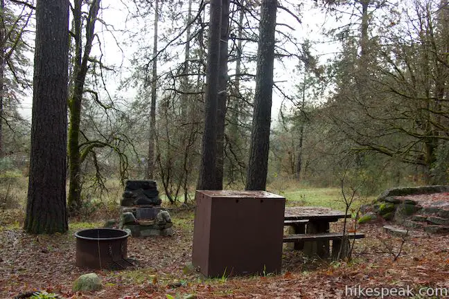
Campsites are $25 per night (as of 2018). Sites can be reserved online or by calling (530) 235-2684. Reservations are only accepted during the peak summer season, beginning mid-May. At other times, the open campsites are first-come first-serve. If you don’t reserve a site in advance, you can pay for a campsite at the park entrance or at an iron range within the campground. Each campsite has an old stone oven and a campfire pit in a metal ring. There are food storage containers and picnic tables at each site too. The campground has bathrooms with flush toilets and coin-operated showers. Water spigots are spread throughout the campground, but may be turned off during the winter season.
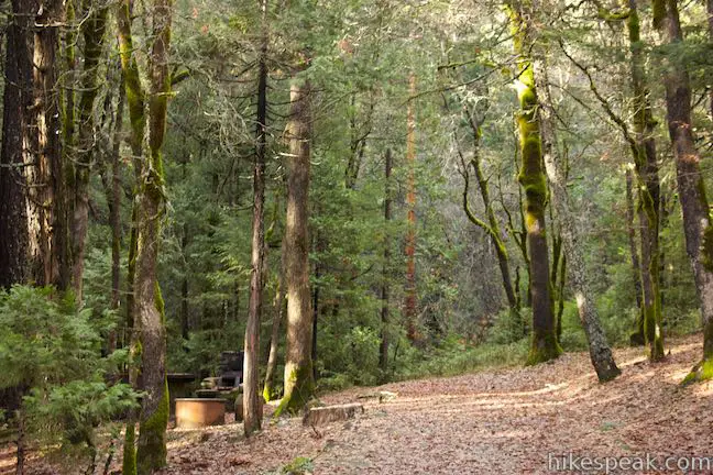
The campground definitely looks great, with cozy sites below big pine trees, but your ears may tell a different story. The big detraction of this campground is the unavoidable sound of the nearby interstate and railroad line. Interstate 5 is actually visible from some sites, particularly in the area leading to the upper loop (sites 26, 28, 31, 35, 36). The upper loop is a bit farther from the roadway, which can lower the volume of the passing semi trucks. During the wet season, you can also try to camp next to the stream to drown out some of the noise. Look for stream-side sites in the lower loop area, numbered in the single digits and teens. Unfortunately, you will hear traffic wherever you camp, and vehicle noise is the major drawback of this otherwise pleasant campground.
Each site allows up to 8 people and can accommodate one or two vehicles (additional vehicles can be left by the park entrance). There is an additional fee of $10 for a second vehicle. Some sites are suitable for RVs up to 27 feet long. Check out time is noon. Pets are allowed on leashes in the campground, but are not allowed on park trails. Campfires are allowed in the provided fire rings and stoves. Wood gathering is prohibited. Because bears can visit the campground too, all food should be kept in the bear-proof lockers that are provided at each site.
Castle Crags State Park also has six environmental campsites, located outside the developed campground. The twelve sites in the Riverside Campground are first-come first-serve and may not be reserved in advance.
To get to the campground: Take Interstate 5 to exit 724 in Castella (located 14 miles south of Mount Shasta City and 44 miles north of Redding). At the bottom of the offramp, turn northwest onto Castle Creek Road. Drive 0.3 miles and turn right into the park entrance. Inside the park, bear right and drive about 2/3 of a mile to the campground up Vista Point Road.
Campground address: 20022 Castle Creek Road, Castella, CA 96017
Campground coordinates: 41.1529, -122.3118 (41° 09′ 10.44″N 122° 18′ 42.48″W)
Use the map below to create your own directions:


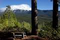
 | Vista Point Trail This short hike reaches the principal viewpoint in Castle Crags State Park, which has a great perspective of granite peaks known as the Castle Crags, along with views of Mount Shasta and the surrounding wilderness. |
 | Crags Trail to Castle Dome This 5.6-mile round trip hike in Castle Crags State Park ascends 2,150-feet through a garden of granite crags to the base of Castle Dome. This hike can be extended to 6 miles round trip by taking a worthy side trail to Indian Springs. |
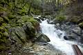 | Root Creek Trail This 2.2-mile round trip hike in Castle Crags State Park takes a level and easy course to a tumbling creek in a mossy forest. |
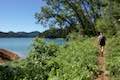 | Bailey Cove Trail This easy 3.1-mile loop circles a hill-covered peninsula on the McCloud Arm of Shasta Lake, providing both lake views and shade. |
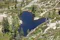 | Heart Lake and Little Castle Lake This 2 to 3-mile hike visits lakes in a beautiful area of Shasta-Trinity National Forest, including the charming-contoured waters of Heart Lake. |
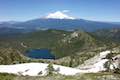 | Castle Peak and Heart Lake This approximately 3.2-mile hike ventures off trail above Heart Lake to a summit with extraordinary views of the Castle Crags and Mount Shasta. |
 | Lake Siskiyou Trail (South Shore Loop) This short and easy lakefront loop offers great views across Lake Siskiyou toward Mount Shasta and the surrounding evergreen wilderness. |
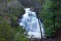 | Faery Falls and Ney Springs This short hike travels along a creek up to an impressive 50-foot waterfall, passing the ruins of an old resort along the way. |
 | Spring Hill This 2.9-mile hike hits a short summit near Mount Shasta with excellent views of Mount Shasta, Black Butte, and the surroundings. |
 | Castle Lake Campground This six-site campground in Castle Lake is shaded by conifers in Shasta-Trinity National Forest. |
 | Antlers Campground This well-shaded 59-site campground in Shasta-Trinity National Forest has level sites on a bluff next to Shasta Lake. |

When will the campsites reopen for overnight camping?