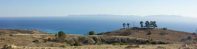
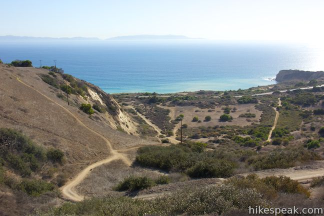
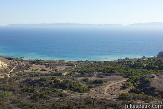
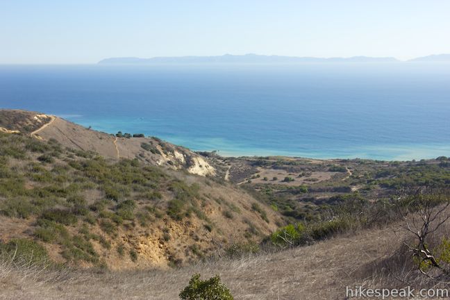
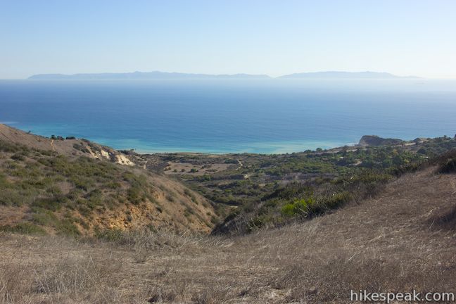
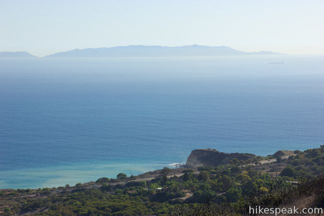
Portuguese Bend Reserve is a 399-acre park on Palos Verdes Peninsula with an elaborate network of trails covering beautiful ocean-facing hillsides, canyons, and ridges. With so many trails, several hikes in the park are possible, including the 5.15-mile trek described here, made up of two loops. For something shorter, skip the lower loop for a 3-mile round trip hike with 575 feet of elevation change (the longer double-loop has 975 feet of elevation change). The hike passes vista points with scenic views looking out across the Pacific Ocean toward Catalina Island. In fact, there seem to be ocean views around just about every corner in Portuguese Bend Reserve.
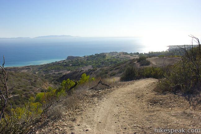
If you don’t like to wait for big views, this is the hike for you. This in an “upside down” hike, meaning that you will start at the high end of the park, descend toward the ocean, and then hike back up, saving the bulk of the uphill for the second half of the hike.
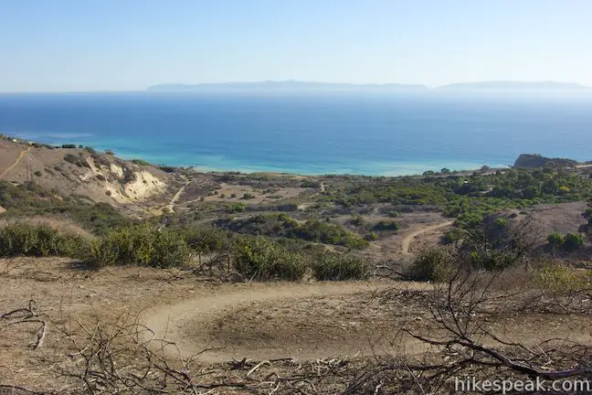
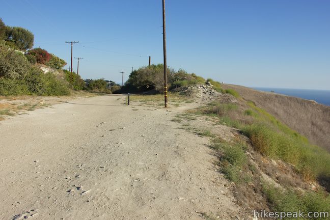
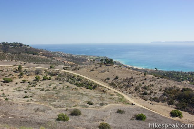
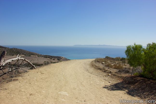
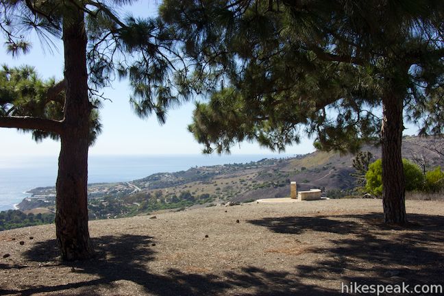
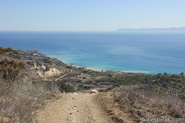
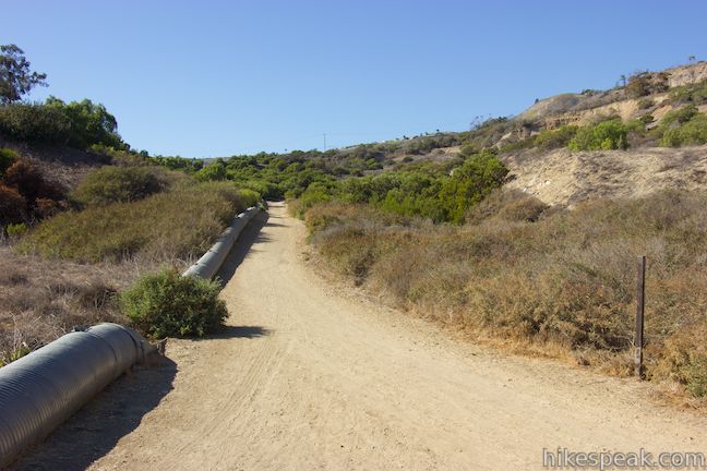
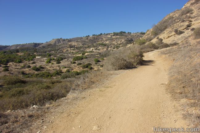
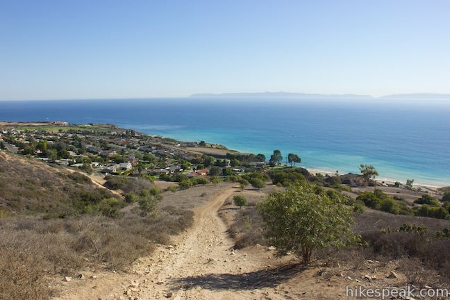
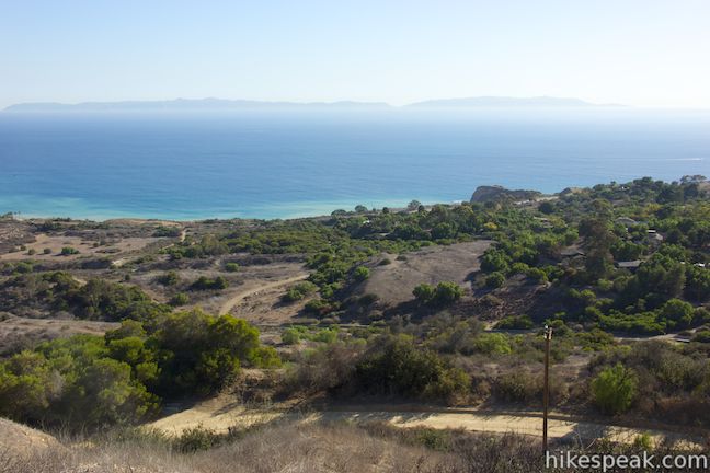
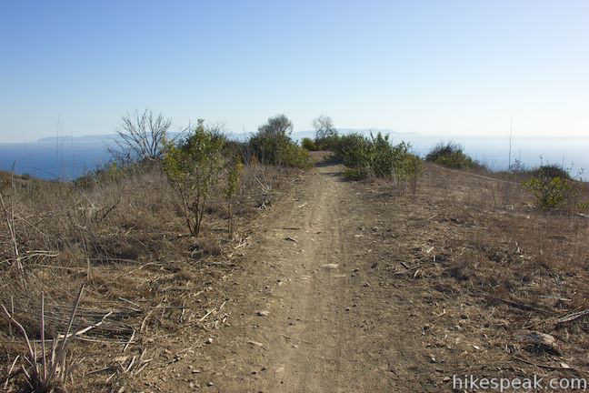
A sweeping overlook is just a short walk from the trailhead. To reach it, start from the park boundary at the end of Crenshaw Boulevard and begin hiking down Burma Road, a wide dirt trail that is the main corridor through the park.
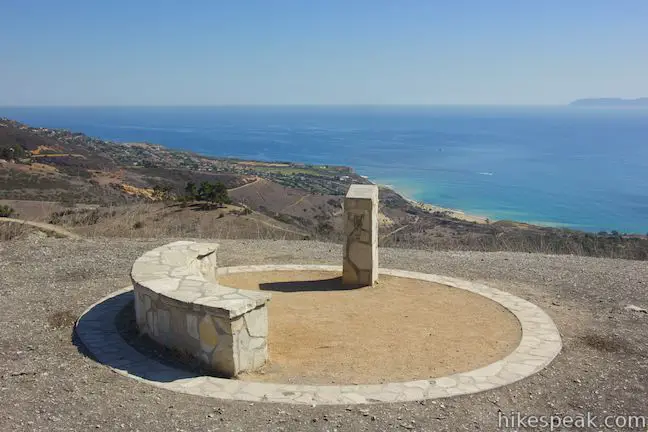
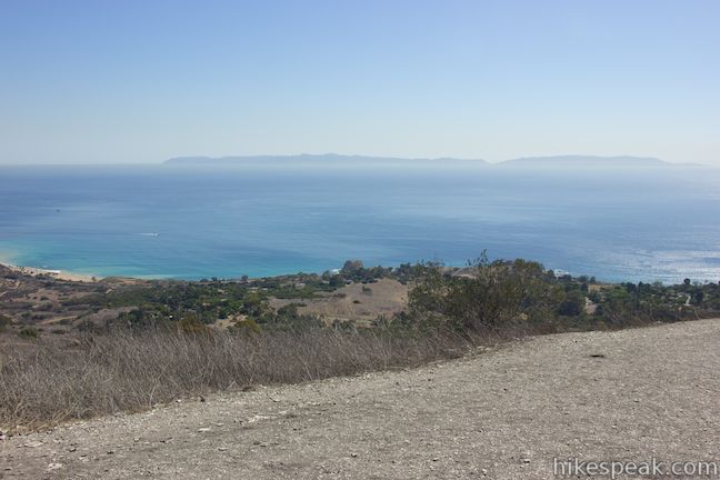
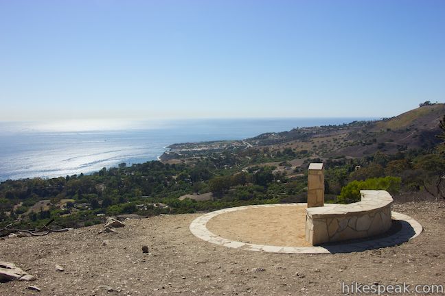
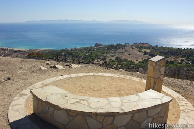
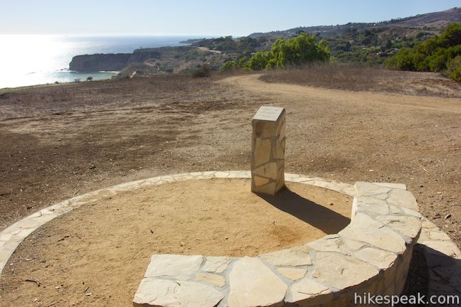
After a tenth of a mile, take the path breaking off to the left, which finds a landing with a crescent-shaped stone bench and a plaque honoring Dr. Ibrahim El-Hefni. This perch offers wide views up and down the coast of the Palos Verdes Peninsula and out over the ocean toward the long, blue silhouette of Catalina Island.
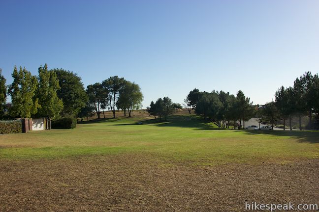
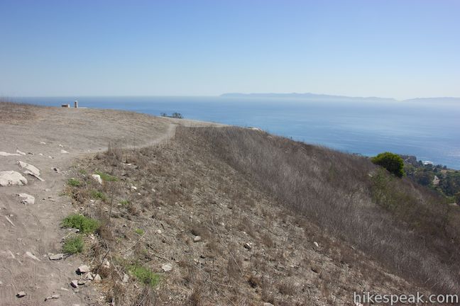
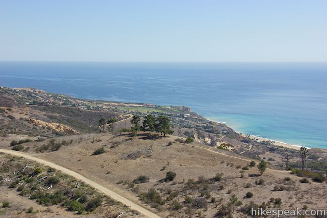
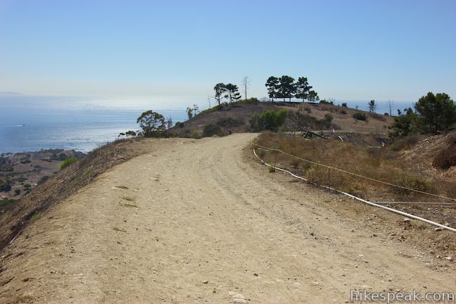
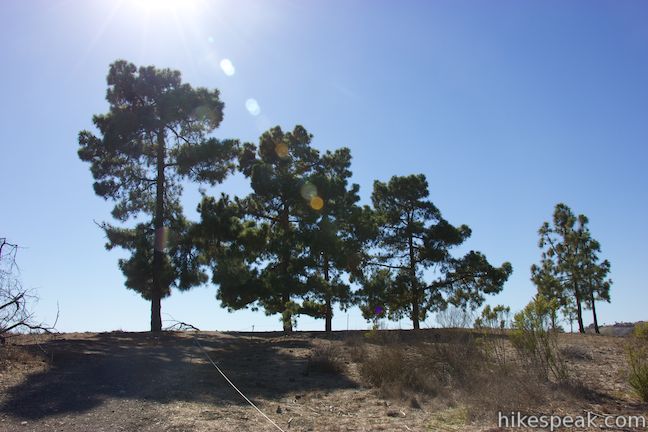
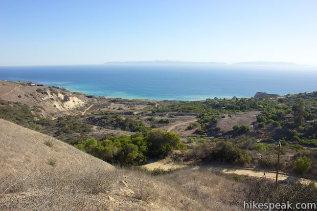
Leave the overlook and return to Burma Road, which continues downhill. Going around a bend to the right, 0.5 miles from the start, you will pass Ishibashi Trail, which heads off to the left. This trail is the second half of the upper loop. For now, continue down Burma Road. At the next junction, head up the ridge to the left on Eagle’s Nest Trail, which ascends to a line of tall pine trees. Next to the trees, reach Harman Overlook, 0.85 miles from the start, which has another stone bench where you can rest to admire the view.
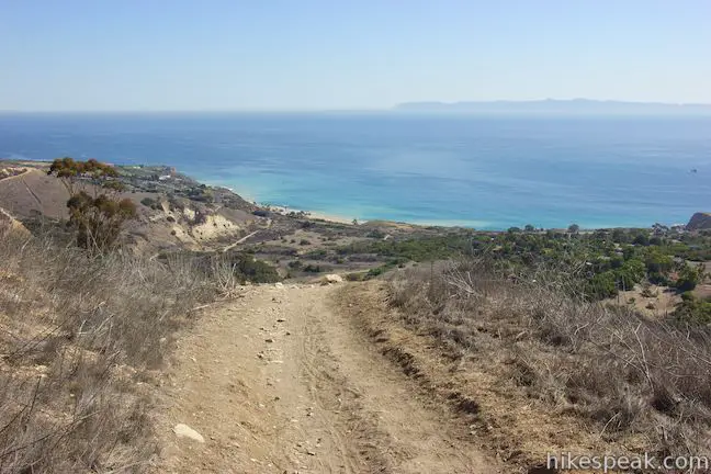
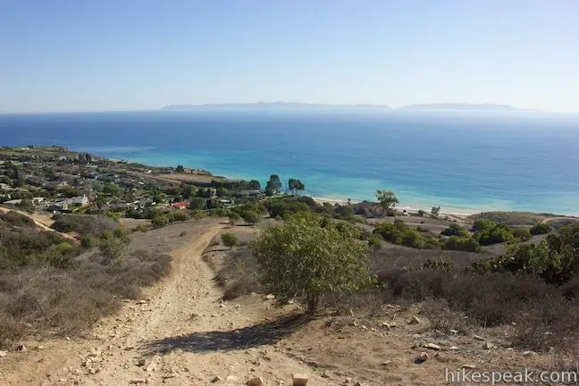
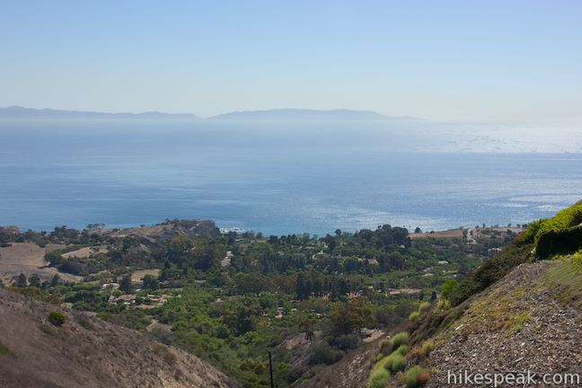
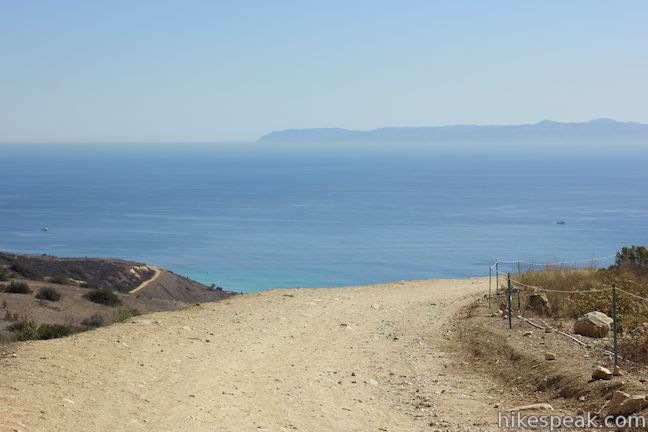
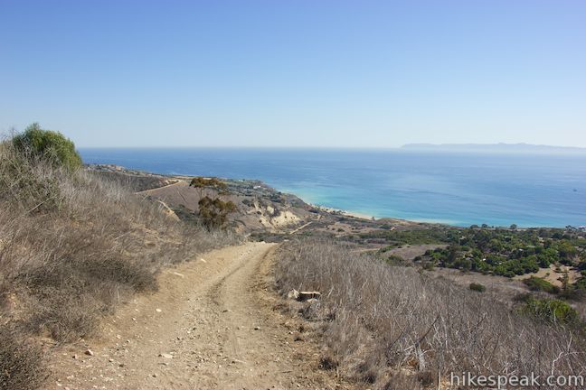
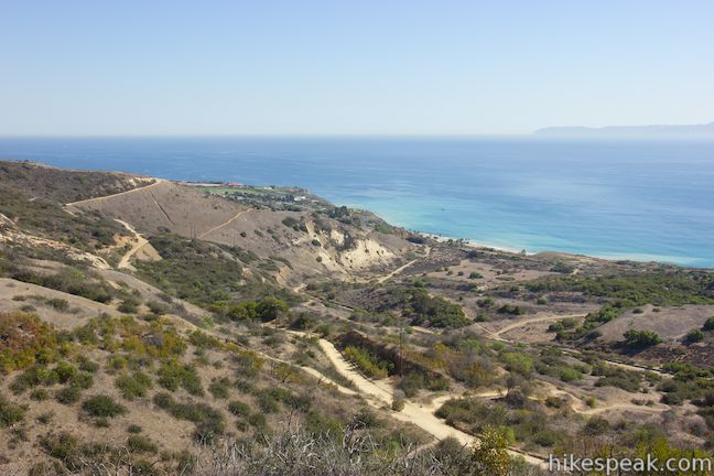
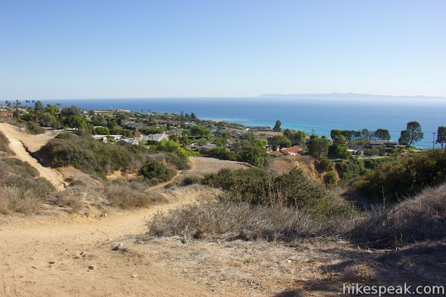
Continue down Eagle’s Nest Trail, bearing left through a junction with Ailor Trail that comes quickly after the overlook. You will descend the ridge below the overlook and can look right down the trail for great coastal views. At 1.25 miles from the start, Eagle’s Nest Trail comes to and end, taking you back to Burma Road, which took a wider curve to reach this point. Bear left and continue to descend.
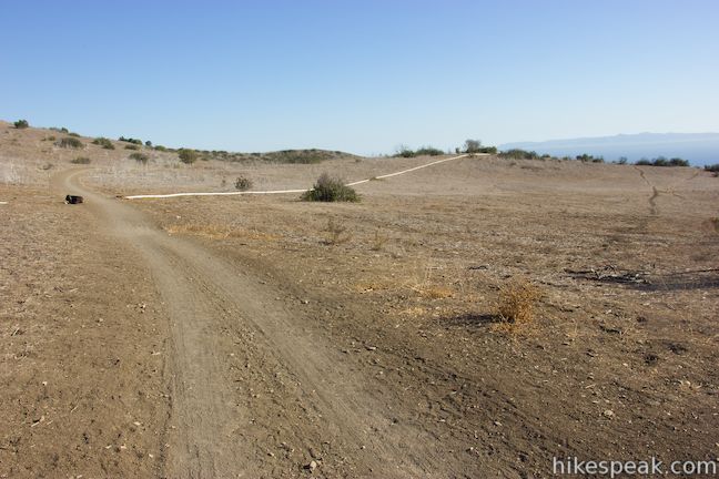
In another third of a mile, reach a pair of important junctions. The single-track Ishibashi Trail ascends to the left, and just after that, the single-track Toyon Trail descends to the right (all trail junction in Portuguese Bend Reserve are well marked). You can turn left up Ishibashi Trail for the three-mile single-loop hike, or save that loop for later and head closer to the coast down Toyon Trail.
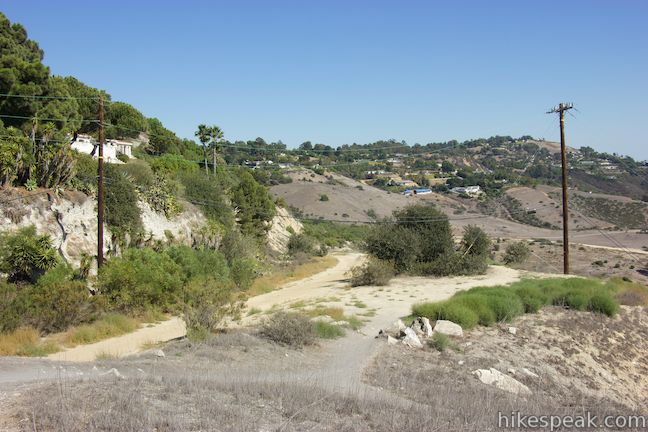
Toyon Trail passes through a few quick switchback and passes a junction with Garden Trail. After less than a quarter mile, the trail ends at a junction with Landslide Scarp Trail, which heads to the left. Stay to the right and proceed down Peppertree Trail. This trail will bring you down off the hillside onto a flat area near the coast. Continue down this wide dirt trail toward Palos Verdes Drive.
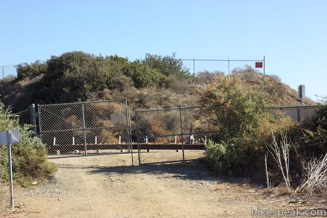
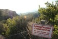
There is a fence at the bottom of this trail, located next to a gravel turnout along the busy road where parking is not permitted. The ocean is just below the bluffs on the other side of Palos Verdes Drive, but no crosswalk or obvious place to cross the road. Instead, start making your way back up into Portuguese Bend Reserve.
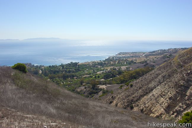
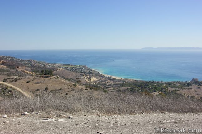
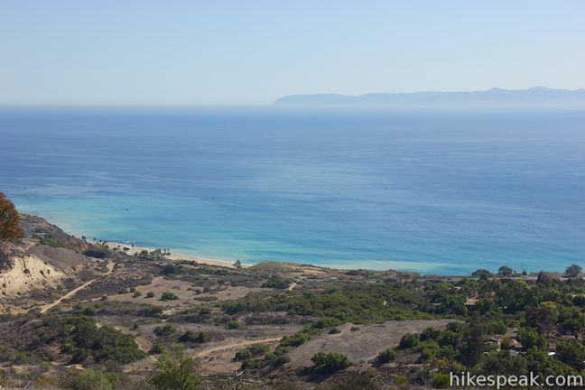
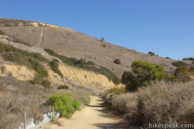
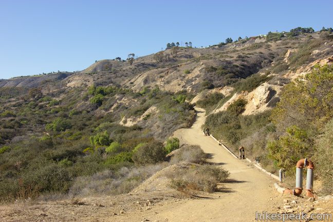
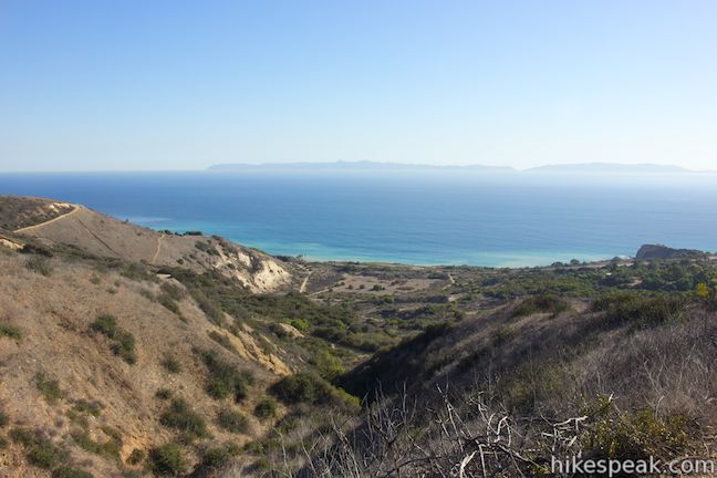
To the left of the fence, find the start of Klondike Canyon Trail. Take it and begin ascending toward a canyon at the southeast end of the reserve. After 0.2 miles on this trail and 2.8 miles from the start, reach another established vista point, Lundquist View. Continue up Klondike Canyon Trail, which splits briefly and then comes back together (it’s probably easiest to stay to the left through the split).
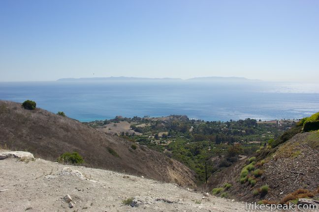
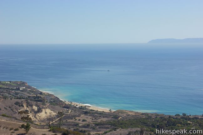
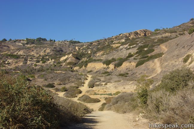
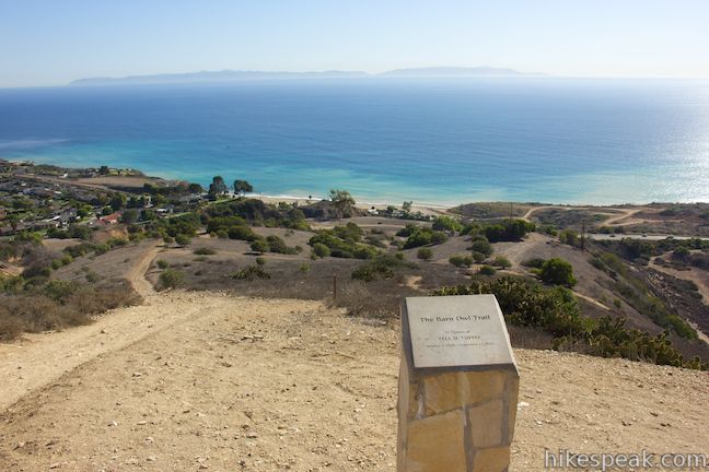
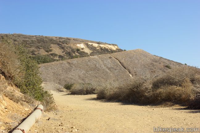
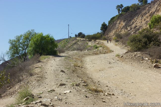
A couple trails in this area can be used to return to Burma Road. For a steep route that gets to another vista point, turn left at the next junction onto Barn Owl Trail. You will then reach a junction with Panorama Trail. If you want an easier ascent, bear left onto Panorama Trail to wrap around the ridge to Burma Road. Otherwise, bear right up Barn Owl Trail, which ascends a very steep slope with rewarding views over Klondike Canyon and the Pacific Ocean.
At the top of the climb (once you’ve caught your breath and enjoyed the views), turn left onto Burma Road. Burma Road descends at first, giving back most of the elevation you just gained. Pass a junction with the other end of Panorama Trail (probably the more sensible route), before Burma Road turns uphill and takes you back to the junctions with Toyon Trail and Ishibashi Trail.
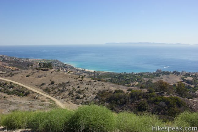
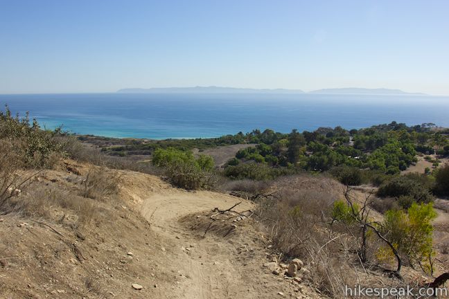
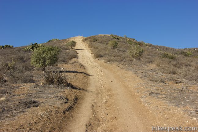
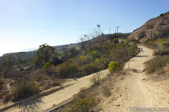
You have hiked 3.5 miles and completed the lower loop. Now turn right up Ishibashi Trail and close out the upper loop. This wide single-track ascends through grasses and low brush and has more nice views down over the park toward the ocean. The trail levels out past a few junctions and then finishes with an ascent to Burma Road. Close the top loop, 4.65 miles from the start, and bear right up Burma Road to walk back up to the trailhead. Just like when you started, this final ascent in scenic Portuguese Bend Reserve offers great ocean views.
In case you lost track of all of the trails this hike puts to use, here is a breakdown:
- The upper loop combines three trails, taking Burma Road to Eagle’s Nest Trail to Ishibashi Trail and back to Burma Road.
- The lower loop starts next to the bottom of Ishibashi Trail and descends Toyon Trail to Peppertree Trail to the low point of the park and then ascends Klondike Canyon Trail and Barn Owl Trail (or Panorama Trail) back to Burma Road Trail.
View the trails on the map below, or check out the official park map to see even more trails to explore in the reserve.
Dogs and horses are welcome and bikes are allowed on most trails in Portuguese Bend Reserve, including each trail on this route. Vehicle parking is free and no permit is required to hike in Portuguese Bend Reserve on Palos Verdes Peninsula, so get out and enjoy!
The basic directions for this multi-trail hike are:
- Hike into the park down Burma Road (0 miles)
- Make a slight right up a single-track to Dr. Ibrahim El-Hefni Vista Point (0.1 miles)
- Reach the El-Hefni Vista Point (0.15 miles)
- Return to Burma Road (0.25 miles)
- Pass the top of Ishibashi Trail on the left and begin the upper loop (0.5 miles)
- Turn left up Eagle’s Nest Trail, leaving Burma Road (0.75 miles)
- Reach Harman Overlook at the ridge crest (0.85 miles)
- Stay left past Ailor Trail (0.9 miles)
- Turn left on Burma Road, leaving Eagle’s Nest Trail (1.25 miles)
- Pass the bottom of Ishibashi Trail on the left to continue onto the lower loop (1.6 miles)
- Turn right down Toyon Trail to leave Burma Road and start the lower loop (1.6 miles)
- Stay left past Garden Trail (1.8 miles)
- Turn right down Peppertree Trail at the end of Toyon Trail at a junction with Landslide Scarp Trail (1.82 miles)
- Continue straight down this trail past a private road and two junctions with Ishibashi Farm Trail, all on the left
- Reach the fence at the end of the trail and turn left up Klondike Canyon Trail (2.6 miles)
- Pass Lundquist View (2.8 miles)
- Klondike Canyon Trail splits and then reunites, but stay to the left for the easiest route (2.85 miles)
- Turn left onto Barn Owl Trail (2.9 miles)
- Stay to the right past Panorama Trail (2.95 miles)
- Continue up Barn Owl Trail through an intersection with Klondike Canyon Trail (3 miles)
- Reach the top of Barn Owl Trail and turn left down Burma Road (3.1 miles)
- Stay on Burma Road past Panorama Trail (on the left), Rim Trail (on the right), and Landslide Scarp Trail (on the left)
- Close the lower loop and return to the junctions with Toyon Trail and Ishibashi Trail
- Turn right up Ishibashi Trail (3.75 miles)
- Stay on Ishibashi Trail past Paintbrush Trail, Rim Trail, and Grapevine Trail (all on the right)
- Reach the top of Ishibashi Trail and turn right up Burma Road (4.65 miles)
- Return to the trailhead at the top of the road (5.15 miles)
Directions to the Trailhead
- From Los Angeles take the 405 or 110 Freeway south to the 405-110 interchange near Carson.
- Continue south on the 110 Freeway for 4 miles to the exit for Pacific Coast Highway (CA-1).
- Head west on CA-1 toward Harbor City.
- Drive 3 miles and turn left onto Crenshaw Boulevard.
- Drive 3.9 miles to the trailhead at the end of Crenshaw Boulevard and park along the side of the road.
- The park entrance (Burma Road) is straight ahead at the end of Crenshaw Boulevard.
Trailhead address: Crenshaw Boulevard & Burrell Lane, Rancho Palos Verdes, CA 90275
Trailhead coordinates: 33.75765, -118.3673 (33° 44′ 15.50″N 118° 20′ 50.87″W)
View Portuguese Bend Reserve in a larger map
Or view a regional map of surrounding Los Angeles trails and campgrounds.


 | Quarry Loop This short loop in Forrestal Nature Reserve delivers lots of ocean views as it circles an old bowl-shaped quarry. |
 | Deane Dana Friendship Park This 1.1-mile loop circles a park with panoramic ocean views over the south end of the Palos Verdes Peninsula. |
 | White Point Nature Preserve This 1 to 2.5-mile hike explores an open space containing a military bunker built to defend the west coast during World War II. |
 | Seascape Trail This level family-friendly 1.5-mile hike explores scenic coastal bluffs north of the historic Point Vicente Lighthouse. |
 | Lunada Canyon Trail This short trail explores an overgrown canyon between two residential ridges inland of Lunada Bay. |
 | More trails in the Los Angeles Explore other destinations in the Santa Monica Mountains, San Gabriel Mountains, and elsewhere. |
Common Questions about Portuguese Bend Reserve on Palos Verdes Peninsula
- Is the trail open?
- Yes. You should expect to find that Portuegese Bend Reserve Double Loop is open. There are no recent reports of trail closures. If you discover that the trail is closed, please help your fellow hikers by reporting a closure.
- Is this trail free to access?
- Yes, Portuegese Bend Reserve Double Loop is free to access. No entrance fee, pass, or permit is required. If you discover that access rules have changed, please provide feedback on your experience.
- How much time does this hike take?
- It takes approximately 2 hours 45 minutes to hike Portuegese Bend Reserve Double Loop. Individual hiking times vary. Add extra time for breaks and taking in the views.
- How long is this hike?
- The hike to Portuegese Bend Reserve Double Loop is a 5.15 mile loop with 975 feet of elevation change.
- Are dogs allowed on this trail?
- Yes, dogs are allowed on Portuegese Bend Reserve Double Loop. The trail is open to hikers, dogs, bikes, horses.
- Are there ocean views on this hike?
- Yes, Portuegese Bend Reserve Double Loop offers views of the ocean.
- Where is the trailhead located?
- The trailhead for Portuegese Bend Reserve Double Loop is located in Rancho Palos Verdes, CA.
Trailhead Address:
Crenshaw Boulevard
Rancho Palos Verdes, CA 90275
Trailhead Coordinates:
33.75765, -118.3673 - What are the driving directions to the start of the hike?
- To get to the trailhead: From Los Angeles take the 405 or 110 Freeway south to the 405-110 interchange near Carson. Continue south on the 110 Freeway for 4 miles to the exit for Pacific Coast Highway (CA-1). Head west on CA-1 toward Harbor City. Drive 3 miles and turn left onto Crenshaw Boulevard. Drive 3.9 miles to the trailhead at the end of Crenshaw Boulevard and park along the side of the road. The park entrance (Burma Road) is straight ahead at the end of Crenshaw Boulevard.
View custom Google Maps directions from your current location. - Are there other trails near Portuegese Bend Reserve Double Loop?
- Yes, you can find other nearby hikes using the Hikespeak Hike Finder Map.

[…] for hike 10. Even though I’m from LA, I had never been to Palos Verdes, but read that there were several beautiful hikes along the peninsula. After grabbing extra-large water bottles and lathering on sunscreen, we put the top down and […]
I can never seem to find parking as the neighborhoods surrounding are all permit only. Any ideas?
what time does the park open