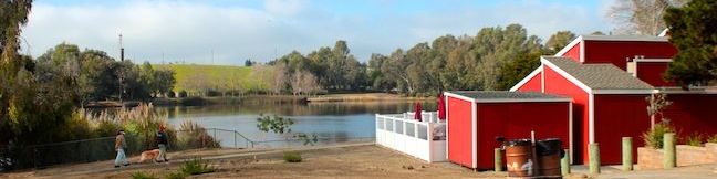
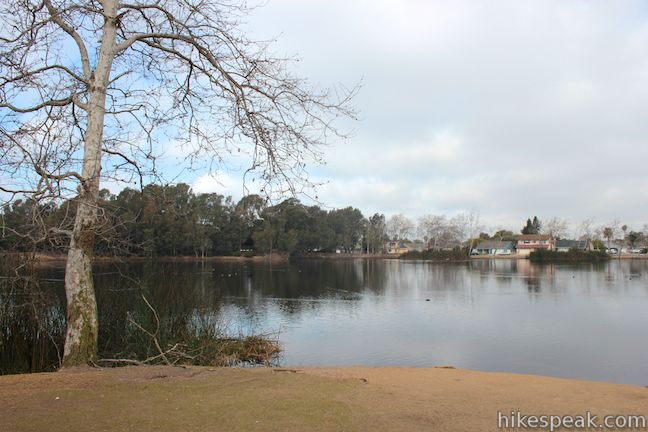
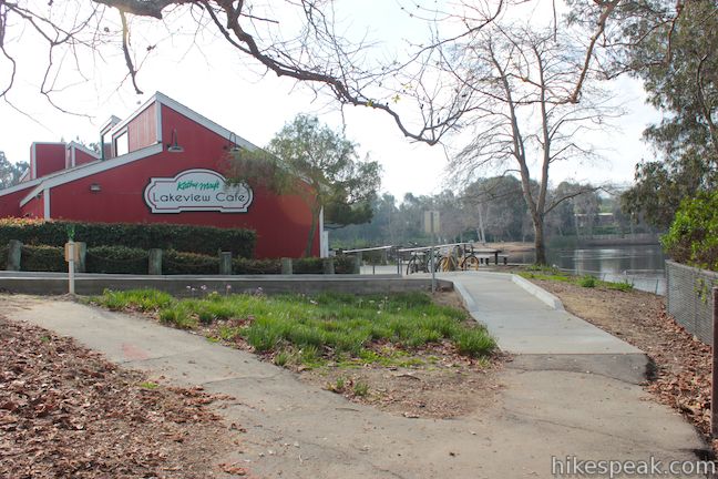
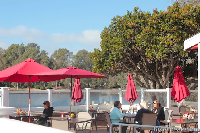
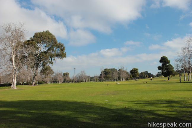
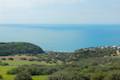
To describe this hike, you have to use a couple phrases that you wouldn’t normally associate with Orange County, Central Park and Lake Trail, but you will also use a few phrases that are quite fitting for Southern California, laid back and leisurely. Like the Big Apple, there is a Central Park in Huntington Beach (the Big Orange?) with over 350 acres of green space just a couple miles from the blue waters of the Pacific. Within the park lies Lake Huntington, which can be circled on a level and easy 3/4-mile loop. If you work up an appetite, sit down for a bite on the patio of Kathy May’s Lakeview Café, located inside the park on the shore of Lake Huntington.
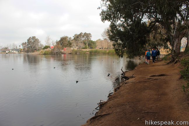
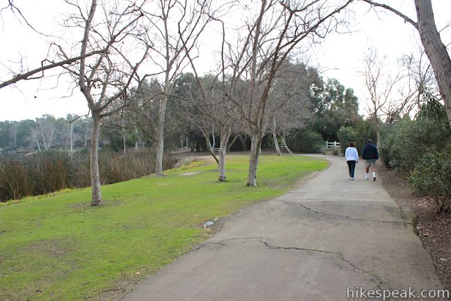
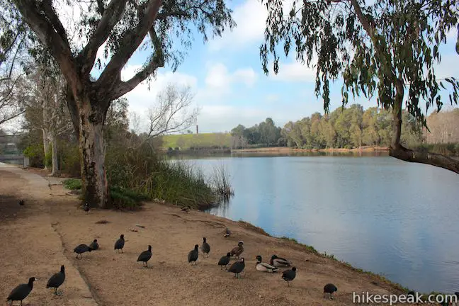
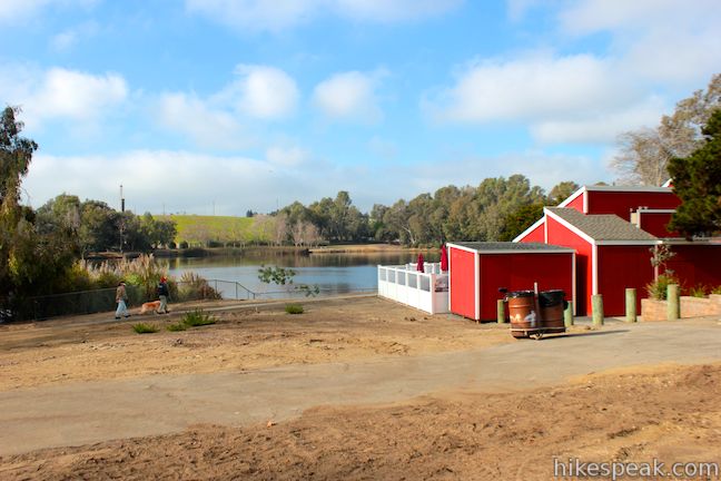
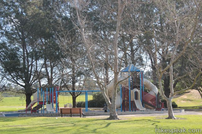
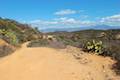
You can begin this loop from a number of places. Since all you do is follow the lake shore, the directions are pretty obvious. If you start from the large parking area at the end of Central Park Drive, you can begin and end alongside the Lakeview Café. Hiking in a clockwise direction, you will begin down a paved path toward the east side of the lake. North of the lake trail, you’ll spot a large field, picnic pavilion, and playground (some of the park’s many amenities). Turning south, you can follow a wide dirt trail along the east bank of Lake Huntington.
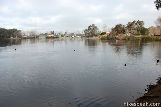
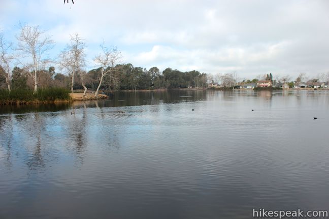
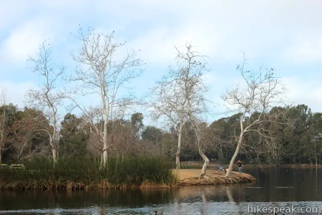
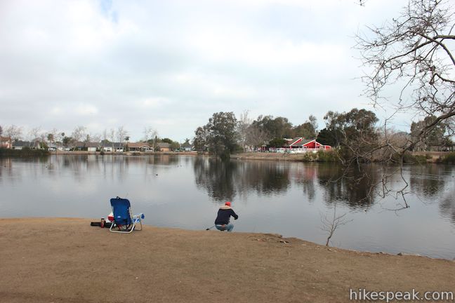
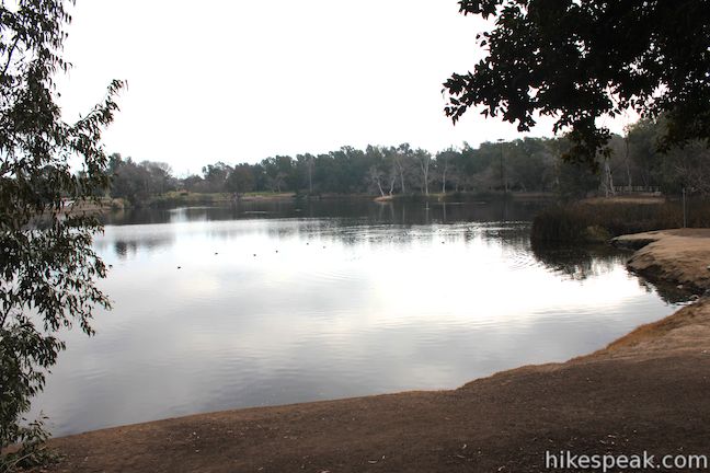
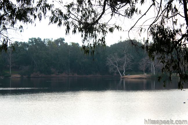
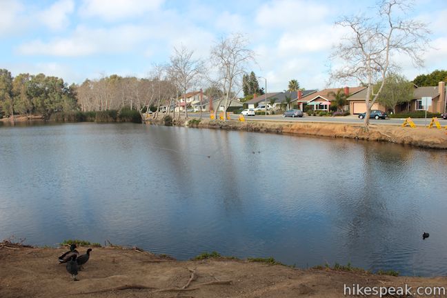
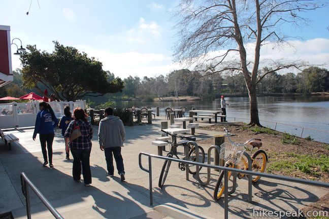
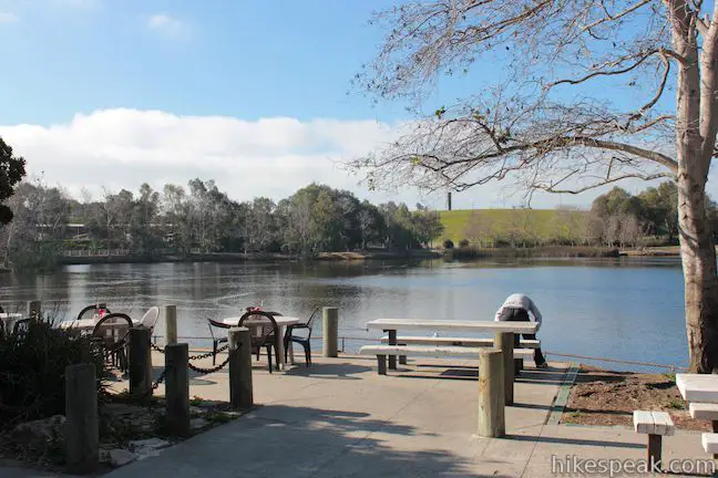
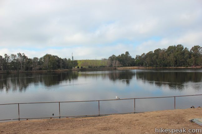
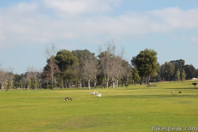
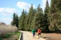
Return to pavement on a walking path along the south side of the lake. The trail buckles out to a point along the water’s edge where you can get a good panoramic view of the lake. This is a popular spot for fishing on Lake Huntington.
According to the City of Huntington Beach:
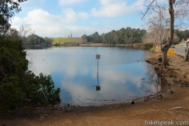
Fishing is permitted according to State Fish and Game Regulations, and anyone over age 16 is required to have a fishing license clearly visible. Fish species include: channel catfish, largemouth bass, bluegill, crappie, rainbow trout and carp. Channel catfish are stocked in the summer and rainbow trout are stocked in the winter. Catch and release is suggested for the bass. No boats or rafts are permitted on the lakes. However, model boats that operate by electricity, steam, or sail are permitted on Lake Huntington.
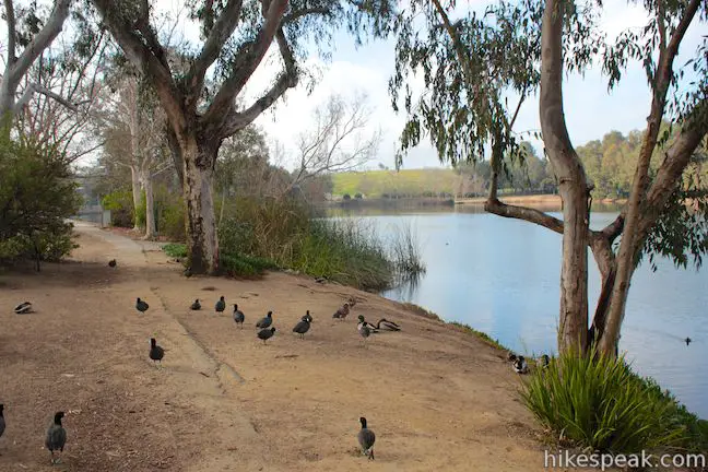
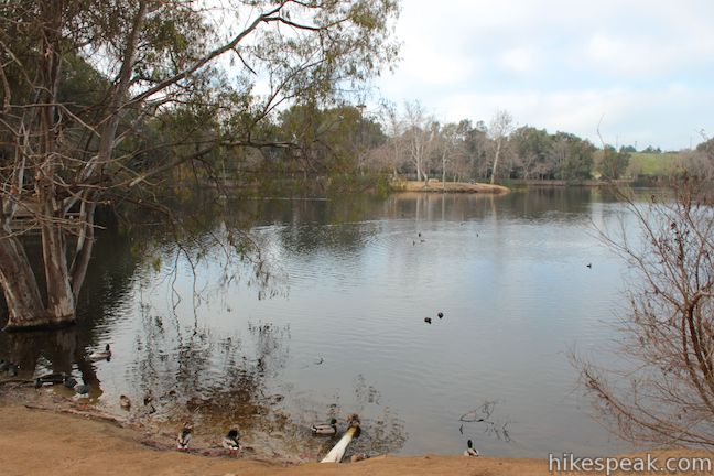
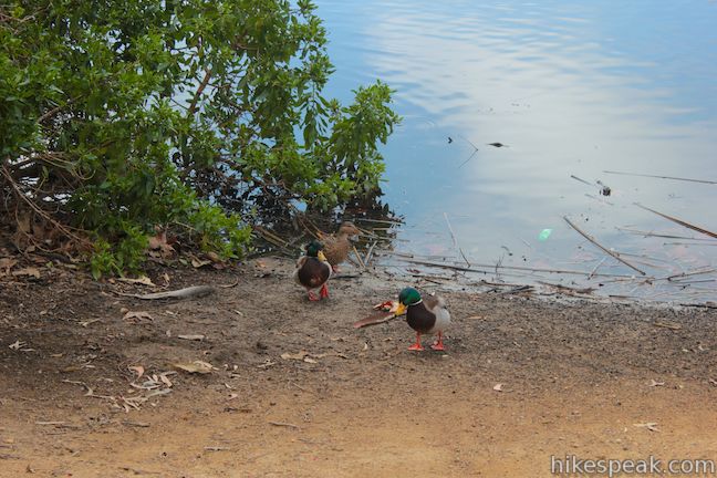
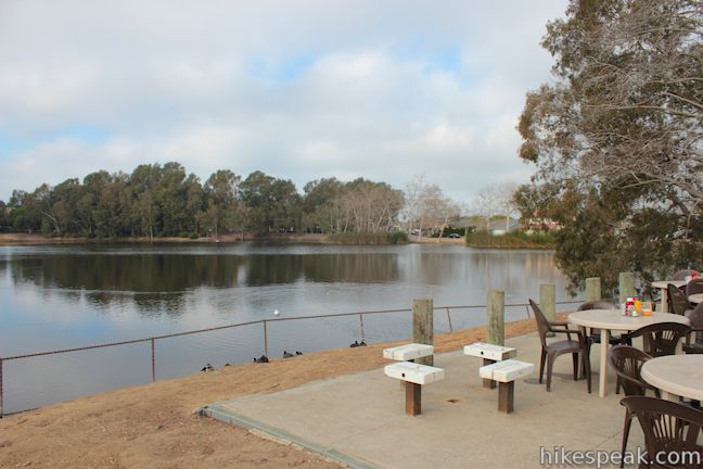
You might only see a handful of fisherman on Lake Huntington, but you will see hundreds of ducks! They are everywhere along the lake shore.
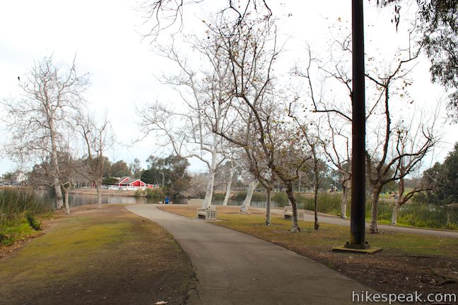
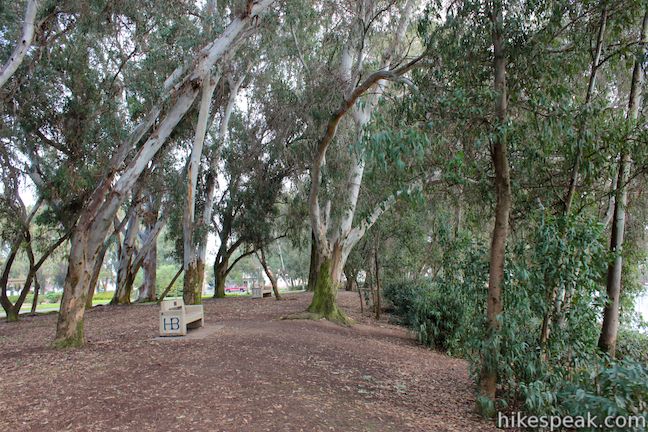
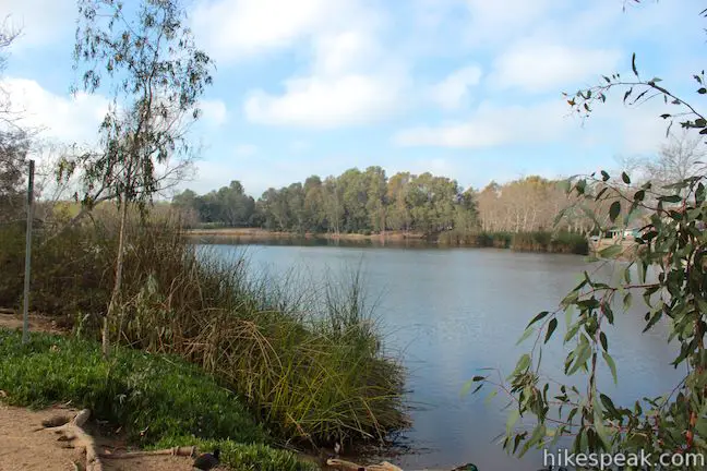
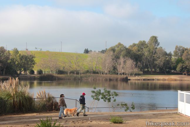
As you reach the west end of the lake, you can turn right and follow a dirt path beneath a cluster of eucalyptus trees lining the lake. Benches beneath the trees offer a nice pace to take a break. You can also follow the paved path as it circles behind these trees, passing a playground and another parking lot off Edwards Street.
By either route, you will reach the north side of the lake where the path becomes a sidewalk along Lakeview Drive. Stroll between the street and the lake back to the parking lot near the cafe. Famous for its BBQ, Kathy May’s Lakeview Cafe is open for breakfast, lunch, and “sunset dinner” (7 days a week from 7 a.m. to 9 p.m.).
According to the City of Huntington Beach, “Huntington Beach Central Park is the largest city-owned park in Orange County” and “home to the largest children’s library west of the Mississippi.” The park is free to enter and very dog friendly, so get out and enjoy!
Directions to the Trailhead
- Take the 405 freeway to exit 18 for Bosla Avenue.
- At the end of the off-ramp, turn west on Bosla Avenue and drive to Edwards Street, at the next major intersection.
- Turn left onto Edwards Street and drive 3 miles south to Central Park Drive.
- Turn left and drive a quarter mile to the park entrance at the end of the road.
Trailhead Location
Trailhead address: 6622 Lakeview Drive, Huntington Beach, CA 92648
Trailhead coordinates: 33.69929, -118.010354 (33° 41′ 57.44″N 118° 00′ 37.27″W)
You may also view a regional map of surrounding Southern California trails and campgrounds.


 | West Bluff Trail Loop This 2.5-mile loop combines trails above and below the West Bluff in Upper Newport Bay Nature Preserve to provide a variety of views across Upper Newport Bay. |
 | Geology Discovery Trail This 9-mile loop in Crystal Cove State Park follows guide markers exploring geology in the beautiful backcountry of this Orange County wilderness. |
 | Moro Beach This 2-mile round trip hike ventures down Moro Canyon to a picturesque beach in Crystal Cove State Park. |
 | Little Sycamore Canyon - Serrano Ridge - Camarillo Canyon - Stagecoach South Trails Loop This 5-mile loop uses four trails to explore two canyons and a ridge in Laguna Coast Wilderness Park. |
 | Lake View Loop & East Ridge Overlook This 3.65-mile loop expands on the 2.7-mile Lake View Loop with a small loop to the high point of Peters Canyon Regional Park. |
 | Redwood Grove in Carbon Canyon Regional Park This level 2.5-mile round trip hike visits a small grove of small coastal redwoods that is the largest grove of these large trees in Southern California. |
 | More hikes in Southern California Explore more trails in Orange, Riverside, San Bernardino, and San Diego counties. |
Common Questions about Lake Huntington in Huntington Beach Central Park
- Is the trail open?
- Yes. You should expect to find that Lake Huntington Loop is open. There are no recent reports of trail closures. If you discover that the trail is closed, please help your fellow hikers by reporting a closure.
- Is this trail free to access?
- Yes, Lake Huntington Loop is free to access. No entrance fee, pass, or permit is required. If you discover that access rules have changed, please provide feedback on your experience.
- How much time does this hike take?
- It takes approximately 15 minutes to hike Lake Huntington Loop. Individual hiking times vary. Add extra time for breaks and taking in the views.
- How long is this hike?
- The hike to Lake Huntington Loop is a 0.75 mile loop with 25 feet of elevation change.
- Are dogs allowed on this trail?
- Yes, dogs are allowed on Lake Huntington Loop. The trail is open to hikers, dogs.
- Is Lake Huntington Loop good for kids?
- Yes, this hike is likely suitable for children. It is relatively short (0.75 miles) with manageable elevation gain.
- Is there a lake on this hike?
- Yes, Lake Huntington Loop visits a lake.
- Where is the trailhead located?
- The trailhead for Lake Huntington Loop is located in Huntington Beach, CA.
Trailhead Address:
6622 Lakeview Drive
Huntington Beach, CA 92648
Trailhead Coordinates:
33.69929, -118.010354 - What are the driving directions to the start of the hike?
To get to the trailhead: Take the 405 freeway to exit 18 for Bosla Avenue. At the end of the off-ramp, turn west on Bosla Avenue and drive to Edwards Street, at the next major intersection. Turn left onto Edwards Street and drive 3 miles south to Central Park Drive. Turn left and drive a quarter mile to the park entrance at the end of the road.
View custom Google Maps directions from your current location.
- Are there other trails near Lake Huntington Loop?
- Yes, you can find other nearby hikes using the Hikespeak Hike Finder Map.

This is more like a leisurely stroll. No “hiking” is involved here. Great park though. Check out the other side as well, across Goldenwest St. near the Central Library for nice duck ponds and running routes.
How is this lake fed? How did it come to be? Where does the water drain to? It appears to have plenty of water.
How deep is lake huntington
When was Huntington Lake and park built?