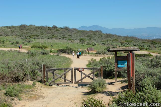
Crystal Cove State Park is one of Orange County’s finest places to enjoy the outdoors. The park preserves 3.2 miles of coastline between Laguna Beach and Corona del Mar and 2,400 acres of backcountry wilderness (bordering Laguna Coast Wilderness Park). An excellent way to explore the coastal canyons and ridges in the backcountry of Crystal Cove State Park is to set out on Geology Discovery Trail, a 9-mile loop incorporating a few trails to highlight the park’s rocky past. This loop, one of many may possible backcountry routes, follows 14 numbered markers that coincide with entries in a trail guide. There is 900 feet of elevation between the high and low points of the hike, which you will tackle about twice on a course up and over the scenic canyons and ridges.
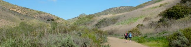
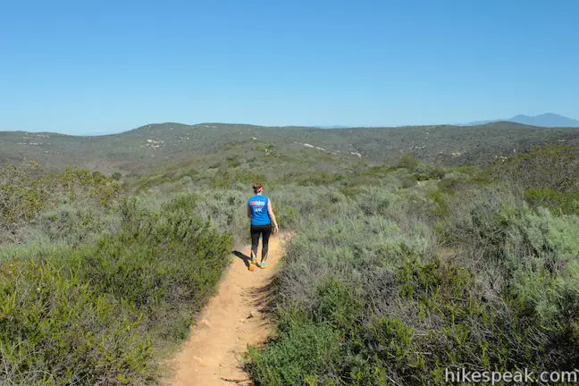
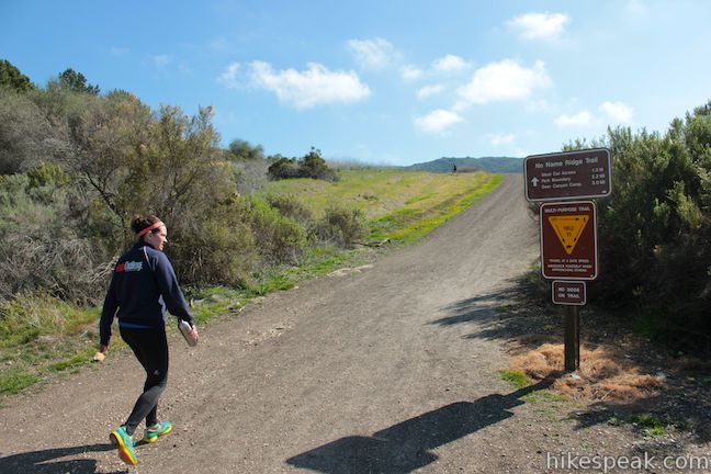
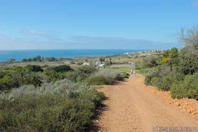
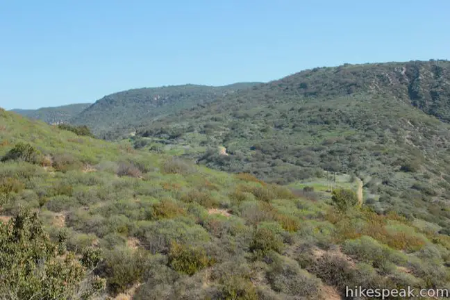
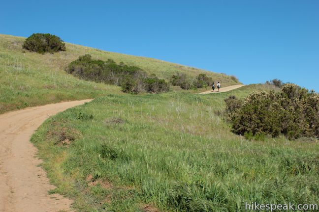
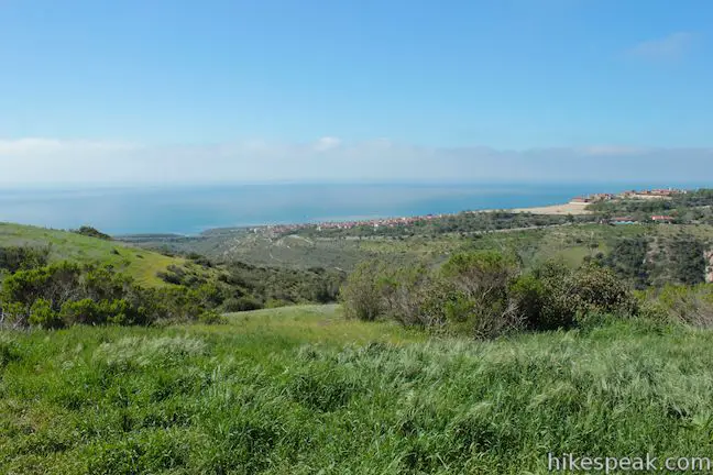
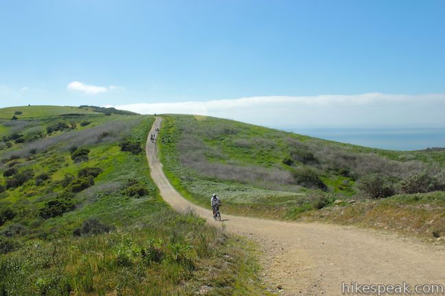
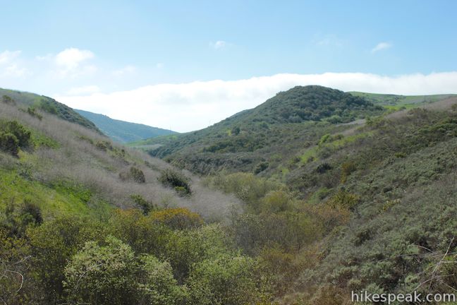
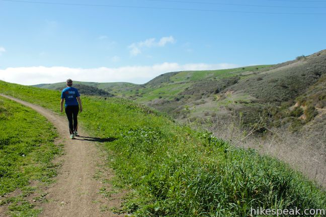
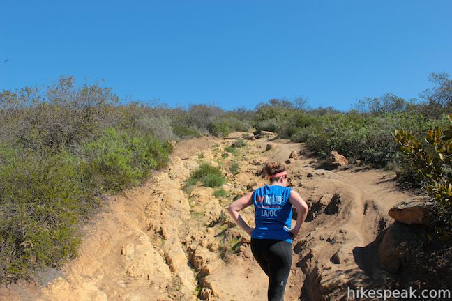
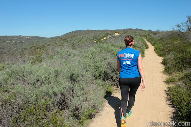
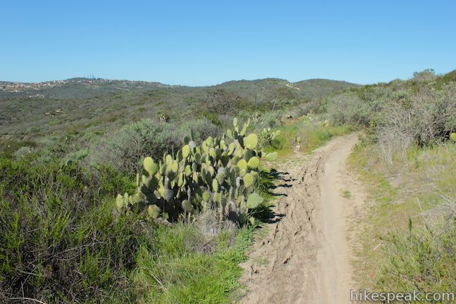
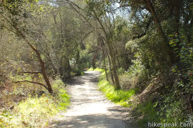
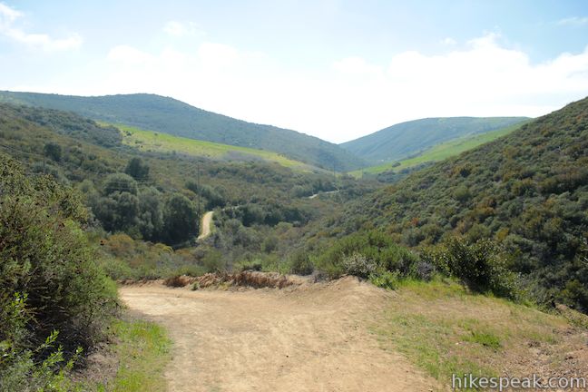
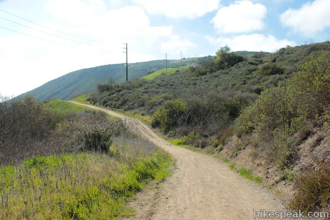
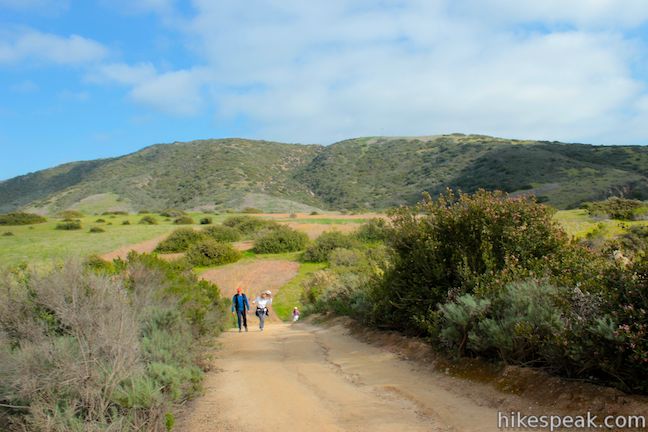
The Geology Discovery Trail loop makes use of several trails is Crystal Cove State Park: No Name Ridge Trail, West Cut Across Trail, Rattlesnake Trail, Fenceline Trail, Slow ‘N Easy Trail, and Moro Canyon Road. The first step is to begin hiking north from the El Moro Visitor Center up No Name Ridge Trail, which appears on some maps as No Dogs Trail. The ascent begins immediately. One benefit of this fast start is that you rise quickly to broad ocean views. From a bend about 1/3 of a mile up the wide dirt trail, you’ll get a picturesque perspective over the bottom of Moro Canyon, where the grassy trough meets the Pacific Ocean.
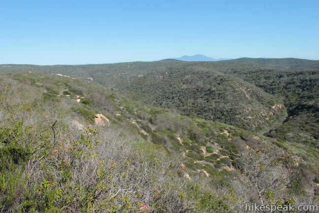
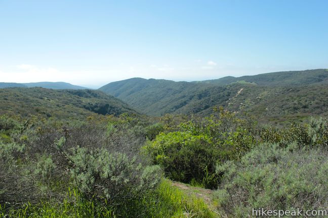
Continuing up No Name Ridge Trail, you will get a great view southwest over Moro Canyon. This verdant wilderness has been spared from the development that struck the surrounding canyons and ridges. After 0.75 miles, No Name Ridge Trail comes to a junction with Poles Trail (all junctions within the park are marked by a large trail map and a “you are here” pointer). Stay to the left up No Name Ridge Trail.
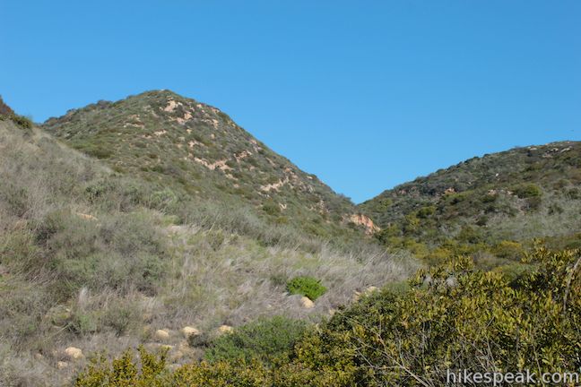
Geology break: When you need an excuse to catch your breath, take a look at the Geology Discovery Trail guide, which describes and depicts the layers of rock that have built up in the park over the last 25 million years. Exposed in the formations along the park’s ridges are rocks that were formed by sediments settling in layers on the floor of the Pacific (the Vaqueros Formation and the Topanga Formation). Magma cut through these rocks 12 to 15 million years ago, followed by uplift along fault lines that gradually created the varied landscape that you see today (there is more detail in the guide).
Looking out over Moro Canyon, you may notice how geology influences biology. As the guide describes:
Notice the abrupt vegetation changes on the hillsides. In many places you see boundaries between coastal sage scrub (commonly on the Vaqueros Formation) and grass (commonly on San Onofre Breccia). Since rocks differ in their mineral content, porosity, and resistance to erosion, biological species with varying needs live on different rocks. Vegetation also differs where landslides occur: the coastal sage scrub is uprooted and temporarily replaced by rapidly-growing grasses.
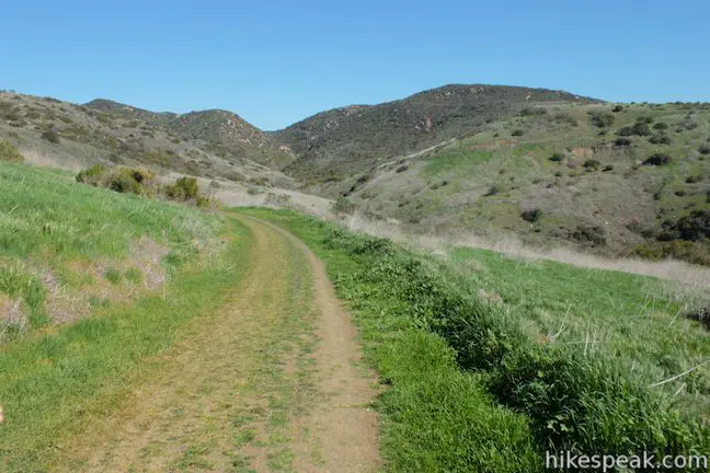
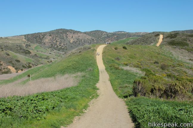
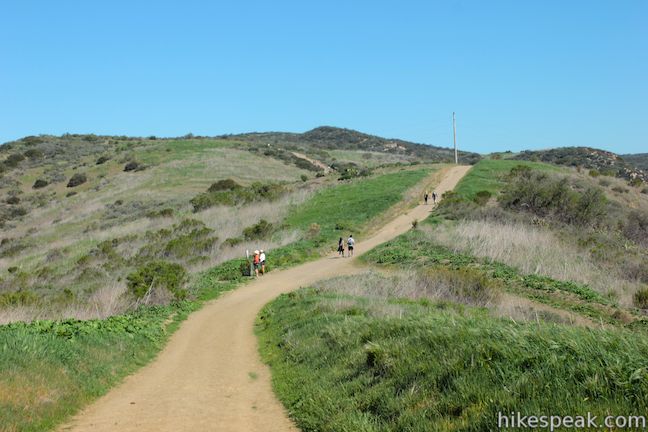
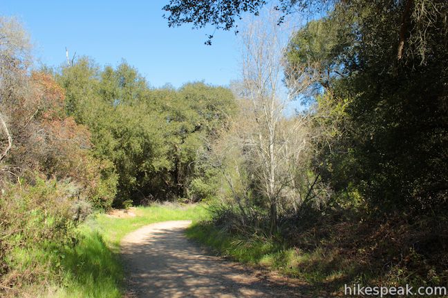
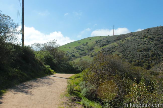
No Name Ridge Trail tapers out as the wide dirt trail bends left toward new views over another canyon to the northwest, Muddy Canyon. Hike a rolling course along the top of the scenic ridge, coming to a junction with West Cut Across Trail after gaining 425 over the first 1.45 miles.
To follow the Geology Discovery Trail, turn right down West Cut Across Trail. For a much shorter hike, you could descend West Cut Across Trail all the way down to Moro Canyon Road and circle back to the start (approximately 3.5 miles). Otherwise, after just 0.2 miles, turn left at the first junction onto Rattlesnake Trail.
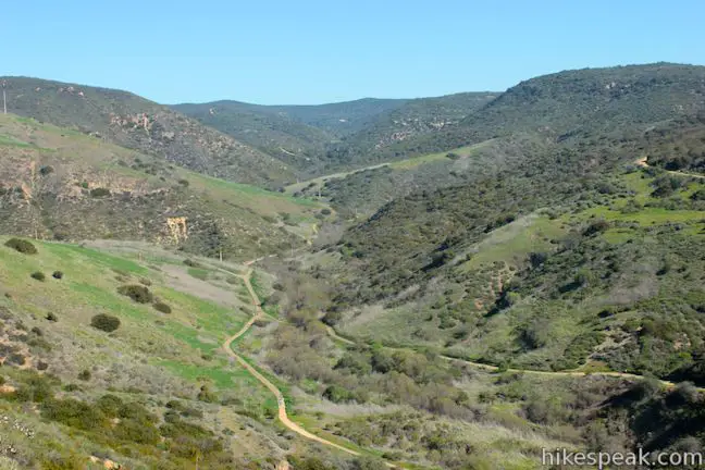
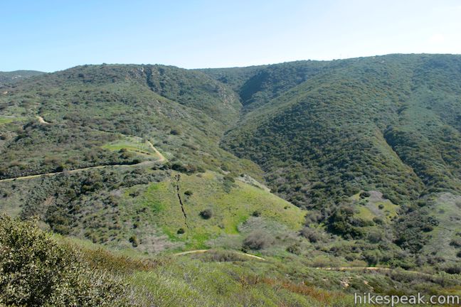
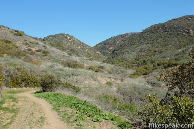
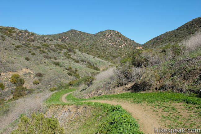
Head north on Rattlesnake Trail up a canyon parallel to No Name Ridge Trail. Rattlesnake Trail gradually descends into the narrowing canyon lined by brush and boulders. The trail makes a horseshoe bend and ascends the south wall of the canyon. Reach the top of the dirt road after regaining 225 feet in a quarter mile (2.35 miles from the start) and take in a panoramic perspective of Crystal Cove State Park from a ridge above a fork in Moro Canyon.
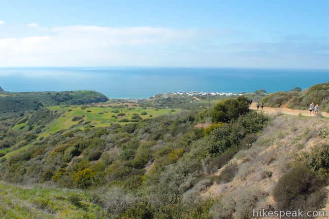
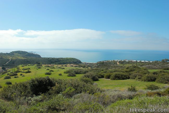
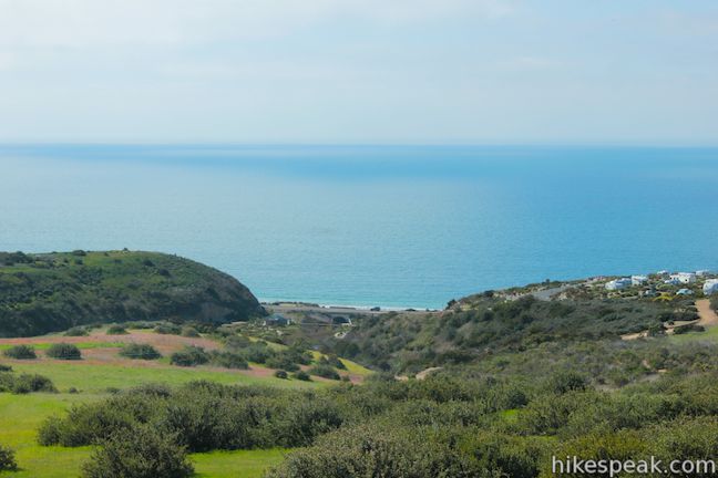
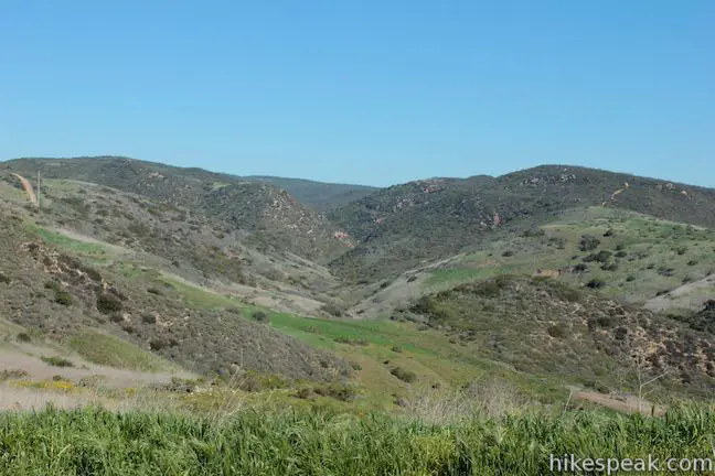
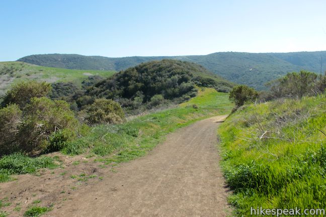
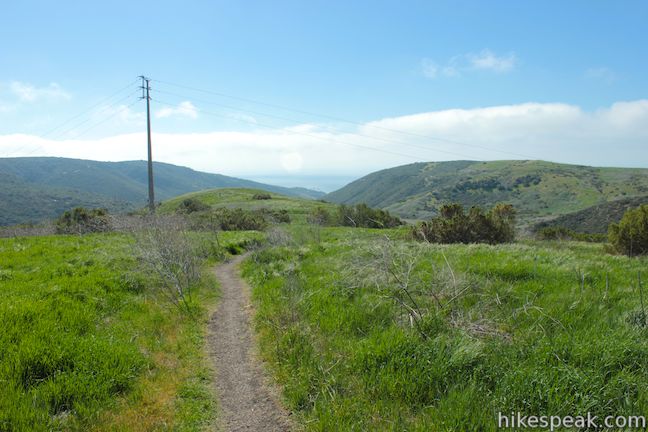
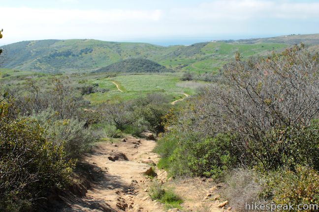
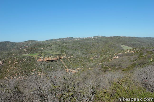
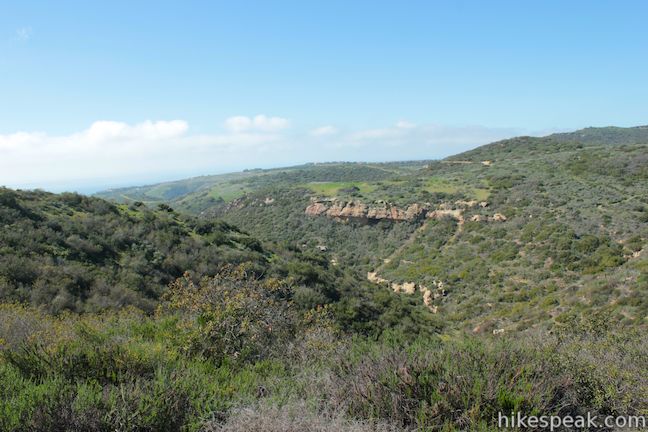
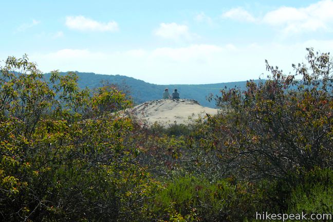
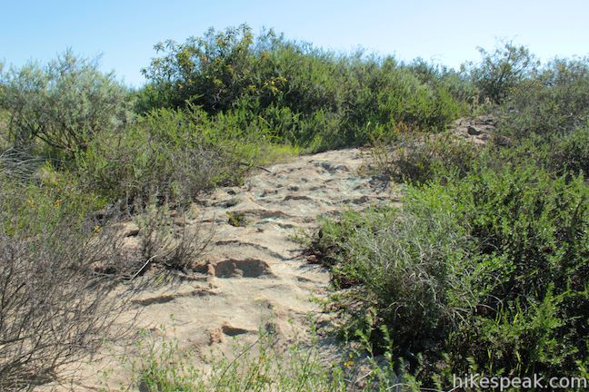
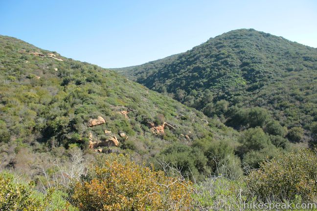
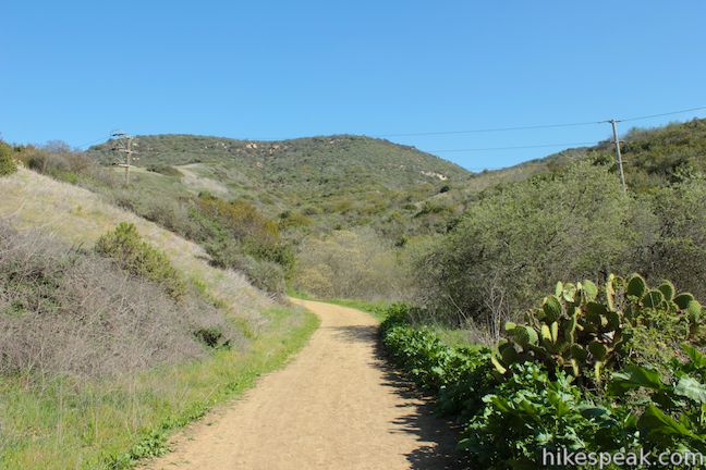
Turn left up a single track crossing the top of the ridge. You will discover great over-the-shoulder views down Moro Canyon as the trail continues to climb. Make your way up a rocky slope to a crest on the ridge that leads to a gradual section of the hike with broad views. Down the canyon to the northwest, you’ll spot an interesting sandstone outcropping that looks like a shelf on the wall of the canyon. There are several formations like this within the surrounding coastal canyons. You can look over the other side of the ridge toward the beautiful canyon to the southeast, as the Santa Ana Mountains pop up above the ridges to the northeast.
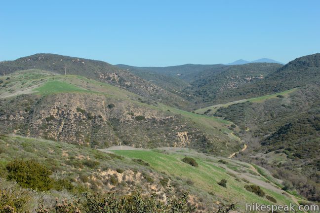
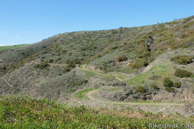
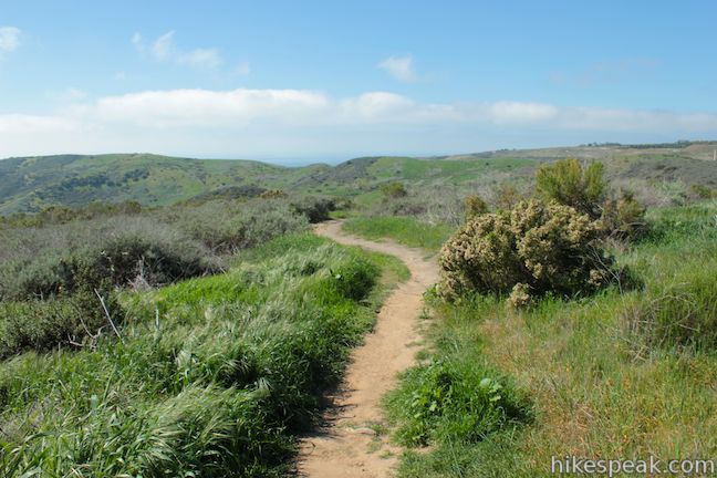
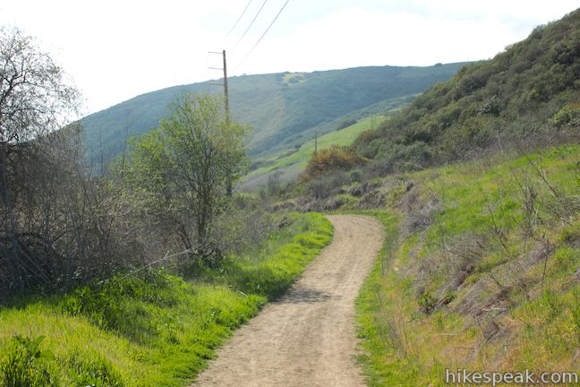
At 3.75 miles from the start, you will pass through a junction with Red Tail Ridge Road, which descends to the left toward Deep Canyon Campground, a trail camp in Crystal Cove State Park. Continue straight up the ridge, where you will meet a pronounced park boundary. The 73 Tollway can be seen cutting across the “backcountry” to the north beyond a T-junction with Bommer Ridge Road. Just before the junction, and 4.15 miles from the start, turn right onto Fenceline Trail, a single track that presents better views back over the canyons as it travels northeast for less than half a mile to a junction with Slow ‘N Easy Trail.
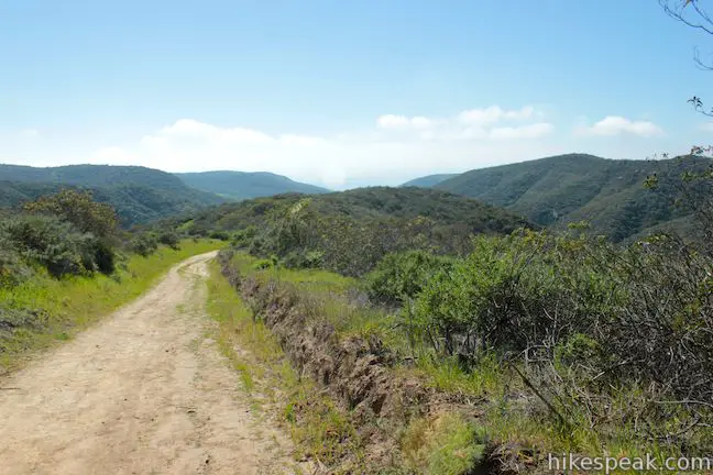
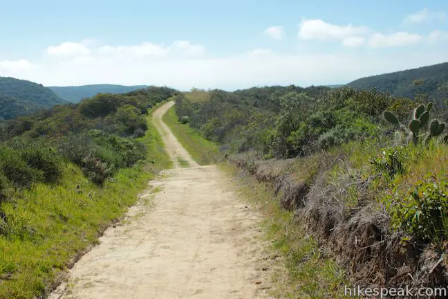
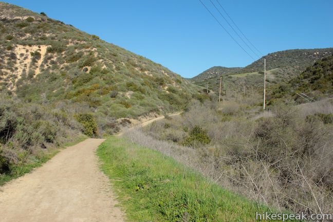
Turn right down Slow ‘N Easy Trail, a wide dirt road that descends past a state park boundary sign and another junction along the spine of a round ridge above Moro Canyon. Enjoy sweeping views as the trail crosses a bump in the ridge and continues down to a junction with Moro Canyon Road, 5.85 miles from the start.
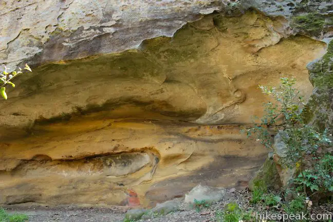
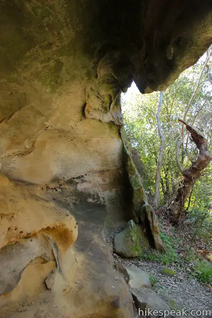
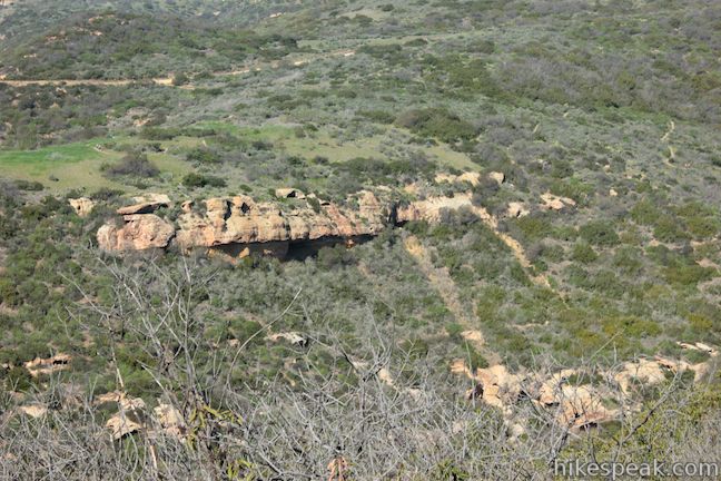
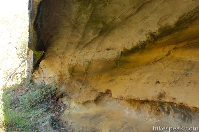
Turn right and head down the canyon beneath a thin strip of trees. After 0.35 miles, and 6.2 miles from the start, the trail passes marker 12 on the left. Step off the trail and step beneath a large overhand in the Topanga formation. The Geology Discover Trail guide describes this as a Large Cave:
In this large cave within the Bommer Member of the Topanga Formation, migrating underwater sand dunes formed cross beds (herring bone pattern) seen on the back wall. The rock of the cave was originally deposited as loose sand and gravel on the sea floor. Look for layers with rounded pebbles, which mark times of strong currents on the ocean bottom.
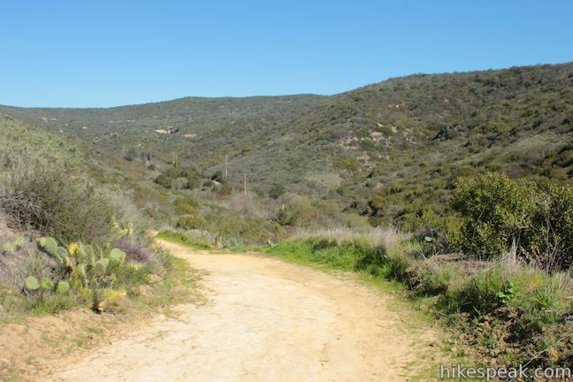
Continuing down the canyon, you will pass through a junction with the bottom of West Cut Across Trail and Poles Trail, 7.35 miles from the start. Stay straight again through the next junction, where East Cut Across Trail breaks off up the other side of the canyon.
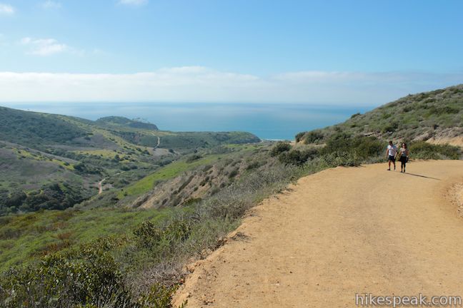
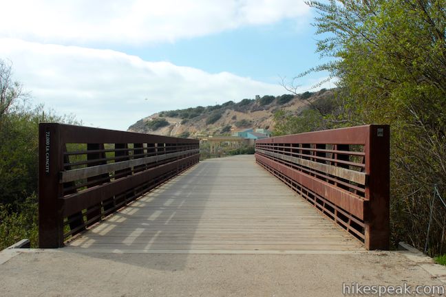
Continue a relaxing hike down Moro Canyon Road for another mile. As you approach the bottom of the canyon, stay straight through a junction with Moro Ridge Trail, which breaks off to the left. You will quickly arrive at a bridge crossing Moro Creek. A trail on the left continues down the canyon to Moro Beach (0.4 miles away). To complete the loop, cross the bridge toward the Moro Canyon Day Use Area and stay to the right, ascending Moro Canyon Road back to the trailhead. There are views over the bottom of the canyon toward the Pacific Ocean.
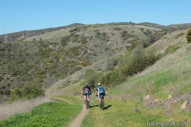
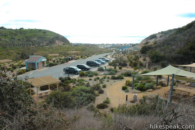
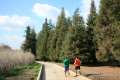
Half a mile from the bridge, Moro Canyon Road comes to an end just below the El Moro Visitor Center. Turn right up the paved road to return to the trailhead parking area. Mountain bikes are allowed on this loop and other trails in the backcountry of Crystal Cove State Park. Dogs are not permitted on park trails. There is a state park day use fee for all vehicle left at the trailhead, but no permit is required to hike the Geology Discovery Trail in Crystal Cove State Park, so get out and enjoy!
Directions to the Trailhead
- There are a few different entrances and parking areas for Crystal Cove State Park along PCH.
- To reach the El Moro Visitor Center with parking for the backcountry trails, take PCH 1.8 miles south of Newport Canyon Road and 2.8 miles north of Laguna Canyon Road to an intersection next to El Morro School (there will be a traffic light).
- Turn inland, driving past the school.
- Turn right.
- Then turn left following signs for the visitor center.
- No Name Ridge Trail begins from the north end of the parking lot.
Trailhead Location
Trailhead address: 8471 North Coast Highway, Laguna Beach, CA 92651
Trailhead coordinates: 33.56638, -117.821616 (33° 33′ 58.96″N 117° 49′ 17.81″W)
You may also view a regional map of surrounding Southern California trails and campgrounds.


 | Moro Beach This 2-mile round trip hike ventures down Moro Canyon to a picturesque beach in Crystal Cove State Park. |
 | Little Sycamore Canyon - Serrano Ridge - Camarillo Canyon - Stagecoach South Trails Loop This 5-mile loop uses four trails to explore two canyons and a ridge in Laguna Coast Wilderness Park. |
 | West Bluff Trail Loop This 2.5-mile loop combines trails above and below the West Bluff in Upper Newport Bay Nature Preserve to provide a variety of views across Upper Newport Bay. |
 | Lake Huntington This level and easy 3/4-mile loop circles a small lake in Huntington Beach Central Park. |
 | Lake View Loop & East Ridge Overlook This 3.65-mile loop expands on the 2.7-mile Lake View Loop with a small loop to the high point of Peters Canyon Regional Park. |
 | Redwood Grove in Carbon Canyon Regional Park This level 2.5-mile round trip hike visits a small grove of small coastal redwoods that is the largest grove of these large trees in Southern California. |
 | More hikes in Southern California Explore more trails in Orange, Riverside, San Bernardino, and San Diego counties. |
A PDF of the guide for the Geology Discovery Trail
The blue route on socalhiker.net
Another similar backcountry loop on abhiking.blogspot.com
El Moro Canyon Loop in Afoot and Afield Orange County by Jerry Schad
El Moro Canyon Loop in 101 Hikes in Southern California by Jerry Schad
El Moro Canyon on caopenspace.org
A park brochure for Crystal Cove State Park
Common Questions about Geology Discovery Trail (Backcountry Loop) in Crystal Cove State Park
- Is the trail open?
- Yes. You should expect to find that Geology Discovery Trail (Backcountry Loop) is open. There are no recent reports of trail closures. If you discover that the trail is closed, please help your fellow hikers by reporting a closure.
- Do I need a permit for this hike?
- Yes. State Park Entrance Fee.
- How much time does this hike take?
- It takes approximately 4 hours 15 minutes to hike Geology Discovery Trail (Backcountry Loop). Individual hiking times vary. Add extra time for breaks and taking in the views.
- How long is this hike?
- The hike to Geology Discovery Trail (Backcountry Loop) is a 9 mile loop with 900 feet of elevation change.
- Are dogs allowed on this trail?
- No, dogs are likely not allowed on Geology Discovery Trail (Backcountry Loop). The trail is primarily open to hikers, bikes.
- Is Geology Discovery Trail (Backcountry Loop) a difficult hike?
- This hike should be considered strenuous. Hikers should be prepared for a workout covering 9 miles and 900 feet of climbing.
- Are there ocean views on this hike?
- Yes, Geology Discovery Trail (Backcountry Loop) offers views of the ocean.
- Are there caves on this hike?
- Yes, Geology Discovery Trail (Backcountry Loop) features caves to explore.
- Where is the trailhead located?
- The trailhead for Geology Discovery Trail (Backcountry Loop) is located in Laguna Beach, CA.
Trailhead Address:
8471 North Coast Highway
Laguna Beach, CA 92651
Trailhead Coordinates:
33.56638, -117.821616 - What are the driving directions to the start of the hike?
To get to the trailhead: There are a few different entrances and parking areas for Crystal Cove State Park along PCH. To reach the El Moro Visitor Center with parking for the backcountry trails, take PCH 1.8 miles south of Newport Canyon Road and 2.8 miles north of Laguna Canyon Road to an intersection next to El Morro School (there will be a traffic light). Turn inland, driving past the school. Turn right. Then turn left following signs for the visitor center. No Name Ridge Trail begins from the north end of the parking lot.
View custom Google Maps directions from your current location.
- Are there other trails near Geology Discovery Trail (Backcountry Loop)?
- Yes, you can find other nearby hikes using the Hikespeak Hike Finder Map.

Thanks for the link, Seth. Crystal Cove is one of my favorite places to hike in Orange County. Most people think of the beach side of PCH when they think of Crystal Cove, not realizing that there is a LOT of interesting wilderness on the east side.
The first time I discovered this was with some mountain biking friends (yes, the trails are shared with bikers). They turned me on to a little trick they use to save a few bucks (parking requires a pass or a fee. You can park on the street at the end of Ridge Park Road in Newport Coast for free, and hike in from the “top” of the park.
No one will think of such an opportunity when driving by. Stop and enjoy this beauty! Have done half of it and have to go again to complete the large loop! The other side near the beach is easy and may be appealing to family.
I live in Laguna and would love to learn the hikes. One thing I cannot do is go down any steep-ish stretch, especially with dry loose dirt, gravel or something very narrow. How gentle are the downhills on this trail? What is the terrain like? Thanks
Hi – There are definitely steep and rocky parts but some of the park is easier to get through.