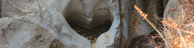
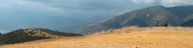
Hikes in Riverside County

Riverside County covers over 7,000 square miles, stretching east from Orange County all the way to the California border with Arizona. The Santa Ana Mountains form a natural border with Orange County on the west side of Riverside County. The highest point in Riverside County is San Jacinto Peak, towering over the San Jacinto Mountains as it rises to 10,834 feet. ... Read more.
Heart Rock in the San Bernardino Mountains
How is it possible? How is it possible that a perfectly heart-shaped hole could form in the rock wall flanking Seeley Creek Falls? This amazing formation does exist and can be reached via a short, relatively easy one-mile round trip hike in the San Bernardino Mountains near the town of Crestline. The dirt trail to Heart Rock descends 200 feet, following Seeley Creek on a gradual northward descent through a mountain forest of black oaks and Jeffrey pines. ...Read more.
Distance: 1.4 miles · Elevation change: 200 feet
By: Published: November 28, 2012 Last updated: December 5, 2025
Marshall Peak in the San Bernardino Mountains
The San Bernardino Mountains are a rugged east-west running mountain range in San Bernardino County east of the San Gabriel Mountains. While the range tops out at the 11,500-foot summit of San Gorgonio Mountain, you can find great panoramic view from a 4,000-foot peak that is much easier to reach. Marshall Peak rises above the foothills of the mighty San Bernardino Mountains and is just a short trip from cities in the San Bernardino Valley. ...Read more.
Distance: 3.25 miles · Elevation change: 375 feet
By: Published: November 28, 2012 Last updated: May 1, 2026