Upper Natural Bridge Trail Coyote Creek Natural Bridges of Calaveras County swimming hole tunnel hike Vallecito California
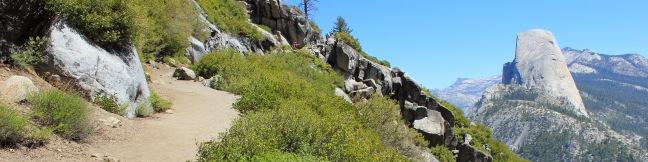
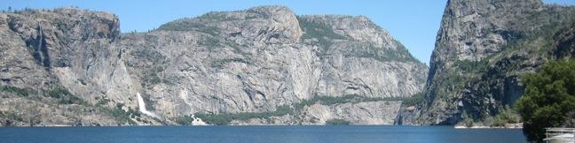
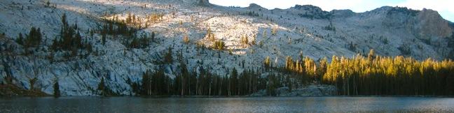
The Sierra Nevada Mountains hold many wonders. Some are famous worldwide, like the silken waterfalls in Yosemite National Park and the giant trees in Sequoia National Park. Others, like the Natural Bridges in Calaveras County, are only famous with locals. These no-less-amazing limestone tunnels make a charming destination for a short hike in the Sierra foothills (and an enthralling summer... Read more.
OK! Add to trails I’ve hiked
OK! Add to trails I want to hike
Tagged with · Creeks · Free Trails · Natural Bridges
Distance: 2 miles · Elevation change: 300 feet
By: Published: Last updated: January 9, 2018
Panorama Trail Yosemite National Park
Panorama Trail is a nearly 10-mile long point-to-point hike from the top to the bottom of Yosemite Valley. Starting at Glacier Point and ending at Happy Isles, the trail descends 3,200 feet and is filled with sensational views. You could not pick a more panoramic start for Panorama Trail than Glacier Point, a spectacular drive-up overlook atop the south wall of Yosemite Valley. The trail... Read more.
OK! Add to trails I’ve hiked
OK! Add to trails I want to hike
Tagged with · John Muir Trail · National Parks · Waterfalls · Yosemite Valley
Distance: 10 miles · Elevation change: 3200 feet
By: Published: Last updated: May 19, 2024
Hetch Hetchy Reservoir hike Wapama Falls Rancharia Tueeulala Waterfall Kolana Rock Yosemite National Park Trail
In the northwest corner of Yosemite National Park is a valley that John Muir described as “a wonderfully exact counterpart of the great Yosemite.” Since Muir's time, Hetch Hetchy Valley has changed. It was dammed in 1923 and a large blue reservoir now covers the valley. Muir opposed the dam, and fellow conservationists lost a long battle to preserve the valley. An effort... Read more.
OK! Add to trails I’ve hiked
OK! Add to trails I want to hike
Tagged with · Backpacking · Lakes · National Parks · Waterfalls
Distance: 5 miles · Elevation change: 200 feet
By: Published: Last updated: January 30, 2018
May Lake hike Yosemite National Park Trail
May Lake is a high elevation lake off Tioga Road in Yosemite National Park north of Yosemite Valley. This 2.4-mile hike with 475 feet of elevation gain is a perfect outing for summer and early fall when the road and trail are free of snow. Stroll along a wide trail through a lovely pine forest. As you near the lake, gradually ascend a granite floor with sparser tree cover. When you... Read more.
OK! Add to trails I’ve hiked
OK! Add to trails I want to hike
Tagged with · Lakes · National Parks
Distance: 2.4 miles · Elevation change: 475 feet
By: Published: Last updated: August 14, 2021
Half Dome hike Yosemite National Park John Muir Trail Half Dome Trail
It might be half a dome, but it's a full day's hike - 16 miles round trip from Yosemite Valley with 4,800 feet of elevation gain. Is Yosemite's much heralded bucket-list hike worth all the hoopla? You bet it is. Half Dome is an iconic element of the Yosemite landscape and the trail to its summit is a one of a kind. The hike up Half Dome is a major challenge (and a major reward). ... Read more.
OK! Add to trails I’ve hiked
OK! Add to trails I want to hike
Tagged with · Backpacking · John Muir Trail · National Parks · Summits · Waterfalls · Yosemite Valley
Distance: 16 miles · Elevation change: 4800 feet
By: Published: Last updated: September 9, 2019