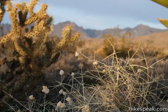
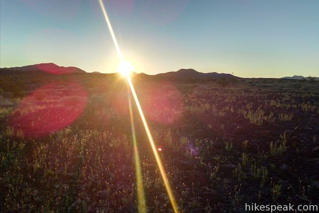
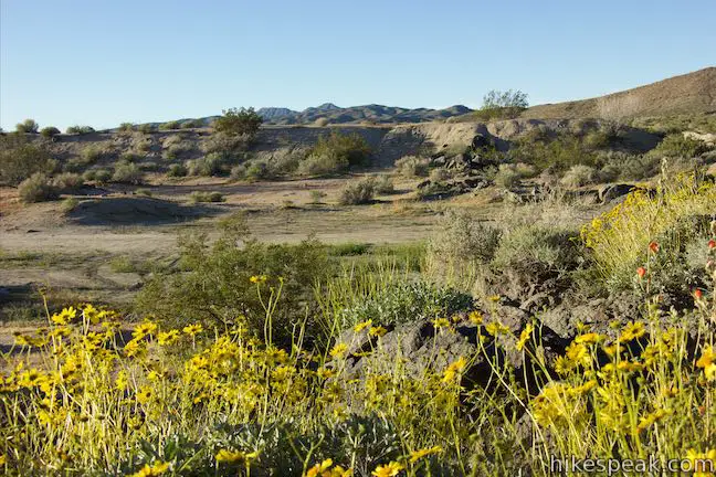
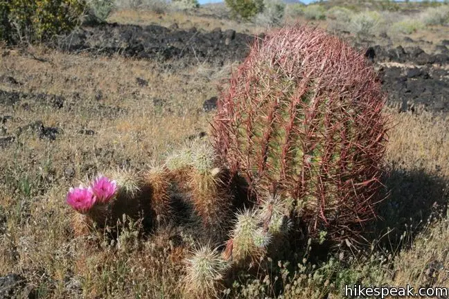
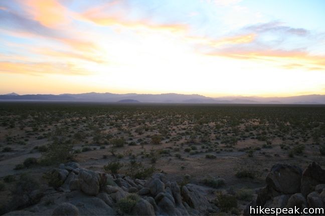
Being a preserve, Mojave National Preserve lacks a few of the facilities you would find in Joshua Tree or Death Valley, but this absence creates the opportunity for a more intimate visit with the desert.
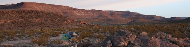
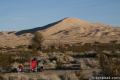
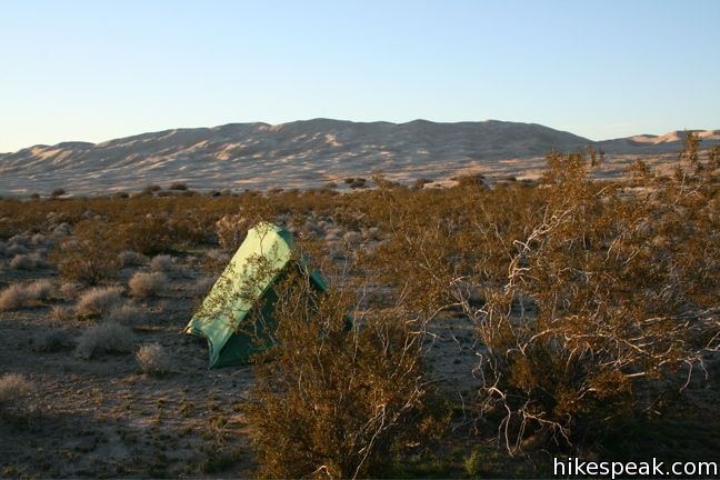
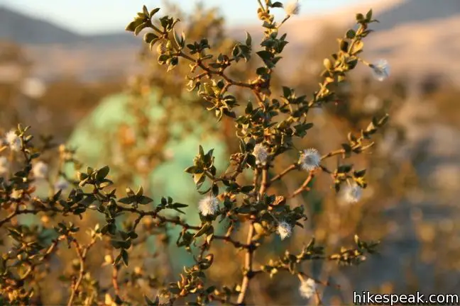
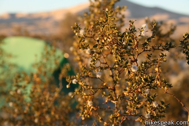
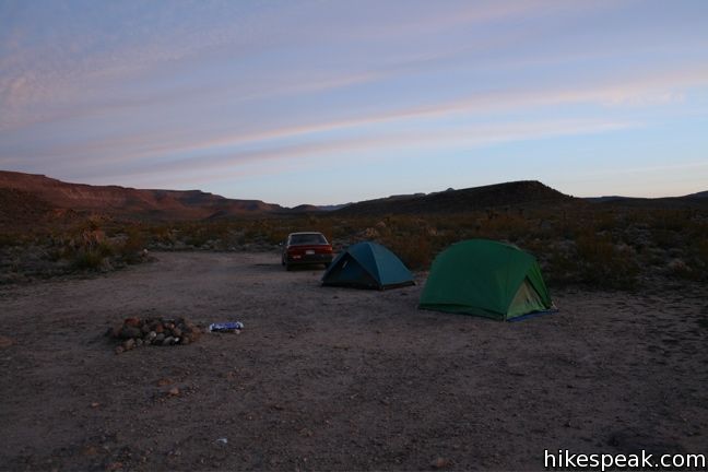
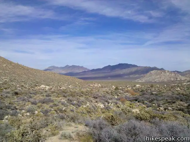
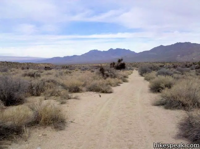
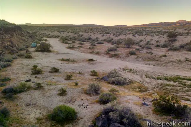
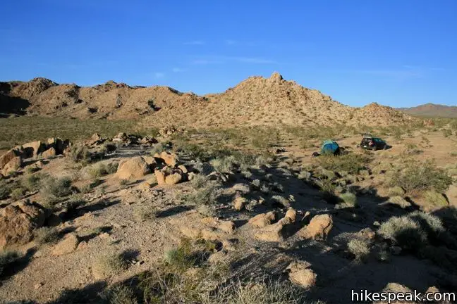
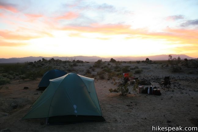
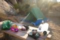
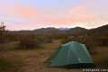
For the traditionalists (those who like camping near a bathroom), Mojave National Preserve has a couple standard campgrounds. For more adventurous campers, Mojave offers a unique experience akin to wilderness car camping. Roadside camping is permitted in areas that are “traditionally used for this purpose” which means, if you turn down a dirt road and see a fire ring and a spot to put up a tent, you can camp there! This option offers you immediate access to your vehicle while you enjoy the seclusion of wilderness camping. A large roadside camping area is located near the Kelso Dunes, and perhaps hundreds of other single sites are spread throughout Mojave National Preserve’s 1.6 million acres.
These “sites” are both listed and unlisted so ask a ranger for recommendations. All roadside camping is free. The map below show the location of the maintained campgrounds and also a few of the roadside camping options.
Campgrounds in Mojave National Preserve
Hole-in-the-Wall Campground | 37 sites | first-come first-serve | $12 per night | potable water, picnic tables, fire rings, and pit toilets | elevation 4,400 feet
Mid Hills Campground | 26 sites | first-come first-serve | $12 per night | potable water, picnic tables, fire rings, and pit toilets | elevation 5,600 feet
Providence Mountains State Recreation Area | 6 sites | first-come first-serve | $12 per night | potable water, picnic tables, fire rings, and flush toilets | elevation 4,300
The location of each campground can be viewed on the map below:
Or view California Desert trails and campgrounds in a larger map
Hikes in Mojave National Preserve
| Trail | Description | Distance | Location |
|---|---|---|---|
 380 380 | Teutonia Peak This out and back hike crosses the world's densest Joshua tree forest, passing an abandoned silver mine to reach a rocky summit with views of Cima Dome. | 3.4 - 4 miles 700 feet | 35.31625, -115.5525 |
 390 390 | New York Peak This out and back hike summits the highest point of the New York Range in the northeast corner of the preserve. | 7 - 9 miles 2400 feet | 35.27675, -115.2518 |
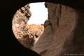
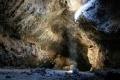 400 400 | Lava Tube This short out and back hike drops underground into an old lava tube lit by holes in the surface. | 0.6 miles 150 feet | 35.21378, -115.7532 |
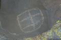 410 410 | Petroglyphs near Seventeen Mile Point This faint path visits ancient engravings in the volcanic rock at the western rim of the cinder fields just off Kelbaker Road. | 0.25 miles 25 feet | 35.205572, -115.872077 |
 417 417 | Rock Spring Loop Trail This loop visits a rare desert spring, a Rock House built in the 1920s, a miners' mill site, and an old U.S. Army post on a short and scenic circuit. | 1.33 miles 100 feet | 35.15502, -115.3348 |
 420 420 | Hole-in-the-Wall Rings Trail This loop takes visitors through a landscape of pocketed rocks. Ringbolts allow fun passage through narrow canyons. | 0.5 - 1.5 miles 150 feet | 35.0440, -115.3980 |
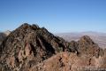 430 430 | Fountain Peak This off trail trek summits a peak with commanding views over the Providence Mountains. | 5 miles 2700 feet | 34.9432, -115.51268 |
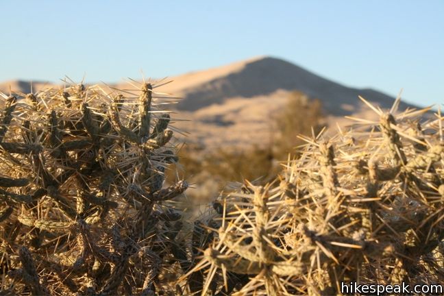
 440 440 | Kelso Dunes This out and back hike climbs the highest point in this 45 square mile dune field. | 3 miles 470 feet | 34.89235, -115.69906 |
 450 450 | Silver Peak This out and back hike summits a 6,365-foot peak in the Granite Mountains. | 8.5 miles 2,500 feet | 34.8206, -115.6476 |
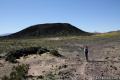 500 500 | Amboy Crater This out and back hike travels up and into a volcanic crater near Mojave National Preserve. | 3 miles 275 feet | 34.5572, -115.7814 |


 | Death Valley National Park Nine campgrounds are spread throughout this large park to facilitate your visit. |
 | Joshua Tree National Park Nine campgrounds with 500 total sites facilitate your visit to the park. |
 | Anza-Borrego Desert State Park The biggest state park in California has four developed campgrounds, eight primitive campgrounds, and as much roadside camping as you could ever want. |

Our adventure through the Mojave National Preserve was very much a success and gawd knows that both Jo and I needed to get out of the house real bad lol. I never imagined to be witness to such beauty as the one lava tube provided! We both felt like kids on the old Tom Sawyer Island caves they used to have at Disneyland – only this was very real and very ancient. I am definitely looking forward to coming back here for more shoots including getting additional footage for my side project, Treasures of the Mojave Desert.
[…] For more hikes and camping info check out this post from Hikespeak.com […]
what is the temperature in January?
What’s the best time of year to visit? Not to cold or not to hot? Also are dogs allowed?