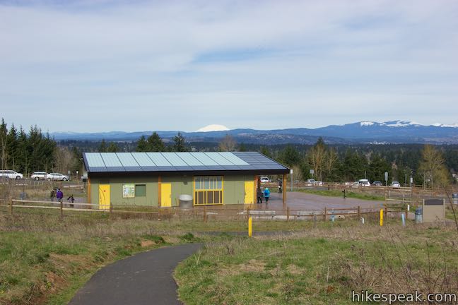
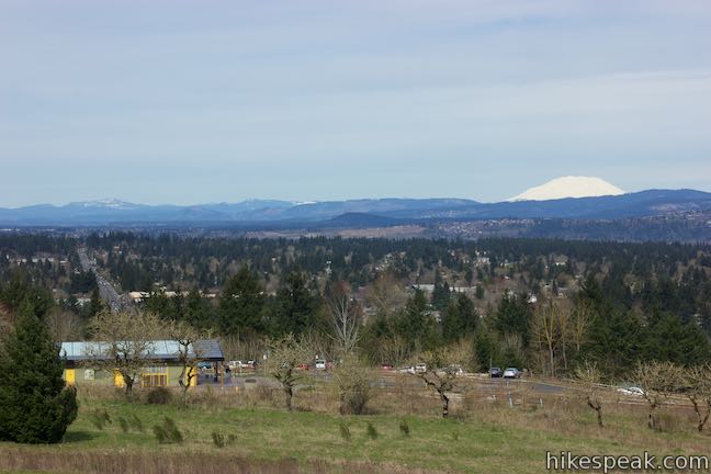
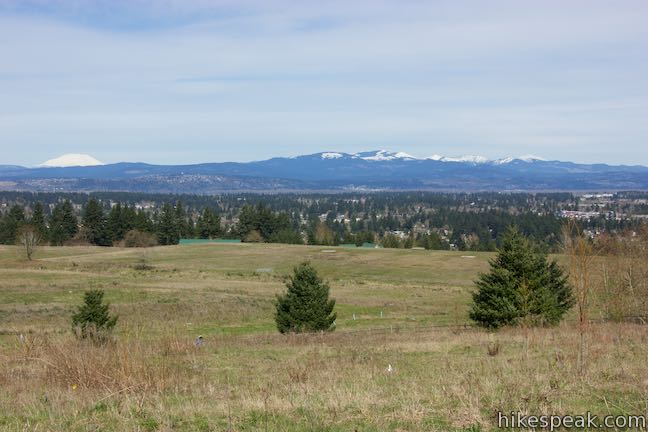
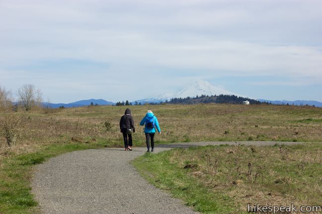
Are you in Portland, Oregon? Is it a clear day? If you answered yes to these questions, start making your way to Powell Butte. Located on the southeast side of the city, the butte is kept green by a 612-acre municipal park that offers several hiking trails for visitors. A short walk up a paved trail from the visitor center leads to the butte’s 630-foot summit, which can offer salivating views of Mount Saint Helens, Mount Hood, and other peaks. From there, take Summit Lane around the top of the butte for a 2.15-mile lollipop loop or simply hike back down Mountain View Trail for a 1.45 miler with 165 feet of elevation change.
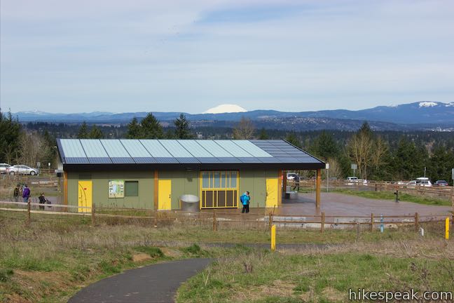
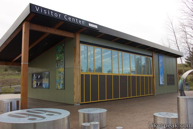
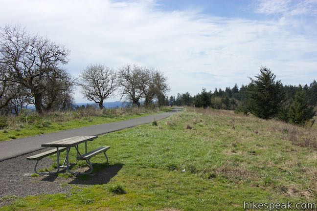
Powell Butte is an extinct cinder volcano residing in Southeast Portland. The main entrance to Powell Butte Nature Park is on SE 162nd Avenue, south of Powell Boulevard. The parking area by the visitor center is a good distance up from the base of the butte, reducing the remaining ascent to an easy stroll. Mountain View Trail leads to the top and is paved and wheelchair friendly. Summit Lane explores more of the mountaintop and is unpaved. Views of Mount Saint Helens and Mount Hood are presented right at the trailhead, so have a look around before getting underway.
Mountain View Trail
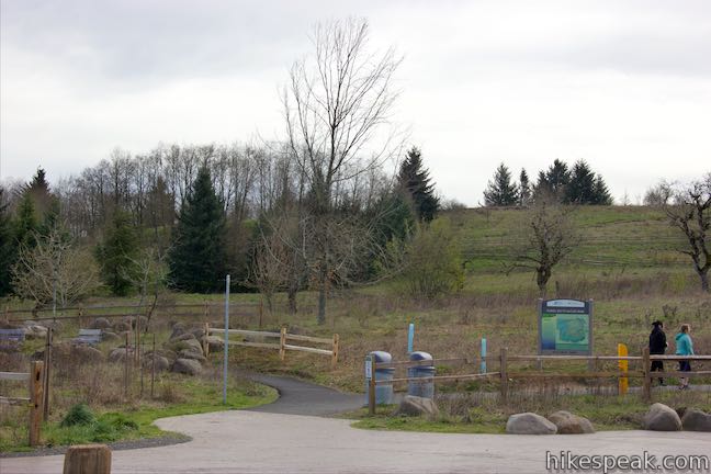
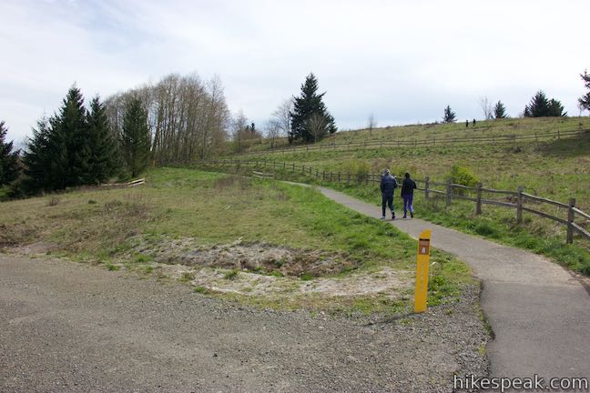
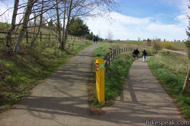
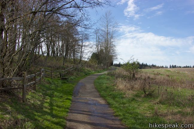
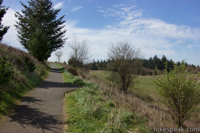
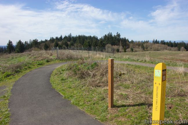
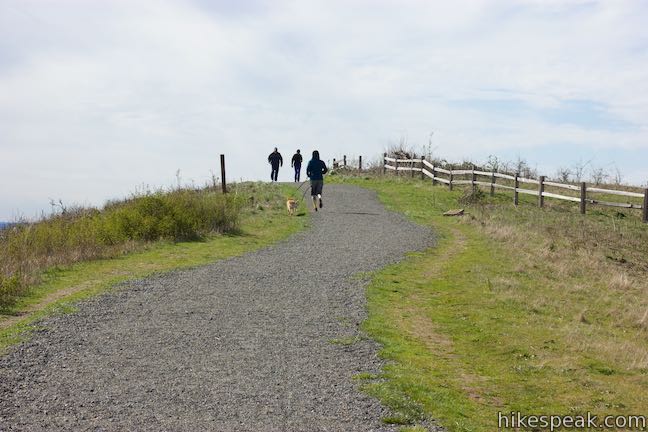
Walk to the trailhead behind the visitor center and bear right at a split toward a kiosk displaying a park map. Looking at the map, you’ll see that each trail junction in the park is numbered. The junctions on your route are clearly marked, making it easy to stay on course. Proceed up Mountain View Trail, which comes to an immediate split. You can go either way because these two branches of Mountain View Trail reunite just ahead. It will be shorter to turn left at both junctions to continue up the trail.
After 1/8 of a mile of hiking, come to a third junction (Junction 8) and go straight across East Access Lane. Look to your left down this gravel road for a nice view of Mount Hood.
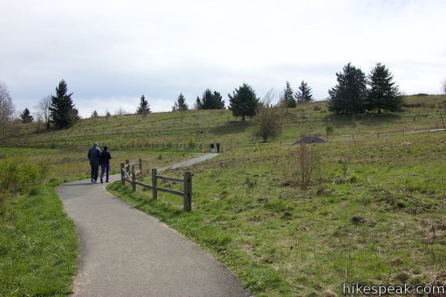
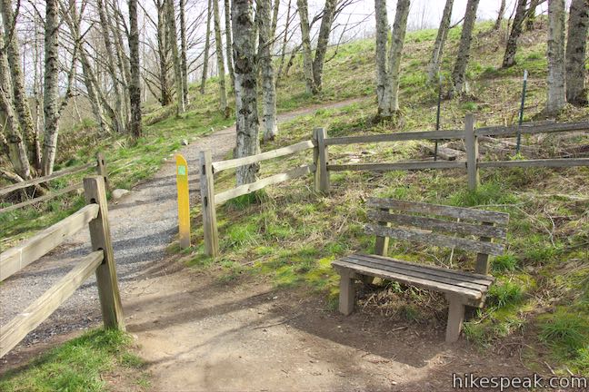
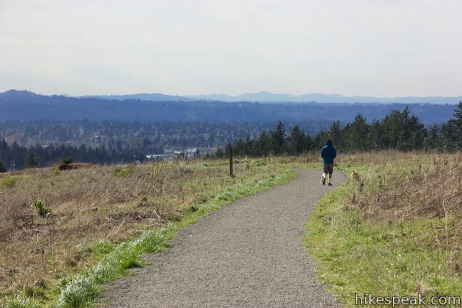
The trail heads up a slope and comes to a junction where Mountain View Trail turns to the right. Wildhorse Trail is a dirt single track that runs past the switchback and provides a more direct route up to the summit of Powell Butte. A bench is positioned at the junction, in case you need a break. Otherwise, follow Mountain View Trail as it curves to the right.
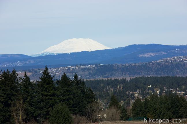
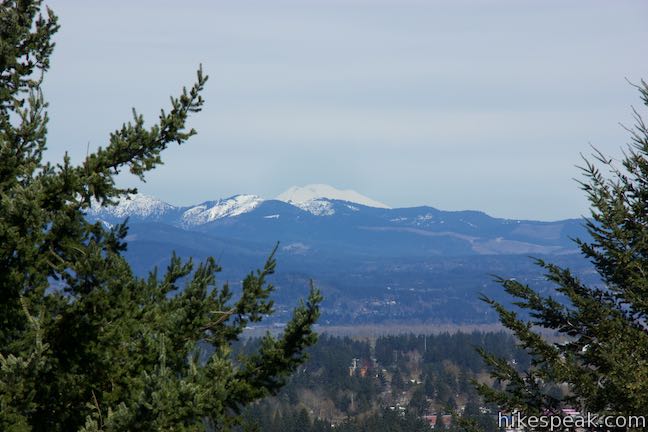
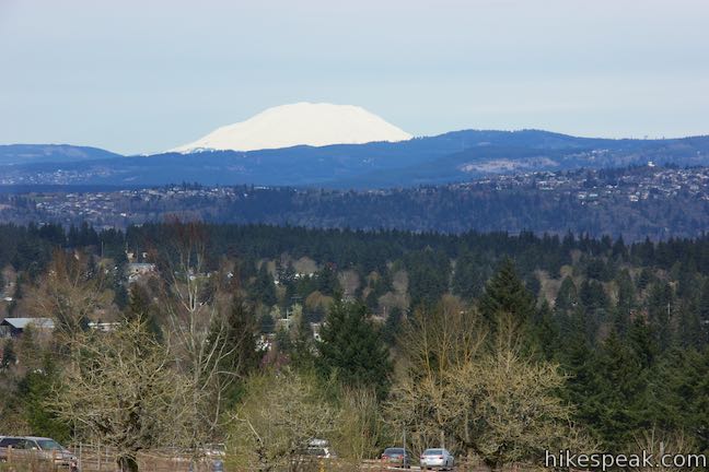
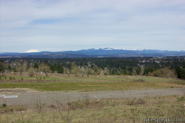
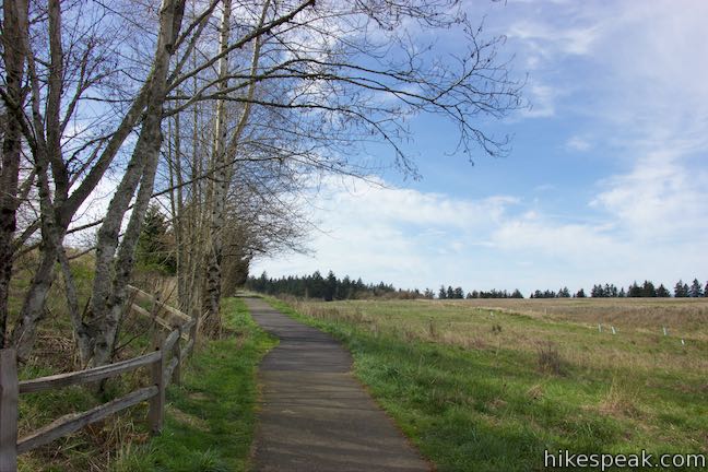
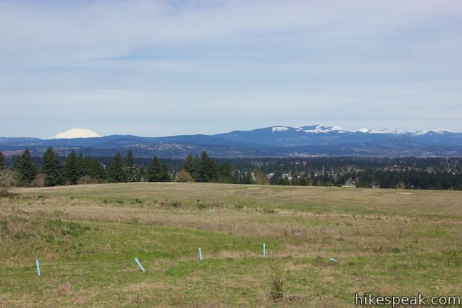
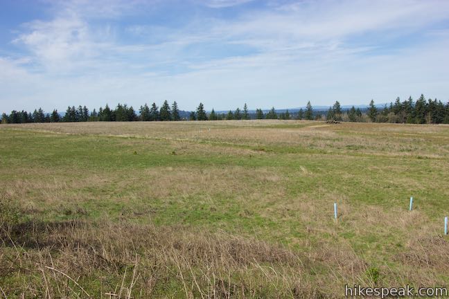
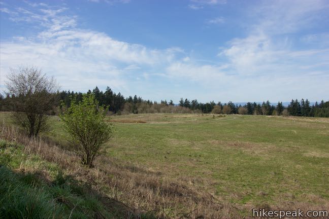
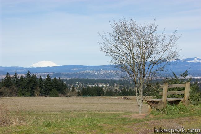
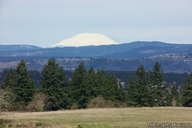
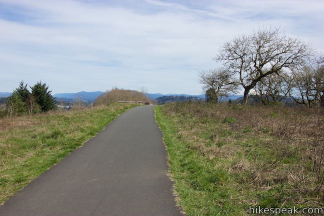
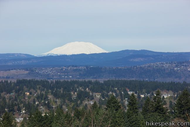
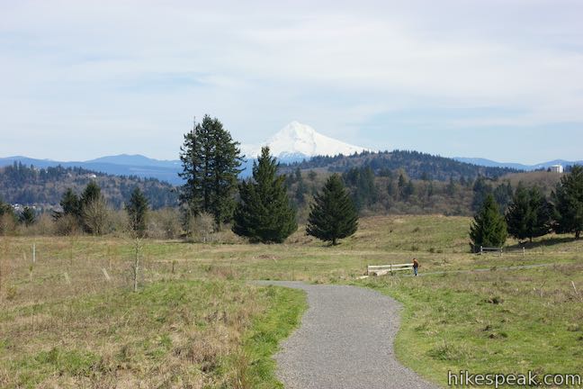
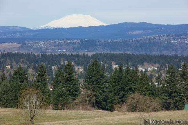
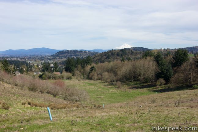
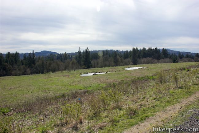
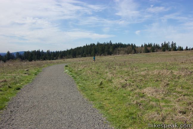
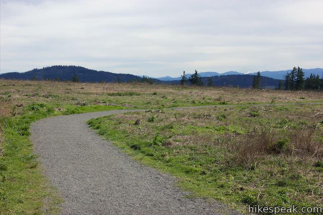
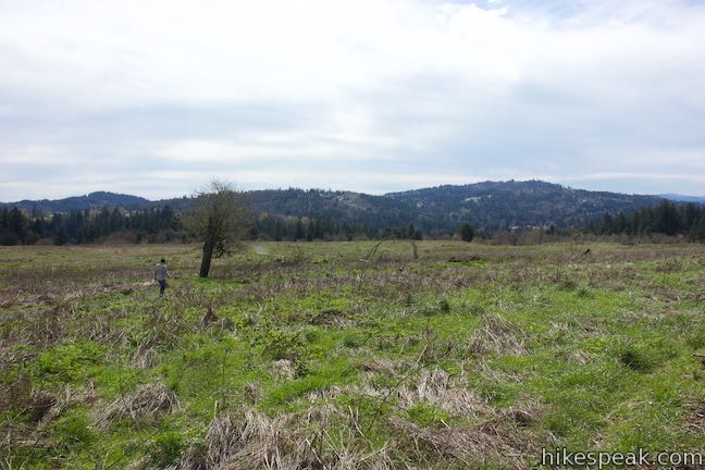
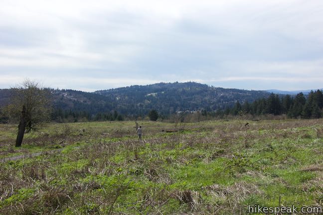
Over the next 0.45 miles, Mountain View Trail ascends gradually to the west, passing between a few trees. Below the trail to your right is a large meadow that covers a buried reservoir. This open grassy area offers unobstructed views north toward Mount Saint Helens, a white-with-snow volcano just 51 miles away.
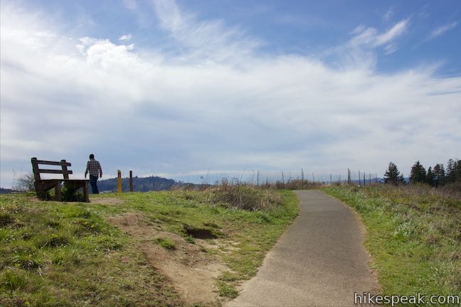
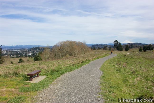
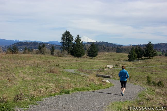
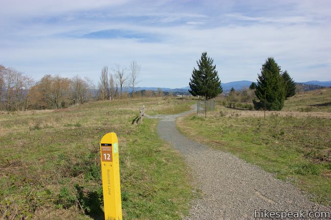
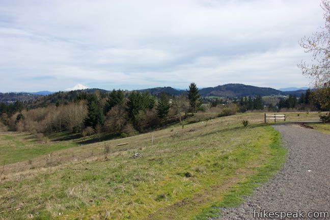
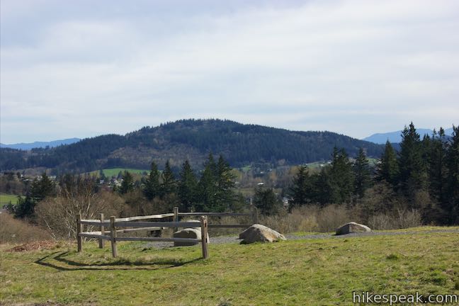
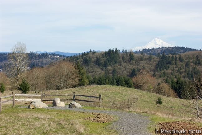
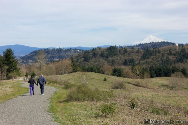
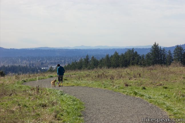
At 0.6 miles from the start, the trail approaches a tight curve to the left. At the opposite side of this curve you will hit Junction 13 with Summit Lane. Summit Lane is an unpaved trail parting to the right that forms a circuit around the top of Powell Butte and also connects with other trails in the park like Meadow Lane, Douglas Fir Trail, Hawthorn Trail, and South Trail. A bench at this junction has a great perspective of Mount Saint Helens, a massive flat-topped mountain covered in snow. Stay to the left up Mountain View Trail to hike the final tenth of a mile to the summit.
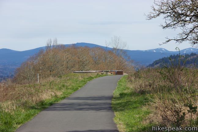
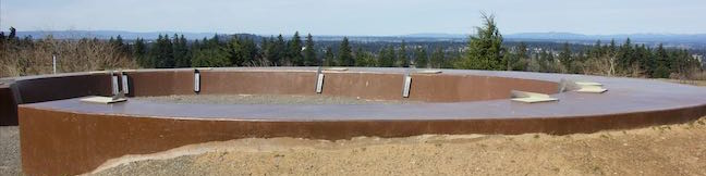
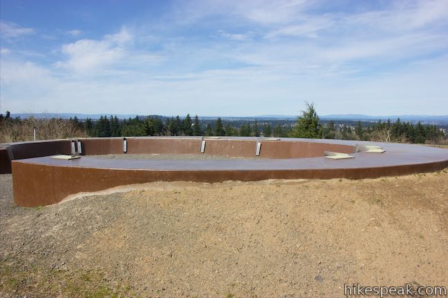
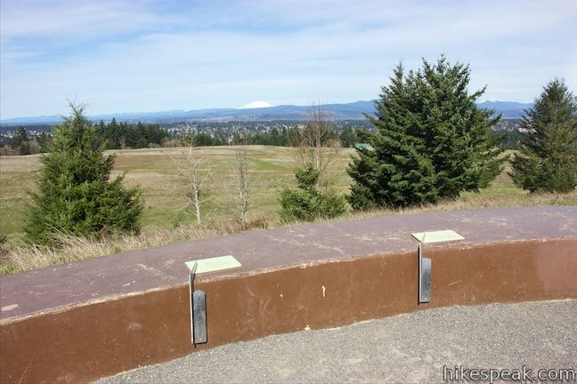
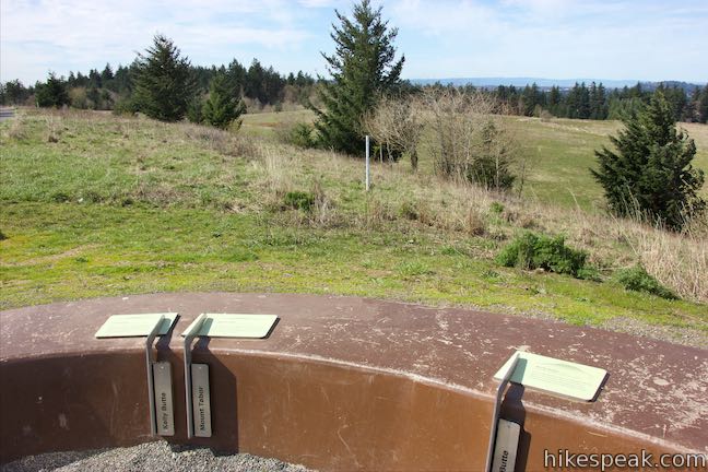
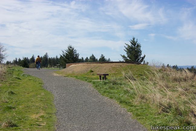
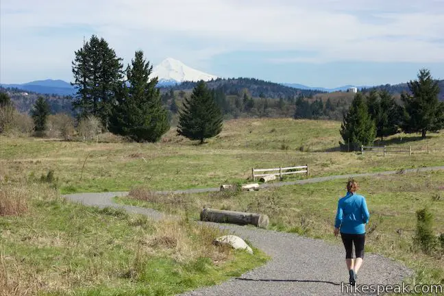
When the pavement ends you will reach the “Mountain Finder” viewpoint at the top of Powell Butte. Step into the circular viewpoint with panels next to sight lines that show visitors where to look to see surrounding peaks like Kelly Butte, Mount Tabor, Rocky Butte, Mount Saint Helens, Mount Scott, Gresham Butte, Mount Adams, Larch Mountain, and Mount Hood. One panel reminds visitors that:
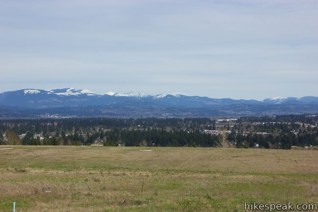
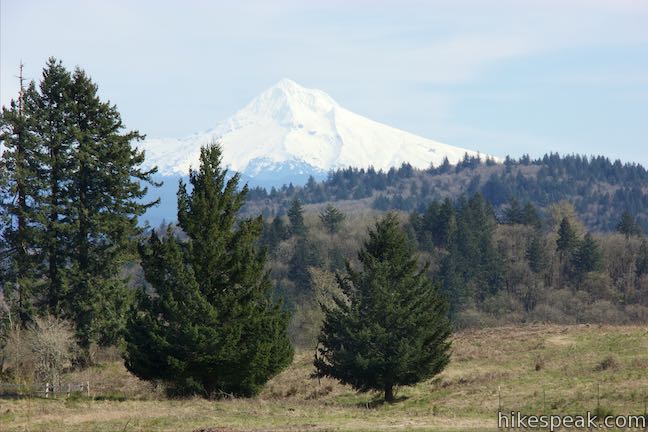
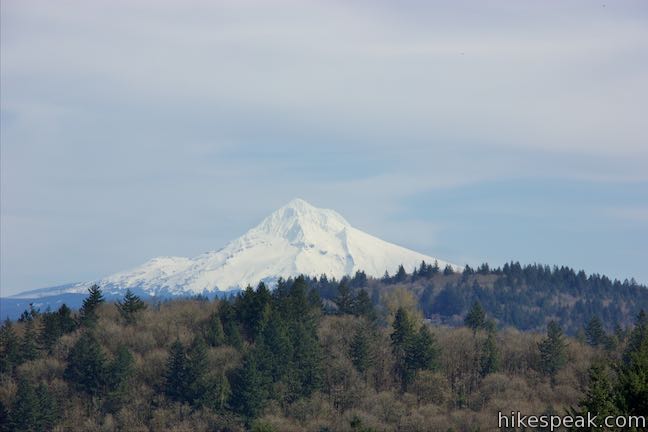
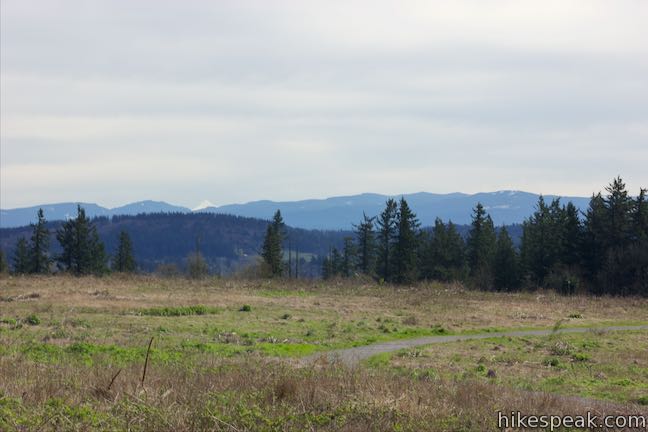
Mount Saint Helens’ 1980 eruption blew off more than a cubic mile of the mountain.
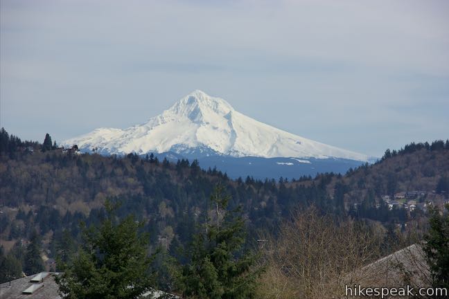
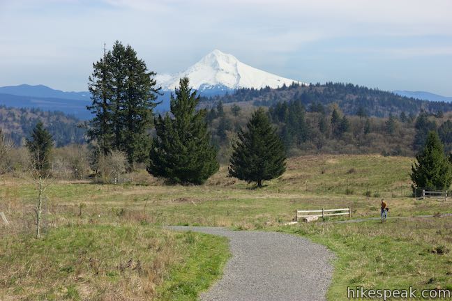
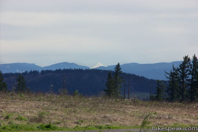
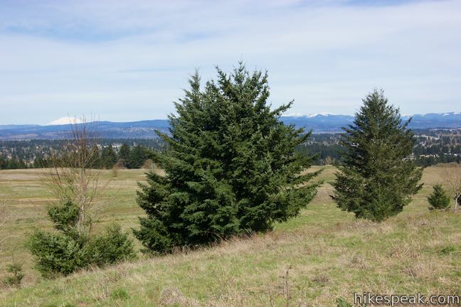
Contemplate that as you stare at the now topless 8,363-foot volcano. To see a taller mountain that does rise to a point, look east toward Mount Hood, which is just 40 miles away from Powell Butte. This still active volcano rises to an elevation of 11,249 feet, making it the tallest peak in Oregon. An even taller mountain may also be visible. Mount Adams is 70 miles away to the northeast and tops out at 12,281 feet.
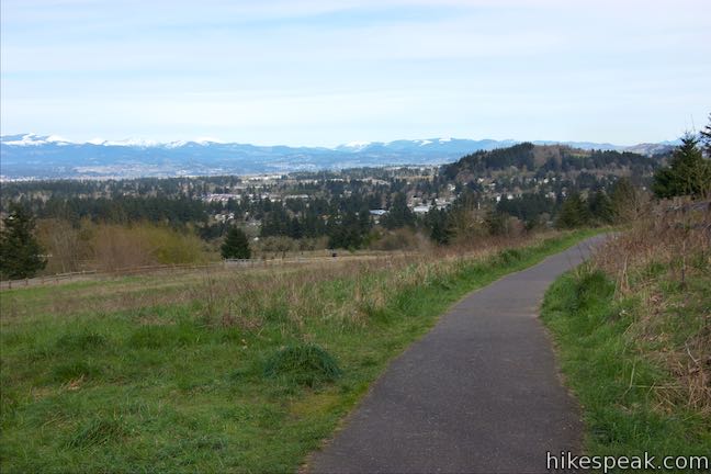
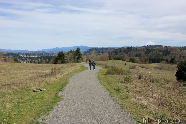
Gaze in all directions to see big mountains and smaller hills visible from Powell Butte. Once you’ve done that, you can hike back the way you came for a 1.45-mile hike. While you’re up there, you can also take a loop around the south side of the mountaintop on Summit Lane, hiking 0.8 miles back to Junction 13 to bring the total distance to 2.15 miles. Summit Lane has just 45 feet of rolling elevation change, so it makes an easy addition to Mountain View Trail.
Summit Lane
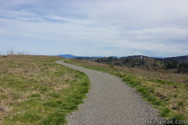
Summit Lane starts out heading east, maintaining the same course as the top of Mountain View Trail. Above the gravel trail is the alluring mass of Mount Hood, rising to a snow-covered point. The trail curves to the right and comes to a junction with Wildhorse Trail, which breaks off to the left and descends for just over three tenths of a mike to the lower junction with Mountain View Trail, presenting a potential return route to the trailhead.
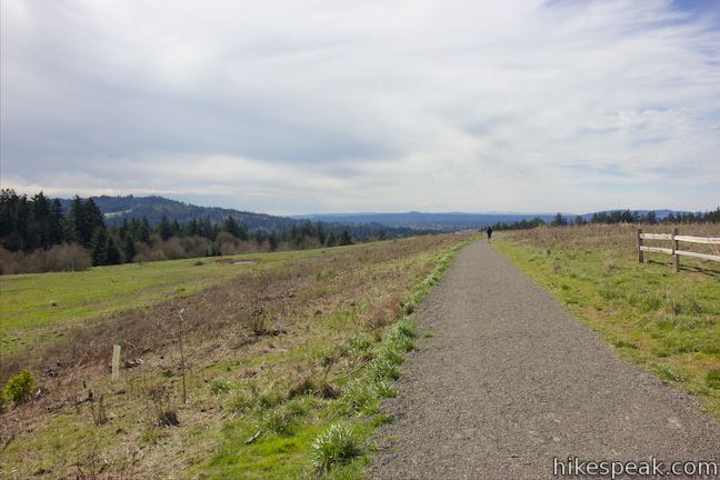
Stay to the right on Summit Lane and go around a big curve at the southeast side of the mountaintop. As the trail starts to head west, it passes a spur on the left to a viewpoint. This area on the loop offers a nice perspective of the valleys and hills southeast of Portland.
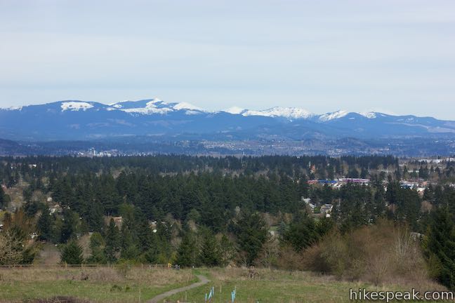
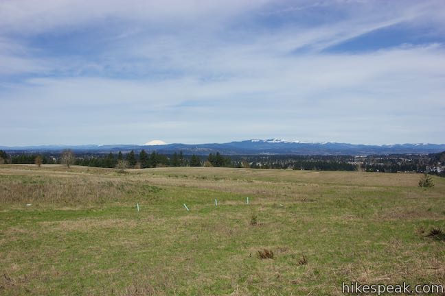
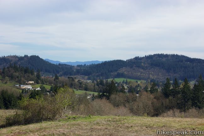
Hike uphill for a stretch and the trail will level out and pass two more junctions. Stay to the right past South Trail and Hawthorn Trail. This part of Summit Lane presents views of nearby Mount Scott, a 1,094-foot former volcano rising to the southwest. As the trail turns north, check the view over your shoulder to the southwest and see if you can catch a special glimpse of Mount Jefferson. The snow-covered top of this 10,497-foot mountain peaks up over forested ridges on clear days.
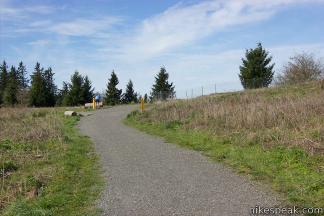
Come to one last junction on Summit Lane (labeled number 14). Douglas Fir Trail parts to the left and Meadow Lane continues straight ahead. Turn right to stick with Summit Lane. Hike up one last piece of the trail to return to Junction 13, after just over 1.5 miles of hiking. Turn left down Mountain View Trail, going immediately around the curve to the right, and follow the trail you took up back to the visitor center and parking area.
This 2.15-mile hike on Powell Butte is easy, quick, and scenic when conditions are clear. Bring a jacket as the mountaintop can be windy. Dogs are allowed on leashes and bikes are allowed on these trails as well. Powell Butte Nature Park does not charge an entrance fee (it’s free to visit) and no permit is required for this hike, so get out and enjoy!
Directions to the Trailhead
- From Interstate 5 in Portland, take the exit for Ross Island Bridge and head east on Southeast Powell Boulevard (Route 26).
- Across the bridge, drive another 8 miles on Powell Boulevard, passing under I-205 after 4.6 miles.
- Turn right on SE 162nd Avenue and drive 0.4 miles up to the parking area below the visitor center.
Trailhead Location
Trailhead address: 16160 SE Powell Boulevard, Portland, OR 97236
Trailhead coordinates: 45.49036, -122.49726 (45° 29′ 25.29″N 122° 29′ 50.13″W)
View Powell Butte Nature Park in a larger map
Or view a regional map of surrounding Oregon trails and campgrounds.

 | Scouters Mountain Nature Park This 1.2-mile loop explores a forested mountain east of Portland, rising to a shelter and a viewpoint facing Mount Hood. |
 | Canemah Bluff Nature Park This 1-7-mile hike explores wildflower fields and forests on a perch above the Willamette River near Oregon City. |
 | Marquam Nature Park Hike through peaceful forest in a pocket of Portland's West Hills on a 1.3, 3, or 4.25-mile loop. |
 | George Himes Trail This short lollipop loop ascends into Portland's West Hills for a woodland walk with a view of Mount Hood. |
 | Trillium Trail in Tryon Creek State Natural Area This short nature trail is packed with plant-identifying panels as well as benches and viewing platforms. |
 | Two-Mile Loop in Tryon Creek State Natural Area Combine Old Main Trail, Red Fox Trail, Cedar Trail, Middle Creek Trail, and Maple Ridge Trail to loop through rolling woodland and across 3 bridges. |
 | Lower Macleay Trail to Stone House This 1.8 to 2-mile hike starts by following Balch Creek to fern-covered ruins and can finish with a loop that exits Forest Park and passes through the Willamette Heights Neighborhood in Northwest Portland. |
 | Lower Macleay Park to Pittock Mansion This 5.4-mile hike in Forest Park takes Lower Macleay Trail to the Stone House ruins and ascends Wildwood Trail to Pittock Mansion, bagging a big view over Portland. |
 | Cornell Road to Pittock Mansion This 2.5-mile hike on Wildwood Trail and Upper Macleay Trail in Forest Park goes up a wooded hillside to Pittock Mansion, a landmark with panoramic views over Portland. |
 | Holman Lane – Wildwood Trail – Birch Trail Loop This 2.7-mile loop combines three trails in Forest Park for a refreshing woodland walk. |
 | Trails in Oregon Explore more hikes in Oregon outside Greater Portland. |
Common Questions about Mountain View Trail and Summit Lane in Powell Butte Nature Park
- Is the trail open?
- Yes. You should expect to find that Mountain View Trail & Summit Lane Loop is open. There are no recent reports of trail closures. If you discover that the trail is closed, please help your fellow hikers by reporting a closure.
- Is this trail free to access?
- Yes, Mountain View Trail & Summit Lane Loop is free to access. No entrance fee, pass, or permit is required. If you discover that access rules have changed, please provide feedback on your experience.
- How much time does this hike take?
- It takes approximately 1 hour to hike Mountain View Trail & Summit Lane Loop. Individual hiking times vary. Add extra time for breaks and taking in the views.
- How long is this hike?
- The hike to Mountain View Trail & Summit Lane Loop is 1.45 to 2.15 miles (out and back / lollipop loop) with 165 feet of elevation change.
- Are dogs allowed on this trail?
- Yes, dogs are allowed on Mountain View Trail & Summit Lane Loop. The trail is open to hikers, dogs, bikes.
- Where is the trailhead located?
- The trailhead for Mountain View Trail & Summit Lane Loop is located in Portland, Oregon.
Trailhead Address:
16160 SE Powell Boulevard
Portland, Oregon 97236
Trailhead Coordinates:
45.49036, -122.49726 - What are the driving directions to the start of the hike?
To get to the trailhead: From Interstate 5 in Portland, take the exit for Ross Island Bridge and head east on Southeast Powell Boulevard (Route 26). Across the bridge, drive another 8 miles on Powell Boulevard, passing under I-205 after 4.6 miles. Turn right on SE 162nd Avenue and drive 0.4 miles up to the parking area below the visitor center.
View custom Google Maps directions from your current location.
- Are there other trails near Mountain View Trail & Summit Lane Loop?
- Yes, you can find other nearby hikes using the Hikespeak Hike Finder Map.

[…] favorite destination if we have a bit more time and energy to invest is Powell Butte, a place I kinda fell in love with a few years ago when we first visited Portland together. Great […]
Can some one tell me the old name of Powell Butte in the 70s? my name Bryce Reynolds. I was raised in September Portland and as kids we called it something else. Does anyone know? please text back