Tawhai Falls
in Tongariro National Park
Tawhai Falls is a lovely little waterfall in Tongariro National Park. The short single-drop waterfall along the tree-lined Whakapapanui Stream is located near Whakapapa Village, home of the park’s main visitor center and campground, making it a convenient and enjoyable addition to your Tongariro itinerary. The 20-minute walk to the falls is 0.8 kilometers (0.5 miles) round trip with 40 meters (130 feet) of elevation change.
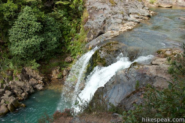
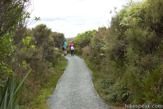
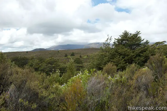
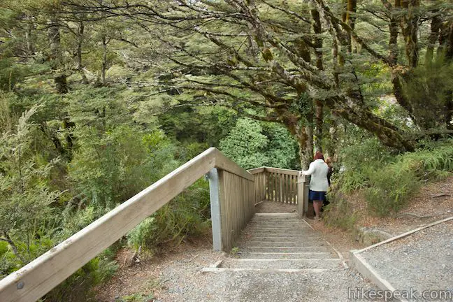
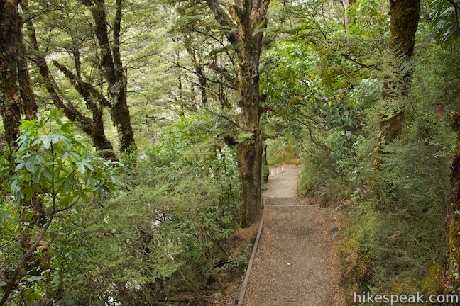
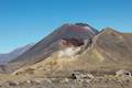
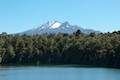
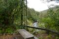
Start from a turnout along the road to Whakapapa Village where there is a sign for Tawhai Falls Walk. Stroll 150 meters down the wide dirt track to a bench that has views above the surrounding brush toward the nearby volcanoes. The track continues down a switchback to the left, getting closer to Whakapapanui Stream. Proceed another 150 meters to a T-junction. A short path to the right ventures out to an overlook at the brink of the falls. The viewpoint is just behind the cliffs alongside the top of the falls and has a wooden railing for safety.
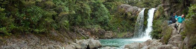
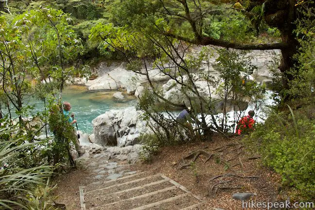
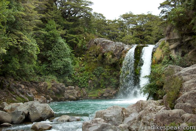
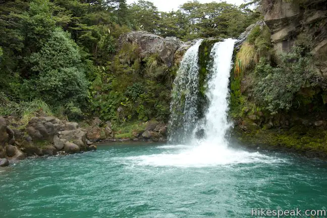
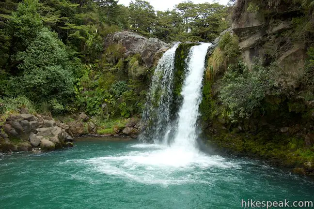
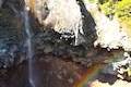
The best views of the waterfall come from the base, so return to the T-junction and take the other path, continuing another hundred meters down a switchback to the bank of Whakapapanui Stream. Turn right and look upstream to see Tawhai Falls.
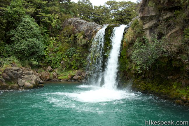
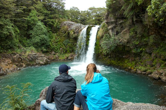
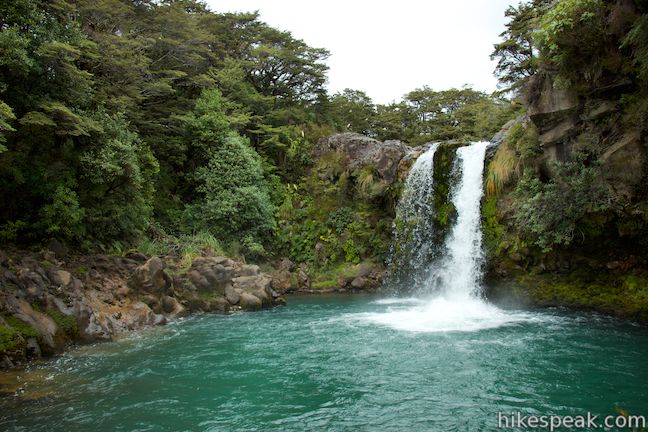
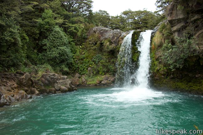
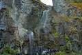
The trail ends here, with a view upstream toward the waterfall. If you’re feeling a bit agile, make your way up the rocks on the side of the stream to get even closer. For the best view, climb up onto a rock outcropping that is just across the plunge pool from the waterfall. Look across the beautiful turquoise pool toward the gusher of white water. Tawhai Falls is listed as 13 meters (43 feet) tall, but is probably a bit shorter. Nevertheless, it’s quite a nice waterfall in a lovely setting that almost feels tropical, which you would not expect given its proximity to enormous alpine volcanoes.
After gazing into the falls for a while, head back downstream and take the track back to the start. The trail ends at Tawhai Falls, so there’s no getting lost. Dogs and bikes are not allowed, but no fee or permit is required to walk to Tawhai Falls, so get out and enjoy!

Directions to the Trailhead
- From Taupo, head south on State Highway 1 for about 50 kilometers to Turangi.
- Turn right on State Highway 41.
- Drive 2.7 kilometers and turn left on State Highway 47.
- Take this road for 37 kilometers and turn left up State Highway 48 toward Whakapapa Village.
- The car park for Tawhai Falls is 2.5 kilometers up this road on the left, 3.7 kilometers before Whakapapa Village.
Trailhead Location
Trailhead address: State Highway 48, Tongariro National Park, Manawatu-Wanganui, 4691, New Zealand
Trailhead coordinates: -39.175314, 175.5136 (39° 10′ 31.13″S 175° 30′ 48.95″E)
View Tongariro National Park in a larger map
Or view a regional map of surrounding New Zealand tracks, campgrounds, and lodging.


 | Taranaki Falls This 6.45-kilometer loop crosses a variety of volcano-influenced landscapes to reach a beautiful 20-meter tall waterfall in Tongariro National Park. |
 | Silica Rapids This 5.15-kilometer point-to-point hike or 7.15 kilometer loop leaves from Whakapapa Village in Tongariro National Park and crosses alpine bogs, forests, streams, and ridges of volcanic rock to reach creamy cascades on silica terraces. |
 | Tongariro Alpine Crossing This 19.4-kilometer long through-hike ventures across dynamic volcanic landscapes in Tongariro National Park and ranks among the world's greatest day hikes. |
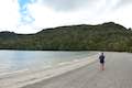 | Lake Rotopounamu This 6.4-kilometer loop visits tranquil beaches on a forest-wrapped lake in Tongariro National Park. |
 | Mangawhero Falls This easy 0.3-kilometer hike leads to a viewpoint for a 25-meter tall waterfall below Mount Ruapehu in Tongariro National Park. |
 | Waitonga Falls This 4-kilometer return hike reaches Tongariro National Park's tallest waterfall and passes through an alpine wetland that reflect views of Mount Ruapehu. |
 | Lake Rotokura This 2-kilometer return hike reaches a peaceful blue lake that reflects a view of Mount Ruapehu, the tallest mountain in the North Island. |
 | More trails in New Zealand Explore other destinations for walking and hiking (as well camping and lodging) in New Zealand. |
 | Whakapapa Holiday Park This holiday park in Whakapapa Village offers tent sites, campervan sites, cabins, and a backpackers lodge along a stream below Mount Ruapehu in Tongariro National Park. |
 | Whakaipo Lodge This lodge near Lake Taupo blends comfort with luxury and has welcoming owners who can help you take advantage of the area's abundant outdoor opportunities. |
 | Mangawhero Campground This campground in Tongariro National Park near Ohakuna, New Zealand has twelves sites on two loops with views of Mount Ruapehu. |
- Tawhai Falls on freewalks.nz (opens in a new tab)
- Tawhai Falls on world-of-waterfalls.com (opens in a new tab)
- Tawhai Falls on rankers.co.nz (opens in a new tab)
- Tawhai Falls on waterfalls.co.nz (opens in a new tab)
- Tawhai Falls on nz-waterfalls.livejournal.com (opens in a new tab)
- The Department of Conservation webpage for Whakapapa Village Short Walks (including Tawhai Falls) (opens in a new tab)
Common Questions about Tawhai Falls in Tongariro National Park
- Is the trail open?
- Yes. You should expect to find that Tawhai Falls Track is open. There are no recent reports of trail closures. If you discover that the trail is closed, please help your fellow hikers by reporting a closure.
- Is this trail free to access?
- Yes, Tawhai Falls Track is free to access. No entrance fee, pass, or permit is required. If you discover that access rules have changed, please provide feedback on your experience.
- How much time does this hike take?
- It takes approximately 15 minutes to hike Tawhai Falls Track. Individual hiking times vary. Add extra time for breaks and taking in the views.
- How long is this hike?
- The hike to Tawhai Falls Track is a 0.8 km / 0.5 mile out and back return with 40 meters / 130 feet of elevation change.
- Are dogs allowed on this trail?
- No, dogs are likely not allowed on Tawhai Falls Track. The trail is primarily open to hikers.
- Is Tawhai Falls Track good for kids?
- Yes, this hike is likely suitable for children. It is relatively short (0.5 miles) with manageable elevation gain.
- Will I see a waterfall on this hike?
- Yes, Tawhai Falls Track features a waterfall.
- Where is the trailhead located?
- The trailhead for Tawhai Falls Track is located in Tongariro National Park, Manawatu-Wanganui.
Trailhead Address:
State Highway 48
Tongariro National Park, Manawatu-Wanganui 4691
Trailhead Coordinates:
-39.175314, 175.5136 - What are the driving directions to the start of the hike?
To get to the trailhead: From Taupo, head south on State Highway 1 for about 50 kilometers to Turangi. Turn right on State Highway 41. Drive 2.7 kilometers and turn left on State Highway 47. Take this road for 37 kilometers and turn left up State Highway 48 toward Whakapapa Village. The car park for Tawhai Falls is 2.5 kilometers up this road on the left, 3.7 kilometers before Whakapapa Village.
View custom Google Maps directions from your current location.
- Are there other trails near Tawhai Falls Track?
- Yes, you can find other nearby hikes using the Hikespeak Hike Finder Map.

Go the extra miles...
Submit a rating of this hike to go with your comment. Contribute to the average trail rating.