Lake Rotopounamu
in Tongariro National Park
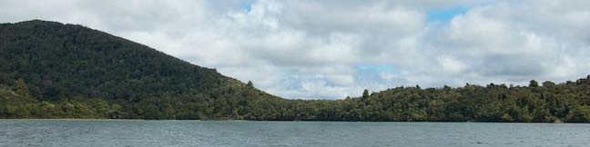
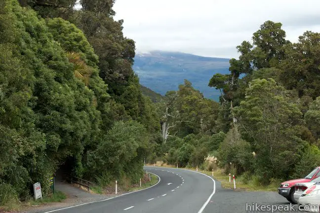
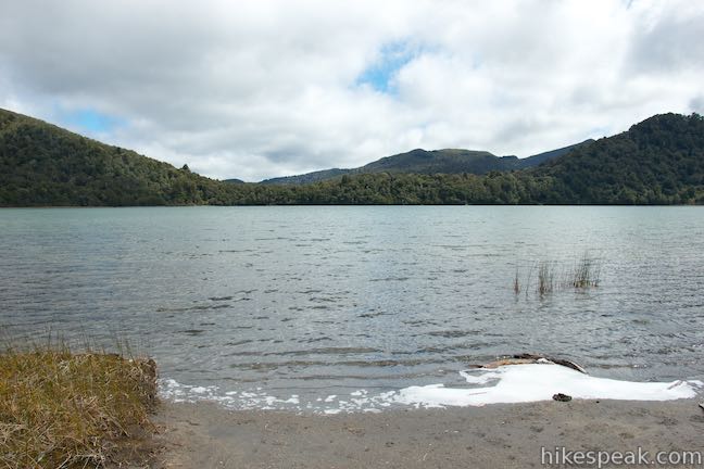
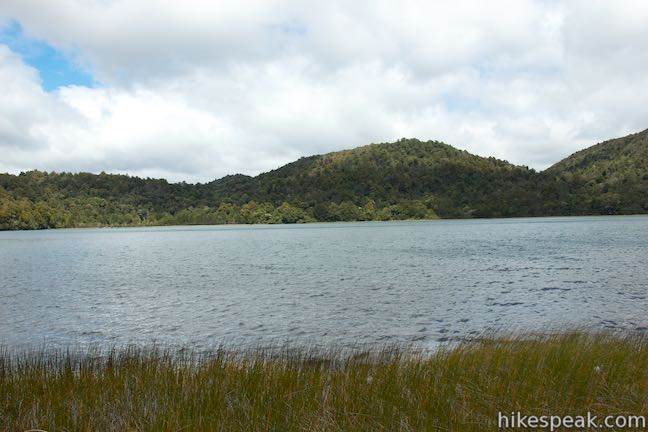
With scenery that is more verdant than the volcanic landscapes at the center of Tongariro National Park, Lake Rotopounamu Track provides a peaceful walk to a small, forest-cradled lake with inviting beaches. Lake Rotopounamu, which is also know as Greenstone Lake, covers one square kilometer. Lake Rotopounamu Loop Track circles the lake for a hike that’s 6.4 kilometers (4 miles) round trip with 90 meters (295 feet) of elevation change. Those traveling between Taupo and the west side of Tongariro National Park will pass right by the start of Lake Rotopounamu Track, along Highway 47 southwest of Turangi. Break up the drive with this pleasant two-hour lollipop loop!
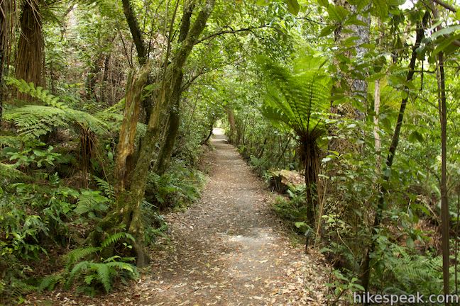
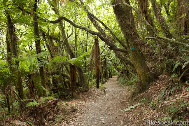
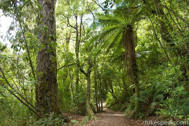
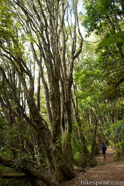
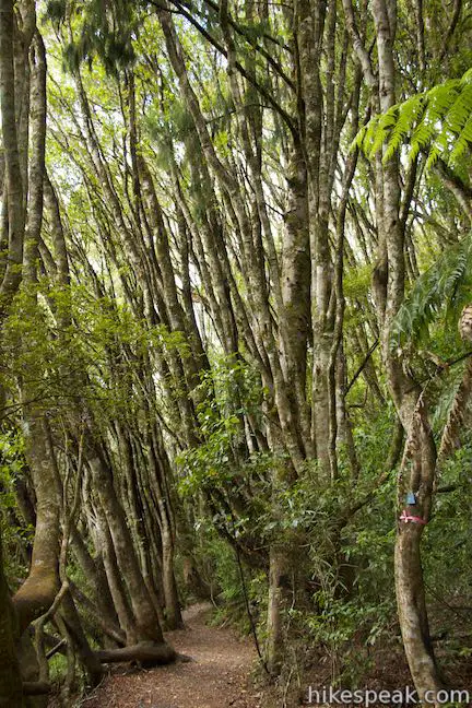
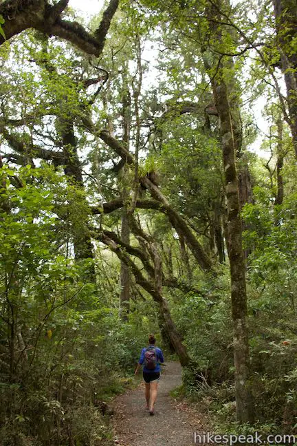
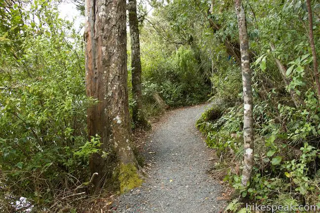
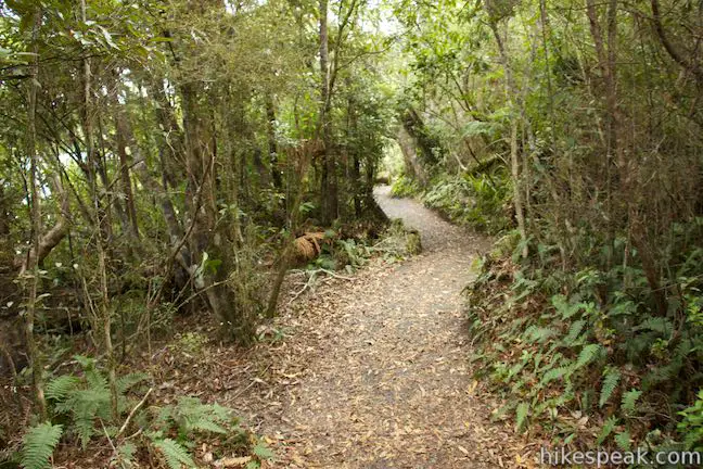
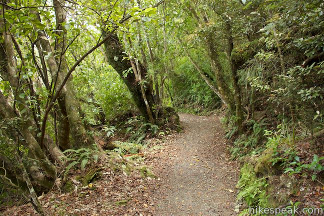
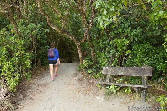
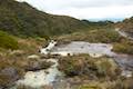
Lake Rotopounamu Track heads south from the road, gradually ascending through a dense forest. Pass through a gate after 50 meters and continue up a wide, well-maintained, dirt single track. Fern trees give the trail a rainforest-feel, while taller pines rise overhead. It is an 850-meter long hike from the car park up to the start of the loop.
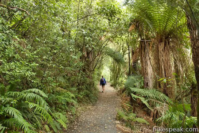
Are you a botany enthusiast? This is a great track for learning about all the different trees that make up a typical New Zealand forest. Numerous panels along the track identify and describe what’s growing around you. Some of the plants identified along the track are: rimu (red pine), hinau, matai (black pine), kahikatea (white pine), miro (brown pine), tawhairaunui (red beech), katote (Soft fern tree), ponga (silver tree fern), kamahi, white mistletoe, koromiko, rangiora, kanono raurekau, kamahi, maire, rewarewa (New Zealand honeysuckle), kanuka (tea tree), raurenga (kidney fern), pahau kakapo (giant moss), Hall’s totora, and mahoe (whitey wood). Birders will enjoy Lake Rotopounamu Track as well. This area has an aggressive pest management program that allows the bird population to thrive. Native birds include falcons, kaka, tui, bellbirds, yellow-crowned kakariki, fantails, and robins.
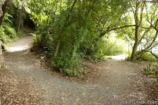
Reach a split in the track at the start of the loop, 0.85 kilometers from the start. Ten Minute Beach is to the left and Five Minute Beach is to the right. When hiking the loop, the park recommends that you head to the right first, taking a counter clockwise (anti-clockwise) route around the lake. From here the sign says it is a 10-minute walk to Five Minute Beach, which doesn’t really add up. Long Beach is on the far side of the lake, 55 minutes away. This is the premier beach for bathing and lounging at Lake Rotopounamu. Beyond that, the sign says you’ll come around to Ten Minute Beach after 80 minutes, nearing the end of the 90-minute loop around the lake. Once you return to this junction, it is a 20-minute walk back to Highway 47. There are no other junctions along Lake Rotopounamu Track, except for paths out to a few sandy spots around the lake.
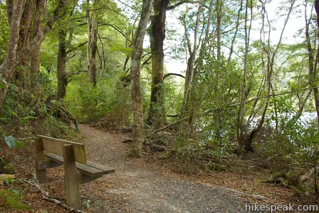
Bear right and begin toward Five Minute Beach. In 100 meters, you will pass a bench, but don’t stop if you plan to make it to the beach in five minutes! The track turns downhill toward the lake. At 400 meters past the junction, and 1.25 kilometers from the start, come down alongside the lake and make a hard left turn on a path to Five Minute Beach.
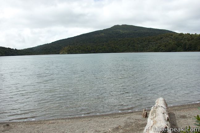
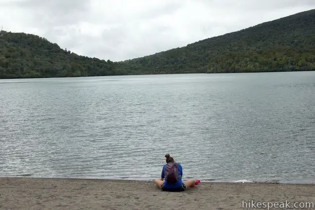
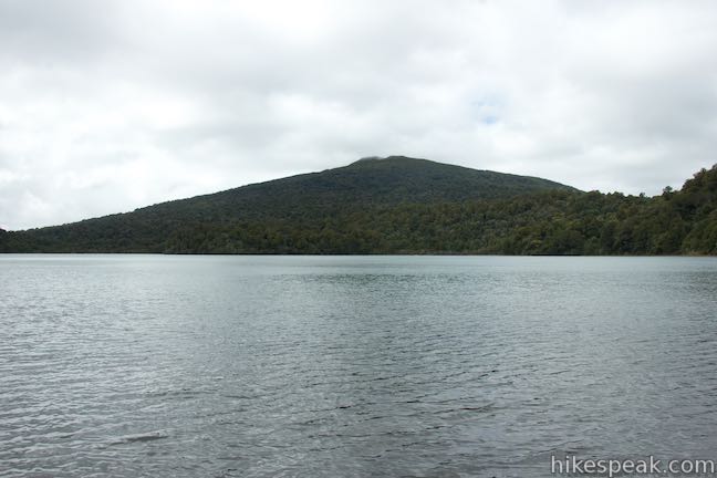
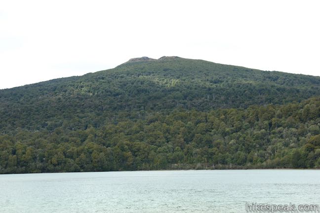
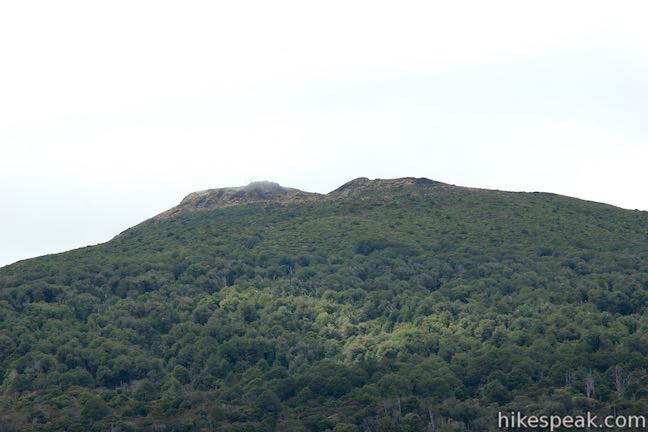
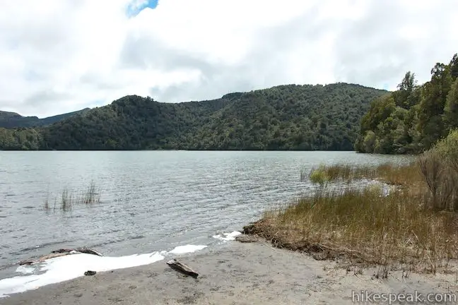
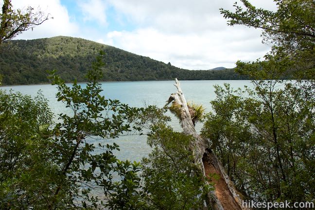
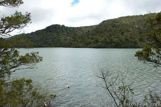
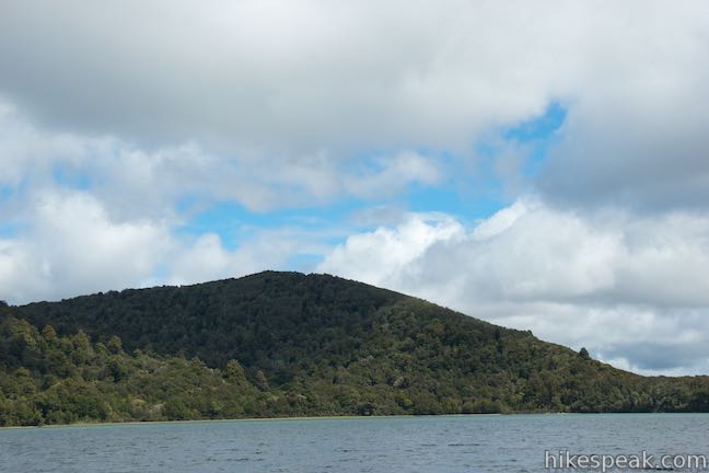
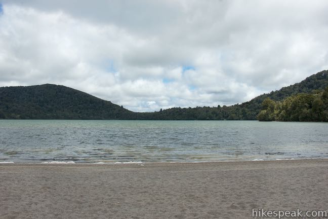
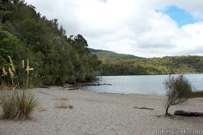
Step out on a pebbly beach and gaze across the lake. A dense forest surrounds the blue-green waters. Above the lake to the southeast rises Mount Pihanga. The hike’s best views of that 2,369-meter peak are from Five Minute Beach.
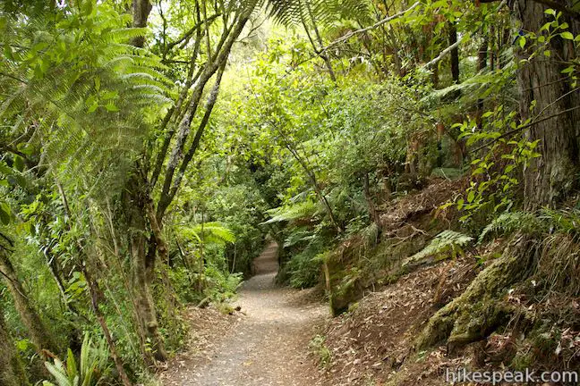
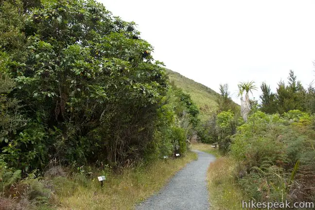
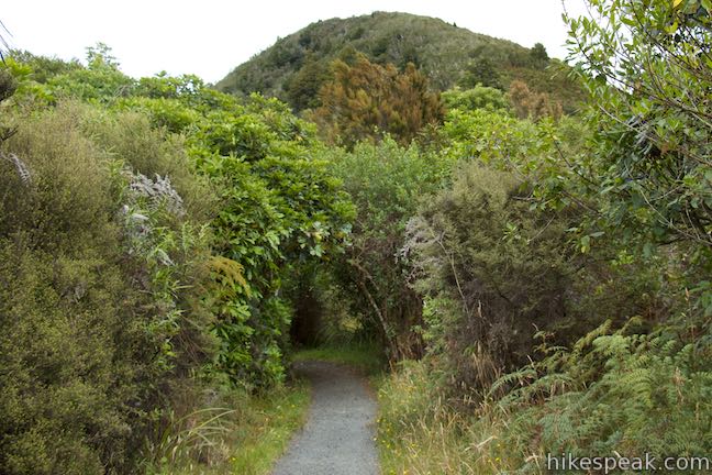
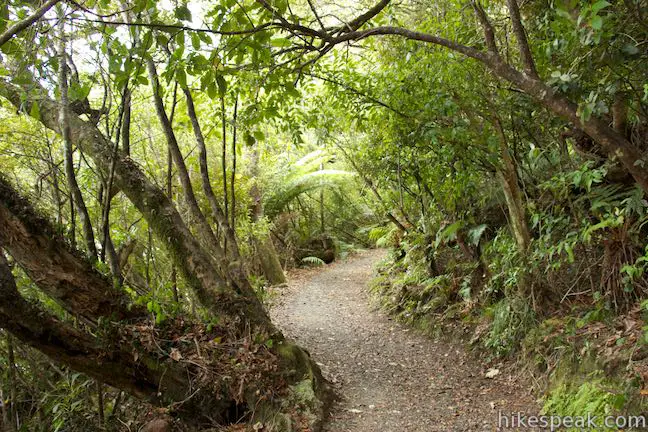
Return to Lake Rotopounamu Loop Track, which continues through the forest toward the south end of the lake. Just past Five Minute Beach, there is another path out to a sandy spot on the lake (perhaps this is Six Minute Beach). Continue over rolling terrain as the track heads east along the south side of the lake. While you’ll stay close to Lake Rotopounamu, the dense forest means that the water is not always visible. This is definitely a forest walk, but there are nice peekaboo views of the lake.
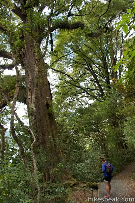
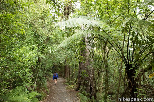
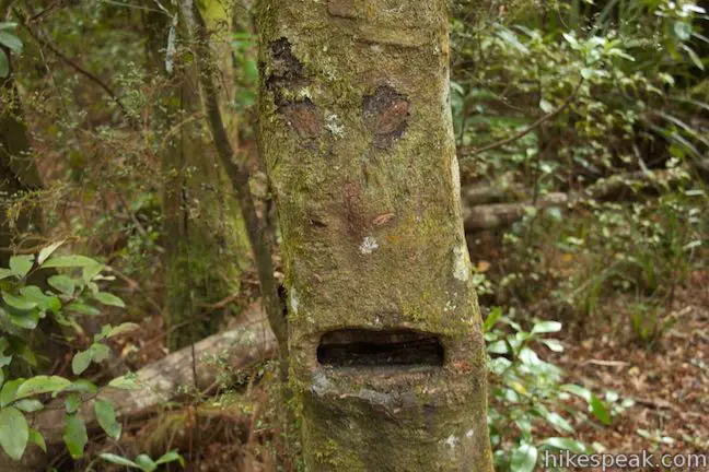
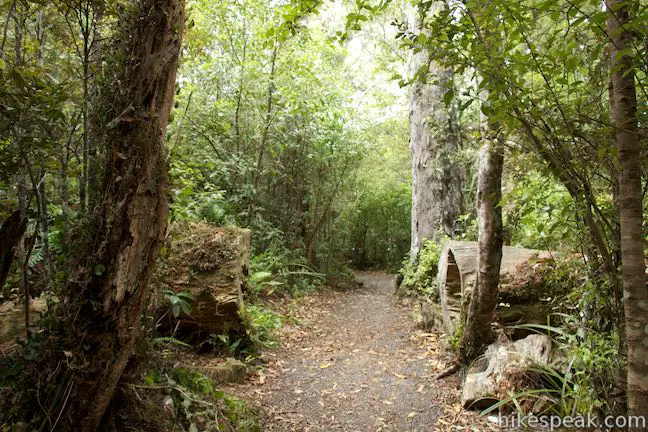
Prepare to feel small as you pass through grand rimu trees along the track. These red pines can grow to be over thirty meters (100 feet) tall. About 2.5 kilometers from the start, you might feel like someone is watching you – there’s a tree on the left side of the track with knots and marking that make it look just like a face. At 2.75 kilometers, a path on the left ventures out to a small sandy beach. This is a nice private spot with views around the lake.
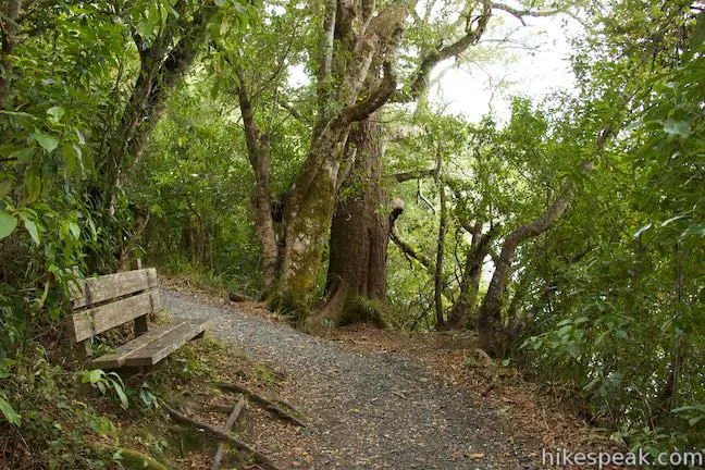
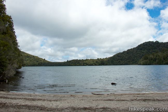
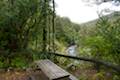
Leave the unnamed beach and proceed up the track through more impressive rimu trees. The track skims closer to the shore. At 3.35 kilometers from the start, a bench with a view of the lake provides a scenic place to take a break. In another 300 meters, you will approach the south end of Long Beach. Go down a few wooden steps and pass a privy on the left. If you need to use the bathroom, this is the spot as there is no toilet at the start of Lake Rotopounamu Track.
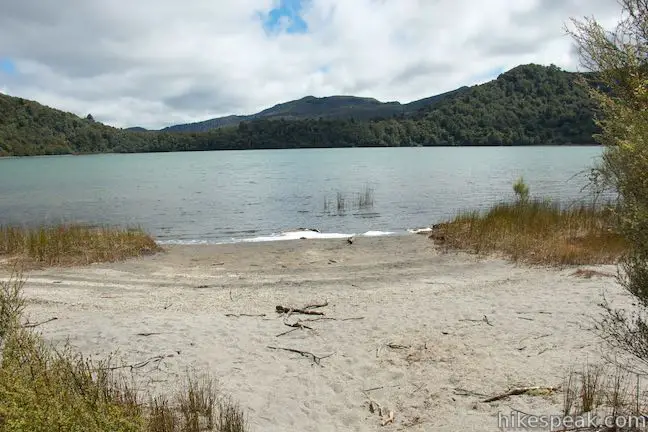
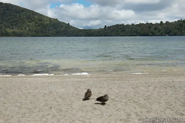
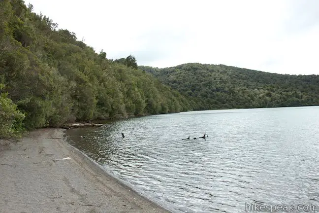
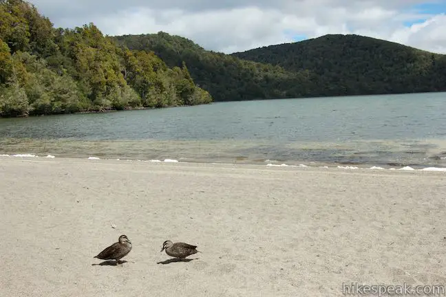
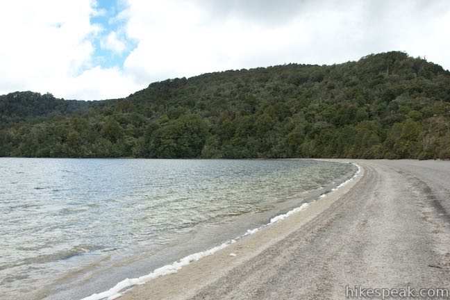
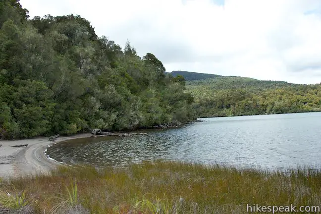
Long Beach is 350 meters long, stretching down the east side of Lake Rotopounamu. There are benches at both ends of the beach and one in the middle. When the track leaves the forest, all you need to do is walk up the beach to find the resumption of the track on the other side, but you’ll be inclined to linger a bit. Long Beach has course sand and westward views across Lake Rotopounamu. There is plenty of room to have a picnic or sunbathe, and swimming is allowed too. If you stop to eat, you can expect to be approached by ducks.
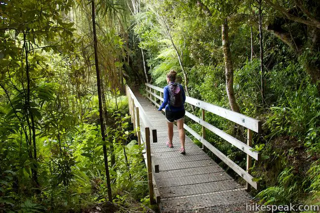
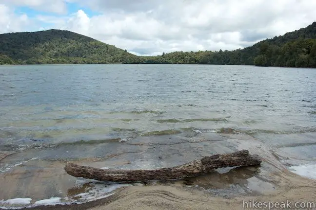
When you’ve had you fill of the beach, walk to the north end of Long Beach and continue with the track. You have hiked about 4 kilometers and there are 2.4 kilometers to go. The track heads uphill from the beach, passing a bench after another 200 meters. The dense forest might be even lusher on the north side of the lake than it was the south shore. There are footbridges on this section of the track, which crosses three of the four streams that flow into Lake Rotopounamu. No streams flow out of Lake Rotopounamu, so the water is escaping somewhere below the surface of the 9-meter deep lake.
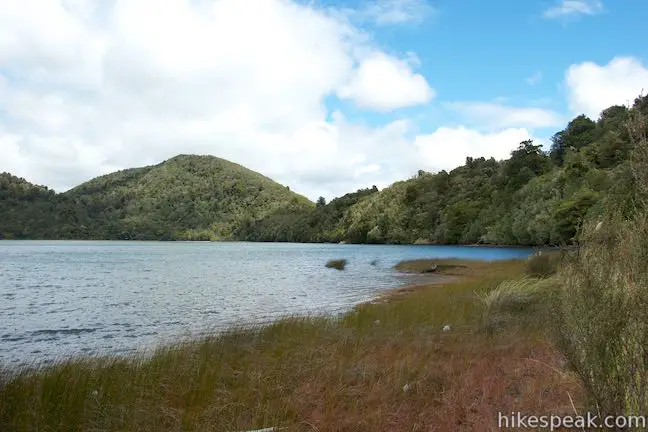
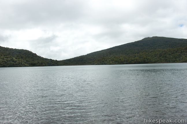
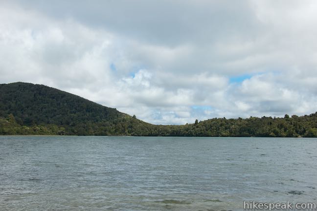
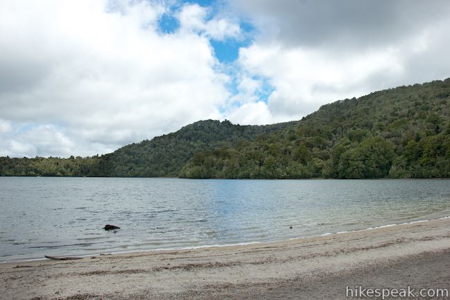
The track stays a bit closer to the lake along the north shore. At 4.9 kilometers from the start, you will arrive at Ten Minute Beach. This beach is not as sandy as Long Beach and is bordered by a grassy area along the shore. Enjoy this last view of Lake Rotopounamu, looking out toward the south side of the lake.
If the name Five Minute Beach made you excited that you were moments away from the lake, Ten Minute Beach could make you sad that the hike is coming to an end. Proceed another 0.65 kilometers up the track to close the loop. Turn right and walk down to Highway 47, repeating the first 850 meters of the hike to bring the total distance to 6.4 kilometers.
Dogs and bikes are not permitted on Lake Rotopounamu Track and other tracks in Tongariro National Park. For more hikes in the park, check out Tongariro Alpine Crossing and the tracks around Whakapapa Village (Taranaki Falls, Tawhai Falls and Silica Rapids). No fee or permit is required for Lake Rotopounamu Walk, so get out and enjoy!
Directions to the Trailhead
- From Taupo, head south on State Highway 1 for about 50 kilometers to Turangi.
- Turn right on State Highway 41.
- Drive 2.7 kilometers and turn left on State Highway 47.
- Take this road for 5.5 kilometers to the car park on the right (west) side of the road opposite the start of Lake Rotopounamu Track.
Trailhead Location
Trailhead address: Te Ponanga Saddle Road, Tongariro National Park, Waikato, 3382, New Zealand
Trailhead coordinates: -39.01716, 175.73165 (39° 01′ 01.77″S 175° 43′ 53.94″E)
View Tongariro National Park in a larger map
Or view a regional map of surrounding New Zealand tracks, campgrounds, and lodging.


 | Spa Thermal Park - Huka Falls Walkway This 7.3-mile round trip walk follows the Waikato River from hot springs at Spa Thermal Park to the rapids and waterfall at Huka Falls in New Zealand's most visited scenic reserve. |
 | Tongariro Alpine Crossing This 19.4-kilometer long through-hike ventures across dynamic volcanic landscapes in Tongariro National Park and ranks among the world's greatest day hikes. |
 | Tawhai Falls This 0.8-kilometer return hike visits a short but enticing single-drop waterfall near Whakapapa Village in Tongariro National Park. |
 | Silica Rapids This 5.15-kilometer point-to-point hike or 7.15 kilometer loop leaves from Whakapapa Village in Tongariro National Park and crosses alpine bogs, forests, streams, and ridges of volcanic rock to visit creamy cascades on silica terraces. |
 | Taranaki Falls This 6.45-kilometer loop crosses a variety of volcano-influenced landscapes to observe a beautiful 20-meter tall waterfall in Tongariro National Park. |
 | Rimu Walk This short, level walk explores a Rimu forest along the Mangawhero River near the town of Ohakune at the south end of Tongariro National Park. |
 | Waitonga Falls This 4-kilometer return hike reaches Tongariro National Park's tallest waterfall and passes through an alpine wetland that reflect views of Mount Ruapehu. |
 | Mangawhero Falls This easy 0.3-kilometer hike leads to a viewpoint for a 25-meter tall waterfall below Mount Ruapehu in Tongariro National Park. |
 | More trails in New Zealand Explore other destinations for walking and hiking (as well camping and lodging) in New Zealand. |
 | Whakapapa Holiday Park This holiday park in Whakapapa Village offers tent sites, campervan sites, cabins, and a backpackers lodge along a stream below Mount Ruapehu in Tongariro National Park. |
 | Whakaipo Lodge This lodge near Lake Taupo blends comfort with luxury and has welcoming owners who can help you take advantage of the area's abundant outdoor opportunities. |
 | Mangawhero Campground This campground in Tongariro National Park near Ohakuna, New Zealand has twelves sites on two loops with views of Mount Ruapehu. |
- Lake Rotopounamu on wikipedia.org (opens in a new tab)
- Lake Rotopounamu Track on taupotrampers.com (opens in a new tab)
- Lake Rotopounamu Track on nzwalksinfo.co.nz (opens in a new tab)
- Pest Management at Lake Rotopounamu on tongariro.org.nz (opens in a new tab)
- A Department of Conservation brochure of Walks in and around Tongariro National Park (opens in a new tab)
- The Department of Conservation webpage for Rotopounamu Track (opens in a new tab)
- The Department of Conservation webpage for Tongariro National Park (opens in a new tab)
Common Questions about Lake Rotopounamu in Tongariro National Park
- Is the trail open?
- Yes. You should expect to find that Lake Rotopounamu Track is open. There are no recent reports of trail closures. If you discover that the trail is closed, please help your fellow hikers by reporting a closure.
- Is this trail free to access?
- Yes, Lake Rotopounamu Track is free to access. No entrance fee, pass, or permit is required. If you discover that access rules have changed, please provide feedback on your experience.
- How much time does this hike take?
- It takes approximately 1 hour 45 minutes to hike Lake Rotopounamu Track. Individual hiking times vary. Add extra time for breaks and taking in the views.
- How long is this hike?
- The hike to Lake Rotopounamu Track is a 6.4 km / 4 mile lollipop loop with 90 meters / 295 feet of elevation change.
- Are dogs allowed on this trail?
- No, dogs are likely not allowed on Lake Rotopounamu Track. The trail is primarily open to hikers.
- Is there a lake on this hike?
- Yes, Lake Rotopounamu Track visits a lake.
- Where is the trailhead located?
- The trailhead for Lake Rotopounamu Track is located in Tongariro National Park, Waikato.
Trailhead Address:
Te Ponanga Saddle Road
Tongariro National Park, Waikato 3382
Trailhead Coordinates:
-39.01716, 175.73165 - What are the driving directions to the start of the hike?
To get to the trailhead: From Taupo, head south on State Highway 1 for about 50 kilometers to Turangi. Turn right on State Highway 41. Drive 2.7 kilometers and turn left on State Highway 47. Take this road for 5.5 kilometers to the car park on the right (west) side of the road opposite the start of Lake Rotopounamu Track.
View custom Google Maps directions from your current location.
- Are there other trails near Lake Rotopounamu Track?
- Yes, you can find other nearby hikes using the Hikespeak Hike Finder Map.

[…] the name properly may be beyond most visitors, but completing the Lake Rotopounamu Track is not all challenging; even if you also enjoy a swim in the lake, this very rewarding stroll can […]
Can you push a push chair round this track