Old Coach Road Walk
in Arthur’s Pass National Park

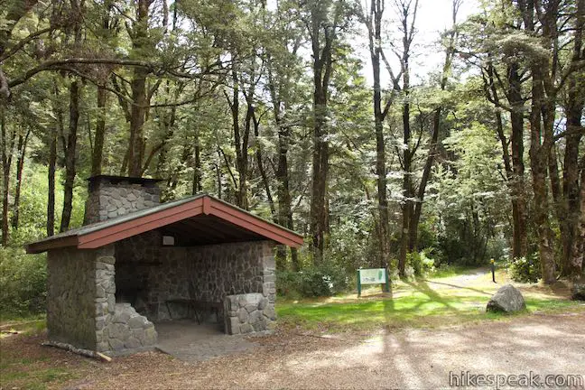
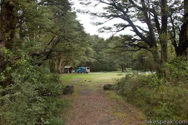
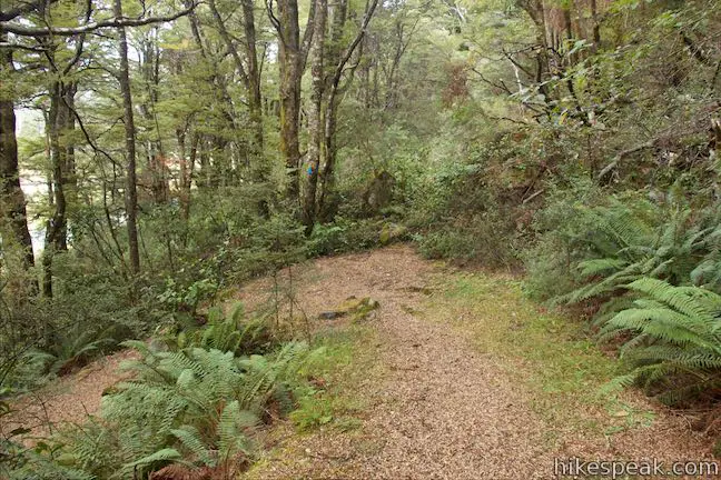
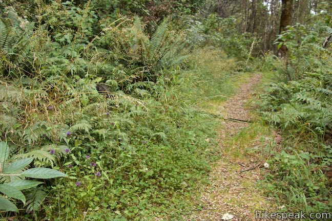
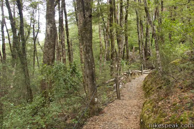
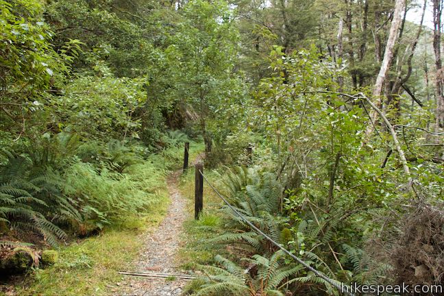
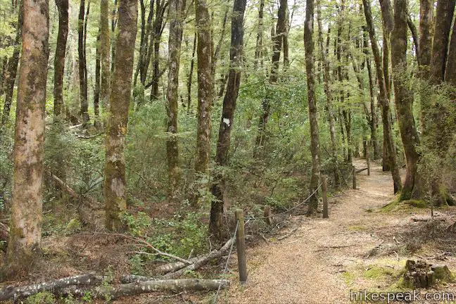
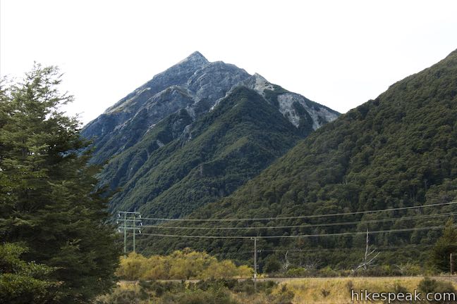
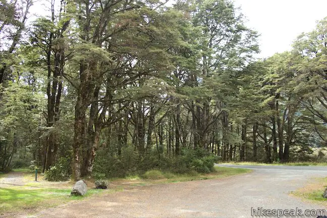
This mostly unremarkable woodland walk explores the forest a few kilometers south of Arthur’s Pass Village. Much of the track follows an old coach road that went to Arthur’s Pass so the walk provides a history lesson on the area’s earlier travelers. The easy walk is 1 to 1.4 kilometers long, starting and ending at Greynes Shelter Campground. With just 15 meters of elevation change along the way, Old Coach Road Walk is suitable for all able-bodied hikers.
The loop is shaped roughly like a safety pin – a long oval with an additional inner loop at the north end. A short section of the trail between the campground and the northern loop is not very scenic, running past a toilet and along State Highway 73. You could skip this stretch of the track and walk out and back on the other side, converting the hike into a lollipop loop that increases the hikes distance and enjoyability (bringing the walk to 1.4 kilometers round trip instead of a shorter 1 to 1.07 kilometers).
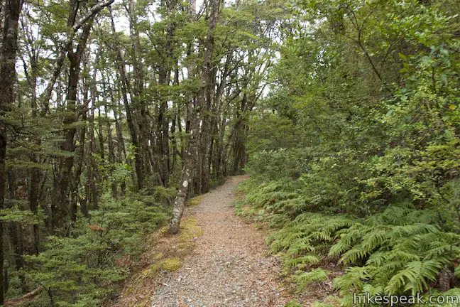
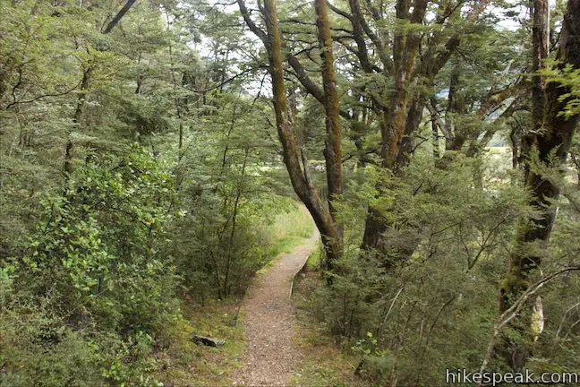
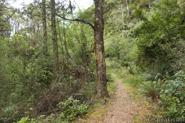
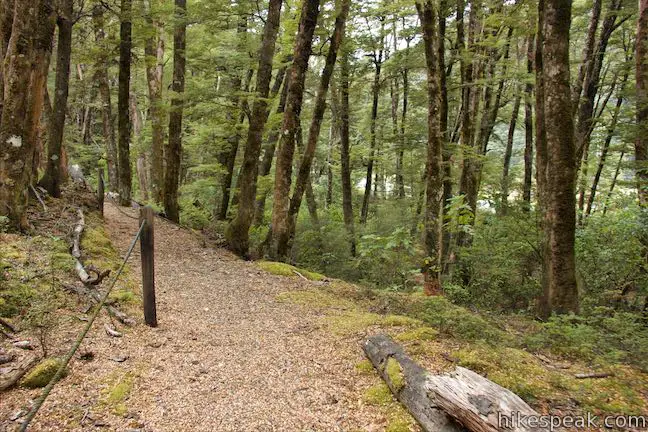
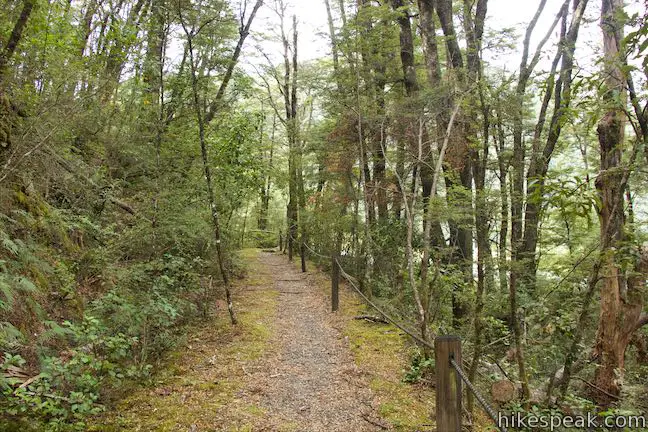
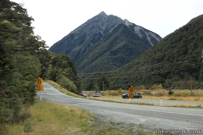
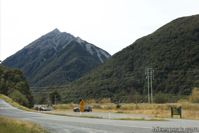
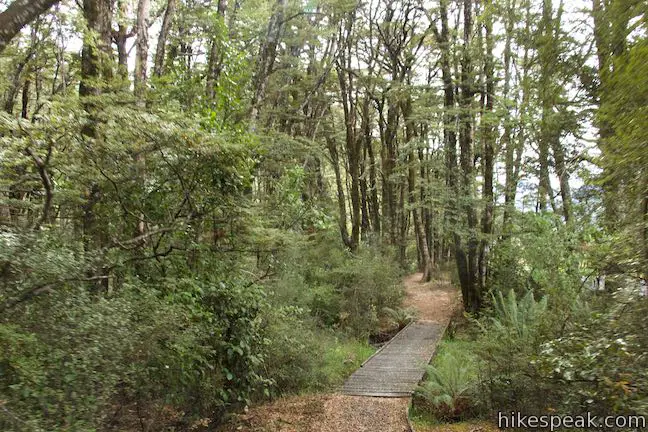
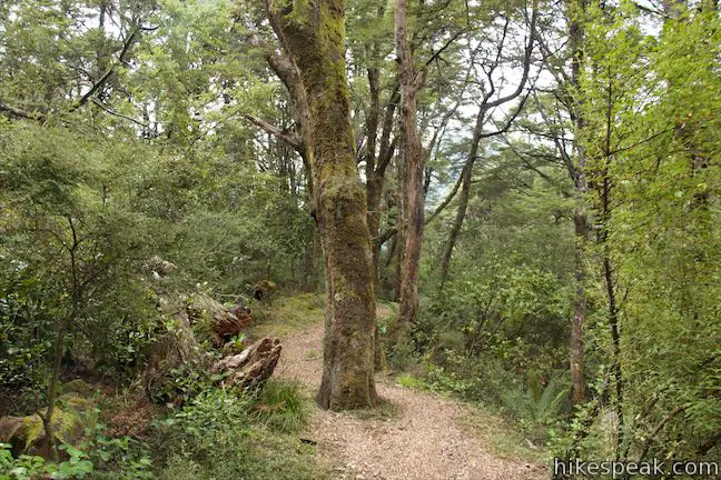
To begin Old Coach Road Walk, go south from Greyneys Shelter and cross the grassy camping area to find a track entering the forest. The track heads gradually uphill for 100 meters to the century old roadbed where the track makes a sharp right turn. You are now walking on the old coach road to Arthur’s Pass, a single-vehicle wide path through the forest. You might be wondering why the road was built up here on a hillside and not down in the flat area closer to Bealey River where the road is now. The river’s course would vary and floods were common, making it difficult to travel by coach, as a sign by Greyneys Shelter explains:
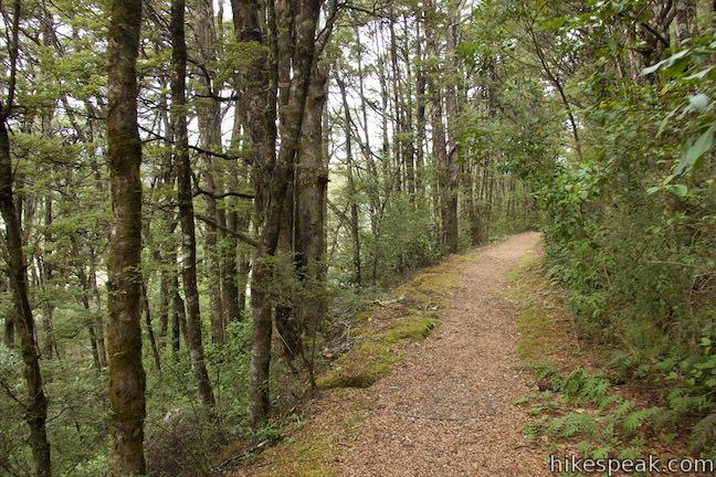
This track follows a fragment of old coach road to the West Coast. The lure of gold rushes in the 1860s created an urgent need to find a route over these mountains. Until the rail link was completed in 1923, all passenger traffic to the isolated West Coast follows the hair-raising route over Arthur’s Pass. This part of the coach road was built to avoid the challenge of the changing river braids. Today you can travel from Christchurch to the West Coast in four hours in the comfort of an air-conditioned vehicle or take a more leisurely journey on the train. During the coaching era, the journey took 37 hours in good weather. Snow and heavy rain could make this trip take up to a week!
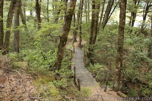
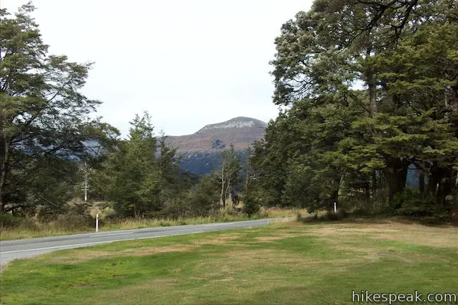
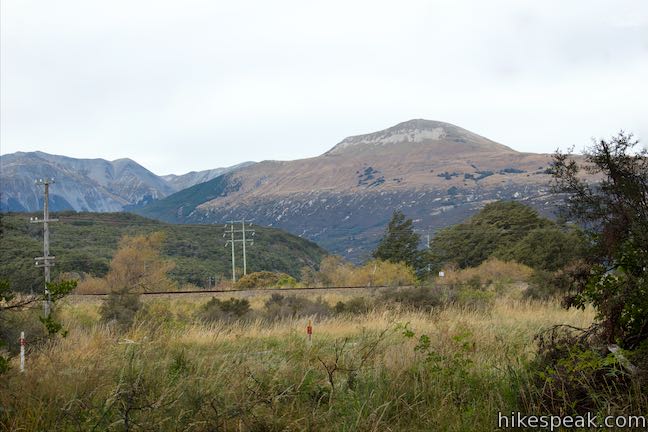
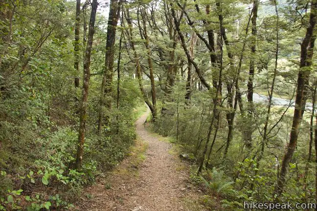
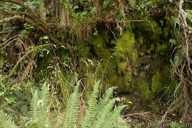
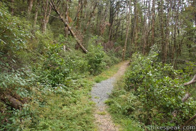
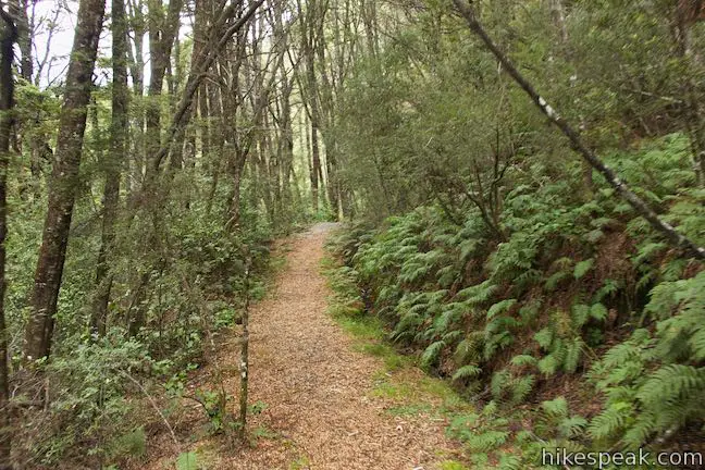
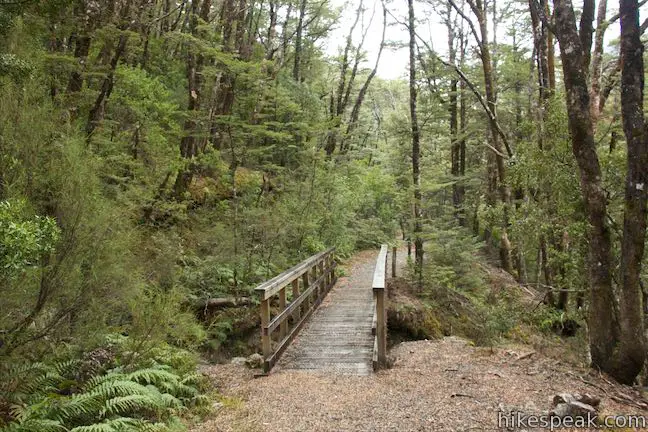
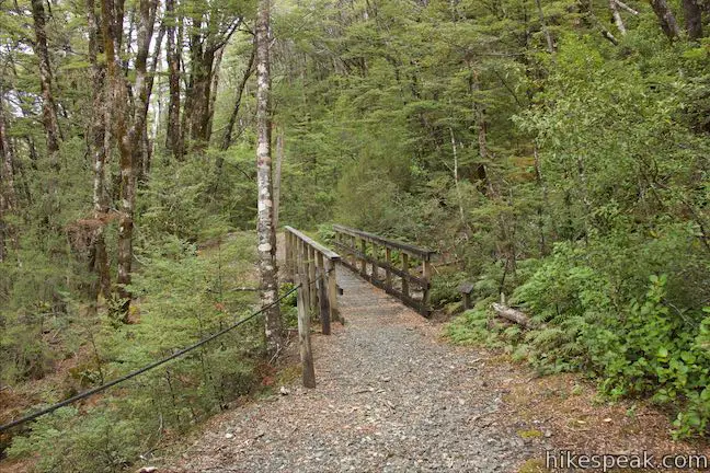
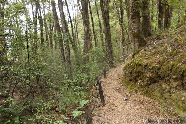
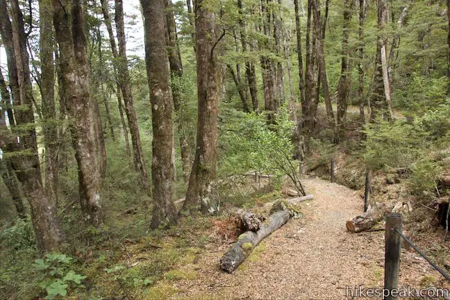
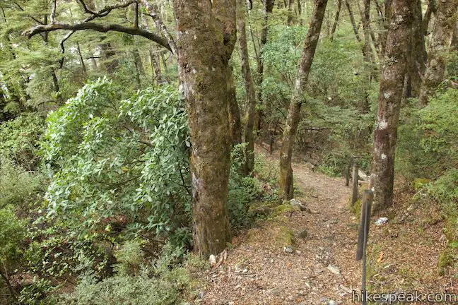
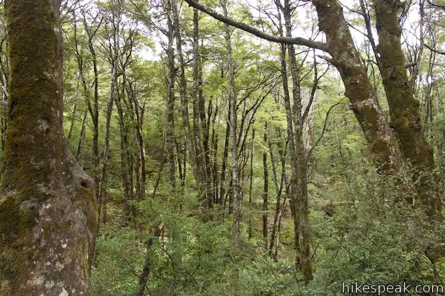
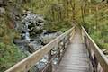
Travel certainly has gotten more comfortable, freeing up time for recreational walks. Continue along the route of the old coach road. To the right, you can look down a slope and through trees toward the campground and the current road to Arthur’s Pass. After 150 meters on the road, watch water drip down a mossy wall on the left where the roadway cuts into the cliffs. The track has a couple short wooden bridges just below small cascades coming down the slope above the old road.
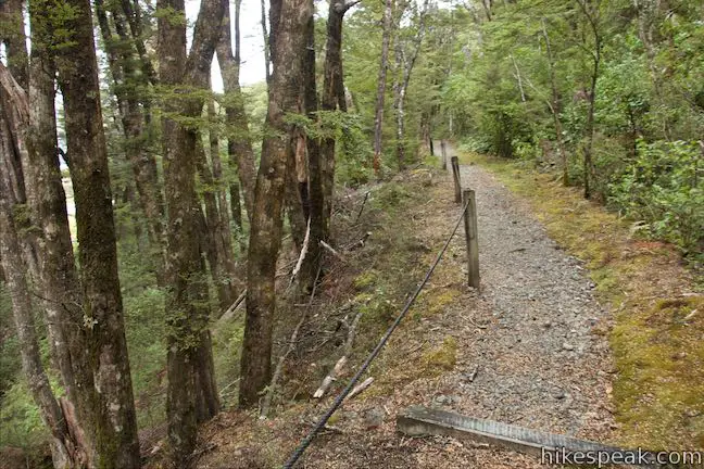
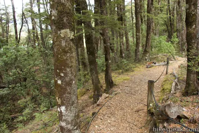
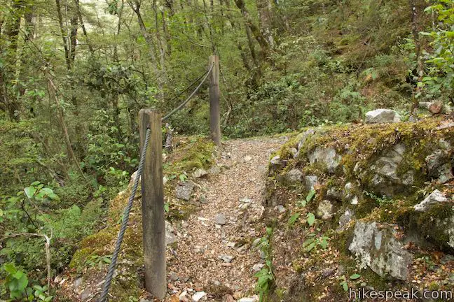
After about 600 meters of hiking, you will come to a junction. This is the start of the small loop at the north end of Old Coach Road Walk. The track to the right goes down a switchback and across a wooden footbridge, reaching a junction at the other side of the loop after 80 meters. Proceeding straight, it is a 150-meter long walk to that junction at the other side of the loop. The walk leaves the old roadbed after 80 meters and descends a switchback to the second junction. The small loop on Old Coach Road Walk has rope handrails. The map of the track at Greyneys shelter explains why:
Focus your senses. This section of the track is roped. Try walking with your eyes shut!
If you do close your eyes and walk along using the ropes, you’ll probably notice the sound of traffic on SH 73 even more, which is pervasive throughout the hike.
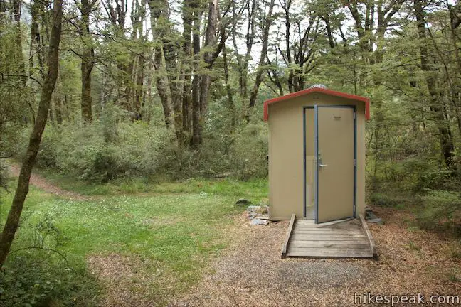
From the second junction, you could hike south for 1/3 of a kilometer to return to Greyneys Shelter. This part of the track goes through the edge of the forest by the road and actually takes you across a clearing right next to the road. The track passes the campground toilet just before returning to the shelter. By using this section of the walk, you’ll complete the loop after 1 or 1.07 kilometers, depending on whether you took the shorter or longer route around the loop. You may find it preferable to skip this last piece of the track, go all the way around the small loop and head back along the old coach road the way you came. This version of the hike is 1.4 kilometers round trip and seems like the best option.
Old Coach Road Walk would make a nice morning or evening stroll for those staying at Greynes Shelter Campground. Those traveling along SH 73 would probably find their time better spent elsewhere. Dogs and bikes are not allowed. Arthur’s Pass National Park is free to visit and does not have an entrance fee. No permit is required for Old Coach Road Walk, so get out and enjoy!
Directions to the Trailhead
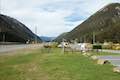
- From Sheffield (which is just over 50 kilometers west of Christchurch), take State Highway 73 northwest for 86.3 kilometers (27.5 kilometers past Lake Pearson / Moana Rua Wildlife Refuge).
- Find a turnout for Greyneys Shelter Campground on the left.
- From Greymouth, on the west coast, drive south on State Highway 6 for 17 kilometers to Kumara Junction.
- Turn inland on SH 73 and drive 83.4 kilometers southeast.
- Find the campground and walk on the right, 6 kilometers past Arthur's Pass Village.
Trailhead Location
Trailhead address: State Highway 73, Arthur’s Pass Village, Canterbury, 7875, New Zealand
Trailhead coordinates: -42.9843, 171.5906 (42° 59′ 03.47″S 171° 35′ 26.15″E)
You may also view a regional map of surrounding New Zealand tracks, campgrounds, and lodging.


 | Millennium Walk to Avalanche Creek Waterfall This 500-meter round trip walk goes from Arthur's Pass National Park Visitor Centre to a bridge and viewpoint below a waterfall on Avalanche Creek as it approaches Arthur's Pass Village. |
 | Devils Punchbowl Falls This 2-kilometer round trip hike ascends to a viewing platform near the base of an impressive waterfall that should be a top priority for Arthur's Pass National Park visitors. |
 | Arthur's Pass Village to Bridal Veil Falls Lookout This 1.8 kilometer round trip hike up Arthur's Pass Walking Track takes a gradual approach to a viewpoint with a perspective of Bridal Veil Falls and surrounding mountains. |
 | Jacks Hut to Bridal Veil Falls Lookout This 2.5-kilometer round trip hike on Arthur's Pass Walking Track crosses beech forests and alpine shrublands, dropping across a canyon to arrive at a view of Bridal Veil Falls. |
 | Bealey Chasm Walk This short walk passes through moss-covered beech trees to a bridge over Bealey River where it slips through a ravine. |
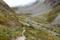 | Otira Valley Track This 3.8-kilometer round trip hike ventures up a valley on the north side of Arthur's Pass, finding a footbridge over Otira River and broad views of surrounding mountains. |
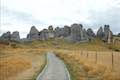 | Kura Tawhiti / Castle Hill Conservation Area This 2 to 3-kilometer hike explores a fascinating jumble of limestone boulders close to Arthur's Pass National Park. |
 | More trails in New Zealand Explore other destinations for walking and hiking (as well camping and lodging) in New Zealand. |
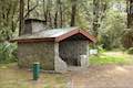 | Greyneys Shelter Campground Camping is free around this small 3-wall stone shelter along State Highway 73 south of Arthur's Pass Village. |
 | Avalanche Creek Shelter Campground This 10-site campground in Arthur's Pass Village has a large shelter and easy access to the park visitor center and nearby hiking tracks. |
 | Arthur's Pass Alpine Motel This lodging option in Arthur's Pass Village offers self-contained cabin accommodations that are convenient for visiting Arthur's Pass National Park. |
 | Lake Pearson (Moana Rua) Campground This campground has about 20 sites along the shore of a peaceful lake between mountains in the Canterbury Region near Arthur's Pass National Park. |
- Old Coach Road Walk on arthurspass.com (opens in a new tab)
- Old Coach Road Walk on tracks.org.nz (opens in a new tab)
- The Department of Conservation webpage for Short Walking Tracks (opens in a new tab)
- The Department of Conservation webpage for Greyneys Shelter Campground (opens in a new tab)
- The Department of Conservation brochure for Arthur's Pass National Park (opens in a new tab)
- Arthur's Pass National Park on wikipedia.org (opens in a new tab)
- Arthur's Pass National Park on newzealand.com (opens in a new tab)
- The Department of Conservation webpage for Arthur's Pass National Park (opens in a new tab)
Common Questions about Old Coach Road Walk in Arthur’s Pass National Park
- Is the trail open?
- Yes. You should expect to find that Old Coach Road Walk is open. There are no recent reports of trail closures. If you discover that the trail is closed, please help your fellow hikers by reporting a closure.
- Is this trail free to access?
- Yes, Old Coach Road Walk is free to access. No entrance fee, pass, or permit is required. If you discover that access rules have changed, please provide feedback on your experience.
- How much time does this hike take?
- It takes approximately 30 minutes to hike Old Coach Road Walk. Individual hiking times vary. Add extra time for breaks and taking in the views.
- How long is this hike?
- The hike to Old Coach Road Walk is 1 - 1.4 kilometers / 0.6 - 0.9 miles (out and back return) with 15 meters / 50 feet of elevation change.
- Are dogs allowed on this trail?
- No, dogs are likely not allowed on Old Coach Road Walk. The trail is primarily open to hikers.
- Is Old Coach Road Walk good for kids?
- Yes, this hike is likely suitable for children. It is relatively short (0.9 miles) with manageable elevation gain.
- Where is the trailhead located?
- The trailhead for Old Coach Road Walk is located in Arthur's Pass Village, Canterbury.
Trailhead Address:
State Highway 73
Arthur's Pass Village, Canterbury 7875
Trailhead Coordinates:
-42.9843, 171.5906 - What are the driving directions to the start of the hike?
To get to the trailhead: From Sheffield (which is just over 50 kilometers west of Christchurch), take State Highway 73 northwest for 86.3 kilometers (27.5 kilometers past Lake Pearson / Moana Rua Wildlife Refuge). Find a turnout for Greyneys Shelter Campground on the left.
From Greymouth, on the west coast, drive south on State Highway 6 for 17 kilometers to Kumara Junction. Turn inland on SH 73 and drive 83.4 kilometers southeast. Find the campground and walk on the right, 6 kilometers past Arthur's Pass Village.
View custom Google Maps directions from your current location.
- Are there other trails near Old Coach Road Walk?
- Yes, you can find other nearby hikes using the Hikespeak Hike Finder Map.

Go the extra miles...
Submit a rating of this hike to go with your comment. Contribute to the average trail rating.