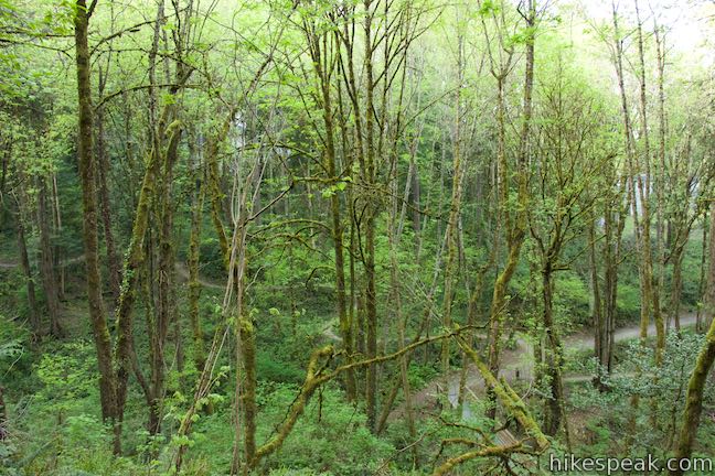
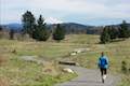
Marquam Nature Park is walking distance from downtown Portland, but is tucked away and remains less well known than other parks in the West Hills. Marquam Nature Park provides ample woodland solitude, despite its proximity to downtown.
To explore most of this underused parcel of the West Hills near OHSU, create a a 4.25-mile loop with 500 feet of elevation change that combines multiple trails:
- Shelter Loop Trail
- Marquam Trail
- Flicker Trail
- Towhee Trail
- Upper Marquam Hill Trail
The loop is oddly shaped and nearly connects at two points along the way, allowing the hike to be shortened to 1.3 or 3 miles round trip. Commit to any distance for a nice walk in the woods at Marquam Nature Park.
How big is Marquam Nature Park? Portland Parks and Recreation lists the size of their park at 178.25 acres while Friends of Marquam Nature Park puts the size at over 200 acres, making it Portland’s third largest municipal park. Marquam Nature Park is not as heavily visited as nearby Washington Park or Forest Park, and is concealed by neighborhoods that might make it harder to discover.
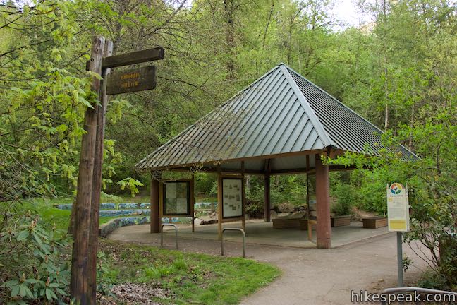
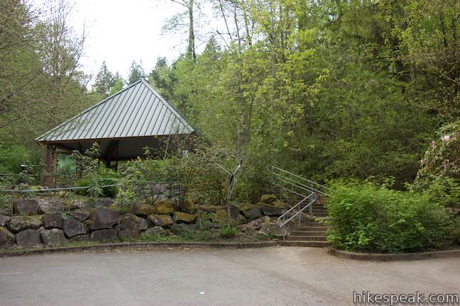
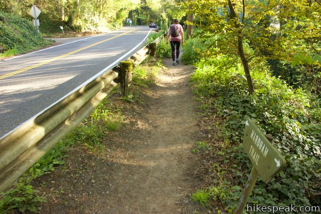
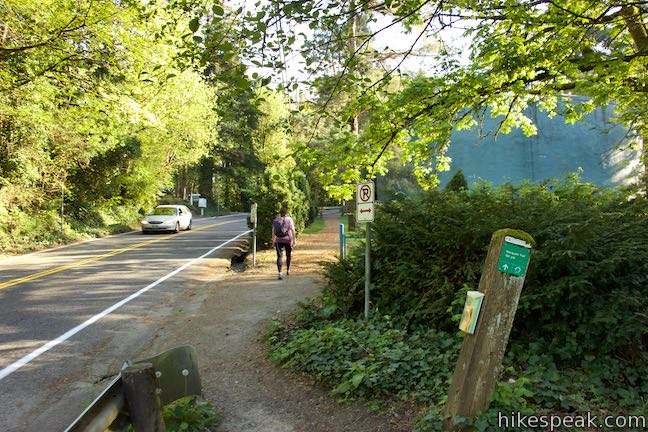
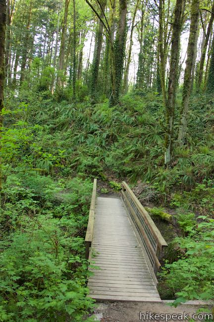
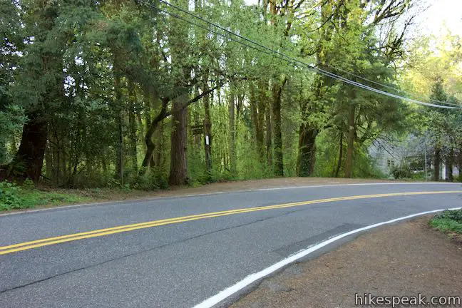
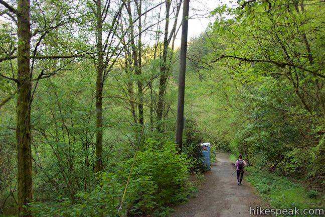
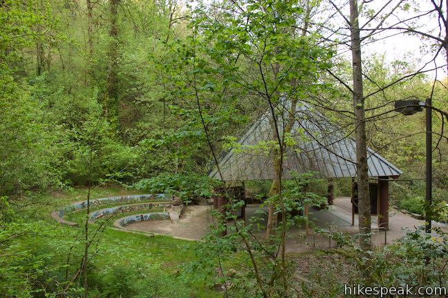
Marquam Nature Park can be accessed from several different trailheads, but the most obvious place to begin hiking is from Marquam Shelter off SW Sam Jackson Park Road. Parking is available below the large pavilion at Marquam Shelter, where the loop begins.
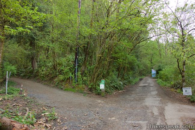
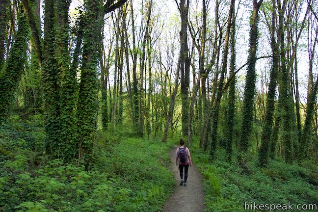
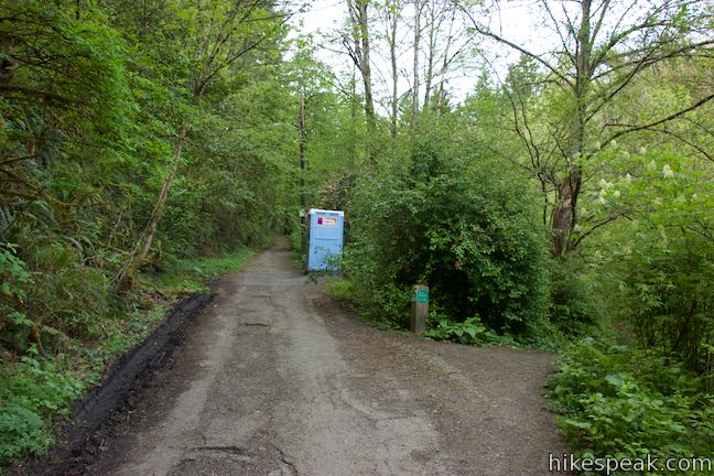
Walk up the paved trail on left side of the parking lot and immediately hit a junction at the start of Shelter Loop Trail, just across from Marquam Shelter. Shelter Loop Trail goes in two directions, straight ahead and to the left. You can go either way, but the instructions that follow assume that you turn left at this first junction.
Find a list of turn-by-turn directions through each junction on this loop at the end of this write-up.
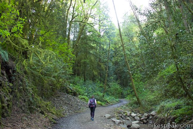
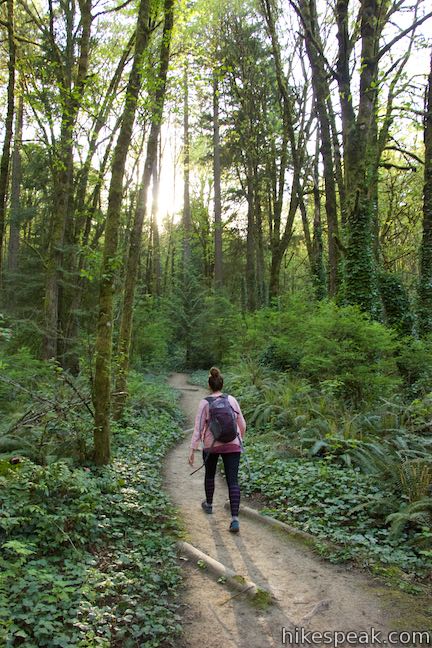
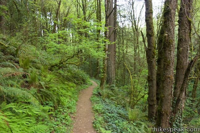
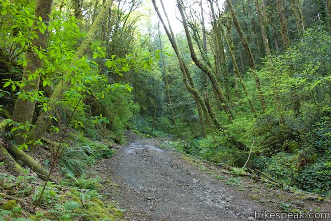
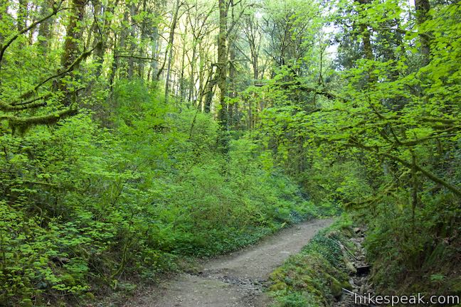
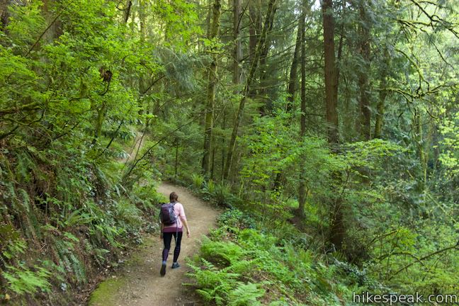
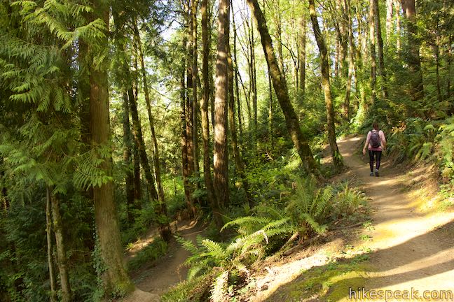
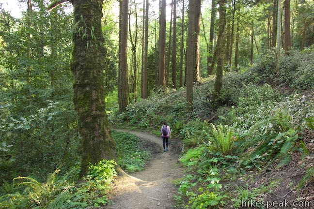
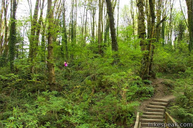
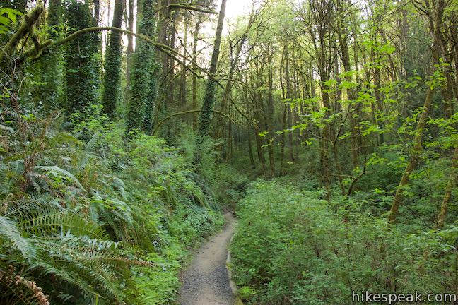
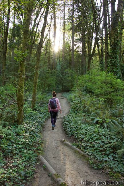
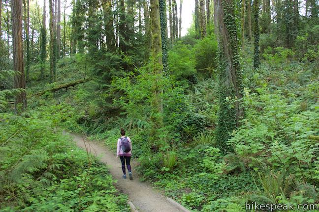
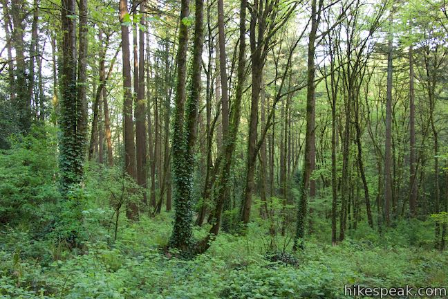
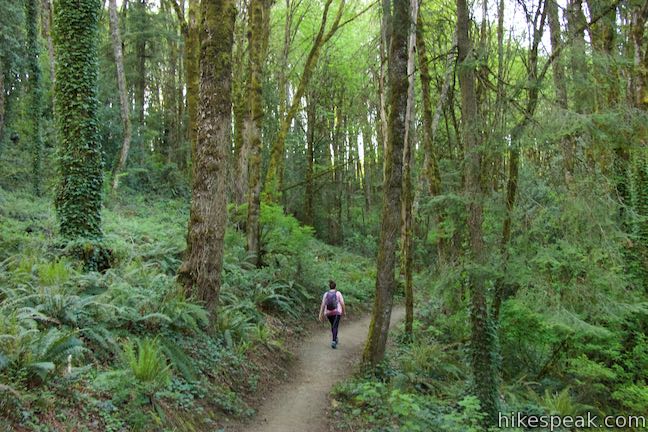
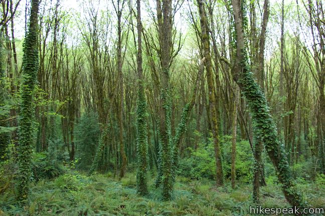
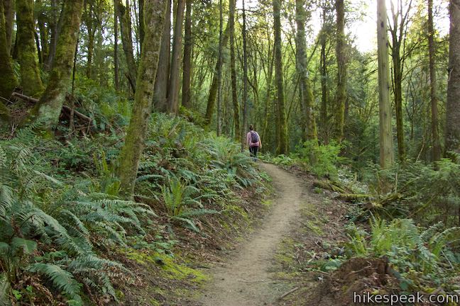
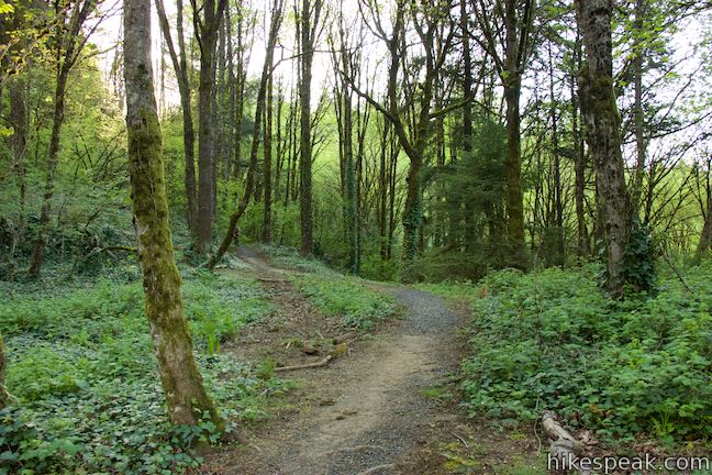
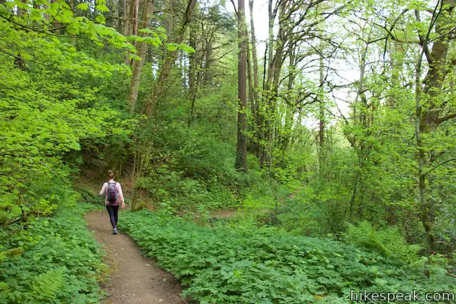
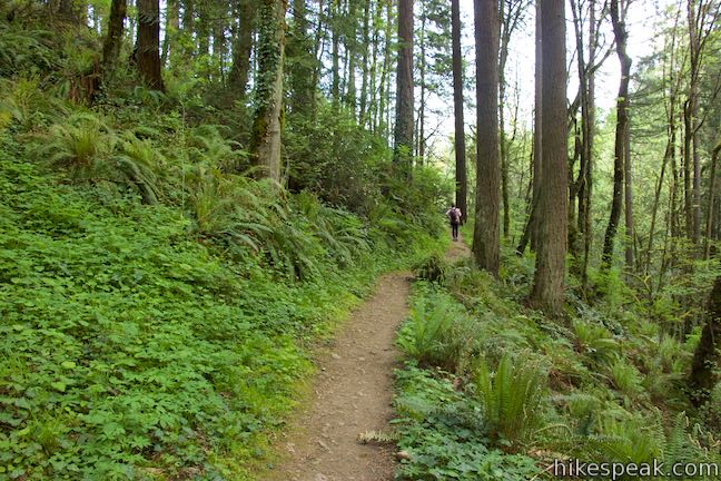
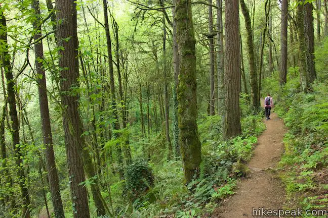
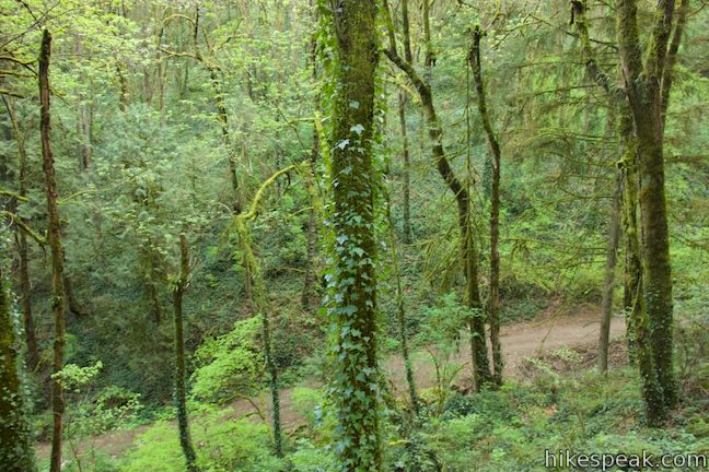
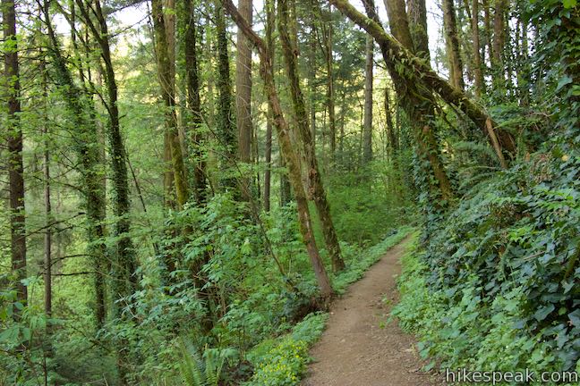
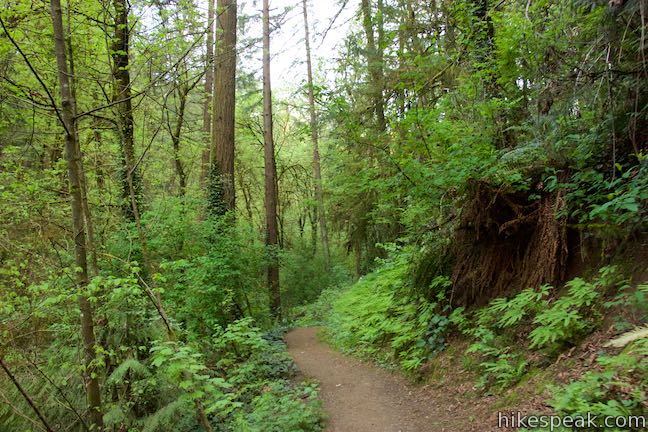
Ascend the bottom of a densely wooded canyon, passing tall trees and banks of ferns and ivy. Ivy is an invasive plant that is prevalent throughout the hike, covering the hills and wrapping its way up trees.
After a tenth of a mile, pass a narrow trail on the left named Conner Trail that ascends to OHSU and is part of Portland’s 4T Trail. Continue up the wide trail, gaining more elevation up the bottom of the canyon.
At 0.3 miles from the start, come to a junction with Marquam Trail. For either of the longer hikes, stay to the left to proceed up the canyon on Marquam Trail.
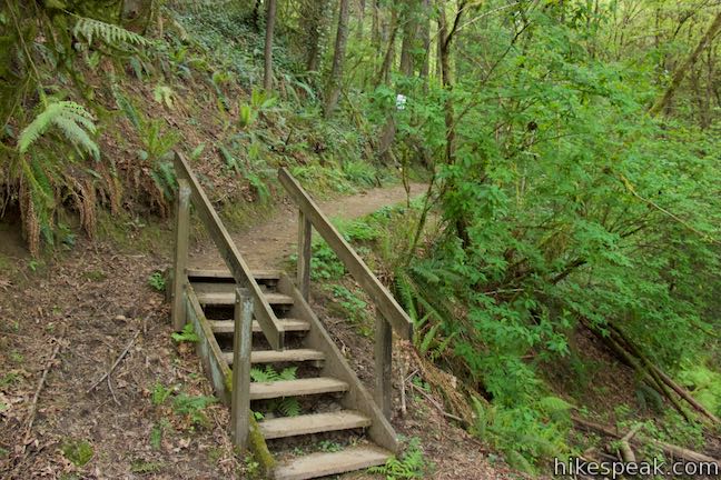
- If you want to hike the short, 1.3-mile loop, turn left here, taking a short flight of wooden steps to reach a junction with Upper Marquam Hill Trail, which the longer loop comes to later. Bear right and take Marquam Trail to Shelter Loop Trail. Turn right and make your way back to Marquam Shelter to complete the shorter loop.
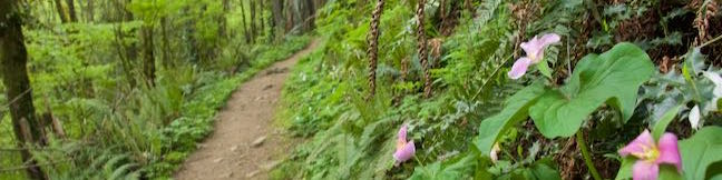
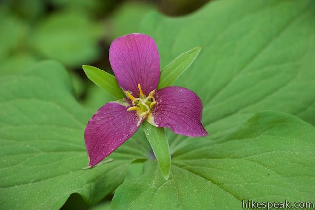
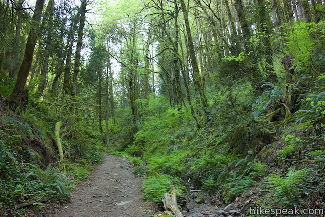
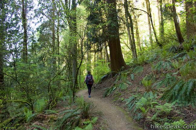
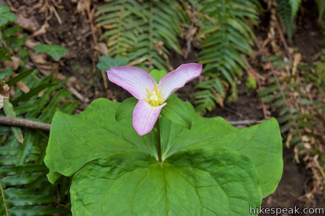
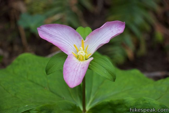
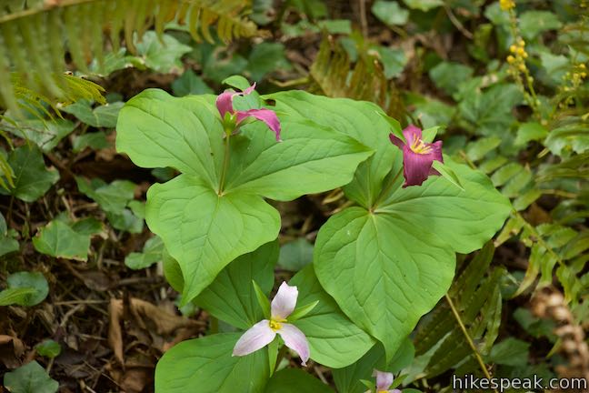
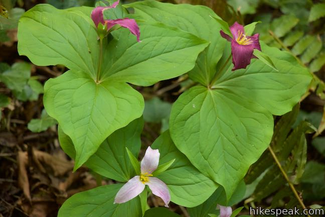
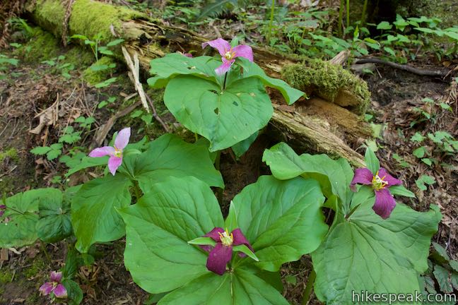
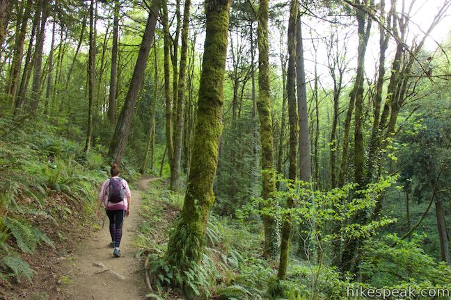
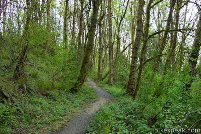
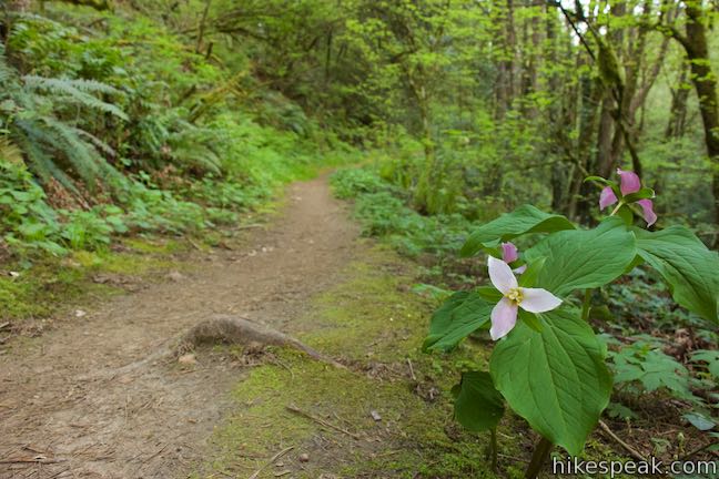
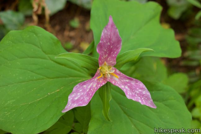
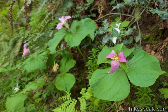
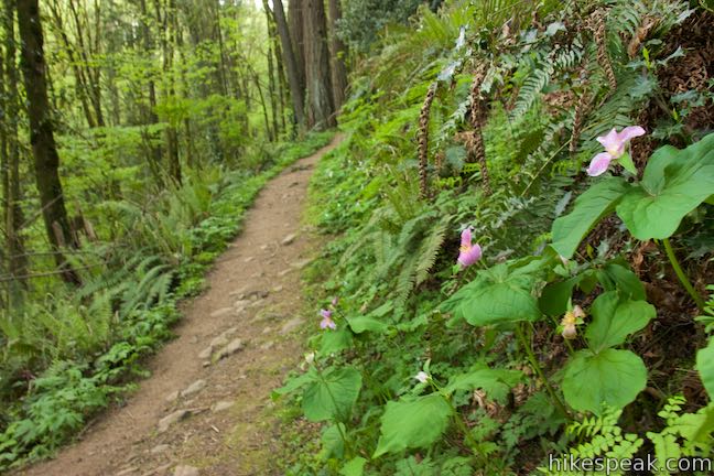
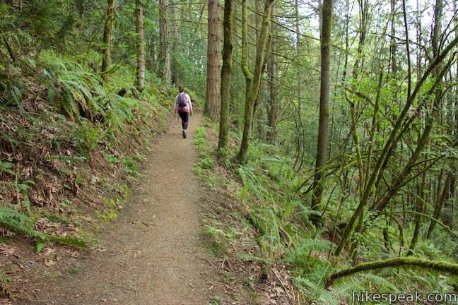
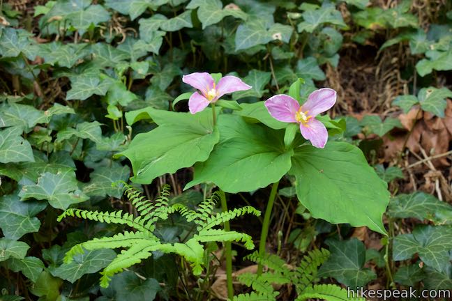
Just past the junction, Marquam Trail makes a sharp left turn, leaving the floor of the canyon to launch up a string of switchbacks. The dirt single track ascends a forest-covered slope toward Marquam Hill Road. In the springtime, you’ll find trillium blooming along this section of the trail, and throughout the rest of the loop. This lovely three-pedal flower ranges in color from stark white to dark magenta and each flower seems to look a little different.
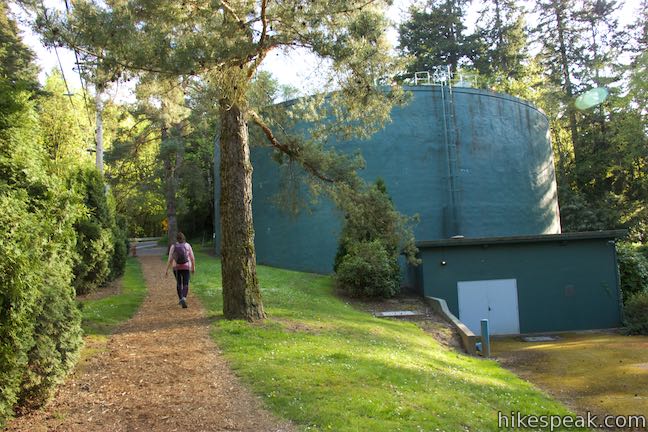
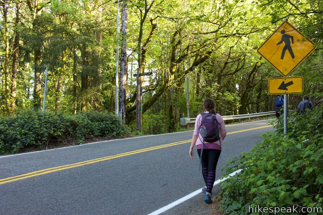
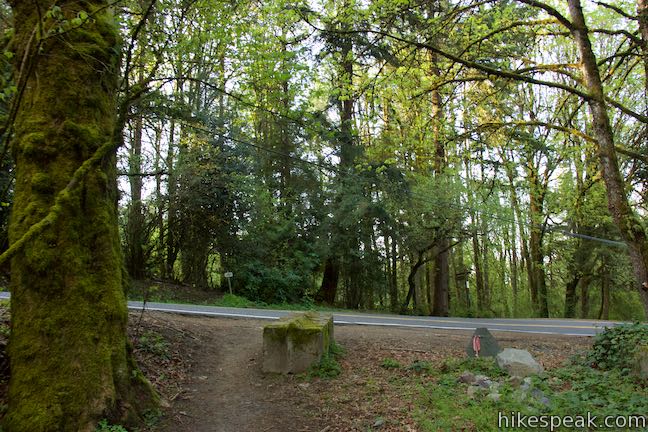
Approach Marquam Hill Road after 0.3 miles of switchbacks and bear right, following signs for Marquam Trail and SWTrails 1. Walk along the road for a short distance toward a large holding tank. Pass the tank on the left and then carefully cross the road to the next section of Marquam Trail, 2/3 of a mile from the start of the hike.
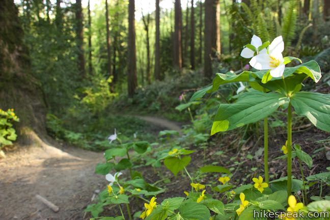
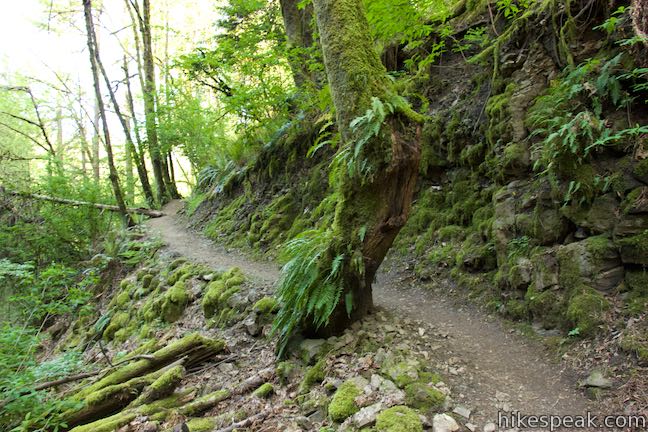
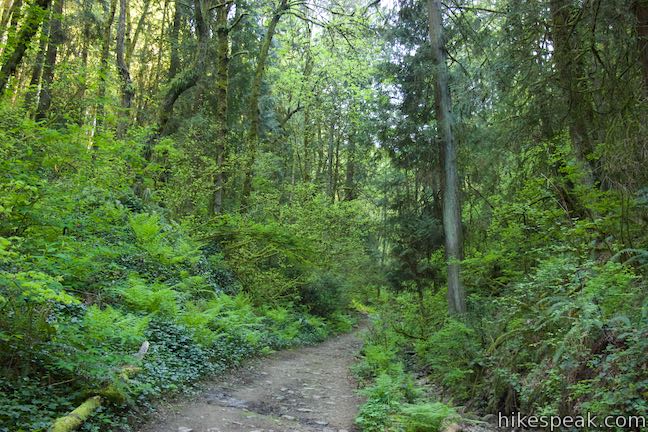
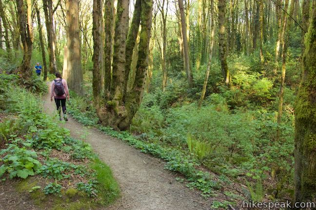
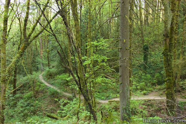
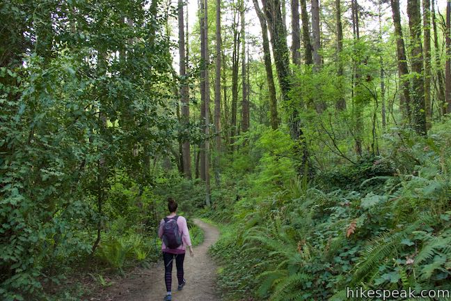
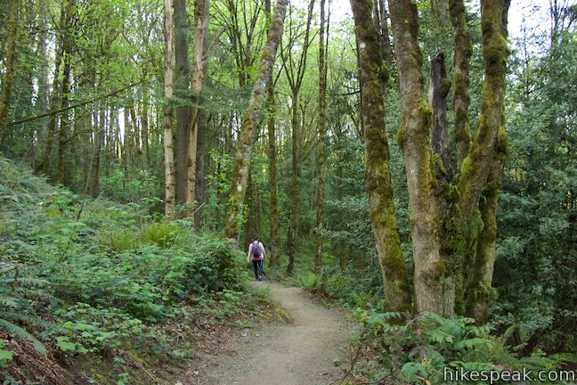
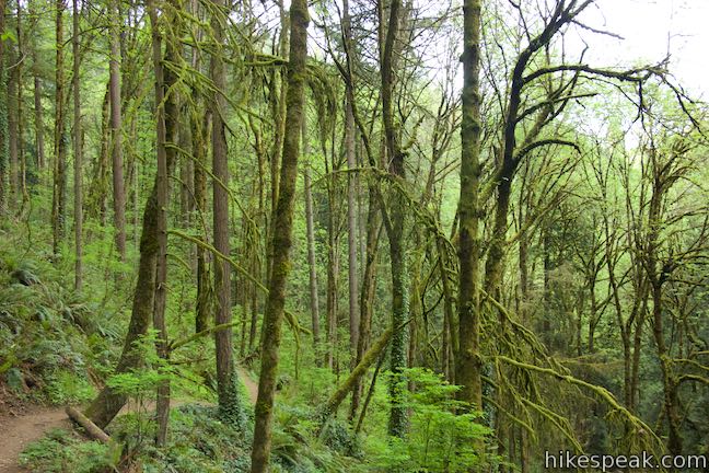
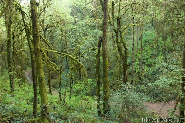
Marquam Trail drops down the hillside on the other side. Ferns and trillium cover the ground while moss and ivy cling to tree trunks.
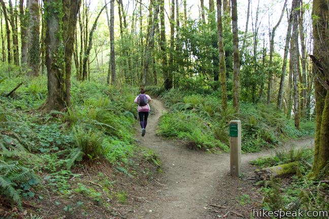
After 0.85 miles, come to a spread out four-way junction with Flicker Trail. The trail to the left goes to the 12th Street Trailhead for Marquam Nature Park, accessing a neighborhood that is visible through the trees. Turn right and come to the second part of this 4-way junction. Here you will turn to the left on to the next part of Marquam Trail for the longer loop.
- If you only want to hike the 3-mile loop, turn right on Flicker Trail and cross a footbridge. Stroll up to Towhee Trail and turn right (the longer loop takes an extra 1.25 miles to reach this junction). Hike up to a road crossing and proceed down Upper Marquam Hill Trail. Meet the route of the 1.3-mile loop and turn left on Marquam Trail. Make the following right on Shelter Loop Trail to return to Marquam Shelter.
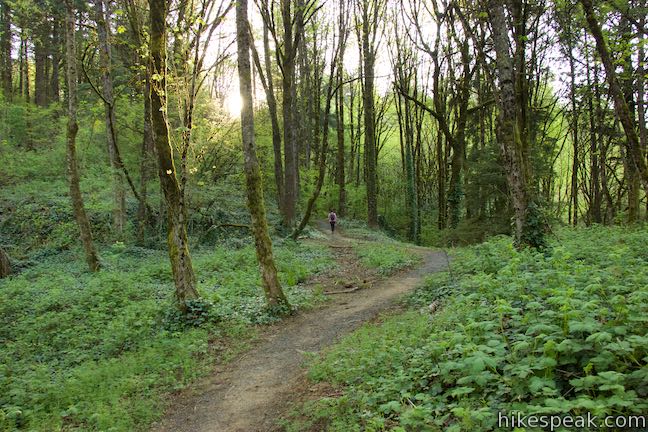
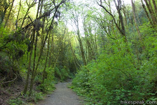
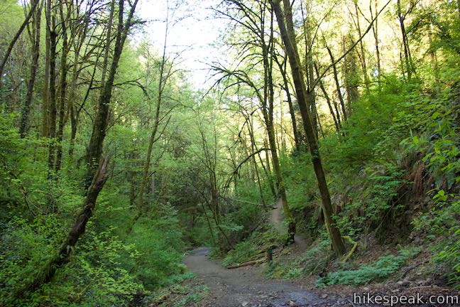
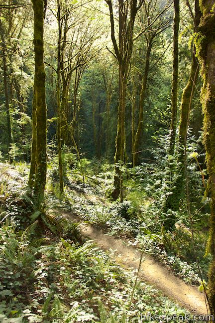
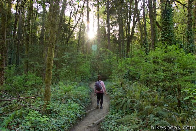
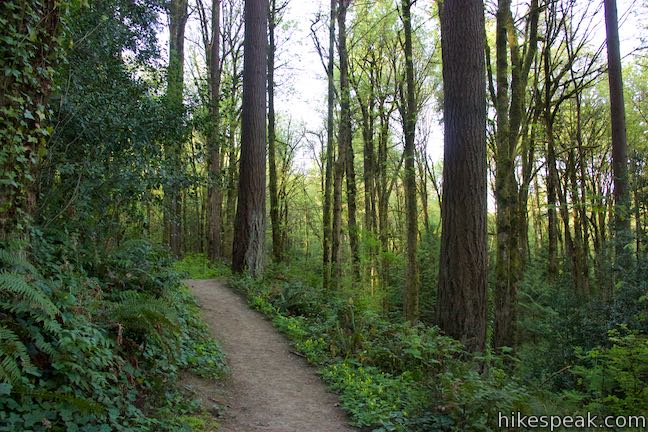
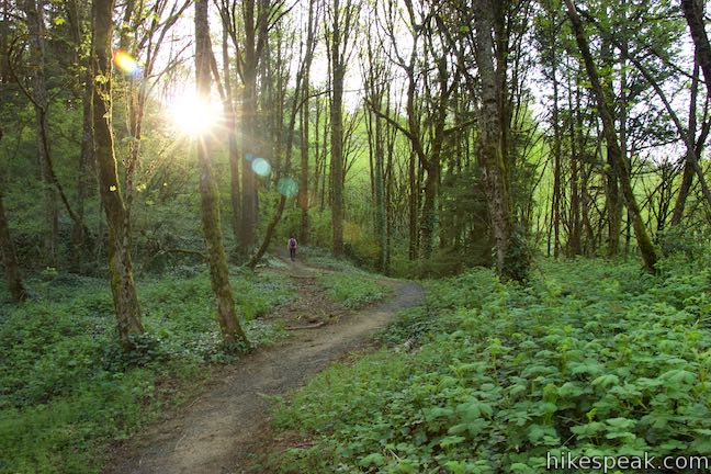
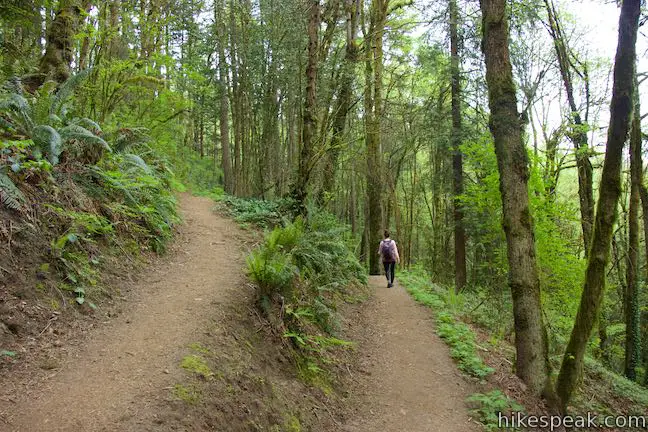
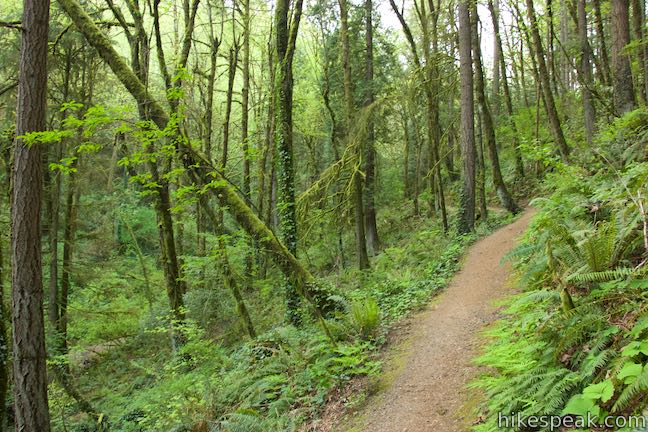
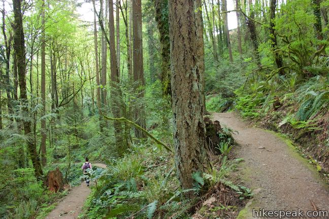
Descending from Flicker Trail, Marquam Trail crosses several gullies and ridges. Sunlight slips through the trees in more loosely packed areas of the forest where wildflowers are more abundant.
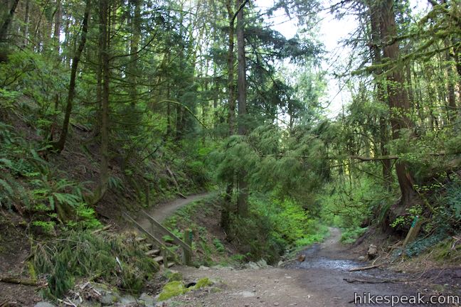
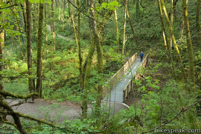
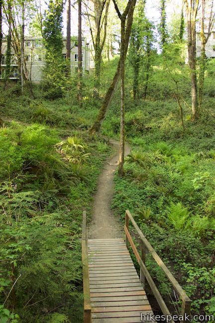
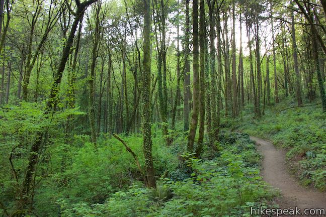
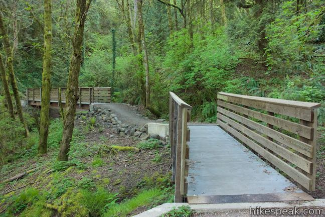
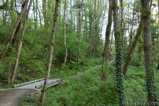
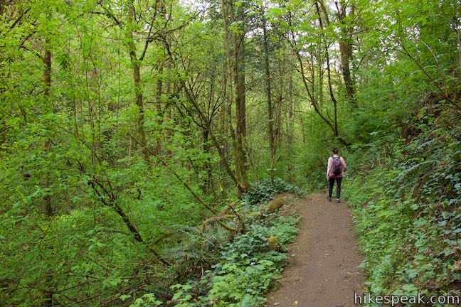
Cross a wooden bridge over a small stream and slip through more forest. Descend a ravine and then go through a horseshoe bend on a ridge. Other than occasional trail runners and dog walkers, you will probably have the single track to yourself. The hum of the freeway is the only real reminder that you’re in a metropolitan area.
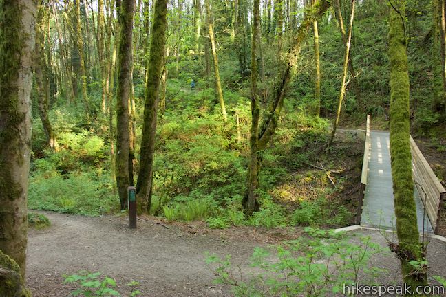
After another footbridge, come to a junction with the south end of Flicker Trail, 1.55 miles from the start. Straight ahead, Marquam Trail descends for 0.2 miles to Terwilliger Parkway, where there is another trailhead. Unless you wish to exit the park there, turn right and begin up Flicker Trail.
This is the south end of the 4.25-mile loop. Take Flicker Trail west for a stretch, rising through forest to a junction with Warbler Trail, halfway between the junctions with Marquam Trail and Towhee Trail. Warbler Trail descends for 0.4 miles to a trailhead on Fairmont Boulevard. Skip this spur and continue on Flicker Trail.
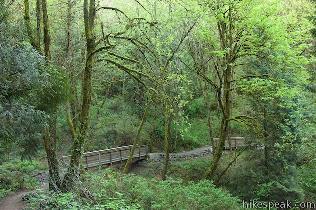
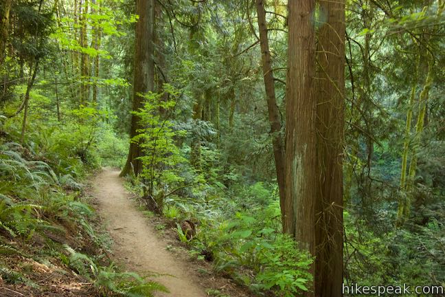
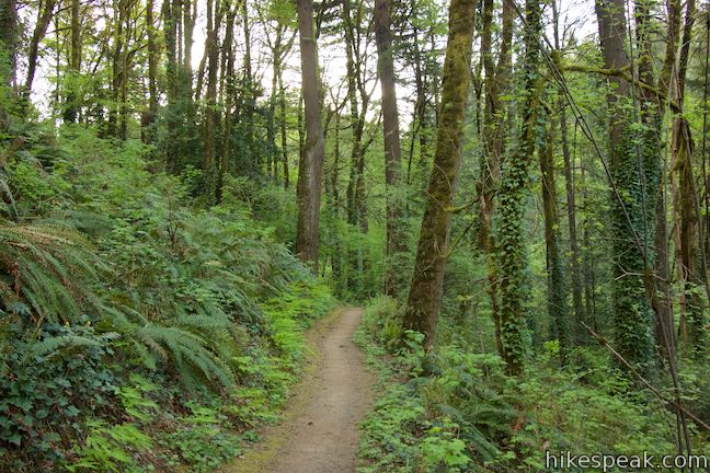
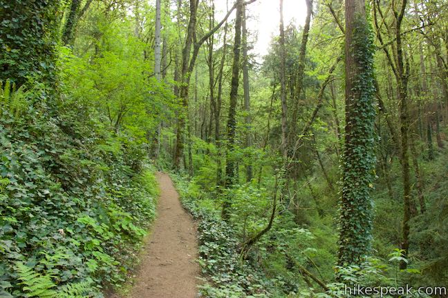
Flicker Trail crosses through forest, exploring the same area that you went through on Marquam Trail, but at a higher elevation. Footbridges along the trail keep your feet dry at a couple small creek crossings.
After 0.6 miles on Flicker Trail, come to a junction with Towhee Trail, which rises to the left. Straight ahead, Flicker Trail descends to a bridge by the junction with Marquam Trail that you crossed 1.3 miles earlier (at the potential turn for the 3-mile loop).
Turn left up Towhee Trail. A sign here puts the distance to the “upper end of the trail” at 0.3 miles. The trail wraps up a hillside and come to a marker announcing the upper end of trail. This spot approaches the loop’s highest elevation, but is not the end of the trail, which is up at Marquam Hill Road across from Upper Marquam Hill Trail.
Leaving the “upper end” of the trail, Towhee Trail goes west toward a draw in the hillside, turning downhill for a bit. Crossing the back of the draw, the trail curves north, wrapping around one more draining to rise to Marquam Hill Road at the high point of the hike, 2.7 miles from Marquam Shelter.
Cross the road and find the top of Upper Marquam Hill Trail to the right, labeled with an arrow for Marquam Shelter. Turn down this trail to continue the loop. Upper Marquam Hill Trail explores the top of the canyon that you ventured up at the beginning of the hike.
Descend a slope toward a small bridge over a stream. Houses will be visible above the left side of the trail.
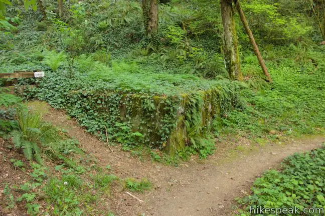
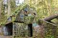
Upper Marquam Hill Trail curves to the right and heads north, using a few switchbacks to drop into the canyon as it progresses in that direction. At 0.4 miles below the road, pass a bit of an old concrete wall that’s been grown over by moss and ivy. In another eighth of a mile, a bench positioned at a switchback to the right offers a nice spot to take a break.
Upper Marquam Hill Trail then drops to a junction with Marquam Trail. To the right, Marquam Trail goes down to a nearby junction with Shelter Loop Trail in the bottom of the canyon. Turn left to proceed with the loop. The hike has another 0.95 miles left, going around a ridge to explore a ravine to the north.
- Those who opted for the 1.3-mile loop, will reach this junction shortly after leaving Shelter Loop Trail (0.3 miles from the start) and bear right to take Marquam Trail to the next section of Shelter Loop Trail.
Hike north on this second section of Marquam Trail, crossing a hillside through more verdant forest. While there are no grand views on this hike, the trees offer plenty to look at. Curving to the left, Marquam Trail aims west toward Council Crest Park. Unless you wish to extent the hike by exploring trails in that direction, make your next right down Shelter Loop Trail.
Shelter Loop Trail doubles back in the opposite direction crossing a slope closer to the floor of the ravine. Sunnyside Trail is in view on the opposite side of the ravine, and could be used for a slightly longer loop.
Come down a short flight of wooden steps and bear right onto a wider trail that leads back to Marquam Shelter. Pass some old concrete walls on the left, followed by a junction with Sunnyside Trail. Just after that you will return to the junction at the very beginning of this loop. The section of Shelter Loop Trail that you originally hiked up will be on the right now. Turn left to walk over to Marquam Shelter or proceed straight down to the parking lot.
The basic directions for this loop are:
- Go up the road on the left side of the parking lot and make the first left turn up Shelter Loop Trail, across from Marquam Shelter (0 miles)
- Hike straight past Connor Trail, which ascends to the left (0.1 miles)
- Meet Marquam Trail and stay to the left for the longer loop or turn right up a short staircase for the 1.3-mile loop (0.3 miles)
- Rise to Marquam Hill Road and bear right along the road (0.6 miles)
- Turn left to cross Marquam Hill Road (0.66 miles)
- Go through a 4-way junction with Flicker Trail by making a right followed by an immediate left to continue down Marquam Trail or turn right to cross a footbridge and ascend to Towhee Trail for the 3-mile loop (0.85 miles)
- Turn right on Flicker Trail, leaving Marquam Trail (1.55 miles)
- Stay to the right past Warbler Trail (1.85 miles)
- Turn left up Towhee Trail before Flicker Trail descends across a footbridge to the earlier junction with Marquam Trail (2.15 miles)
- Cross Marquam Hill Road at the high point of the hike, find Upper Marquam Hill Trail to the right, and take it (2.7 miles)
- Descend to a junction just above Shelter Loop Trail and turn left onto Marquam Trail before actually meeting the first trail you took up the bottom of the canyon (3.3 miles)
- Turn right down a new section of Shelter Loop Trail, leaving Marquam Trail (3.75 miles)
- Go down a short wooden staircase and bear right on a wider trail (4.15 miles)
- Pass Sunnyside Trail, which parts on the left (4.2 miles)
- Pass the shelter and the junction at the start of the loop and return to the parking lot (4.25 miles)
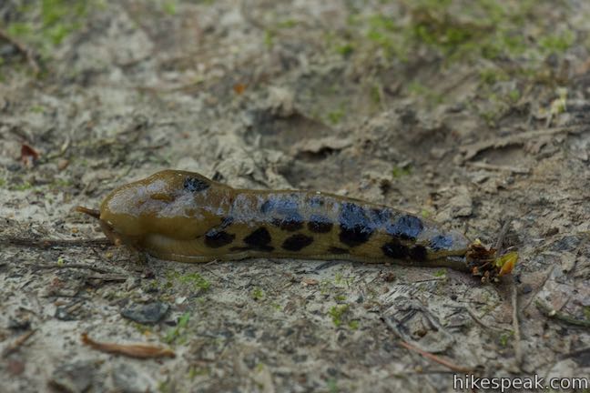
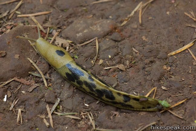
Marquam Nature Park offers a relaxing escape from Portland without leaving the city. Watch your step! Banana slugs can be found all over these trails.
The short hike on Shelter Loop Trail and Marquam Trail is 1.3 miles round trip with 225 feet of elevation change. The medium length loop is 3 miles long with 500 feet of elevation change, skipping Flicker Trail and the south end of Marquam Trail. The full loop described here is 4.25 miles long and also has 500 feet of elevation change.
Dogs are welcome on trails in Marquam Nature Park but bikes are not. Marquam Shelter has a lot with 2-hour parking spots and additional roadside parking is available. Marquam Nature Park does not have an entrance fee or parking fee and no permit is required for this hike, so get out and enjoy!
Directions to the Trailhead
- From Burnside Street in downtown Portland, drive south on Broadway for 1.6 miles.
- Cross over Interstate 405 and use the right lanes to turn left and stay on Broadway.
- Make the next right onto SW 6th Avenue.
- After two blocks, 6th Avenue crossed SW Sheridan Street and becomes Terwilliger Boulevard.
- In another 0.3 miles, continue straight onto SW Sam Jackson Park Road at an intersection with a traffic light.
- After 0.2 miles, as the road makes a horseshoe bend to the left, turn right onto a short paved road (Marquam Street) that leads to a parking area in front of Marquam Shelter.
Trailhead Location
Trailhead address: Marquam Nature Park, SW Marquam Street, Portland, OR 97201
Trailhead coordinates: 45.50276, -122.6916 (45° 30′ 09.93″N 122° 41′ 29.75″W)
View Marquam Nature Park in a larger map
Or view a regional map of surrounding Oregon trails and campgrounds.


 | George Himes Trail This short lollipop loop ascends into Portland's West Hills for a woodland walk with a view of Mount Hood. |
 | Lower Macleay Trail to Stone House This 1.8 to 2-mile hike starts by following Balch Creek to fern-covered ruins and can finish with a loop that exits Forest Park and passes through the Willamette Heights Neighborhood in Northwest Portland. |
 | Lower Macleay Park to Pittock Mansion This 5.4-mile hike in Forest Park takes Lower Macleay Trail to the Stone House ruins and ascends Wildwood Trail to Pittock Mansion, bagging a big view over Portland. |
 | Cornell Road to Pittock Mansion This 2.5-mile hike on Wildwood Trail and Upper Macleay Trail in Forest Park goes up a wooded hillside to Pittock Mansion, a landmark with panoramic views over Portland. |
 | Holman Lane – Wildwood Trail – Birch Trail Loop This 2.7-mile loop combines three trails in Forest Park for a refreshing woodland walk. |
 | Dogwood Trail - Alder Trail Loop This 2.8-mile hike uses 5 trails (Keil Trail, Dogwood Trail, Leif Erikson Drive, Alder Trail, and Wildwood Trail) to form a lovely woodland loop in Forest Park. |
 | Trillium Trail in Tryon Creek State Natural Area This short nature trail is packed with plant-identifying panels as well as benches and viewing platforms. |
 | Two-Mile Loop in Tryon Creek State Natural Area Combine Old Main Trail, Red Fox Trail, Cedar Trail, Middle Creek Trail, and Maple Ridge Trail to loop through rolling woodland and across 3 bridges. |
 | Powell Butte This 2.15-mile lollipop loop combines Mountain View Trail and Summit Lane to explore the top of Powell Butte and its big views from Southeast Portland. |
 | Trails in Oregon Explore more hikes in Oregon outside Greater Portland. |
Common Questions about Marquam Trail Loop in Marquam Nature Park, Portland
- Is the trail open?
- Yes. You should expect to find that Marquam Nature Park Loop is open. There are no recent reports of trail closures. If you discover that the trail is closed, please help your fellow hikers by reporting a closure.
- Is this trail free to access?
- Yes, Marquam Nature Park Loop is free to access. No entrance fee, pass, or permit is required. If you discover that access rules have changed, please provide feedback on your experience.
- How much time does this hike take?
- It takes approximately 2 hours to hike Marquam Nature Park Loop. Individual hiking times vary. Add extra time for breaks and taking in the views.
- How long is this hike?
- The hike to Marquam Nature Park Loop is a 4.25 mile loop with 500 feet of elevation change.
- Are dogs allowed on this trail?
- Yes, dogs are allowed on Marquam Nature Park Loop. The trail is open to hikers, dogs.
- Where is the trailhead located?
- The trailhead for Marquam Nature Park Loop is located in Portland, Oregon.
Trailhead Address:
SW Marquam Street
Portland, Oregon 97201
Trailhead Coordinates:
45.50276, -122.6916 - What are the driving directions to the start of the hike?
To get to the trailhead: From Burnside Street in downtown Portland, drive south on Broadway for 1.6 miles. Cross over Interstate 405 and use the right lanes to turn left and stay on Broadway. Make the next right onto SW 6th Avenue. After two blocks, 6th Avenue crossed SW Sheridan Street and becomes Terwilliger Boulevard. In another 0.3 miles, continue straight onto SW Sam Jackson Park Road at an intersection with a traffic light. After 0.2 miles, as the road makes a horseshoe bend to the left, turn right onto a short paved road (Marquam Street) that leads to a parking area in front of Marquam Shelter.
View custom Google Maps directions from your current location.
- Are there other trails near Marquam Nature Park Loop?
- Yes, you can find other nearby hikes using the Hikespeak Hike Finder Map.

What is the history of the structure foudations just west of the Marquam shelter. Also, why are there numbered posts up the sunny side trail towards Towee trail?