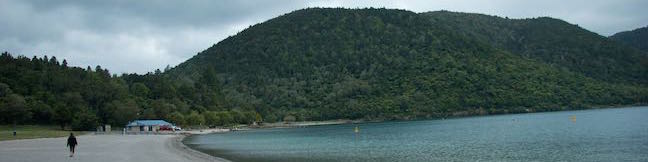
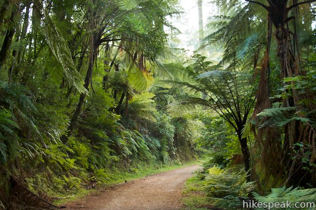
Blue Lake, also know as Lake Tikitapu, is a lovely mountain lake just southeast of Rotorua in the Bay of Plenty region of New Zealand. Blue Lake Track offers a circuit around the lake, passing through native bush to pleasant beaches and scenic viewpoints. The loop is 5.9 kilometers long and extends nicely to 6.15 kilometer (3.8 miles) round trip by grabbing a couple extra views. There is just 40 meters (130 feet) of elevation change along this walk, which is almost entirely easy going. The walk has one good section of stairs leading to a lookout over Blue Lake and its larger neighbor, Green Lake (the views certainly justify the short ascent). Blue Lake Circuit is a fine choice for a soothing sulfur-smell-free hike near Rotorua.
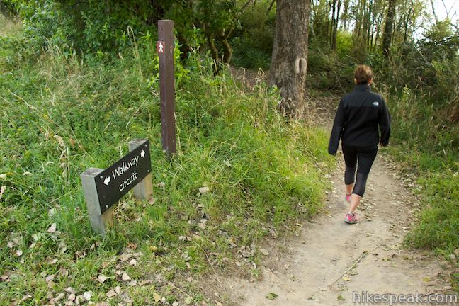
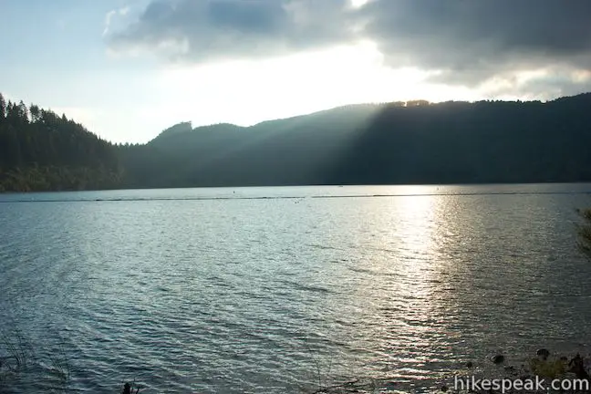
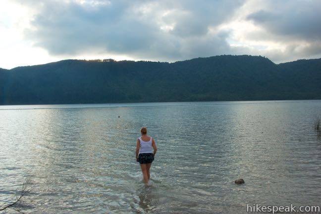
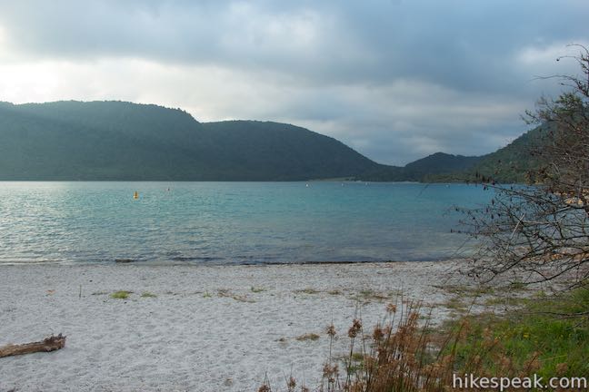
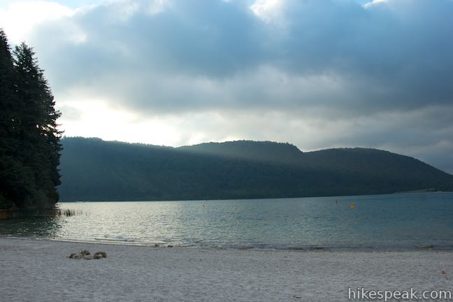
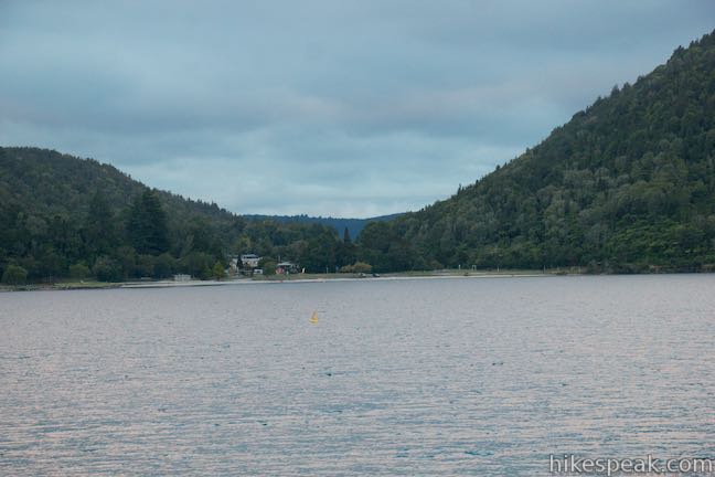
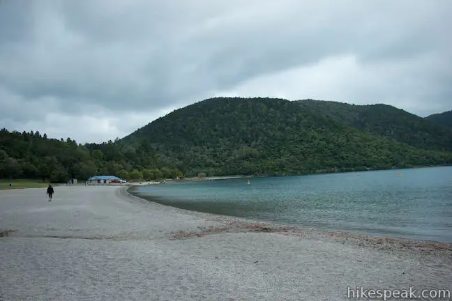
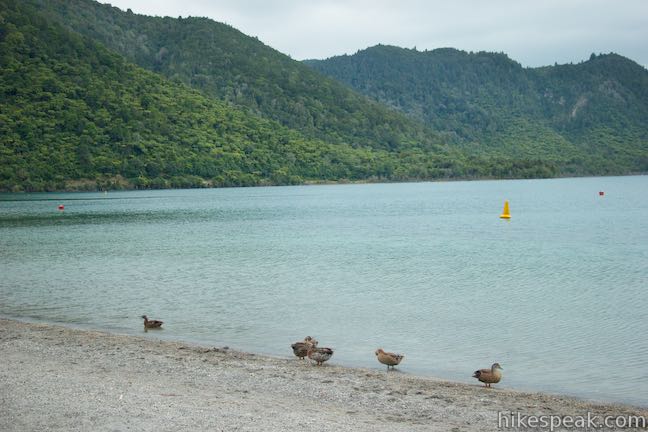
Convenient parking can be found along the north side of the lake as well as near the south end. Coming from Rotorua, you’ll reach the north shore first, so that’s probably where you will begin. Park just off the road by the beach at the northeast corner of the lake. Before setting out, you can lounge on this sandy strip or slip into the lake for a swim. To launch into the circuit around Blue Lake, take the path east along the beach. In a short distance, the track turns south and joins Tarawera Road, which you will walk along for 450 meters.
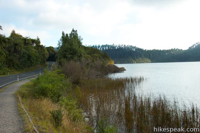
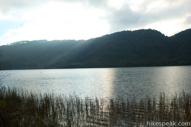
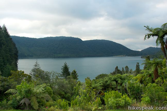
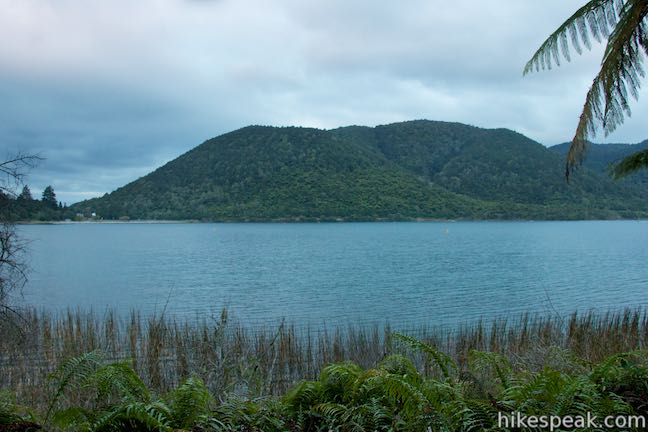
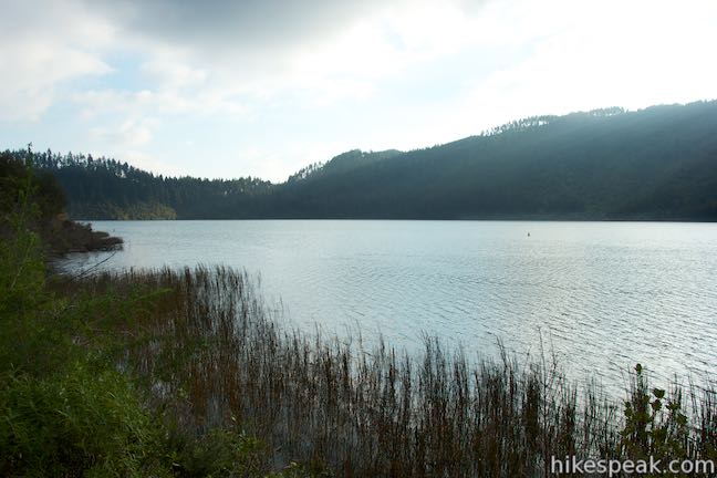
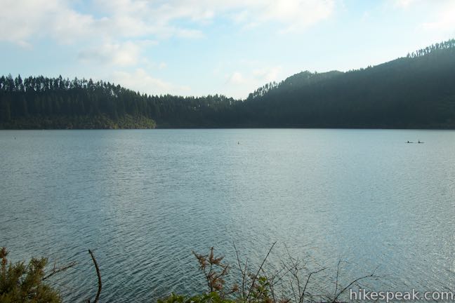
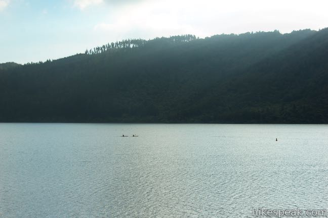
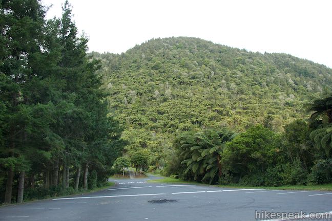
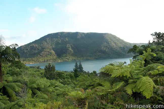
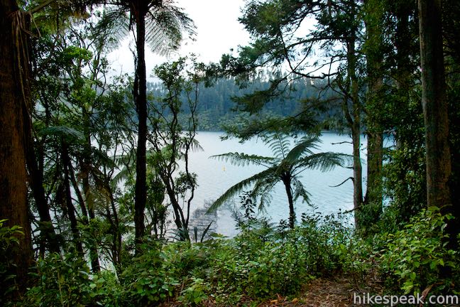
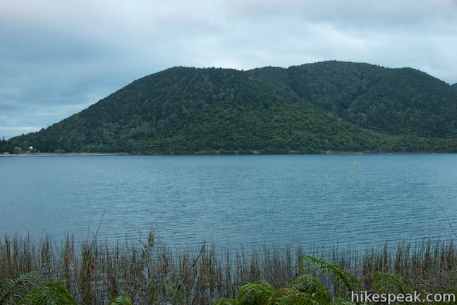
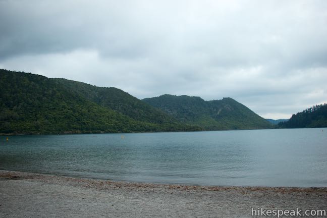
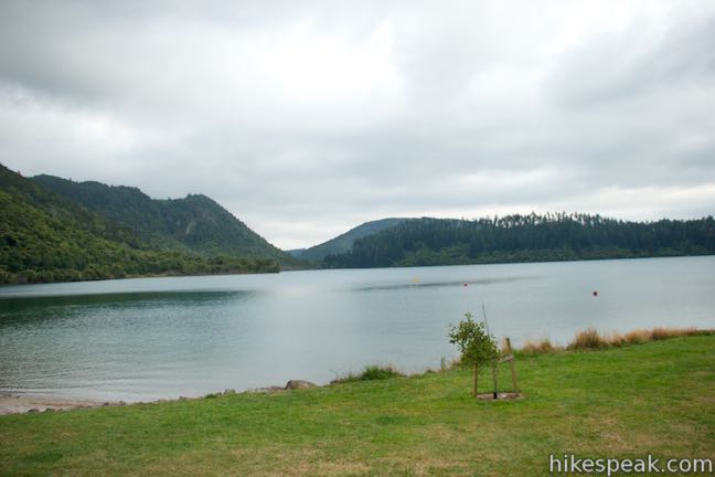
As you make your way down the path beside the road, look to your right across Blue Lake. A ridge runs along the entire length of the lake’s western shore, topping out at the 734-meter summit of Moerangi Peak. Blue Lake is a crater lake that formed 13,500 years ago. It covers 150 hectares, has no surface outlet, and is one of several smaller lakes southeast of Rotorua. Rhyolite and pumice on the bottom of the lake (at a maximum depth of 27.5 meters) get credit for the turquoise blue color of the water. Blue Lake’s other name is Lake Tikitapu, which a sign explains signifies “the place where the daughter of a high born chief lost her sacred greenstone ornament.”
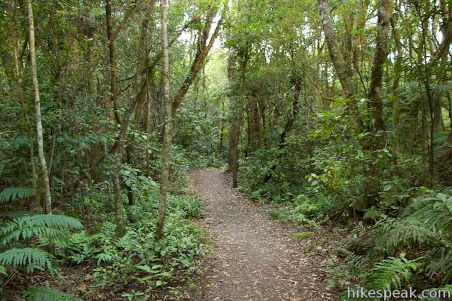
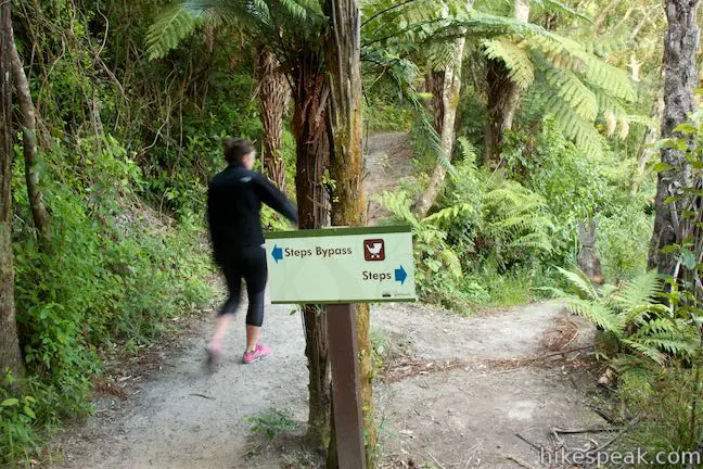
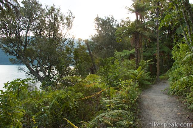
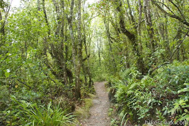
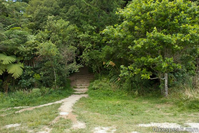
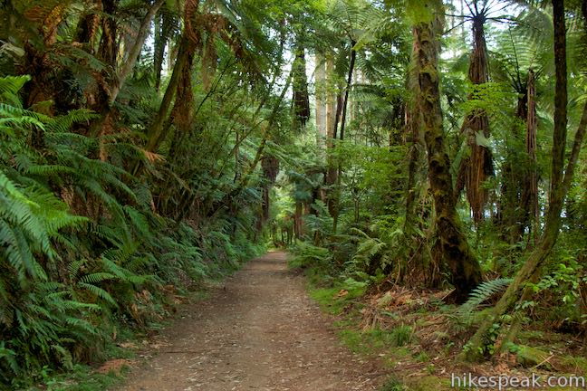
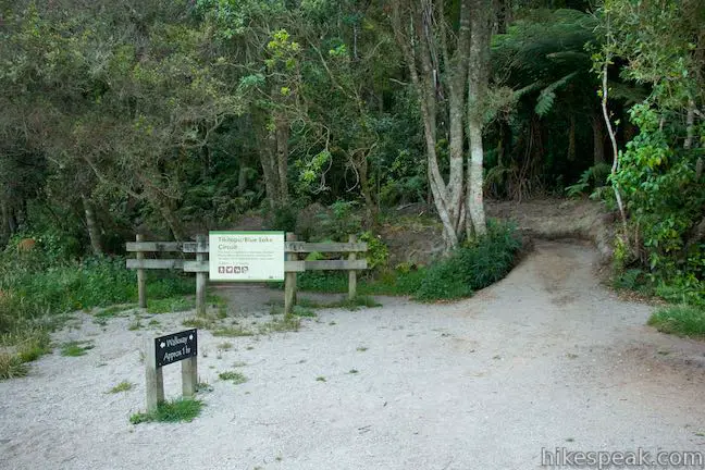
Leave the road, following a sign for the walkway circuit. Blue Lake Track dips through forest and gets closer to the edge of the lake. After another 250 meters, reach a split. One fork of the track veers slightly to the right while another, labeled steps bypass, goes to the left. The lower route to the right has just a few steps, but not many. Both routes are fine and they reunite after just 40 meters. Proceed up the track to a more important junction that comes 1.45 kilometers from the start of the walk. According to the sign, the track to the left takes a 400-meter long route to the lookout and car park via the road. The track to the right reaches the same overlook but stays along the lake past a pair of beaches. After the beaches, a series of steps lead up to the car park and overlook, demanding a bit of effort. No doubt this route is more scenic than walking along the road again.
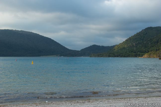
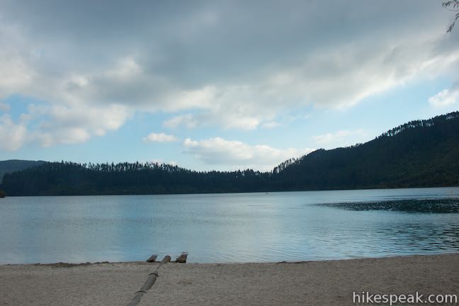
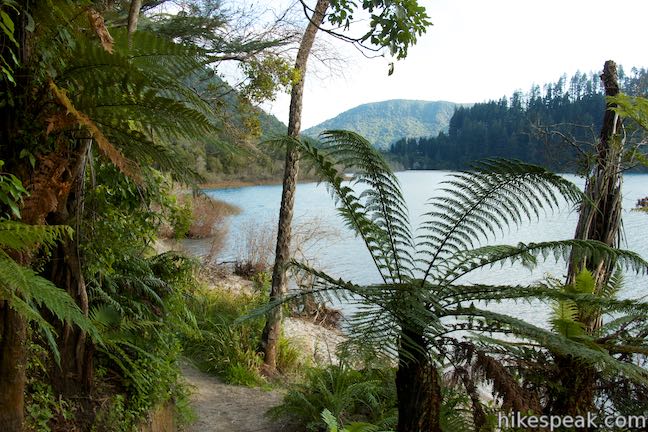
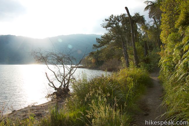
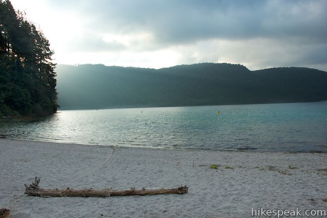
Not far after that right turn, you can take a spur path out to a small beach on the lakeshore. This is a nice place for a private swim with views up and across Blue Lake. For a larger beach, continue down Blue Lake Track. At 1.9 kilometers from the start of the walk, the track comes to South Beach, a wide sandy beach at the southeast end of Blue Lake. South Beach has beautiful views looking back up the peaceful mountain-framed lake.
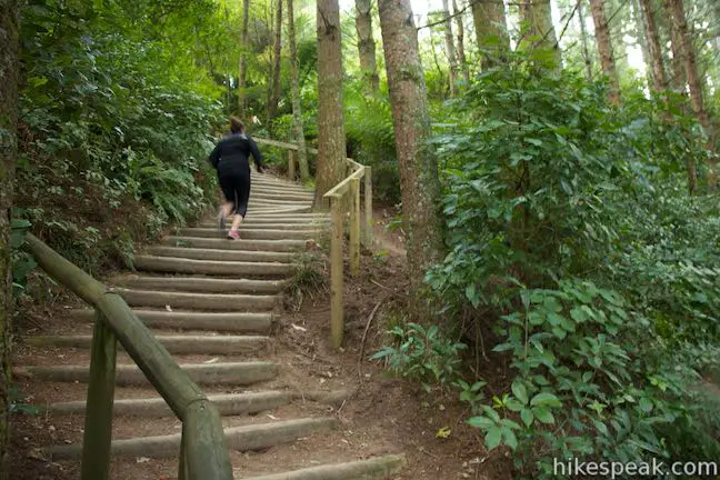
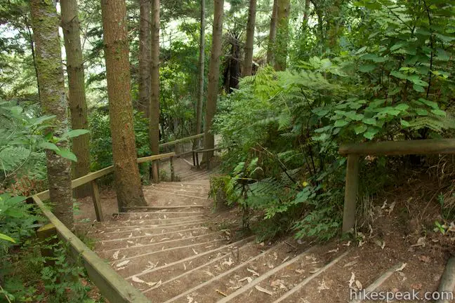
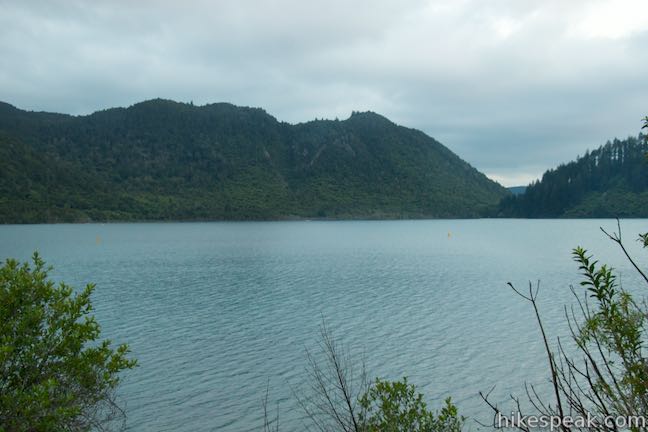
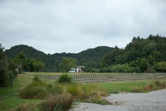
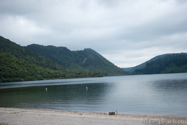
Things get more challenging ahead as you must take steps up a ridge of land between Blue Lake and Green Lake, a larger lake to the south. Go up an initial section of steps and bear left up an even steeper flight of stairs. The steps aren’t too long (this is the only remotely strenuous part of an otherwise easy walk), and after 150 meters you will reach a car park at the top. Blue Lake Track continues to the right through the forest along the south side of the lake and then up the west side. Before continuing the circuit, bag a couple extra views. Directly across from the staircase up to the car park, another track heads into the forest above Green Lake. Walk a few paces down this track for a nice view over one end of Green Lake, framed by the surrounding forest.
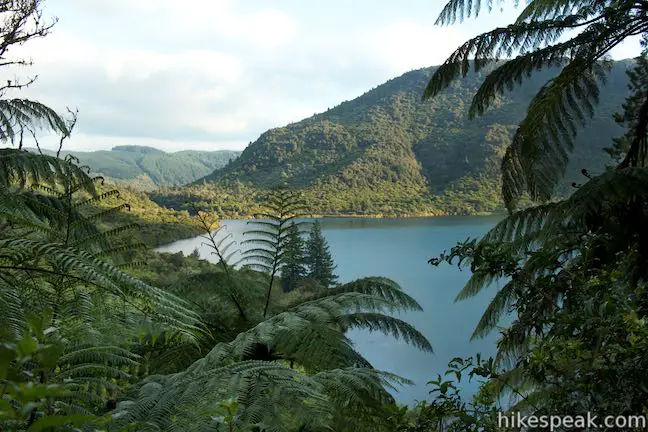
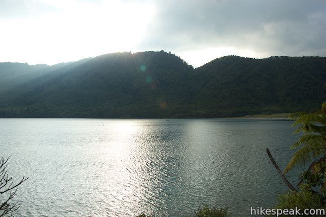
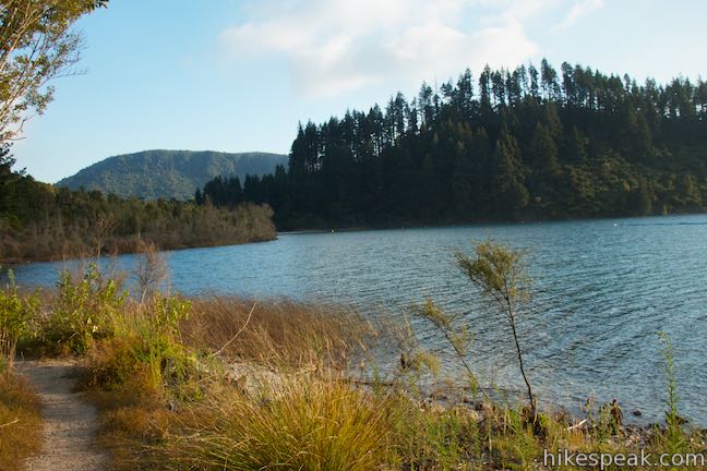
Now walk toward the east side of the car park to stairs leading up to an overlook with a two-lake view. Get the hike’s loftiest view over Blue Lake to the north and then turn around to admire Green Lake, also called Lake Rotokakahi, which is nearly three times larger.
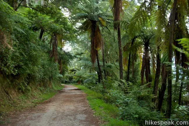
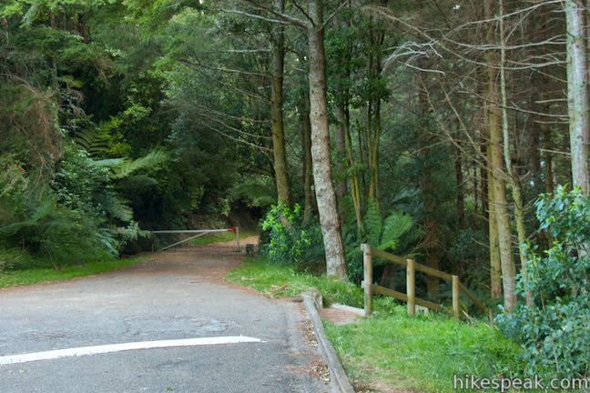
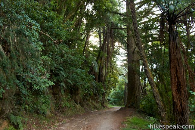
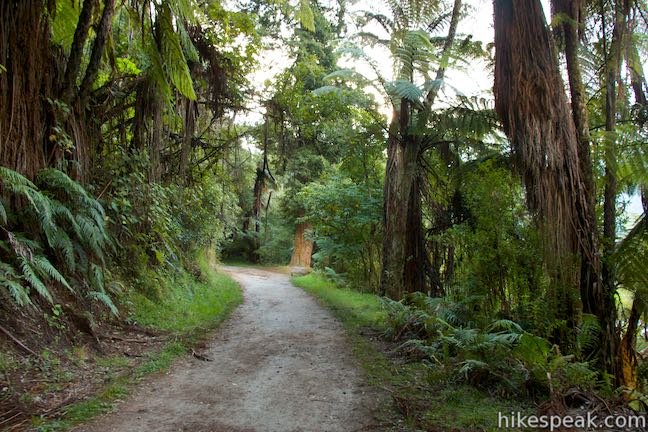
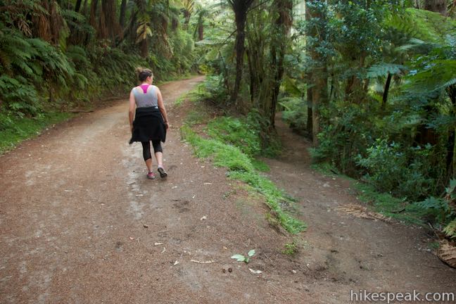
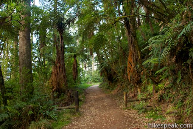
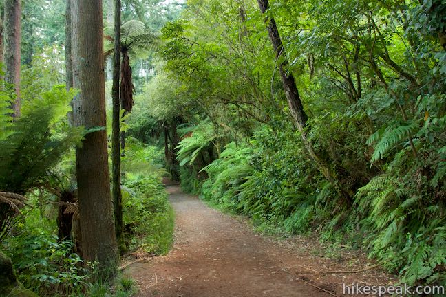
Leave the overlook and walk 100 meters back to the west end of the car park by the top of the steps you took up. Proceed west on Blue Lake Track, which is now a wide road. Go around a white gate next to a sign for the walkway. The track crosses through a lush forest on the slopes above the lake, staying a good distance above the water. The lake appears at occasional views through the trees on this pleasant woodland walk.
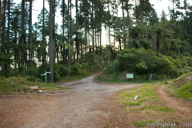
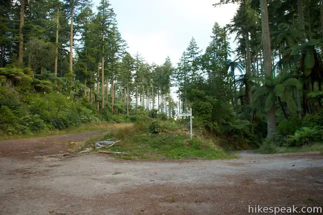
After another 850 meters (3.15 kilometers from the start), stay to the left through an unmarked junction to remain on the main track, passing an alternate route. In another 250 meters, you will come to a crossroads. According to the sign, you could venture onto Lakefront Road for Whakarewarewa Circuit or go to the left on Lakefront Road to reach Rotokakahi / Green Lake Picnic Area. To continue with Blue Lake Circuit, turn right at this junction.
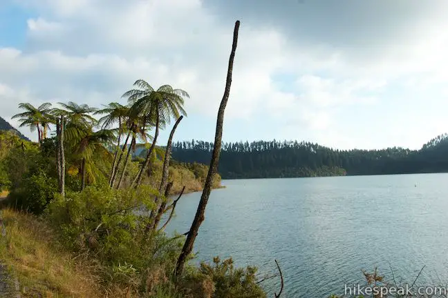
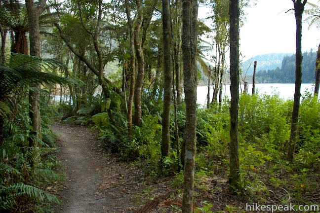
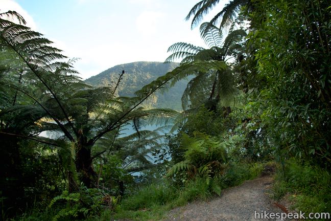
Pass through a wooden gate as the track starts to head gradually downhill. Walk below a canopy of trees in Whakarewarewa Forest and progress up the west side of Blue Lake. Windows through the trees allow you to look out across the lake toward the east side that you crossed at the beginning of this loop.
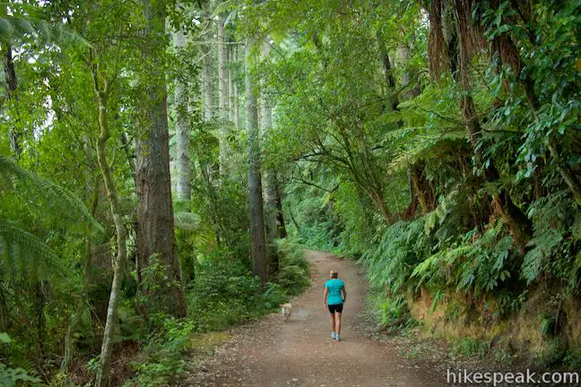
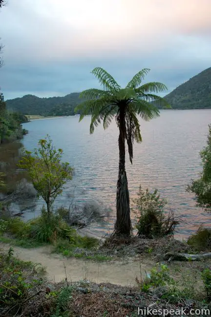
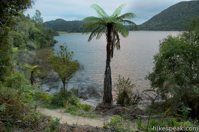
At 3.9 kilometers from the start, continue straight as another track joins Blue Lake Track from the right. In another 450 meters, you will reach a vista point with wooden railings and a tree-framed vantage over Blue Lake. Sights over the lake keep improving as you follow the track down through the forest, edging closer to the calming water. Reach the lake’s edge at 4.8 kilometers from the start of the walk, at a point that extends from the shore with a sweeping view. The beaches on both ends of the lake are visible from this spot.
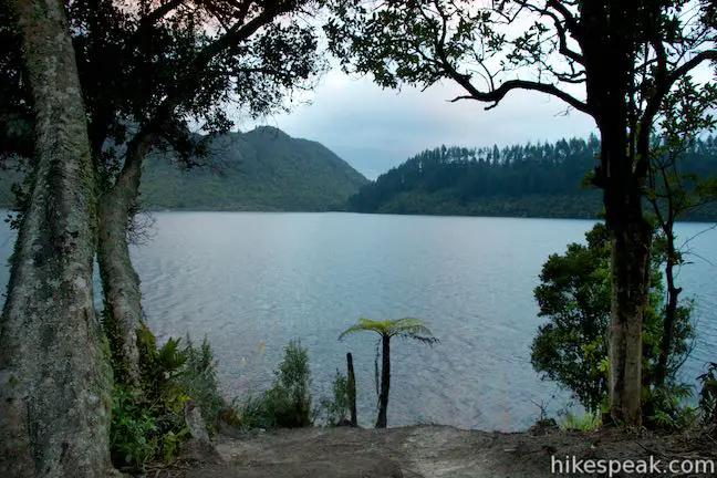
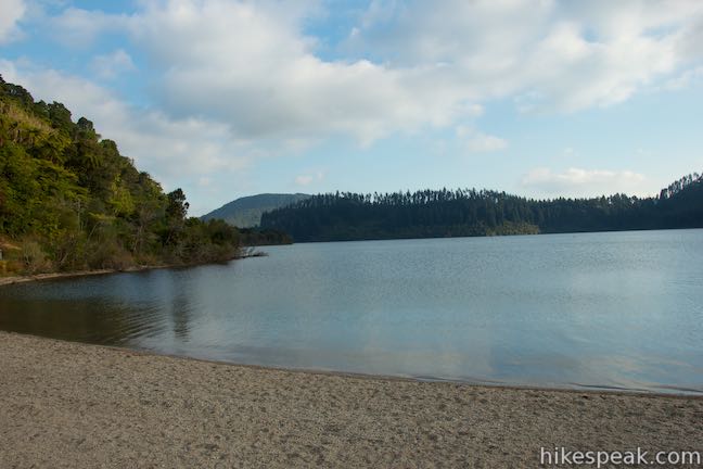
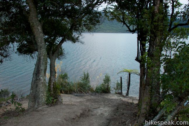
Blue Lake Track stays close to the shore for the final 850 meters through the forest. Eventually, you will come to the end of the formal track by the beach at the northwest corner of the lake (5.65 kilometers from the start). A sign at this end of the track recommends that visitors start the loop from the east side of the beach (as described here). Walk by a park at the northwest end of the lake and make your way across the north shore. Go by a swimming area and then a boats only area with a boat launch. When you get back to the beach at the northeast end of the lake where you began the loop, you will have hiked 6.15 kilometers. On a warm day, you may be drawn into the water for a post-hike swim.
Dogs are welcome on Blue Lake Track, but bikes are not allowed. Lake Tikitapu Scenic Reserve is free to visit and no permit is required for Blue Lake Track, so get out and enjoy!
Directions to the Trailhead
- From the center of Rotorua, take State Highway 30A east from State Highway 5 for a few kilometers.
- The road joins State Highway 30 and turns north.
- Drive one kilometer to the next major intersection and use the roundabout to head southeast on Tarewera Road.
- Approach the lake after 7 kilometers and proceed to the pull-in parking spots on the right by the beach at the northeast end of the lake.
- Blue Lake Top 10 Holiday Park lies directly across from the beach at the start of the walk.
Trailhead Location
Trailhead address: 723 Tarawera Road, Lake Okareka, Rotorua, Bay of Plenty, 3076, New Zealand
Trailhead coordinates: -38.1875, 176.332 (38° 11′ 15.00″S 176° 19′ 55.19″E)
You may also view a regional map of surrounding New Zealand tracks, campgrounds, and lodging.


 | Waimangu Volcanic Valley This 4.75-kilometer one-way route descends through a landscape of spectacular geothermal features like Frying Pan Lake, the largest hot spring in the world. Pair a walk down the valley with a Lake Rotomahana Boat Cruise for a memorable geothermal experience in Rotorua. |
 | Lake Rotomoahana Boat Cruise Take a boat tour over the lake at the bottom of Waimangu Volcanic Valley, getting close to steaming vents and geysers right along the lakeshore for a unique on-the-water experience. The cruise is reachable by bus or a hike down Waimangu Volcanic Valley. |
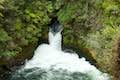 | Okere Falls Track This scenic 3-kilometer walk through Okere Falls Scenic Reserve has views of multiple waterfalls, cascades, and pools on the Okere River near Rotorua. |
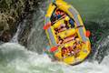 | Kaituna River Whitewater Rafting Take a memorable trip down the Kaituna River (Okere River) through Okere Falls Scenic Reserve that includes a thrilling plunge over Tutea Falls, the tallest commercially rafted waterfall in the world! |
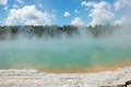
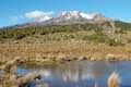
 | Crater Lake This 1-kilometer walk in Rainbow Mountain Scenic Reserve goes to an overlook with views of a turquoise pool below vibrant cliffs. |
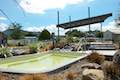
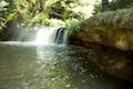 | Kerosene Creek This short walk follows Kerosene Creek down to a hot pool below a crescent-shaped waterfall. Bring your bathing suit and wade into warm, welcoming waters. |
 | Wai-O-Tapu Thermal Wonderland This thermal area full of hot pools, geysers, fumaroles, and mud pots can be explored on three successive loops for walks of 1.35 to 3.05 kilometers. |
 | More trails in New Zealand Explore other destinations for walking and hiking (as well camping and lodging) in New Zealand. |
 | Rotorua Top 10 This holiday park has campsites, cabins, and motel accommodations in a fun setting near the center of Rotorua with amenities that include mineral hot pools. |
 | Murupara Motor Camp Set in a small town in the Bay of Plenty Region of New Zealand, this motor camp is half holiday park and half motor lodge, offering a variety of accommodations in a location that is both removed from busy tourist centers and close to lots of fun outdoor activities. |
- Blue Lake Track on rotoruanz.com (opens in a new tab)
- Blue and Green Lakes on rotorua-travel-secrets.com (opens in a new tab)
- Blue and Green Lakes on rankers.co.nz (opens in a new tab)
- Blue Lake Track on freewalks.nz (opens in a new tab)
- Blue Lake on wikipedia.org (opens in a new tab)
- The official Department of Conservation webpage for Blue Lake Track (opens in a new tab)
- The official Department of Conservation webpage for Lake Tikitapu Scenic Reserve (opens in a new tab)
Common Questions about Blue Lake Track in Lake Tikitapu Scenic Reserve near Rotorua
- Is the trail open?
- Yes. You should expect to find that Blue Lake Track is open. There are no recent reports of trail closures. If you discover that the trail is closed, please help your fellow hikers by reporting a closure.
- Is this trail free to access?
- Yes, Blue Lake Track is free to access. No entrance fee, pass, or permit is required. If you discover that access rules have changed, please provide feedback on your experience.
- How much time does this hike take?
- It takes approximately 1 hour 45 minutes to hike Blue Lake Track. Individual hiking times vary. Add extra time for breaks and taking in the views.
- How long is this hike?
- The hike to Blue Lake Track is a 6.15 km / 3.8 mile circuit loop with 40 meters / 130 feet of elevation change.
- Are dogs allowed on this trail?
- Yes, dogs are allowed on Blue Lake Track. The trail is open to hikers, dogs.
- Is there a lake on this hike?
- Yes, Blue Lake Track visits a lake.
- Where is the trailhead located?
- The trailhead for Blue Lake Track is located in Rotorua, Bay of Plenty.
Trailhead Address:
723 Tarawera Road
Rotorua, Bay of Plenty 3076
Trailhead Coordinates:
-38.1875, 176.332 - What are the driving directions to the start of the hike?
To get to the trailhead: From the center of Rotorua, take State Highway 30A east from State Highway 5 for a few kilometers. The road joins State Highway 30 and turns north. Drive one kilometer to the next major intersection and use the roundabout to head southeast on Tarewera Road. Approach the lake after 7 kilometers and proceed to the pull-in parking spots on the right by the beach at the northeast end of the lake. Blue Lake Top 10 Holiday Park lies directly across from the beach at the start of the walk.
View custom Google Maps directions from your current location.
- Are there other trails near Blue Lake Track?
- Yes, you can find other nearby hikes using the Hikespeak Hike Finder Map.

Go the extra miles...
Submit a rating of this hike to go with your comment. Contribute to the average trail rating.