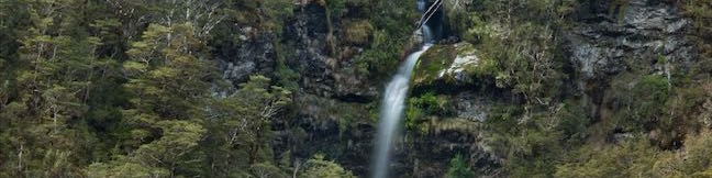
Devils Punchbowl Falls
in Arthur’s Pass National Park
Canterbury | New Zealand | South Island | Trails Trail Rating:
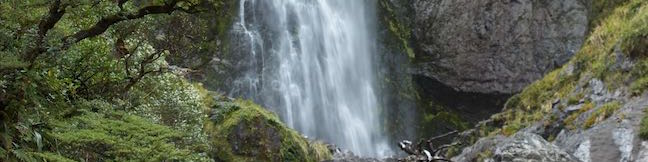
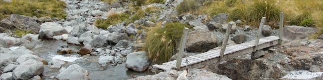
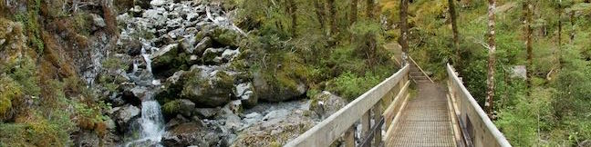
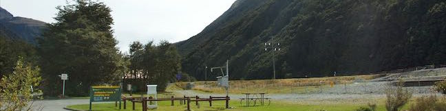
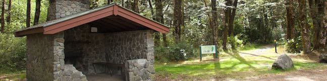
Devils Punchbowl Falls is a star attraction in Arthur's Pass National Park. The dynamic waterfall plunges 131 meters into a canyon near Arthur's Pass Village. The area's Māori named the waterfall Hinekakai, taking inspiration from its beautiful threads of water. Visitors can reach the waterfall on a 2-kilometer (1.4-mile) round trip walk beginning from Arthur's Pass Village. ...Read more.
By: Published: February 4, 2016 Last updated: December 9, 2025