Hikes in Siskiyou County

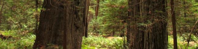
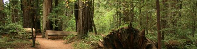
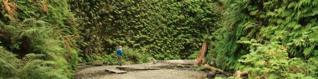
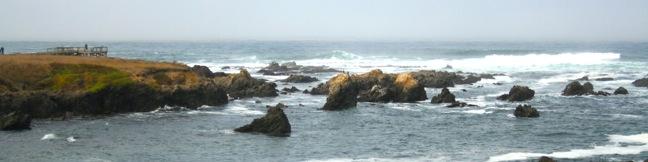
Located in Northern California, Siskiyou County is filled with mountainous volcanoes, clear lakes, and evergreen forests. The trails below are located around Mount Shasta. Mount Shasta is a massive 14,179-foot tall volcano that provides a scenic backdrop for many of the area's trails. Mount Shasta from Spring Hill [wp_ad_wide_page] Hiking in Siskiyou County Faery Falls and Ney SpringsThis short hike travels along a creek up to an impressive 50-foot waterfall, passing the ruins of an old resort along the way. ... Read more.
Founders Grove Nature Trail in Humboldt Redwoods State Park
The driving force in the creation of the redwoods state and national parks on California's North Coast was the Save-the-Redwoods League. Founders Grove was selected to memorialize the originators of that league. Expect something special on this easy half mile hike. A guide accompanying this trail is packed with useful information, allowing hikers to thoroughly experience a redwood forest on Founders Grove Nature Trail. ...Read more.
Distance: 0.5 miles · Elevation change: 25 feet
By: Published: September 28, 2011 Last updated: April 9, 2026
Stout Memorial Grove in Jedediah Smith Redwoods State Park
For a stroll through an old growth grove of coast redwoods, head to the heart of Jedediah Smith Redwoods State Park - Stout Memorial Grove. At just over half a mile in length with 75 feet of elevation change, Stout Memorial Grove Loop Trail offers an easy and enthralling hike through an ancient forest. Century old trees rise hundreds of feet above a lush carpet of ferns to create a enchanting hiking experience. ...Read more.
Distance: 0.55 miles · Elevation change: 75 feet
By: Published: September 25, 2011 Last updated: April 11, 2026
Fern Canyon Trail in Prairie Creek Redwoods State Park
If you've never walked between fifty foot walls of ferns, than you haven't experienced a hike like Fern Canyon Trail. This short trek transports you through a cool moist canyon with fortress-like walls covered top to bottom in enchanting ferns. The trail starts just inland from a vacant stretch of the North Coast of California, and then turns inland into the lush shady forest housing Fern Canyon. ...Read more.
Distance: 1.1 miles · Elevation change: 75 feet
By: Published: September 23, 2011 Last updated: April 9, 2026
Laguna Point Boardwalk in MacKerricher State Park
Located three miles north of Fort Bragg in Mendocino County, MacKerricher State Park is an excellent place to step out and enjoy the North Coast of California. At the center of the park is Lake Cleone, a small freshwater lake within crawling distance of the Pacific. In addition to the 1.3-mile trail around that lake, a short enjoyable boardwalk goes to Laguna Point Seal Watching Station. ...Read more.
Distance: 0.6 miles · Elevation change: 25 feet
By: Published: September 22, 2011 Last updated: April 9, 2026
Salt Point Trail in Salt Point State Park
On the Sonoma County coast north of San Francisco, you will find an exceptional stretch of waterfront going under the name Salt Point State Park. This 6,000-acre park includes a marine reserve that is popular with divers and great oceanfront trails for hikers. The 3-mile round trip Salt Point Trail is level with nonstop views. It crosses grassy bluffs along a jagged shoreline to deliver a classic NorCal hiking experience. ...Read more.
Distance: 3 miles · Elevation change: 50 feet
By: Published: September 21, 2011 Last updated: December 5, 2025