Mount Saint Helens National Volcanic Monument may not have any campgrounds, but you’ll find plenty of places to camp in the surrounding Gifford Pinchot National Forest and other parks. Here are two campgrounds consider:
Beaver Bay Campground
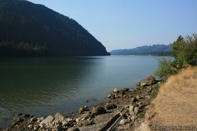
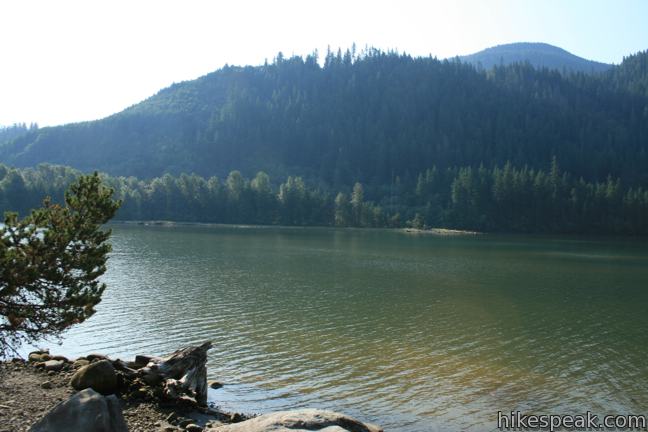
This campground, which is not operated by the national forest, is conveniently located near trails like Ape Caves, Trail of Two Forests, June Lake, and Lava Canyon. Beaver Bay Campground is a boat-friendly campground on Yale Reservoir east of the town of Cougar. The campsites are stacked fairly close together, but on the plus side, they are just a short distance from scenic waterfront. A $34 per night charge (price as of 2025) includes access to showers (no coins needed), full bathrooms, and a beach. Fire rings and picnic tables are at each site. The campground is has 63 individual sites and 15 group sites. Reservations are accepted. The elevation of the campground is 550 feet.
Alert: Due to a renovation project, Beaver Bay Park Campground is closed to all public use for the entire 2025 recreation season.
To get to Beaver Bay Campground: From Interstate 5, 140 miles south of Seattle and 25 miles north of Portland, take exit 21 on to Route 503 East toward Cougar. After 30 miles, turn right into Beaver Bay Park. The park is located two miles past the town of Cougar and five miles west of Forest Service Road 83, which is taken to reach Ape Caves, Trail of Two Forests, June Lake, and Lava Canyon.
Campground address: Lewis River Road, Beaver Bay Park, Ariel, WA 98603
Campground coordinates: 46.061626, -122.263404 (46° 03′ 41.85″N 122° 15′ 48.25″W)
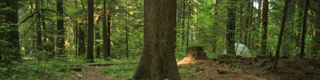
Paradise Creek Campground
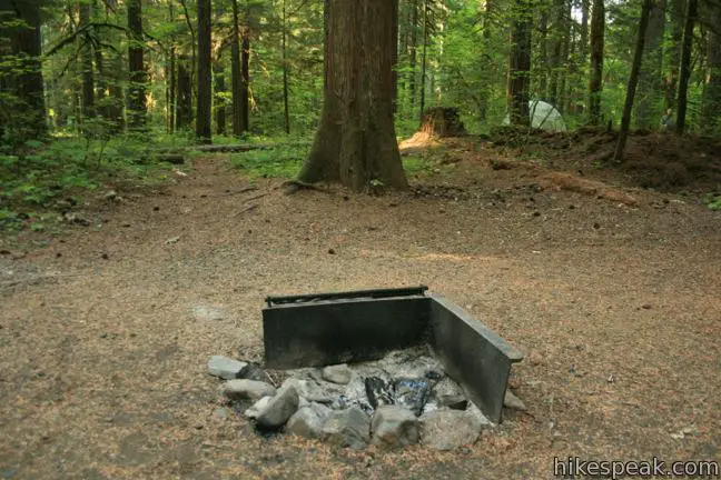
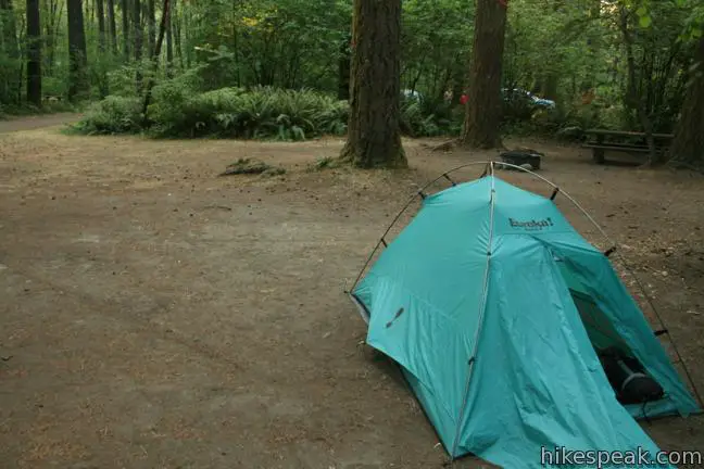
This campground, operated by the Gifford Pinchot National Forest, is located in a shady forest south of Mount Saint Helens and north of the Columbia River Gorge on the Oregon Border. The campground lacks a good source of potable water, and the portopodies leave a bit to be desired, but what Paradise Creek does offer, it offers is camping in a quintessential northwestern forest. Pop a tent on a forest floor of ferns beneath grand Douglas fir and western cedars. The campground is open seasonally from May to September for $25 per night (as of 2025). The 41 tent-friendly campsites are spread along two connecting loops at an elevation of 1,600 feet.
To reach Paradise Creek Campground: From Interstate 84, 40 miles east of Portland, Oregon, take exit 44 and cross the Columbia River on the “Bridge of the Gods” toll bridge into Washington. Turn right on Route 14 and drive six miles to Carson. Turn left on Wind River Road and drive 20 miles to the campground, located on the right just before a hairpin bend in the road.
From Interstate 5, 140 miles south of Seattle and 25 miles north of Portland, take exit 21 on to Route 503 East toward Cougar and Swift Reservoir. After 56 miles (21 miles past Forest Service Road 83), turn right on Wind River Road/Meadow Creek Road and drive 7 miles to the campground, located on the left after a hairpin bend in the road.
Campground address: National Forest Road 3059, Gifford Pinchot National Forest, Carson, WA 98610
Campground coordinates: 45.950135, -121.936748 (45° 57′ 00.48″N 121° 56′ 12.29″W)
Use the map below to get directions:


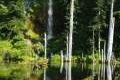 | June Lake in Mount Saint Helens National Volcanic Monument This 2.6-mile hike visits a small lake and a waterfall on the southern slopes of Mount Saint Helens. |
 | Lava Canyon Trail in Mount Saint Helens National Volcanic Monument This 1.25-mile loop explores a colorful canyon re-carved by the 1980 eruption of Mount Saint Helens. |
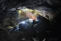
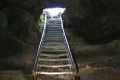 | Ape Cave in Mount Saint Helens National Volcanic Monument This adventurous underground hike travels through one of the longest lava tubes in the world. |
 | Trail of Two Forests in Mount Saint Helens National Volcanic Monument This short nature trail tours a landscaped that was transformed by a molten lava flow. For extra fun, crawl through a 50-foot long lava tube beneath the trail. |
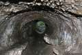
 | Guler Ice Cave in Gifford Pinchot National Forest This short hike goes underground to explore an old lava tube with frozen stalactites and stalagmites, plus other interesting cave features. |
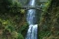 | Multnomah Falls in Columbia River Gorge This 0.4 to 2.6-mile hike visits Oregon’s tallest (and probably most visited) waterfall, offering something to hikers of all abilities. |

5 Comments on Camping around Mount Saint Helens National Volcanic Monument
What hikers are saying:
✨ Generated summary of user commentsCampers find Beaver Bay Campground a convenient base for summiting Mount Saint Helens because the common climbing route begins nearby. While dogs are welcome at the local campgrounds and on several surrounding trails, they are strictly prohibited inside tunnels and caves like Ape Cave Lava Tube.
Which campsite would be the closest to the trailhead to summit Mt. St. Helens? I’m not sure which end it starts on. Thank you.
If you are considering climbing Mount Saint Helens, you can find more info here: https://www.fs.usda.gov/detail/mountsthelens/passes-permits/?cid=STELPRDB5144806
The common climbing route from the south begins near Ape Cave, so Beaver Bay Campground would be a good close option.
I’m hoping I can make Cougar Campground at Yale Lake in Washington state a base camp and do a 3-day/2-night or 4-day/3-night hike from there on moderate terrain. If this is possible can you give me stop points for 4-7 miles a day (and water spots and refer me to a topo map I can purchase online? If not possible to start at Cougar Campground, where is the nearest trailhead where a plan like this would work? Thanks so much
Are dogs ok to have at Beaver Bay or Paradise Creek Campground and on the hiking trails.
Dogs are allowed at both campgrounds. Nearby trails like June Lake Trail, Lava Canyon Trail, and Trail of Two Forests allow dogs. Hikes into tunnels and caves (like Ape Cave Lava Tube and Guler Ice Cave) do not allow dogs.