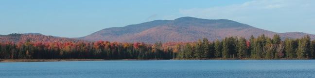
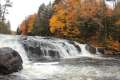
Rock Lake
in the Adirondack Mountains
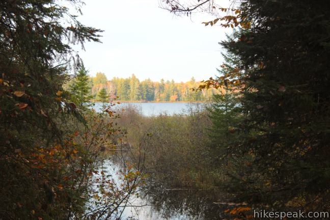
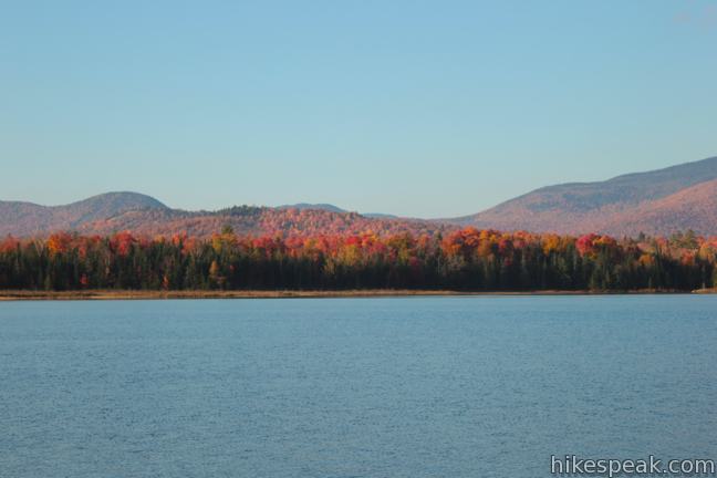
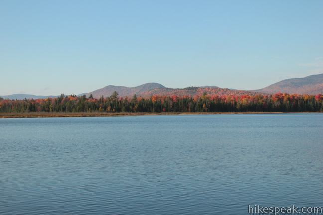
Several Adirondack lakes line the roadways in Hamilton County, New York (Blue Mountain Lake, Indian Lake, Long Lake, and Raquette Lake to name a few), but sometimes it is more refreshing to hike to a scenic lake that can’t be seen from the road. Leave the vehicle noise behind on this easy 1.6-mile round trip hike with just 100 feet of elevation change. The pleasant trail follows a creek to the shore of a picturesque lake surrounded by Adirondack peaks.
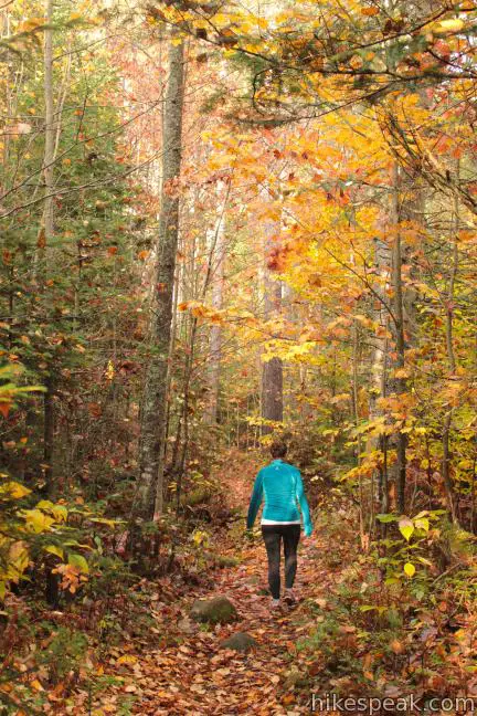
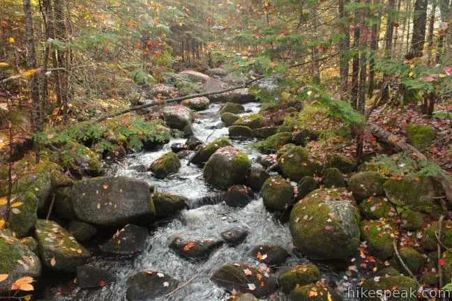
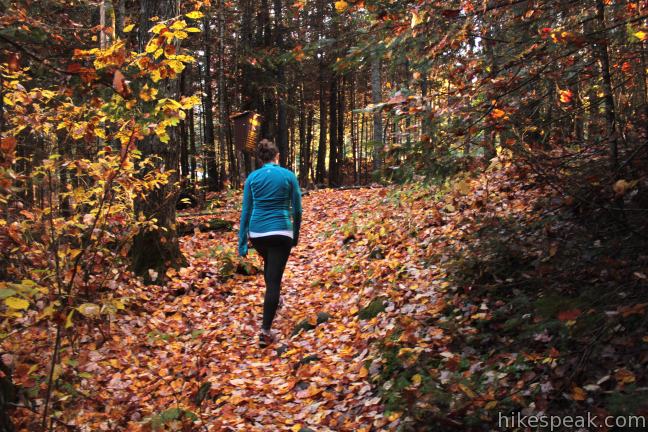
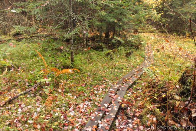
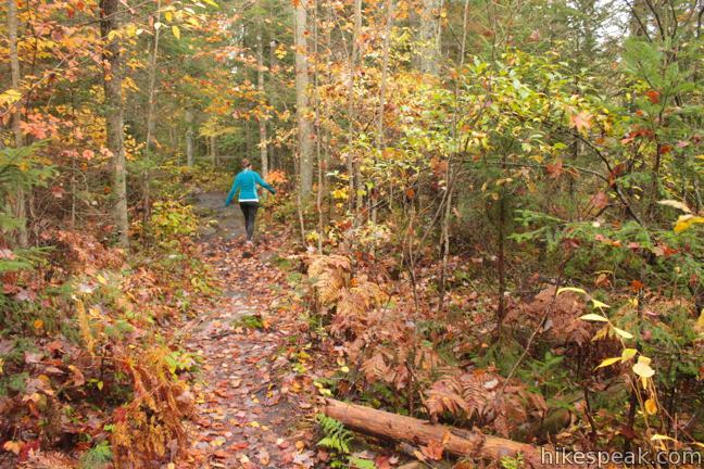
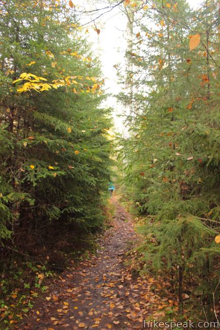
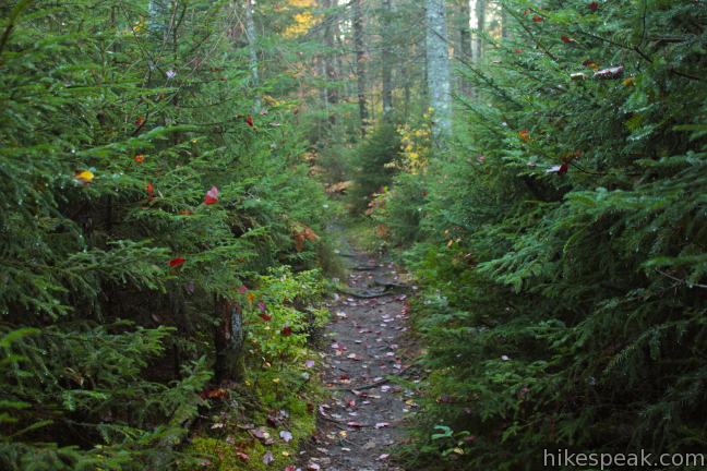
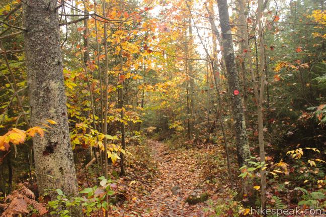
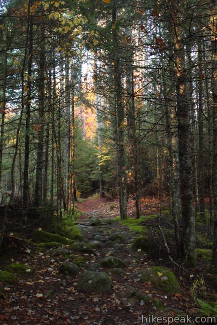
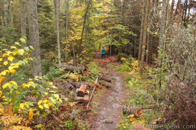
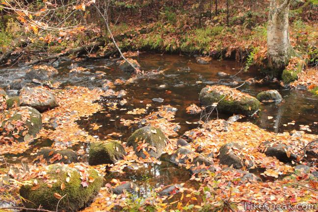
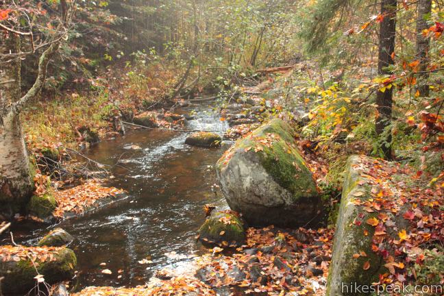
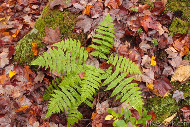
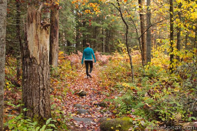
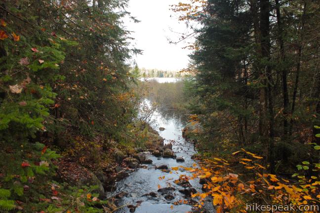
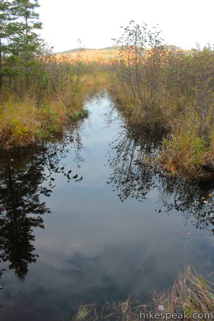
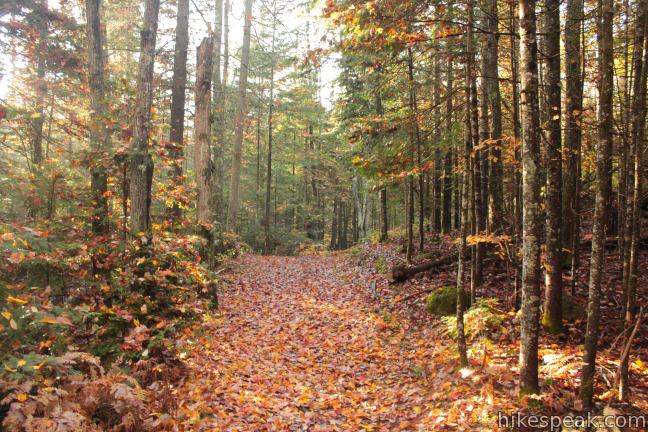
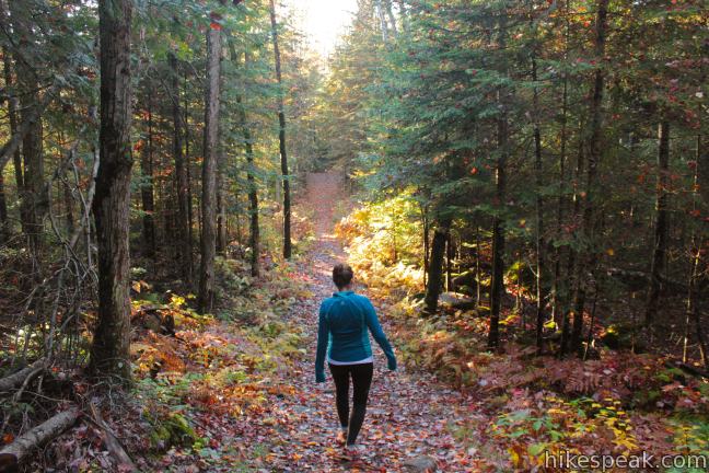
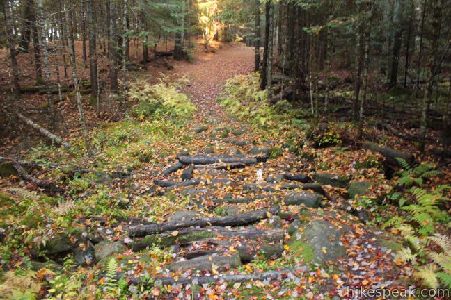
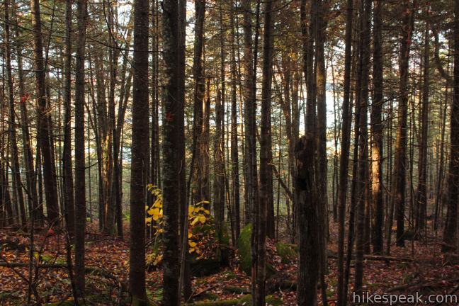
The trail angles north from a trailhead along Route 28 between the towns of Blue Mountain Lake and Indian Lake, plotting a level course through a mixed forest dominated by pines and firs. Just beyond the start, you will cross wooden planks over a wet area and a small stream. Later, a third of a mile from the start, the trail comes parallel with Johnny Mack Brook, a babbling creek flowing north into Rock Lake.

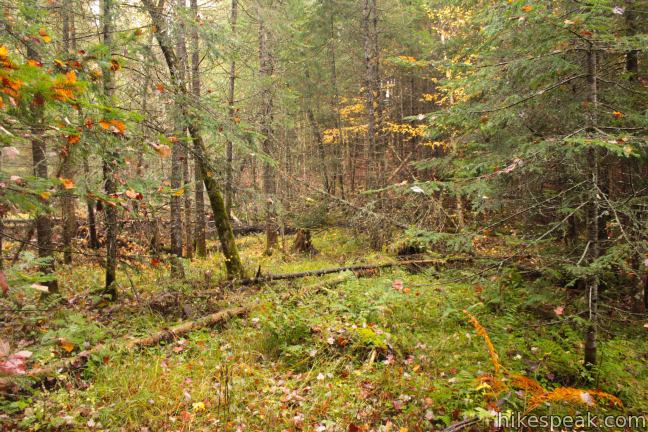
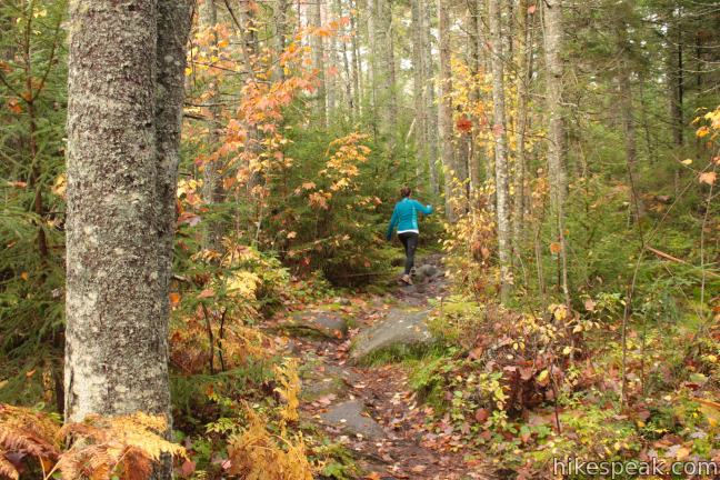
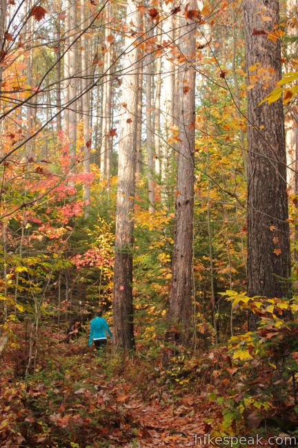
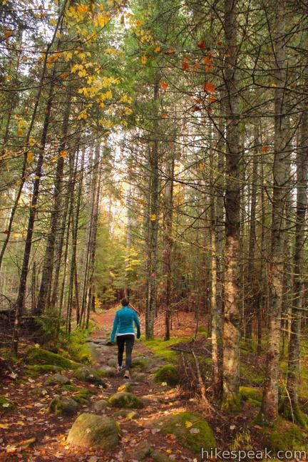
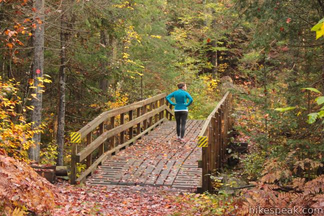
The trail to Rock Lake is completely gradual, allowing you to stroll casually and enjoy the beauty of the surrounding forest. Just over half a mile from the start, the trail comes to a T with a snowmobile trail running below the south shore of Rock Lake. To the right is a wide wooden bridge crossing Johnny Mack Brook. If you break off to the left just before the bridge, you can take a path into a marshy area on the west end of Rock Lake (finding wet toes and limited lake views). For a better perspective of Rock Lake, continue over the bridge to the right and follow the snowmobile trail around the lake.
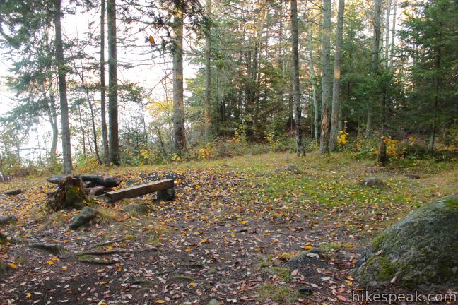
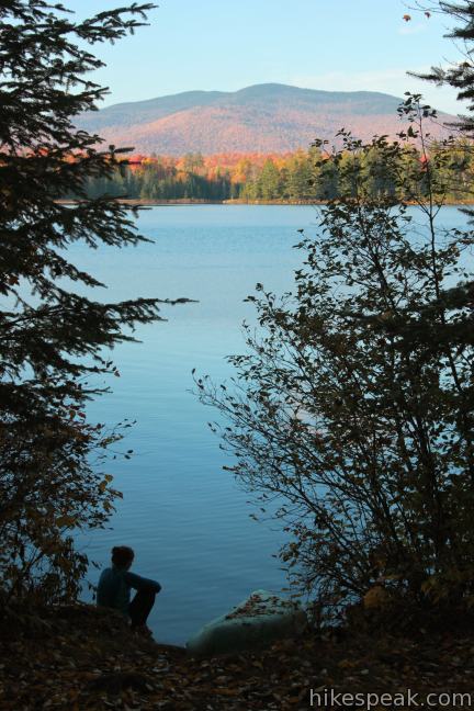
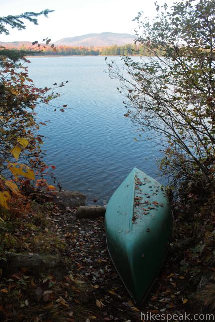
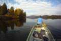
Stick with the wide snowmobile trail over 0.15 miles of rolling terrain. When you see a trail breaking off to the left, follow it down to the lake shore where you will find a backcountry campsite approved by the New York State Department of Environmental Conservation. This is one of five designated camp sites on Rock Lake. A second site is located along the south shore off the snowmobile trail, and three more sites on the north shore that are typically accessed by boat. Backpackers are welcome to camp in the designated sites on Rock Lake, but camping is prohibited in other areas around the lake.
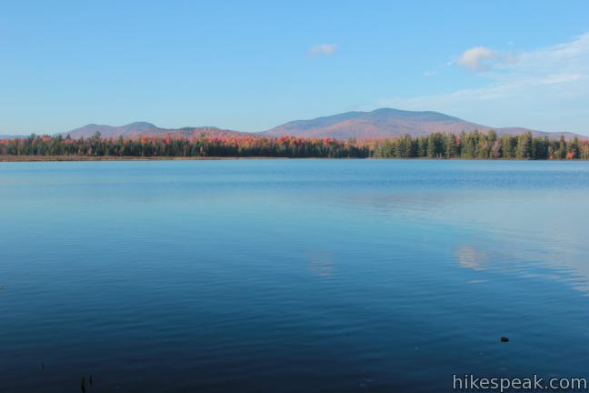
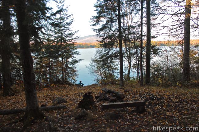
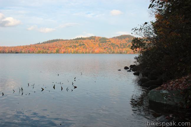
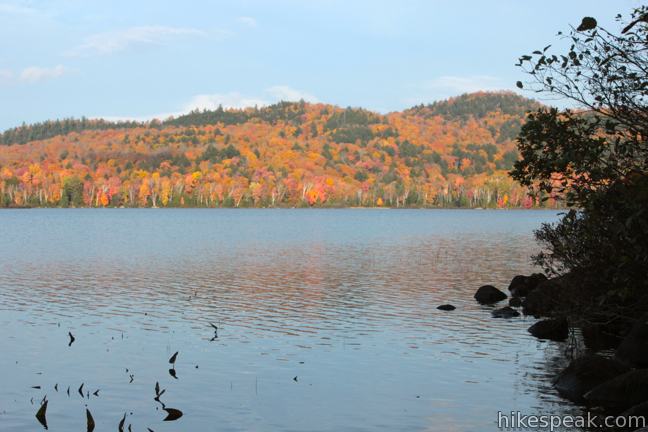
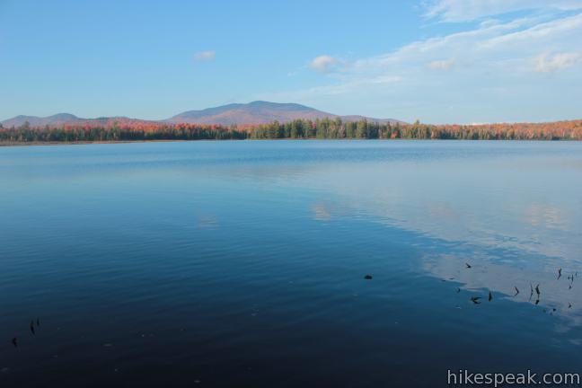
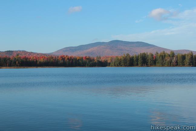
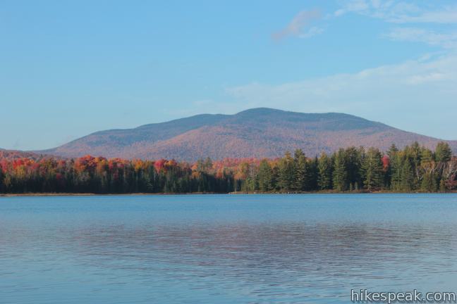
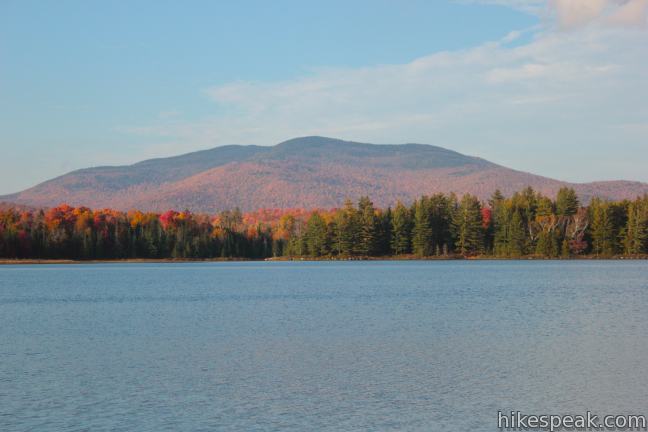
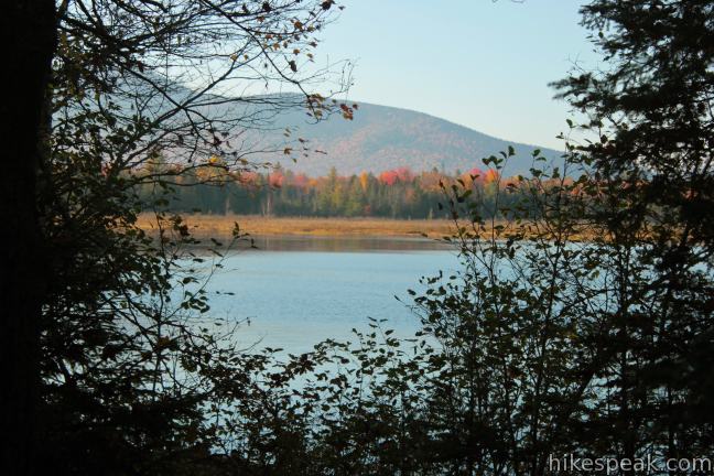
Step down to the rocky shore and find a place to take a break and enjoy the surroundings. To the left, you’ll have a view of the marshy area on the west side of the lake, followed by the ridges of Blue Mountain. Across the lake to the north is the rising figure of Dun Brook Mountain. The Stark Hills form rolling bumps along the east side of the lake.
After relaxing along Rock Lake, you may return the way you came on Rock Lake Trail. With extra energy, you may follow the snowmobile trail east along the lake to a junction with Rock River Trail. Rock River Trail starts from Route 28 near the trailhead for Sawyer Mountain and about a mile from the start of Rock Lake Trail. Rock River Trail heads farther north along the east side of Rock Lake to a trail camp on the Rock River below Rock Lake.
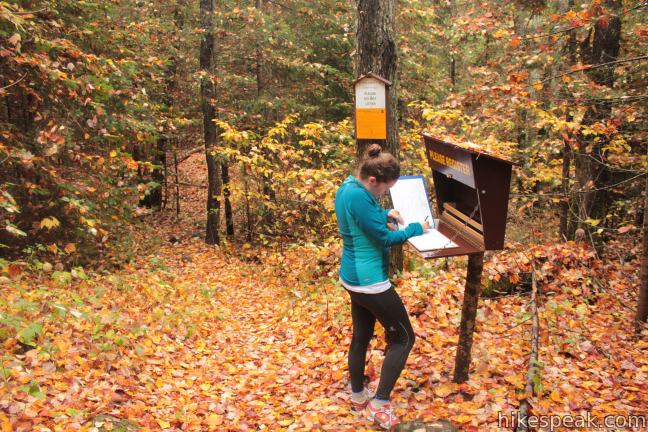
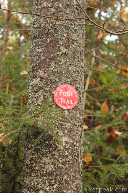
Red markers are posted to trees along Rock Lake Trail to keep you on course. No fee or permit is required to hike the trail to Rock Lake and dogs are welcome, so get out and enjoy!
Directions to the Trailhead
- From Blue Mountain Lake at the intersection of routes 28, 28N and 30, drive east toward Indian Lake on Route 28/30 for 5.2 miles to the trailhead on the south side of the road.
- The trailhead is 6 miles west of the town of Indian Lake.
Trailhead Location
Trailhead address: Route 28, Indian Lake, NY 12842
Trailhead coordinates: 43.82105, -74.347897 (43° 49′ 15.78″N 74° 20′ 52.42″W)
You may also view a regional map of surrounding New York trails and campgrounds.

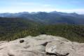
 | Sawyer Mountain This 2.5-mile round trip hike ascends 650 feet to a summit with panoramic viewpoints overlooking the surrounding Adirondack peaks and valleys. |
 | Grassy Pond This 1-mile round trip hike crosses level terrain to a peaceful pond, and the hike can be extended to 6 miles by hiking to the end of the trail and Wilson Pond. |
 | Buttermilk Falls This 0.5-mile round trip hike visits a pleasant waterfall on the Raquette River near Long Lake. |
 | Cascade Mountain & Porter Mountain This 6.2-mile hike bags a pair of High Peaks near Lake Placid with excellent views over the Adirondack Mountains. |
 | More trails in New York explore other hikes in the Empire State. |
 | Camping on Blue Mountain Lake Six designated primitive sites are located on Blue Mountain Lake's wilderness islands and shore. Are you ready to boat to your campsite? |
Common Questions about Rock Lake in the Adirondack Mountains
- Is the trail open?
- Yes. You should expect to find that Rock Lake Trail is open. There are no recent reports of trail closures. If you discover that the trail is closed, please help your fellow hikers by reporting a closure.
- Is this trail free to access?
- Yes, Rock Lake Trail is free to access. No entrance fee, pass, or permit is required. If you discover that access rules have changed, please provide feedback on your experience.
- How much time does this hike take?
- It takes approximately 45 minutes to hike Rock Lake Trail. Individual hiking times vary. Add extra time for breaks and taking in the views.
- How long is this hike?
- The hike to Rock Lake Trail is a 1.6 mile out and back with 100 feet of elevation change.
- Are dogs allowed on this trail?
- Yes, dogs are allowed on Rock Lake Trail. The trail is open to hikers, dogs.
- Is Rock Lake Trail good for kids?
- Yes, this hike is likely suitable for children. It is relatively short (1.6 miles) with manageable elevation gain.
- Is there a lake on this hike?
- Yes, Rock Lake Trail visits a lake.
- Where is the trailhead located?
- The trailhead for Rock Lake Trail is located in Indian Lake, New York.
Trailhead Address:
Route 28
Indian Lake, New York 12842
Trailhead Coordinates:
43.82105, -74.347897 - What are the driving directions to the start of the hike?
To get to the trailhead: From Blue Mountain Lake at the intersection of routes 28, 28N and 30, drive east toward Indian Lake on Route 28/30 for 5.2 miles to the trailhead on the south side of the road. The trailhead is 6 miles west of the town of Indian Lake.
View custom Google Maps directions from your current location.
- Are there other trails near Rock Lake Trail?
- Yes, you can find other nearby hikes using the Hikespeak Hike Finder Map.

Go the extra miles...
Submit a rating of this hike to go with your comment. Contribute to the average trail rating.