Kereru Loop
in Mount Thomas Forest Conservation Area
The shortest hike in Mount Thomas Forest is Kereru Loop, a 2.45 kilometer (1.5-mile) circuit that starts from Wooded Gully Campground. The loop employs three trails, Wooded Gully Track, Kereru Track, and Red Pine Track, for a quick walk through the forest. The loop doesn’t offer any grand vistas and is highlighted by picnic spot along Wooded Gully Stream. The hike takes less than an hour and is a convenient stroll for those staying at Wooded Gully Campground.
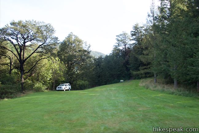
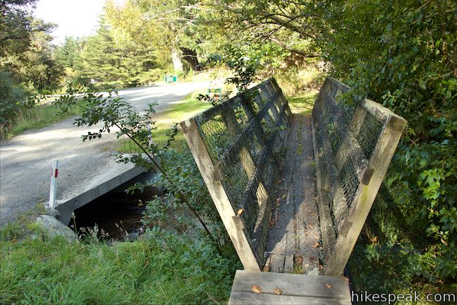
Park by an information panel on Hayland Road at the beginning of Wooded Gully Campground, which spreads out to the west. Walk north across a grass lawn for 100 meters to find a signs at the start of Wooded Gully Track and Summit Track. Summit Track parts to the right, presenting a tougher trek to the top of Mount Thomas. Venture up Wooded Gully Track, which is on the left, to begin Kereru Loop. You will make left turns at every opportunity on this short hike.
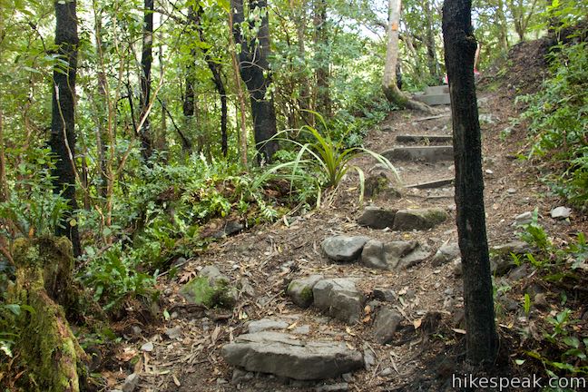
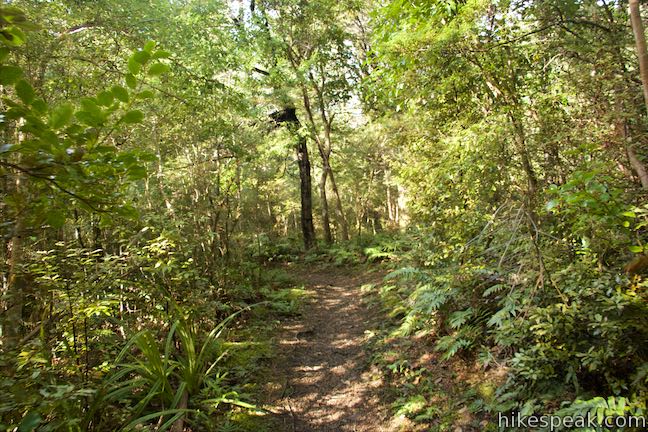
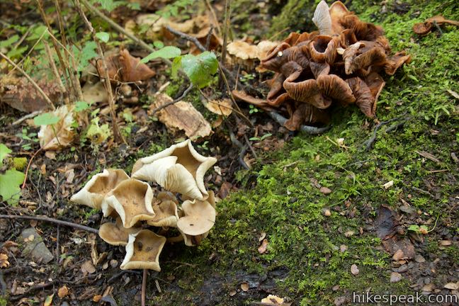
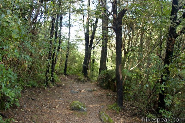
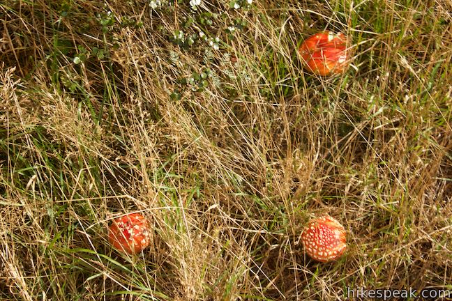
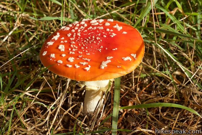
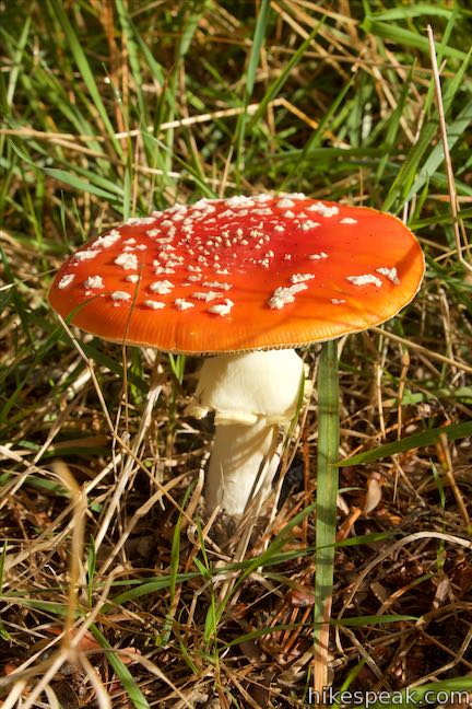
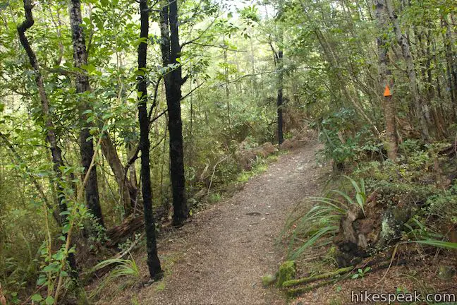
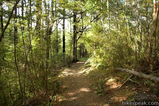
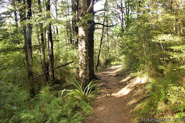
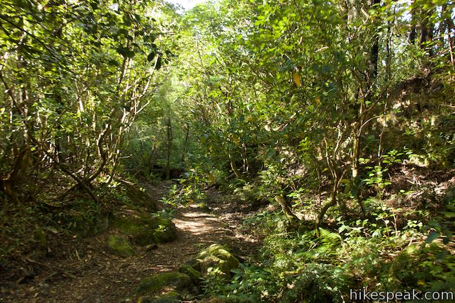
Wooded Gully Track is a dirt trail that enters the forest and heads gradually uphill. After a third of a kilometer, the track goes up some stone steps, but is otherwise easy going as it passes through the forest above Wooded Gully Stream. Cross a couple openings in the forest where low brush allows you to soak in some sunlight. Perhaps you’ll spot orange mushrooms in the grass before returning to the forest.
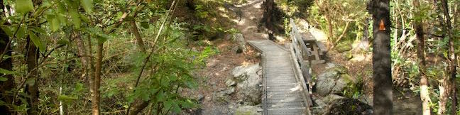
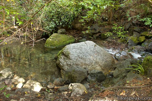
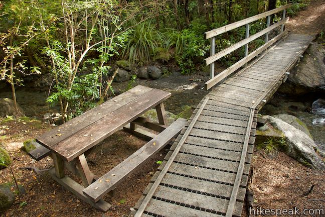
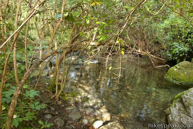
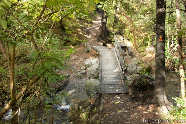
After 2/3 of a kilometer the track comes down to a picnic table and a footbridge over Wooded Gully Stream. If you brought a snack, have a seat at the table and watch the stream tumble through the forest. This is a nice spot to linger and probably the top attraction on this outing.
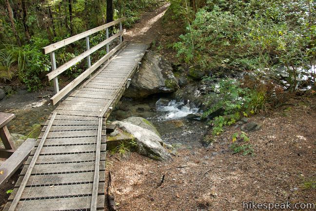
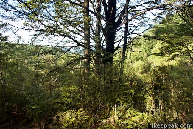
Across the bridge, Wooded Gully Track ascends a switchback and comes to a junction with Kereru Track. This 365-meter long track connectors to Red Pine Track, which parallels Wooded Gully Track on the other side of the canyon.
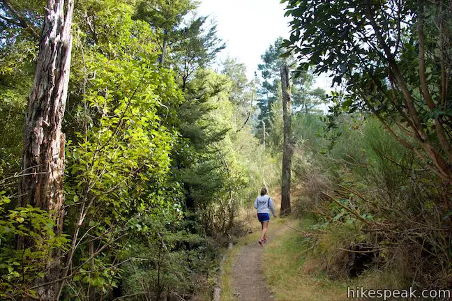
Turn left on Kereru Track and continue hiking uphill through more forest. In no time, you will reach Red Pine Trail. Turn left again and begin downhill now. A sign at the junction says that the car park is 1.25 kilometers (30 minutes) away to the left. Red Pine Trail also heads to the right and eventually connects to Wooded Gully Track after 2 kilometers (1.9 miles farther up Wooded Gully Track from the Kereru Track Junction that you went through earlier).
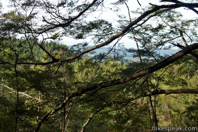
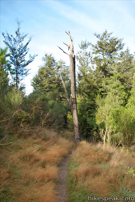
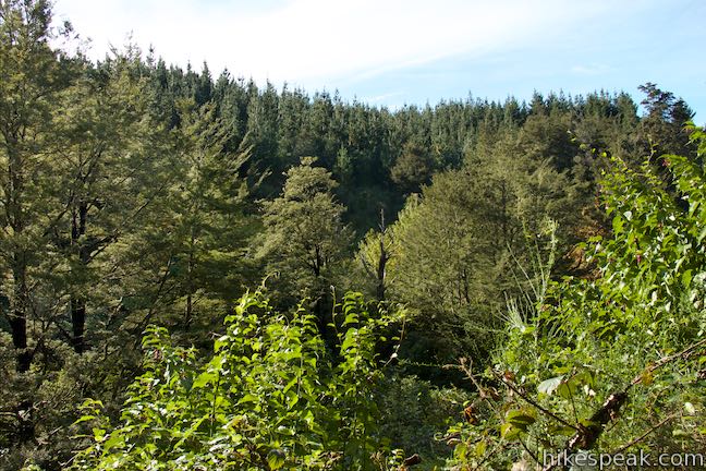
Walking along Red Pine Track, you will cross a small stream right off the bat. The track continues, meandering mostly downhill through the forest. After 200 meters, come to an area where the forest drops away to the right. Through branches of large pines, you’ll find a perspective out over the Canterbury Plains. While this view is obscured, it is the most expansive of the hike.
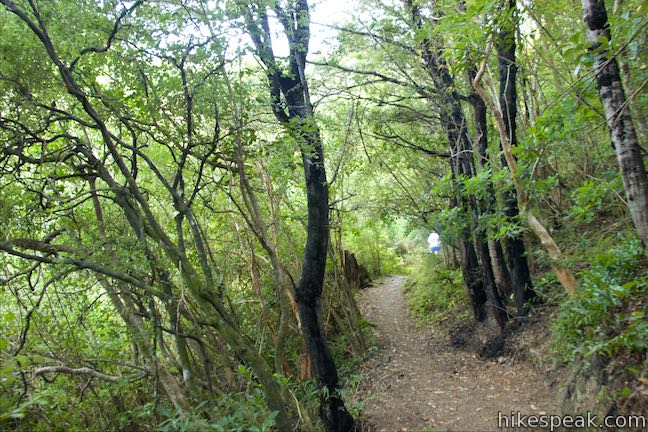
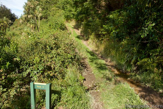
Hike through more forest along Wooded Gully Stream. After 850 meters on Red Pine Track, hit a split with a double-track trail that ascends to the right. A wooden sign directs you to bear left to stay on the track. Hike another 400 meters through trees and tall brush to come to the end of Red Pine Track. Ridge Track begins on your right when you reach the bottom of Red Pine Track, but turn left to get back to your starting point.
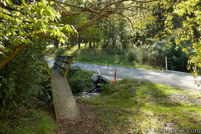
You could walk on the gravel road going through Wooded Gully Campground or take a narrow pedestrian bridge alongside the road crossing Wooded Gully Stream. It is a 100-meter walk from Red Pine Track back to the car park by the start of Wooded Gully Track.
Kereru Loop has 95 meters of elevation change over 2.45 kilometers (310 feet of elevation change over 1.5 miles). Unlike many hikes in New Zealand, dogs are allowed on leashes. No fee is charged to visit Mount Thomas Forest Conservation Area and it is inexpensive to stay at Wooded Gully Campground. No permit is required to hike Wooded Gully Track, Kereru Track, and Red Pine Track, so get out and enjoy!
Directions to the Trailhead
- From Oxford on Route 72, take Ashley Gorge Road northeast for 12.6 kilometers where it becomes Birch Hill Road.
- Go another 5 kilometers and turn left onto Hayland Road.
- Drive 3.6 kilometers and bear left to continue into the park, reaching the hiking tracks and campground after another 500 meters.
Trailhead Location
Trailhead address: 411 Hayland Road, Okuku, Canterbury, 7495, New Zealand
Trailhead coordinates: -43.1922, 172.3362 (43° 11′ 31.91″S 172° 20′ 10.31″E)
You may also view a regional map of surrounding New Zealand tracks, campgrounds, and lodging.


 | Kura Tawhiti / Castle Hill Conservation Area This 2 to 3-kilometer hike explores a fascinating jumble of limestone boulders close to Arthur's Pass National Park. |
 | More trails in New Zealand Explore other destinations for walking and hiking (as well camping and lodging) in New Zealand. |
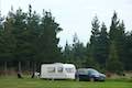 | Wooded Gully Campground This broad campground with minimal amenities has grassy sites near the start of the hiking tracks into Mount Thomas Forest Conservation Area. |
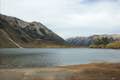 | Lake Pearson (Moana Rua) Campground This campground has about 20 sites along the shore of a peaceful lake between mountains in the Canterbury Region near Arthur's Pass National Park. |
Common Questions about Kereru Loop in Mount Thomas Forest Conservation Area
- Is the trail open?
- Yes. You should expect to find that Kereru Loop is open. There are no recent reports of trail closures. If you discover that the trail is closed, please help your fellow hikers by reporting a closure.
- Is this trail free to access?
- Yes, Kereru Loop is free to access. No entrance fee, pass, or permit is required. If you discover that access rules have changed, please provide feedback on your experience.
- How much time does this hike take?
- It takes approximately 45 minutes to hike Kereru Loop. Individual hiking times vary. Add extra time for breaks and taking in the views.
- How long is this hike?
- The hike to Kereru Loop is a 2.45 km / 1.5 mile circuit loop with 95 meters / 310 feet of elevation change.
- Are dogs allowed on this trail?
- Yes, dogs are allowed on Kereru Loop. The trail is open to hikers, dogs.
- Is Kereru Loop good for kids?
- Yes, this hike is likely suitable for children. It is relatively short (1.5 miles) with manageable elevation gain.
- Where is the trailhead located?
- The trailhead for Kereru Loop is located in Okuku, Canterbury.
Trailhead Address:
411 Hayland Road
Okuku, Canterbury 7495
Trailhead Coordinates:
-43.1922, 172.3362 - What are the driving directions to the start of the hike?
To get to the trailhead: From Oxford on Route 72, take Ashley Gorge Road northeast for 12.6 kilometers where it becomes Birch Hill Road. Go another 5 kilometers and turn left onto Hayland Road. Drive 3.6 kilometers and bear left to continue into the park, reaching the hiking tracks and campground after another 500 meters.
View custom Google Maps directions from your current location.
- Are there other trails near Kereru Loop?
- Yes, you can find other nearby hikes using the Hikespeak Hike Finder Map.

Go the extra miles...
Submit a rating of this hike to go with your comment. Contribute to the average trail rating.